


|
|
|
|
|
|
| Steve, Katherine, and Norah | profile | all galleries >> Galleries >> Sierra Backpacking 2010 | tree view | thumbnails | slideshow |
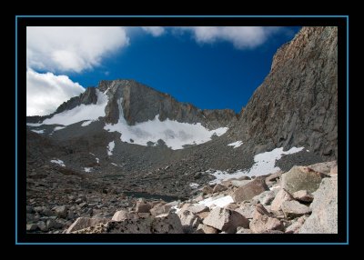
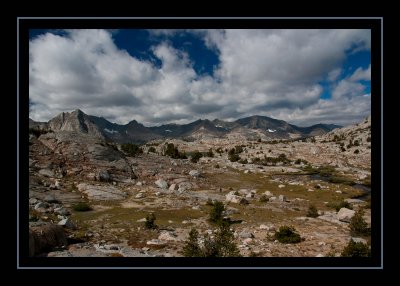
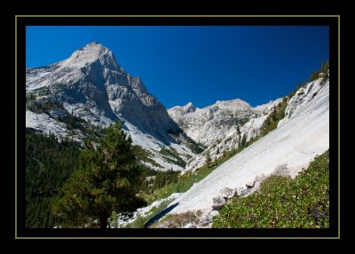
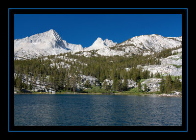 Pine Lake - 9,942' |
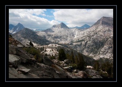
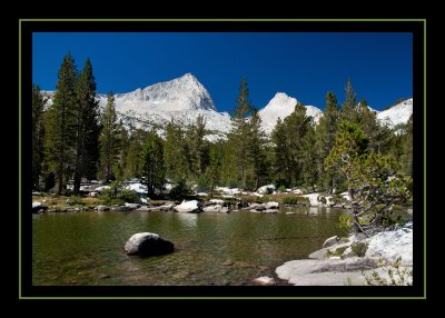 Upper Pine Lake |
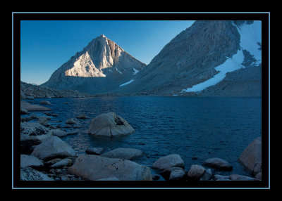
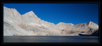
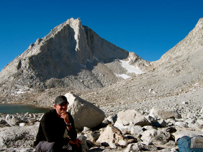
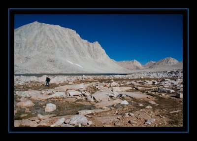
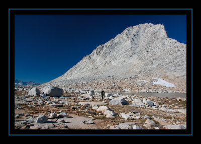
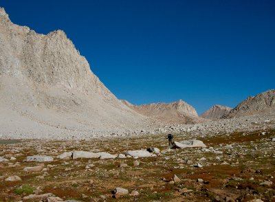
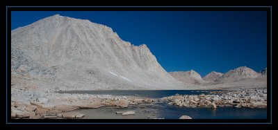
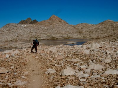
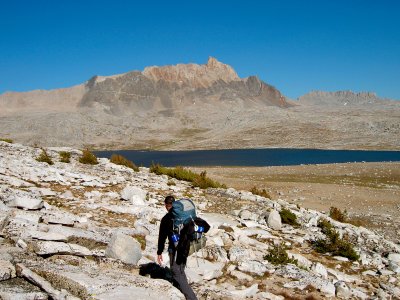
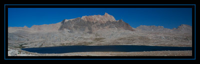
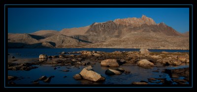
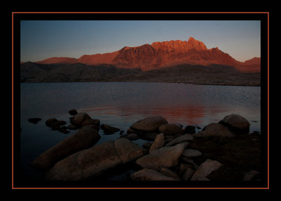
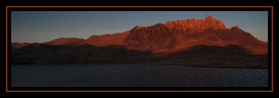
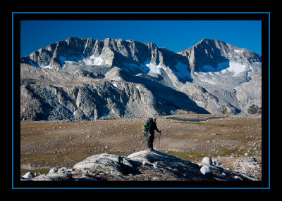
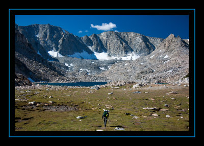
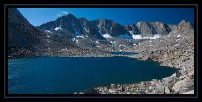
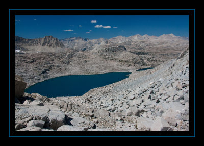
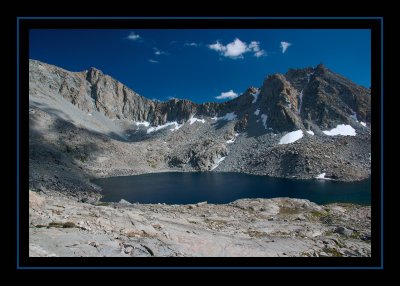
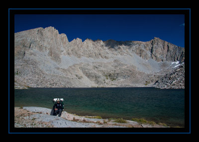
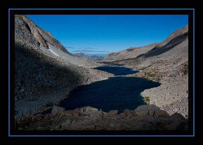
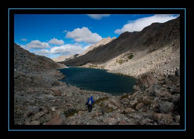
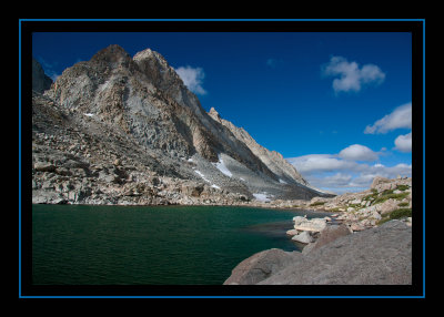
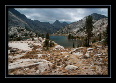
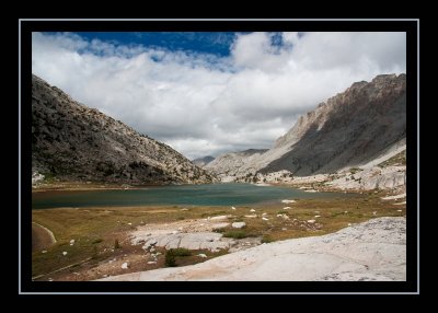
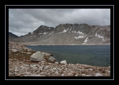
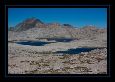
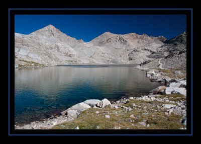
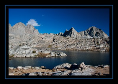
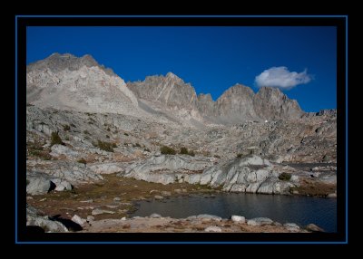
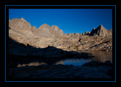
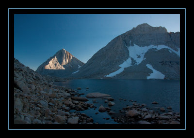 Royce Lake No. 2 - 11,725' |
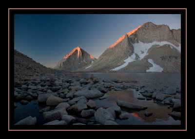
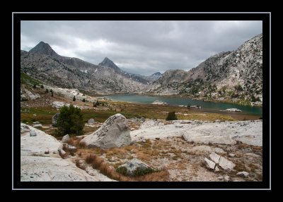
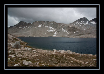
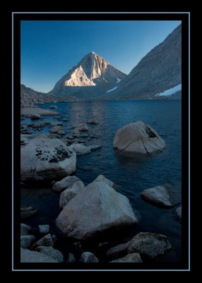 Royce Lake No. 2 - 11,725' |
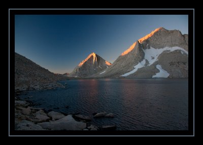
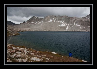
 Royce Lake No. 2 - 11,725' |
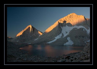
 Royce Lake No. 2 - 11,725' |
 Royce Lake No. 2 - 11,725' |
 Royce Lake No. 2 - 11,725' |
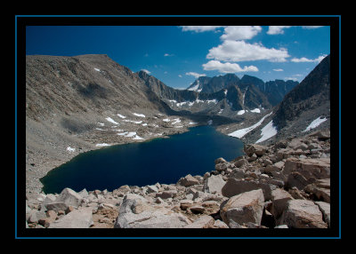
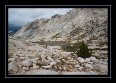
 Royce Lake No. 3 - Feather Peak |
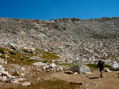
 Traversing Around Royce Lake No. 3 |
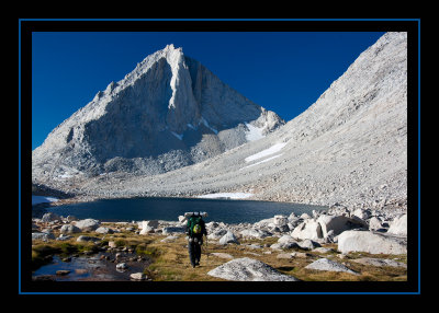
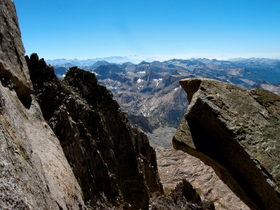
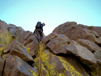
 Merriam Peak Ascent |
 Merriam Peak Ascent |
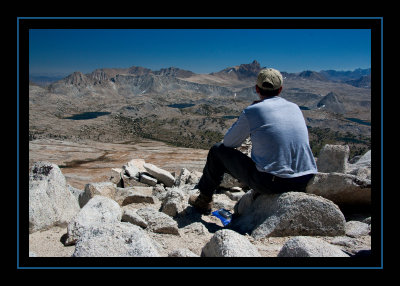
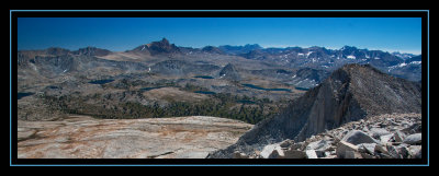
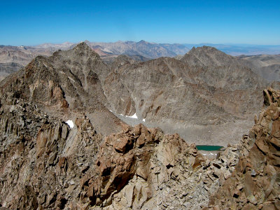
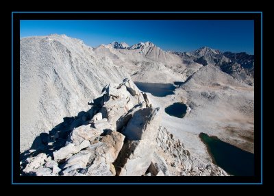 Merriam Peak Summit - 13,103' |
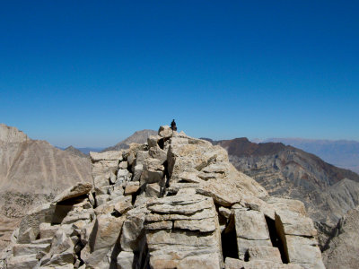
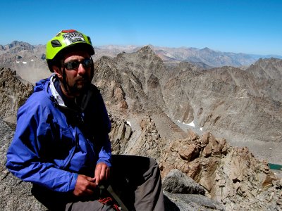
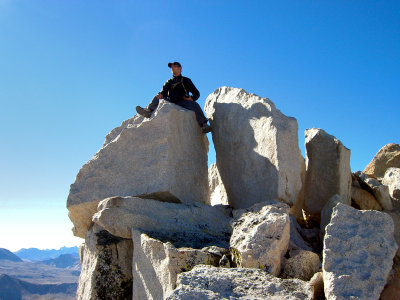 Steve on the Summit of Merriam Peak |
 Merriam Peak Summit - 13,103' |
 Unnamed Lake - 11,800' - East of Royce Merriam Saddle |
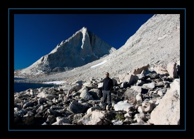
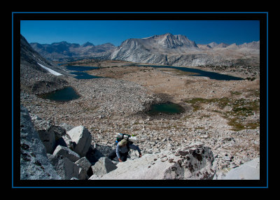
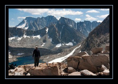
 Steve on Royce Peak |
 Royce Peak - 13,253' |
 Royce Peak - 13,253' |
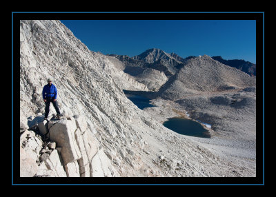
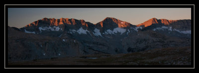
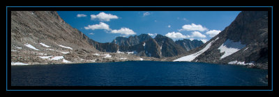
 Merriam Peak from Royce Lake No. 3 |
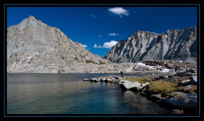
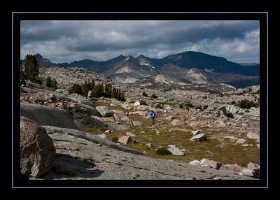
 Rest Break at Royce Lake |
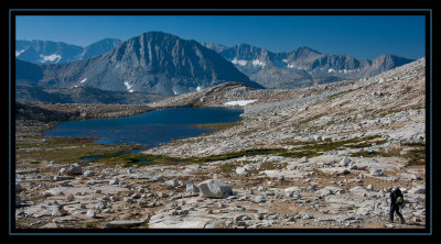
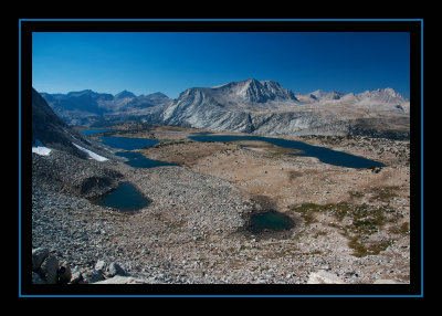
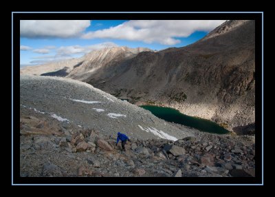
 Royce Peak from Royce Lake No. 4 |
 Merriam Peak from Royce Lake No. 4 |
 On the Move - Royce Lake No. 4 |
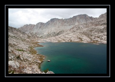
 Royce Lake No. 4 |
 Descending to Royce Lake No. 5 |
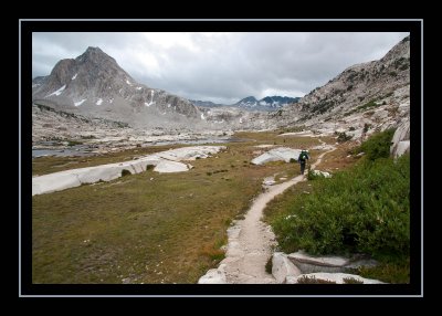
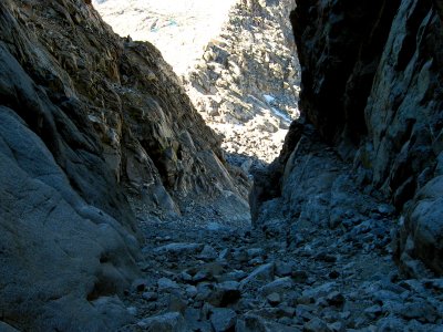
 French Canyon |
 French Canyon - Crossing the Trail |
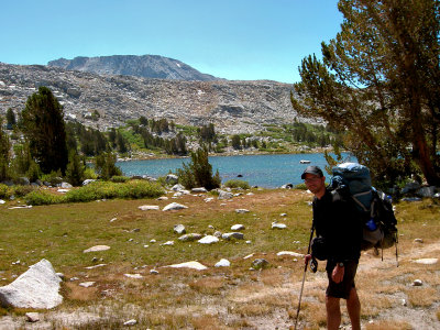
 Steve at Puppet Lake |
 Ascending Puppet Pass |
 Puppet Pass - Puppet Lake |
 Brad Ascending Puppet Pass |
 Approaching Desolation Lake |
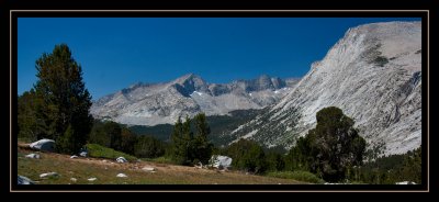
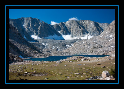
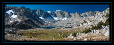
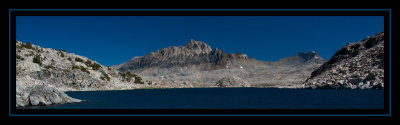
 Desolation Lake - 11,375' & Mt. Humphreys |
 Desolation Lake - 11,375' & Mt. Humphreys |
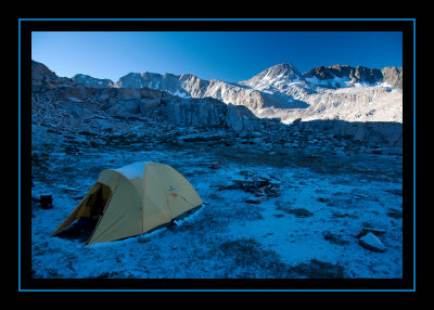
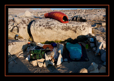 Bivy Site at Desolation Lake |
 Sunset - Desolation Lake |
 Sunset - Desolation Lake |
 Sunrise on Glacier Divide |
 Descending from Desolation Lake |
 Brad & Glacier Divide |
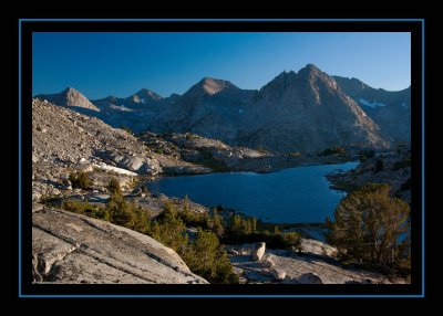
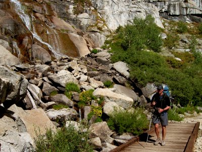
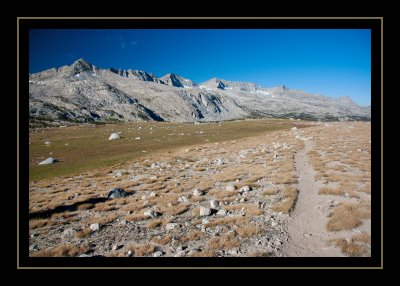 Piute Trail |
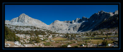
 Goethe Lake - 11,531' & Goethe Cirque |
 Goethe Lake - 11,531' & Goethe Cirque |
 Goethe Lake - 11,531' & Goethe Cirque |
 Goethe Lake - 11,531' |
 Mount Humphreys from Goethe Lake |
 Ascending to Alpine Col |
 Alpine Col - 12,320' - Looking North |
 Alpine Col - 12,320' - Looking South |
 Alpine Col - 12,320' |
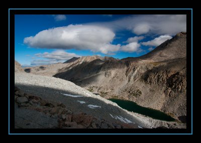
 Lake 11,910' - Looking South |
 Lake 11,546' |
 Lake 11,540' |
 Lake 11,540 - Mt. Mendel |
 Darwin Bench - Our Campsite |
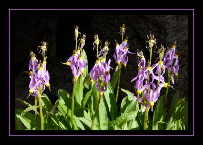 Flowers in Darwin Canyon |
 Darwin Canyon |
 Ascending to Darwin Glacier |
 Ascending to Darwin Glacier |
 Mount Darwin - 13,831' |
 Back Down Darwin Canyon |
 Lake 11,623' - Darwin Canyon |
 Darwin Bench |
 Darwin Bench |
 Evolution Valley from Darwin Bench |
 Evolution Lake - 10,852' |
 Evolution Lake - 10,852 |
 Evolution Lake - 10,852 - Western View |
 Evolution Valley |
 Mount Huxley - Evolution Valley |
 Sapphire Lake - 10,966' |
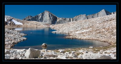
 Wanda Lake - 11,426' |
 Wanda Lake - 11,426' |
 Wanda Lake - 11,426' |
 Wanda Lake Campsite |
 Muir Pass - 11,955' - Evolution Basin |
 Helen Lake - 11,617' |
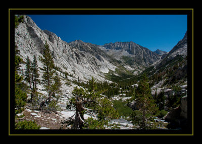 LeConte Canyon |
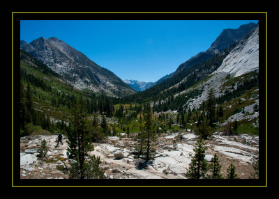 Litte Pete Meadow - 8,750' |
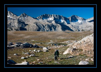
 Ascending to Dusy Basin |
 Steve Nearing Dusy Basin |
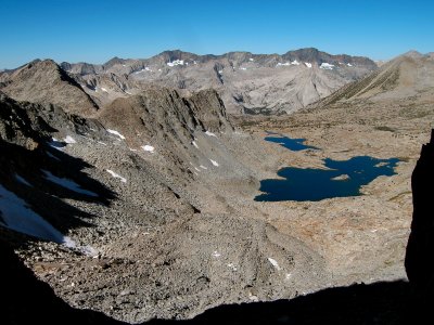
 Dusy Basin |
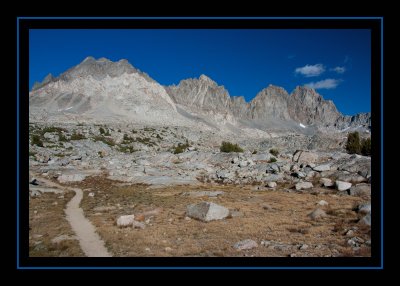 Dusy Basin Mountains |
 Our Campsite - Unnamed Lake |
 Our Campsite in Dusy Basin |
 Dusy Basin at Sunset |
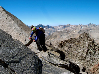
 Climbing Thunderbolt Peak |
 High Saddle Under Thunderbolt Peak |
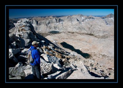
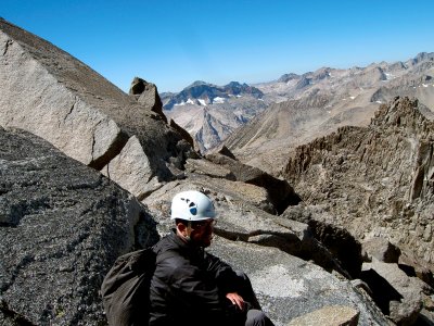
 Views from the Top - Thunderbolt Peak 14,003' |
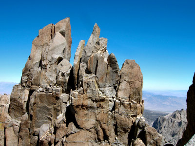
 Thunderbolt Peak - 14,003' |
 Thunderbolt Peak - 14,003' |
 Thunderbolt Peak - 14,003' |
 Thunderbolt Peak - 14,003' |
 Rappeling the Summit of Thunderbolt |
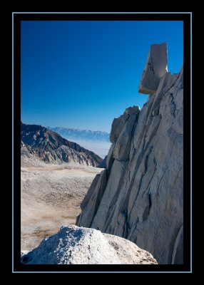
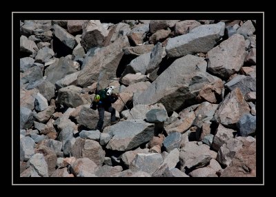
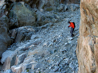
 Choss |
 Descending from Thunderbolt Peak |
| comment | share |