Peter Chan |
profile
|
all galleries
>>
Galleries
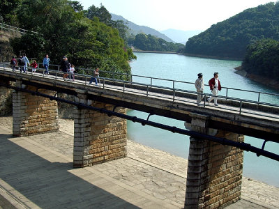
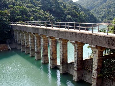
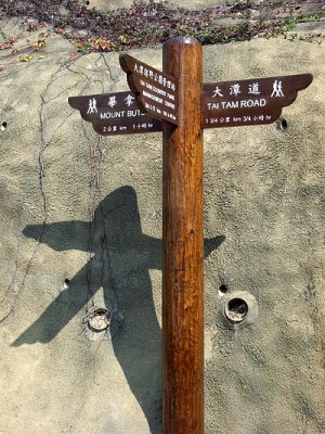
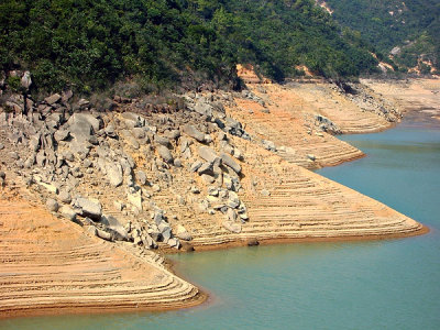
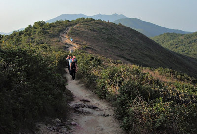
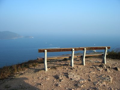
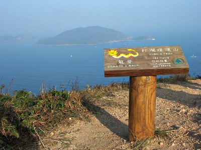
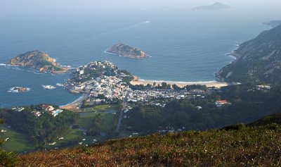
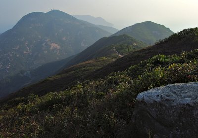
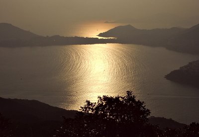
>> From Tai Tam to Dragon's Back (Ījžæ - ĀsŊá)
tree view
| thumbnails |
slideshow
From Tai Tam to Dragon's Back (Ījžæ - ĀsŊá)
comment
|
share
Type your message and click Add Comment
It is best to
login
or
register
first but you may post as a guest.
Enter an optional name and contact email address.
Name
Name
Email
help
private comment
click on thumbnails for full image