


|
|
|
|
|
|
| John Scurlock | profile | all galleries >> Galleries >> Mount Baker | tree view | thumbnails | slideshow | map |

Gallery Satellite View: LINK
_______________________________________________________________________________
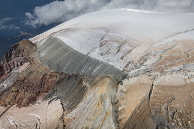
These aerial photographs of Mt. Baker are part of periodic imaging done in cooperation
with Dr. Kevin M. Scott, distinguished scientist at USGS/Cascades Volcano Observatory, Vancouver, WA.
It takes about ten minutes to be at Baker's summit; this proximity allows me to photograph it regularly, perhaps once or twice
monthly as conditions permit. Currently (January, 2010) the collection of Baker images contains
about 10,000 photographs. The photography is now being conducted with a Canon 5DMkII 21 MP digital SLR camera.
For more information, see also:
Glaciers Of Mt. Baker and Mt. Baker Volcano Research Center
_____________________________________________________________________________
THE IMAGES PRESENTED HERE HAVE BEEN DOWN-SIZED FROM THE ORIGINAL DIGITAL FILES.
Full-resolution 8x10, 11x14, and 13x19" color prints are available by request.
____________________________________________________________________________________________________
All Images Copyright 2003/2013, John Scurlock, Photographer & Pilot.
| previous page | pages 1 2 3 4 5 6 7 8 9 10 11 12 13 14 15 ALL | next page |
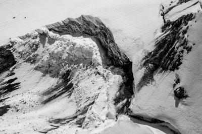 MtBaker_060816_082-3.jpg |
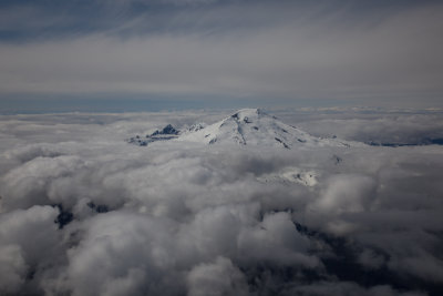 MtBaker030610-005.jpg |
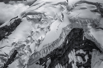
 MtBaker030610-007.jpg |
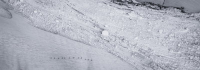
 Mount Baker's North Ridge (MtBaker_081517_048-1.jpg) |
 MtBaker_072218_1052.jpg |
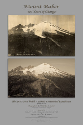 WelshLoomisPoster_092312v3_1.jpg |
 MtBaker_082821_183-15.JPG |
| previous page | pages 1 2 3 4 5 6 7 8 9 10 11 12 13 14 15 ALL | next page |