


|
|
|
|
|
|
| |
| 27-SEP-2012 | |
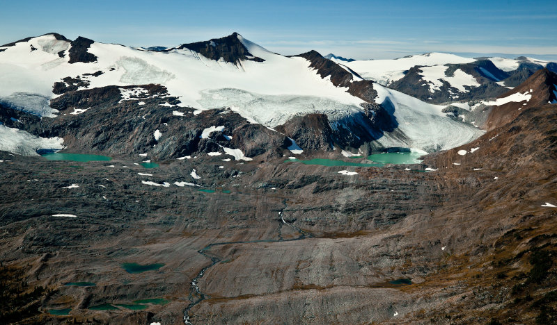
This image is from an area of unnamed peaks and glaciers lying on
an upland west of the Braithwaite Icefield, between Braithwaite Creek and the Azure River.
| Full EXIF Info | |
| Date/Time | |
| Make | |
| Model | |
| Flash Used | No |
| Focal Length | |
| Exposure Time | |
| Aperture | |
| ISO Equivalent | |
| Exposure Bias | |
| White Balance | |
| Metering Mode | |
| JPEG Quality | |
| Exposure Program | |
| Focus Distance | |
Copyright 2002-2025, John H. Scurlock, Photographer/Pilot