


|
|
|
|
|
|
| John Scurlock | profile | all galleries >> The Central & North Central Cascades >> Clark Mt and the DaKobed /Ten Peak Ranges | tree view | thumbnails | slideshow | map |
THE IMAGES PRESENTED HERE HAVE BEEN DOWN-SIZED FROM THE ORIGINAL DIGITAL FILES.
Full-resolution color prints are available by request.
___________________________________________________________________________________________
All Images Copyright 2004/2006, John Scurlock, Photographer & Pilot.
| previous page | pages 1 2 ALL | next page |
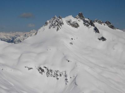
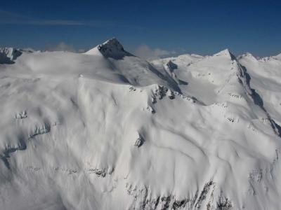
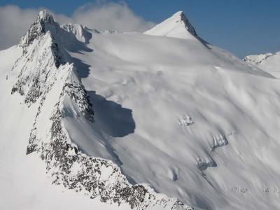
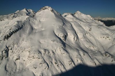
 Clark, View SW (Clark120705-06adj.jpg) |
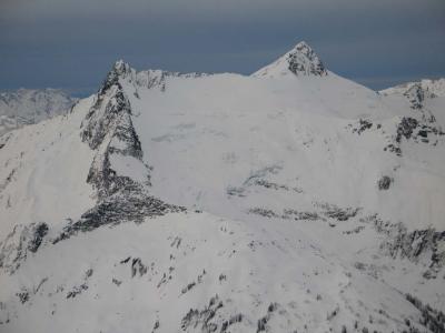
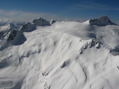
 Kololo Pks & White River Glacier (DakobedTenPks031206-003adj.jpg) |
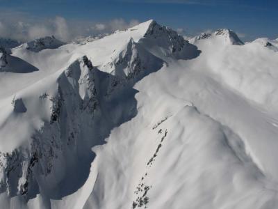
 TenPeak Mt, View NE (DakobedTenPks031206-005adj.jpg) |
 TenPeak Mt, View NE (DakobedTenPks031206-009adj.jpg) |
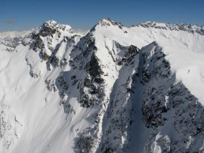
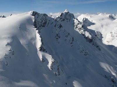
 TenPeak Mt, S Face (DakobedTenPks031206-013adj.jpg) |
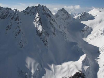
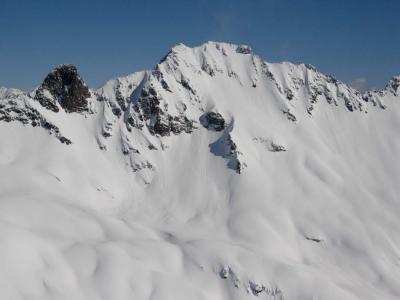 Chalangin Pk S Face (DakobedTenPks031206-016adj.jpg) |
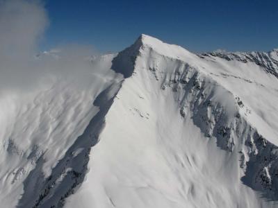 Clark Mt S Face (DakobedTenPks031206-018adj.jpg) |
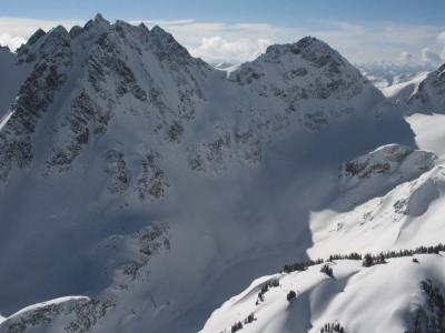
 Clark Mt & Walrus Glacier, View W (DakobedTenPks031206-028adj.jpg) |
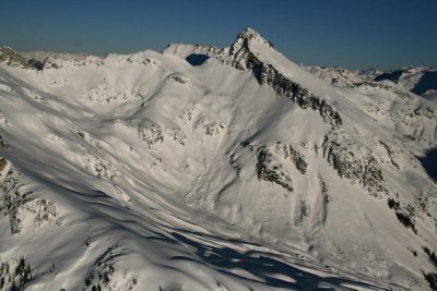
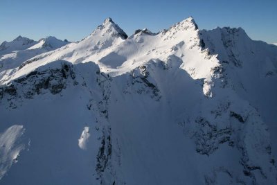
 Clark Mt (L) & Luahna Pk (R), View S (DakobedTenPks031206-036adj.jpg) |
 Walrus Glacier & Clark Mt (R) (DakobedTenPks031206-040adj.jpg) |
 Luahna Pk, View S (DakobedTenPks031206-046adj.jpg) |
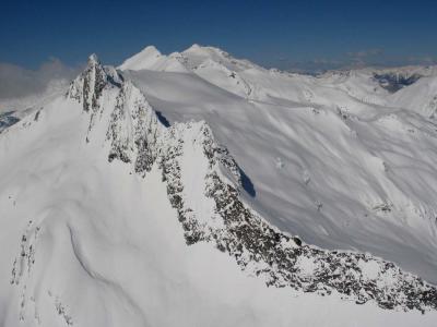
 TenPeak Mt, View SW (DakobedTenPks031206-053adj.jpg) |
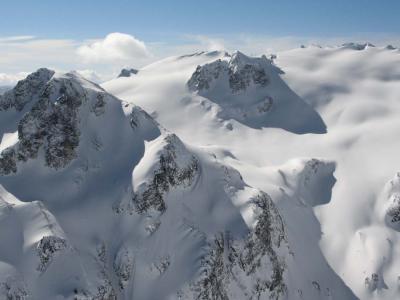
 TenPeak Mt, N Face (DakobedTenPks031206-059adj.jpg) |
 TenPeak Mt, N Face (DakobedTenPks031206-068adj.jpg) |
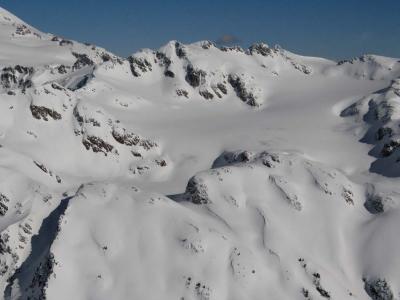
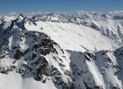
 Honeycomb Glacier, View SE (DakobedTenPks031206-091adj.jpg) |
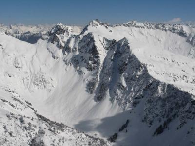
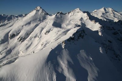
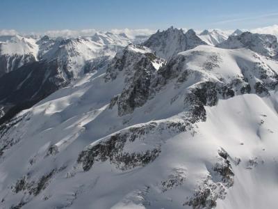 Kopeetah Divide, View East (DakobedTenPks031206-095adj.jpg) |
 Walrus Glacier & Clark Mt (DakobedTenPks031206-122adj.jpg) |
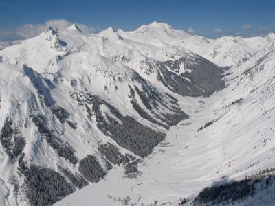 DaKobed Range & Napeequa River (DakobedTenPks031206-126adj.jpg) |
 Ten Peak Mt, View E (DakobedTenPks031206-098crop.jpg) |
 Napeequa Pk, S Face (Napeequa120807-_01.jpg) |
 L to R: Glacier Pk (Background), Napeequa, Pt 7529 (Napeequa120807-_10.jpg) |
 L to R: Napeequa, Pt 7529, Glacier Peak (Napeequa120807-_12.jpg) |
 L to R: Napeequa, Pt 7529, Cirque Mt (Napeequa120807-_32.jpg) |
 Clark Mt (R), Clark's SE Pk (L) & Clark Glacier (DaKobed120807-_34.jpg) |
| previous page | pages 1 2 ALL | next page |