


|
|
|
|
|
|
| Nikola Gruev | profile | all galleries >> Bulgaria >> Bulgarian roads and road maps >> National road #5 or International E85 (Russe - Kurdjali) | tree view | thumbnails | slideshow |
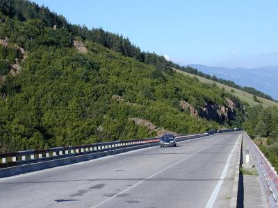 sP6271513.JPG |
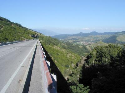 sP6271516.JPG |
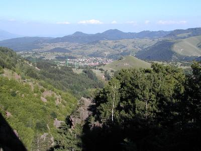 sP6271517.JPG |
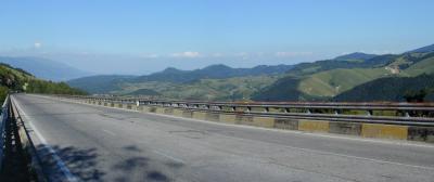 sP6271521a.JPG |
| comment | share |