


|
|
|
|
|
|
| Mike Crowle | profile | all galleries >> Landscape & Travel >> Everest Base Camp trek, Nepal, March 2008 | tree view | thumbnails | slideshow | map |
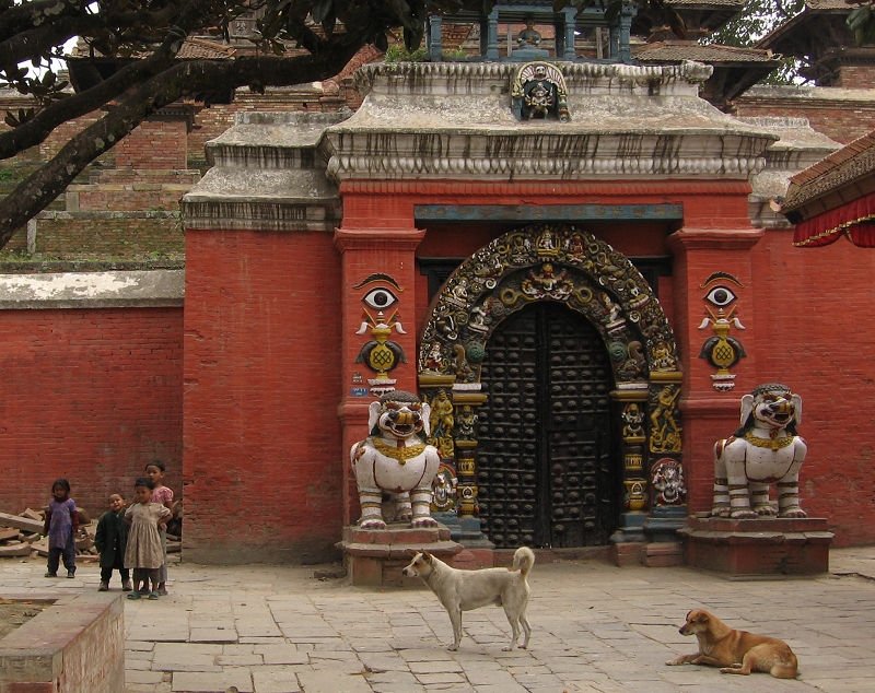 Kathmandu - Taleju Temple gate, Durbar Square |
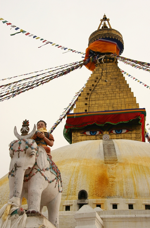 Kathmandu - Bodhnath Stupa |
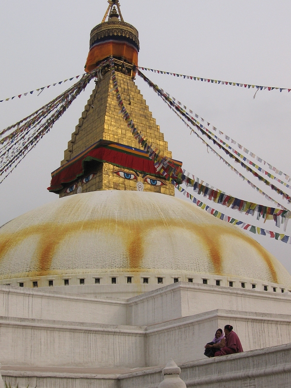 Kathmandu - Bodhnath Stupa |
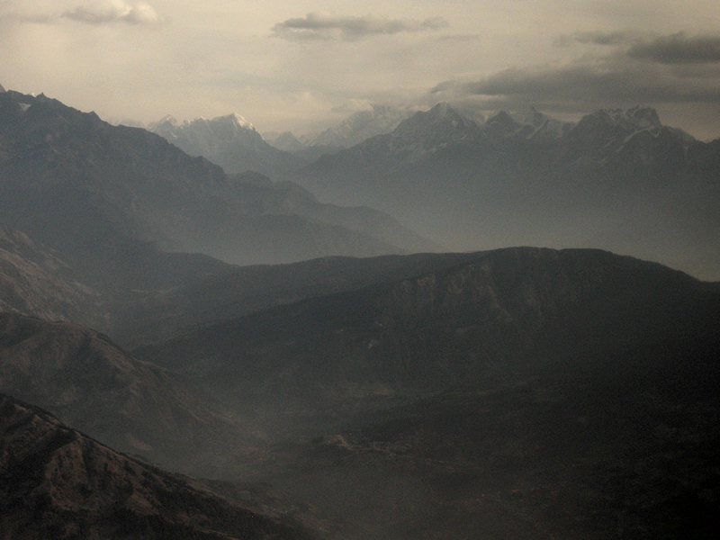 Himalaya, seen from the flight to Lukla |
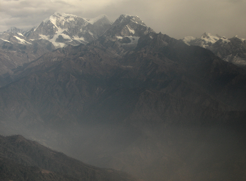 Himalaya, seen from the flight to Lukla |
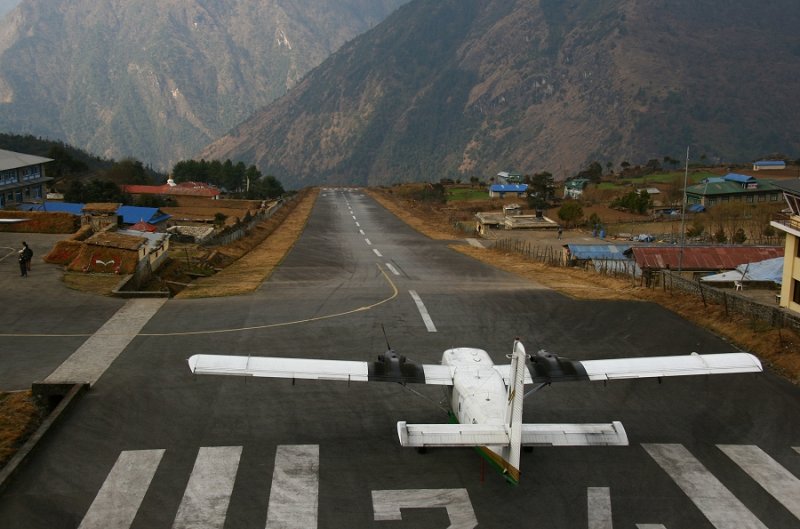 Our Twin Otter at Lukla |
 Lukla |
 Outside Lukla |
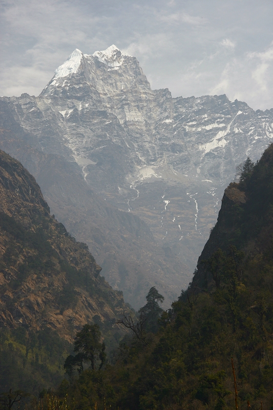 Kusum Kangguru (6367m, 20,889ft), from Tharo Kosi |
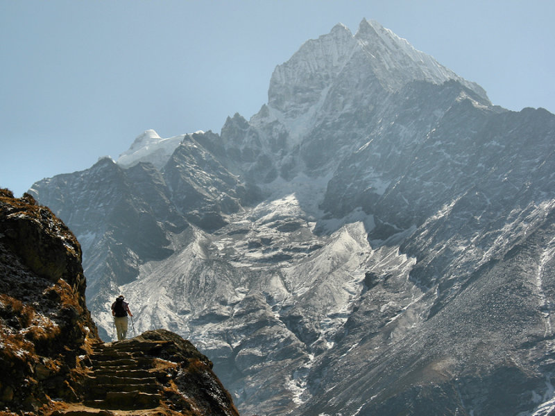
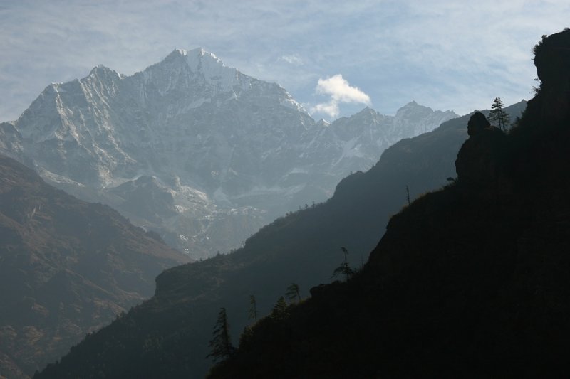 Thamserku (6,608 m, 21,680 ft) |
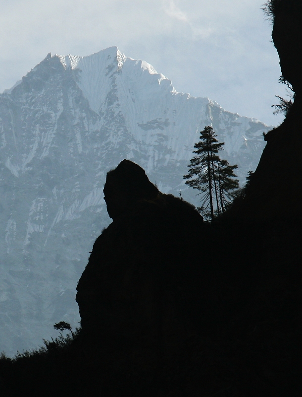 'Laughing Buddha' rock |
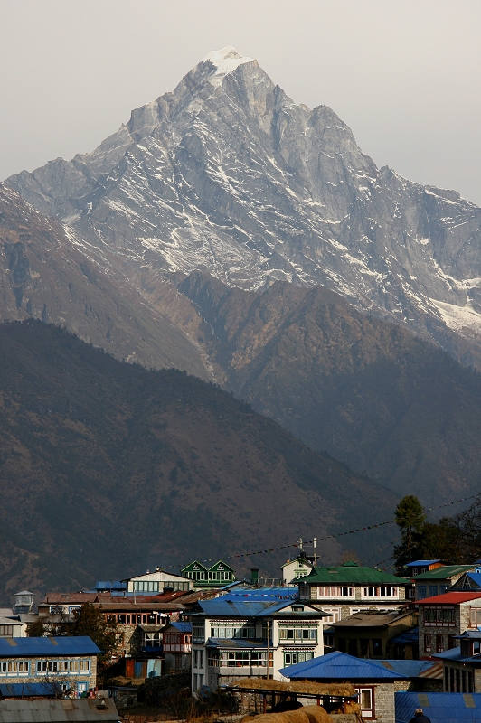
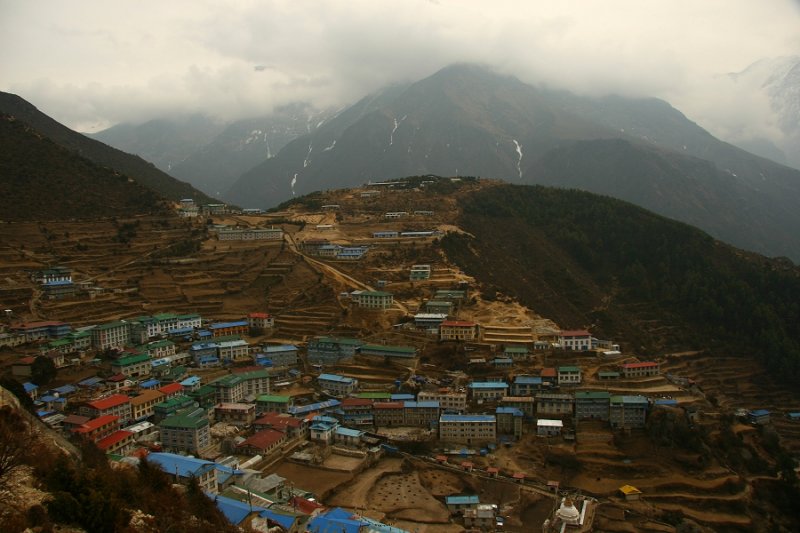 Namche Bazaar (3446m, 11,306ft) |
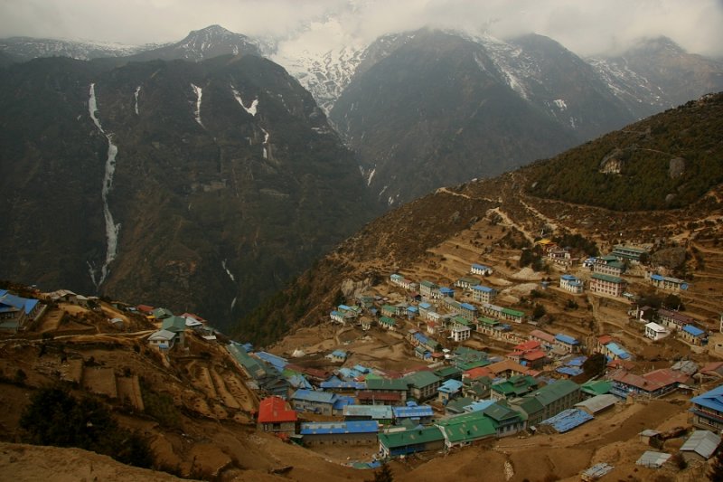 Namche Bazaar (3446m, 11,306ft) |
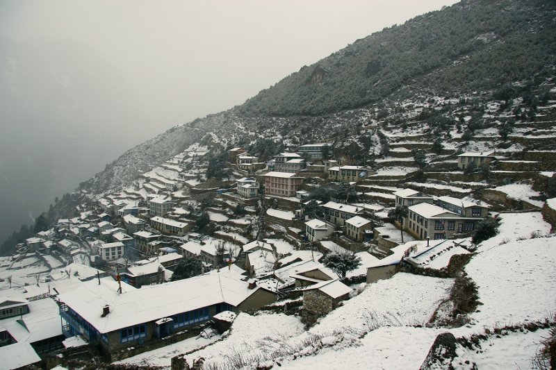 A snowy Namche morning |
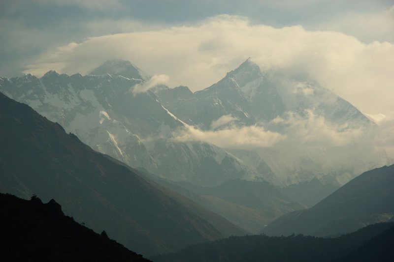 First view of Everest (skyline left) |
 Morning light above Namche |
 En route to Kyangjuma, Kangtega rising in the background |
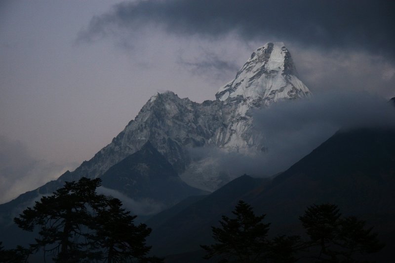
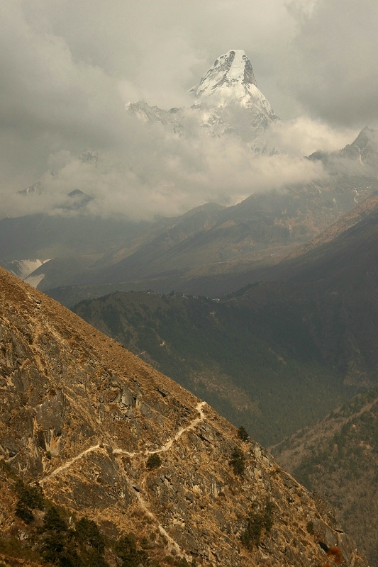 Ama Dablam (6856m, 22,493ft) towers above the trekking path |
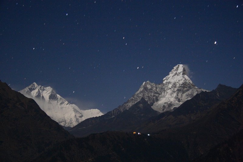
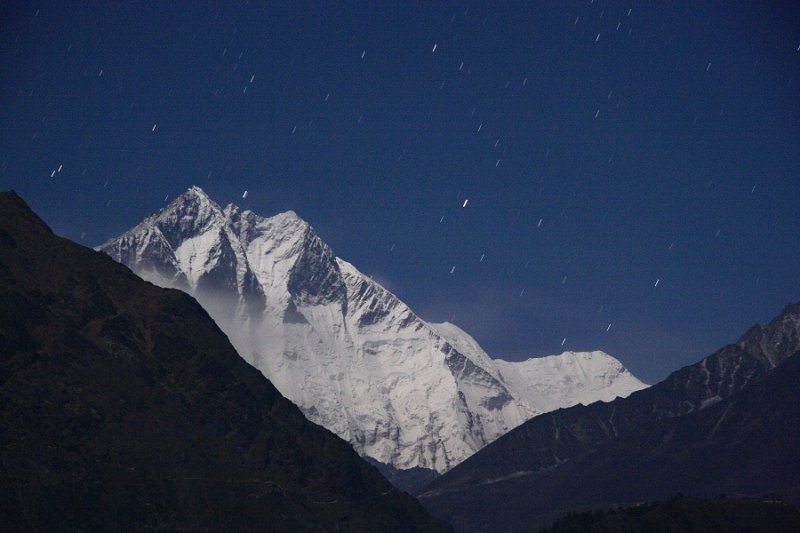 Lhotse by moonlight, with star trails |
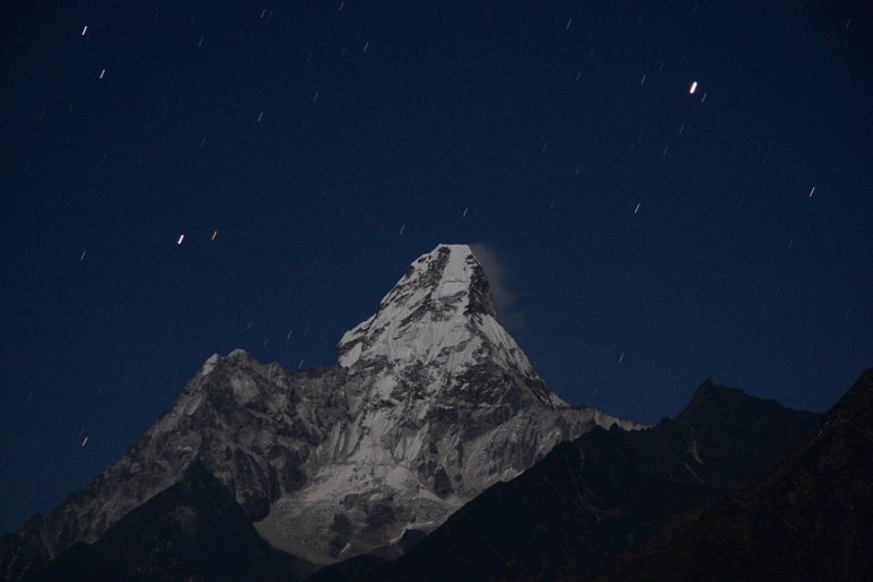 Ama Dablam at night |
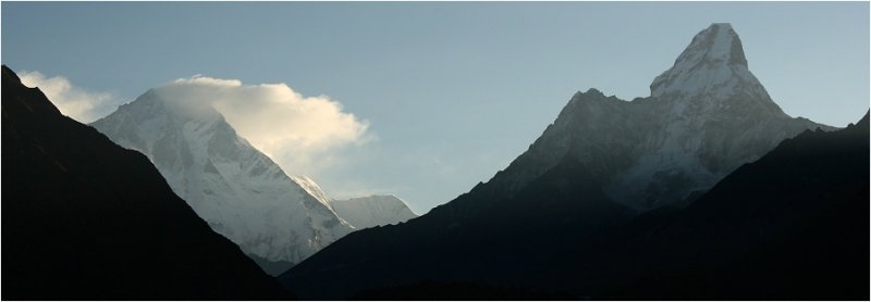
 Lhotse and Ama Dablam by moonlight |
 Morning view of Lhotse and Ama Dablam |
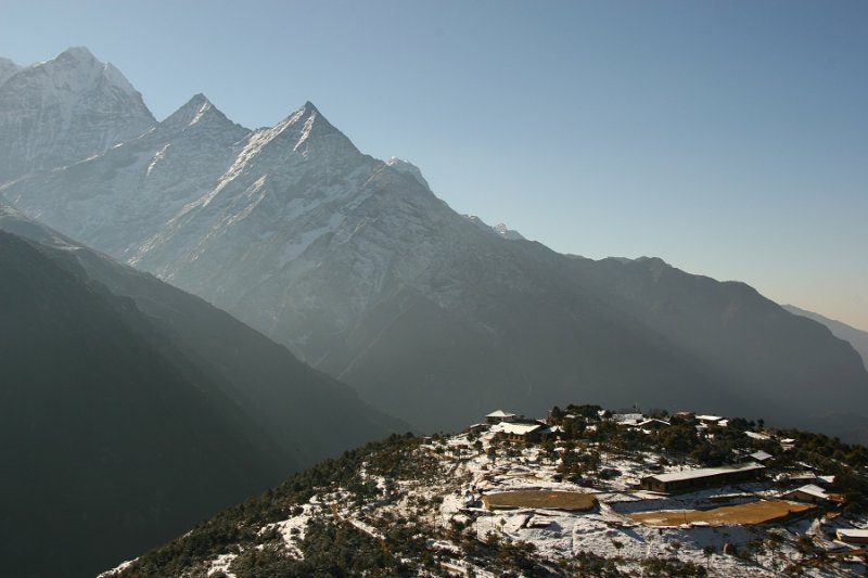
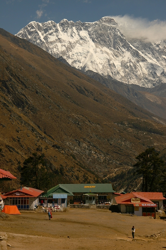 Tengboche |
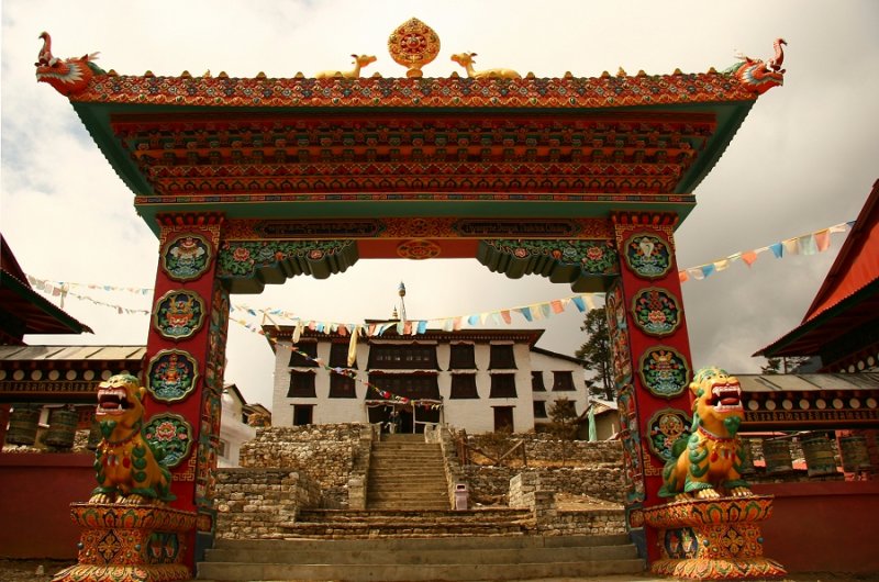 Gateway to Tengboche monastery |
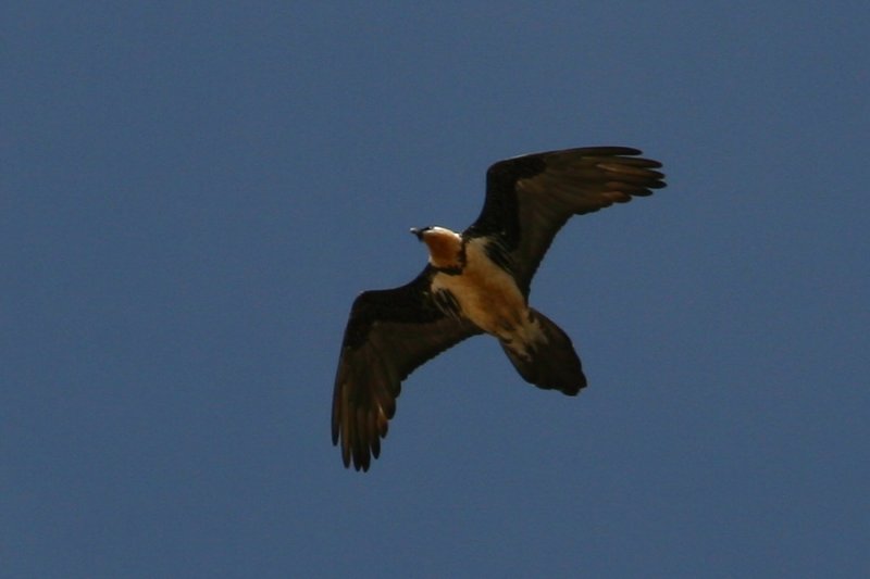 Lammergeier |
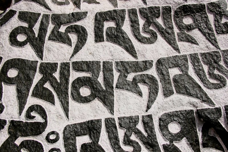 Inscription on a Mani stone |
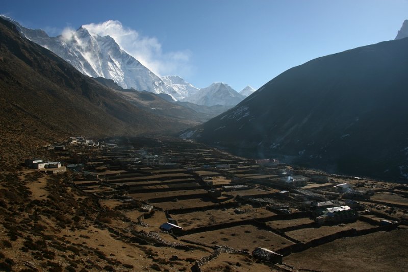
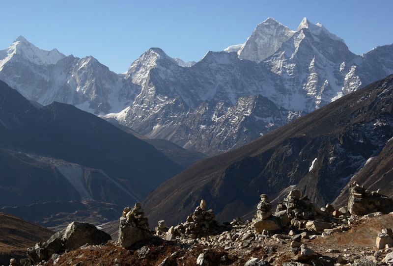
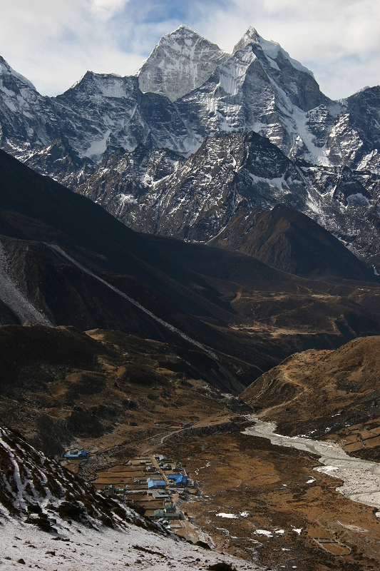 Village of Periche, with Kangtega rising behind |
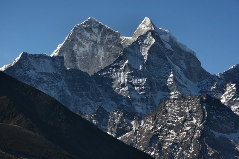
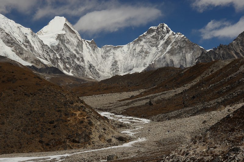
 Lhotse (8501m, 27,890ft) from Dingboche |
 Dingboche and Lhotse |
 Kangtega, from the route up Nangkartshang |
 Climbing 5100m (16,732ft) Nangkartshang, from Dingboche |
 Climbing Nangkartshang |
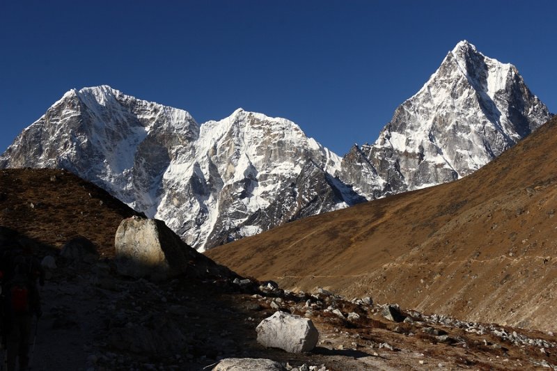
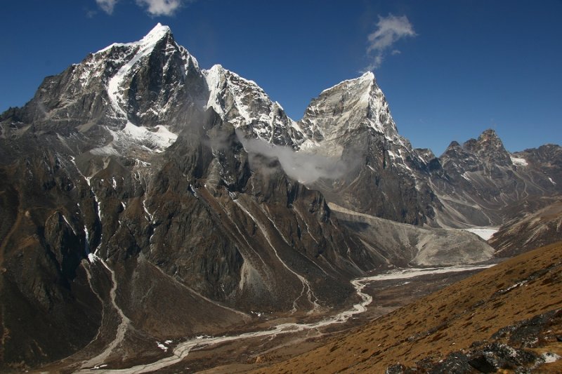 Taboche & Cholatse, from Nangkartshang |
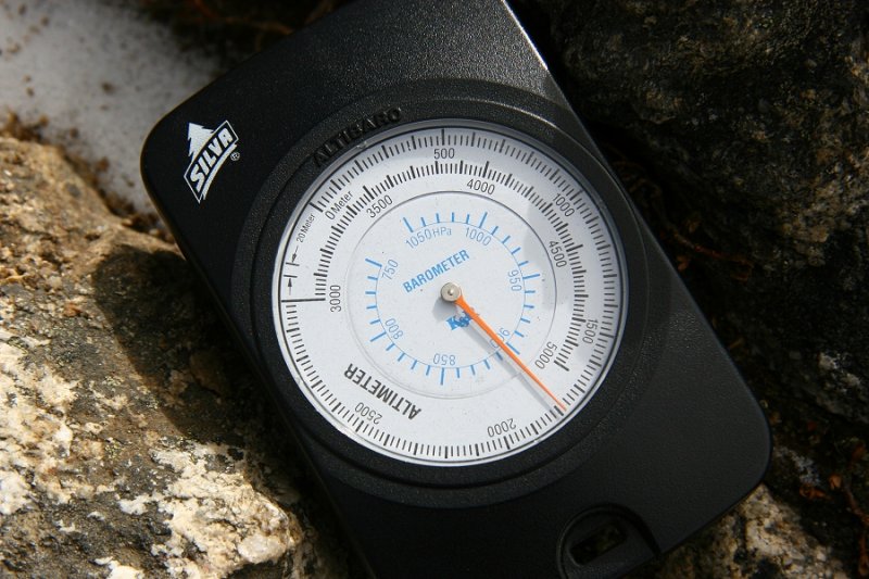 Altimeter off the scale! Top of Nangkartshang (5100m) |
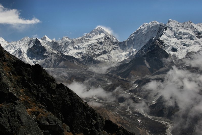 Makalu (centre, background), from Nangkartshang |
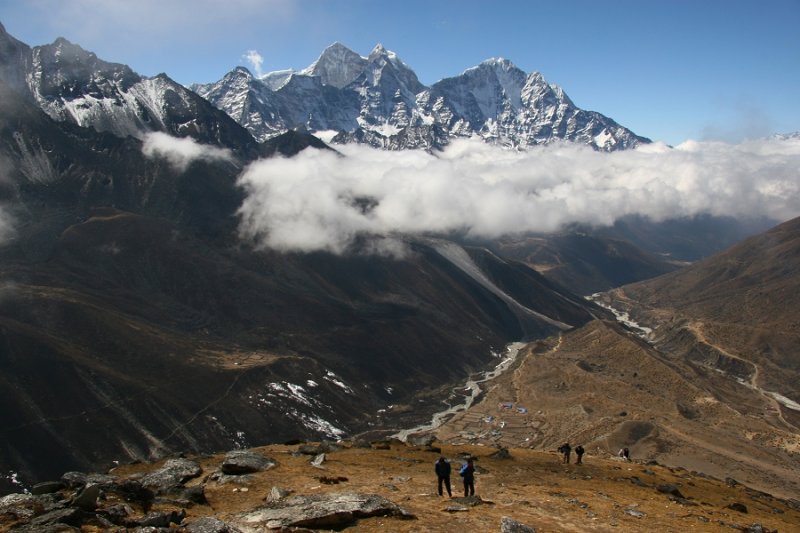
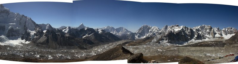
 Big landscape |
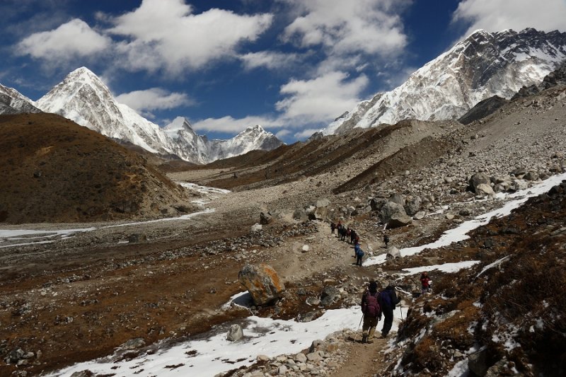
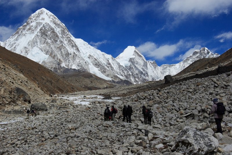 The trail to Lobuje |
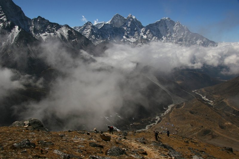
 Figures in the landscape |
 The Memorial Chortens above Duglha |
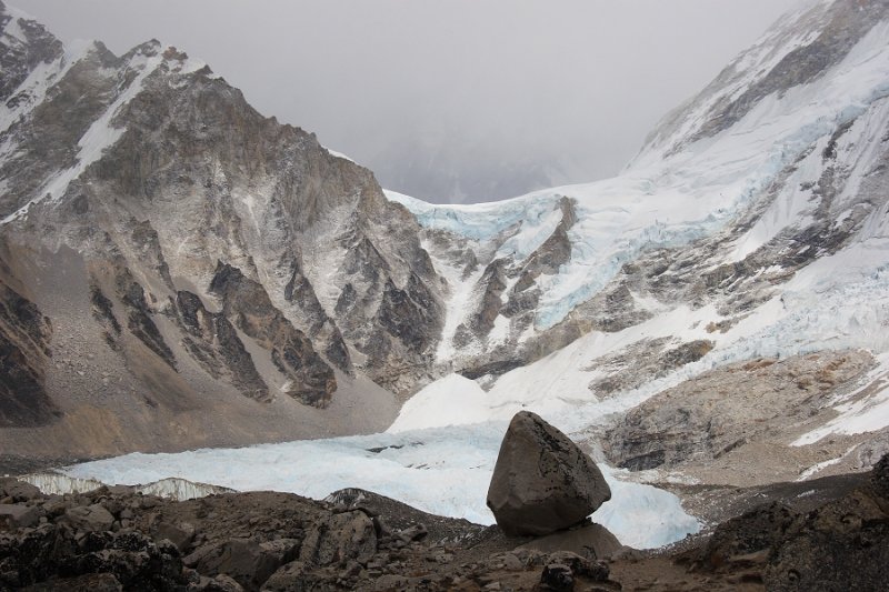
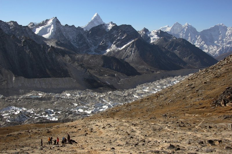
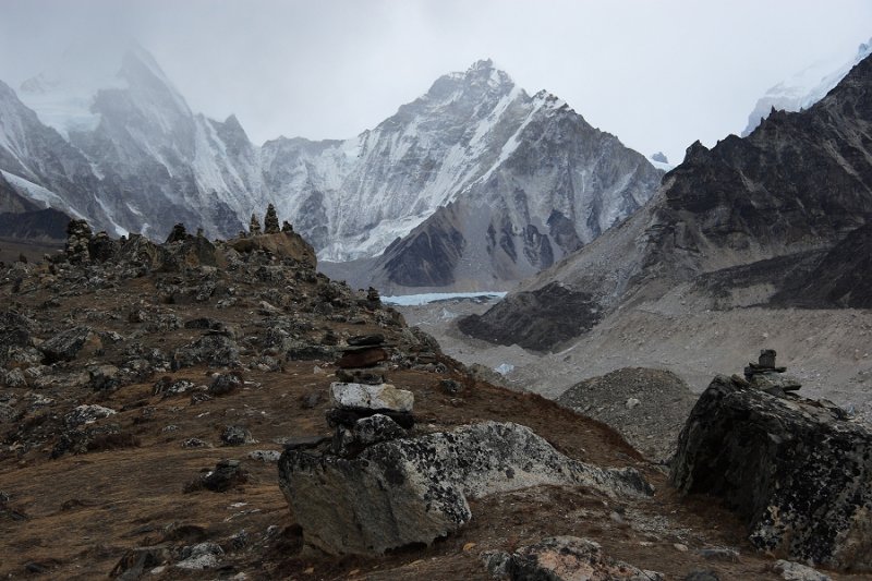 The Khumbu glacier, near Lobuje |
 Kangtega and Thamserku from Lobuje |
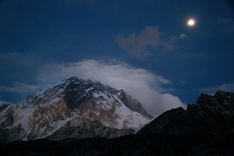 Nuptse and moon, from Lobuje |
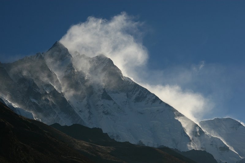
 Delicate morning cloud over Nuptse |
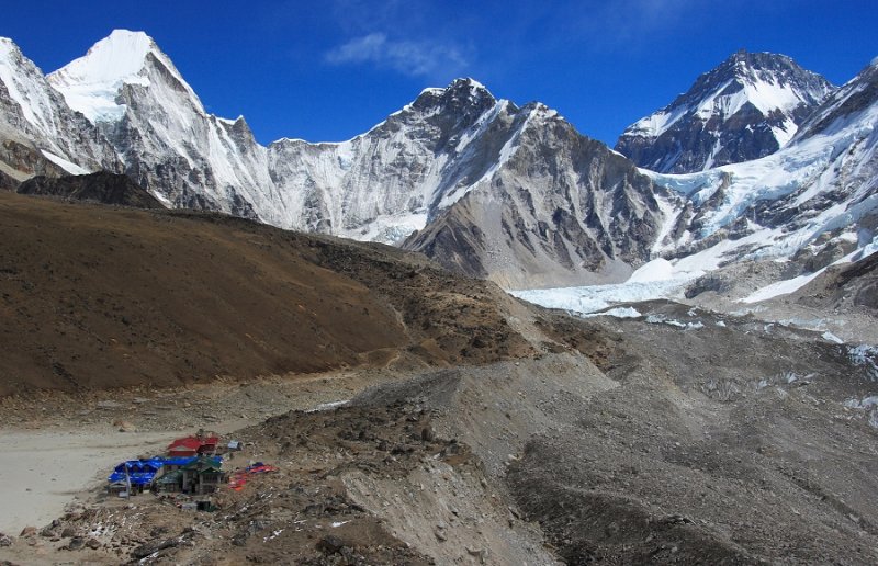 The lodges at Gorak Shep (5184m, 17,008ft) |
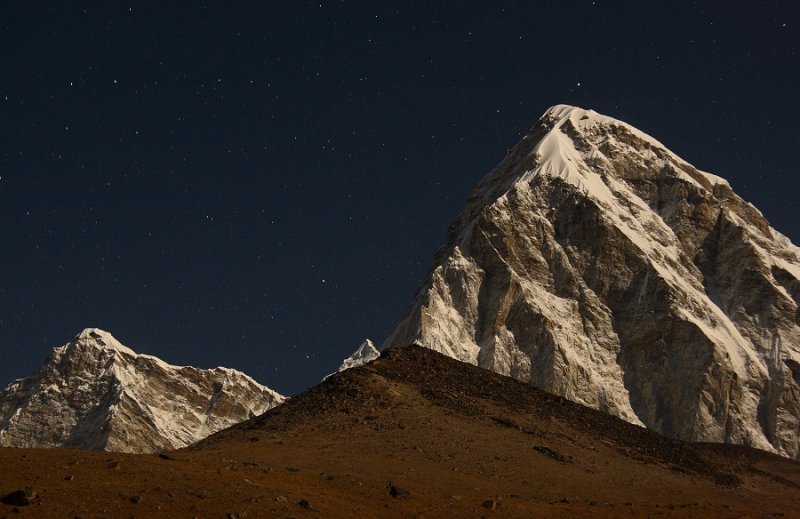 Moonlit Pumori (7,161m, 23,494ft) |
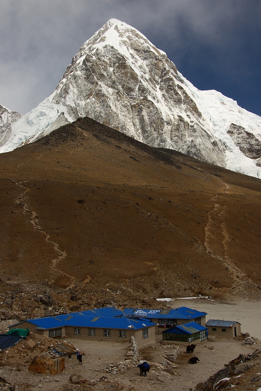 Pumori above Gorak Shep (5184m, 17,008ft), with Kala Patthar in mid distance |
 Perched rock and Lho La Pass |
 Nuptse before sunset, from Gorak Shep |
 Nuptse at sunset, from Gorak Shep |
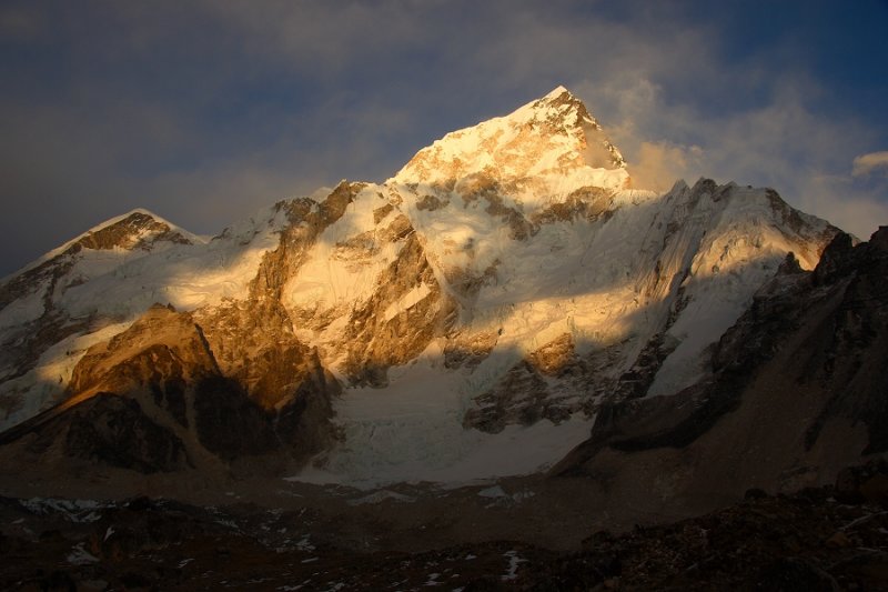
 Sun rising behind Nuptse (7861m, 25,791ft) |
 A rest while climbing Kala Patthar, 5623m (18448ft) |
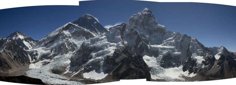 Everest from Kala Patthar (5623m, 18,448ft) |
 Kala Patthar - a view further down the glacier |
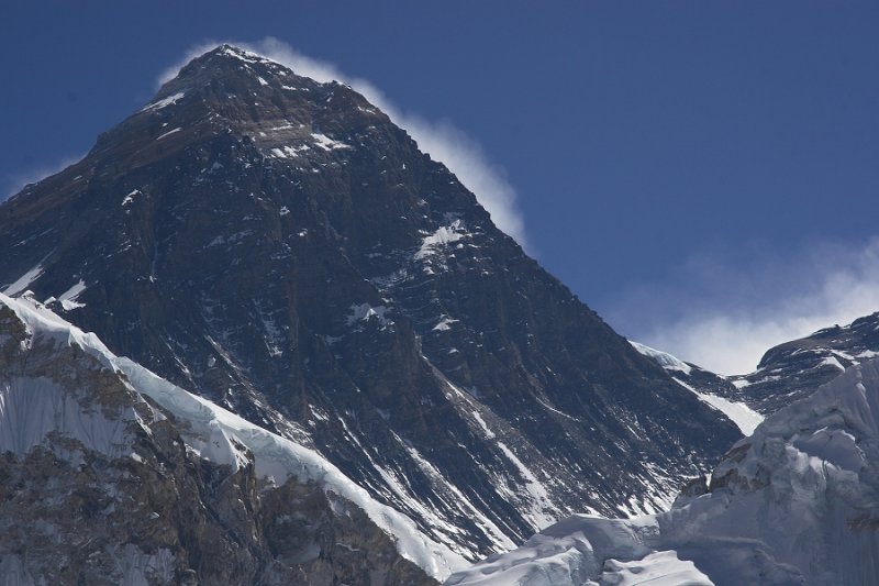 Everest from 5623m (18,448ft) Kala Patthar |
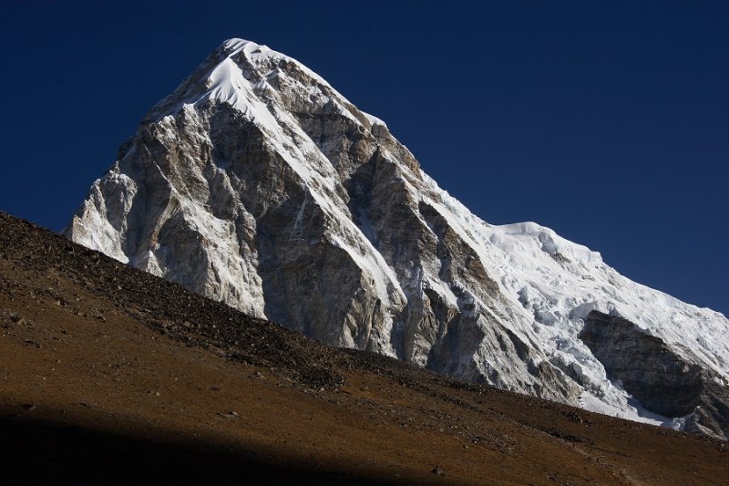 Pumori |
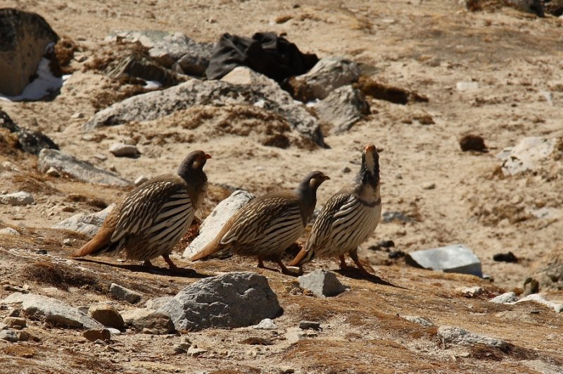 Tibetan Snow Cocks |
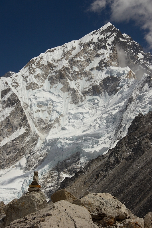 Nuptse and cairn |
 Just outside Lobuje |
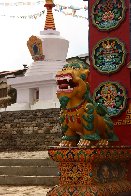 Lion and stupa, Tengboche |
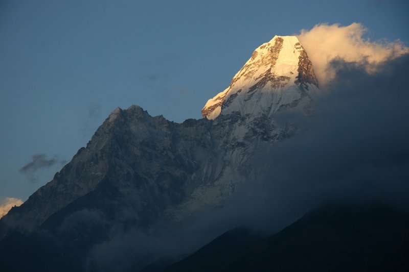 Evening light on Ama Dablam |
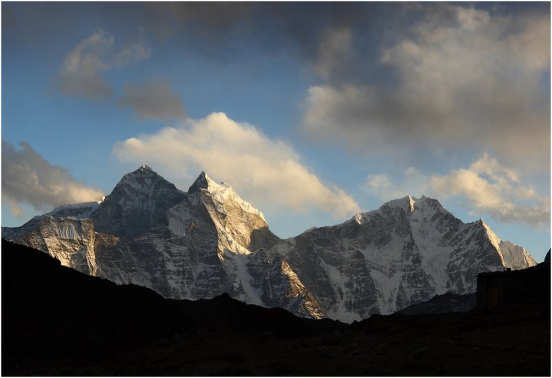
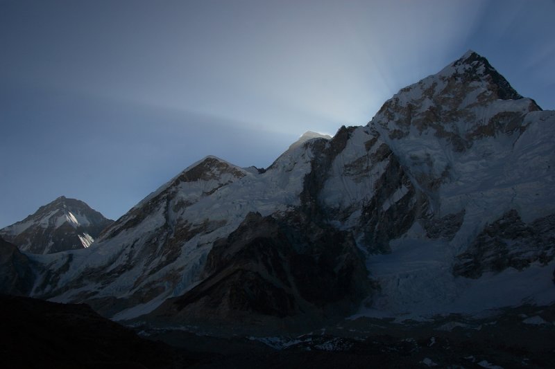
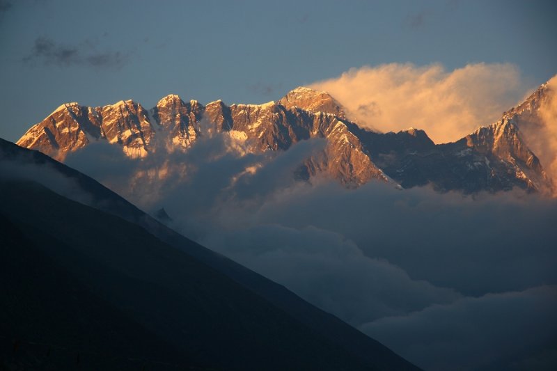 Lhotse wall and Everest, Tengboche evening |
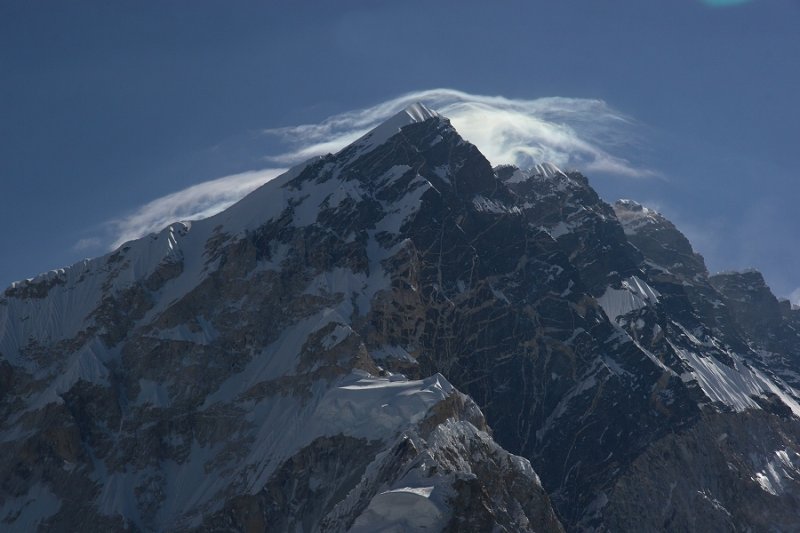
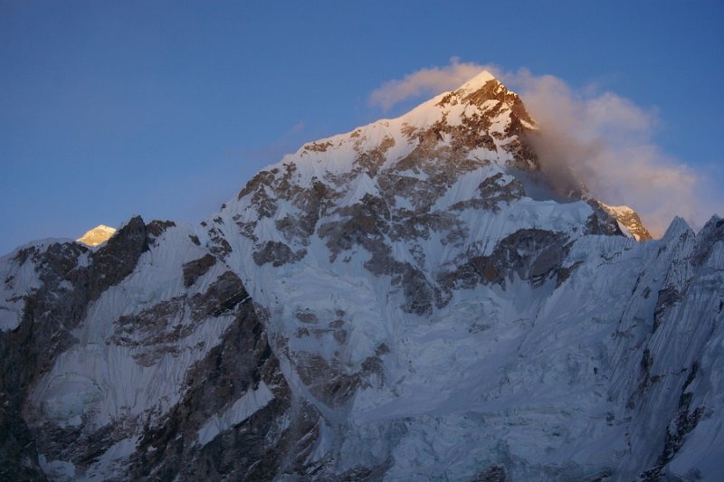
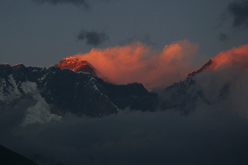 Last light on Everest |
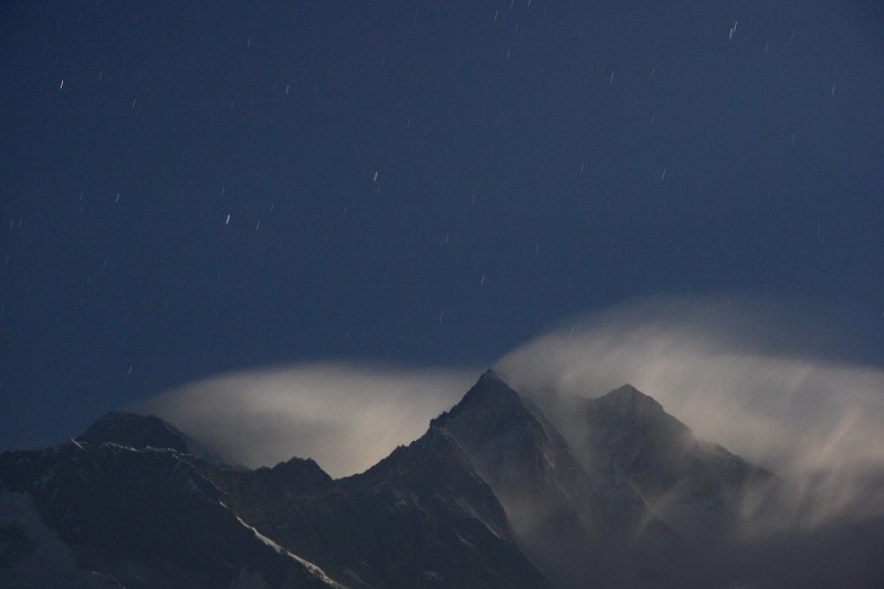 Everest, Lhotse and star trails |
 Ama Dablam after sunset |
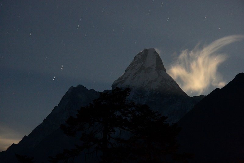 Ama Dablam, moonlit cloud, moonbeams & star trails |
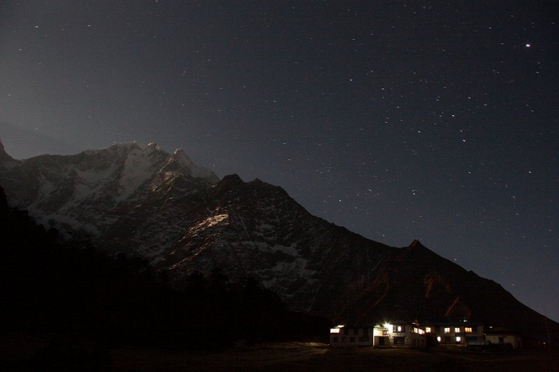 Moonlit Thamserku & buildings at Tengboche |
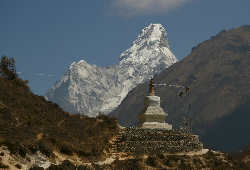 Stupa and Ama Dablam |
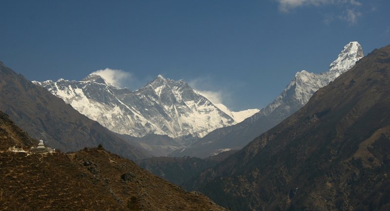 Lhotse and Ama Dablam |
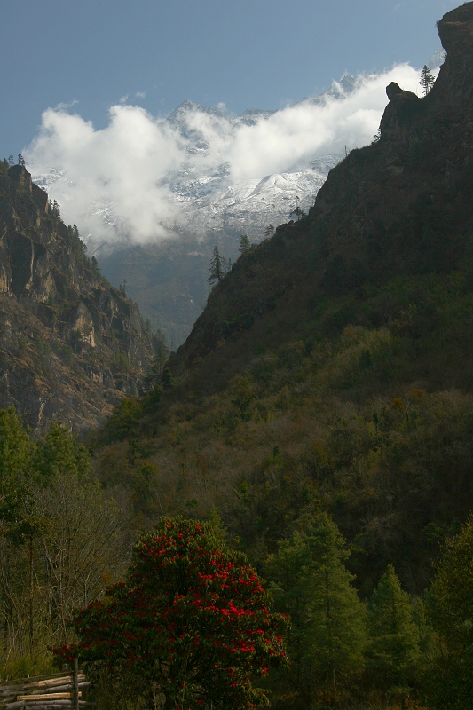 Rhododendron, 'Laughing Bhudda' and Thamserku |
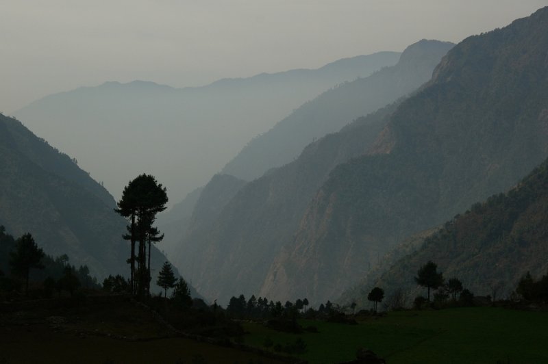
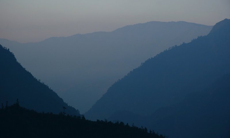 Back at Lukla - misty valley |
| comment | share |
| Rick Bricker | 21-Sep-2008 16:45 | |
| aurore_gilles | 14-Sep-2008 18:22 | |
| Barry Ailetcher | 06-Jun-2008 04:36 | |
| Guest | 03-Apr-2008 20:45 | |
| Herve Blandin | 29-Mar-2008 16:27 | |
| Monique Trempe | 28-Mar-2008 01:22 | |
| Don Marlow | 28-Mar-2008 01:18 | |