


|
|
|
|
|
|
| Martin Drahomirecky | profile | all galleries >> Galleries >> Peru and Bolivia 2009 | tree view | thumbnails | slideshow | map |
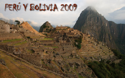 Perº y Bolivia 2009 |
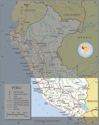 Map 1 |
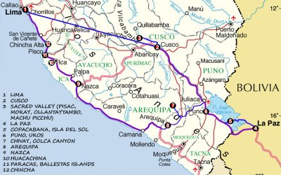 Map 2 |
 Arriving Peru |
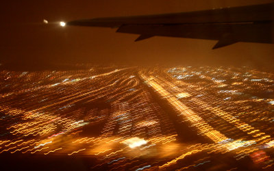
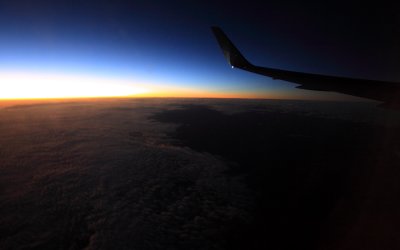 Sunrise over Amazonia |
 At Lima Airport, departing for Cuzco |
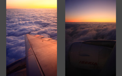
 Inflight, Lima - Cuzco |
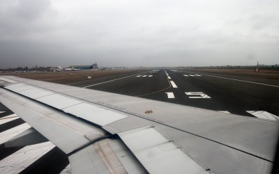
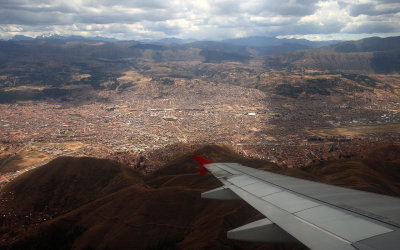 Arriving Cuzco |
 At Cuzco airport (alt. 3300m) |
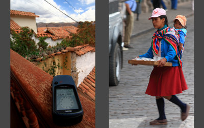 Hostal @ alt. 3469m | Peruanian woman |
 Peruanian woman with child |
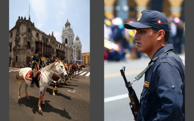
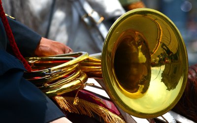
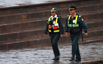 Police is present everywhere |
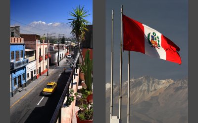
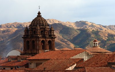 Cuzco |
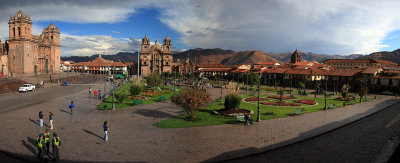 Cuzco - Plaza de Armas |
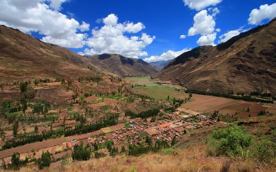 Sacred Valley of the Incas |
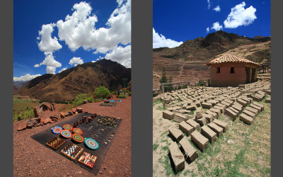 Parking near Pisac | Drying of bricks |
 Pisac, connecting point between highlands and jungle |
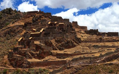 Pisac Ruins |
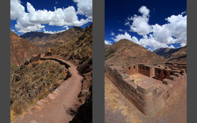 Pisac Ruins |
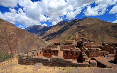 Pisac Ruins |
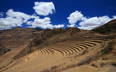
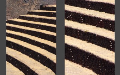 Pisac - steps between terraces |
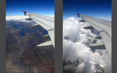
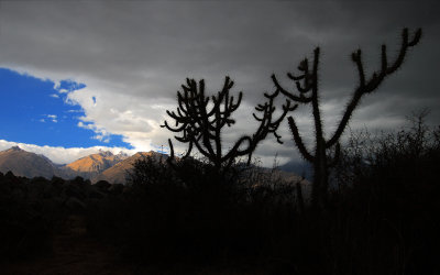
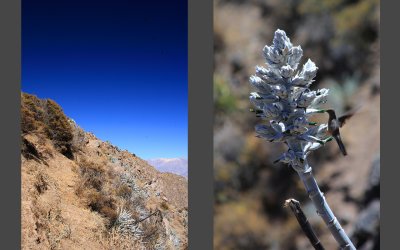
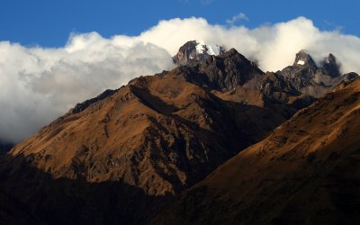 Andes |
 Weather changes over Moray |
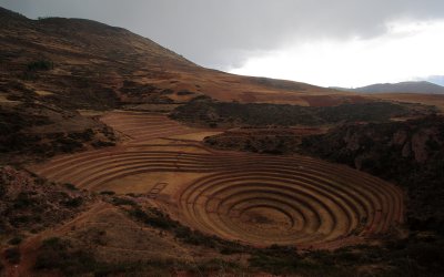 Moray, agricultural laboratory of the Incas, alt. 3500m |
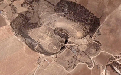 Moray from satellite (Google Earth) |
 Ollantaytambo and Urubamba river valley in the backround |
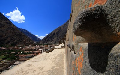
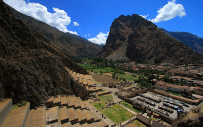 Impressive Ollantaytambo and Patakancha river valley |
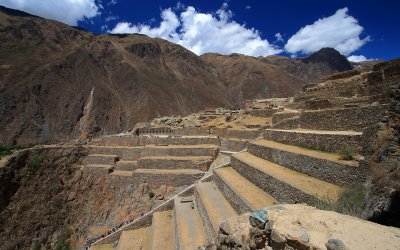 The Temple Hill, Ollantaytambo |
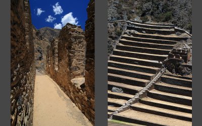 Storehouses | Terraces in Ollantaytambo |
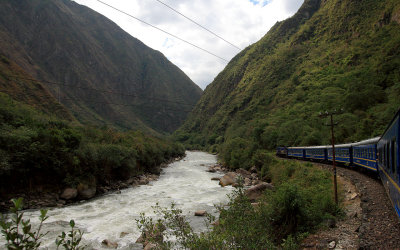
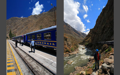 Train from Ollantaytambo to Aguas Calientes |
 Entering pure amazonian jungle |
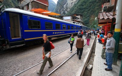 Aguas Calientes (Machu Picchu Pueblo) |
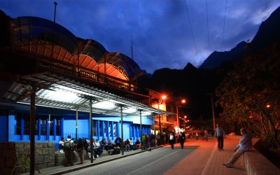 Waiting for buses to Machu Picchu, 5AM |
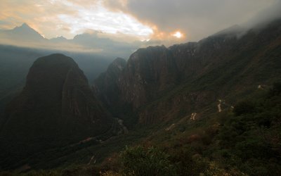 Sunrise in mountain jungle, alt. 2430m |
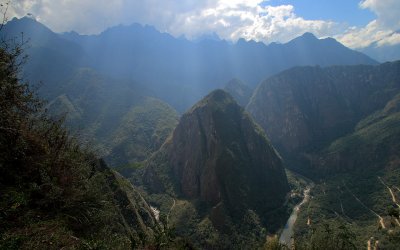
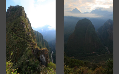 On the trip to Waynapicchu summit (alt. 2634m) |
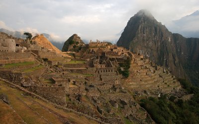 Machu Picchu - "The Lost City of the Incas" |
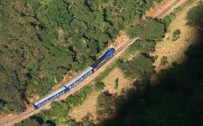 Perº Rail train, 700m lower in the valley |
 Machu Picchu from Waynapicchu |
 Urubamba river valley from Waynapicchu |
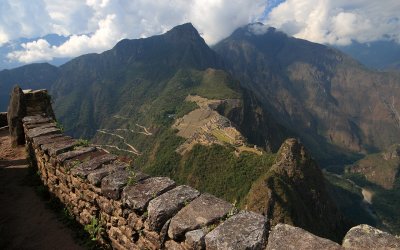
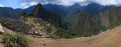 Machu Picchu panorama |
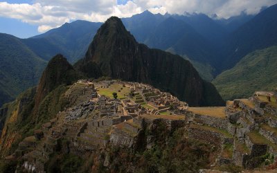 Machu Picchu, never found by Spanish |
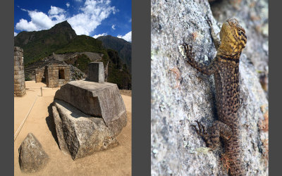 Intihuatana stone | Guarding lizard |
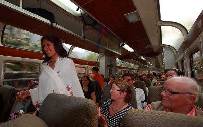 Fashion show in train back to Ollantaytambo |
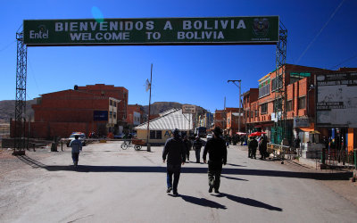 Entering Bolivia in Desaguadero |
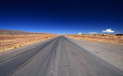 Road near Tiahuanaco |
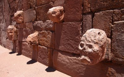 Tiahuanaco, Pre-Columbian archaeological site in western Bolivia |
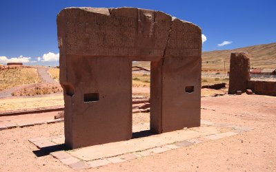 The Gate of Sun, Tiahuanaco |
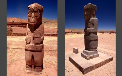 El Fraile and Ponce stela, temple Kalasasaya, Tiahuanaco |
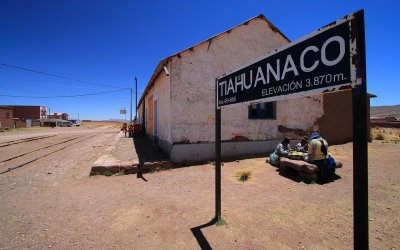 Tiahuanaco train station, elevation 3870m |
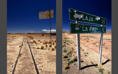 Continuing to La Paz |
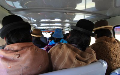 In "Collectivo" - lot of huts |
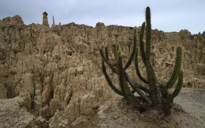 Valle de la Luna, La Paz |
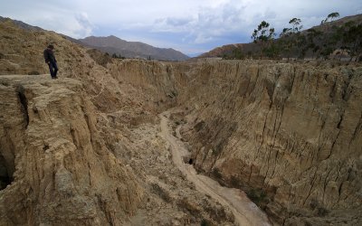 Valle de la Luna, La Paz |
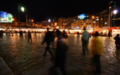 La Paz city center - Plaza San Francisco |
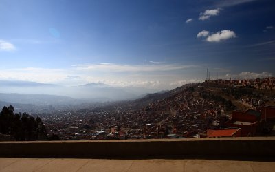 La Paz, the highest capital in the world (alt. 3660m) |
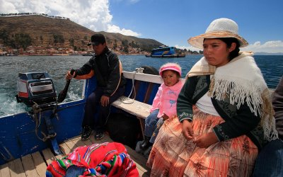 Crossing Titicaca Lake in Strait of Tiquina |
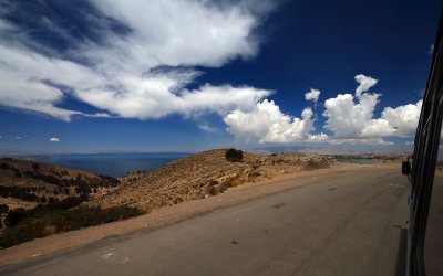 Around Titicaca on Copacabana Peninsula |
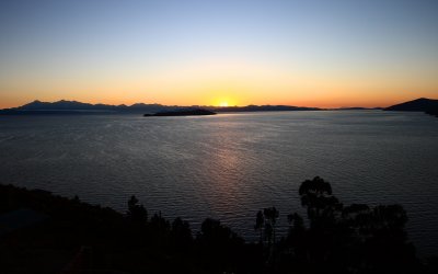
 Copacabana at sunset | After sunset |
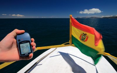 On Tititaca Lake, alt. 3823m |
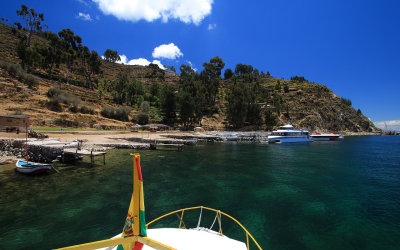 Arriving Isla del Sol (Sun Island) |
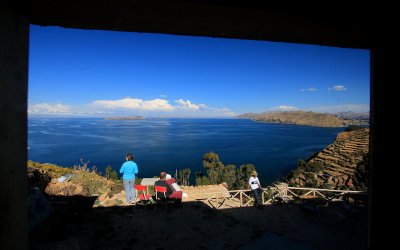
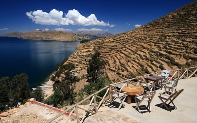 Hostal terrace, luxurious views |
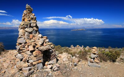 Isla del Sol, 4060m |
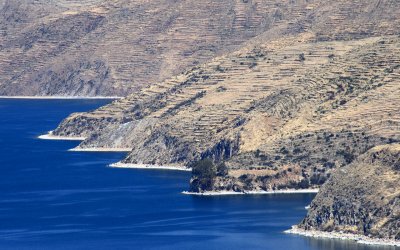 Deep blue waters of Titicaca Lake |
 View from our hostal room |
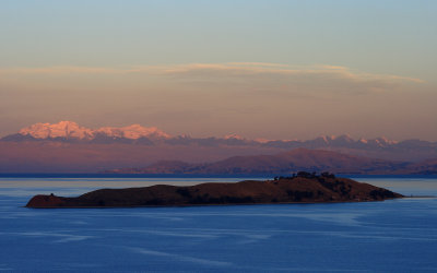 Isla de la Luna and Cordillera Real |
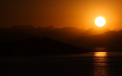
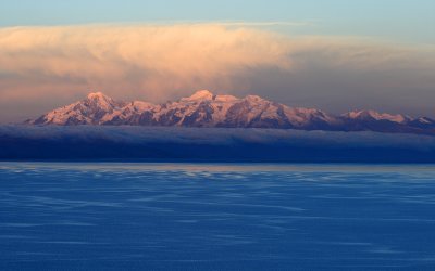 Sunset in Cordillera Real - Ancohuma summit, 6427m |
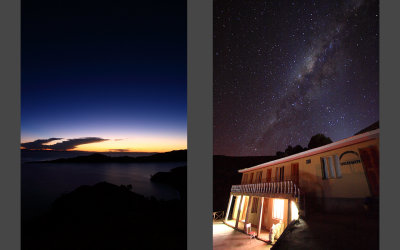 Titicaca Lake after sunset | Incredibly clean Milky Way |
 Sunrise over Andes |
 Sunrise over Andes |
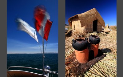 Trip to Uros, floating islands near Puno |
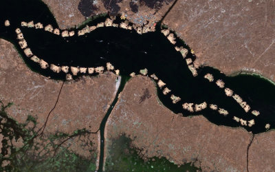 Uros from satellite (Google Earth) |
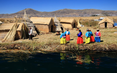 Uros |
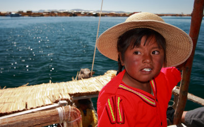 Peruanian girl |
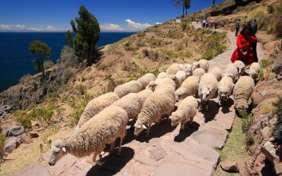 Taquile island, Tititaca Lake |
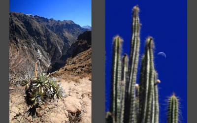
 Peruvian desert, Chachani volcano behind the truck |
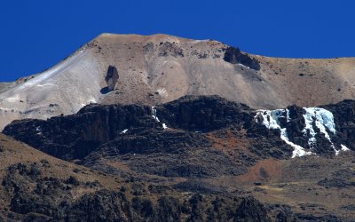
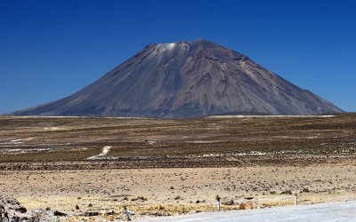 Stratovolcano El Misti, 5822 m |
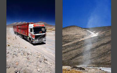
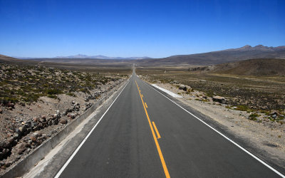 Endless road in Peruvian desert |
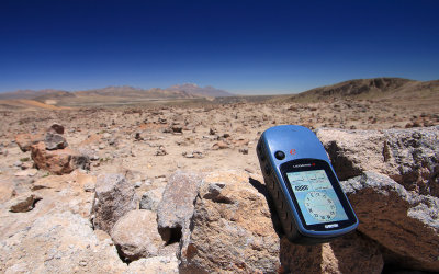 In Patapampa Pass, alt. 4888m |
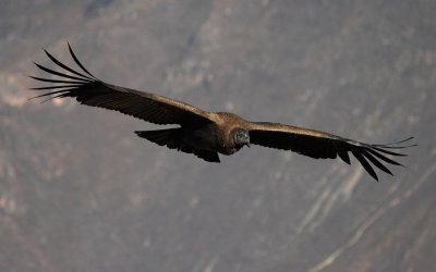 Condor in Canyon Colca |
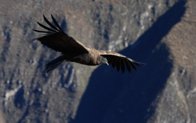 Condor in Canyon Colca |
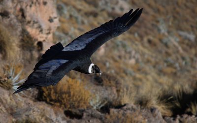 Condor in Canyon Colca |
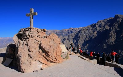 Cruz del Condor, Canyon Colca |
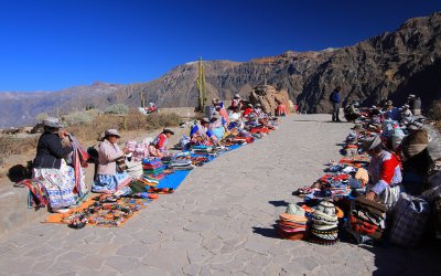 Cruz del Condor, Canyon Colca |
 Lots of condors in the sky (9?) | Hummingbird |
 Canyon Colca, the deepest canyon in the world |
 Incredibly shaped stone, high above Canyon Colca |
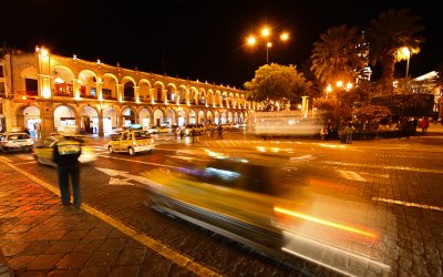
 Night Arequipa |
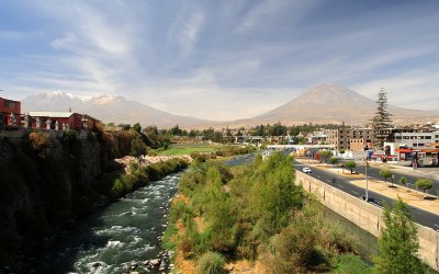
 Arequipa with Chachani volcano in the backround |
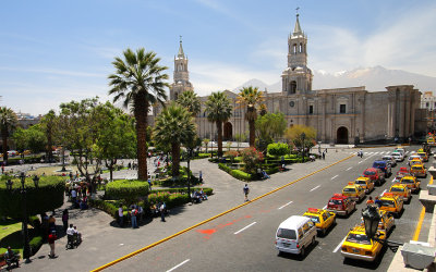 Arequipa city center, Plaza de Armas and Cathedral |
 Arequipa, town under volcanos - Chachani (left) and El Misti (right) |
 Sunset on Chachani slopes |
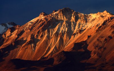
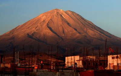 Sunset light playing on the slopes of El Misti, 5822 m |
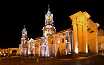
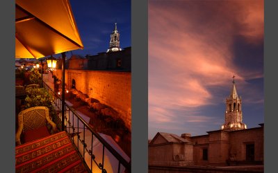 Night in Arequipa |
 Night in Arequipa |
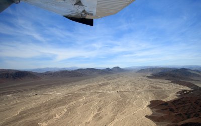
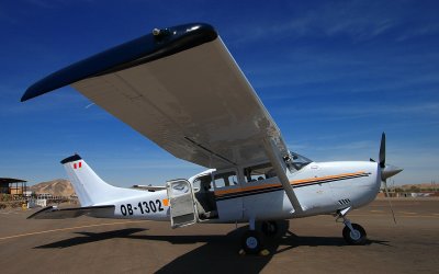 At the Nazca Airport before flight over Nazca lines |
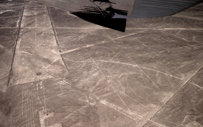
 Nazca Lines - Whale |
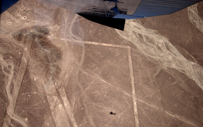
 Nazca Lines - Panamerican Highway |
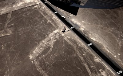
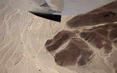 Nazca Lines - Astronaut |
 Nazca Lines - Monkey |
 Nazca Lines - Condor |
 Nazca Lines - Spider |
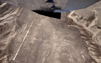 Nazca Lines - Hummingbird |
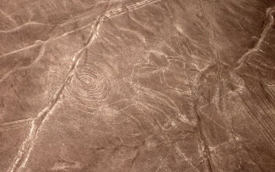
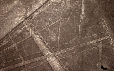
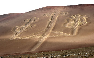
 Nazca Lines - Tree and ??? |
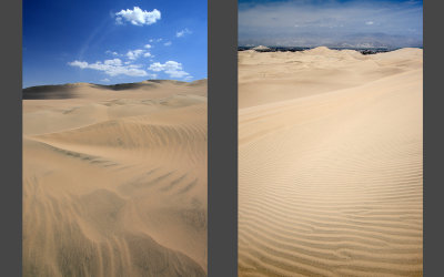 Desert near Huacachina |
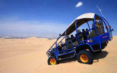 Trip from Huacachina |
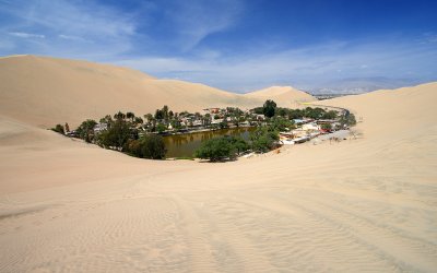 Huacachina oasis |
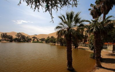 Huacachina oasis |
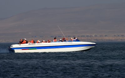 Trip to Paracas - Ballestas Islands |
 El Candelabro |
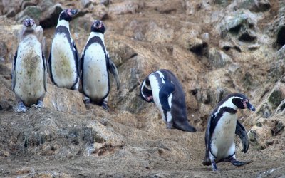 Pinguins, Ballestas Islands |
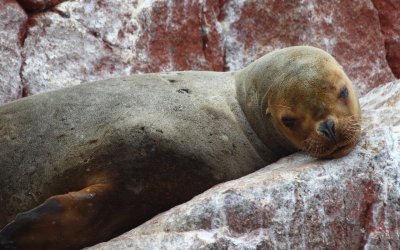
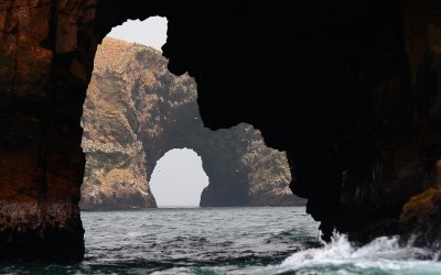 Ballestas Islands |
 Ballestas Islands |
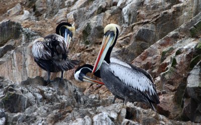
 Ballestas Islands |
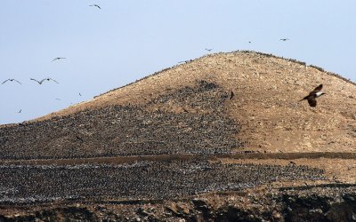 Lots of birds, Ballestas Islands |
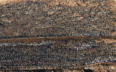 Lots of birds, Ballestas Islands |
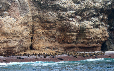 Maternity beach, Ballestas Islands |
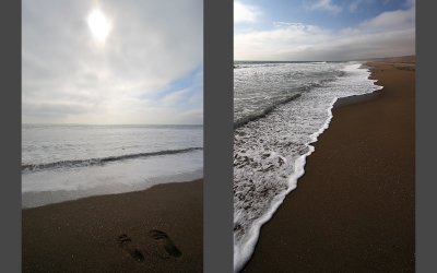 Pacific ocean coast, Chincha |
 Pacific ocean coast, Chincha |
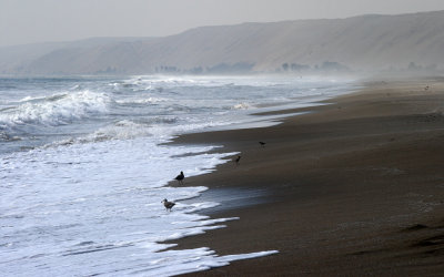 Pacific ocean coast, Chincha |
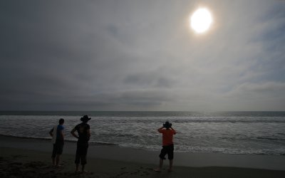
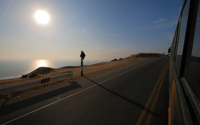 Late afternoon on Panamerican Highway |
 Lima |
 Lima |
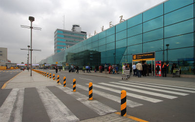 Jorge Chaves intl. airport, Lima |
 Leaving Lima |
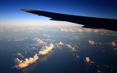 Sunrise over Atlantic ocean |
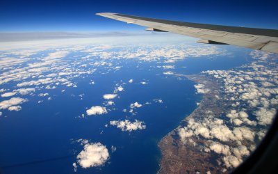 Entering Portugal coast |
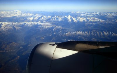 Alps with Mont Blanc in the middle |
 Entering clouds over Austria |
| comment | share |
| Raymond De Smet | 22-Feb-2013 18:35 | |
| Mima | 10-Mar-2010 13:48 | |
| princess | 05-Mar-2010 19:05 | |