


|
|
|
|
|
|
| Mark & Linda | profile | all galleries >> Galleries >> Cohutta WMA Day Trip - Chatsworth GA to Blue Ridge GA | tree view | thumbnails | slideshow |
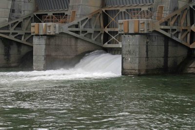 Carter's Reregulation Dam |
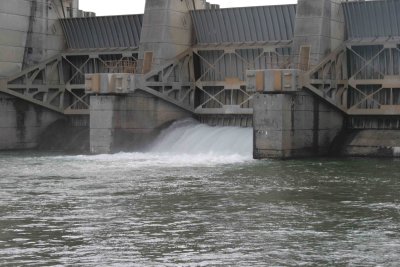 Carter's Reregulation Dam 2 |
 Carter's Reregulation Dam 3 |
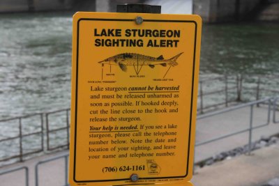 Lake Sturgeon Alert |
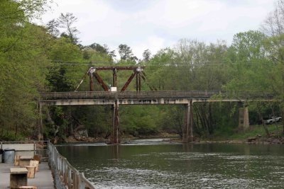 Old Highway 411 And Train Trussle |
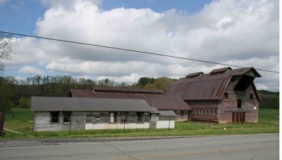 Old Dairy Farm |
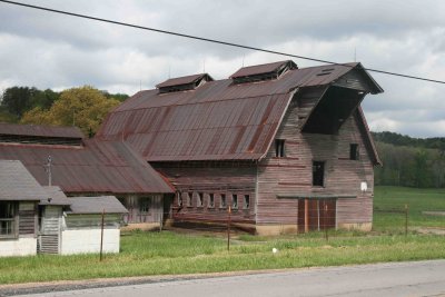 Old Dairy Farm 2 |
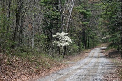 Lone Dogwood |
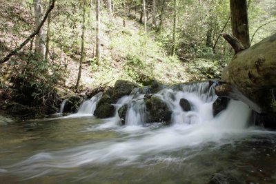
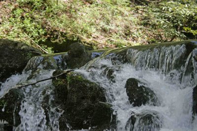
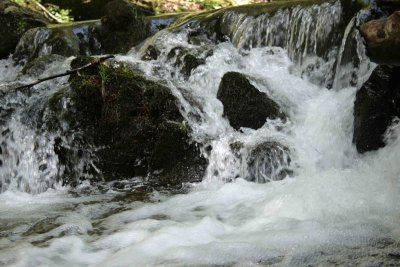
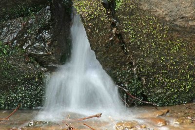
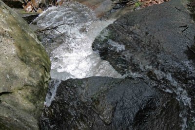
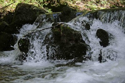 Splash |
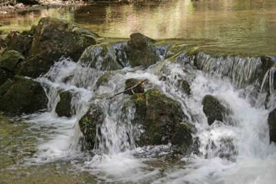
 Smooth |
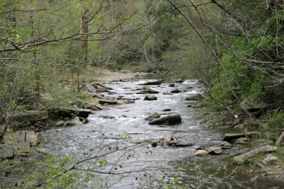
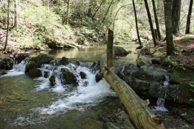
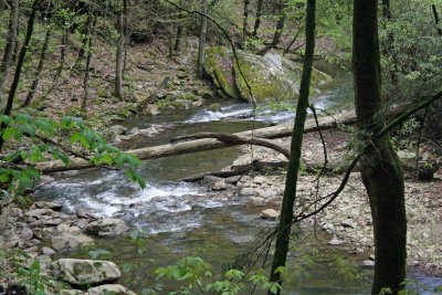
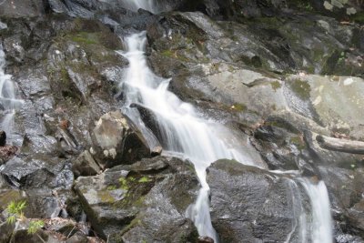
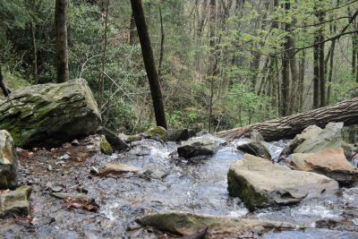
 Rushing Water |
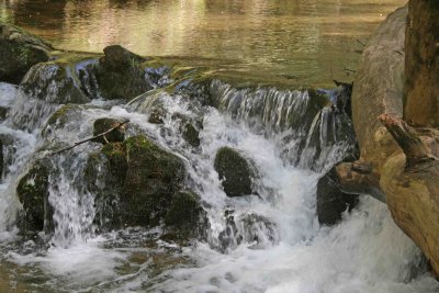
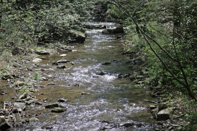
 Relaxing View |
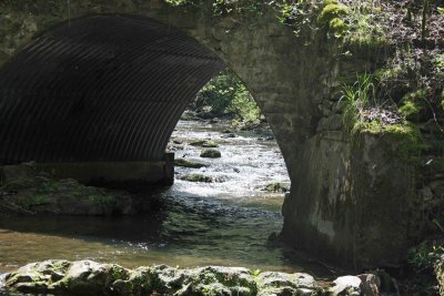 Holly Creek Bridge |
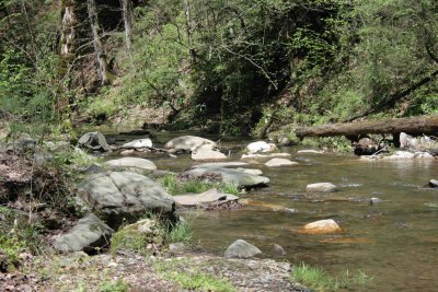
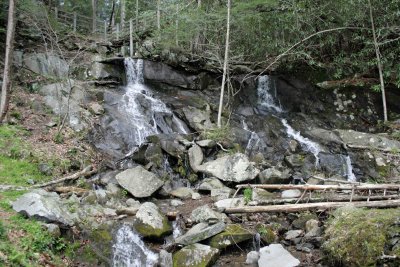
 Holly Creek 1 |
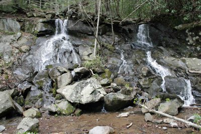
 Holly Creek 2 |
 Holly Creek 3 |
 Holly Creek 4 |
 Holly Creek 5 |
 Holly Creek 6 |
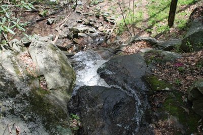
 Rushing |
 Bright White |
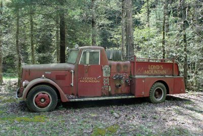 Old Fire Truck |
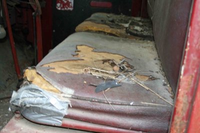 Old Fire Truck Interior |
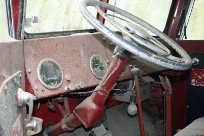 Old Fire Truck Dashboard |
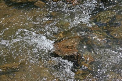
 Water Rock - Slow Shutter |
 Water Rock - Normal Shutter |
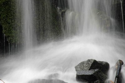
 Cold Water |
 Turnstyle |
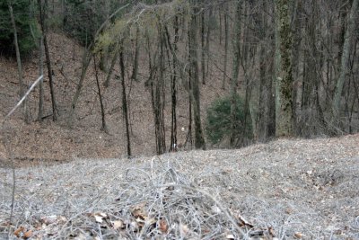
 Looking Down The Gap |
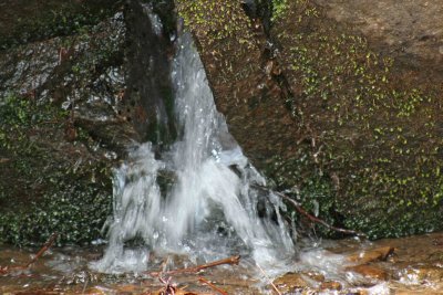
 Water Drip |
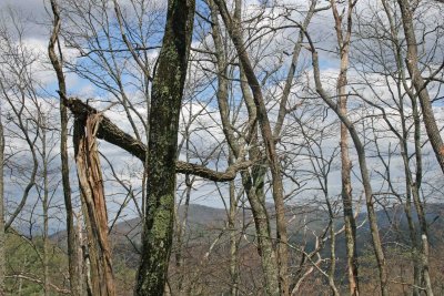 Lean On Me |
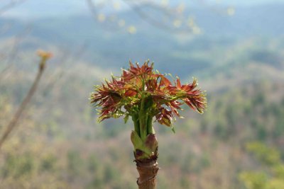
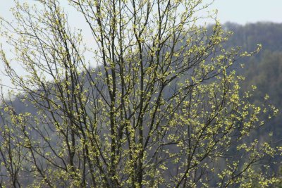 First Leaves |
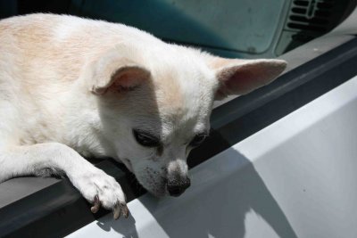
 Driver's View |
 Dalton |
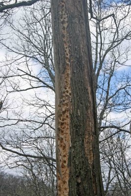 Woodpecker Training School |
 Top Of The Mountain Plants |
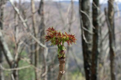 Top Of The Mountain Plants 2 |
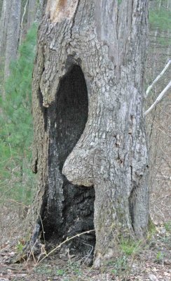
 Scratch Marks |
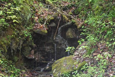
 REAL Spring Water |
 Bear Creek Sign |
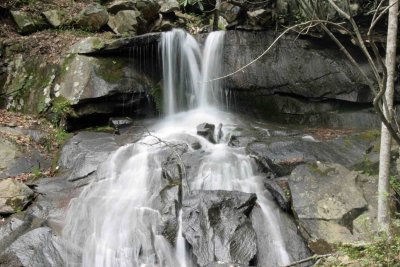
 Full Bear Creek Falls |
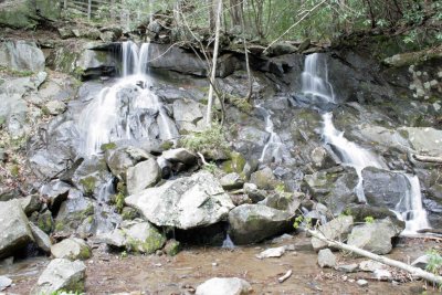
 Bear Creek Trailhead Falls |
 Bear Creek Trailhead Falls 2 |
 Bear Creek Trailhead Falls 3 |
 White Water |
 Water Slide |
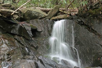 Small Fall - Slow Shutter |
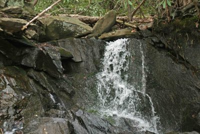 Small Fall - Fast Shutter |
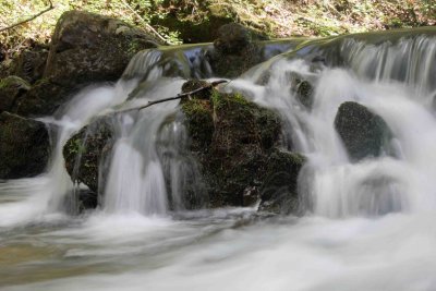
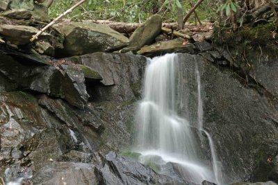 Veil |
 Over The Top |
 Over The Edge |
 Looking Down |
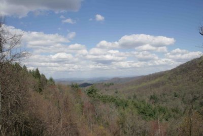
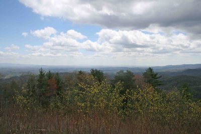
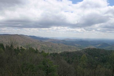
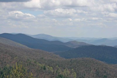
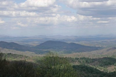
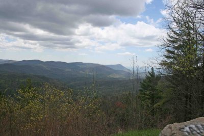
 Mountaintown Overlook |
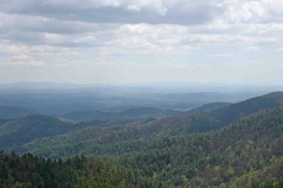
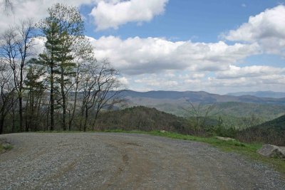
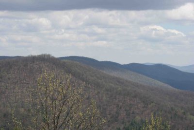
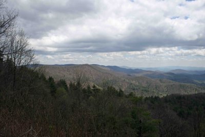
 Looking East |
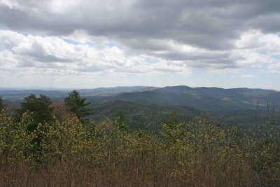
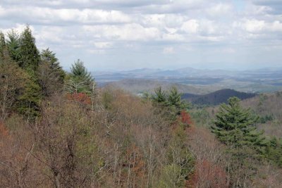
 Picnic View |
 Picnic View 2 |
 Ellijay |
 Betty Mountain |
 Betty Mountain |
 Be Sure To Turn |
 Here Or There |
 Tree From Rocks |
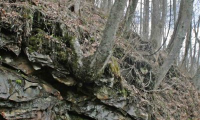 Tree From Rocks 2 |
 Trash |
 Harley Wonders |
 Fort Mountain Tip |
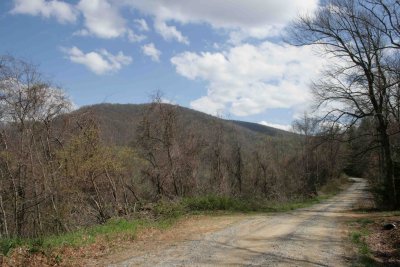
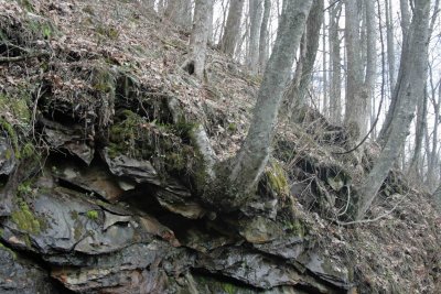
 Backbone |
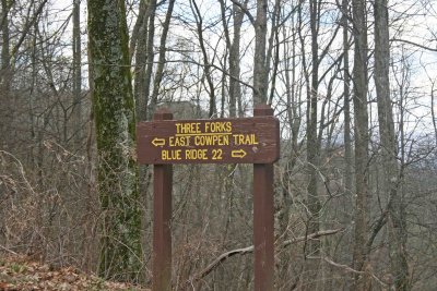
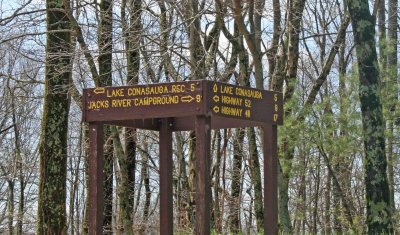 Which Way Do We Go |
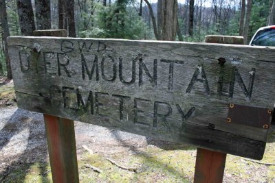 Dyer Family Cemetary |
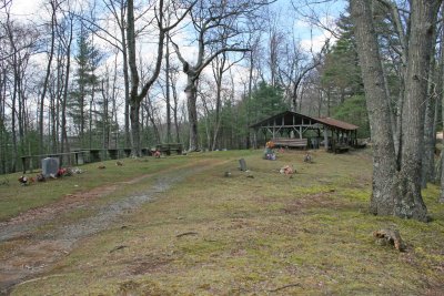 Dyer Cemetary 2 |
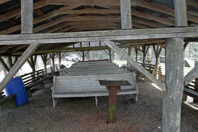 Outdoor Meeting |
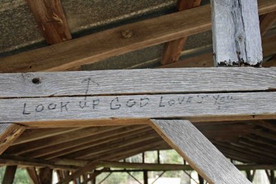 GOD Loves You |
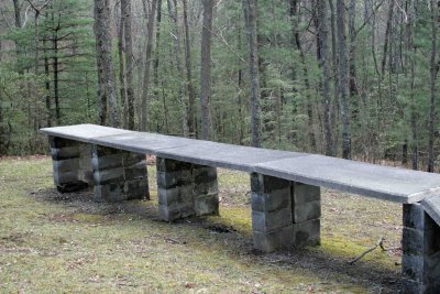
 Written Memories |
 Where Is The Chicken |
 Helmet |
 Blairsville |
 Watson's Gap |
| comment | share |
| Guest | 25-Apr-2008 13:11 | |