


|
|
|
|
|
|
| Dave Beedon | profile | all galleries >> Places >> Utah >> Wendover Area >> Floating Island >> Floating Island 's South Summit | tree view | thumbnails | slideshow | map |
:: Moab Uploads :: |
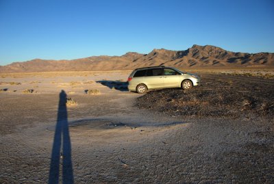 Getting the floor level (shot just before the Floating Island hike) |
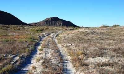
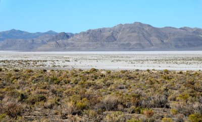
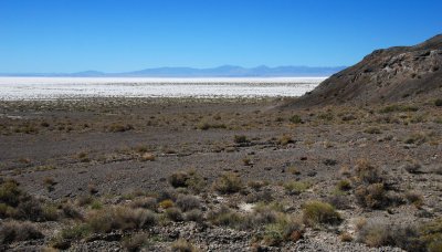
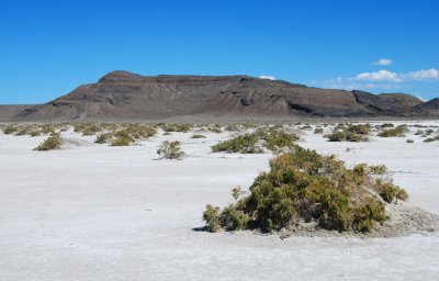
 Looking across the playa at the south summit, which waits for me |
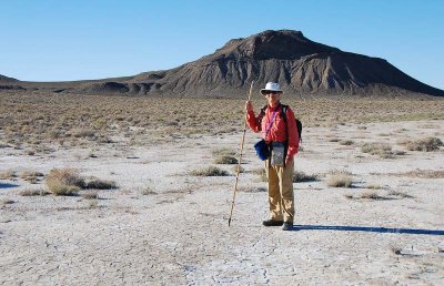
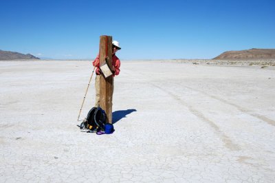
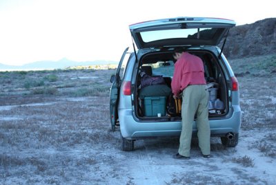 Getting my pack ready at the start of the trek |
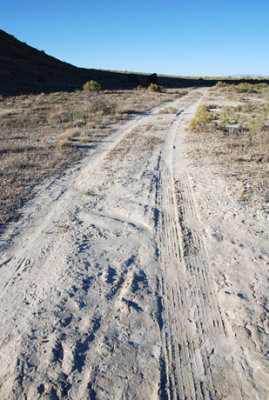 Early part of the route looked like this: nothing exciting |
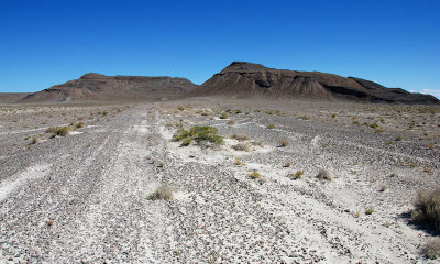
 First view of the south summit after starting the hike |
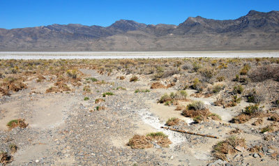
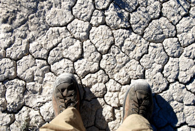 Cracks in the playa |
 Walking on the playa toward the south summit |
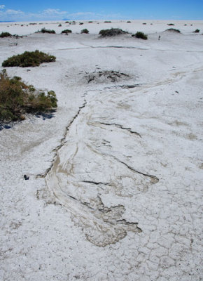
 Pattern in a dry watercourse |
 Ancient shorelines of Lake Bonneville on Tetzlaff Peak |
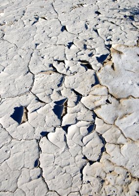 Cracked mud |
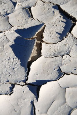 Cracked mud---close view |
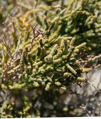
 Rabbitbrush (Chrysothamnus nauseosus) |
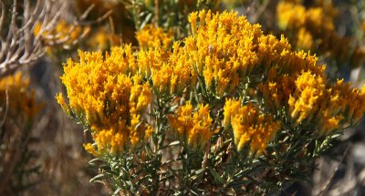 Rabbitbrush---close view |
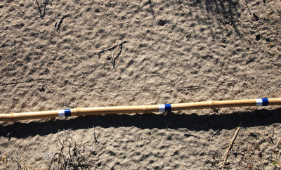
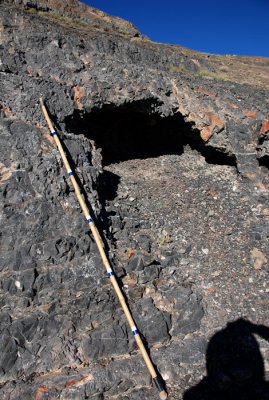
 One of many dry washes leading to the playa; bamboo stick is 6 feet (1.8m) long |
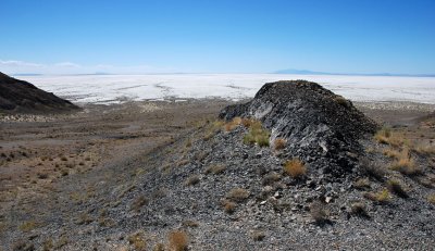
 Main summit (at left) and Lake Bonneville terraces |
 Tracks in the sand; colored bands are one foot (30cm) apart |
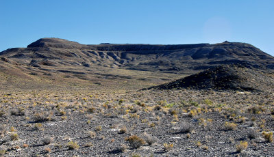
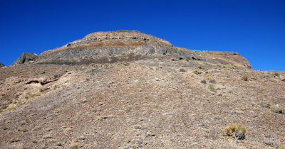
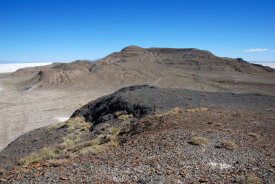
 South summit is behind the high point |
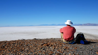
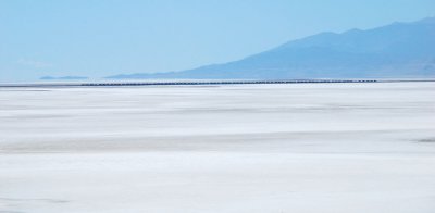
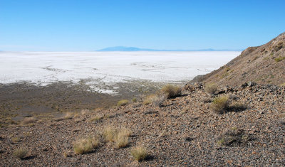 Looking south at the Bonneville Salt Flats from a low saddle below the summit |
 View of the route ahead from the low saddle |
 Geology: a mixture of water and volcanism? |
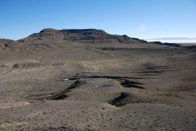 View of main summit from below the south summit |
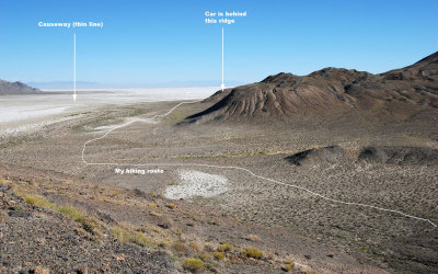 This shows my hiking route from my car (hidden by the ridger) to here |
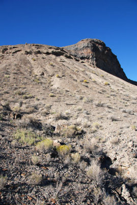
 South summit about 50 feet (15m) away |
 On the summit, looking at the vehicles far away on the salt flats |
![Summit vegetation (I think it's shadscale [Atriplex confertifolia] )](https://a4.pbase.com/g3/93/584893/3/90521203.1qDDZXwm.jpg) Summit vegetation (I think it's shadscale [Atriplex confertifolia] ) |
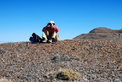
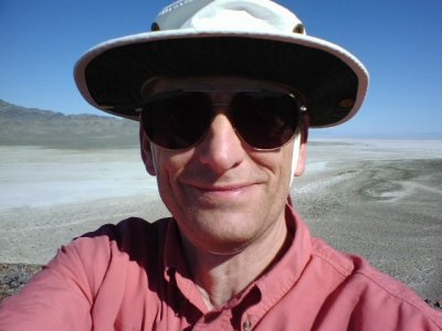 On the south summit of Floating Island (cell phone photo) |
 The curving finger that called to me to be explored |
 Using the binoculars to see the World Of Speed activity (Floating Island's main summit at right) |
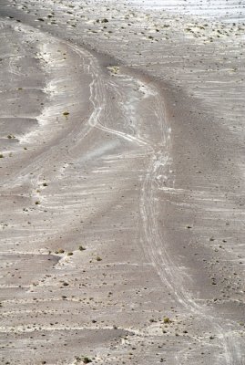 Middle of the finger (not "the middle finger") |
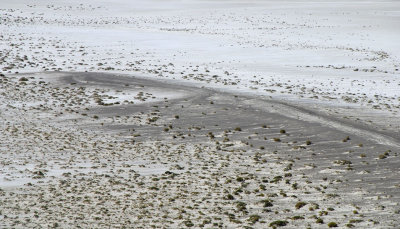 End of the finger (top of finger is about six feet above the playa) |
Eight-image panorama from Floating Island's south summit (WOS = World of Speed) |
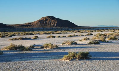
 Looking northeast at Floating Island's main summit in the distance |
 Summit feet digging into the desert pavement |
 Eastbound Union Pacific stack train, 12.5 miles (20km) away (final shot from summit) |
 Rock detail and summit during the descent |
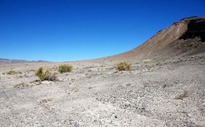
 Knob and playa |
![Desert pavement (bamboo stick is six feet [1.8m] long)](https://a4.pbase.com/g1/93/584893/3/92706209.tMeoimdB.jpg) Desert pavement (bamboo stick is six feet [1.8m] long) |
 The route to the finger: straight ahead, then around the ridge at right |
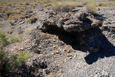 Desert pavement "boulder" provides shelter for animals (note the vegetation debris) |
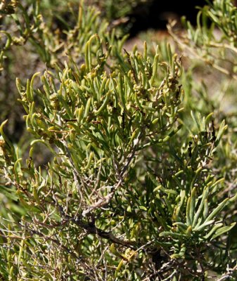 This was by far the most prevalent type of vegetation in the area |
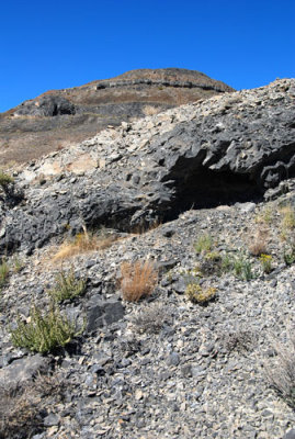
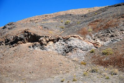 Geology of the south summit's southern base |
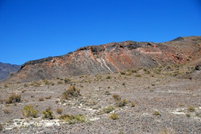 More geology of the south summit |
 Old road took me around the ridge to the start of the finger |
 Graceful slope at southwest end of the south summit |
 First view down the finger |
 Looking back at Floating Island from the finger |
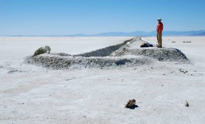
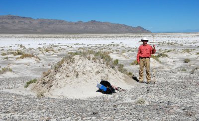 I play around a playa mound |
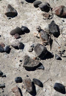 Horned toad amongst the rocks of the desert pavement |
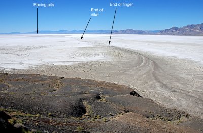
 End of the finger and start of the playa; the dike is straight ahead |
 Looking back at the ubiquitous flora and Floating Island |
 Close-up of the flora of the previous picture |
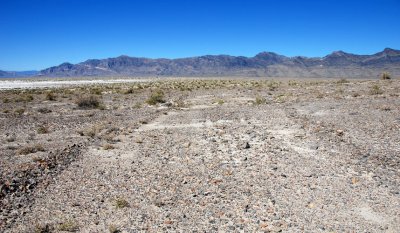
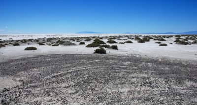
 Drainage pattern on the almost-level playa |
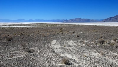
 Playa peek-a-boo |
| comment | share |
| Lee G | 19-Nov-2007 18:34 | |