


|
|
|
|
|
|
| Dave Beedon | profile | all galleries >> Places >> Utah >> Lakeside | tree view | thumbnails | slideshow | map |
| |||||||||||||||||||||||||||||||||
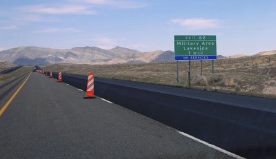 Heading east on Interstate 80 in Utah |
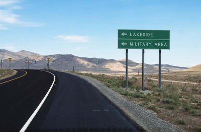 Turn left for Lakeside (I-80 Exit 62) |
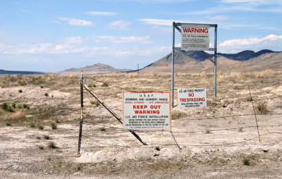
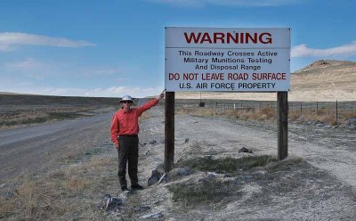
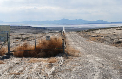
 When approaching a sensitive military area, obey the warning signs |
 First view of Puddle Valley |
 Dust devil |
 Greetings! |
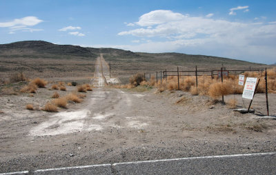 Southern boundary of the UTTR, looking west |
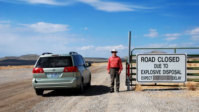 I court danger as a matter of principle just to amuse Web surfers |
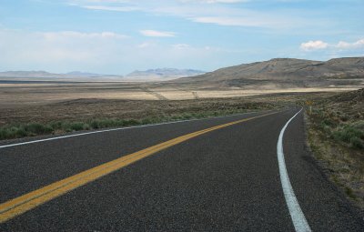
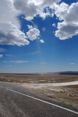
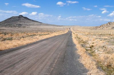
 Wide-open spaces |
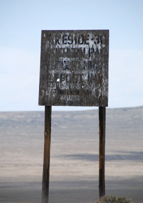
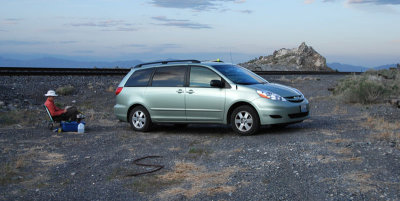
 Traveling to Lakeside is not without adventure |
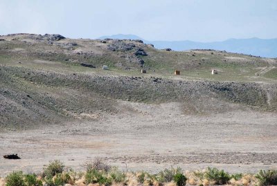 Looking northwest at what appear to be four targets in the Utah Test and Training Range (200mm telephoto shot) |
 Looking southeast at a ridge in the Utah Test and Training Range |
 Northern boundary of the Utah Test and Training Range |
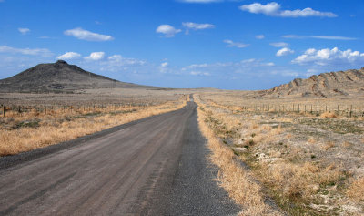
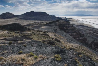
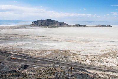
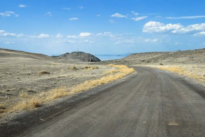 First view of Lakeside Butte |
 Looking northeast |
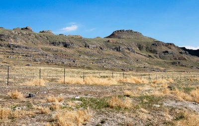
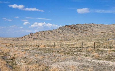 Strata in the Utah Test and Training Range (land behind the fence is the UTTR) |
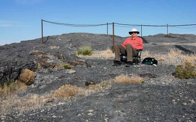 Bored atop Lakeside Butte |
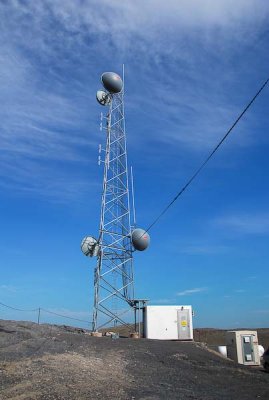 Tower atop Lakeside Butte |
 Quarrying activity, seen from Lakeside Butte |
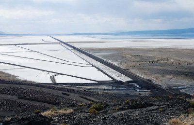 Evaporation ponds and railroad causeway, seen from Lakeside Butte |
 Strong's Knob, seen from Lakeside Butte |
 Lakeside Motel |
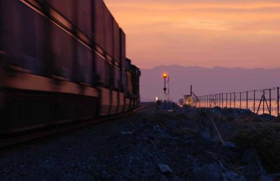 Eastbound blur at Lakeside |
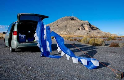 Clothesline? Signal flags? Party decorations? |
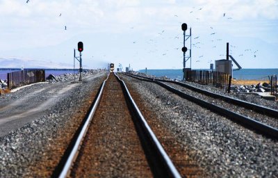 Train on causeway approaches Lakeside |
| comment | share |
| Paolo Peggi (aka Bracciodiferro) | 19-Jan-2010 10:48 | |
| Monte Dodge | 04-Aug-2008 11:52 | |