


|
|
|
|
|
|
| Khanh | profile | all galleries >> Hong Kong >> Hiking >> Tai Mo Shan | tree view | thumbnails | slideshow |
30th May 2005At 958 metres above sea level, Tai Mo Shan 大帽山, literally Big Hat Mountain) is Hong Kong's highest point (coincidentally the name also sounds like Big Fog Mountain - which the peak is normally is covered in).With Tony leading the way, we follow the MacLehose trail section 7 and 8 to the peak of Tai Mo Shan (BTW, for you die hards, the MacLehose trail is the site of the 48 hour endurance race held every year). After finding the right section to start on (past the Shing Mun Resevoir) we head straight up to our first steep ascent - the aptly named Needle Hill. From there it was a long hike through to Lead Mine pass (via an unscheduled long - short cut) and up the rocky (volcanic rock) path up to Tai Mo Shan to catch the setting sun. After watching the sun set, we finally make our last push up the mountain toward the foggy peak. Having nothing to see at the top because (a) there's just too much fog and (b) you can't actually get to the top because of the fencing around the weather radio installation, we make our way down the mountain pass great view sof Tuen Mun and the famous Tsing Ma Bridge.
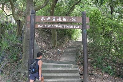 Tony at the start of MacLehose Trail Stage Six (opps wrong stage) |
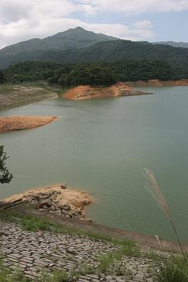 Tai Mo Shan & Shing Mun Reservoir |
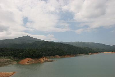 Tai Mo Shan & Shing Mun Reservoir (Landscape) |
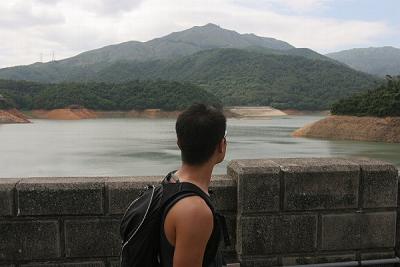 Tony at Tai Mo Shan & Shing Mun Reservoir |
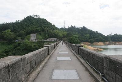 Dam at Shing Mun Reservoir |
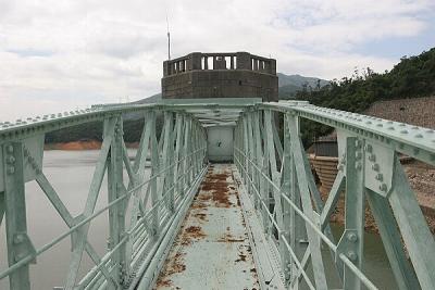 Metal Bridge at Shing Mun Reservoir |
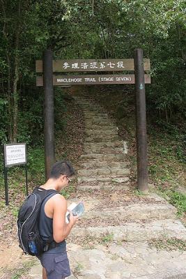 Tony at the start of MacLehose Trail Stage Seven (Restart) |
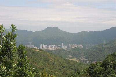
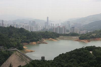 Tsuen Wan and Shing Mun Reservoir |
 Shing Mun Country Park |
 Lion Rock from Shing Mun Country Park |
 Sha Tin and Lion Rock from Shing Mun Country Park |
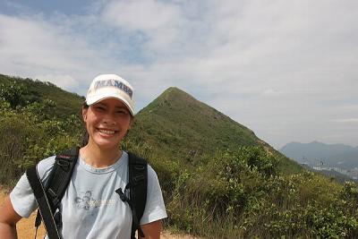 Jane at Needle Hill |
 Jane and Tony contemplating the path up Needle Hill |
 Path Down Needle Hill to Shing Mun Reservoir |
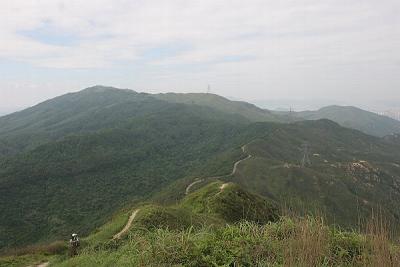
 Tsuen Wan and Shing Mun Reservoir from Needle Hill |
 Jane and Tony resting at the top of Needle Hill |
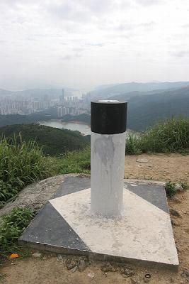 Geodetic Marker at Needle Hill |
 Path to Grassy Hill |
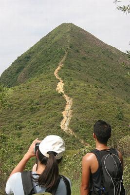
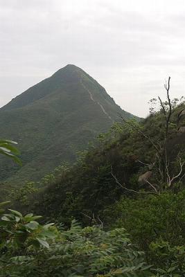 Needle Hill |
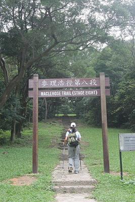 Jane at the start of MacLehose Trail Stage Seven |
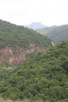
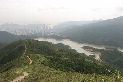
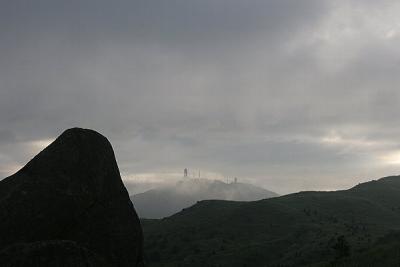
 Tsuen Wan and Shing Mun Reservoir from Lead Mine Pass |
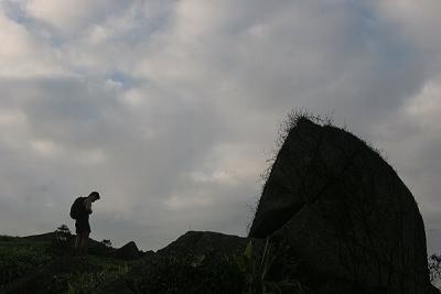 Tony Thinking hard about bouldering this rock |
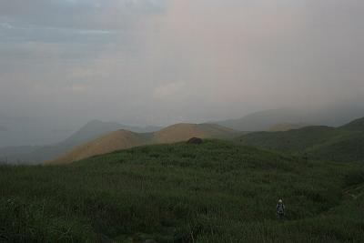
 Looking at the peak of Tai Mo Shan |
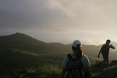
 Jane heading toward the setting sun on the trail to Tai Mo Shan |
 Tai Po from trail to Tai Mo Shan |
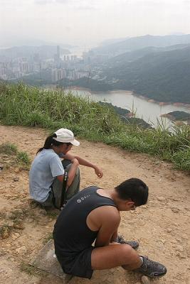
 Jane and Tony (checking our time) heading to Tai Mo Sha |
 Jane on the trail to Tai Mo Shan |
 Tony on the rocky path to Tai Mo Shan |
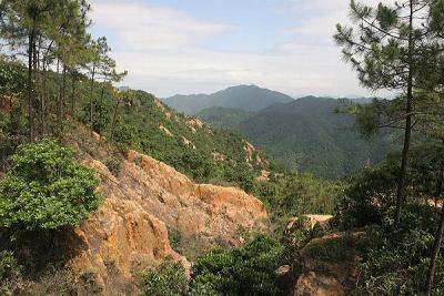
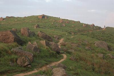
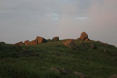 Rock Formations to Tai Mo Shan |
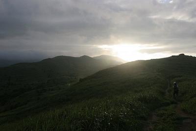
 Sun setting on trail to Tai Mo Shan |
 Tony on the trail up Tai Mo Shan |
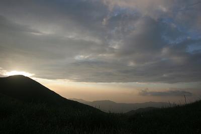
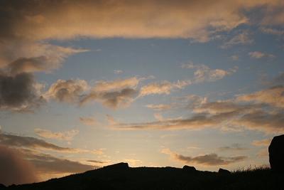 Setting Sky near Tai Mo Shan |
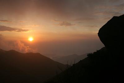 Sun setting near Tai Mo Shan |
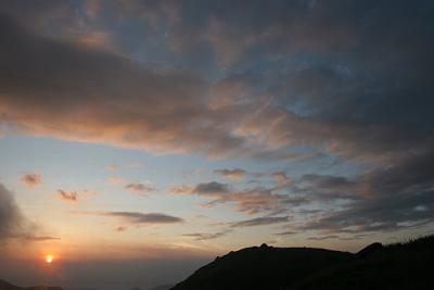 Sun setting near Tai Mo Shan (Wide Angle) |
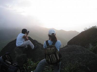 Khanh and Jane taking photos of the setting sun |
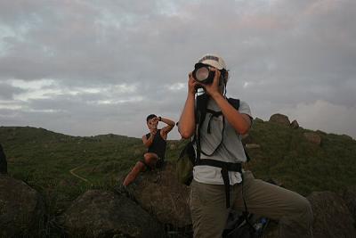 Tony and Jane taking photos of the setting sun |
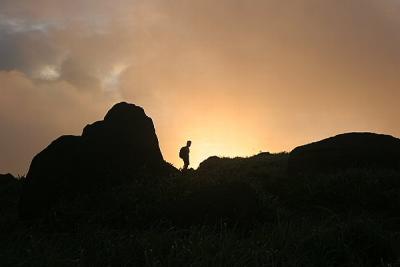
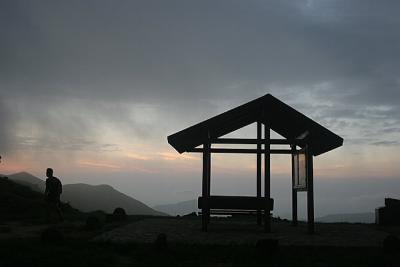 Tony at resting station before final push to the peak of Tai Mo Shan |
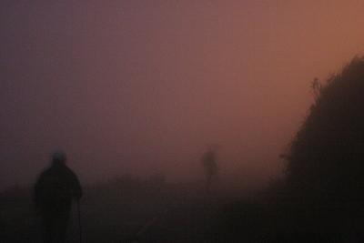 Jane and Tony lost in the fog near the peak of Tai Mo Shan |
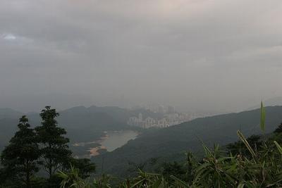
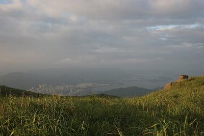
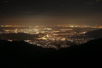 Tuen Mun from slope of Tai Mo Shan |
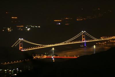 Tsing Ma Bridge from slope of Tai Mo Shan |
| comment | share |
| Ramanaw | 22-Mar-2010 10:24 | |
| Khanh | 24-Oct-2005 15:37 | |
| Kelly | 20-Oct-2005 11:07 | |