


|
|
|
|
|
|
| Jurisam | profile | all galleries >> Neighbourhoods Of Haifa, Israel >> Nachal Ha'Giborim (ex Rushmiya) & Chalissa | tree view | thumbnails | slideshow |
| previous page | pages 1 2 3 ALL | next page |
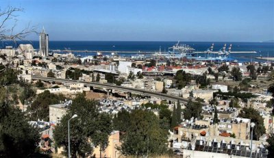
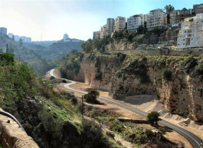 Nachal Ha'Giborim (ex Rushmiya),From North .At Bottom - New Road To Mt. Carmel Tunnel Digging Site.JPG |
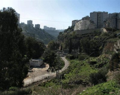 Western Bank Of Nachal Ha'Giborim.At Right (up) - Wijnits Neighbohood .JPG |
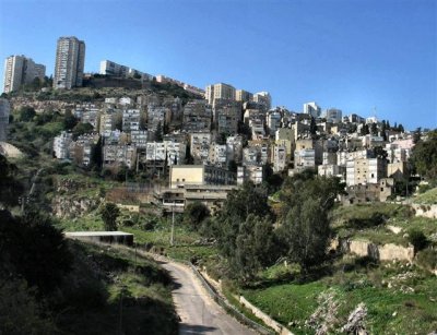 East Side Of Hadar Ha'Carmel Neighborhood On Western Bank Of Nach Ha'Giborim.On Top -Buildings In Ramat Hadar .JPG |
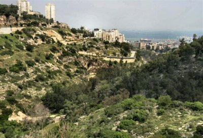 South Part Of Nachal Ha'giborim, From Nearby Carmel Tunnel Working Site .JPG |
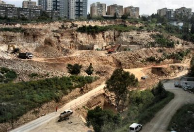 The South-East End Of The Road , At Bottom Of Nachal Ha'Giborim, Where Tunnel Digging Site Is Located.JPG |
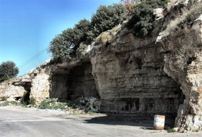 Old Caves On The Eastern Slopes Of Nachal Ha'Giborim.JPG |
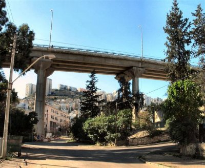
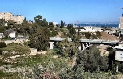 Ha'Giborim Bridge, Above Nachal Ha'Giborim, For Traffic Descending From Hadar Ha'Carmel To The Haifa Bay Area.JPG |
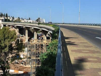
 Ha'Giborim Bridge, As Seen From Bellow.JPG |
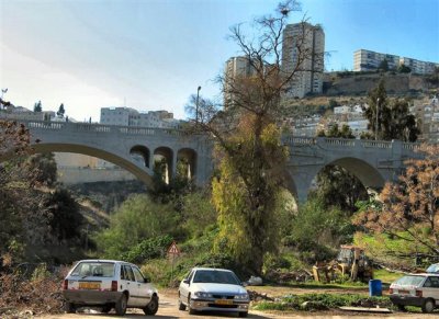
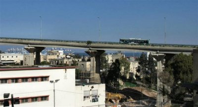
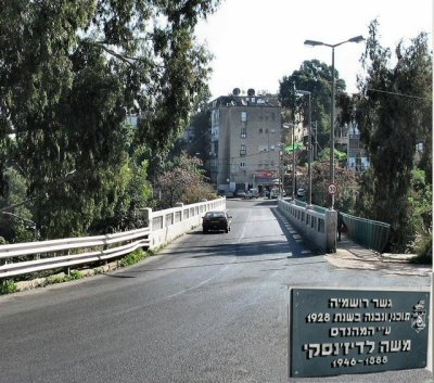 HaGiborim Bridge, Descent From Hadar Ha'Carmel (see plate at right).jpg |
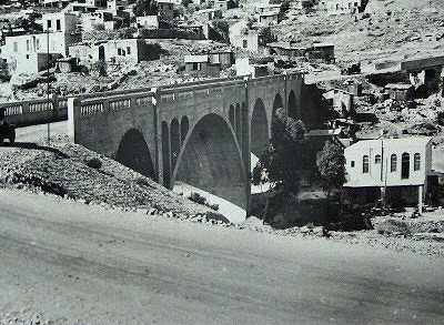 In Comparison: Rushmiya Bridge At Old Days - View From E To W(unknown photographer).jpg |
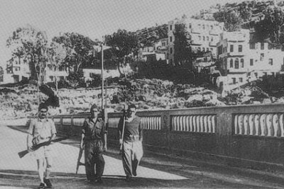 In Comparison: Hagana Soldiers On Rushmiya Bridge,1948 (unknown photographer).jpg |
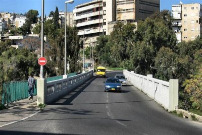 Ha'Giborim Bridge, View From Chalissa.JPG |
 New Bridge,Known As "Regiment 22" Bridge, Above Nachal Ha'Giborim.JPG |
 Regiment 22 Bridge, As Seen From Below.JPG |
 Regiment 22 Bridge, View From East .jpg |
 Regiment 22 Bridge, View From Ha'Giborim Bridge.JPG |
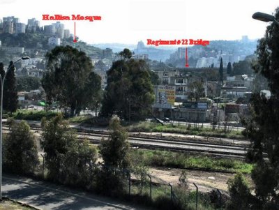 View From Hiram Bridge On Wadi Rushmiya. At Backgr. Regiment 22 Bridge & The Mosque In Hallisa.JPG |
 Poor Dwelling Houses, In Nachal Ha'Giborim.JPG |
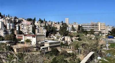 Beit Ha'Ta'assiya (up right) - Built In 1947, At Eastern Hadar Ha'Carmel (View from Chalissa).JPG |
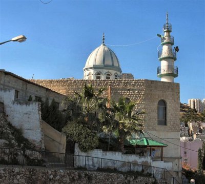 Sheik Abdalla Mosque In Chalissa Neighbourhood .JPG |
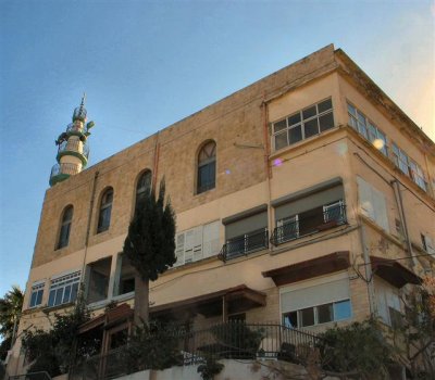 Sheik Abdalla Mosque, In Chalissa Neighbourhood ,View From North.JPG |
 The Sea At Haifa Bay, View from Abdalla Mosque.JPG |
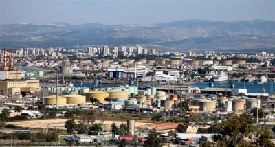
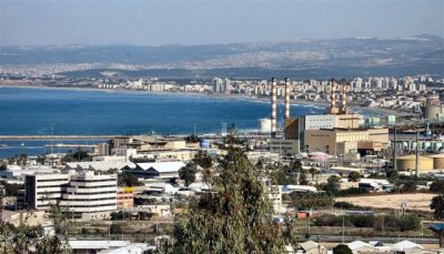 View Of Haifa Bay, The Power Station And Kiryat Chaim Beach, As seen from Abdalla Mosque .JPG |
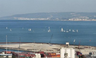
 The Kishon Port, view from Abdalla Mosque.jpg |
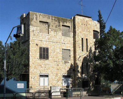 The Chalissa Nadgada Building, - Seat Of The Haifa Eastern Arab Suburbs Committee.(1947) .JPG |
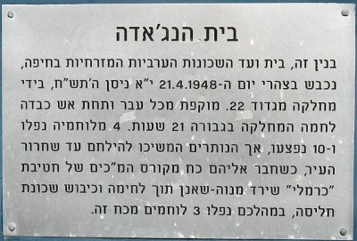 A Signpost Outside The Nagada Building In Memory Of Those Who Fought There (Hebrew).JPG |
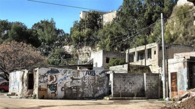
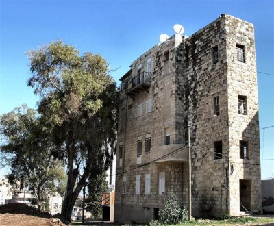 An Old Building In Chalissa Neighbourhood, Built Before the War Of Independence.JPG |
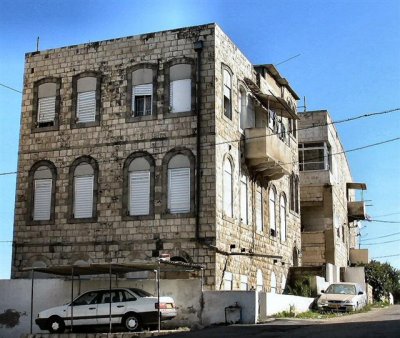 Another Old Building In Chalissa Neighbourhood.JPG |
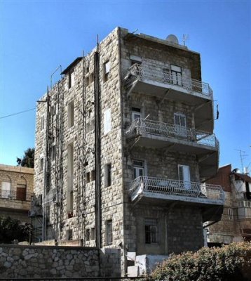 An Old Building In Ha'Giborim St. At Chalissa Neighbourhood.JPG |
| previous page | pages 1 2 3 ALL | next page |
| comment | share |