


|
|
|
|
|
|
| Susanne v. Schroeder | profile | all galleries >> PLACES >> Copper Falls State Park in Mellen, WI | tree view | thumbnails | slideshow |
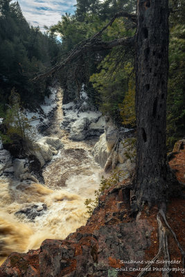
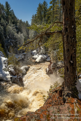
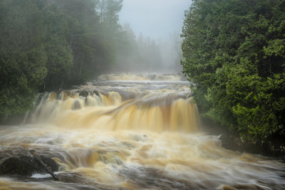
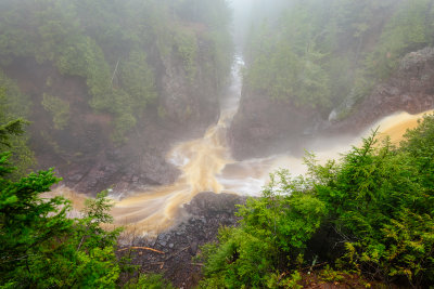
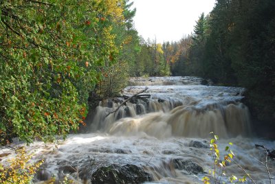
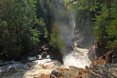
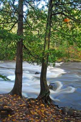
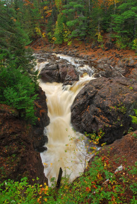
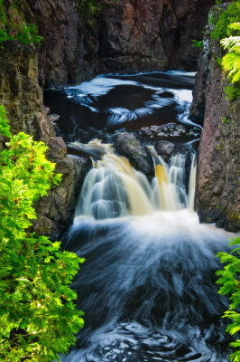
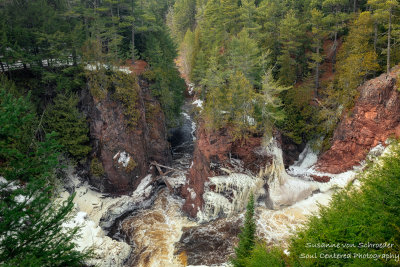 At Copper Falls state park, confluence |
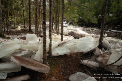 Ice chunks along the Tyler Fork river |
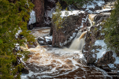
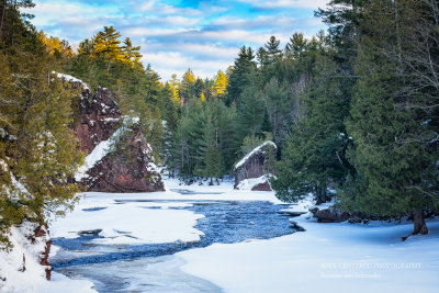
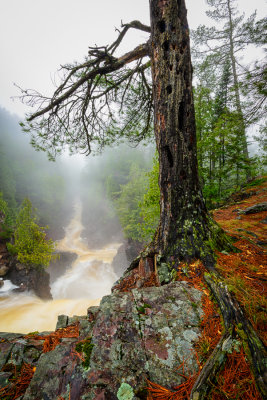
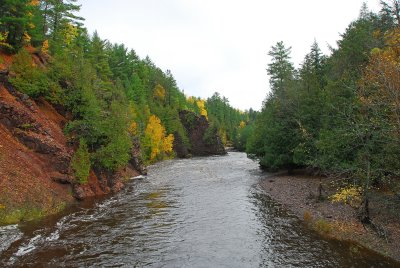
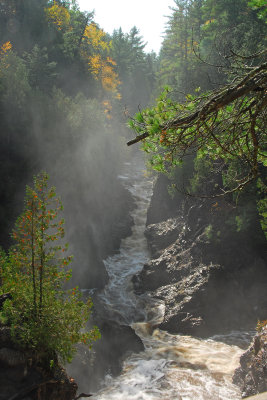
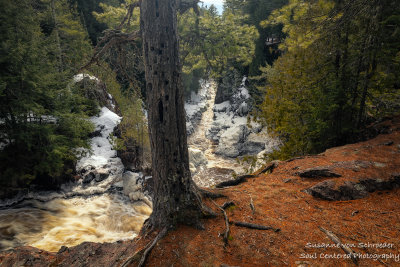 Bad River gorge with tree |
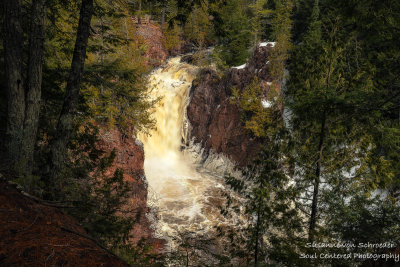
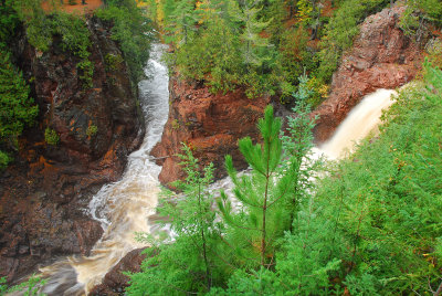
 Brownstone Falls from top |
 Bad River gorge |
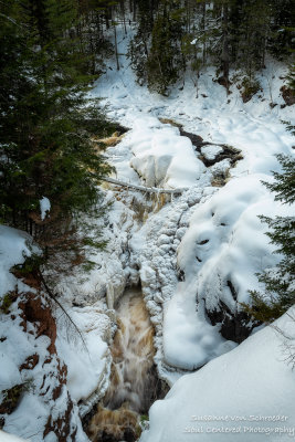
 Brownstone Falls, snow melt |
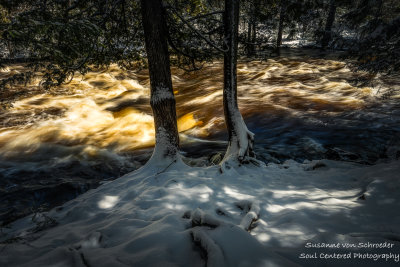
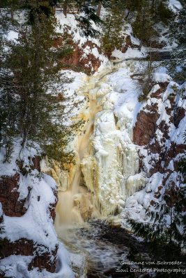
 Copper Falls, snow melt |
 Sunset mood at Copper Falls State park |
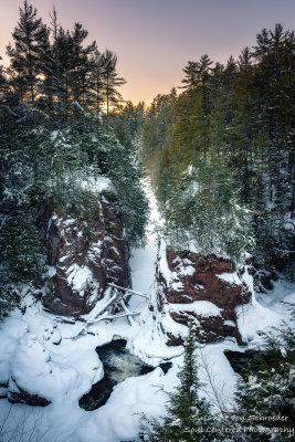
 Snow covered canyon at sunset |
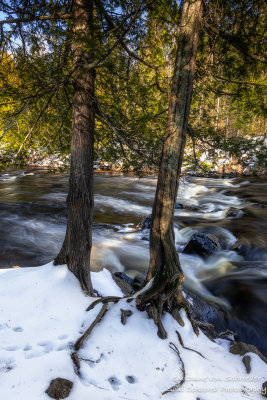
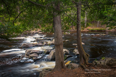
 Along the Bad River 4 |
 Along the Bad River 1 |
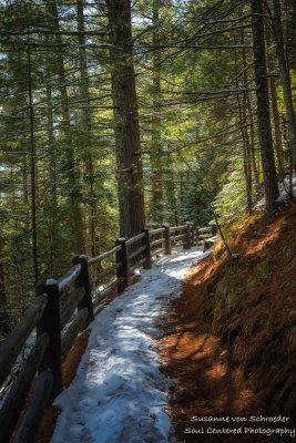
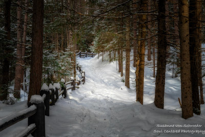
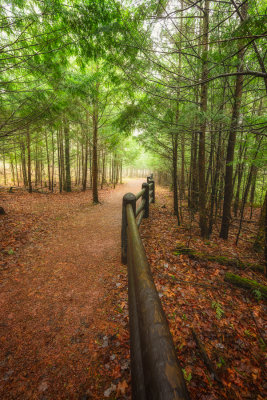
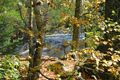
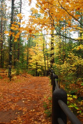
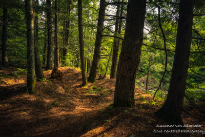 Woodland trail along the Bad River |
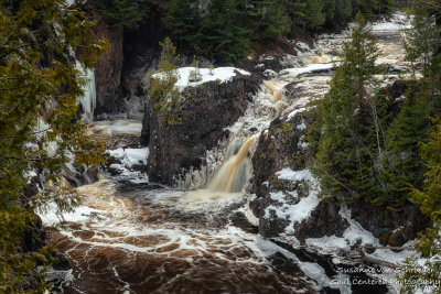
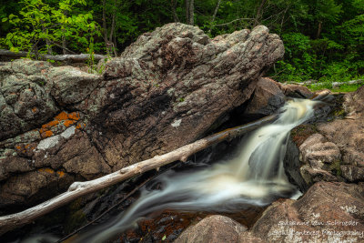
 Red Granite Falls 5 |
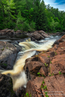 Red Granite Falls 3 |
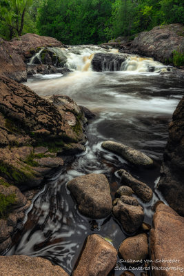 Red Granite Falls 2 |
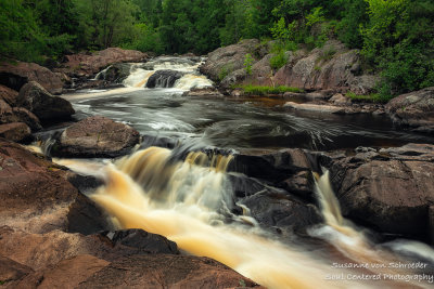 Red Granite Falls 1 |
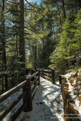 Path with snow 2 |
 Path with snow 1 |
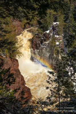 Brownstone Falls with rainbow |
 "Devil's Gate", spring |
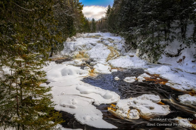
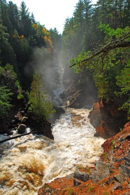
 Bad River gorge, early spring |
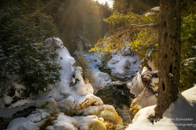
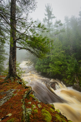
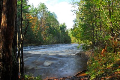
 Along the Tyler Fork river |
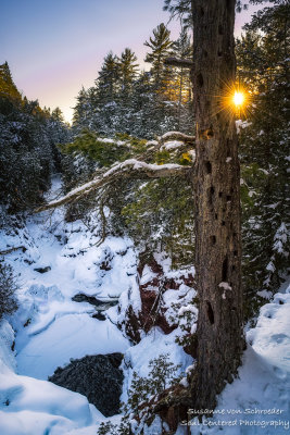
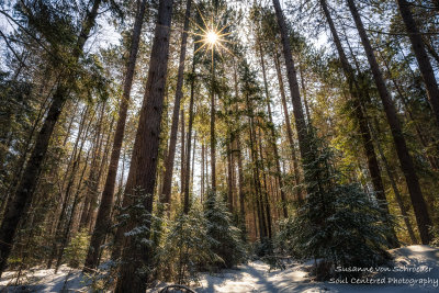 Sun in tall pine trees |
 Snow shoe trail |
 Brownstone Falls with ice |
 View towards Bad River gorge 2 |
 View towards Bad River gorge |
 Tyler Fork falls, Copper Falls State park |
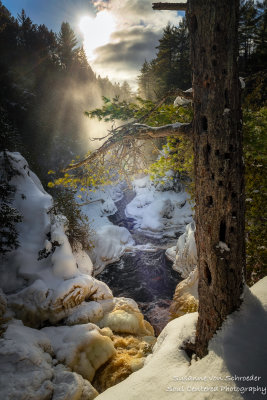
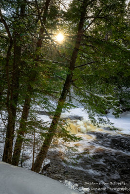 Sun peeking through, along the Tyler Fork river |
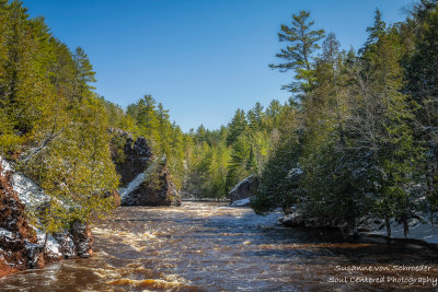
 The confluence of the Bad River and Tyler Fork |
 Snow shoe path |
 Copper Falls, half frozen |
 Along the Tyler Fork, early spring 2 |
 Along the Tyler Fork,, early spring |
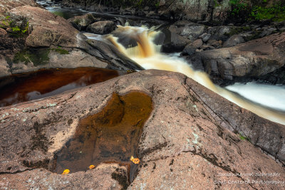
 Water, light and wind |
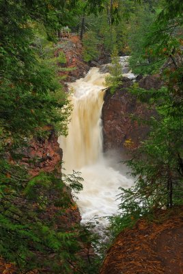
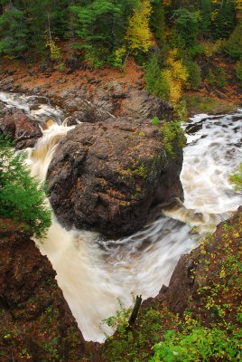
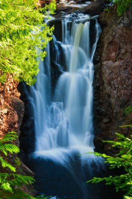
 Copper Falls |
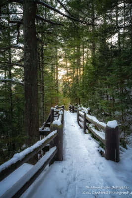
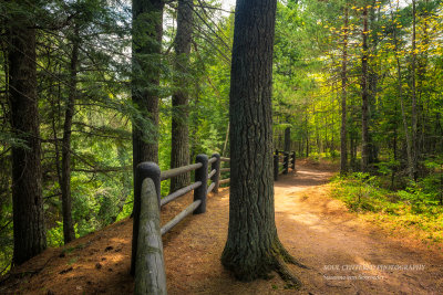 Hiking trail |
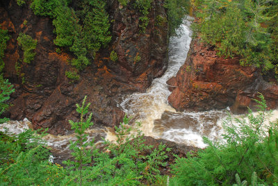
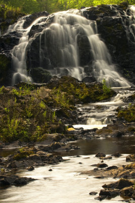
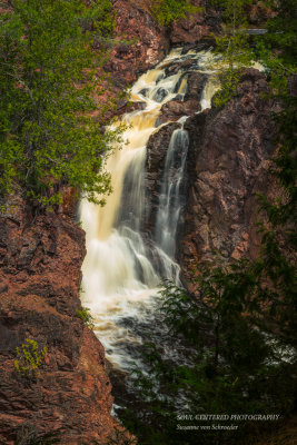 Brownstone Falls |
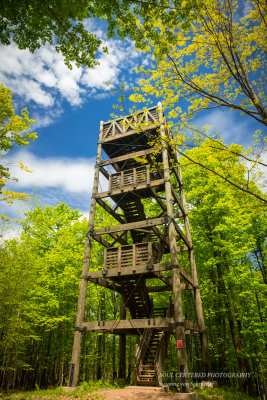 Observation tower |
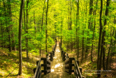 Steps |
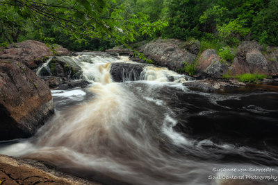
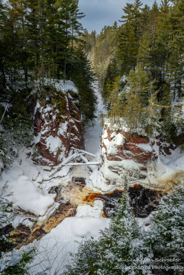
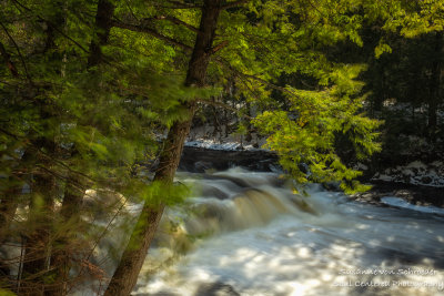
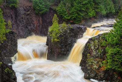
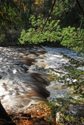
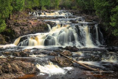 Tyler Fork cascades |
 Tyler Fork |
 Devil's Gate |
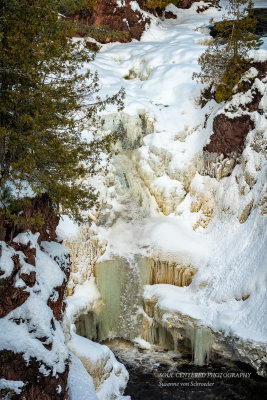 Brownstone falls under ice |
 Tyler Cascades |
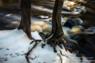
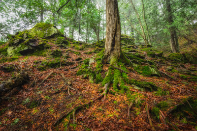 tree roots |
 at Copper Falls State Park 4 |
 Brownstone Falls |
 Copper Falls |
 at Copper Falls State Park 3 |
 at Copper Falls State Park 2 |
 at Copper Falls State Park |
 |
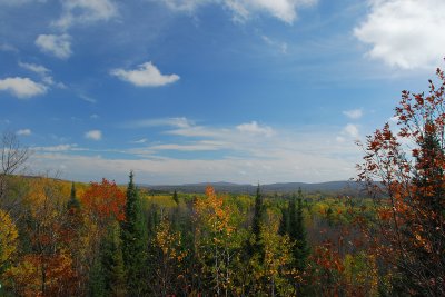 View of the Penokee Gogebic Range |
 Copper Falls |
 Copper Falls |
 |
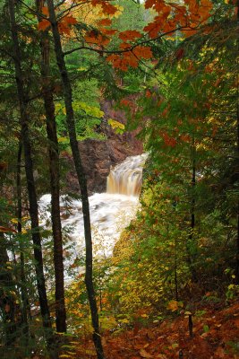
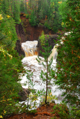
 Brownstone Falls |
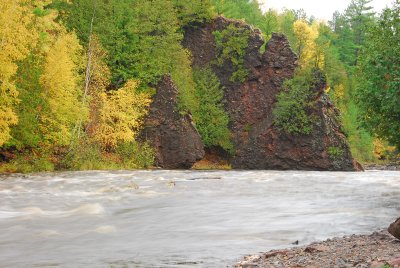 Devil's Gate |
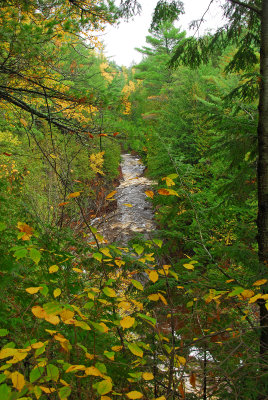
 Bad River |
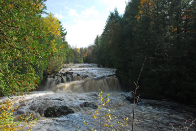 Tyler 's Forks Cascades |
 |
 |
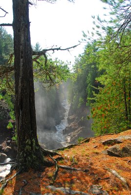
 View from the Brownstone Falls towards the Bad River |
 |
 |
 |
 |
 |
 |
 Brownstone Falls to the right |
 Bad River and Tyler's Forks meet |
 |
 Copper Falls |
 |
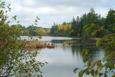
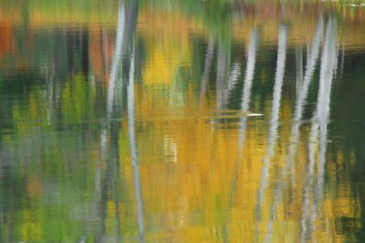
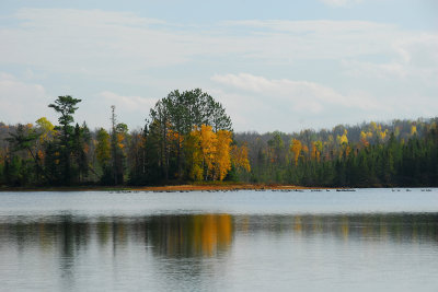 Loon Lake |
 |
 |
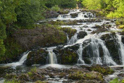 Tyler Forks Cascades |
 Tyler Forks Cascades |
 Brownstone Falls |
 Copper Falls |
| comment | share |
| Constance Endres | 08-Jan-2012 05:47 | |
| Milan Vogrin | 09-Oct-2007 05:16 | |
| Gerard Koehl | 08-Oct-2007 15:07 | |