photo sharing and upload picture albums photo forums search pictures popular photos photography help login
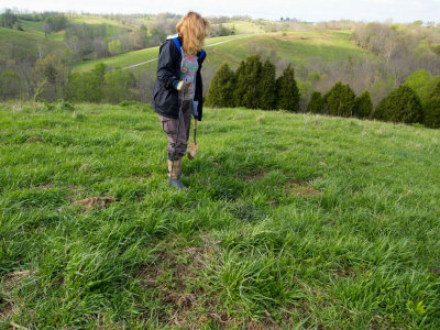
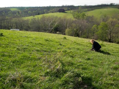
John Small Photography | profile | all galleries >> Genealogy: Past & Present >> Genealogy Research >> Cemeteries >> George Small Cemeteries >> Long Branch Cemetery tree view | thumbnails | slideshow | map

Somerset Lane Cemetery | Tunnel Hill Road Cemetery | Van Thompson Road Cemetery | Carter Cemetery | Jones Cemetery | Hendrix Cemetery | Moses Sharp Cemetery | Old Sharpsburg Cemetery, Sharpsburg, KY | Pisgah Cemetery | Old Mount Olivet Graveyard | Long Branch Cemetery | Old Black School House Cemetery

Long Branch Cemetery

Cemetery at the end of Long Branch Road in Nicholas County, dead end road off of Lower East Union/Sharpsburg Road or Ratliff Road
out of Sharpsburg. Initial photos taken October 5, 2009 about 5:20 PM and no headstones were found on the hillside.
More recent photos taken April 19, 2011.
See map here http://maps.google.com/maps/ms?t=h&hl=en&ie=UTF8&hq=&hnear=Lexington,+Fayette,+Kentucky&msa=0&ll=38.212979,-83.956597&spn=0.009323,0.021136&z=16&msid=210808576396666586119.0004a151601638d129ce8
Bath 1884 Overlay.jpg Creek at Longbranch Road.jpg creek bed end longbrach rd.JPG bridge over creek.JPG large tree at crossing to climb large hillside.JPG
Steve Hall truck.JPG IMG_9742.jpg IMG_9744.jpg IMG_9745.jpg IMG_9750.jpg
IMG_9752.jpg IMG_9753.jpg Long Branch Cemetery Topo.jpg Long Branch Cemetery Google Earth plot of Topo Coordinates.jpg P4201255.jpg
P4201257.jpg P4201258.jpg Uncovering marker Long Branch.jpg Long Branch Cemetery Field GPS.JPG P4201260.jpg
P4201263.jpg P4201265.jpg P4201267.jpg P4201268.jpg P4201269.jpg
P4201270.jpg P4201271.jpg P4201272.jpg P4201275.jpg P4201277.jpg
P4201278.jpg P4201279.jpg P4201282.jpg P4201283.jpg P4201284.jpg
P4201285.jpg P4201287.jpg P4201288.jpg P4201290.jpg P4201290-2.jpg
Steve Stone truck.JPG bridge over creek.JPG creek bed end longbrach rd.JPG large tree at crossing to climb large hillside.JPG