


|
|
|
|
|
|
| Hans VR | profile | all galleries >> Travel >> Spain 2007 : Catalunya | tree view | thumbnails | slideshow |
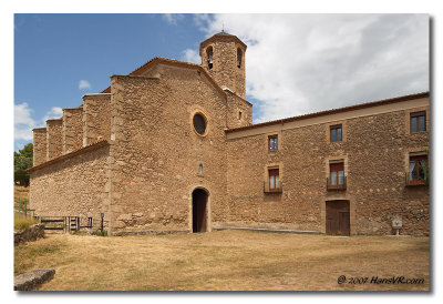
:: The hike to Santuario de Lord :: |
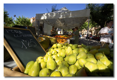
:: Barbecue shopping and around Casa Les Planes :: |
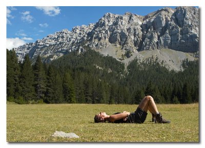
:: The hike to Prat del Cadi :: |
:: Mirador de Serra Seca Y rio Ribera Salada :: |
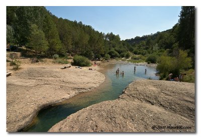
:: The rio de Josa trail in Parc Natural Del Cadí-Moixeró :: |
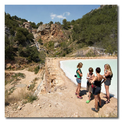
:: Las salinas de Cambrils Y rio Ribera Salada :: |
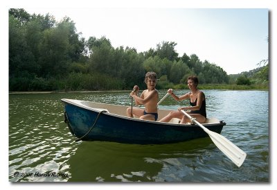
:: Our 2nd stay : Mas Roca del Fluvia :: |
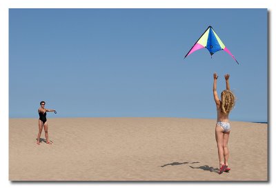
:: Kite fun at the Costa Brava :: |
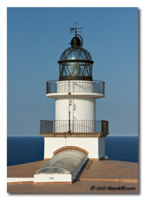
:: Cap de Creus, the last outlet of the Pyrenees :: |
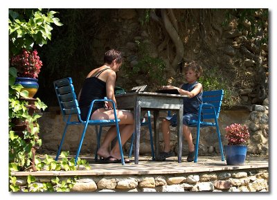
:: In and around Mas Roca del Fluvia :: |

:: Girona :: |
| comment | share |