


|
|
|
|
|
|
| Henk Bril | profile | all galleries >> Astrohistorica (updated 2025) >> Star Atlases and Celestial Maps before 1900 (updated 2025) | tree view | thumbnails | slideshow |
:: Bayer 1624 - 1661 :: |
:: Fortin 1776 :: |
:: Flamsteed 1781 :: |
:: Bode 1782 :: |
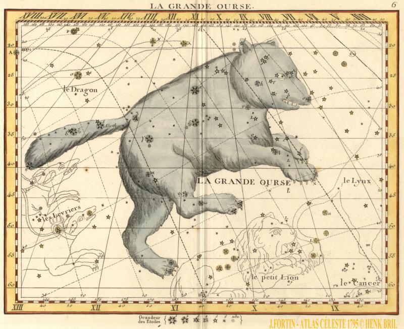
:: Fortin 1795 :: |
:: Goldbach 1799/1803 - updated 2025 :: |
:: Bode 1801 :: |
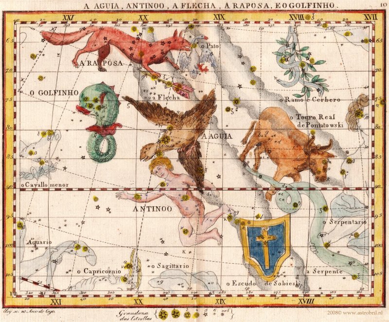
:: Ciera/Villas-Boas 1804 :: |
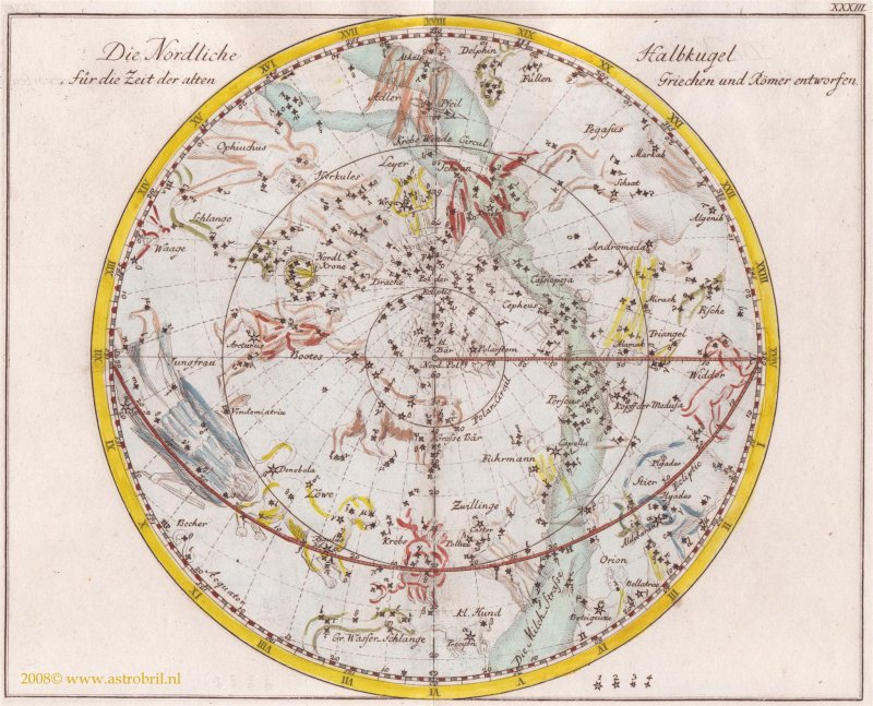
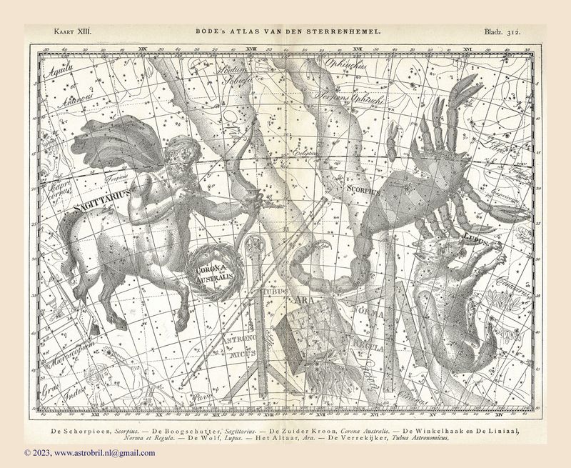
:: Bode 1805 :: |
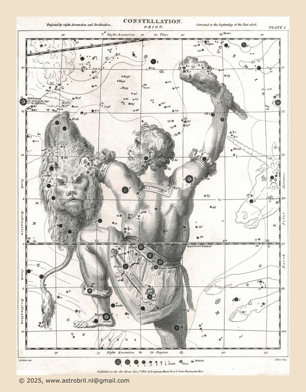
:: Rees (1807/1808) (new 2025) :: |
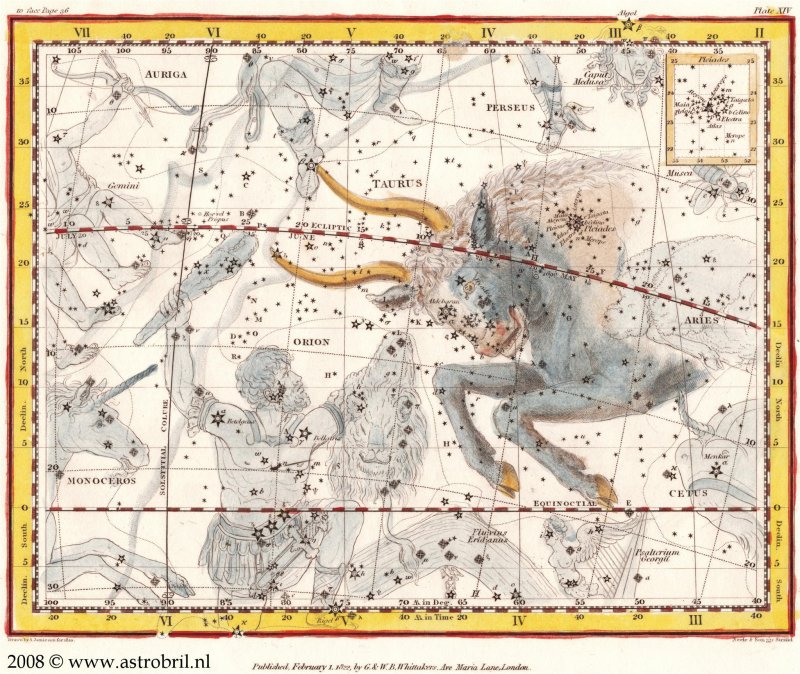
:: Jamieson 1822 :: |
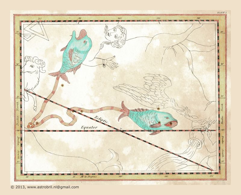
:: Jamieson 1824 (updated 2025) :: |
:: Archer 1833-1834 :: |
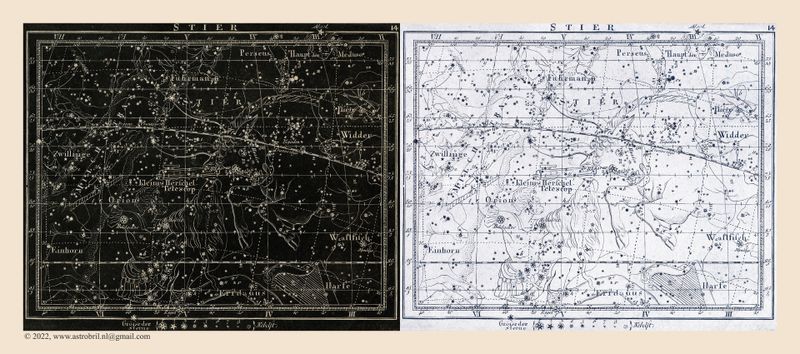
:: Hoffmann 1835 :: |
:: S.D.U.K. 1851 :: |
| comment | share |