


|
|
|
|
|
|
| gtach | profile | all galleries >> :: Running :: >> Marlis' 50 Mile Training Run on the White River 50 Course 6.23.2002 | tree view | thumbnails | slideshow |
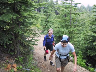
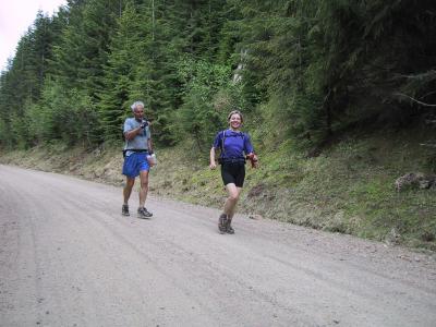
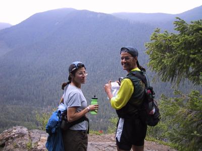 Kat & Tony on the ridge |
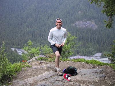 Charlie, overlooking the White River |
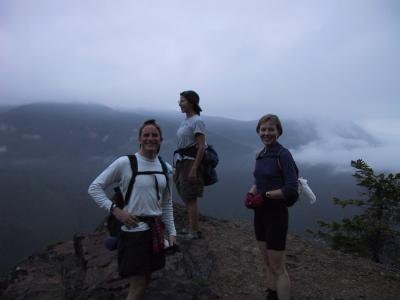
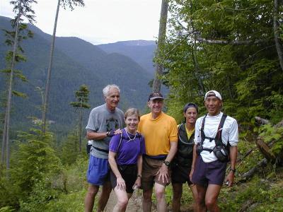
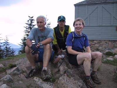
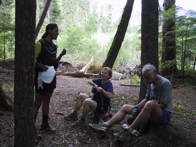
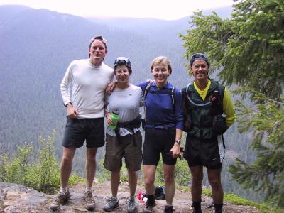 Charlie, Kat, Marlis & Tony |
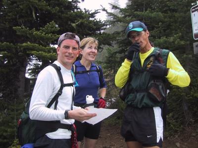
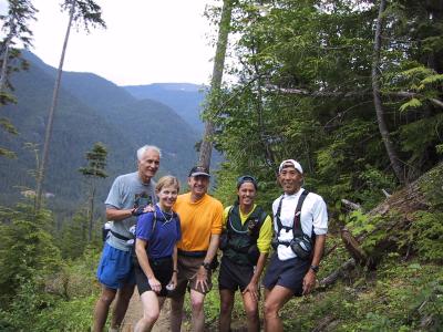
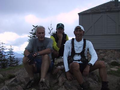
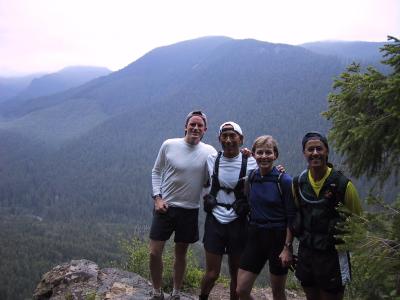 Charlie, me, Marlis & Tony |
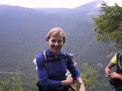 Marlis |
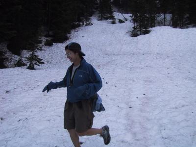
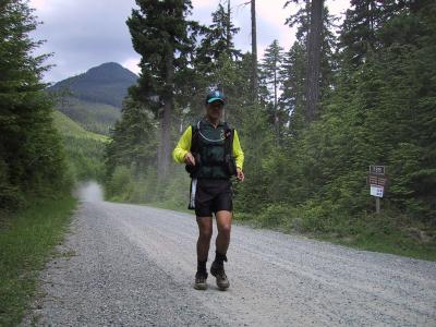
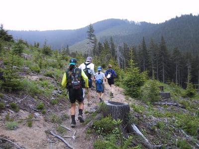 Running the clearcut |
 Charlie, Kat & Marlis |
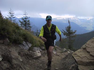
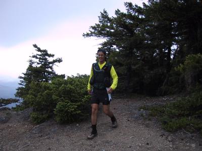 Tony |
 Climb up to Ranger Creek - 11.7 & 22.7 miles on the way back |
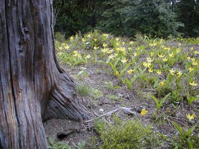 Photo Ron Nicholl took last year. |
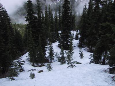
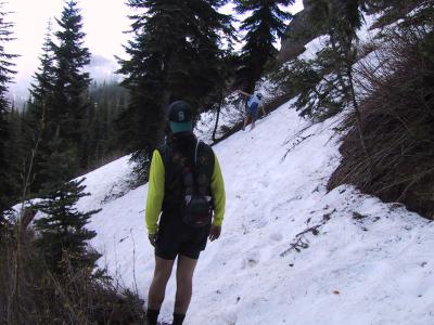 Encountering snow on the way to Corral Pass |
 Traversing snow on a 45 degree slope |
 View of Lost Lake |
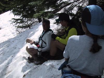 Where are we, Charlie? |
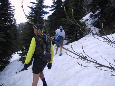
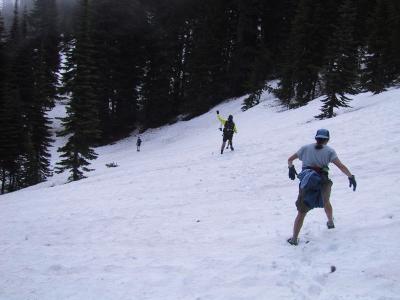 Negotiating the snowfields...weeee!!! |
 Kat |
 Marlis looks in the direction of the snow bound trail to Corral Pass, pondering its accessability |
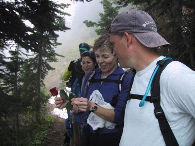 Marlis planned to place a rose at Corral Pass for Tom... |
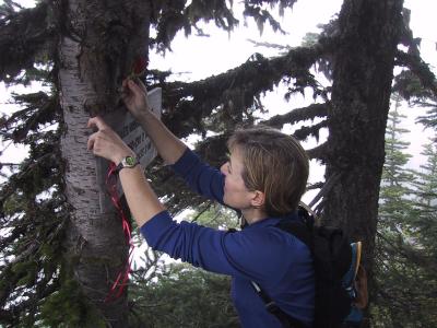 ...but there was too much snow for us to get there... |
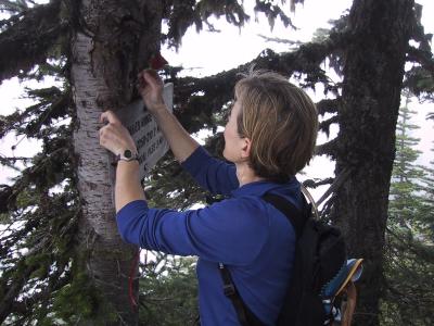 ...so she placed the rose at our turnaround point. |
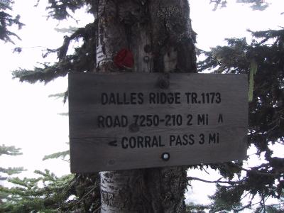 Our turnaround point - three miles from Corral Pass |
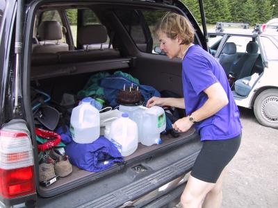 Back at our cars, a birthday celebration |
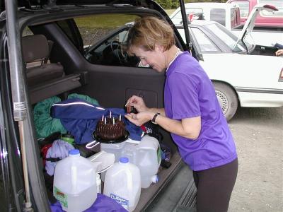 Marlis had all of us make a wish and blow out a candle - Ron Nicholl photo |
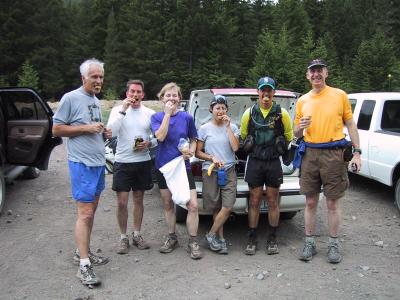 Eating cookies! - John, Charlie, Marlis, Kat, Tony & Ron - Buck Creek 27.5 miles |
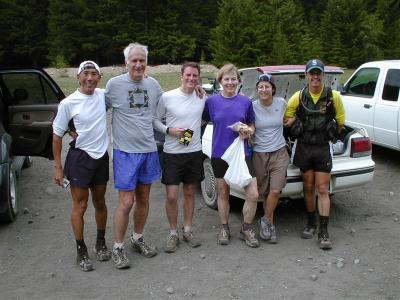 Group shot - Ron Nicholl photo |
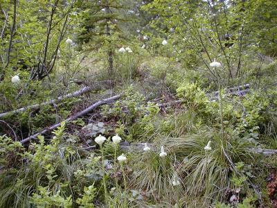 Beargrass on the climb to Fawn Ridge - Ron Nicholl photo |
 Self-timer shot - Ron Nicholl photo |
 Self-timer shot - On the climb up to Fawn Ridge |
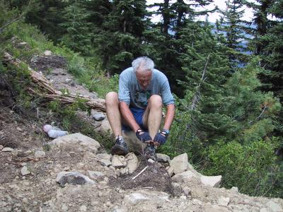 John cleaning out his shoes |
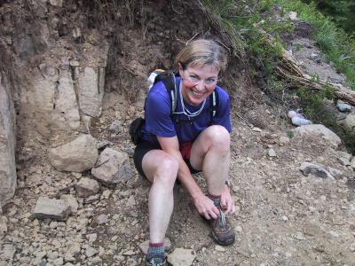 Marlis too |
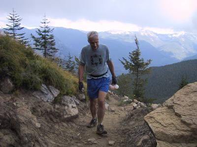
 Me |
 John, approaching the top of Sun Top |
 Tony, powering up to Sun Top |
 The top of Sun Top - 38 miles - John, Tony & Marlis |
 Sun Top - John, Tony & me |
 The 6 mile run down the logging road from Sun Top |
 Tony finishing the downhill logging road |
 Skookum Flats aid station - 44 miles - Thank you Charlie! |
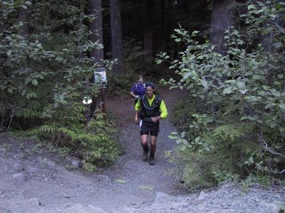 Tony & Marlis emerging from the Skookum Flats Trail - 1/4 mile to the cars to finish |
| comment | share |
| marlis | 10-Jul-2002 02:34 | |