photo sharing and upload picture albums photo forums search pictures popular photos photography help login
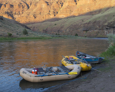
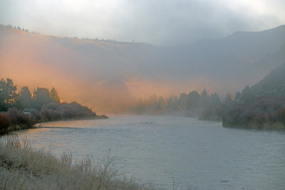
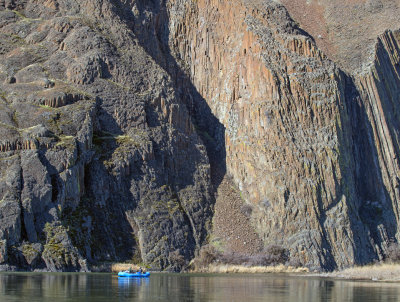
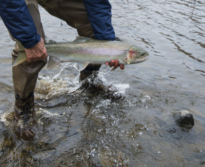
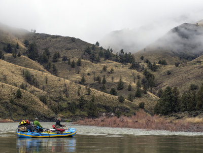
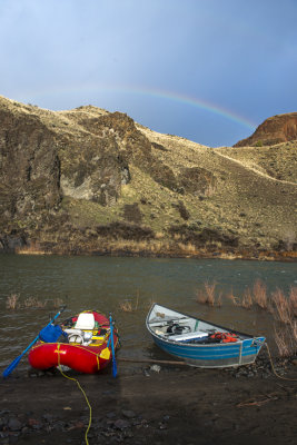
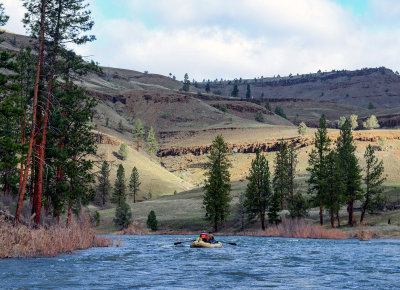
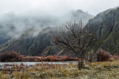
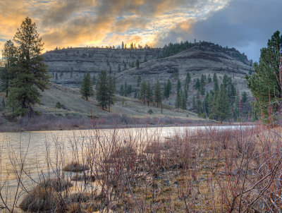
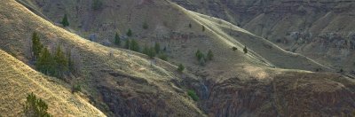
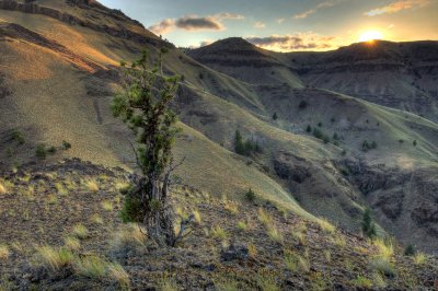
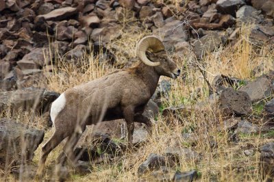
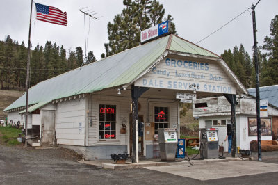
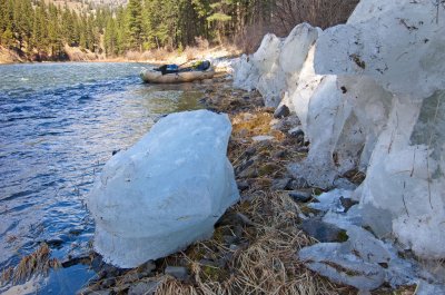
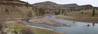
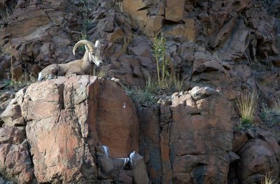
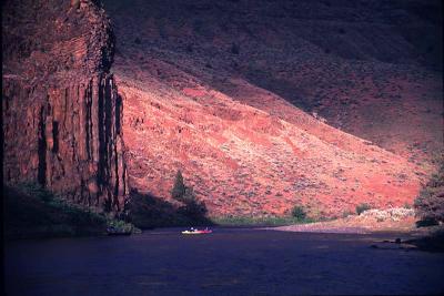
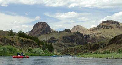
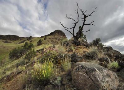
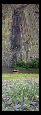
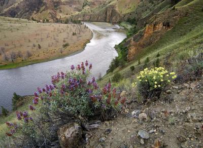
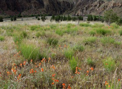
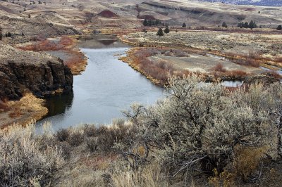
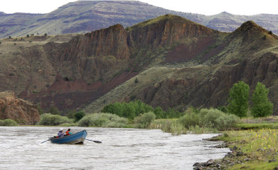
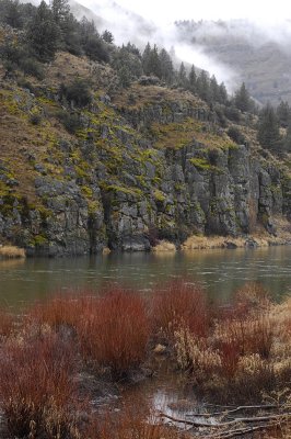
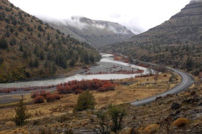
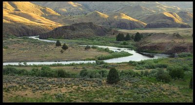
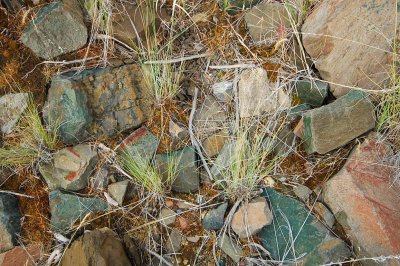
Greg Burke | profile | all galleries >> THE OREGON HIGH DESERT [5 galleries] >> JOHN DAY RIVER gallery tree view | thumbnails | slideshow | map

JOHN DAY RIVER gallery

The John Day river flows, un-dammed, 284 miles from headwaters to the mouth at the Columbia river, It has three main forks and flows primarily out of the Blue mountains of eastern Oregon, The lower section flows through a very deep and grand basalt canyon . These are just a few photos from several float trips done over the years.
Horseshoe Bend  2025 Mule deer crossing river just below Thirtymile cr. The Stair Step Pallisades Basalt Camp
palisades camp bighorn sheep spires folded hills.jpg
Columnar Basalt g9/68/169568/3/163236769.Ctu3jj9a.jpg Horseshoe Bend Camp, John Day  River
John Day  River John Day river wild Steelhead g9/68/169568/3/159116601.kQub5pju.jpg g9/68/169568/3/159116595.CBh8A9Lz.jpg
North Fork John Day River foggy morning at priest hole priest hole / panted hills g2/68/169568/3/149196479.e90u0xei.jpg
John day country john day country 2 bighorn ram Dale Oregon
 river Ice / North Fork John Day River Confluence Panorama,  Middle Fork / North Fork,  John Day River bighorn sheep below hoot owl camp_Panorama
sunrise @ cathedral rock January steelhead float big horn sheep calm reach
hoot owl rock area morning reflection Big Bend / HDR image Dec. steelhead float
J&M painted hills pano John Day R winter painted hill formation John Day R. light
jd rafting ridge hike cathedral rock purple sage and buckwheat
globe mallow priest hole in December below homestead rapid  willows and mist.
jdr above service cr priest hole john day jade