


|
|
|
|
|
|
| Doug Sherman | profile | all galleries >> Geology >> Streams | tree view | thumbnails | slideshow |
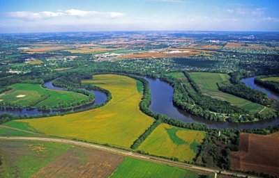 (STRE1) Natural levees along the Rock River, IL |
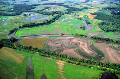
 (STRE2) Oxbow lakes and meander scars on the Pecatonica River, IL |
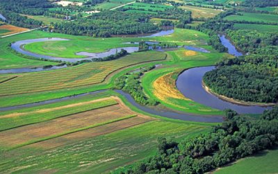
 (STRE3) Pecatonica River floodplain, IL |
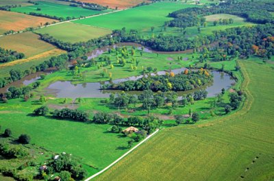 (STRE4) Oxbow lake on floodplain, Pecatonica River, IL |
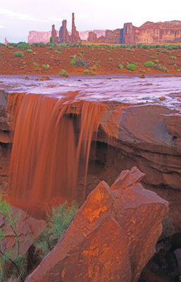 (STRE5) Flash flood at Monument Valley, AZ |
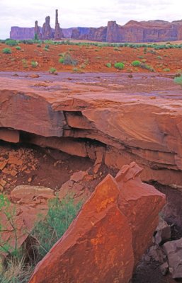 (STRE6) Twenty-four hours after the flash flood at Monument Valley, AZ |
 (STRE7) Levee and gate built to protect town of Galena, IL from flooding. |
 (STRE8) Levee and gate protect Galena, IL from floodwaters of the Galena River. |
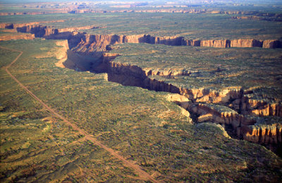
 Bench and cliff topography along the Green River, Canyonlands National Park, UT |
 (STRE10) Stream in which base level has lowered twice, Arches National Park, UT |
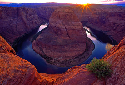 Last light at Horseshoe Bend, an entrenched meander near Page, AZ |
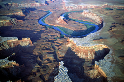
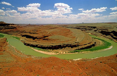
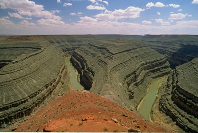 (STR12) Entrenched meanders at Goosenecks State Prk, UT |
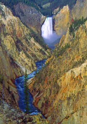 (STRE13) Yellowstone Falls, Yellowstone National Park, WY |
 (STRE14) Channel bar in Colorado River, Canyonlands National Park, UT |
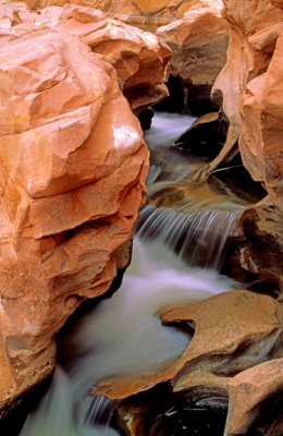
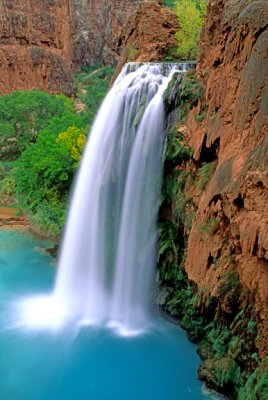 (STRE15) Havasu Falls, AZ |
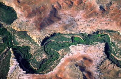
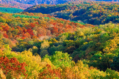
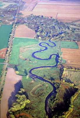 (STRE16) Meander belt of a small stream in southern Wisconsin |
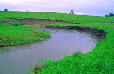 (STRE17) Cutbanks along a small stream, IA |
 (STRE18) Point bar on the San Juan River, Mexican Hat, UT |
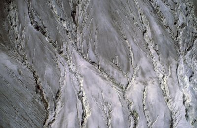
 (STRE19) Initial dissection of a plateau, UT |
 (STRE20) Dendritic drainage on the slopes of Mt. St. Helen's, WA |
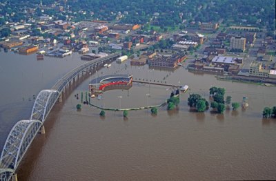 (STRE21) Flooding along the Mssissippi River at John O'Donnell Stadium in Davenport, IA (1993) Now known as Modern Woodman Park |
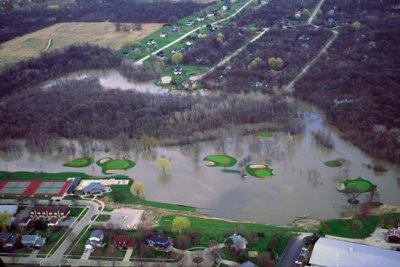 (STRE22) Golf course buffer on floodplain of the Des Plaines River, Libertyville, IL |
 (STRE23) Delta in Lake Delton, WI |
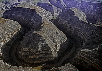 Entrenched meanders at Goosenecks of the San Juan River, UT |
 (STRE25) Stream terraces along the Madison River, MT |
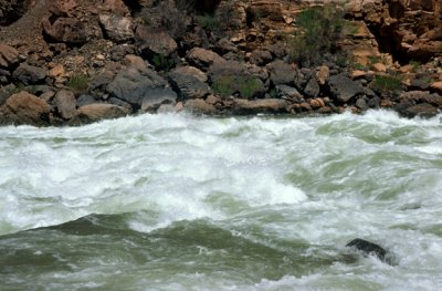 (STRE26) Rapids at Lava Falls, Colorado River, Grand Canyon National Park, CA |
 (STRE27) High drainage density on impervious shale of the Chinle Formation, AZ |
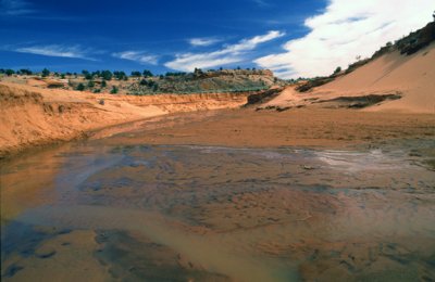 (STRE28) Arroyo with some water flowing after a rain, AZ |
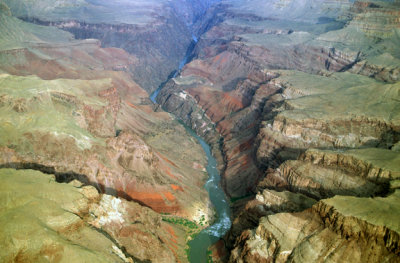 (STRE29) Canyon width as a function of rock resistance, Colorado River, Grand Canyon National Park, AZ |
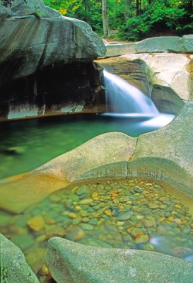
 (STRE30) Potholes on the Fremont River, Capitol Reef National Park, UT |
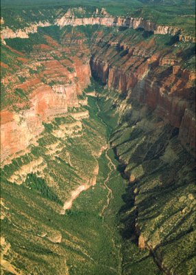 (STRE31) Headward erosion by stream, Grand Canyon National Park, AZ |
 Mature dissection at Brown County State Park, IN |
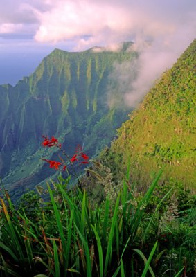 (STRE33) Dissection in a humid tropical climate, Kalalau Valley, Kauai, HI |
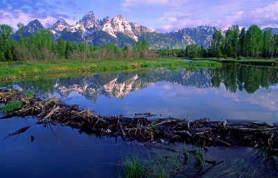 (STRE34) Beaver dam, Grand Teton National Park, WY |
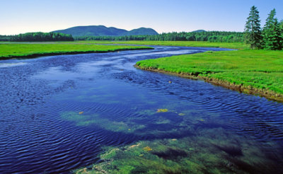 (STRE35) Yellowstone river with broad floodplain, Yellowstone National Park, WY |
 (STRTE36) Potholes (pothole tool in one) in Avalanch Creek, Glacier National Park, MT |
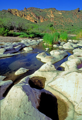 (STRE37) Potholes in the Salt River bed, AZ |
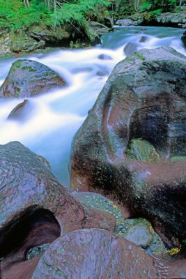
 (STRE 38) Pothole along the Pemigewasset River, Franconia Notch State Park, NH |
 Hanging stream valley, Zion National Park, UT |
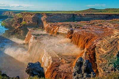
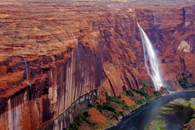 Waterfalls in Glen Canyon after heavy rainfall, AZ |
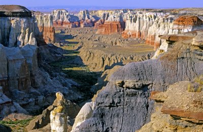 Canyon fill and cut, Coal Mine Canyon, AZ |
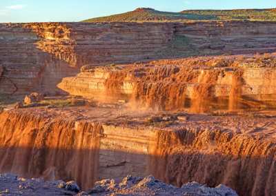 Grand Falls of the Little Colorado River |
 Grand Falls of the Little Colorado River, AZ |
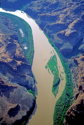
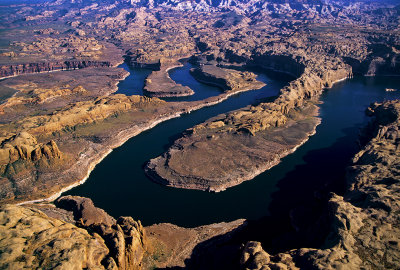 San Juan River as it enters Lake Powell, AZ |
 Entrenched Meanders, Goosenecks State Park, UT |
| comment | share |
| Anna | 23-Oct-2010 09:44 | |