


|
|
|
|
|
|
| Don Boyd | profile | all galleries >> Places Photo Galleries >> Miami Area Images Gallery | tree view | thumbnails | slideshow |
Please also see more photos of the Miami area at https://pbase.com/donboyd/memories_2000andlater
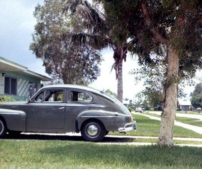 1967 - my Volvo 444 at home in Hialeah |
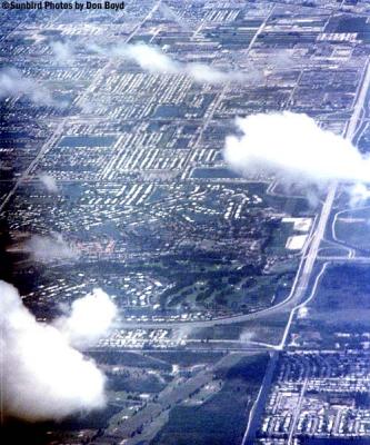 Late 70's? - Miami Lakes looking south from the big bend |
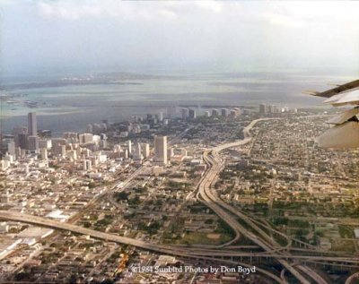 1984 - Downtown Miami from British Aerospace BAe-146-100 G-OPSA demo aircraft |
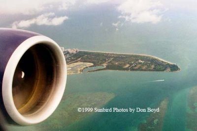 1999 - the southern tip of Key Biscayne and Cape Florida |
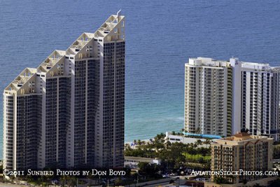 2011 - oceanfront condos |
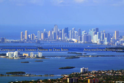
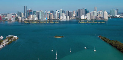
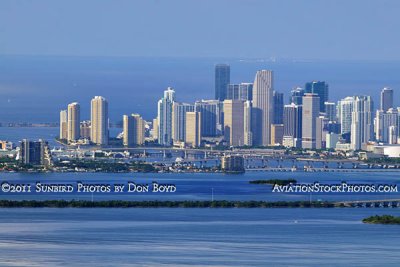 2011 - downtown Miami and Brickell area with Biscayne Bay, Julia Tuttle and Venetian Causeways in the foreground |
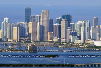 2011 - downtown Miami and Brickell area with Biscayne Bay, Julia Tuttle and Venetian Causeways in the foreground |
 2011 - |
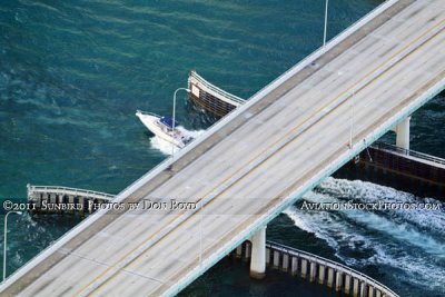 2011 - speedboat going out of Haulover Inlet under the A1A bridge |
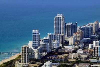 2011 - high rise hotels and condos along the Miami Beach shoreline |
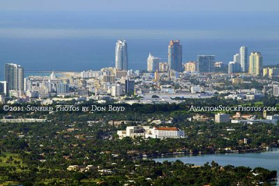
 2011 - Miami Beach in the foreground with Fisher Island, Virginia Key and Key Biscayne in the backgroiund |
 2011 - northern Miami Beach down to the tip of South Beach and Fisher Island at Government Cut |
 2011 - Miami Beach in the foreground with Fisher Island, Virginia Key and Key Biscayne in the backgroiund |
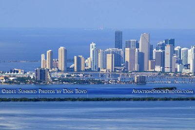 2011 - downtown Miami and Brickell area with Biscayne Bay, Julia Tuttle and Venetian Causeways in the foreground |
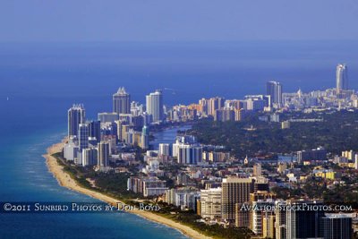 2011 - oceanfront condos and hotels along the Miami Beach shoreline |
 2011 - |
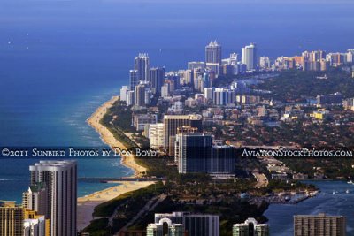
 2011 - aerial view of hotels and condos along the Miami Beach shoreline |
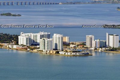
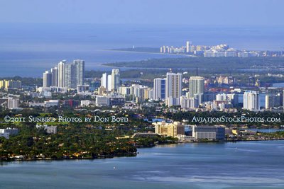
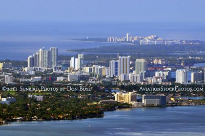
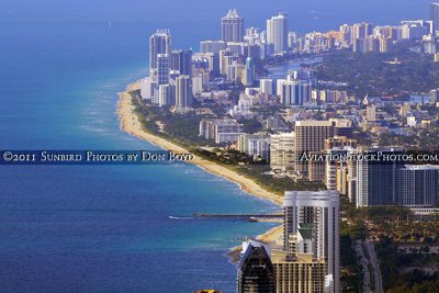
 2011 - aerial view of Sunny Isles Beach, Haulover Park and Inlet and Bal Harbour, Surfside and Miami Beach |
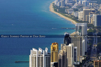
 2011 - aerial view of Sunny Isles Beach, Haulover Park and Inlet and Bal Harbour, Surfside and Miami Beach |
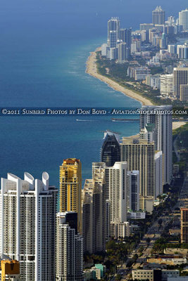
 2011 - aerial view of Sunny Isles Beach, Haulover Park and Inlet, and Bal Harbour, Surfside and Miami Beach |
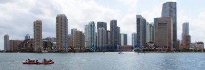 2012 - Two Coast Guard 25-Foot Defender Class Boats patrolling near the mouth of the Miami River, Brickell and downtown area |
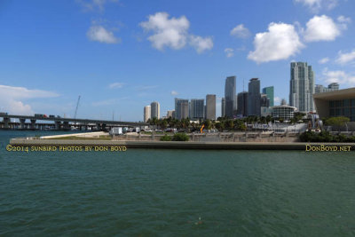 2014 - "Parcel B" that was promised to voters to become a waterfront park east of the American Airlines Arena in downtown Miami |
 January 2015 - the view south from Dadeland Mall just west of the former Burdine's department store (Macy's now) |
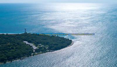 October 2015 - aerial photo of Cape Florida Lighthouse at Bill Baggs State Park on Key Biscayne |
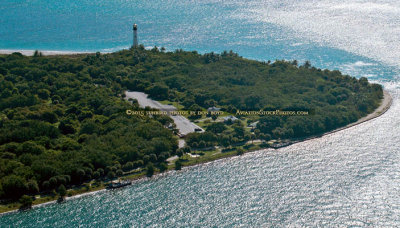 October 2015 - closeup aerial photo of Cape Florida Lighthouse at Bill Baggs State Park on Key Biscayne |
 2015 - Rusty Pelican on left, Brickell and downtown Miami skyscrapers in the background |
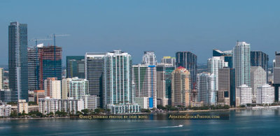 2015 - skyscrapers in the Brickell area south of downtown Miami |
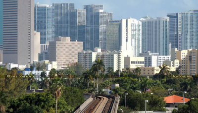
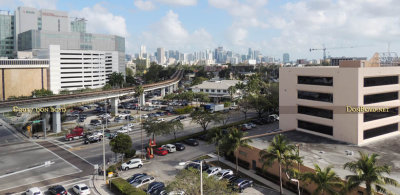 2017 - Downtown Miami and the Brickell area from the top of the University of Miami Hospital parking garage |
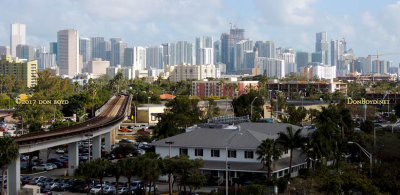 2017 - Downtown Miami and the Brickell area from the top of the University of Miami Hospital parking garage |
 2017 - Downtown Miami and the Brickell area from the top of the University of Miami Hospital parking garage |
| comment | share |