


|
|
|
|
|
|
| Don Boyd | profile | all galleries >> Places Photo Galleries >> Aerial Photos Gallery - if not in specific location galleries already | tree view | thumbnails | slideshow |
Our Cape Canaveral - Space Coast aerial stock photos are located at https://pbase.com/airlinerphotos/aerials_spacecoast
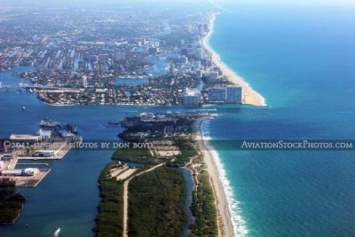
Broward County, Ft. Lauderdale and surrounding areas Aerial Photos Gallery - click on image to enter |
 1999 - NAS Key West at Boca Chica, north of Key West |
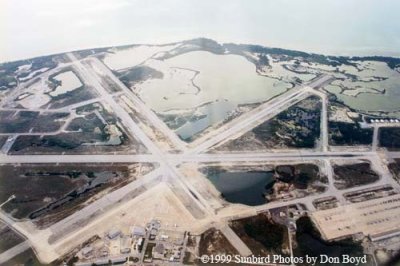
 1999 - Key West International Airport |
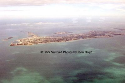
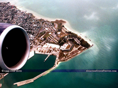 1999 - aerial view of the southern tip of Key West with the harbor, Ft. Zachary Taylor and NAS Key West Truman Annex |
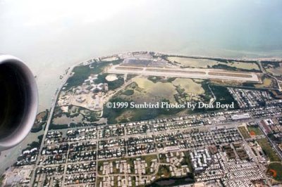
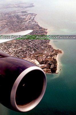 1999 - aerial view of the southern tip of Key West with airports in the background |
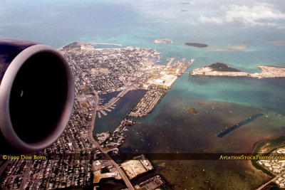
 1999 - aerial view of Key West from the east |
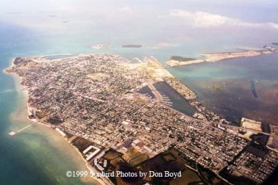 1999 - aerial photo of Key West |
 1999 - aerial photo of Key West |
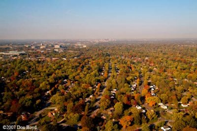 2007 - changing leaves with downtown Nashville in the background |
 2007 - aerial view of Grassy Key and Hog Island, Florida, on the left side, un-named island on the right |
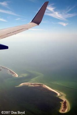
 2007 - Tarpon Springs and Anclote Keys, Florida |
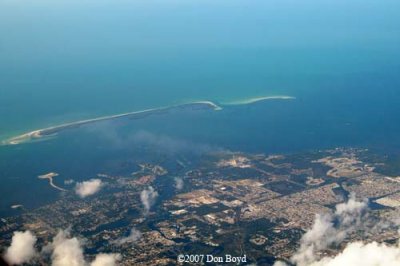
 2007 - the southern portion of St. Petersburg, Florida |
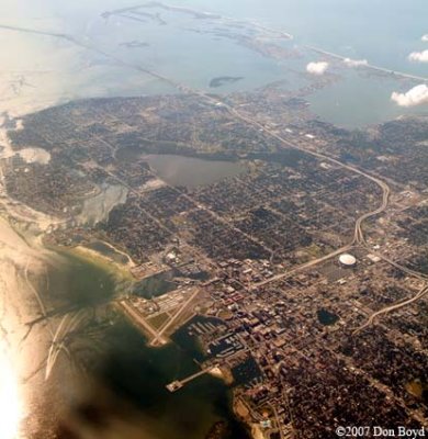
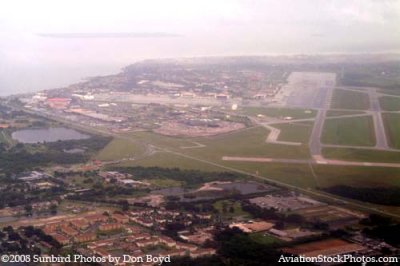 2008 - the northern part of MacDill AFB just south of Tampa |
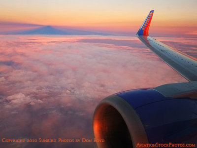 2010 - nicely lit clouds shortly before sunset while inflight |
 2010 - nicely lit clouds shortly before sunset while inflight |
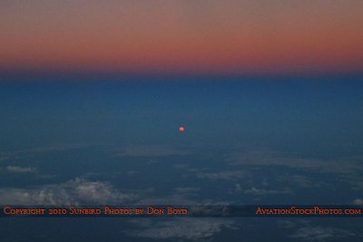 2010 - the Harvest Moon rising at the same time the sun was setting while inflight |
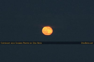 2010 - the Harvest Moon rising as seen from Southwest flight 2380 from FLL to BNA |
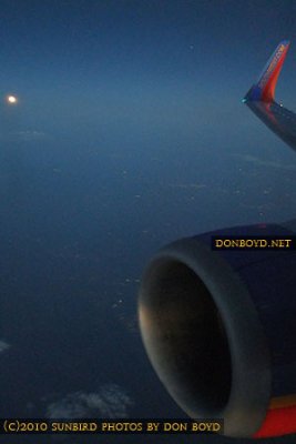 2010 - the Harvest Moon rising as seen from Southwest flight 2380 from FLL to BNA |
 2010 - the Harvest Moon rising as seen from Southwest flight 2380 from FLL to BNA (composite image) |
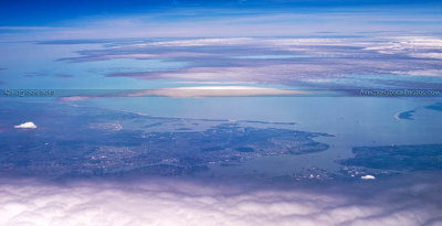 2015 - aerial photo of the New York City area from north to south |
 2015 - aerial photo of the New York City area cropped |
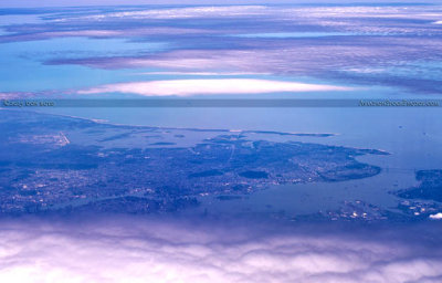
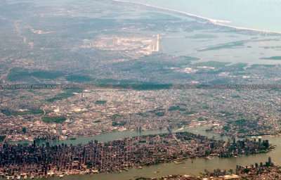
 2015 - aerial photo of eastern New Jersey and the New York City area |
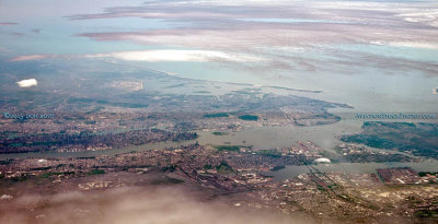
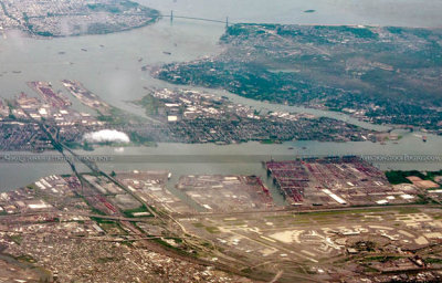 2015 - aerial photo of the Newark International Airport area from the west |
 2015 - aerial photo of lower Manhattan with JFK International Airport in the background |
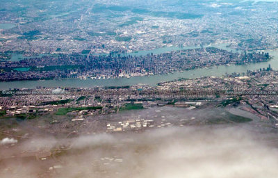 2015 - aerial photo of eastern New Jersey and Manhattan |
| comment | share |