


|
|
|
|
|
|
| C. G. Anderson | profile | all galleries >> Caves and Caving >> Webster Cave Complex Imagery and Visual Trip Reports >> Webster Cave Complex Visual Trip Reports >> North Bore Survey Trip, Webster Cave System, KY (US) | tree view | thumbnails | slideshow |
| previous page | pages 1 2 ALL | next page |
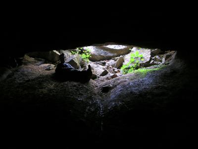 Steve O'nan at Webster's Main Entrance |
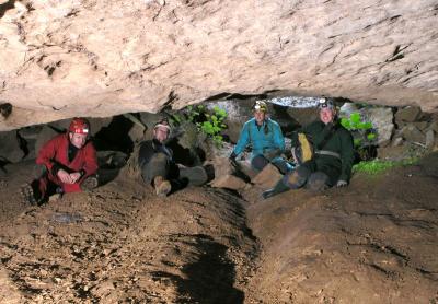
North Bore Survey Team |
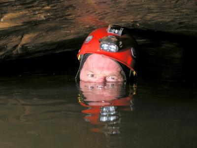
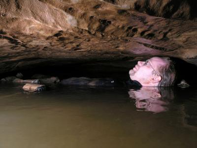
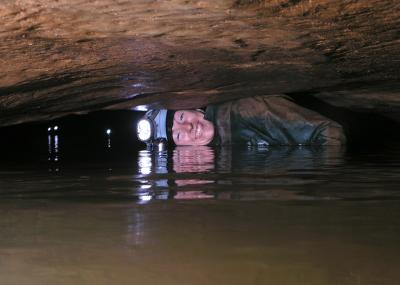 Andrea Negotiates the Mulu Sump |
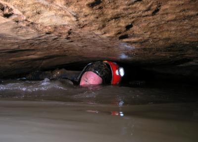
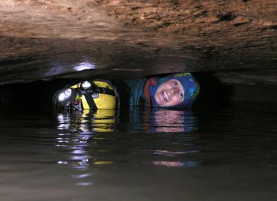 Melissa Sumping |
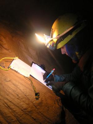
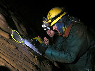
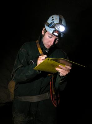
Melissa Taking Notes |
 Melissa and Andrea |
 Andrea Sketching |
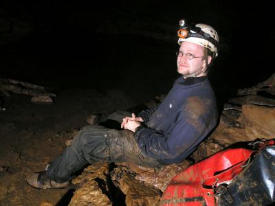 Steve in Repose |
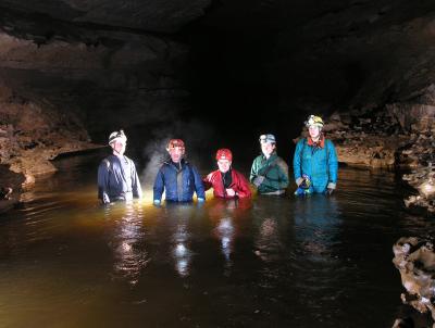
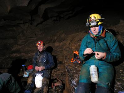 Lunch Break at Mulu |
 Casual Steve |
 Violent Pat |
Patience |
| previous page | pages 1 2 ALL | next page |
| comment | share |