


|
|
|
|
|
|
| Bryan Murahashi | profile | all galleries >> 2010 Adventures >> Nov 12 - Backpacking at Henry Coe State Park | tree view | thumbnails | slideshow | map |
 Starting at the Hunting Hollow Trail Parking Lot |
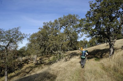
 On the Hunting Hollow Road |
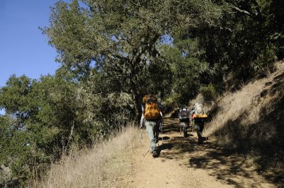
 Under the Moss |
 Taking a break |
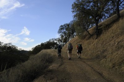
 Hiking up on the Wagon Road |
 On the Wagon Road |
 Nice Barn |
 Checking the map |
 Seeds |
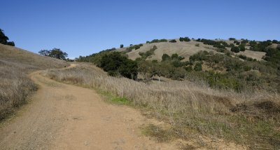 Rolling Wagon Road |
 Wagon Road |
 Lunch at Wilson Camp |
 View of the Monterey Bay |
 Sunset Shadows |
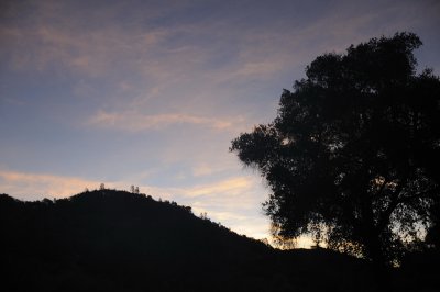
 Sunset Colors |
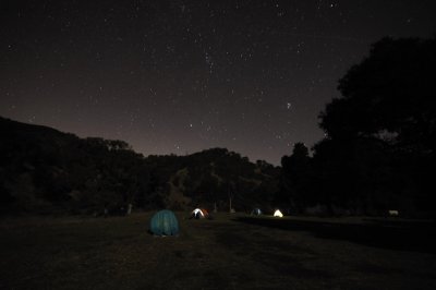 Starry Night at Pacheco Camp |
 The Milky Way |
 Google Map of our first day hike |
 Day 1 - Profile Map |
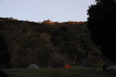
 Da y2 - Morning at Pacheco Camp |
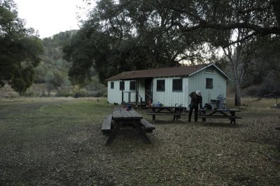 Pacheco Camp |
 Sunrise at Pacheco Camp |
 Red Tailed Hawk |
 California Buckeyes |
 Red Tailed Hawk |
 Checking the trail sign |
 On The Trail |
 On The Trail |
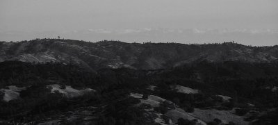 Snowy Sierras |
 On The Trail |
 AT the Airfield |
 Meeting the volunteer Trail Crews |
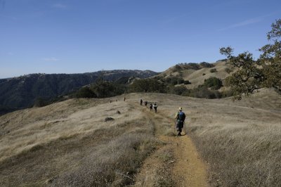
 Along the rolling Ridge |
 A nice Lunch spot |
 On The Trail |
 Splitting up |
 Heading back to the camp site |
 Back to the campsite. |
 Day 2 - Google Map |
 Da y2 - Profile Map |
 Sunrise at Pacheco Camp |
 Morning at the Pacheco Camp site |
 Acorn Woodpecker |
 Breaking Camp |
 Back On The Trail |
 Nice View |
 Still climbing |
 View of Coit Lake |
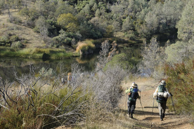 Approaching Coit Lake |
 Coit Lake |
 At Kelly Lake |
 Kelly Lake |
 Steep Climb |
 View of Mount Hamilton |
 Lick Observatory on Mount Hamilton |
 Near the top |
 And on the long descent |
 Still going down |
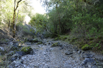 Dry creek crossing |
 On the Road |
 Day 3 - Google Map |
 Day 3 - Profile Map |
| Karen Stuebing | 04-Jun-2011 22:11 | |