


|
|
|
|
|
|
| Brian Dickson | profile | all galleries >> Galleries >> Pyrenees 2015 | tree view | thumbnails | slideshow |
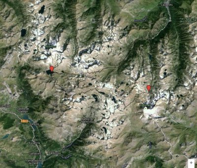
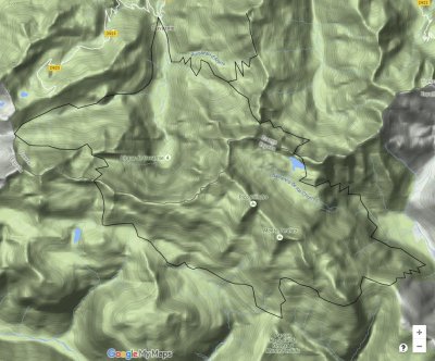 Gavarnie loop map- our first hike |
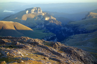
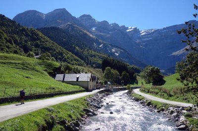 Setting off from Gavarnie with the Cirque de Gavarnie in the background |
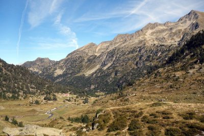
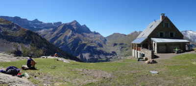 Refuge des Espuguettes |
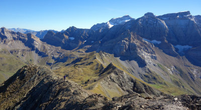
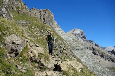
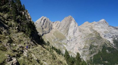
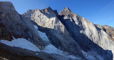
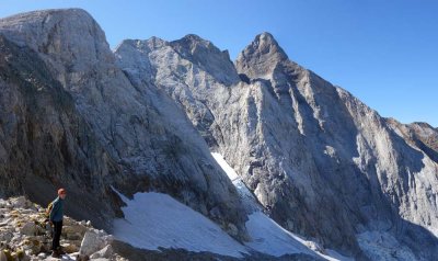
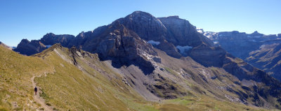 Heading north up towards Pimene peak |
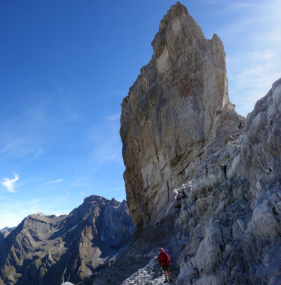
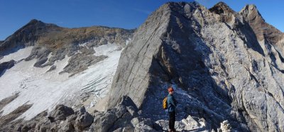
 Steve on Pimene's ridge |
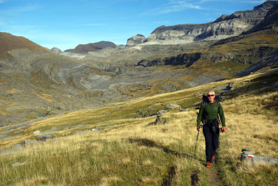
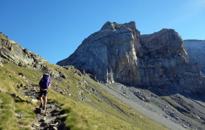 Heading to the Hourquette d'Alans |
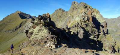 Hourquette d'Alans |
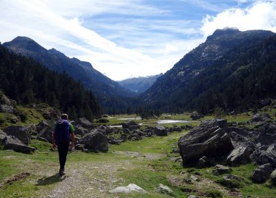
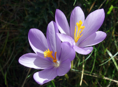
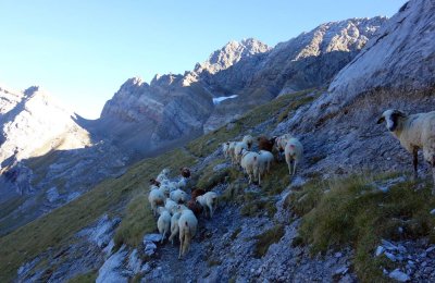 Sheep in Cirque d'Estaube |
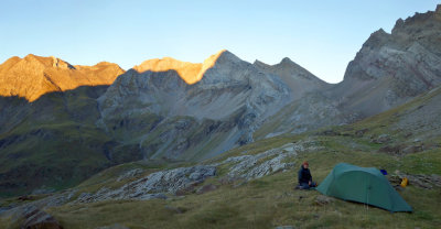 Sep 2015 First camp in Cirque d'Estaube looking east |
 Cirque d'Estaube looking west |
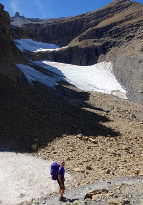
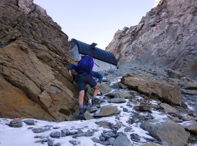 Icy slopes up to bivouacTucarroya |
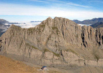
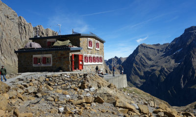
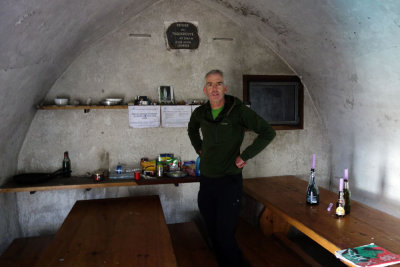 Tucarroya refuge on the French/Spanish border |
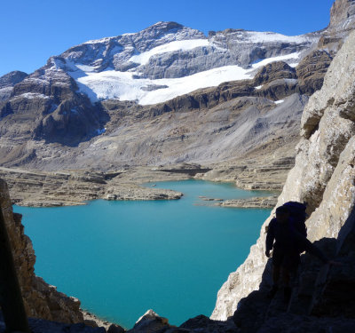
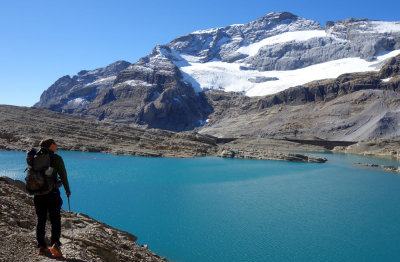
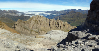
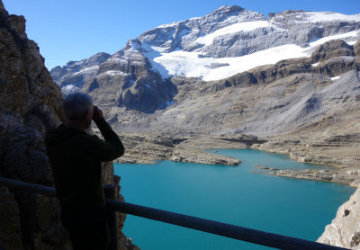 Looking to Lago de Marbore and Monte Perdido |
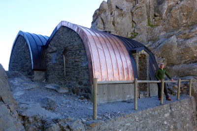 Tucarroya refuge |
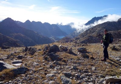
 Looking back down into France from Tucarroya refuge |
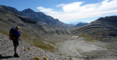
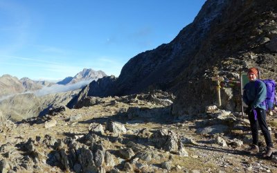
 Descending into Spain towards Monte Perdido |
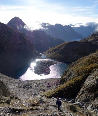
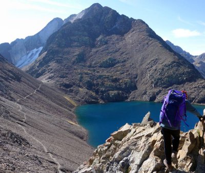
 Lago de Marbore |
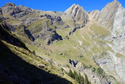
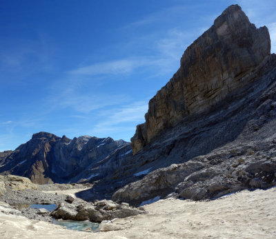
 Circo de Pinela |
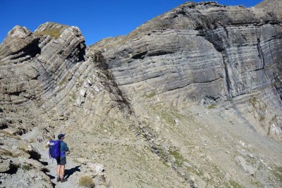
 Faja de la Tarmosa |
 Faja de la Tarmosa balcony trail above Val de Pineta |
 Faja de la Tarmosa balcony trail above Val de Pineta |
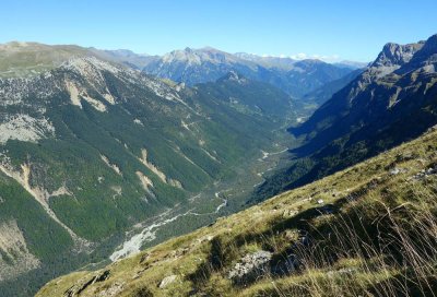 Val de Pineta |
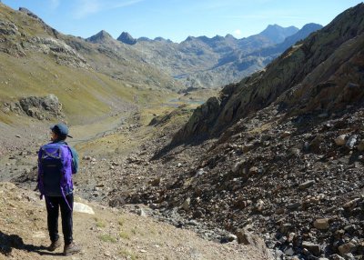
 Above Val de Aniselo |
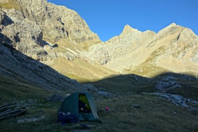
 Sep 2015 Spanish Pyrenees- 2nd camp on southern slopes of Perdido |
 Looking down from camp to Val de Aniselo |
 Ascending west from the Goriz hut in Spain |
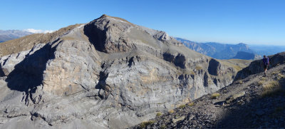
 Plano de Millaris |
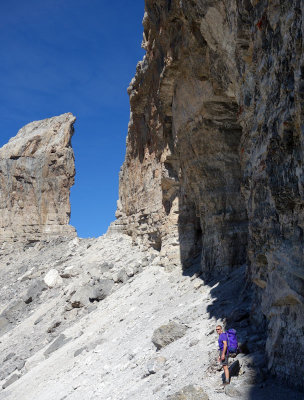 Approaching the Breche de Rolland |
 North from the Breche into France |
 On the French side of the Breche |
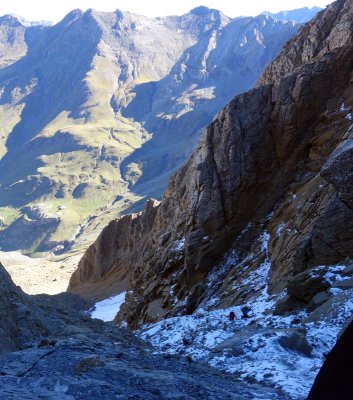
 Below the Breche looking to Gavarnie |
 Refuge de Sarradets |
 Refuge de Sarradets |
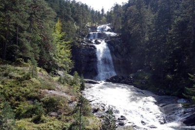
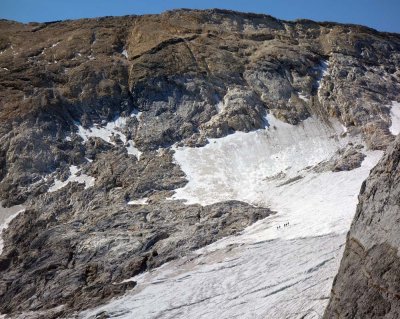
 The remains of Glacier du Tallon |
 Val Aspe in France |
 Val Aspe and the last hour or so to Gavarnie |
 Vignemale 3 day loop- our 2nd hike |
 Pont d'Espagne- 2nd hike (Start in France) |
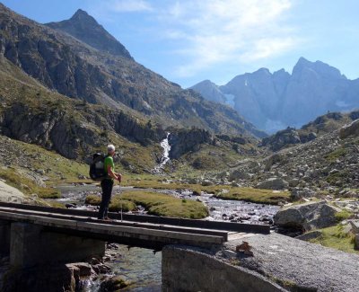
 Valle de Marcadua |
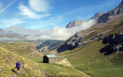
 The Wallon refuge |
 Col de Facha (France/Spain border) |
 |
 Col de Facha |
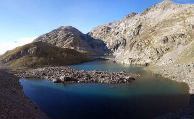
 Lakes west of Grand Fache |
 Lakes west of Grand Fache |
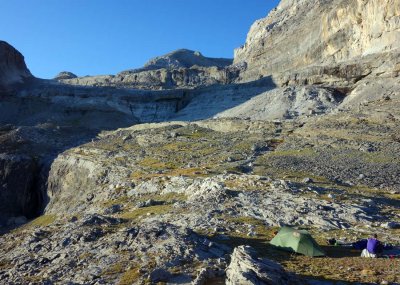
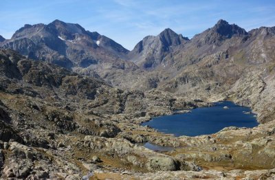
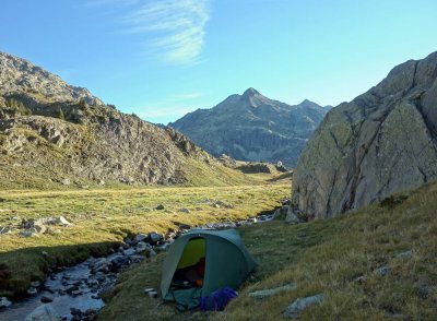 First camp in the Respomuso basin (Spain) |
 Col de Tebarray looking to Picos de Infierno |
 Looking east from Col de Infierno |
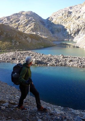
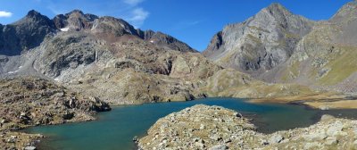 Lakes east of Picos de Infierno |
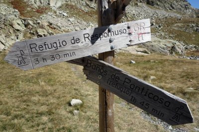 Ragged signpost |
 Looking west over Embalse de Bramatuuero Bajo |
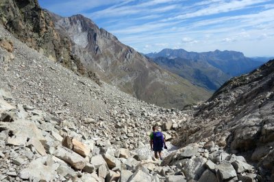 Descending east from Collado del Letrero |
 Iban de los Batans |
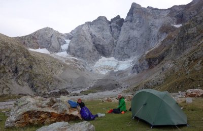 Camp on the alluvial plain below Vignamele's north face |
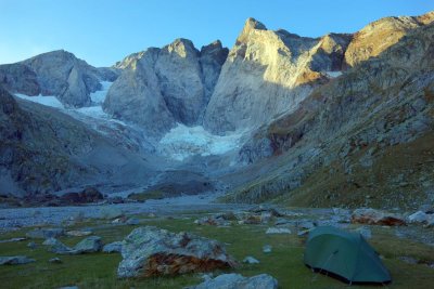 Vignamele north face |
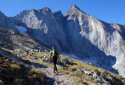 Hiking up towards Vignamele |
 Vignamele |
 From Petite Vignamele |
 Vignamele |
 Group descending Vignamele normal route |
 Vignamele |
 Looking back from Vallee de Gaube |
| comment | share |