


|
|
|
|
|
|
| Kazuo Lim Khee Boon | profile | all galleries >> My Trekking Rendezvous >> G10 Of Peninsula Malaysia >> Mt. Yong Yap | tree view | thumbnails | slideshow |
Mt. Yong Yap
| Elevation | 2,168 m (7,227 ft) |
| Location | Perak |
| Country | Malaysia |
| Type | Titiwangsa Range |
| Difficulty | Tough |
| Latest Attempt | 26th July 2008 |
 |
Looking for any suitable photos for yourself, business, book publication or etc? Click HERE [Boon's Gallery] to purchase now |
 |
Visit Shaun's blog about his mountain adventures here |
 |
Visit Shaun's blog about his running escapades here |
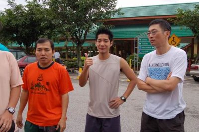
Gunung Semanggol Rest Area |
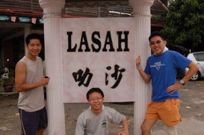
Lasah |
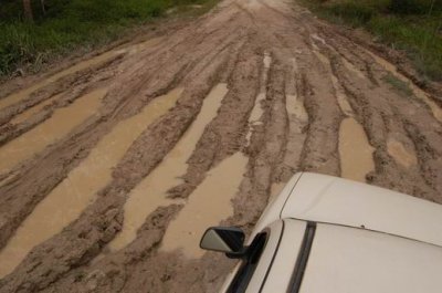
En Route To Kuala Mu |
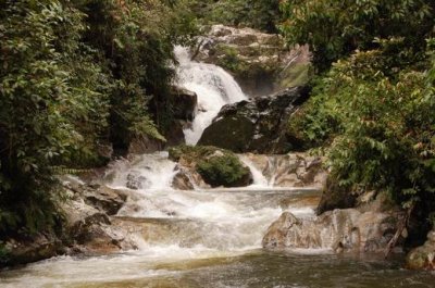
Kuala Mu |
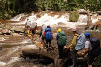
En Route To Base Camp |
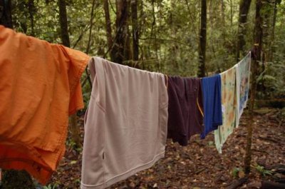
Base Camp |
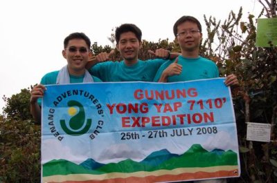
Mt. Yong Yap Summit |
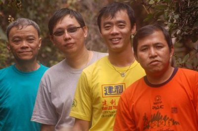
Mt. Yong Yap Adventurers |
| comment | share |
| Zaidi | 05-Aug-2008 09:03 | |
| Kazuo Lim Khee Boon | 01-Aug-2008 07:38 | |
| Shaun Yap | 01-Aug-2008 05:01 | |