


|
|
|
|
|
|
| Brian McMorrow | profile | all galleries >> Subsaharan Africa >> Mali >> Western Mali - Diamou to Kita | tree view | thumbnails | slideshow |
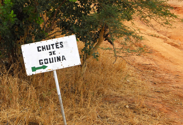 Sign for the Chutes de Gouina, waterfalls on the Senegal River, Western Mali |
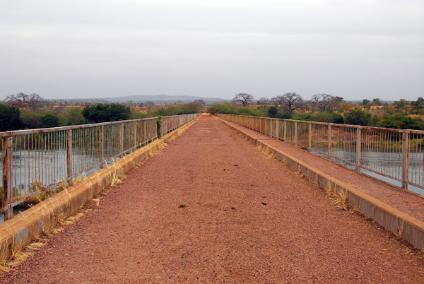 Bridge across the Senegal River between Diamou and Sťlinkťgni, Mali |
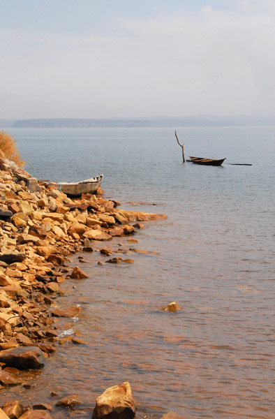
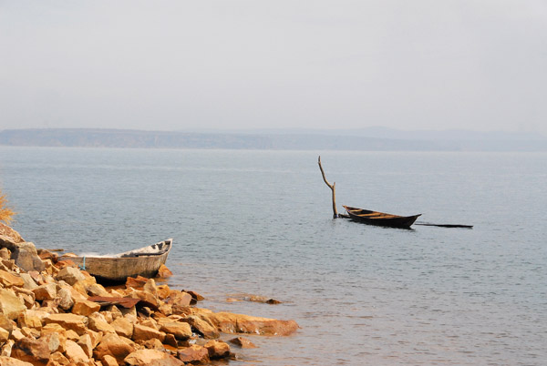
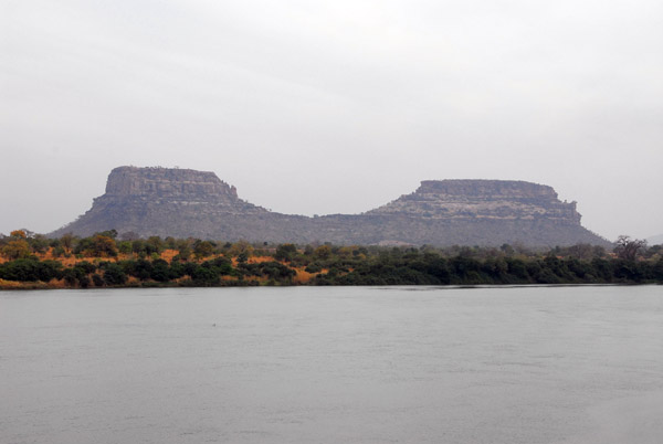 Buttes across the Senegal River from Diamou, Mali |
 View of the Senegal River from the Diamou Bridge, Mali |
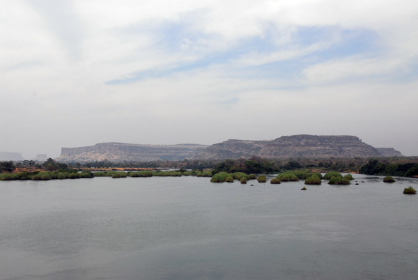 View of the plateaux near Diamou seen from the bridge |
 View from the Senegal River bridge at Diamou |
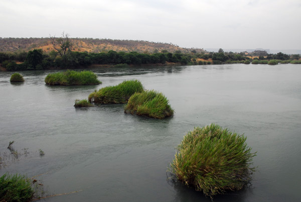
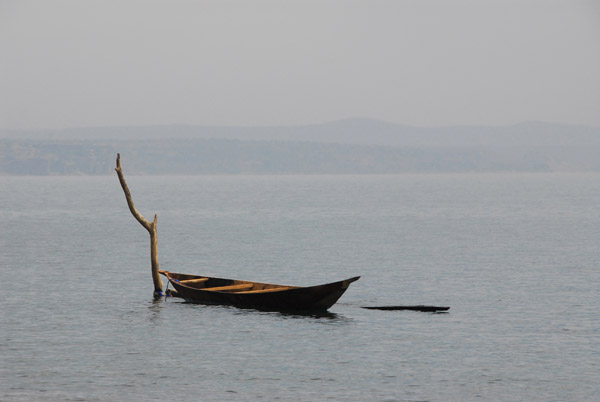
 Senegal River by Diamou, Mali |
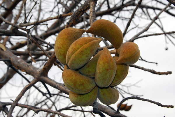
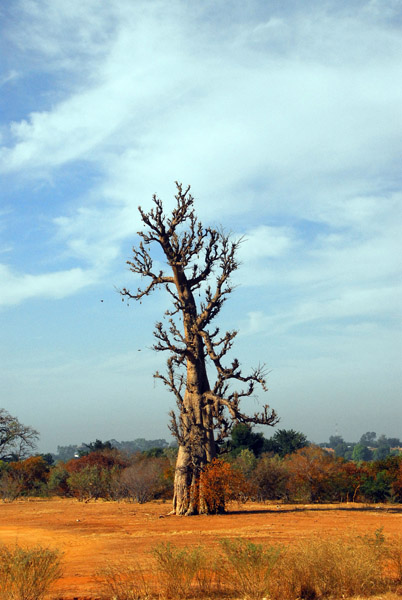
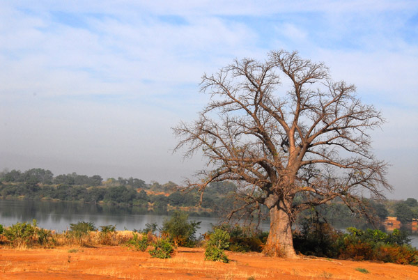
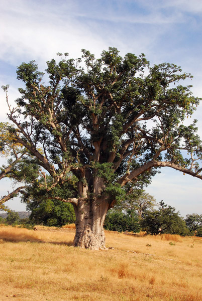
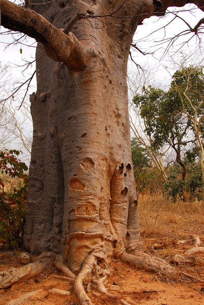 Baobab at our noontime picnic site |
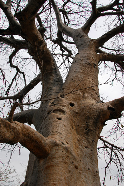 Baobab, Mali |
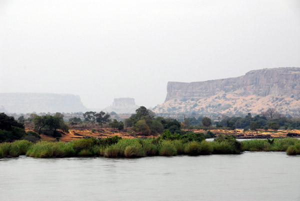
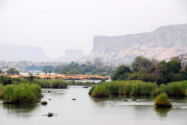
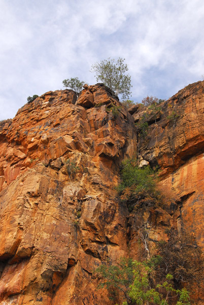
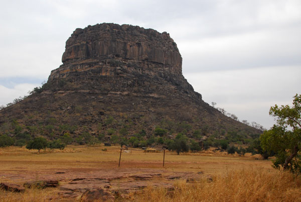 Mesa in western Mali between Diamou and Sťlinkťgni |
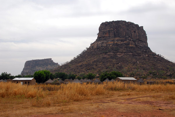 Mesa, Western Mali |
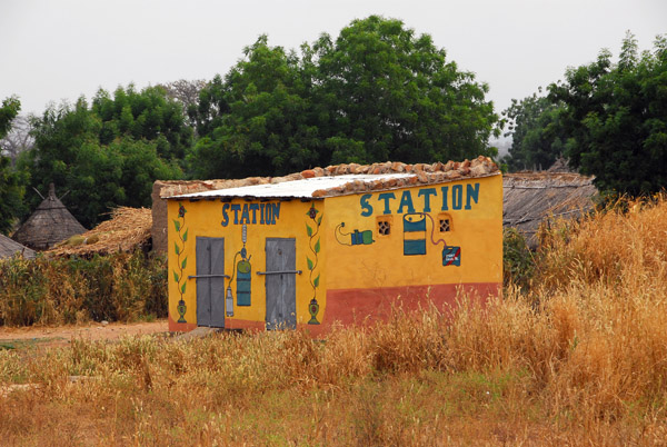 Gas station in Mali which uses fuel drums |
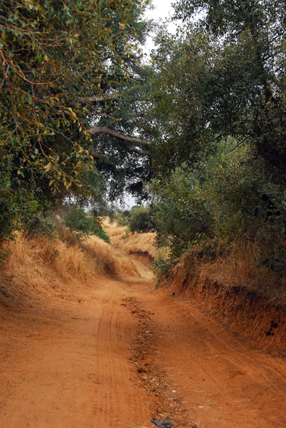
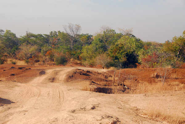
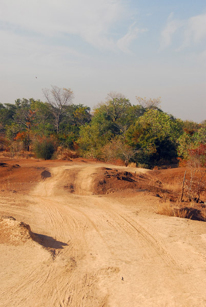
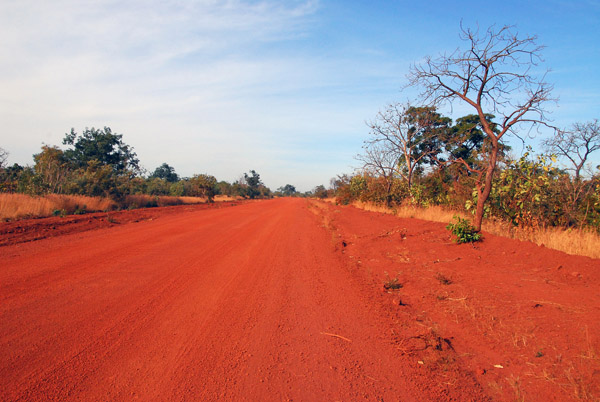
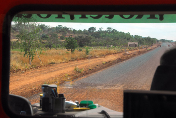
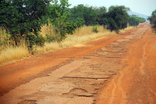 The poorly maintained road between between Diamou and Sťlinkťgni, Mali |
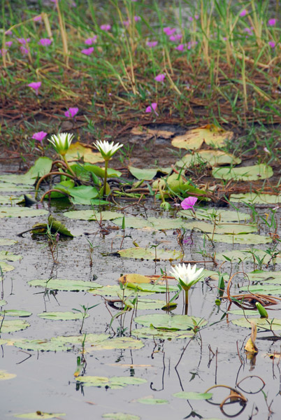 Lilly pad covered pond, Mali |
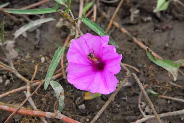 Pretty flower near the pond (I'm not a botanist...) |
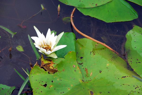 Lily pad and flower, Mali |
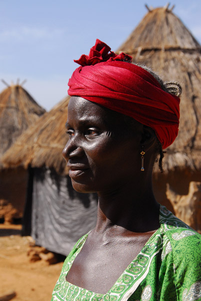
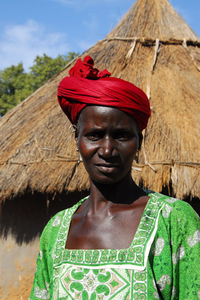
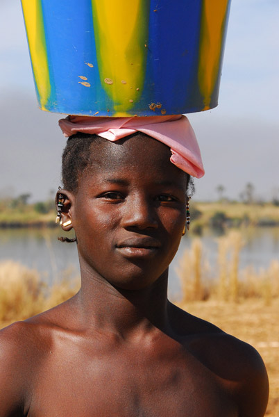
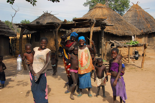
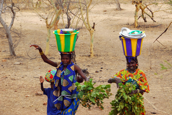 A pair women in brightly colored clothing carrying buckets of dishes |
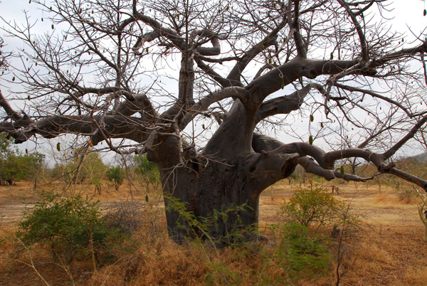 Baobab, Mali |
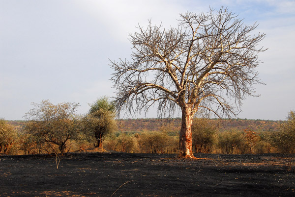
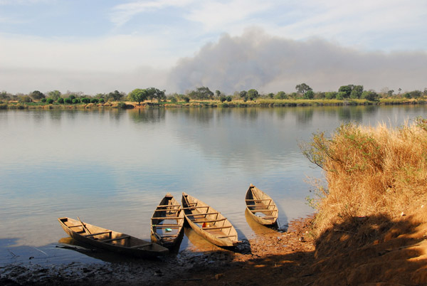
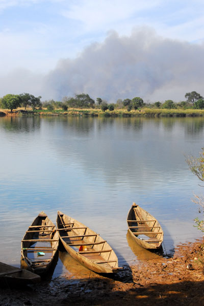
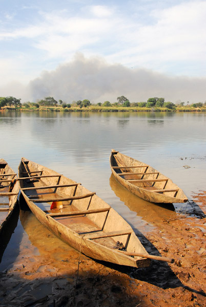
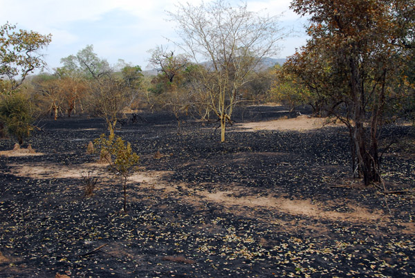 Site of a recent bush fire |
 MaliNov06 478.jpg |
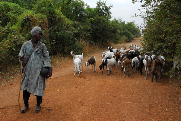
 Goatherder along the Diamou-Sťlinkťgni track |
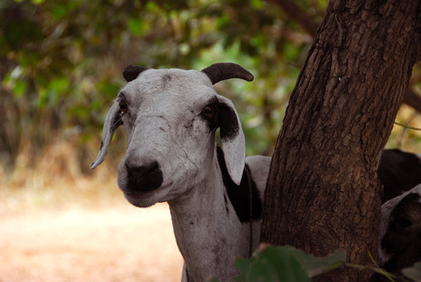 One of the goatherder's charges |
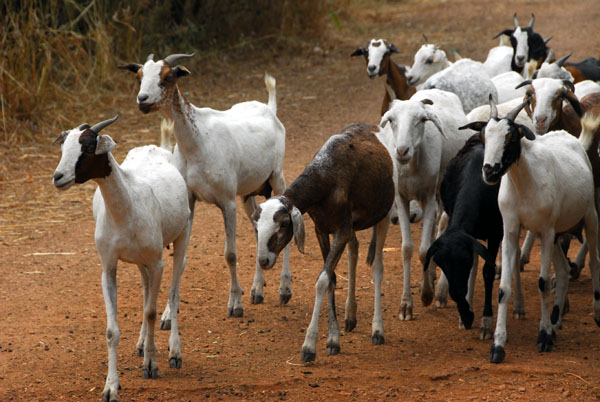 A couple of clicks and he summoned the herd |
 The goatherd's flock emerging from the bushes on command |
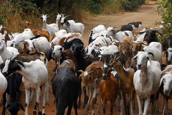 This really amazing encounter was on the road between Diamou and Sťlinkťgni |
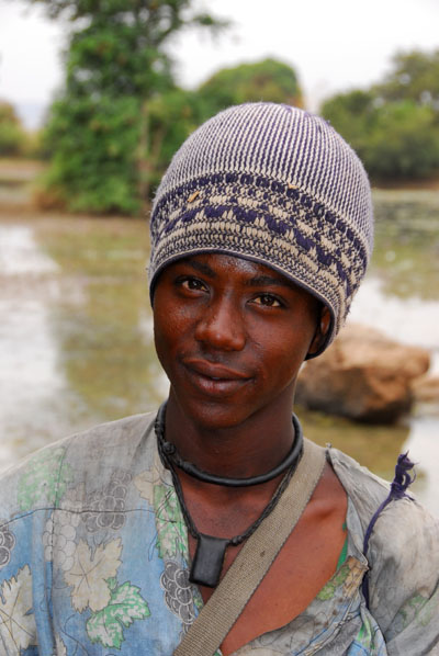
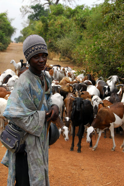 Goatherder in Western Mali |
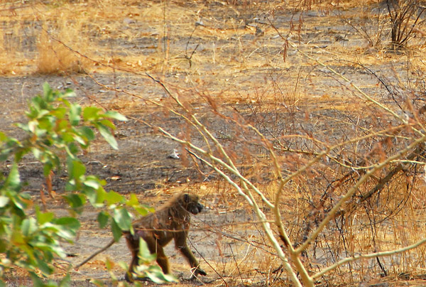 One of the rare wildlife sightings. The truck rolled on.... |
 Potty break in the bush, Mali |
 German nationality sticker covered with dust on our vehicle |
 MaliNov06 494.jpg |
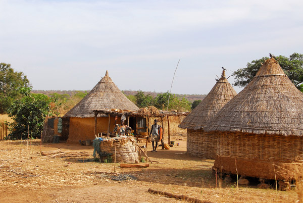
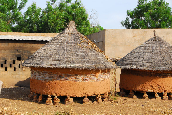
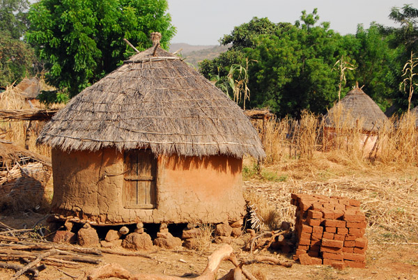
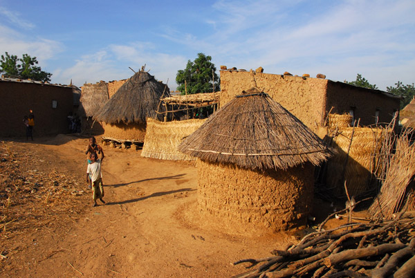
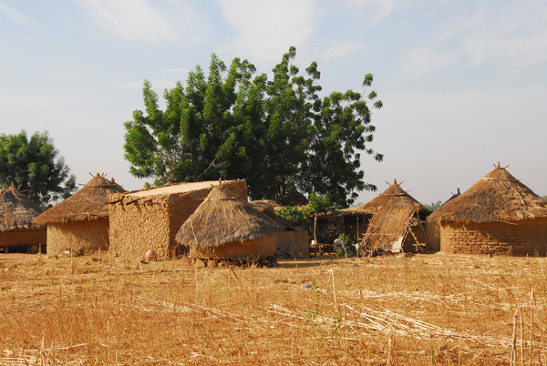
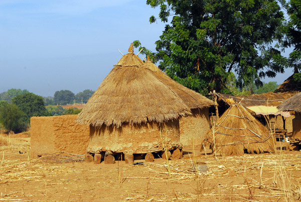
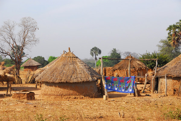
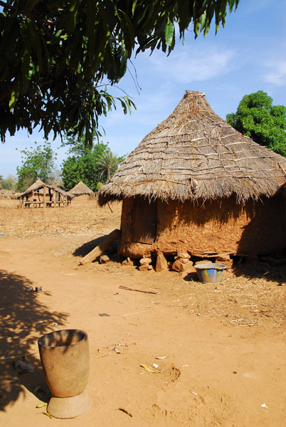
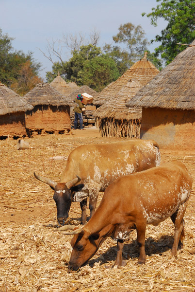
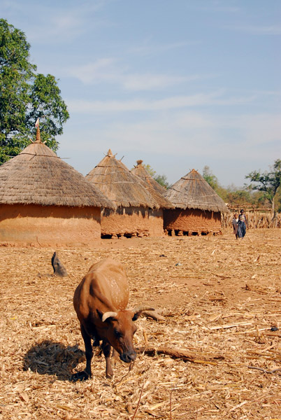
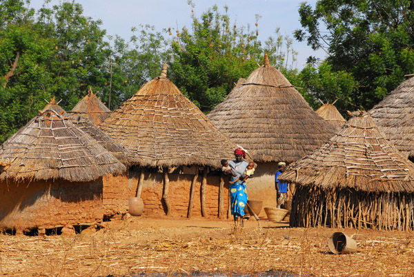
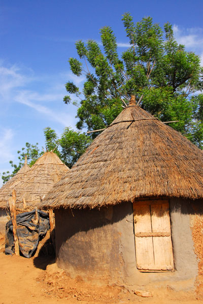
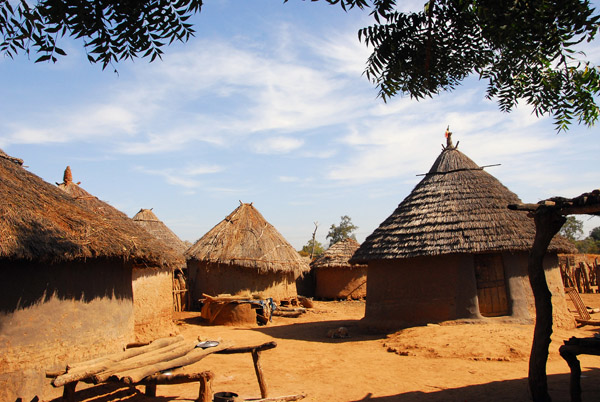
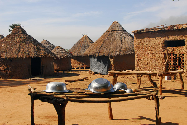
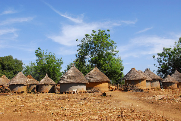
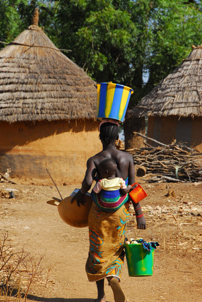
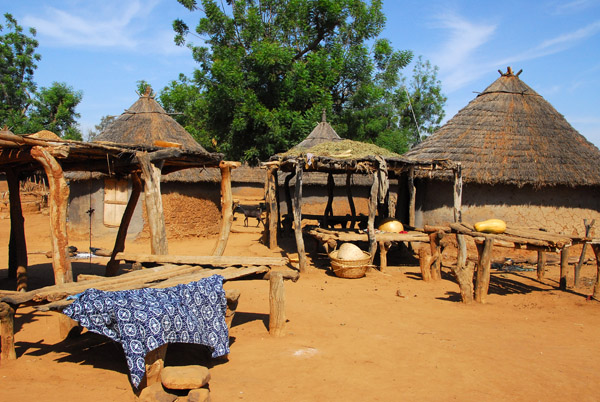
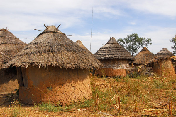
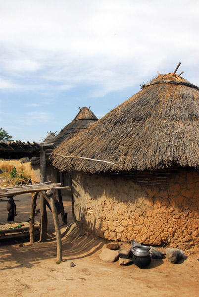
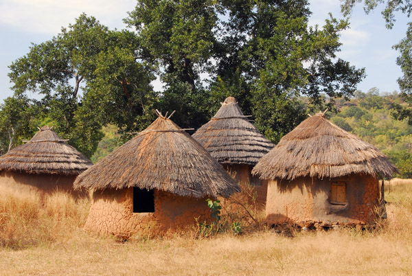
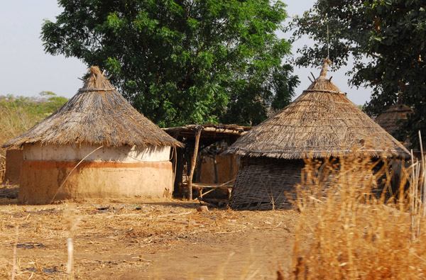 Village of round huts in Western Mali |
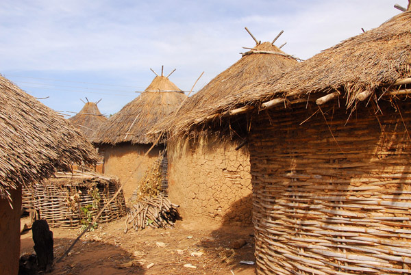
 This shows the basket-like frame of a new hut which serves as support for the mud coating |
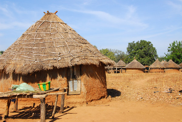
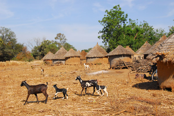
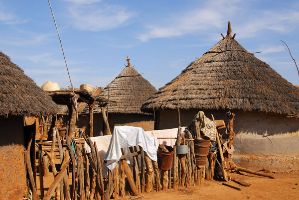
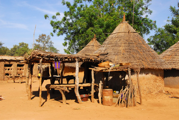
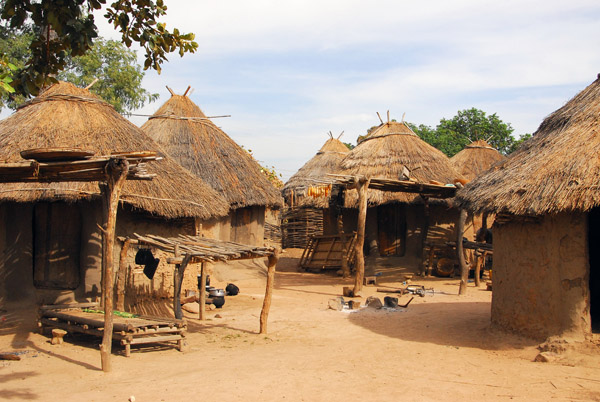
 Village in Western Mali |
 Another freshly burned area, near Sťlinkťgni, Mali |
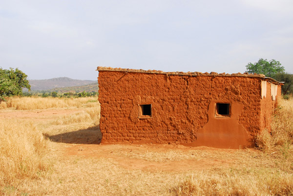 A square building with two windows, Mali |
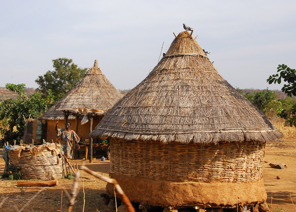
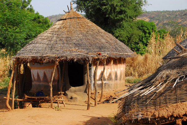
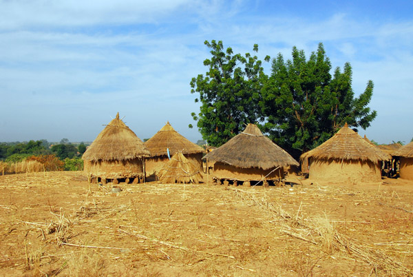
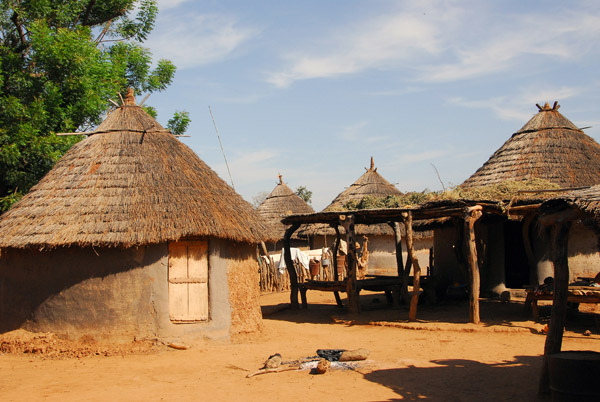
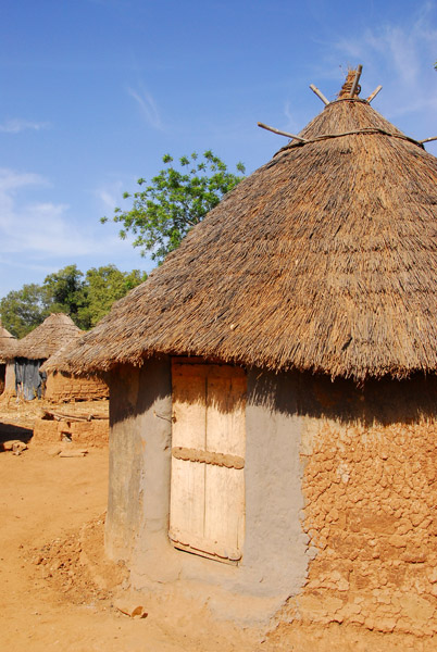
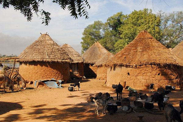
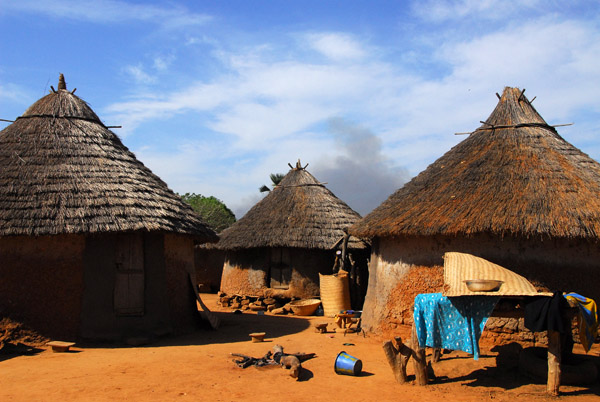
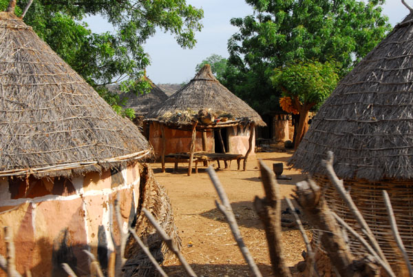 Village near Sťlinkťgni |
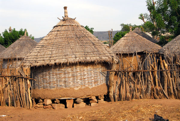
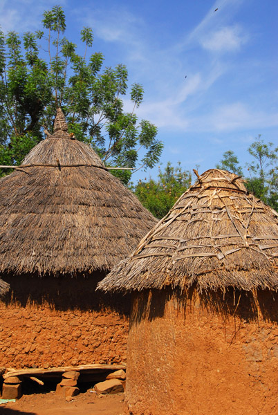
 Another hut with an incomplete mud outer layer |
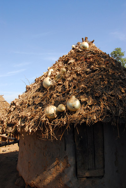
 A hut in Western Mali with painted decoration |
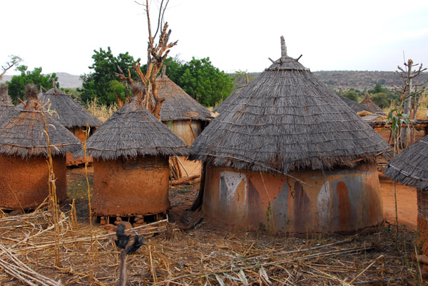
 Village in Western Mali near Sťlinkťgni |
 Another hut near Sťlinkťgni, Mali, with painted decoration |
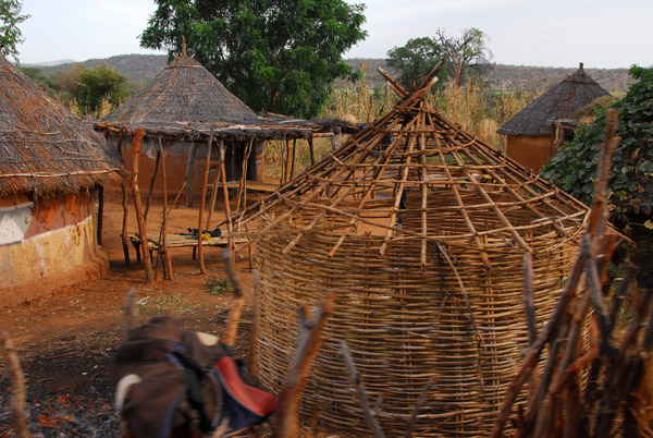 The basket-like start of a new hut, Mali |
 A hut under construction |
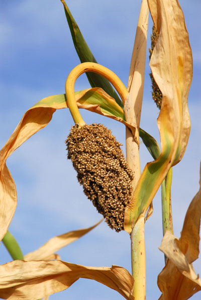 Millet, the staple food of the Sahel countries |
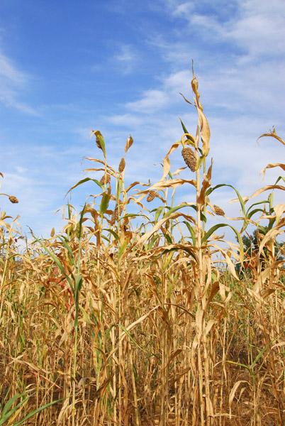 Millet plants look similar to corn |
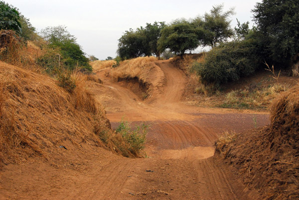
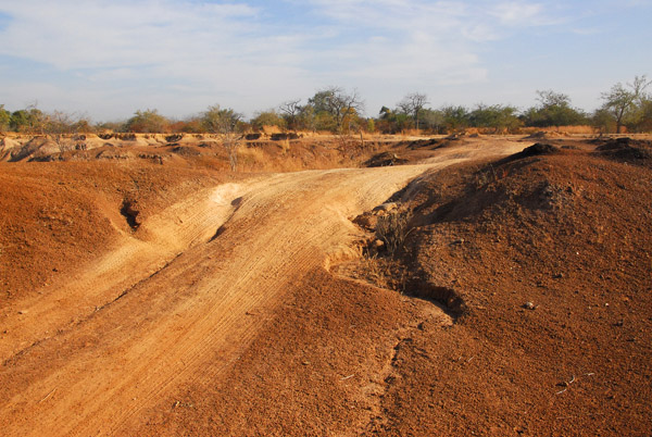
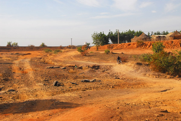
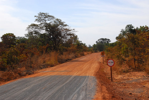
 Rough track, Western Mali |
 The track descends to cross a dry river bed south of Sťlinkťgni, Mali |
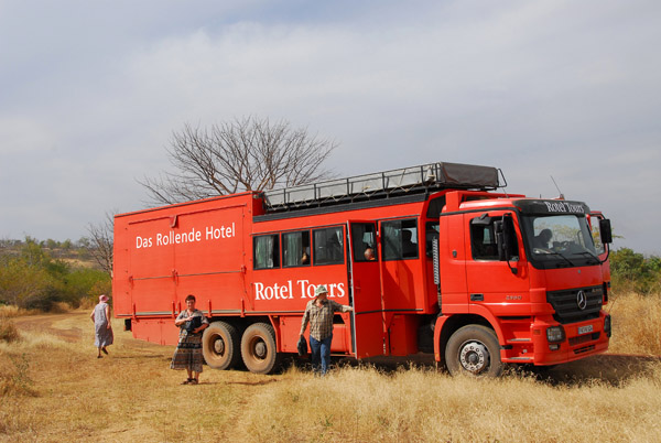
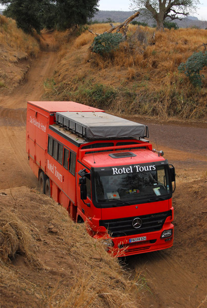
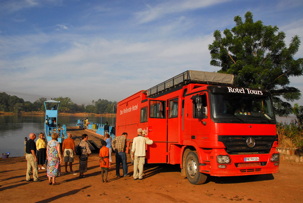
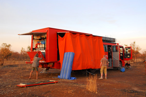
 Rotel between Sťlinkťgni and the Senegal River ferry near Bafoulabť |
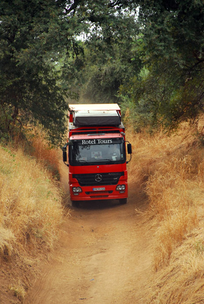
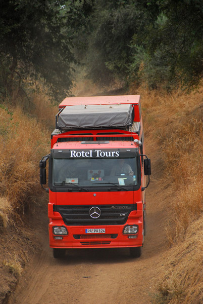 Rotel Expedition Truck, Mali |
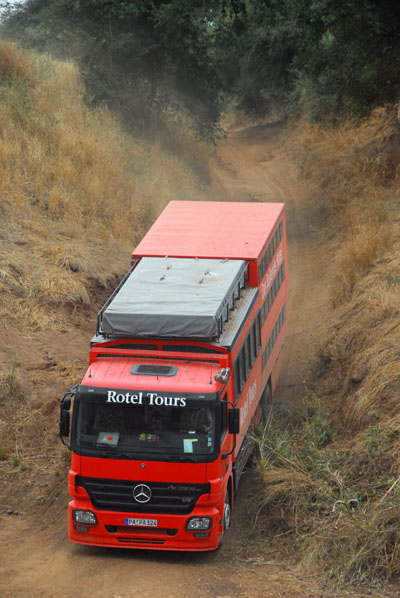 The Rotel in a steep descent |
 Josef opts for the low road |
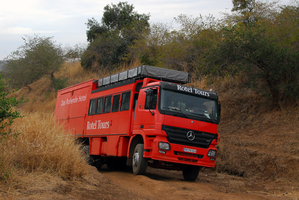 It's slow going in such a big vehicle on the poor roads of Western Mali |
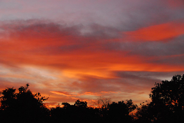
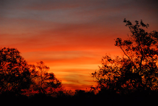
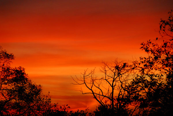
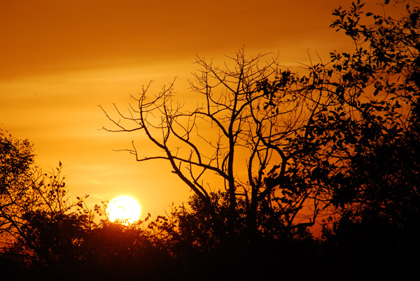
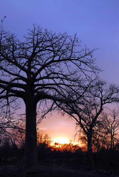 Another sunset |
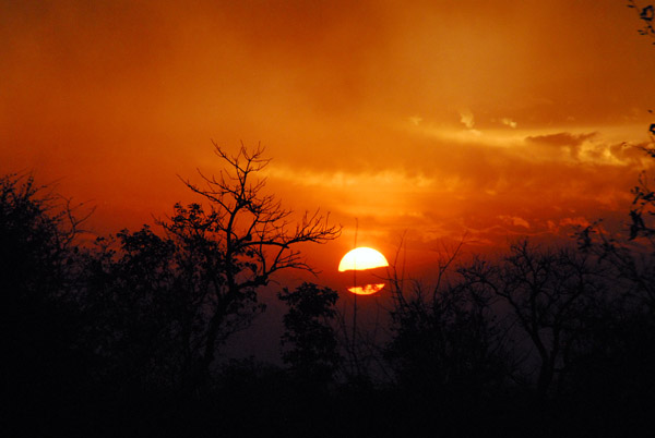 Sunset, 3 days since departing Dakar |
 After a full day of driving, we progress perhaps 80km |
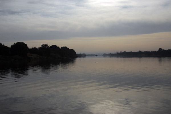
 Dawn over our bush camping site near the Bafoulabť ferry |
 Dawn of our third day in Mali, around 225km from the border with Senegal |
 A new day dawns. Hopefully we will make better progress today... |
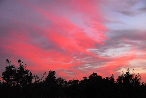
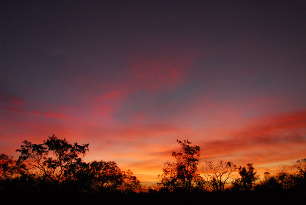
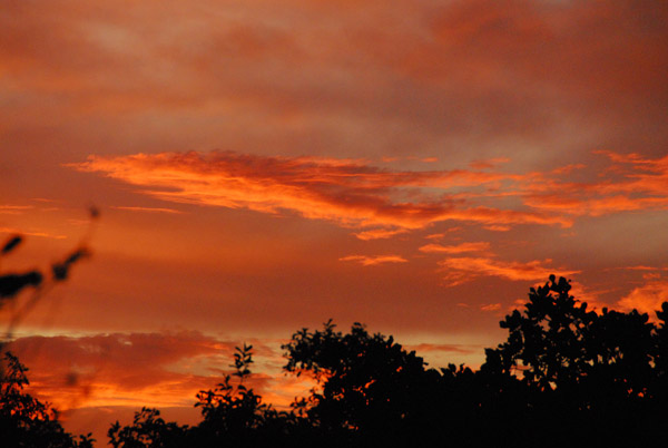 Bright red morning sky, Western Mali |
 Dawn, 26 November 2006, Western Mali |
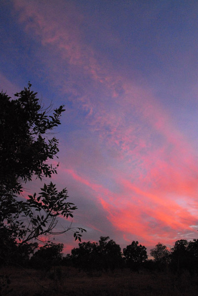 High cirrus colored pink, Western Mali |
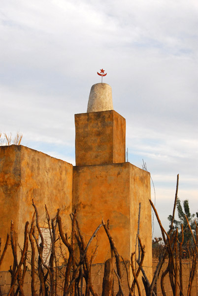
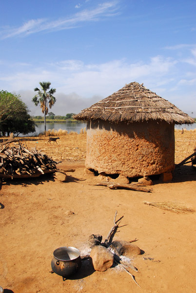
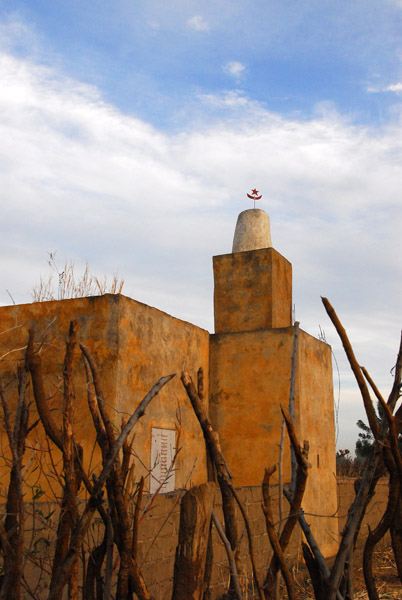 Village mosque, Bakoy River, Mali |
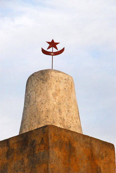 Village mosque, Bakoy River, Mali |
 Mosque, Tintila, Mali |
 The basis of me calling this village Tintila is a sign which read "Ecole Fondamentale Tintila" but I have no confirmation |
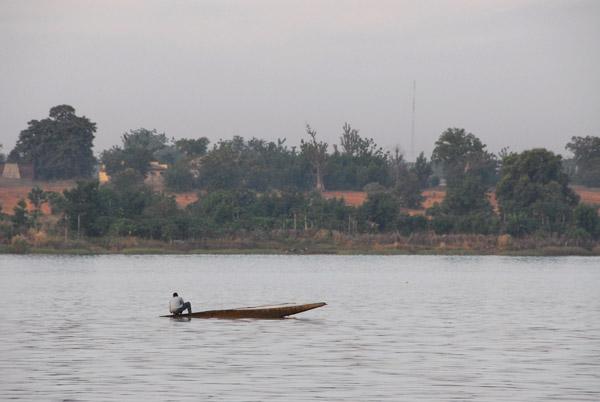
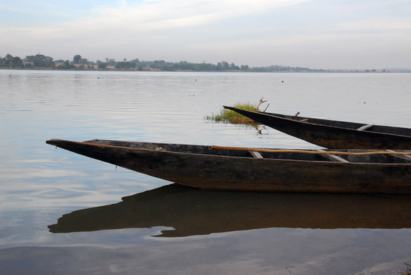
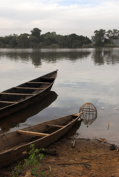
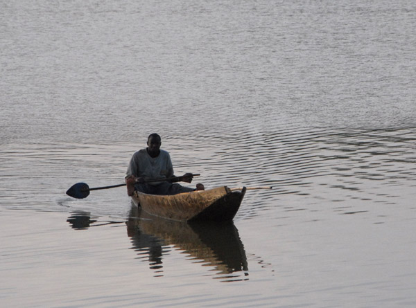
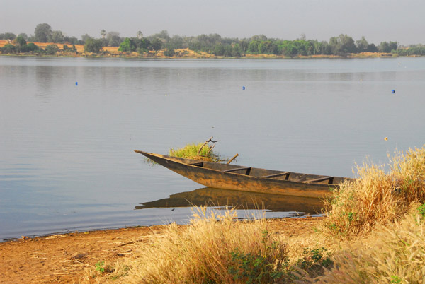
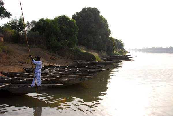
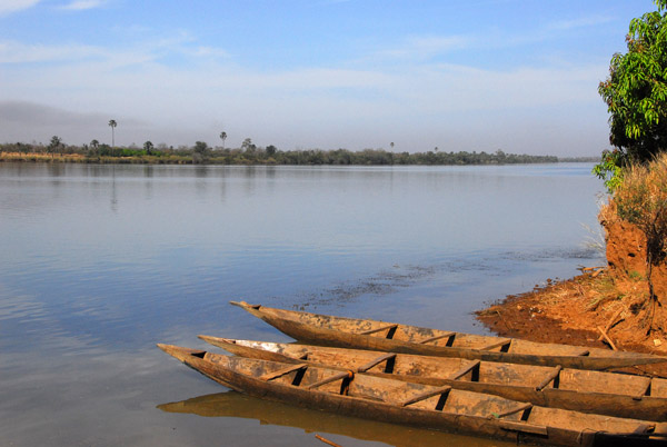
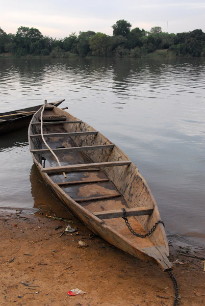 Pirogue canoe on the banks of the Bakoy River |
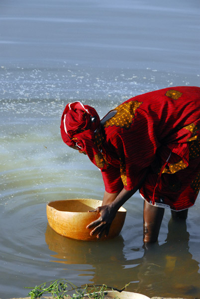
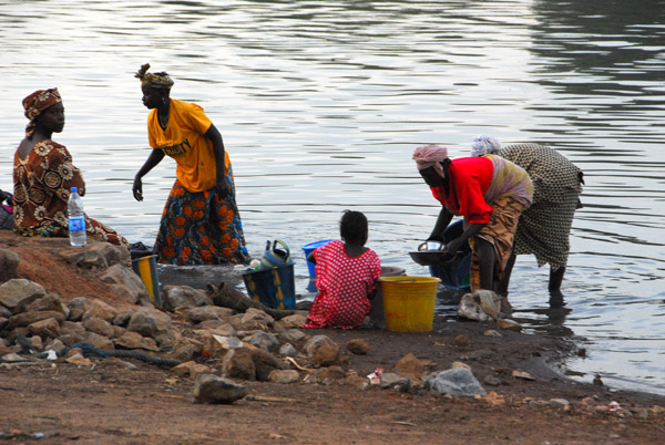 Villagers washing the breakfast dishes in the Bakoy River, Mali |
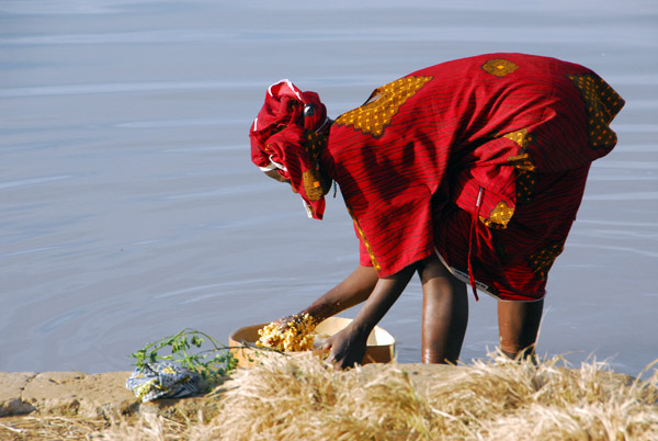
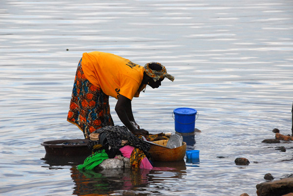 Woman doing laundry in the river, Mali |
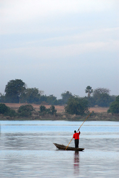 Man poling a pirogue on the Bakoy |
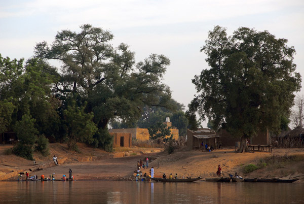
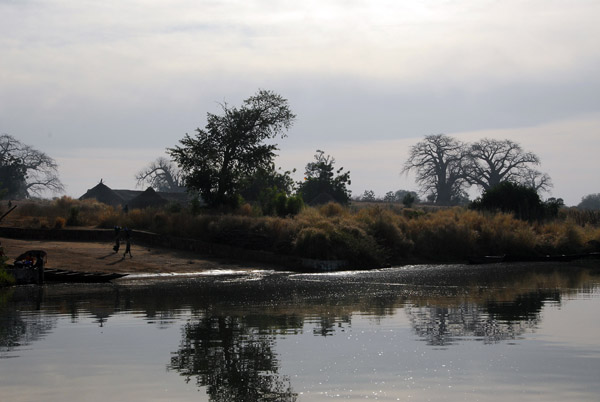
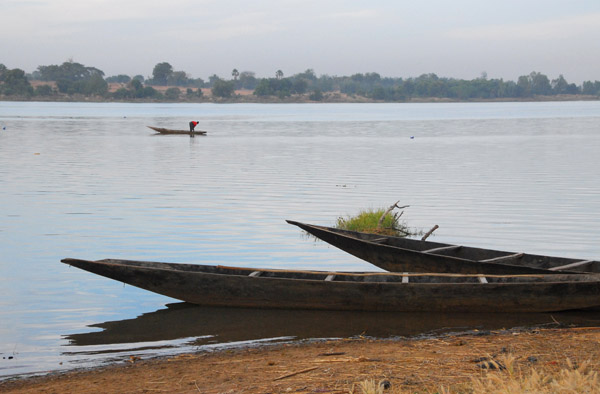 The village is located at the point where the Bakoy River becomes the Senegal River |
 We are here to get a ferry across to the village of Babaroto where we will pick up the road to Manatali |
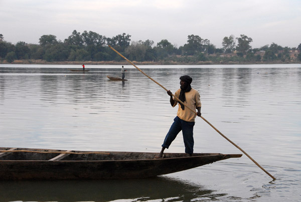 One of the village men poling his pirogue away from shore |
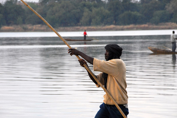 Turbaned boatman with a pole, Mali |
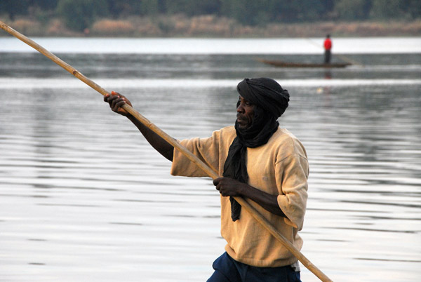 Turbaned boatman with a pole, Mali |
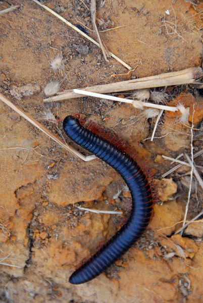 Millipede, Mali |
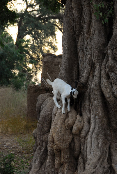 A tree climbing baby goat |
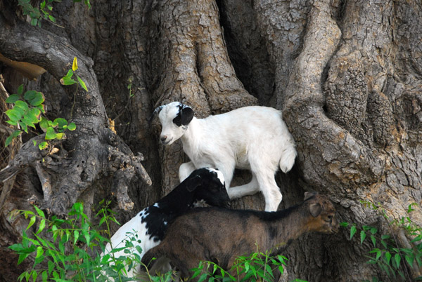 Goats playing king of the mountain, Mali |
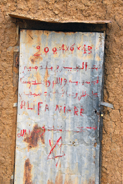
 Gai - Ayam - Ji - Niwatori - Poulet - Hšhnchen - Pollo - Chicken - Djaj |
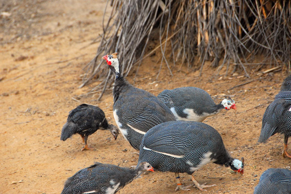 Helmeted Guineafowl (PerlhŁhner) |
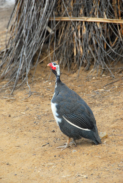 Helmeted Guineafowl |
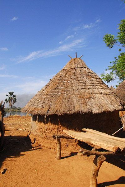
 Village at the Bakoy-Bafing ferry that might be named Tintila |
 Village sur la rive droit de la fleuve Bakoy, Mali |
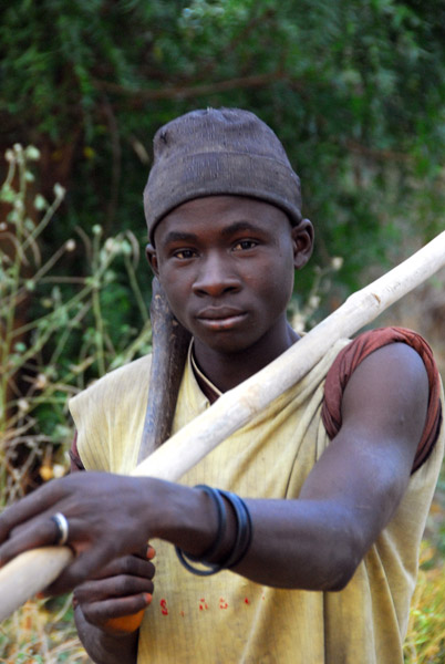 Farmer, Mali |
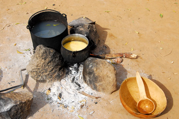
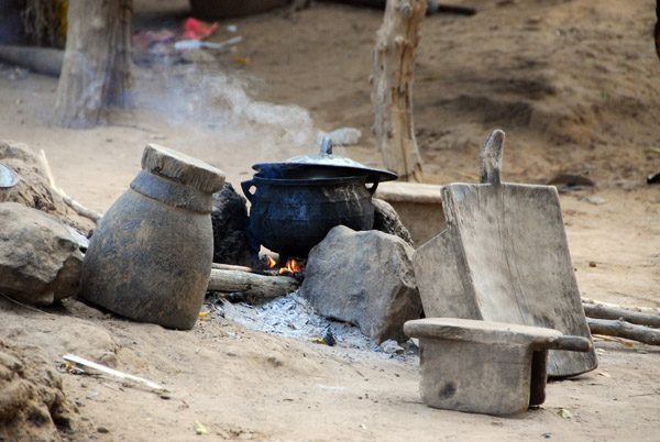 Breakfast is cooking, Mali |
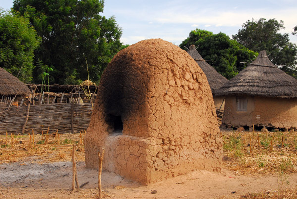
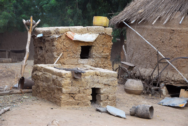 Mudbrick ovens, Mali |
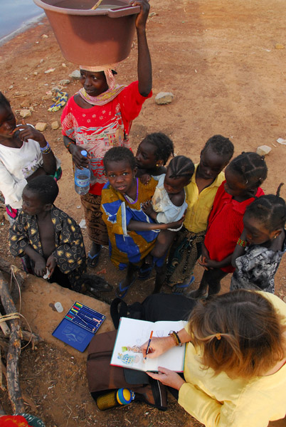 Sabine drawing for the children |
 Fleuve Bakoy |
 MaliNov06 608.jpg |
 Man padding a canoe (pirogue) Mali |
 The larger settlement of Bafoulabť is on the opposite side of the Senegal River |
 Man tending his boat, Mali |
 Woman rinsing millet |
 Woman rinsing millet |
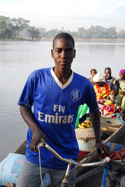 Pirogue ferryman (Nomory Sow from Babaroto, Mali) in a Fly Emirates shirt |
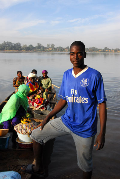 Pirogue ferryman (Nomory Sow from Babaroto, Mali) in a Fly Emirates shirt |
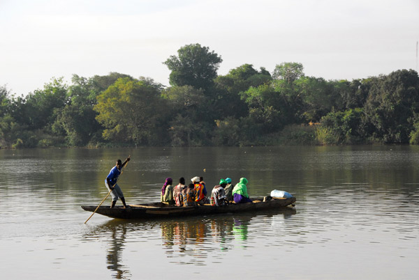 Pirogue ferryman (Nomory Sow from Babaroto, Mali) poles his way across the Bakoy |
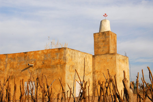 The village mosque in the early morning light |
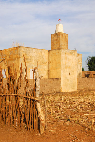 Mosque in the village on the north shore of the Bakoy River |
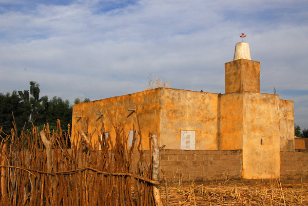 Mosque on the north shore of the Bakoy at the confluence of the Bafing, Mali |
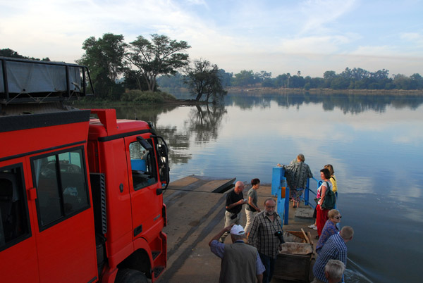
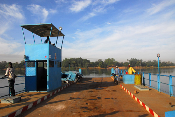
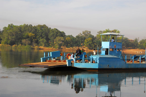
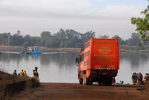 Finally, after an hour wait, the small ferry appears to take us across the Bakoy River to Babaroto |
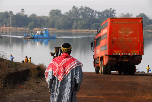 Waiting for the ferry to take us across the Bakoy and Bafing Rivers which join here to form the Senegal River |
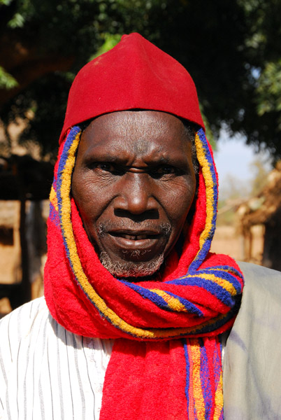
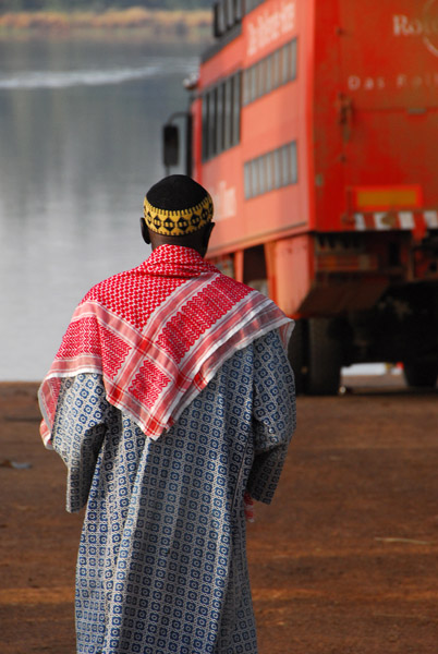 The local Imam, a Hadji |
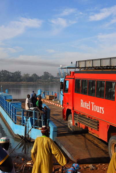
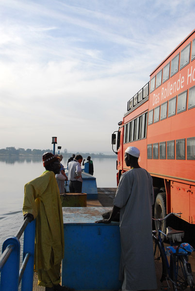
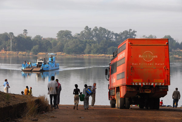 Ferry to take us across the Bakoy near Bafoulabe, Mali |
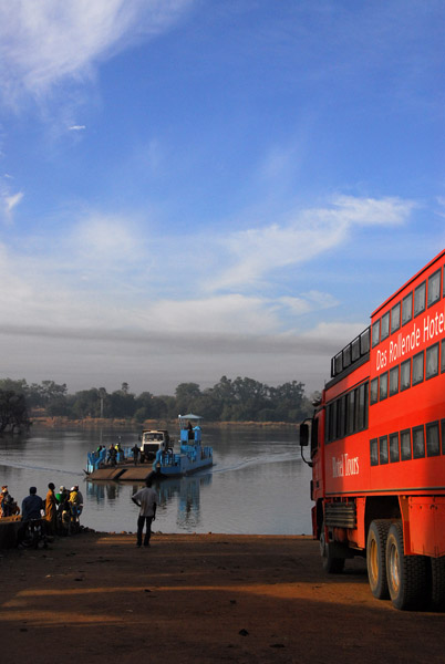 Rotel waiting for the ferry, Mali |
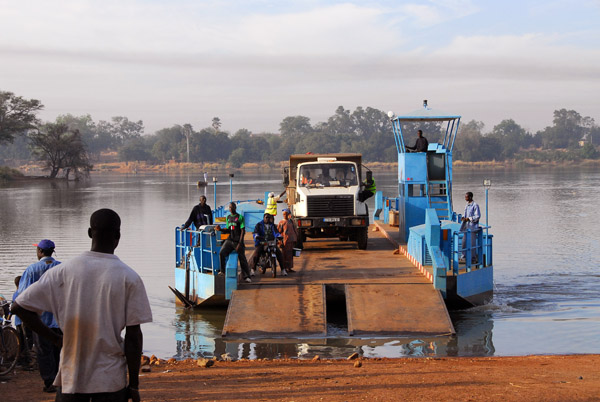 The ferry arrives on the north shore |
 Josef carefully drives the Rotel onto the ferry |
 Loading the ferry |
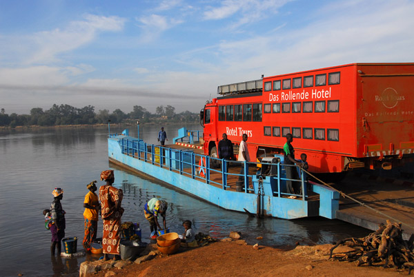 Luckily, we're the only vehicle waiting to cross the river |
 North shore of the Bakoy River, Mali |
 Early morning crossing of the Bakoy River...no hippos today |
 Downstream from here, the Bakoy and Bafing join to form the Senegal River |
 View from the pilot house |
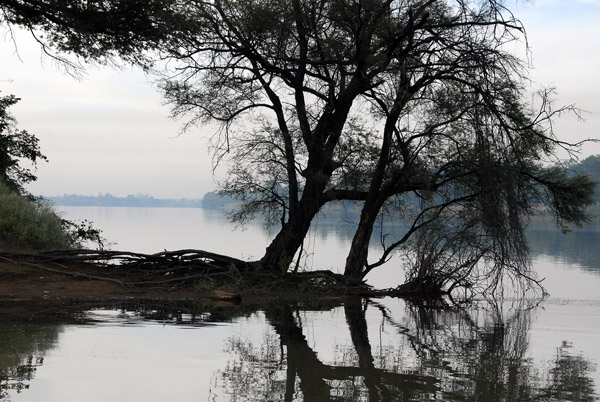 At this point the Bakoy and Bafing Rivers merge to form the Senegal River |
 Confluence of the Bakoy and Bafing Rivers, Babaroto, Mali |
 Looking back at the ferry landing on the north shore of the Bakoy River, Mali |
 On the ferry |
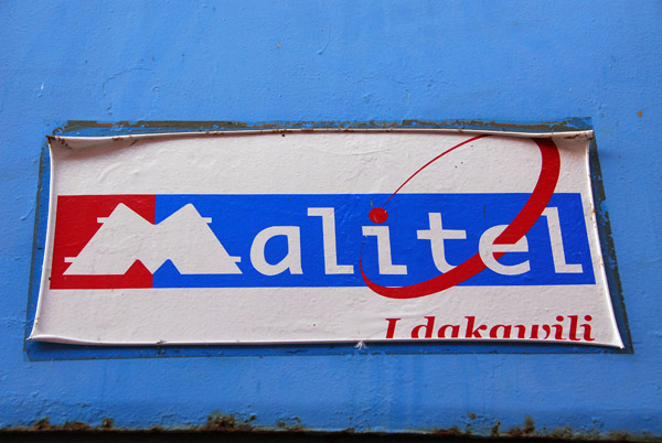 This ferry is brought to you by Malitel |
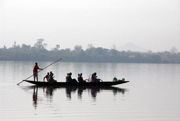 Pirogue shuttling passengers between Babaroto and Bafoulabť, Mali |
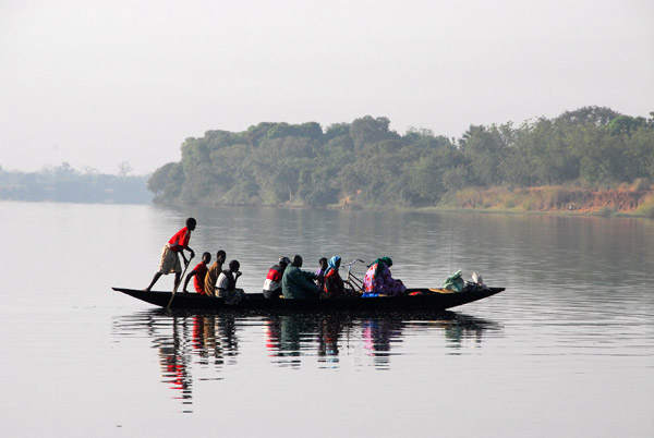 Pirogue crossing the Bafing River, Mali |
 The ferry landing at Babaroto, Mali |
 MaliNov06 658.jpg |
 MaliNov06 659.jpg |
 The Bakoy-Bafing Ferry, Mali |
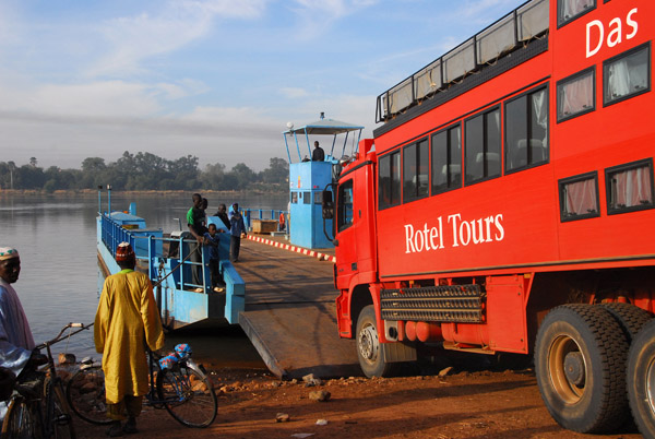
 Josef driving the Rotel onto the east bank of the Bafing River |
 The ferry leaves for its second stop at Bafoulabť, Mali |
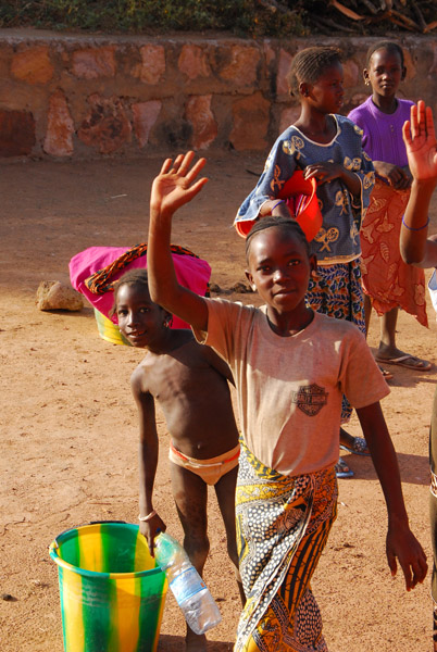 Girl in Babaroto, Mali, waving |
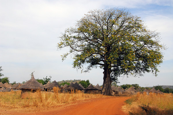
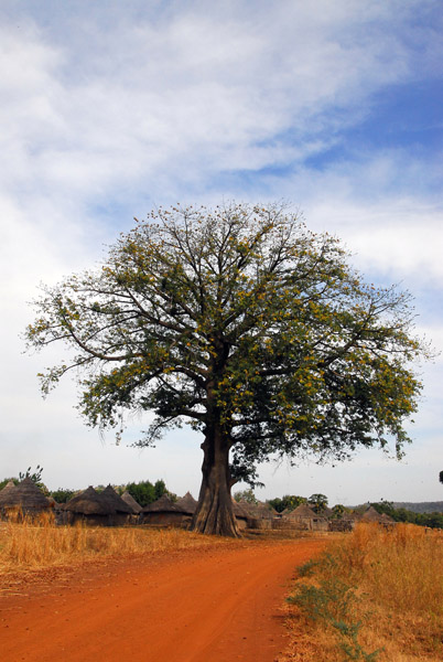
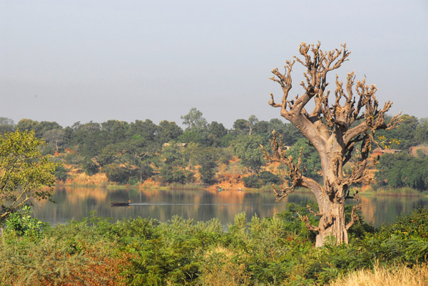 Baobab and the Bafing River, Mali |
 The road on the other side of the river is no better than what we already had behind us |
 The dirt track from the ferry landing towards Manateli |
 The track to Manateli |
 Looks like progress will continue to be slow |
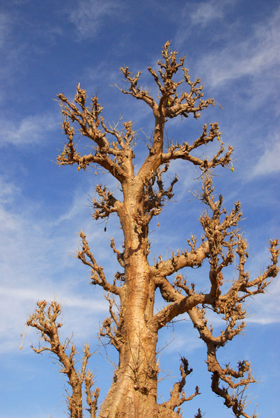
 Baobab, Western Mali |
 Baobab and the Bafing River, Mali |
 Baobab and blue sky, Mali |
 Village in the Bafing Valley, Mali |
 Village in the Bafing Valley, Mali |
 Village in the Bafing Valley, Mali |
 The dirt track nearing Mahina, Mali |
 Kids on the outskirts of Mahina, Mali |
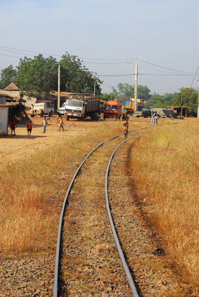 Once again, we've rejoined the Dakar-Bamako Railroad |
 Mahina, Mali |
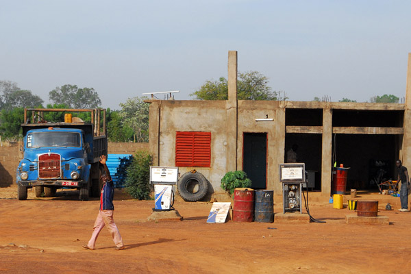 Civilization - a gas station with pumps |
 Dilia, Mali |
 We stopped to visit the interesting village of Dilia, 1 hr 20 min south of the ferry landing |
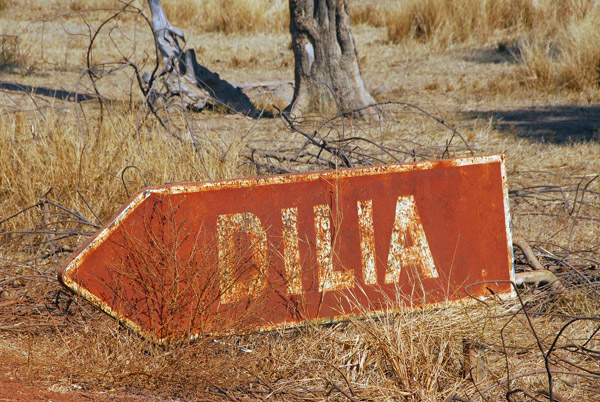 An uncommon sight, a roadsign in Western Mali |
 Dilia, Mali |
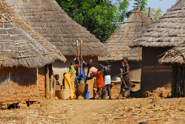
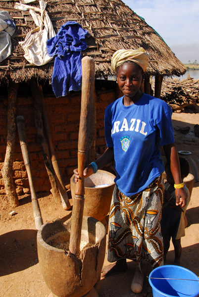
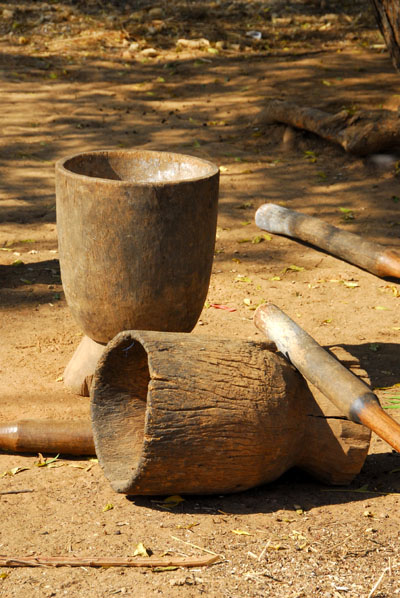 Vessels used for crushing millet |
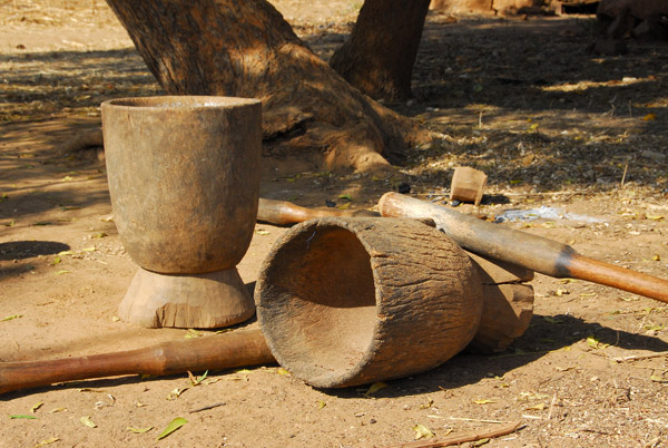 Vessels used for crushing millet, Dilia, Mali |
 Dilia, Mali |
 Dilia, Mali |
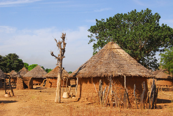
 Round thatched hut in Dilia, Bafing Valley, Mali |
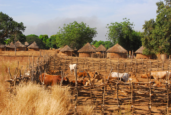
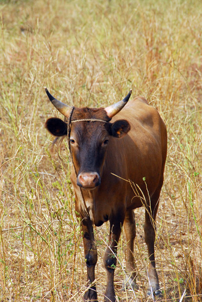
 Cattle grazing in Dilia, Mali |
 Cow, Dilia, Mali |
 Villager in bright blue, Dilia, Mali |
 This is the first village we stopped at that wasn't overrun with children...it must be a school day |
 Small cooking fire, Dilia, Mali |
 Dilia, Mali, on the east bank of the Bafing River |
 African huts in Dilia, Mali |
 Thatched rondavel, Dilia, Mali |
 Dilia, Mali, on the east bank of the Bafing River |
 Dilia, Mali |
 Dilia, Mali |
 Where is everybody? |
 Dilia, Mali |
 Donkeys, Dilia, Mali |
 Dishes left out to dry, Dilia, Mali |
 Woman in Dilia, Mali |
 Woman in Dilia, Mali |
 Dilia, Mali, between Mahina and Manatali |
 Young mother carrying a bucket, Dilia |
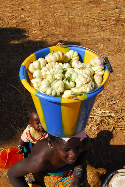 The bucket contains some kind of fruit |
 She heads off with her infant wrapped on her back |
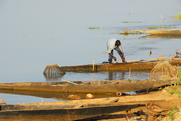
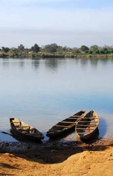 Pirogues, Bafing River |
 Pirogues on the banks of the Bafing River at Dilia, Mali |
 Bafing River at Dilia |
 Pirogues, Bafing River |
 Pirogues on the banks of the Bafing River at Dilia, Mali |
 There's some more activity, Dilia |
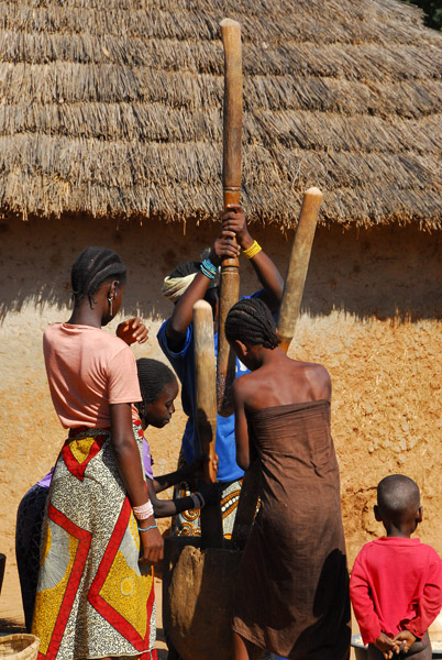 Two women grinding millet, Dilia, Mali |
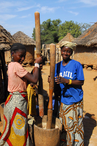 Two women grinding millet, Dilia, Mali |
 Woman pauses from the tedious job of grinding millet |
 Dilia, Mali |
 The people keep their village very clean |
 Finally the kids hear the circus is in town |
 Dilia, Mali |
 Growing gourds on the roof of a hut |
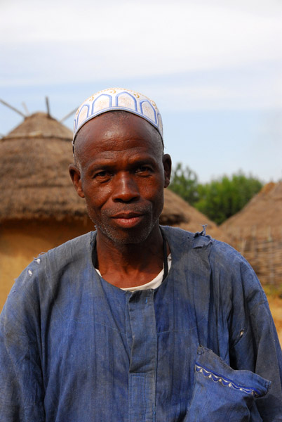
 Head man, Dilia, Mali |
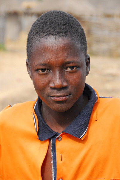
 Girl in Dilia, Mali |
 Could that be a faded Fly Emirates shirt? |
 Mother and child, Dilia, Mali |
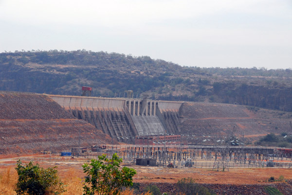 The massive dam at Manantali, completed in 1988 |
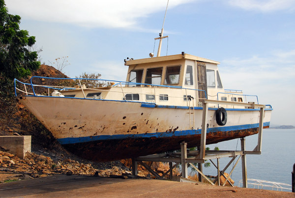 Patrol boat for Lake Manantali, Mali |
 Lac de Manantali, a large reservoir the size of Lake Geneva formed by the damming of the Bafing River, Mali |
 Lac de Manantali, Mali |
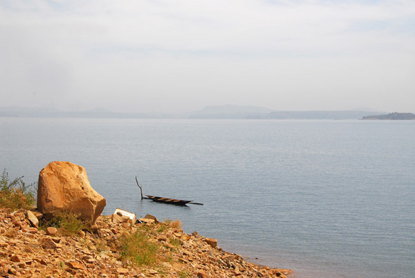
 Pirogue tied up on the lake of Manatali, Mali |
 Pirogue tied up on the lake of Manatali, Mali |
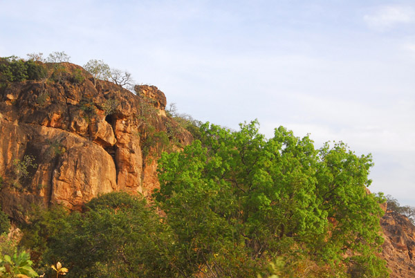
 Cliffs above Manatali |
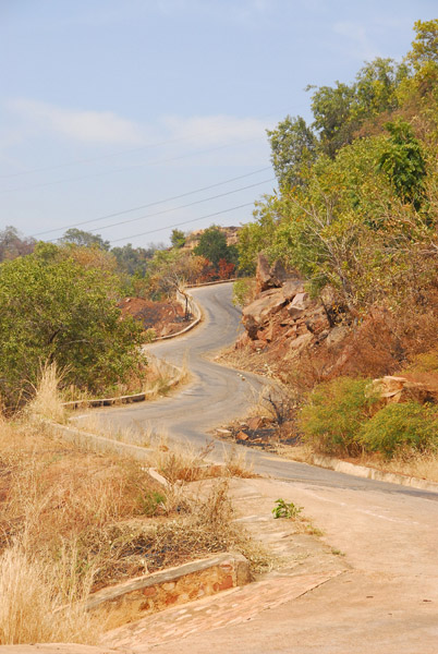 Thankfully, this steep portion of road is paved |
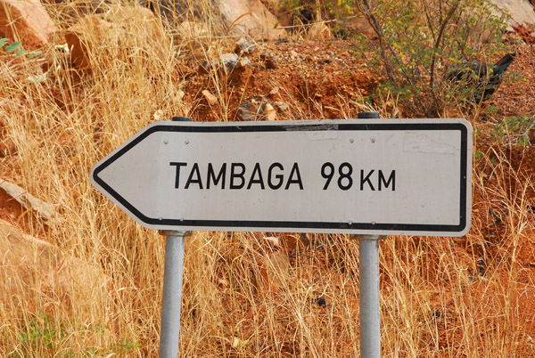 Tambaga, 98km from Manatali, an eternity on these roads |
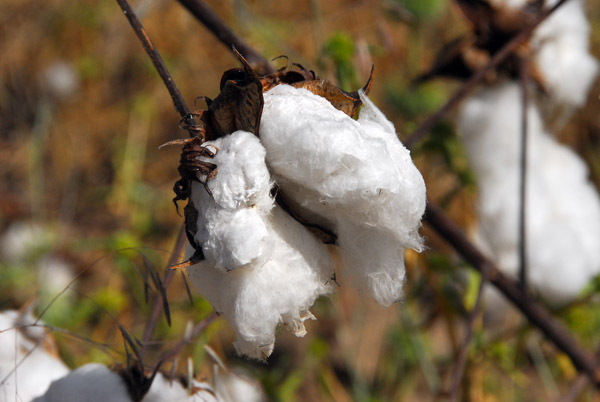 The area between Manatali and Tambaga is cotton country |
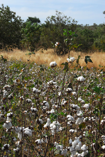 Cotton field, Mali |
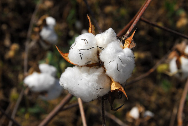 Cotton buds |
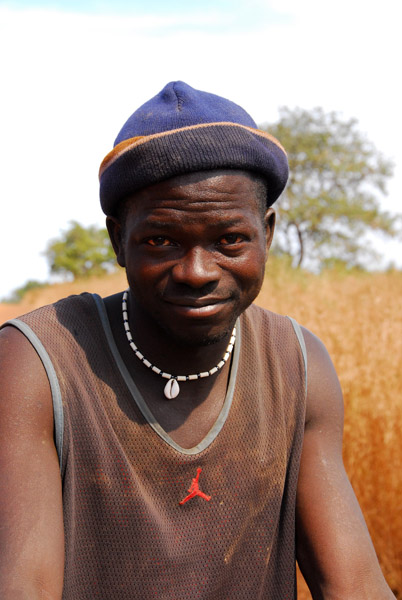 A cotton farmer, Mali |
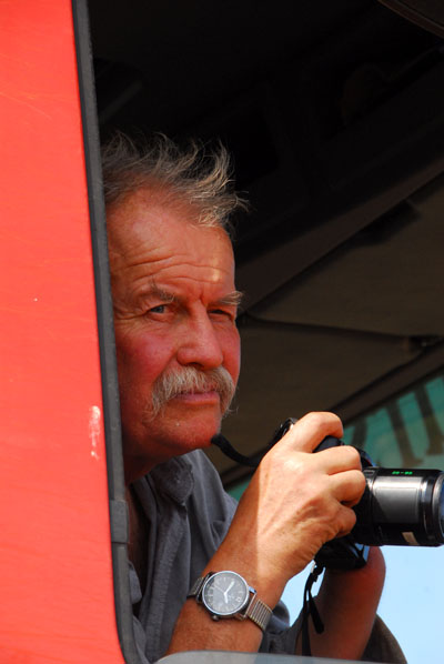 Reiseleiter GŁnter Adam, keen on agriculture |
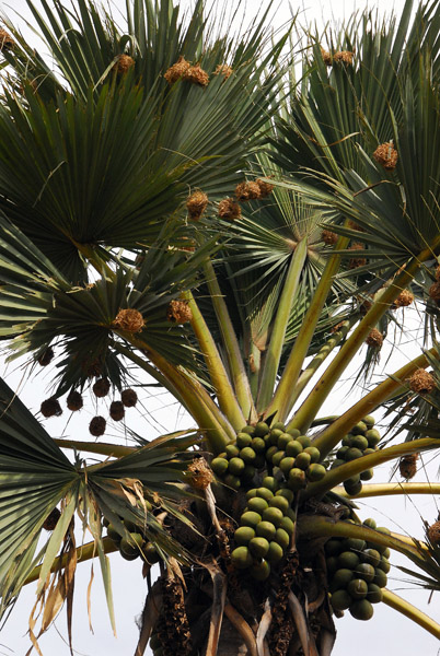 This tree caused GŁnter to stop at another village |
 Village of the Palm Tree between Manatali and Tambaga, Mali |
 Our guide GŁnter had never stopped at this village before so he came with us |
 (at villages where he has stopped before, he just cuts us loose...) |
 It did feel odd traipsing through people's kitchens... |
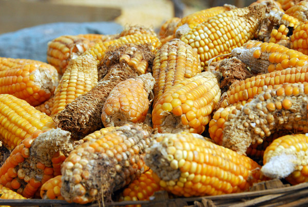 Basket of corn, Mali |
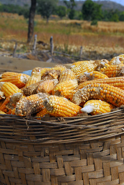 Basket of corn, Mali |
 Village of the Palm Tree |
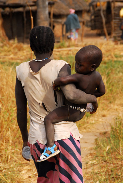 Woman carrying a kid on her hip |
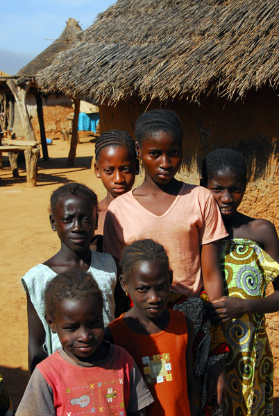
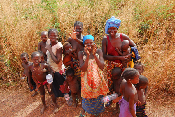
 20 white people popping in unexpectedly probably doesn't happen often here |
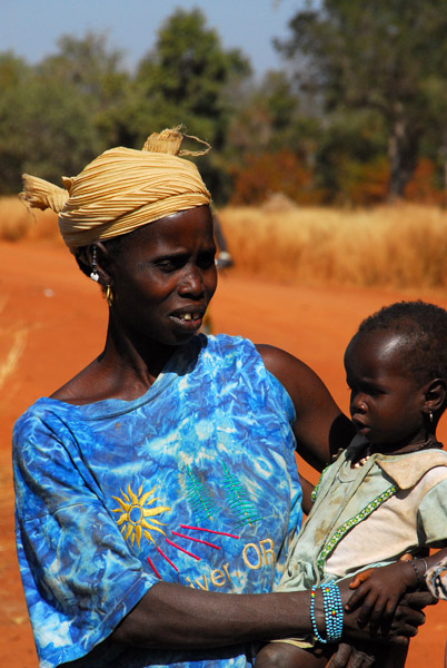
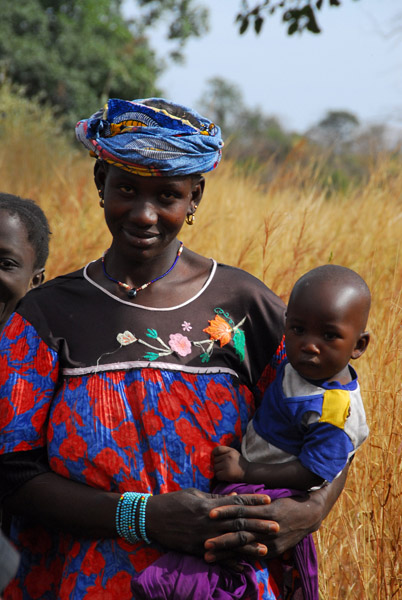 Woman and child, Mali |
 The villagers seeing us off, a few CFA richer |
 MaliNov06 773.jpg |
 Huts in the Village of the Big Tree |
 About 15 minutes after the Village of the Palm Tree, we stopped at the Village of the Big Tree |
 Big tree along the road to Tambaga, Mali |
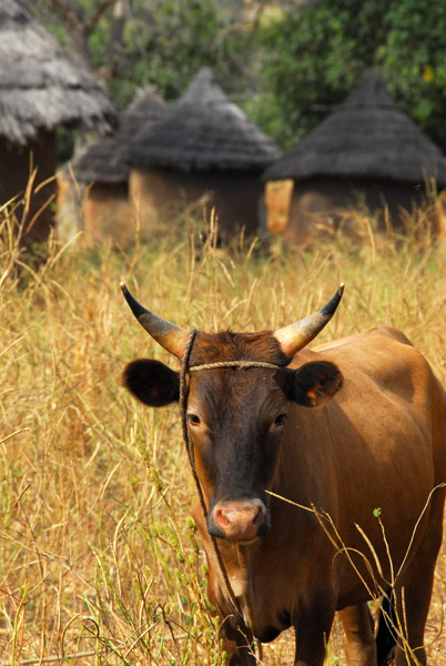 Cow checking us out |
 Village of the Big Tree |
 Oven, Village of the Big Tree |
 Many times I was asked if I was a doctor |
 Village of the Big Tree |
 We passed through Mali at the time of the cotton harvest |
 Rocky outcropping along the road to Tambaga, Mali |
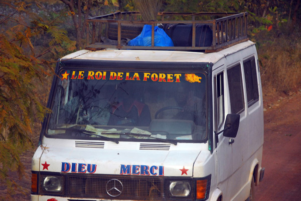 Bush Taxi - Le Roi De La ForÍt, Mali |
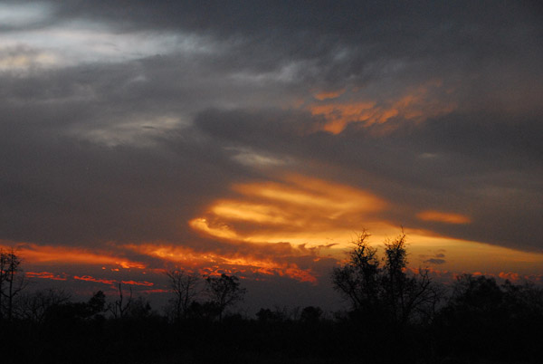
 The end of our third day in Mali |
 Another sunset and we've not yet reached Kita - 2 1/2 long driving days for 350km |
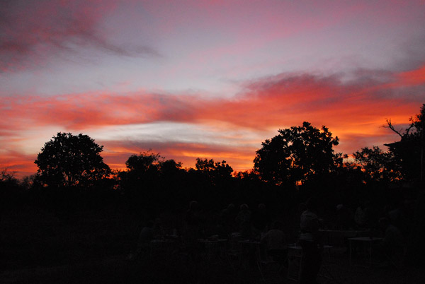
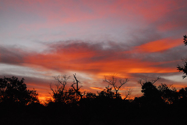
 Dawn, Day 4 in Mali. We should reach Bamako today. |
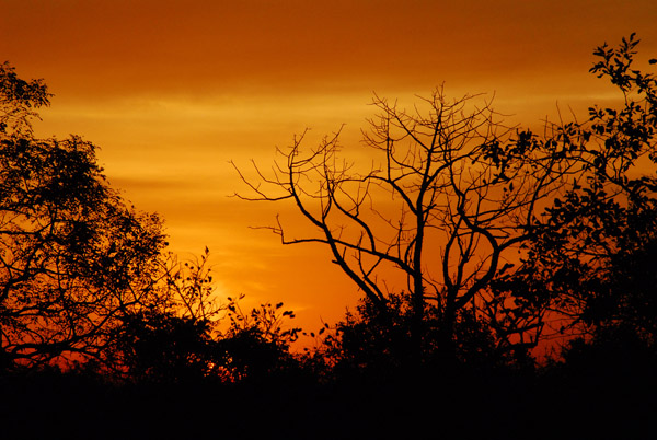 Dawn |
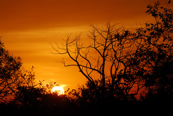 Sunrise, 27 November 2006 |
 Sunrise, Western Mali |
 Rotel breaking camp - a quick affair |
 A welcome sight for the future - road construction outside Kita, Mali |
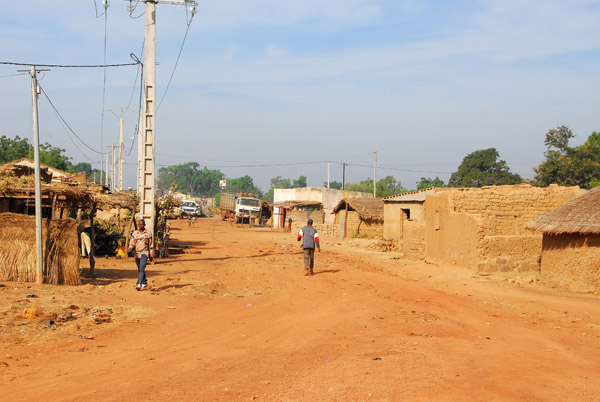
 Kita, Mali |
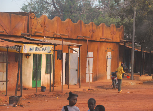 Kita, Mali |
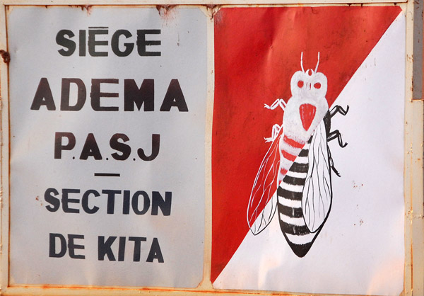 SiŤge ADEMA PASJ - Section de Kita |
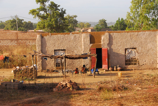 Kita, Mali |
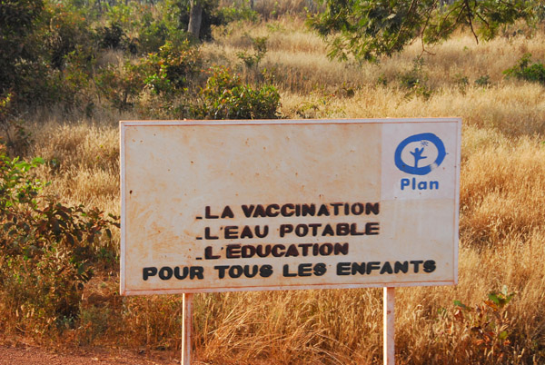 The plan for Mali - vaccination, potable water and education for all children |
 The main road leaving Kita for the capital, Bamako |
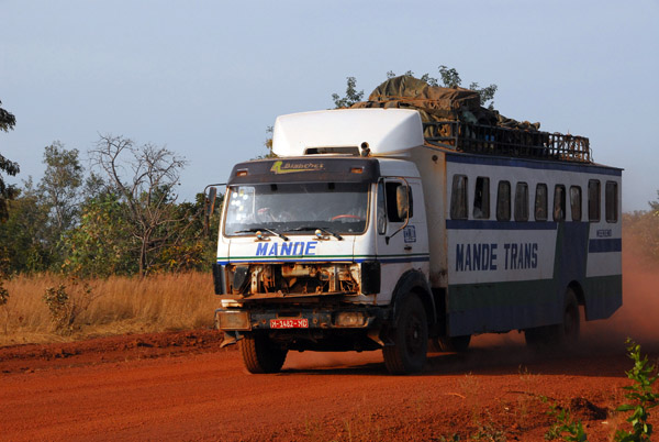 Mande Trans bus between Bamako and Kita, Mali |
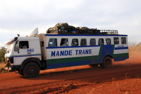 Mande Trans bus between Bamako and Kita, Mali |
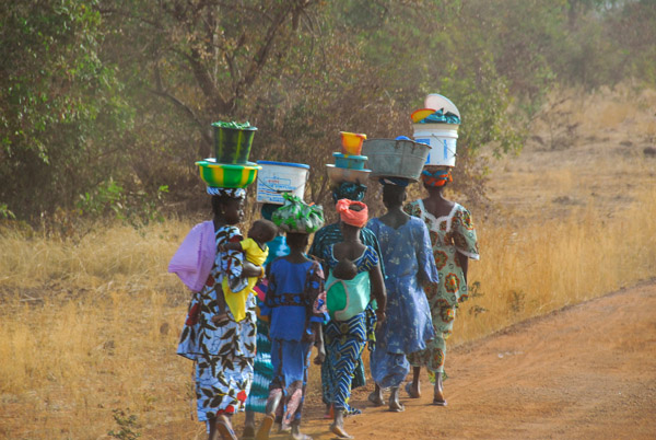 A line of women along the road |
 Paved Road!!!! Mali R13 to Bamako |
 22 minutes later....the main highway is closed for roadwork and we're forced to detour |
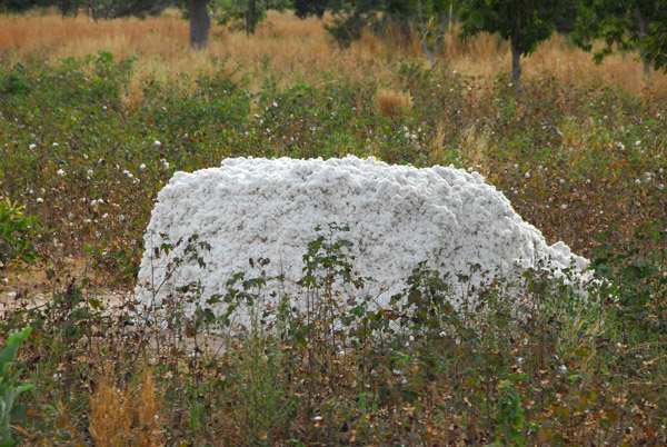
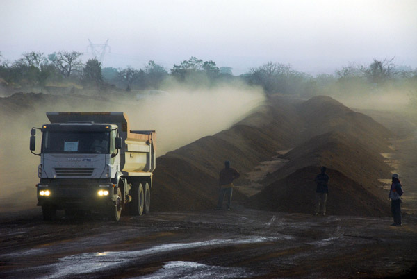
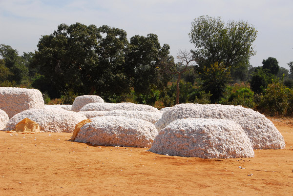 Collection area for the cotton harvest, Mali |
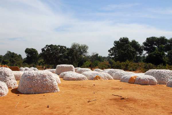 Collection area for the cotton harvest, Mali |
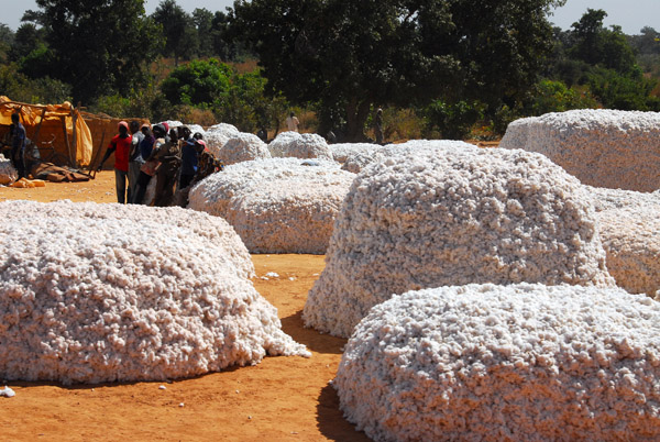 Each stack belongs to an individual farmer |
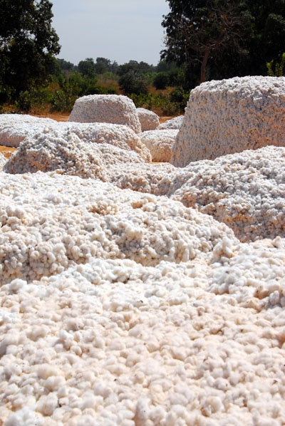 Piles of freshly picked cotton near Kita |
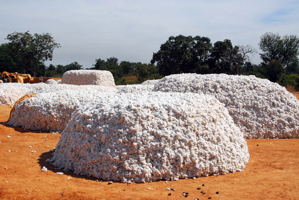 The harvested cotton awaiting transport, Mali |
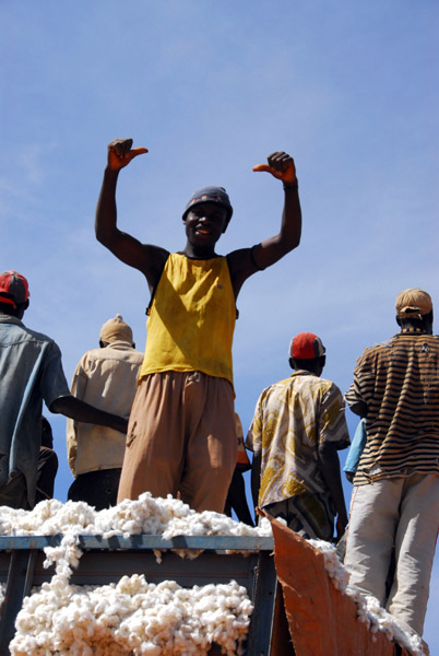
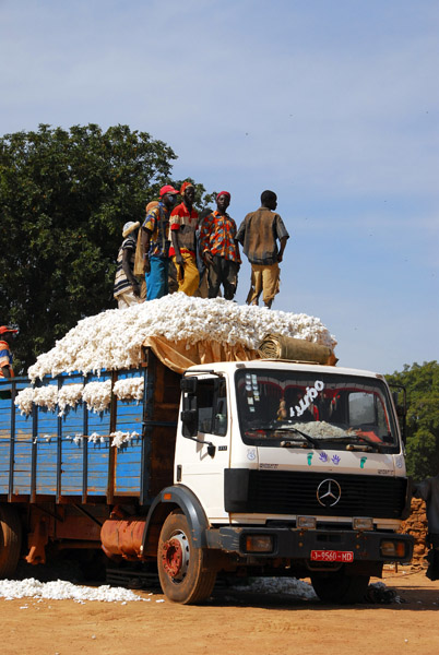 The cotton is loaded onto big trucks |
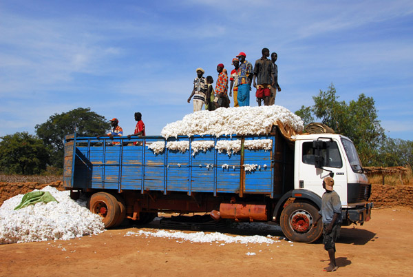 The men on top use there feet to pack the cotton tight |
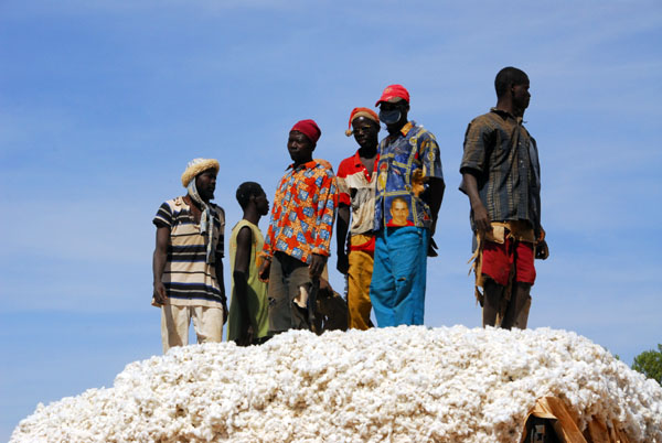 Men stomping down cotton on a truck, Mali |
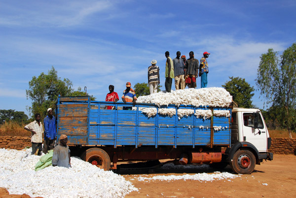 Loading a cotton truck, Mali |
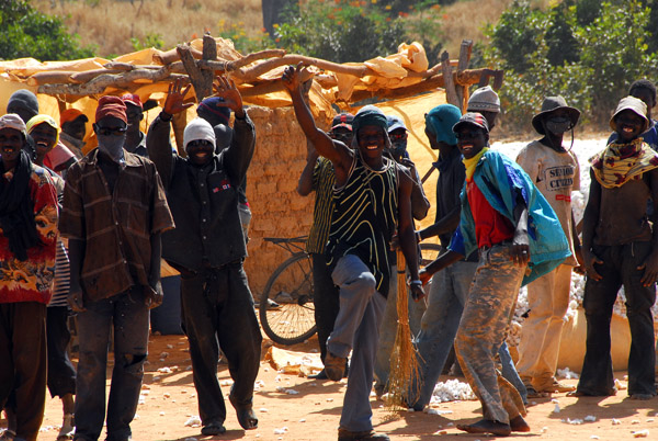 The head man wasn't happy with the disruption but no one else minded |
 Packing the cotton, Mali |
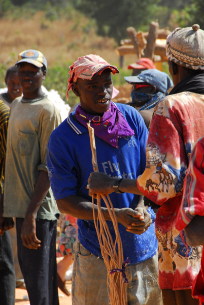 Fly Emirates |
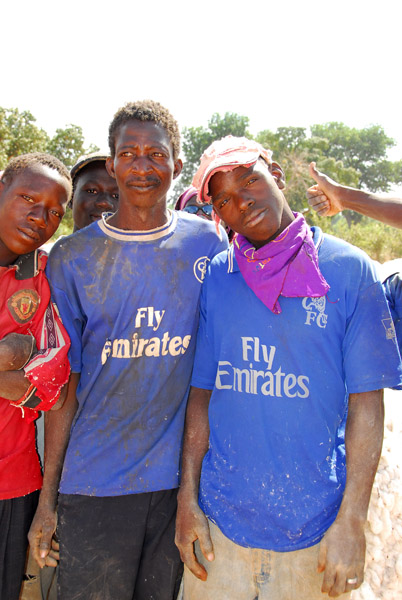 A pair of Fly Emirates shirts, Mali |
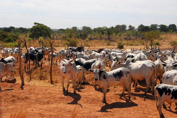 Cattle, between Kita and Bamako, Mali |
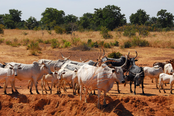 Cattle, between Kita and Bamako, Mali |
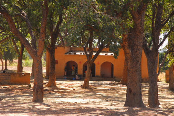 A medical clinic along R13 between Kita and Bamako |
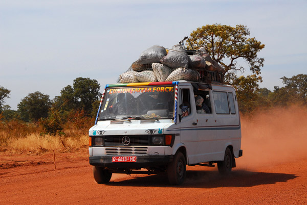 Bush taxi - L'Union Fait La Force - Mali |
| comment | share |
| attie | 10-Jan-2013 11:05 | |