


|
|
|
|
|
|
| Brian McMorrow | profile | all galleries >> Middle East, North Africa & the Caucasus >> Palestine فلسطين >> West Bank | tree view | thumbnails | slideshow |
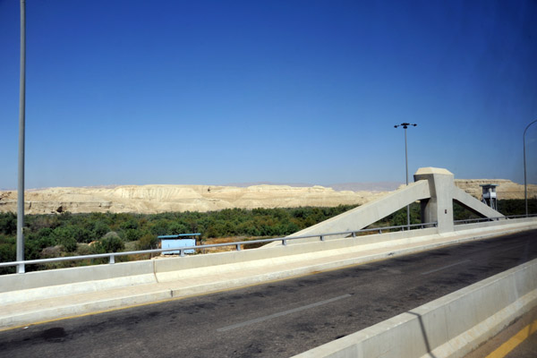 Allenby Bridge |
 Allenby Bridge |
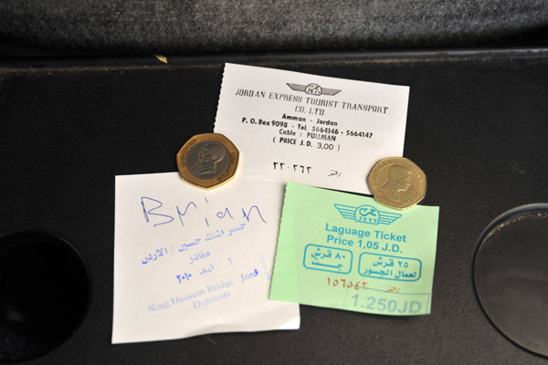 Jordanian exit stamp from King Hussein Bridge with bus(3 J.D.) and luggage (1.25 J.D.) tickets |
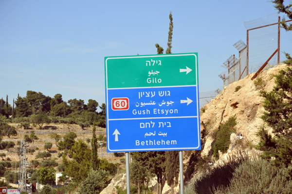
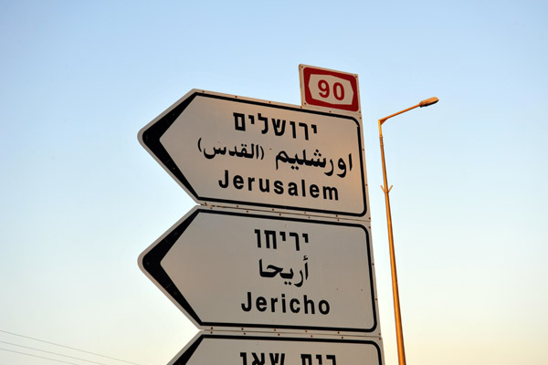 West bank road signs for Jerusalem and Jericho |
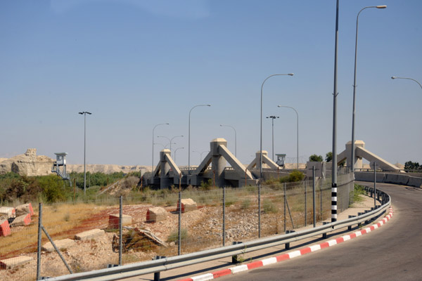
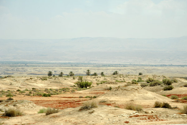 Jordan River Valley near Jericho, West Bank |
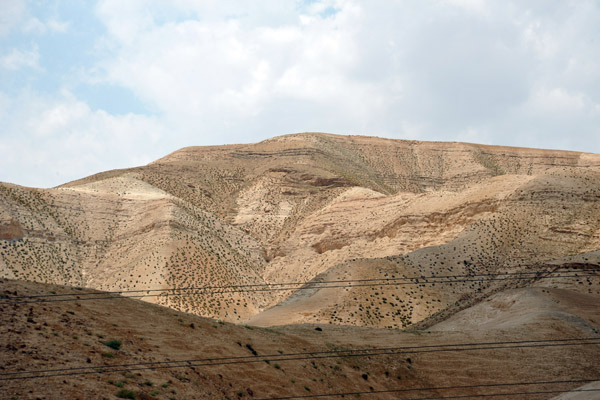 The road through the West Bank from the Allenby Bridge and Dead Sea to Jerusalem |
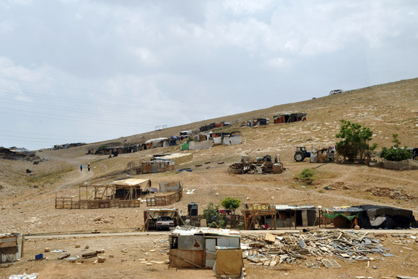 Camp along the road from the Dead Sea to Jerusalem |
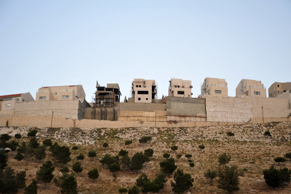
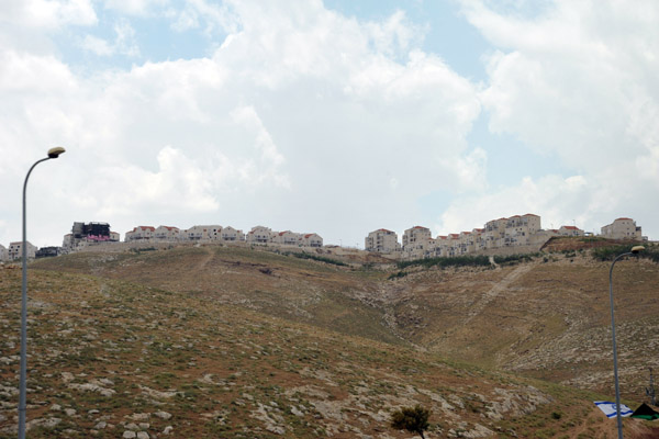 Israeli settlement of Mitspe Nevo, a branch off Ma'ale Adumim. on a ridge above Highway 1 from the Dead Sea to Jerusalem |
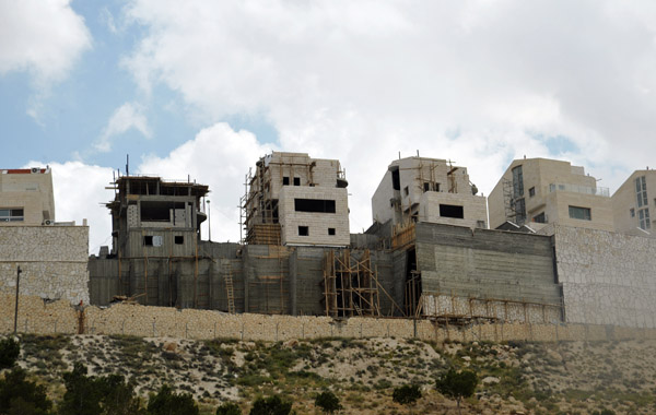 Construction sites at Mitspe Nevo outside Jerusalem visible on a ridge overlooking Highway 1 from the Dead Sea |
 Construction sites at Mitspe Nevo outside Jerusalem visible on a ridge overlooking Highway 1 from the Dead Sea |
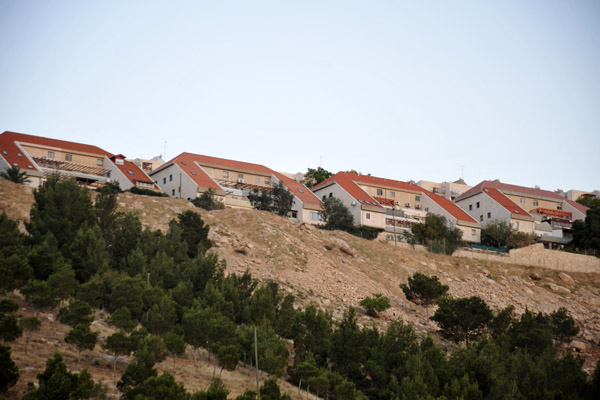 Israeli settlement of Keley Shir, part of Ma'ale Adumim, on a ridge above Highway 1 from the Dead Sea to Jerusalem |
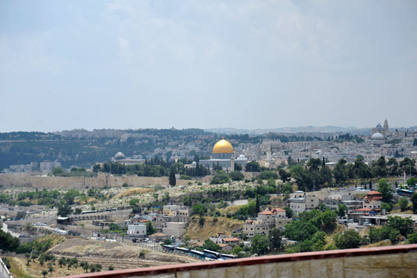 First view of Jerusalem's Old City |
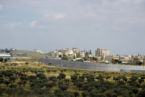 West Bank Separation Wall (Israeli side) |
 West Bank Separation wall built extra high to protect the Israeli cars driving on Highway 60 from Palestinian stone-throwers |
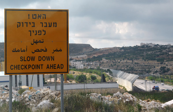 Highway 60 (road to Hebron) checkpoint outside Jerusalem |
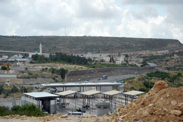 Israeli checkpoint on Highway 60 south of Jerusalem |
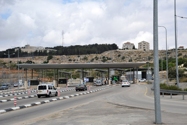 Israeli checkpoint on Highway 60 south of Jerusalem |
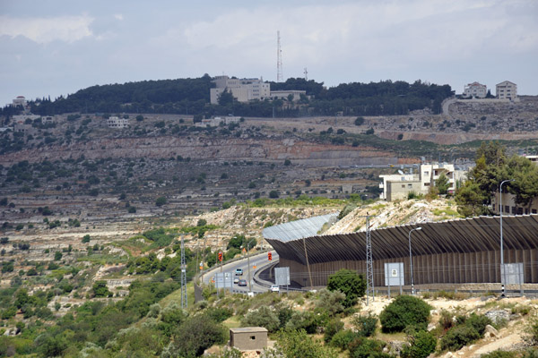
 View of road tunnel on Highway 60 from Beit Jala with the Israeli settlement of Gilo (est 1973, pop 40,000) on the hilltop |
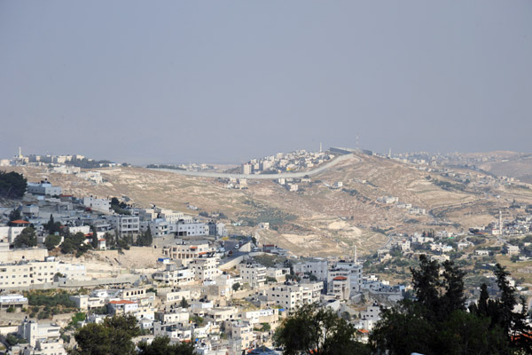 West Bank Separation Wall at Abu Dis seen from the Walls of Jerusalem near Mount Zion |
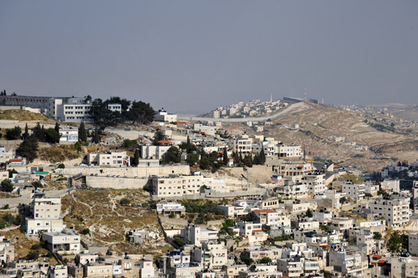 West Bank Separation Wall at Abu Dis seen from the Walls of Jerusalem near Mount Zion |
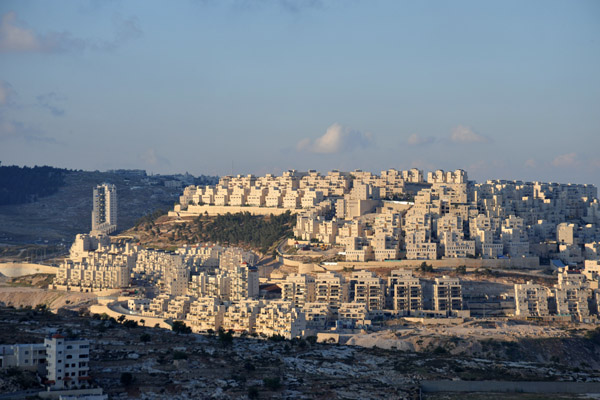 Har Homa-Homat Shmu'el, a substantial Jewish settlement inside the West Bank 2 km from Bethlehem, established 1997 |
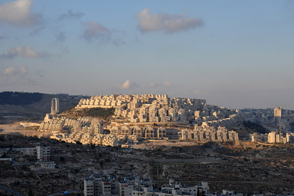 Har Homa (הר חומה, "Wall Mountain") seen from Bethlehem |
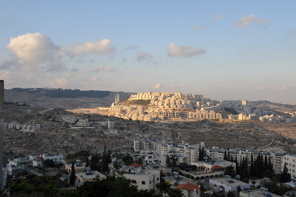 Har Homa was renamed Homat Shmu'el after a former deputy mayor of Jerusalem active in its development |
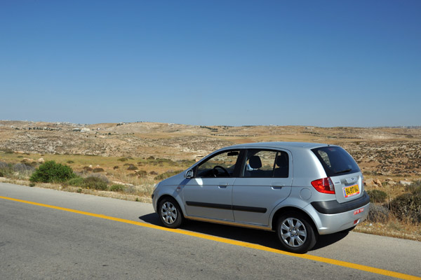
 Driving myself along Highway 60 from Jerusalem to Beersheva via the West Bank (Bethlehem & Hebron) |
 Highway 60 leaving Jerusalem to the south |
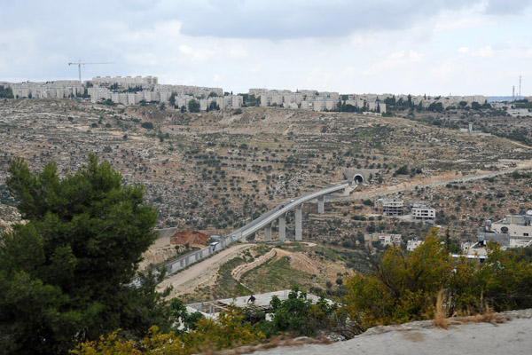
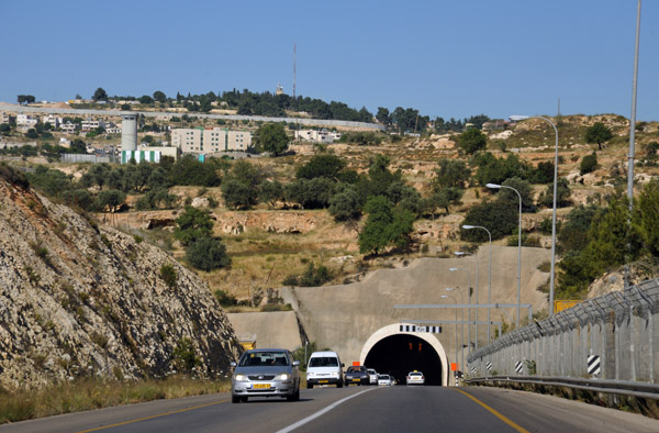 One of two large tunnels between Gilo and Bayt Jala on Highway 60 south of Jerusalem |
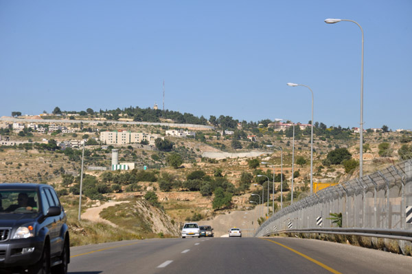
 Highway 60 with the West Bank Separation wall on both sides |
 Approaching the 2nd tunnel at Bayt Jala |
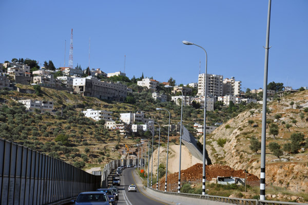
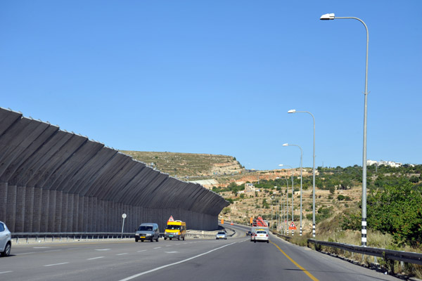 Hwy 60 with a large overhanging section of the West Bank Separation Wall to deter Palestinian stone throwers from Bayt Jala |
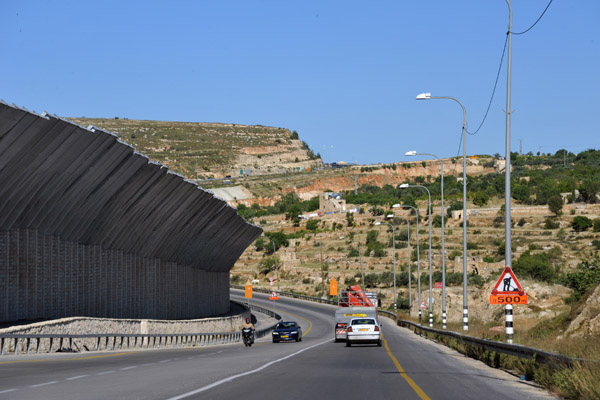 Hwy 60 with a large overhanging section of the West Bank Separation Wall to deter Palestinian stone throwers from Bayt Jala |
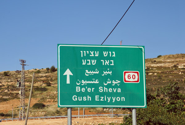 Highway 60 passes through the West Bank for a quick link between Jerusalem and the southern Israeli city of Be'er Sheva |
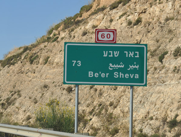 Highway 60 road sign 73 km north of Be'er Sheva |
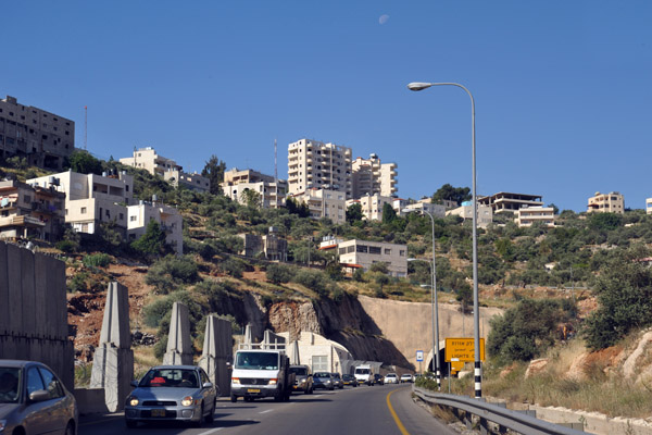
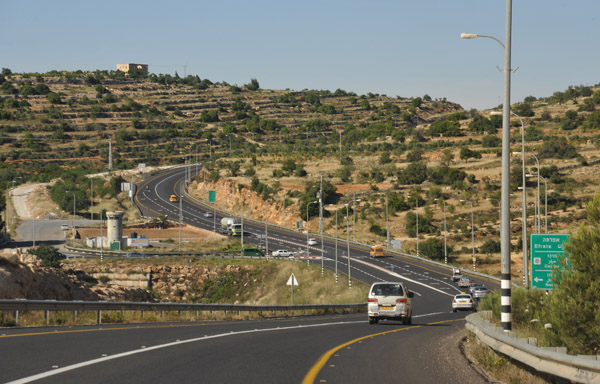 Highway 60 passing through the West Bank at Efrata |
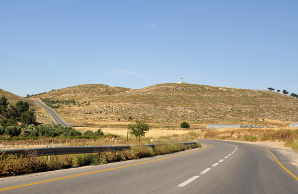
 Watch tower ahead at the north Efrata junction - Efrata is an Israeli settlement (est 1980, pop 8000) well inside the West Bank |
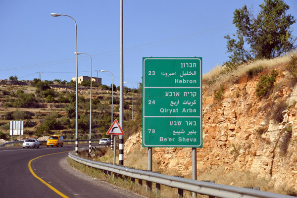 Highway 60 road sign 23 km north of Hebron, West Bank |
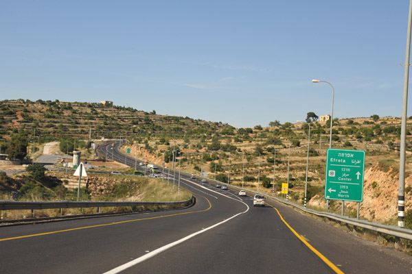
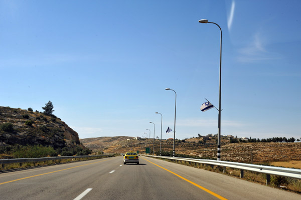
 Highway 60 lined with Israeli flags as it passes the Israeli settlement of Efrata (Gefen) |
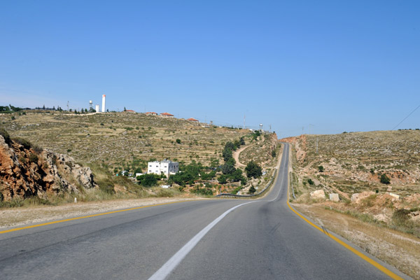
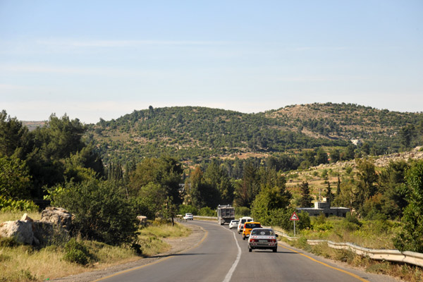 Heading deeper into the West Bank through the green hills between Efrata and Hebron |
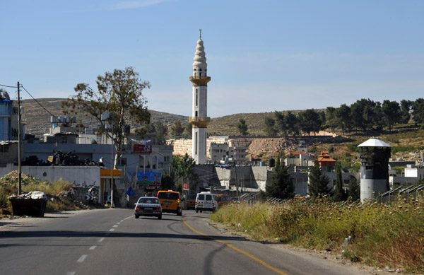 A minaret rising from the Palestinian town of Mu'askar al'Arub |
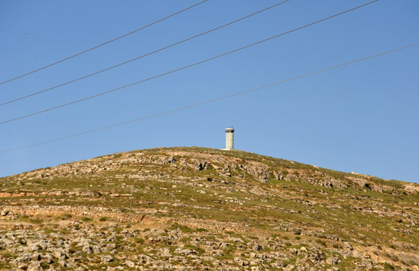
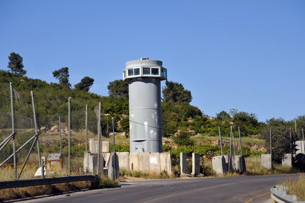 Israeli watch tower along Highway 60 between Mu'askar al'Arub and Bayt Umar |
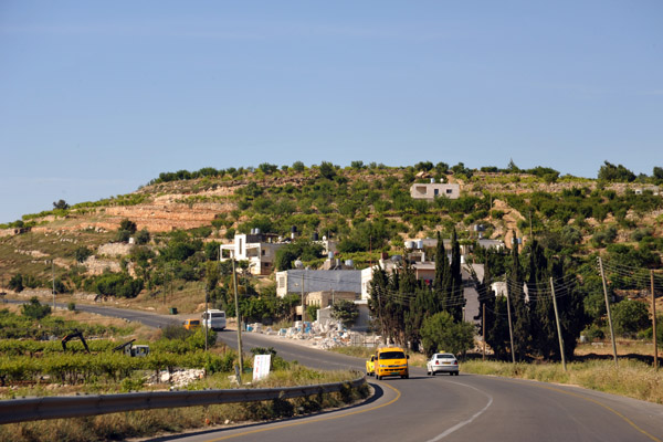 Highway 60 Near Bayt Umar |
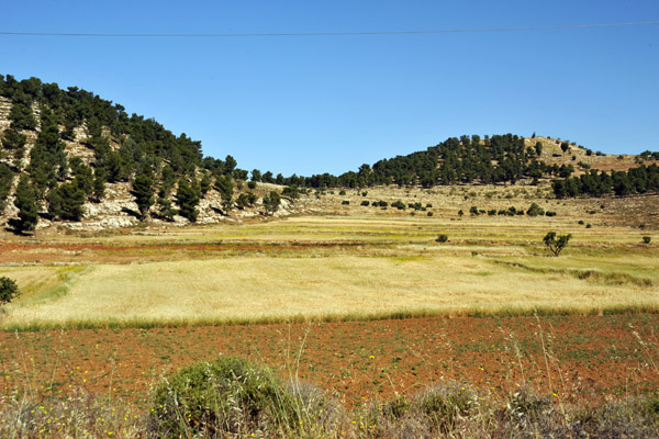
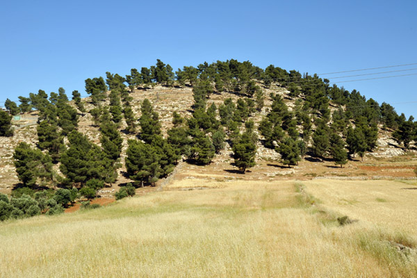
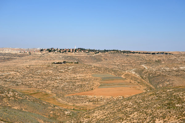
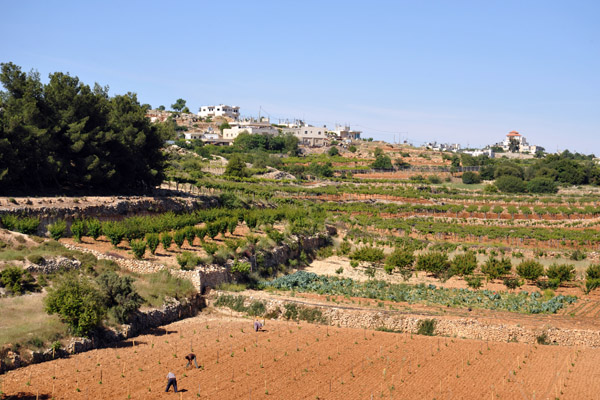 Fertile area of the West Bank north of Hebron |
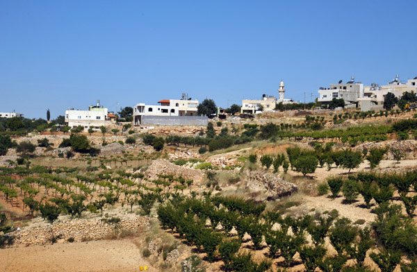 Fertile area of the West Bank north of Hebron |
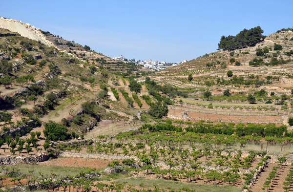 Fertile area of the West Bank north of Hebron |
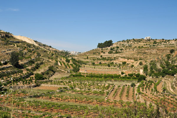 Fertile area of the West Bank north of Hebron |
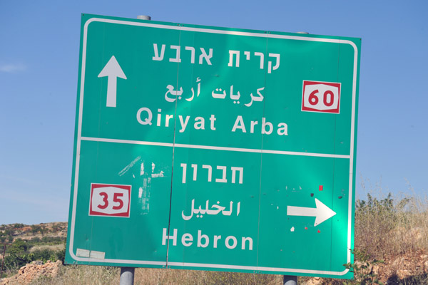 The junction of Highway 35 to Hebron - I continue south on 60 towards Be'er Sheva |
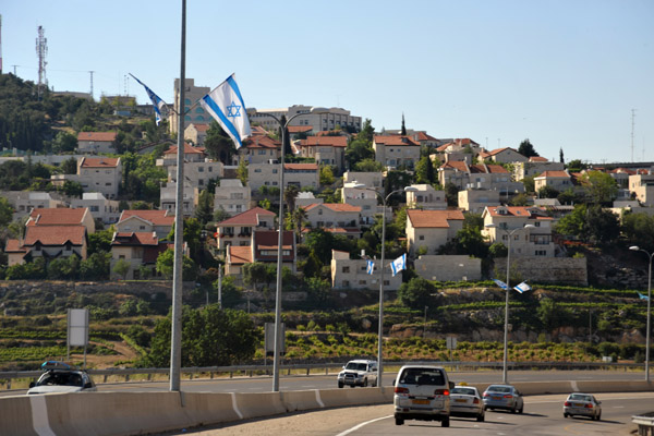
 Israeli settlement at Ramat Mamra Giv'at Harsina (junction with rte 3507) |
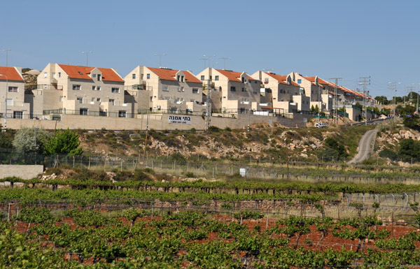 Israeli settlement at Ramat Mamra Giv'at Harsina (junction with rte 3507) |
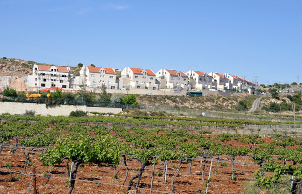
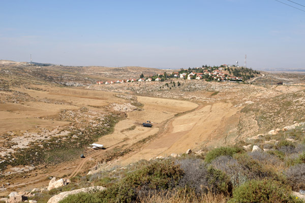
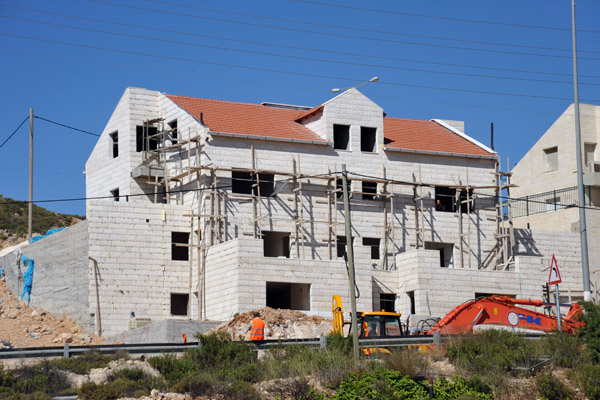 Israeli construction underway April 2010 less than 4 km from the center of Hebron |
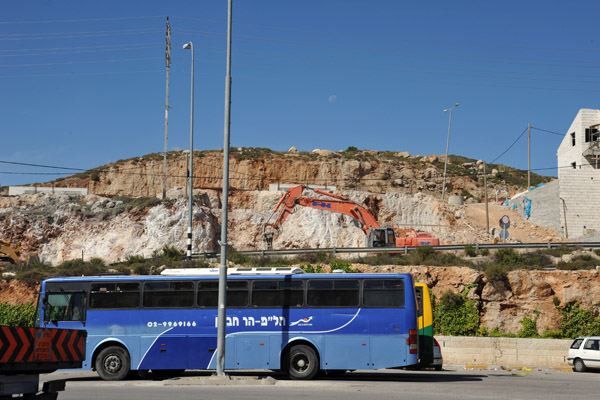 Making way for more Israeli construction at Ramat Mamra Giv'at Harsina, just northeast of Hebron |
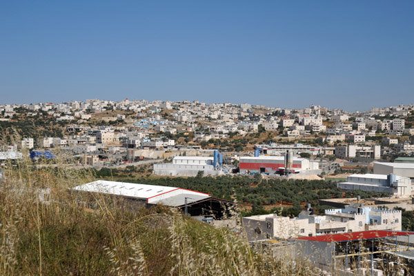 Hebron |
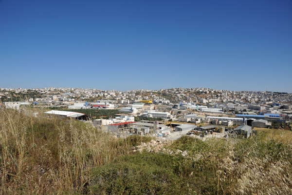 Hebron |
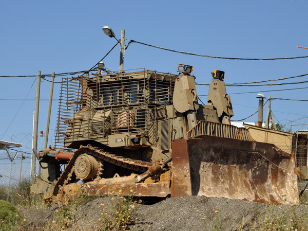 Armored Israeli army bulldozer parked along the Hwy 60 near Hebron |
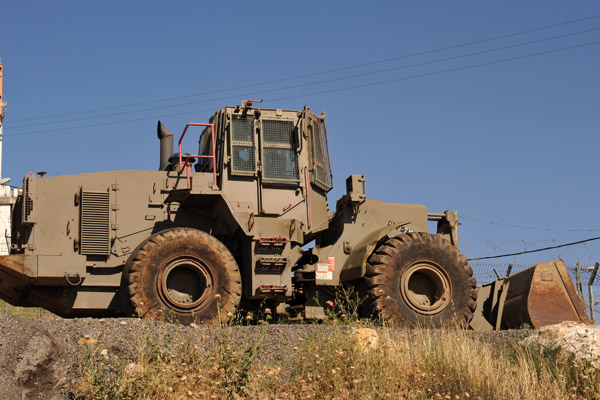 They're probably prominently displayed, probably as a warning to the Palestinians... |
 Continuing on Highway 60 south - Israeli settlement of Bet Haggai ahead on the left |
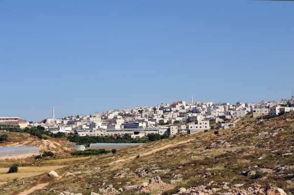 The Palestinian city of Hebron, the largest in the southern West Bank |
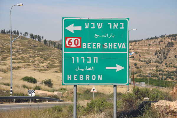 Another junction for Hebron |
 Hills south of Hebron with an Israeli watchtower overlooking Highway 60 |
 Israeli watchtower overlooking Highway 60 south of Hebron |
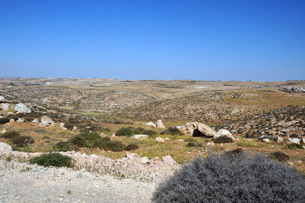
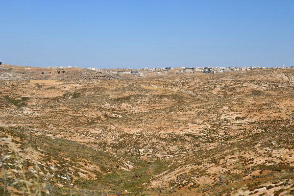
 South Hebron Hills, West Bank |
 South Hebron Hills, West Bank |
 Israeli flags along Highway 60 between Hebron and the Israeli border at Be'er Sheva |
 South of Hebron |
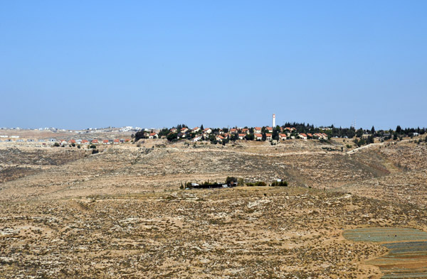
 The Israeli West Bank settlement of Shim'a, around 18km south of Hebron |
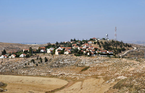 The Israeli West Bank settlement of Shim'a ( שִׁמְעָה ) established 1982 |
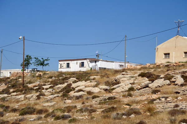 Tiny Israeli settlement just outside Shim'a |
 The Israeli West Bank settlement of Tene, a short distance from the Israeli border, 20 km NE of Be'er Sheva |
 The Israeli West Bank settlement of Tene, a short distance from the Israeli border, 20 km NE of Be'er Sheva |
 It's an interesting drive along Highway 60 from Jerusalem to Be'er Sheva, but be prepared for a long wait at the checkpoint |
 The Israelis took over an hour to search and disassemble my car before letting me back into Israel |
| comment | share |
| Sue Anne | 10-May-2020 18:14 | |
| joseantonio | 08-May-2010 01:18 | |