


|
|
|
|
|
|
| Brian McMorrow | profile | all galleries >> Asia >> China - 中国 >> Tibet - 西藏 (བོད་) >> Mountain Passes to Gyantse >> Simi-la Pass (4330m) | tree view | thumbnails | slideshow |
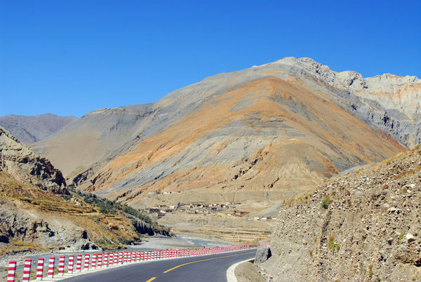
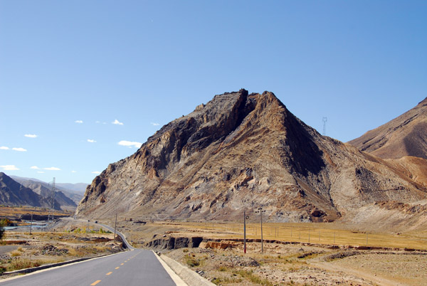
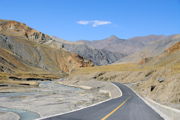 The Friendship highway heading west to cross Simi-la, the last mountain pass before reaching Gyantse |
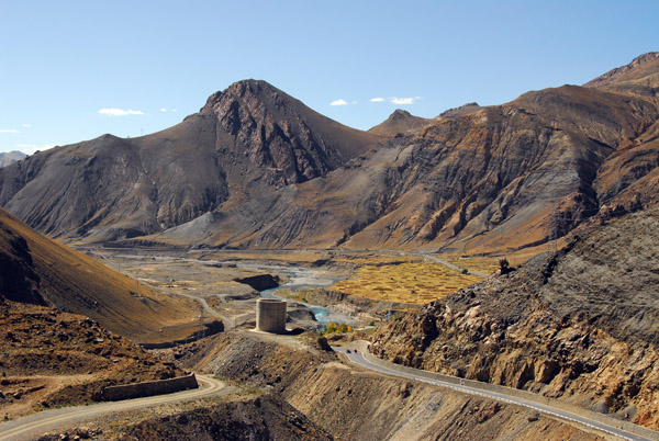
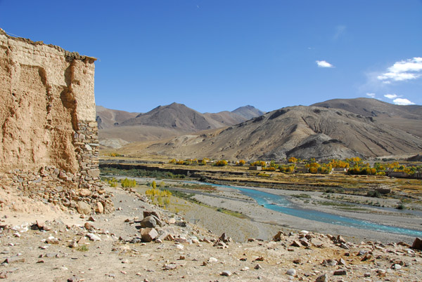
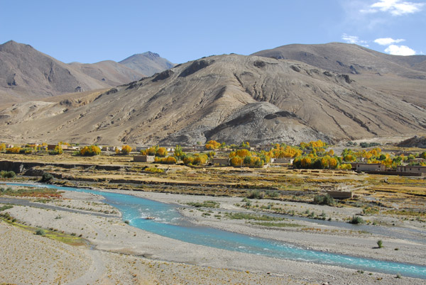
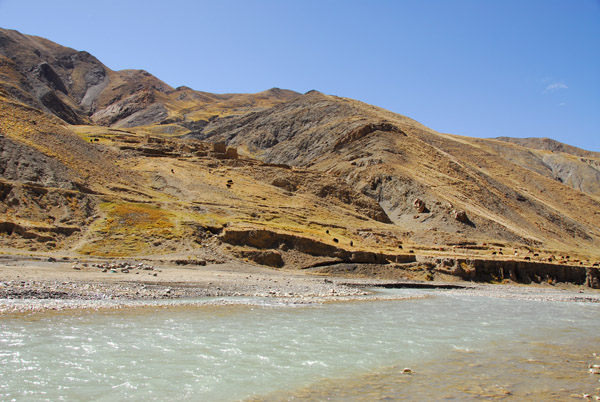 The water of this river will be captured behind a hydroelectric power station before joining the Yarlung Tsangpo at Shigatse |
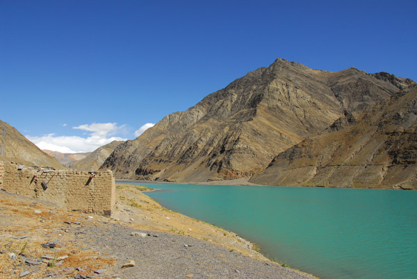
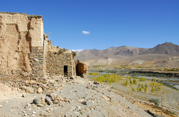
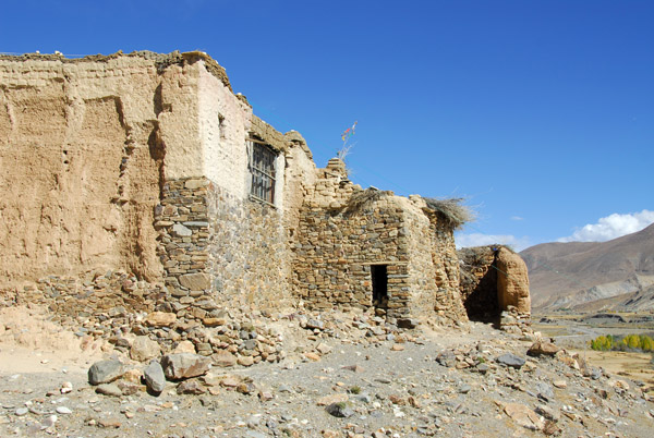
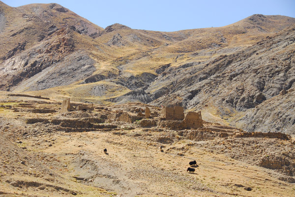 Ruins of a monastery or village on the south side of the Friendship Highway |
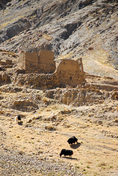 Yaks in front of ruins east of Simi-la |
 Arriving at the village of Lungmar at the east end of Simi-la Pass |
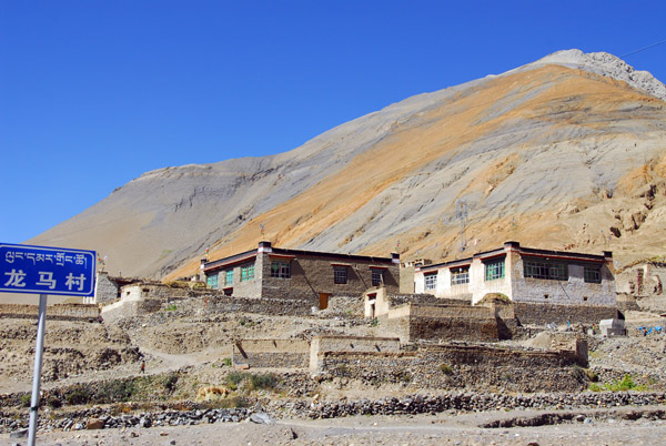 Lungmar, Tibet |
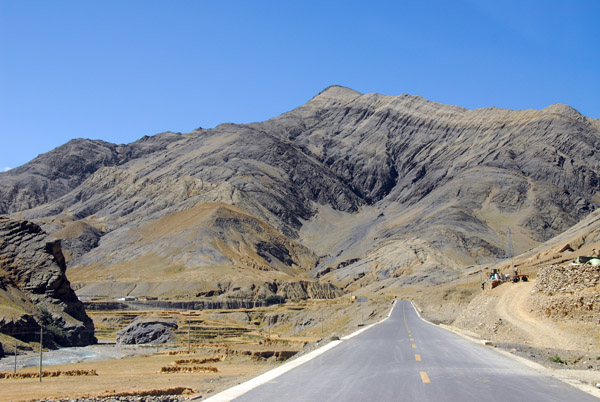 Friendship Highway heading for Simi-la Pass and Gyantse |
 I wonder if the lake will rise filling the valley to the east |
 The east end of the man-made lake at Simi-la |
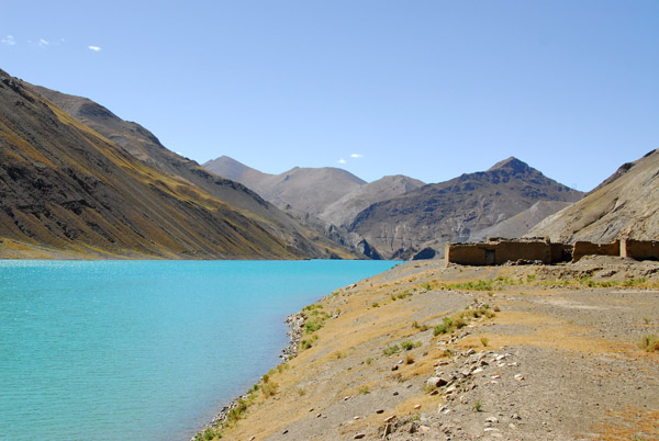
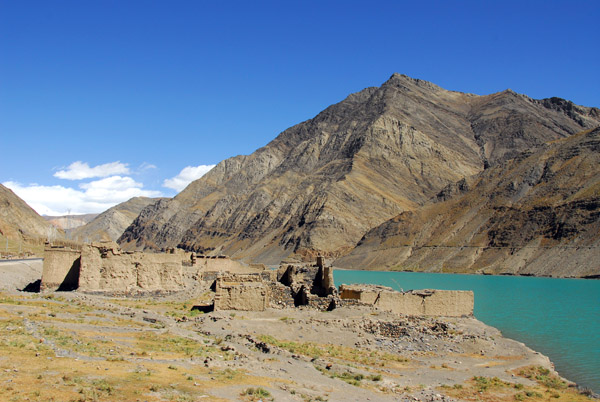
 Lakeside village abandoned to the rising waters |
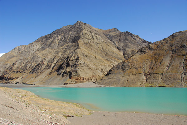
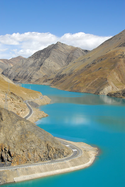
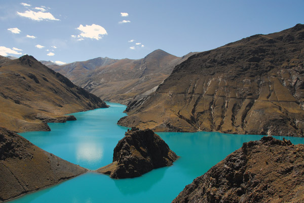
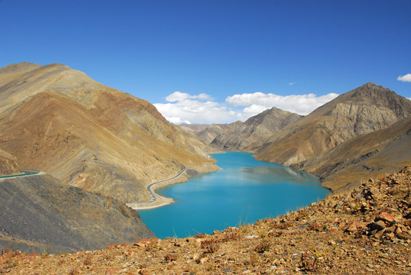
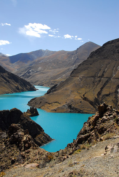
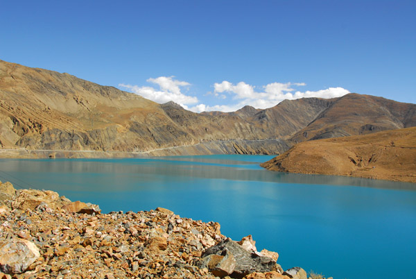
 Simi-la Lake, Tibet |
 Simi-la Lake |
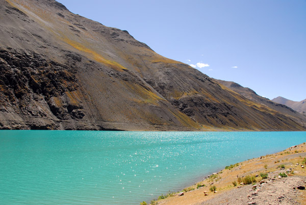 The turquoise color is similar to Yamdrok-tso Lake |
 Walking along the lake shore |
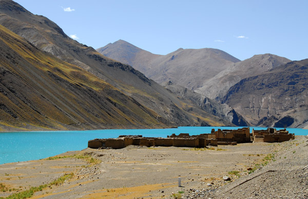
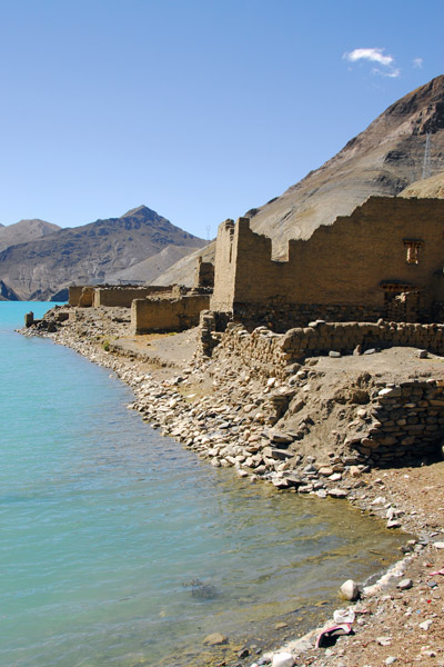
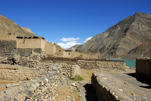
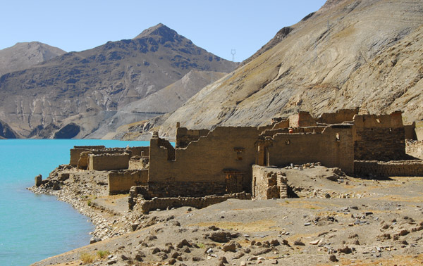 Ruins of an abandoned village on the north shore of Simi-la Lake |
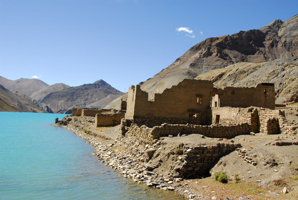 I do not know if the village was already a ruin, or if it was abandoned to the new lake |
 Village ruins, Simi Lake |
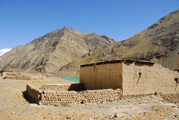 Abandoned village along the north shore of Simi Lake |
 Abandoned village along the north shore of Simi Lake |
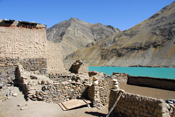
 Village ruins, Simi Lake |
 Abandoned village along the north shore of Simi Lake |
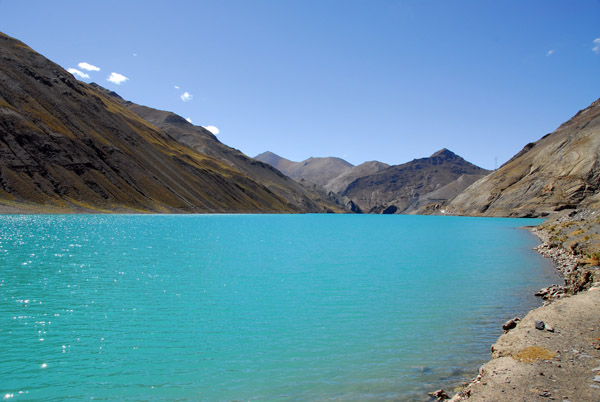 Glacial blue water of Simi Lake |
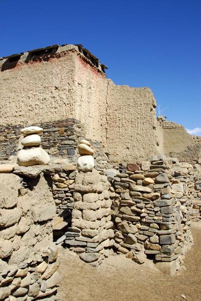
 Abandoned village along the north shore of Simi Lake |
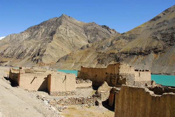 Abandoned village along the north shore of Simi Lake |
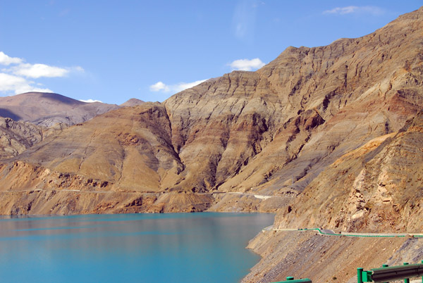
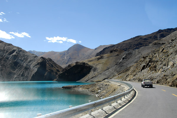 Continuing along the paved Friendship Highway along the north shore of Simi Lake |
 The road passes around a large curve in the lake |
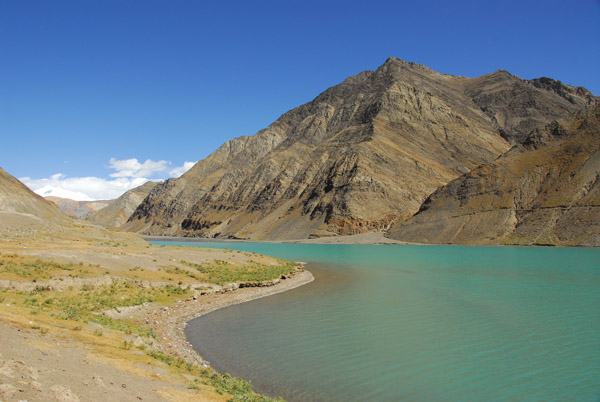
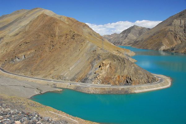
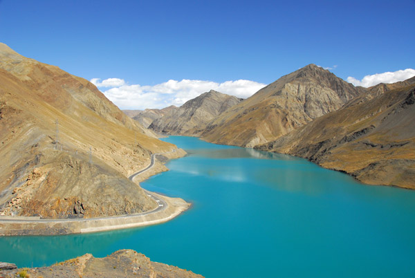
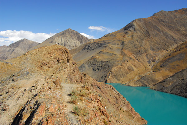
 Simi Lake from the road climbing to Simi-La Pass |
 Beautiful Simi Lake ca 13,950 ft MSL |
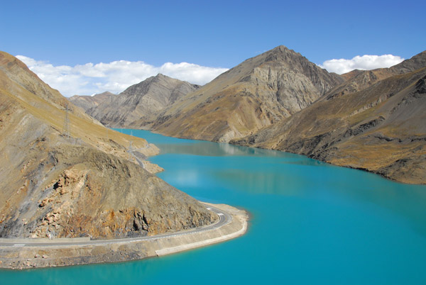
 Simi Lake |
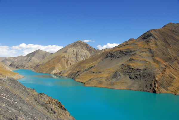
 The blue color is caused by finely ground rock known as "glacial flour" |
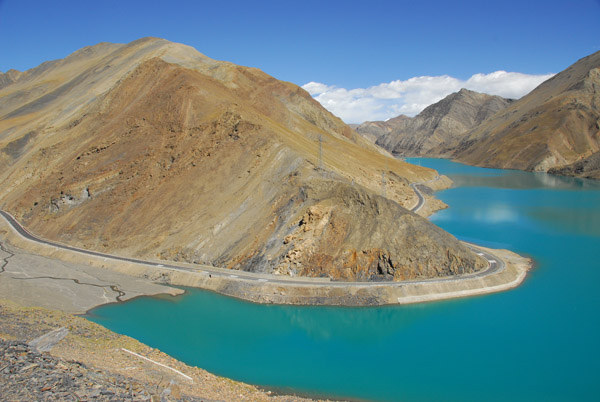
 Intense blue water of Simi Lake |
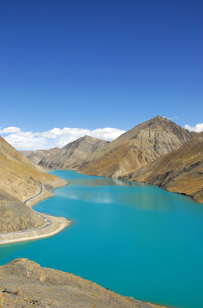
 Simi Lake from Simi-la Pass |
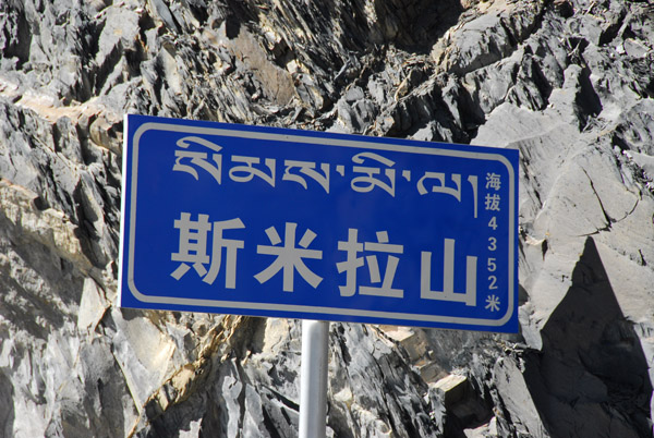 The summit of Simi Pass, noted here as 4352m |
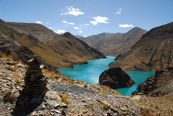
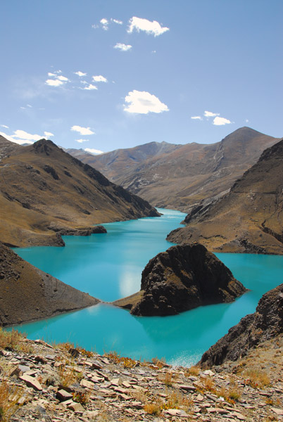
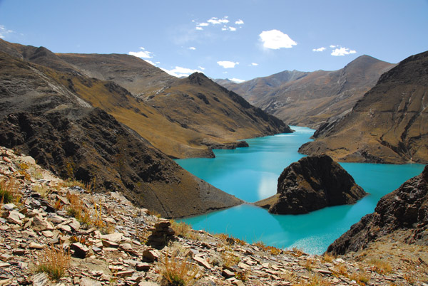
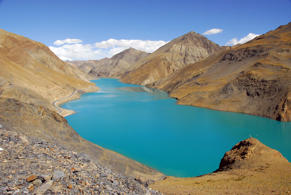 Looking east across Simi Lake from the summit of Simi Pass |
 Looking southwest to another branch of Simi Lake from the summit of Simi Pass |
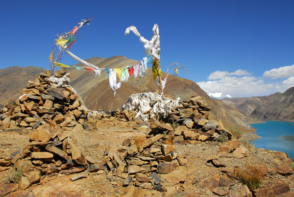
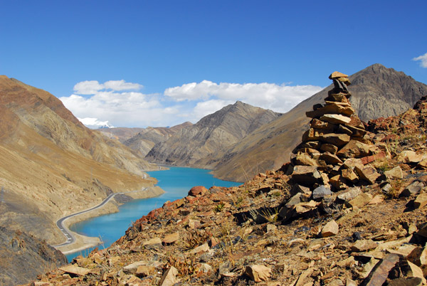 Stone cairns piled up by visitors to Simi Pass |
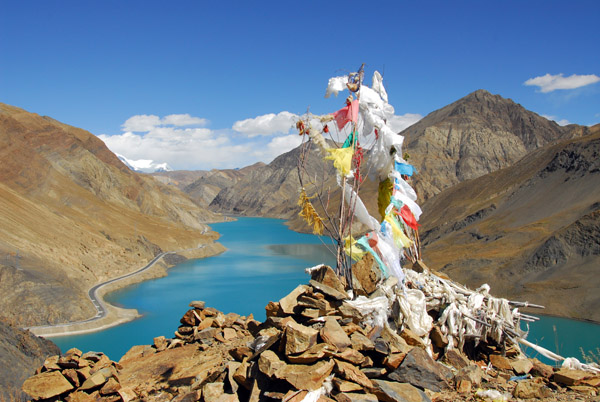 Prayer flags at the high point near Simi Pass |
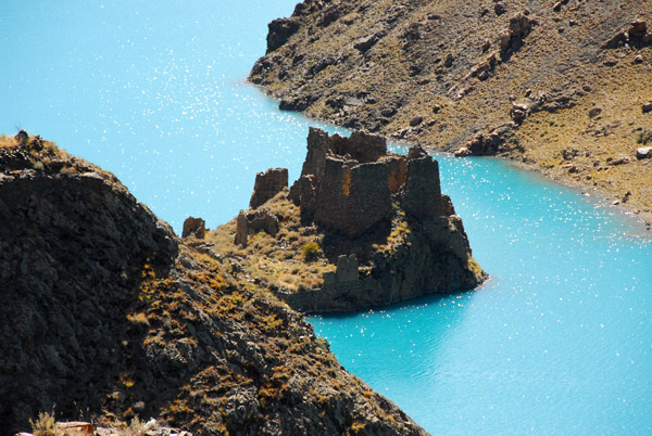
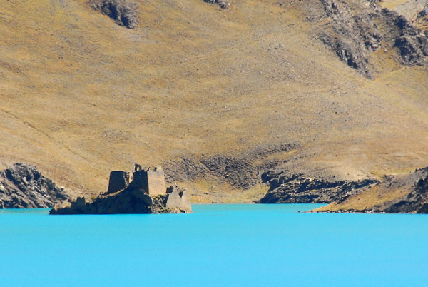
 The island in the lake, formerly a small peak, has the ruins of an ancient castle |
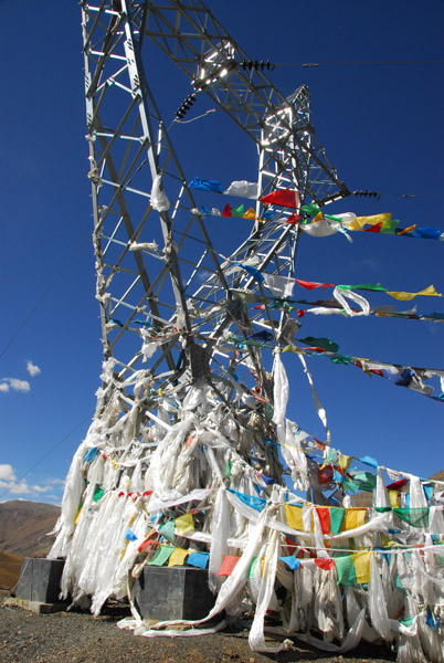 Transmission tower supporting prayer flags, Simi-la |
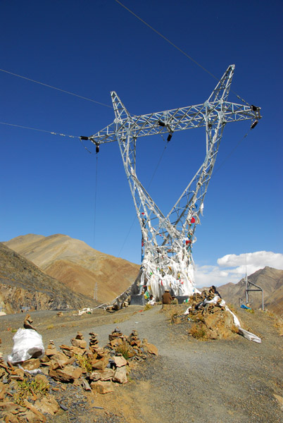 Transmission tower supporting prayer flags, Simi-la |
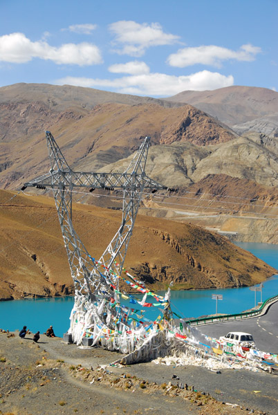 Transmission tower supporting prayer flags, Simi-la |
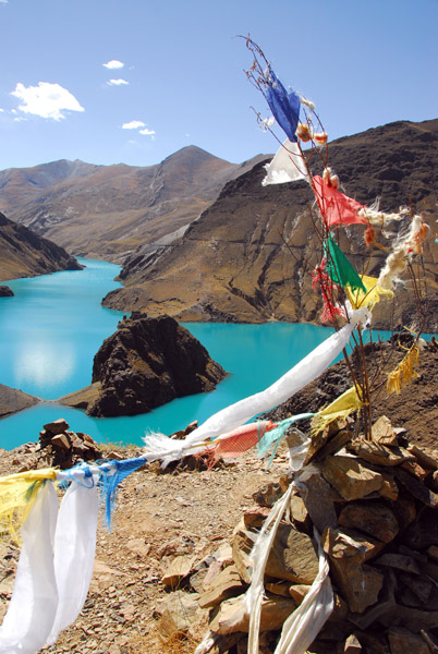 Prayer flags, Simi-la Pass |
 The hilltop next to Simi-la Pass with prayer flags |
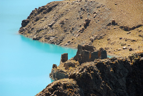 The castle ruins in Simi Lake (N28.829/E089.850) |
 View east from Simi-la Pass across the lake |
 Castle island, Simi Lake |
 View southwest to "Castle Island" Simi Lake |
 Simi Lake |
 I proposed a tourism project to have locals paddle tourists out to the castle |
 Simi Lake |
 The northern arm of Simi Lake headed towards the dam |
 The ruins of Simi Castle from lake level |
 Looking south from the northwestern shore of Simi Lake |
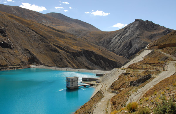 The dam of the hydroelectric power station that formed Simi Lake from a mountain river |
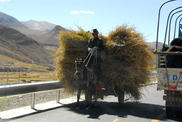 Horse-dran cart overloaded with hay along the Friendship Highway |
 The Friendship Highway descending past the Simi Lake power station towards Gyantse |
 Large hill rising next to the Friendship Highway with ancient ruins at the top |
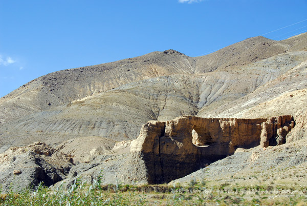 A natural arch a short distance west of Simi Lake along the Friendship Highway |
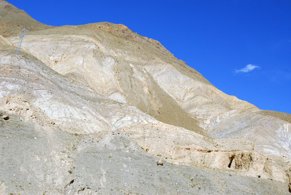 Arid mountain, west of Simi Lake |
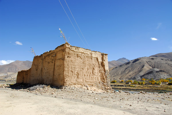 The ruins of a sturdy house, almost a castle |
 Ruins standing on a cliff overlooking the river with the village of Yartong on the south bank |
 Ruins of a sturdy house on a cliff above the river west of Simi-la |
 From the south side, the house looks a little less like a castle |
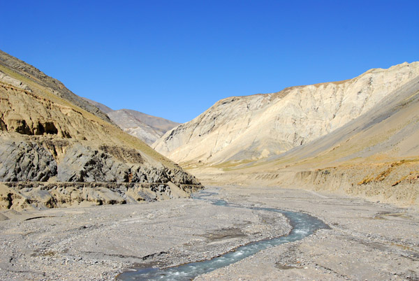
 The river below Simi Lake has the same characteristic turquoise blue color of finely ground rock powder formed by glaciers |
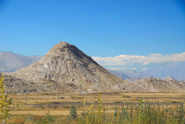 Conic peak rusing from the broadening valley as we near Gyantse |
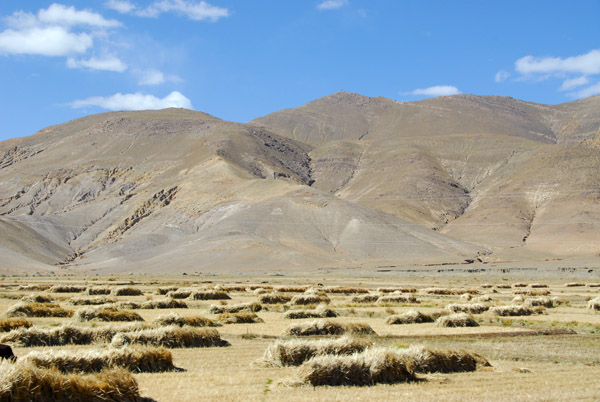 The harvest ready to be collected |
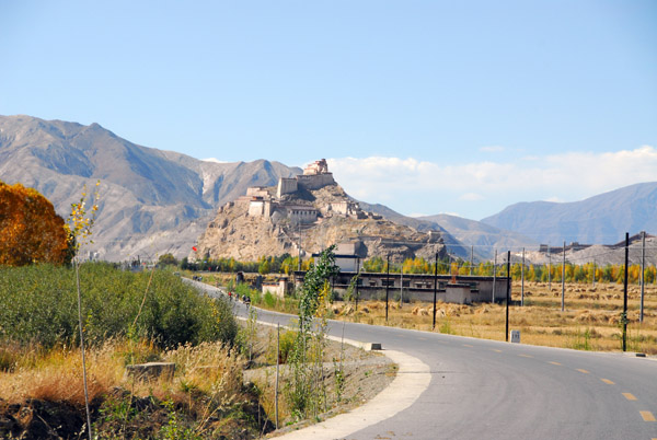 Gyantse comes into view at the end of a long day's drive from Tsetang |
| comment | share |