


|
|
|
|
|
|
| Brian McMorrow | profile | all galleries >> South America >> Peru >> Puno to Colca | tree view | thumbnails | slideshow |
 I didn't want to backtrack to Juliaca to take the main road towards Arequipa and Colca... |
 ...and my Hammond map dated 2007/2007 showed the road from Santa Luciato Imata passing south of Laguna Lagunillas |
 ...I thought we'd hit the main road shortly after Chuchuchune...but the map was wrong and the main road is north of the lake. |
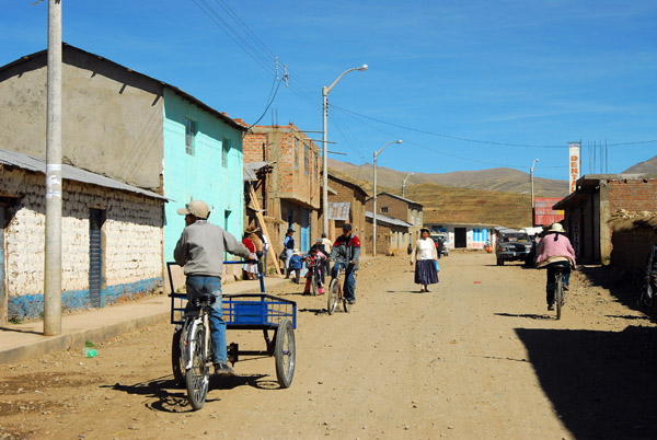
 From Puno we made good time to Tiquillaca |
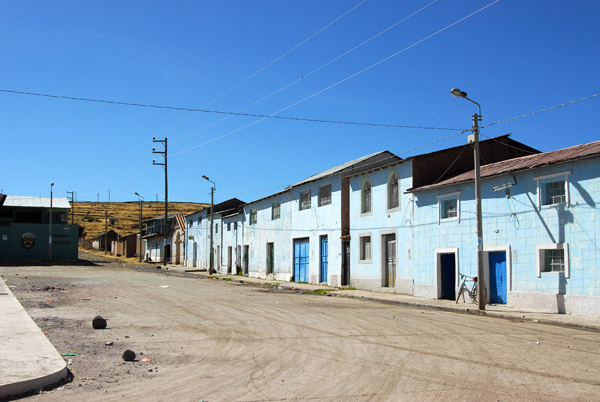 Dusty Plaza de Armas, Tiquillaca, Peru (Puno Region) |
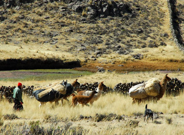 Pack llamas outside Tiquillaca |
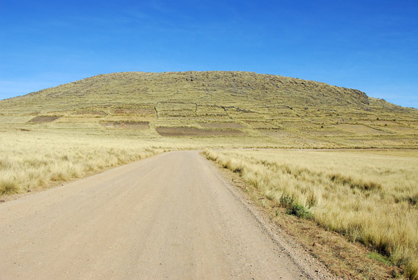
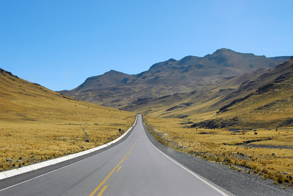
 Although slower than the main road, the scenery was pleasant ... |
 ... and no traffic |
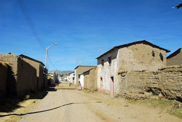 Main street of Vilque (3939m) 32km down the dirt road |
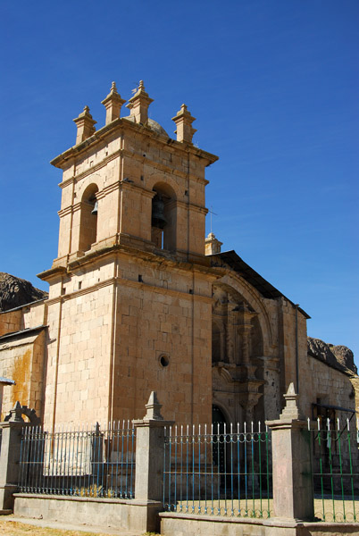 Church of Vilque (Puno) Peru |
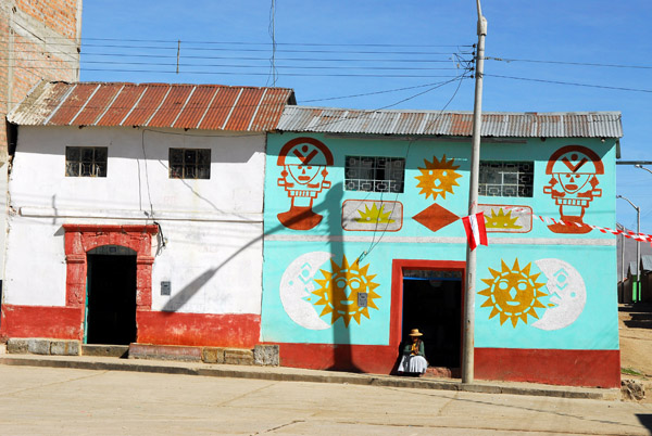 House painted with traditional sympols, Vilque |
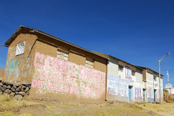
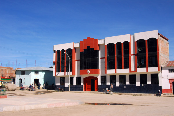 Municipalidad de Vilque |
 Plaza de Armas, Vilque (Puno) |
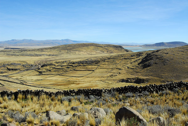
 Walled enclosure outside Vilque |
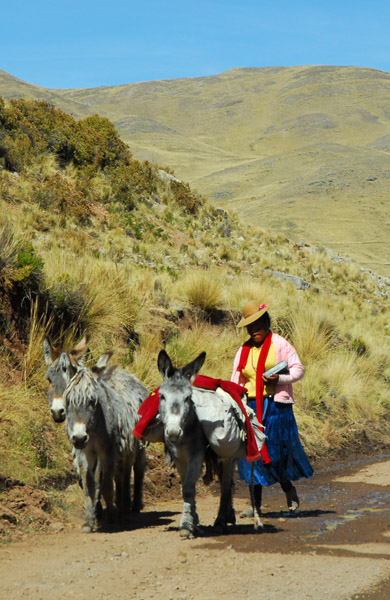
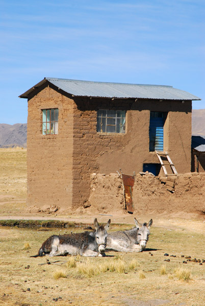 House with donkeys |
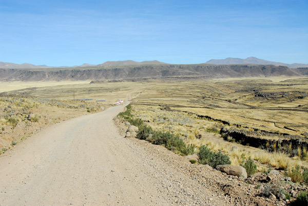
 We're not lost...yet...still en route to Ma�azo (Puno) |
 ...and the road is still pretty good |
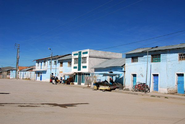
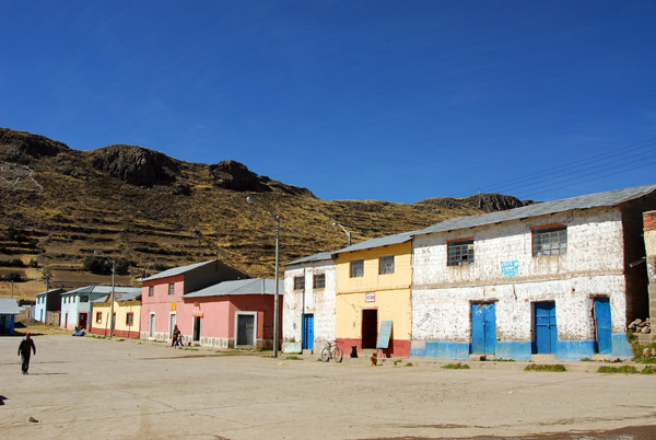
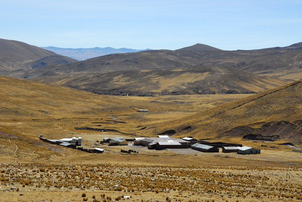
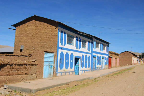 Ma�azo (Puno) Peru |
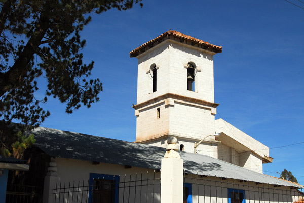 Church, Ma�azo (Puno) |
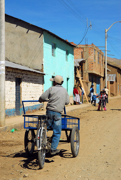 Ma�azo (Puno) |
 Ma�azo (Puno) |
 PeruJun08 3201.jpg |
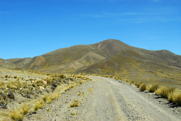
 Beyond Ma�azo, the road deteriorated and the locals thought we were crazy to go on |
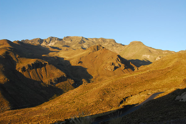
 But at least it was pretty |
 Our next waypoint on the map was the village of Chuchuchune |
 Off the beaten path |
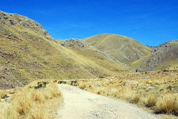
 ...At least there was only one road to follow |
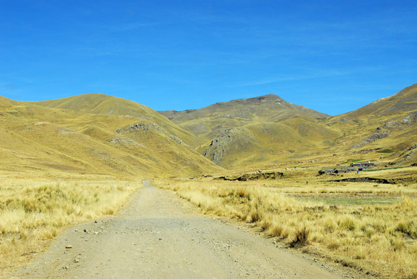
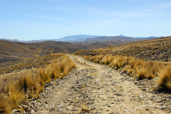
 The old road to Arequipa |
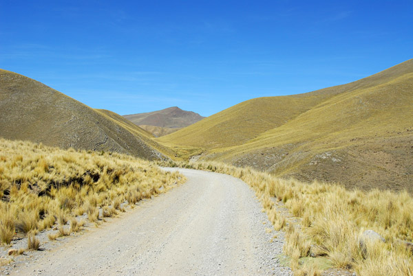 The old Puno-Arequipa road |
 Marcos, the guide, hadn't been this way before |
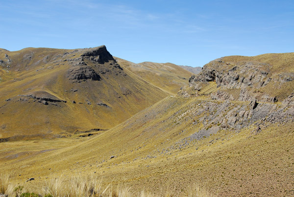 The old Puno-Arequipa road |
 The old Puno-Arequipa road |
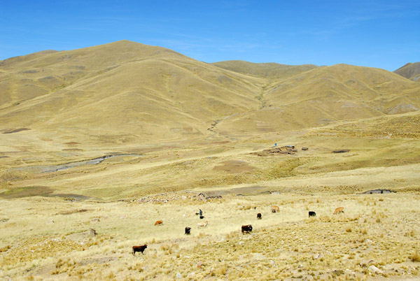
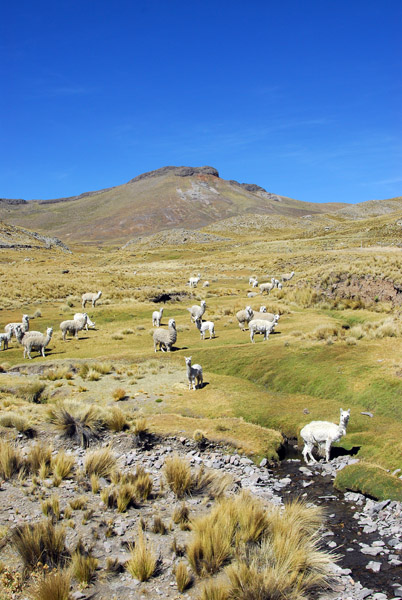 Herd of Alpaca by a stream |
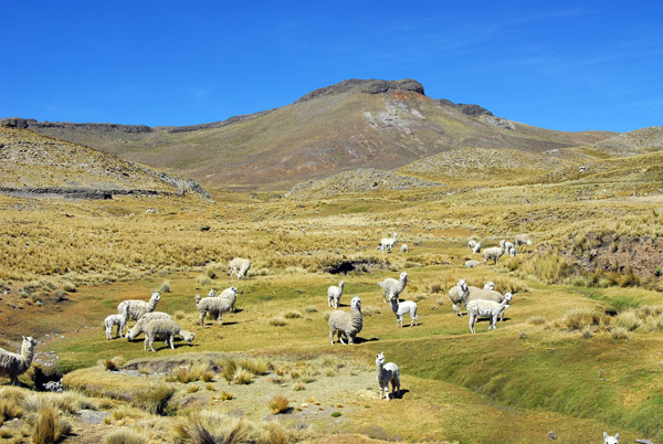 Definitely alpaca |
 We've seen more alpaca than people driving this way |
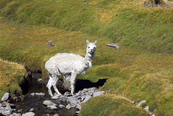
 Alpaca along the old Puno-Arequipa road |
 Could that be our waypoint Chuchuchune? |
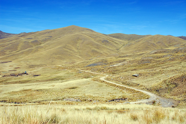
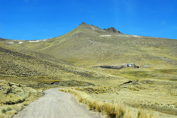
 The road continues on...nice thing is that there are km markers that are counting down |
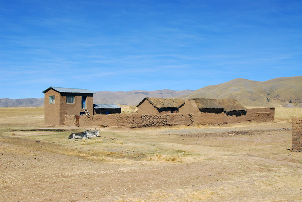
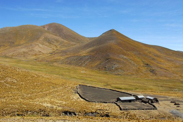 Livestock enclosure |
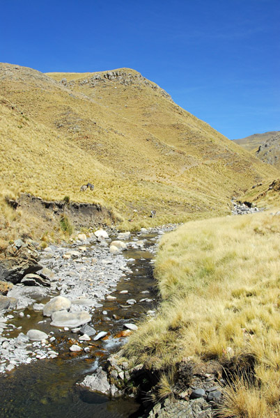
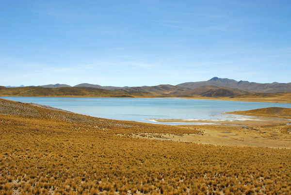
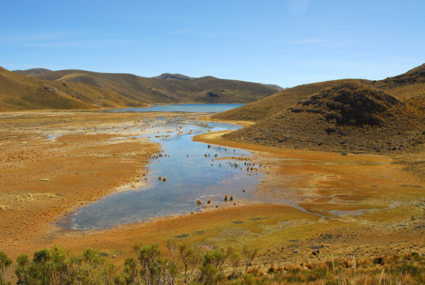
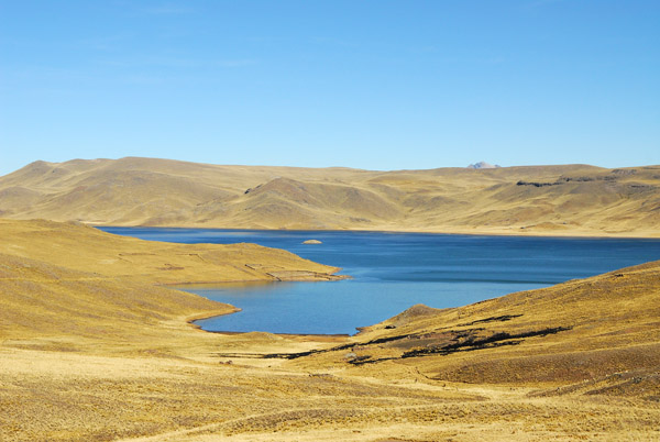
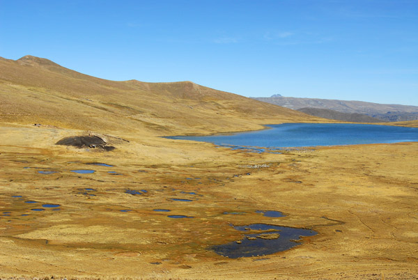 The first of several small lakes we pass - S15.9/W70.5 |
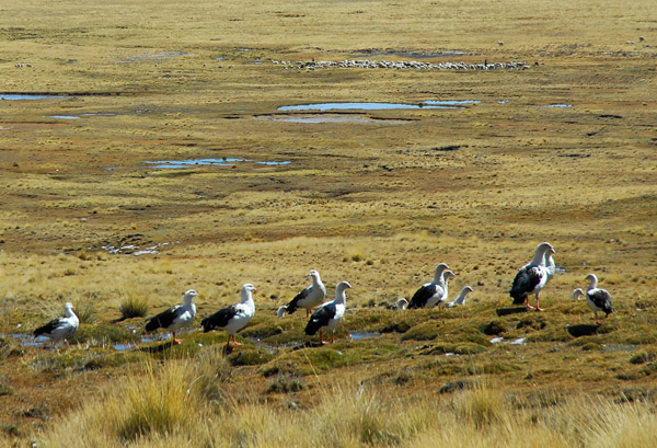 A flock of Andean Geese (Chloephaga melanoptera) |
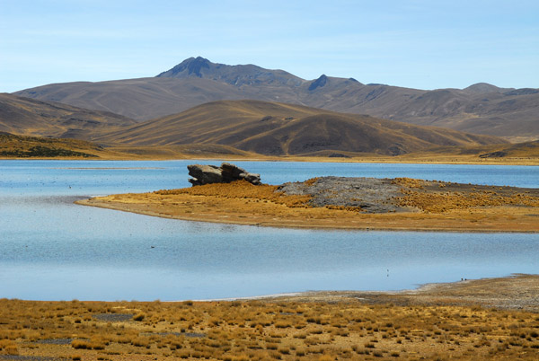
 The dirt road passes to the north of this small lake so it seems to be unmapped |
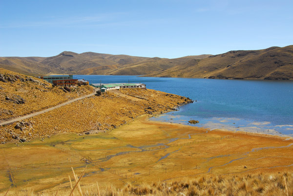
 Small lake in the high Andes (14,450ft) |
 A second lake in the distance (S15.9/W70.54) again, on the left |
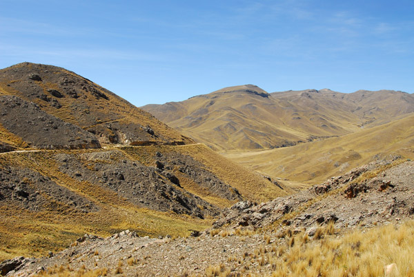
 Passage is very slow along this rough road...reminiscient of the road from Ayacucho to Andalhuaylas |
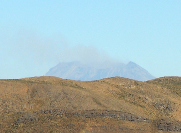 ...but a rewards...a real live smoking volcano!!! |
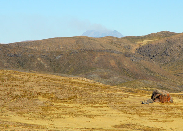 Most likely, Volcan Ticani (5408m) or Ubinas |
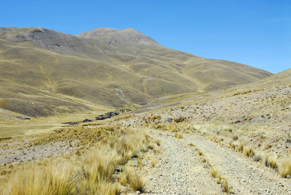 Sloooooow road! ...but still headed west |
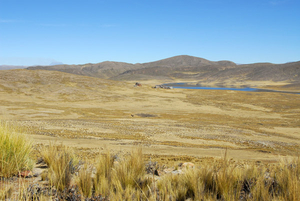
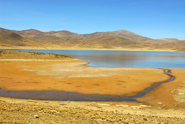
 Passing to the south of a third lake that is not on the map... |
 Third lake at S15.88/W70.56 |
 Somewhere around here was a tiny little track heading off to the left...which turned out to the the planned route |
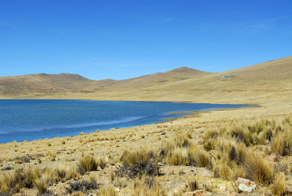
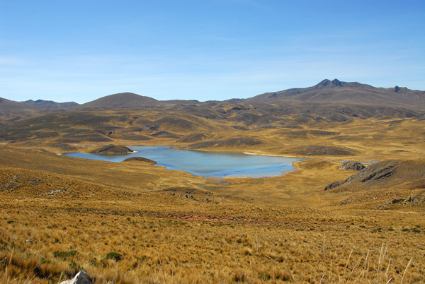 Another small lake, this one at S15.84/W70.6 |
 Now a lake to the west (S15.814/W70.62) |
 I'm a bit concerned since we're not headed generally north and the km markers are counting in the opposite direction |
 People here said the road to Arequipa is in the direction we're heading |
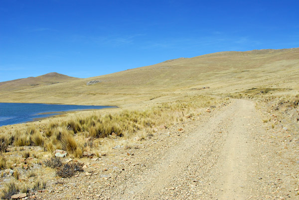
 The road is following the west shore of this lake northbound...to Santa Lucia |
 ....according to the map, we want to be going the other way...but the new road to Arequipa was not on my 2006/2007 Hammond map |
 Marcos is sure that we'll hit the new road going this way |
 ...and it turns out had we backtracked to the mapped route, we'd have never made Colca in one day |
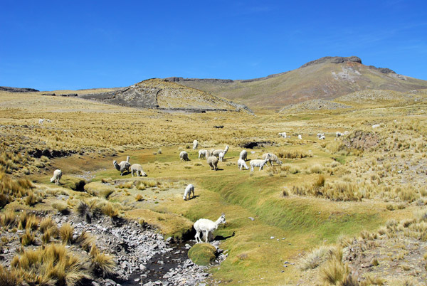
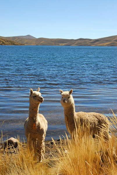 Alpaca |
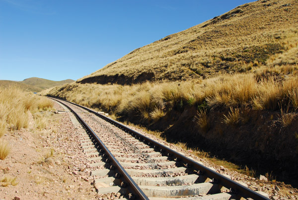 The Juliaca-Arequipa Railroad just south of Santa Lucia |
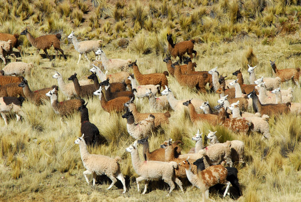 Large Llama herd, Santa Lucia |
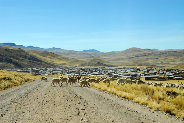 Approaching civilization, Santa Lucia |
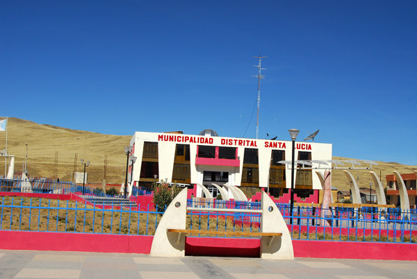 Municipalidad Distrital Santa Lucia |
 Our detour is over...the beautiful new road...which as of March 2009 isn't on Google Earth either |
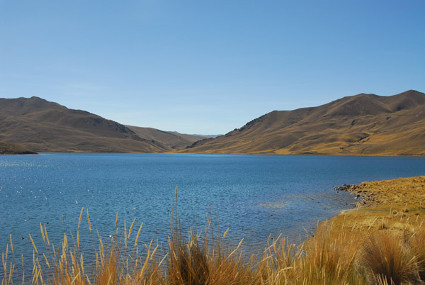
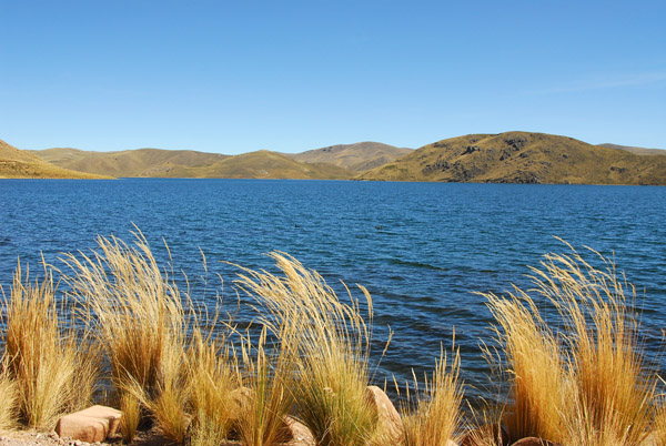
 Laguna Lagunillas, Peru |
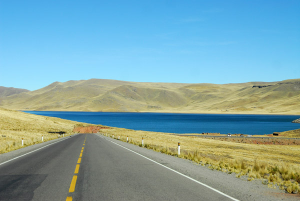 The new road from Juliaca to Arequipa on the north side of Laguna Lagunillas |
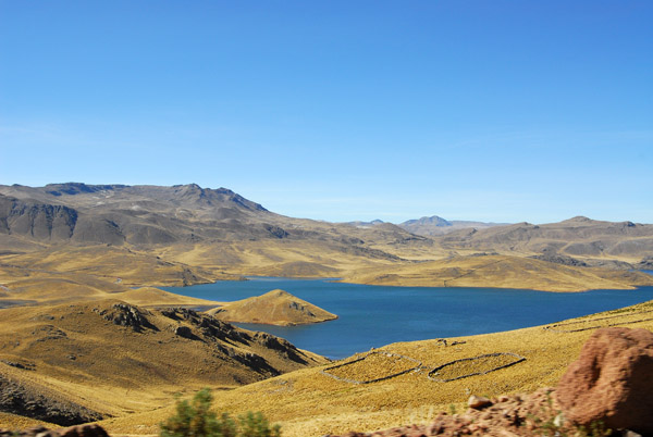 Now southbound on the western shore of Laguna Lagunillas headed to Imata |
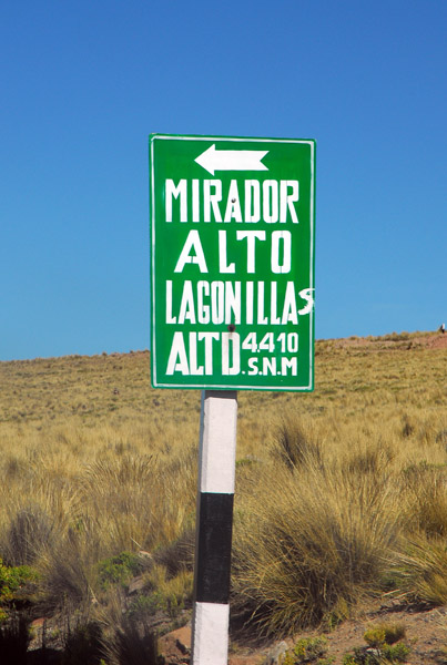 Mirador Laguna Lagunillas - 4410m |
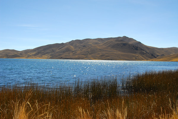
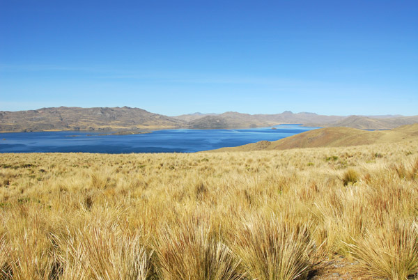 Laguna Lagunillas |
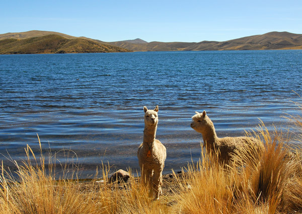
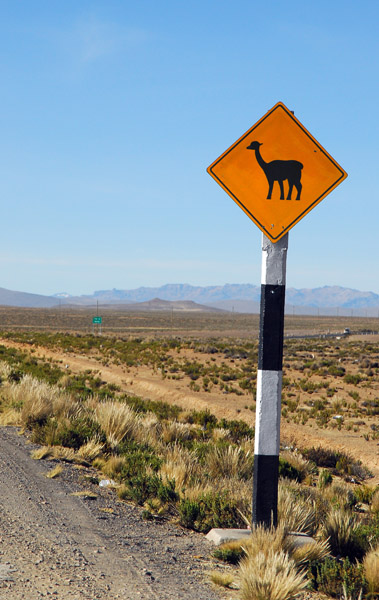
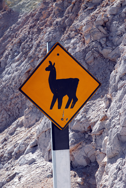 Llama crossing, Peru |
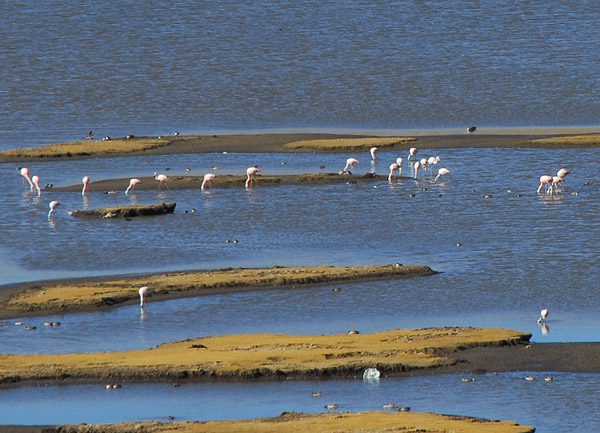 Flamingos in an Altiplano pond, Peru |
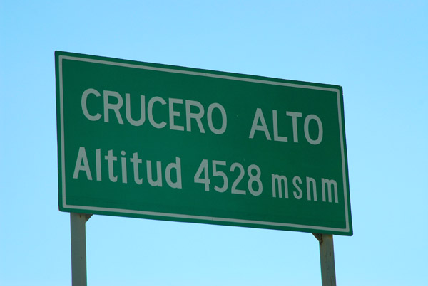 High pass - Crucero Alto - 4528m (14,855ft) |
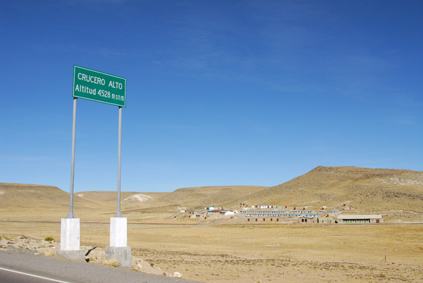 Crucero Alto, not quite as high as Abra Anticona |
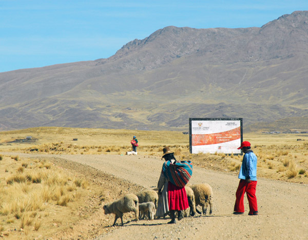
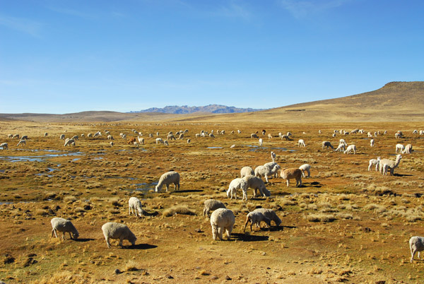 Mixed flock of sheep and alpaca |
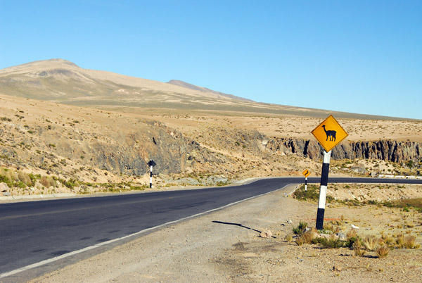
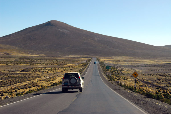
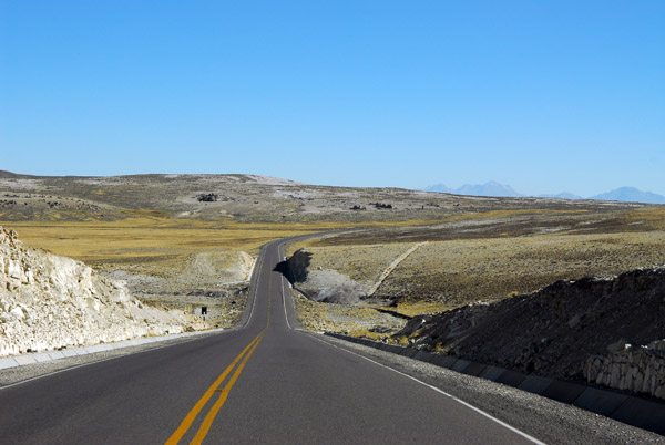 Peru route 30A, the new Juliaca-Arequipa road |
 Crossing from the Puno Region to the Arequipa Region |
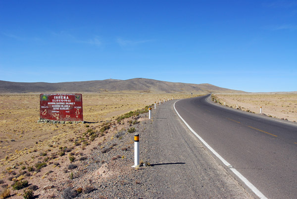
 Reserva Nacional Salinas y Aguada Blanca, Peru |
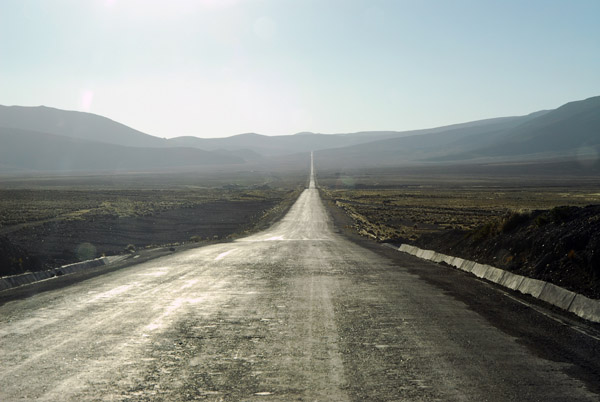
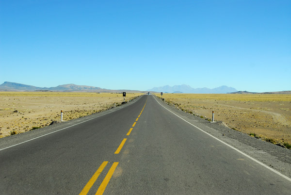 Straight road across the Altiplano, Salinas National Reserve |
 Leaving Imata behind us |
 Reserva Nacional Salinas y Aguada Blanca |
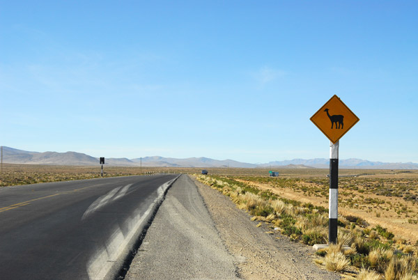
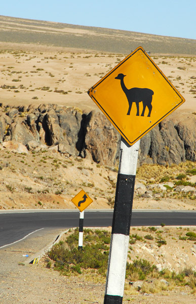
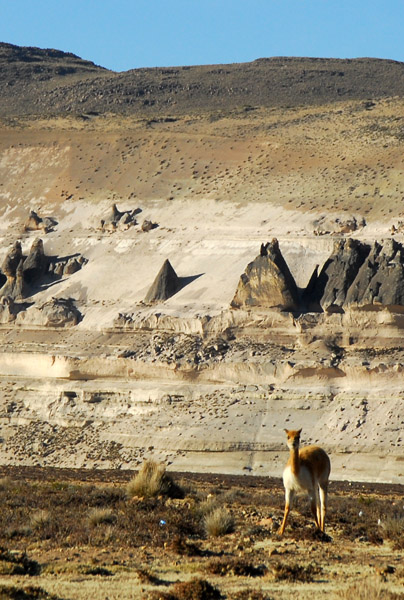
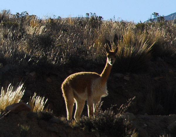
 Vicu�a crossing sign, Peru |
 Vicu�a (Vicugna vicugna) are one of four species of camelid (the others are llama, alpaca and guanaco) |
 Vicu�a crossing, Peru |
 Reserva Nacional Salinas y Aguada Blanca |
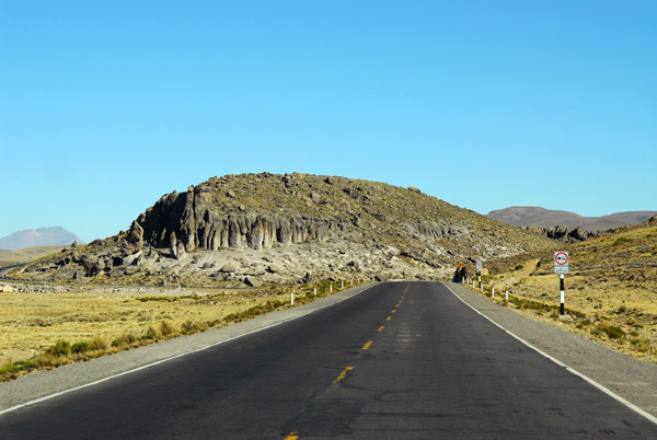
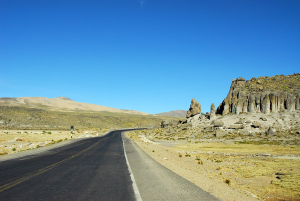
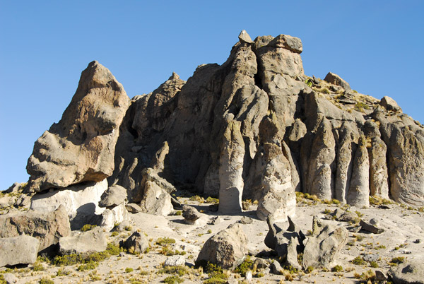
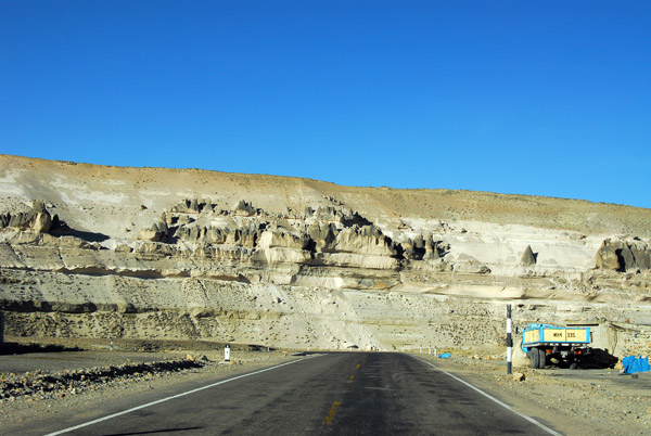
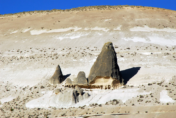
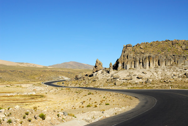 Interesting rock formations along Highway 30A through the Salinas National Reserve |
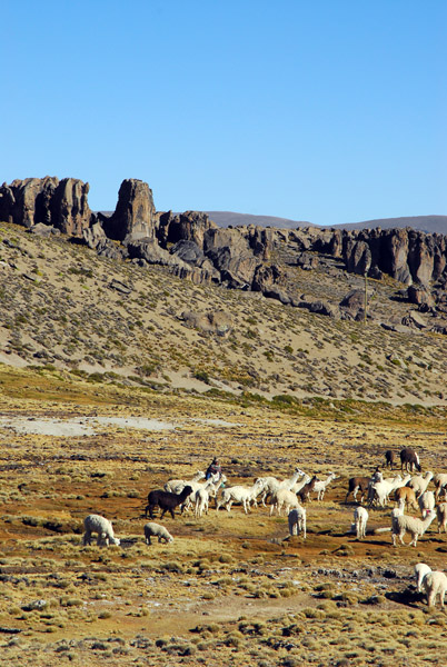
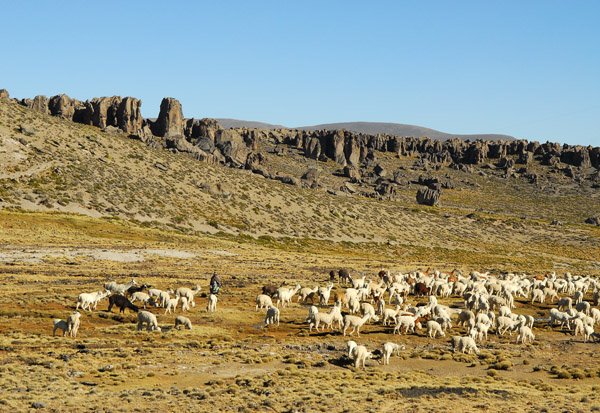 The local people are still able to graze their flocks within the reserve boundaries |
 Reserva Nacional Salinas y Aguada Blanca |
 Reserva Nacional Salinas y Aguada Blanca |
 Reserva Nacional Salinas y Aguada Blanca |
 Reserva Nacional Salinas y Aguada Blanca 4000m |
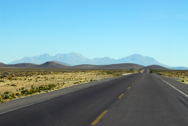
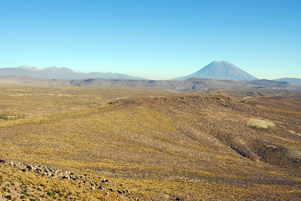
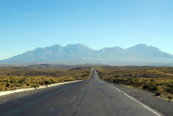
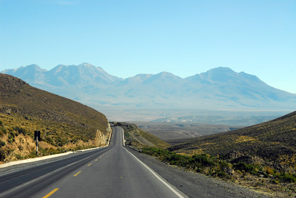 Heading towards the volcanoes of Arequipa - Nevado Chachani 6057m (19,872ft) |
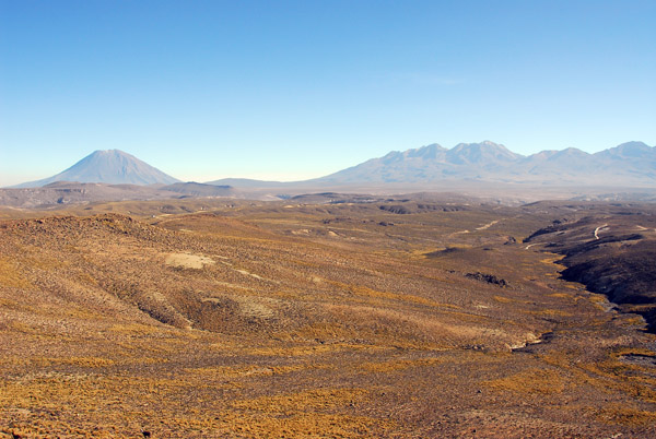 Volcan Misti on the left and Nevado Chachani on the right |
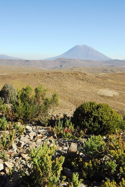
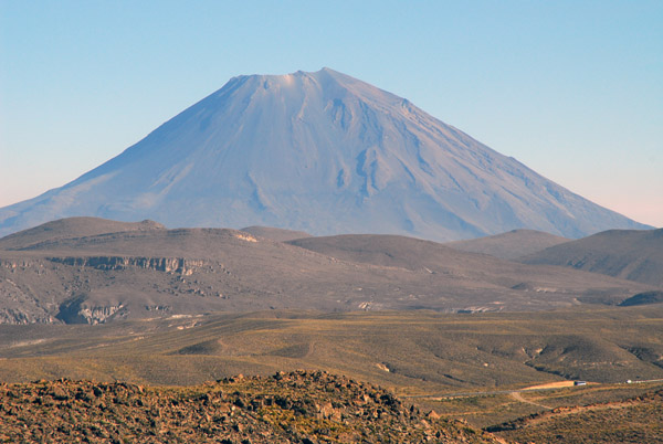 El Misti, an impressive volcanic cone - 5822m (19,101ft) |
 El Misti |
 Looking accross the Salinas y Aguada Blanca reserve to El Misti |
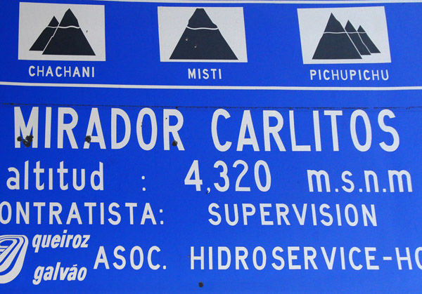 Mirador Carlitos 4320m (14,173ft) |
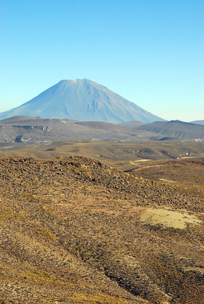
 El Misti |
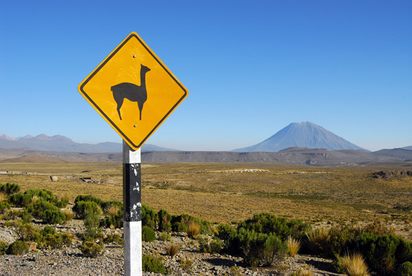 Vicu�a wildlife sign with El Misti, Reserva Nacional Salinas y Aguada Blanca |
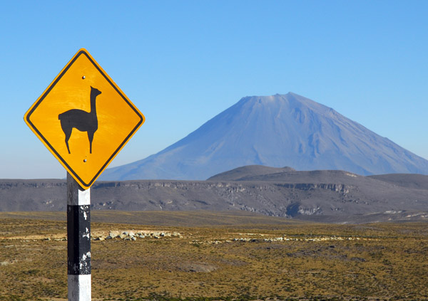 Vicu�a wildlife sign with El Misti, Reserva Nacional Salinas y Aguada Blanca |
 The road headed straight for Nevado Chachani |
 Reserva Nacional Salinas y Aguada Blanca |
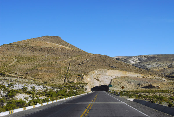
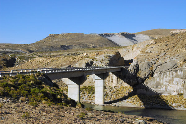 Puente Sumbay, bridge over the Rio Chili, Peru |
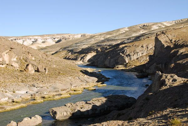 Rio Chili, Peru |
 Reserva Nacional Salinas y Aguada Blanca |
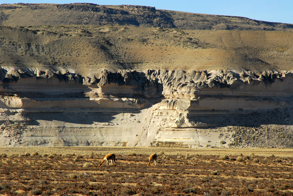
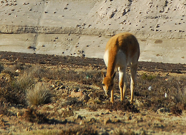 Vicu�a (Vicugna vicugna) were hunted for their fine coat |
 Vicu�a (Vicugna vicugna) |
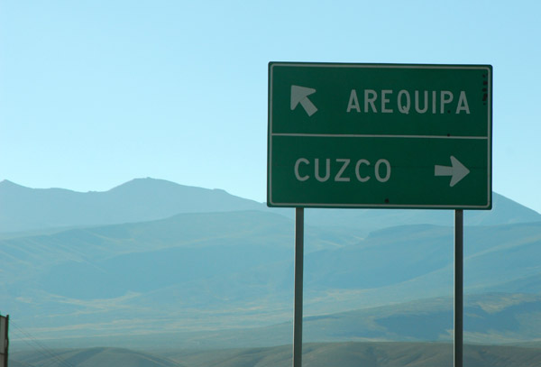 Here, we turn north away from Arequipa heaed to Chivay and Colca Canyon |
 We'll only be on the road to Cusco for a short time |
 Eroded stone formations |
 Vicu�a (Vicugna vicugna) |
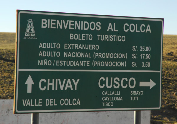 The turn-off from the main road to Chivay and Colca Canyon |
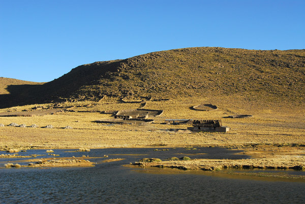 Wetlands alongside the road |
 Straight road across the Altiplano headed into the sun |
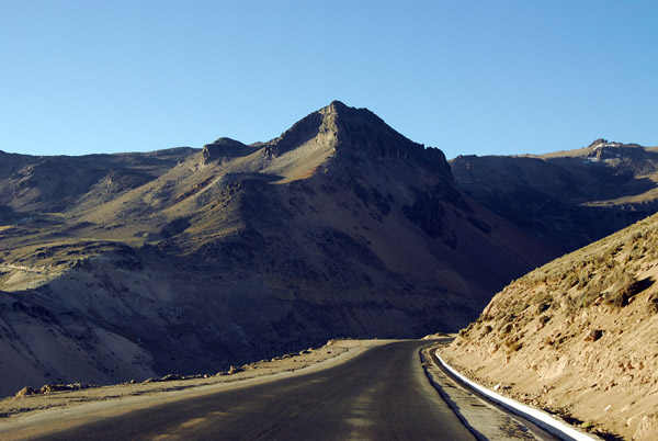 The road to Chivay and Colca Canyon climbing |
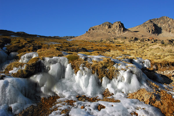 Ice alongside the road |
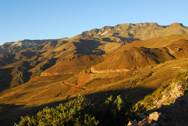
 Scenic drive to Chivay |
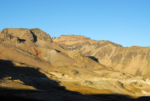
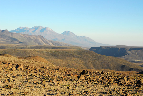 Distant volcanoes |
 Another distant volcano |
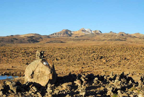
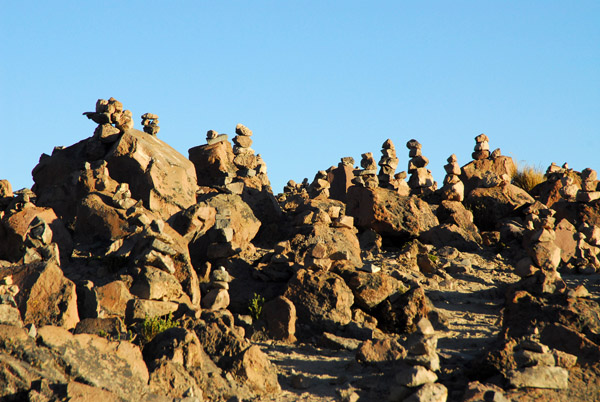 Rocks piled at the high point on the road to Chivay at 4860m (15,944ft) |
 Road to Chivay and Colca Canyon |
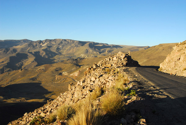
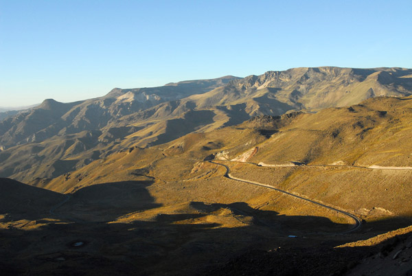 Starting the long descent to Chivay |
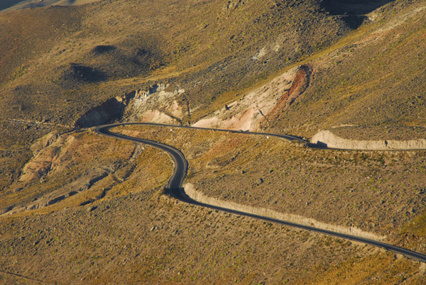 Road winding down the mountain to Chivay |
 The final decent to Chivay and Colca |
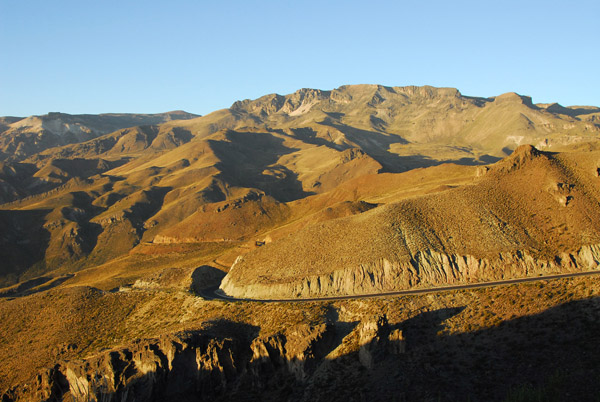
 The descent to Chivay |
 Mountains along the road to Chivay |
| comment | share |