


|
|
|
|
|
|
| Brian McMorrow | profile | all galleries >> South America & Antarctica >> Peru >> Cusco to Puno | tree view | thumbnails | slideshow |
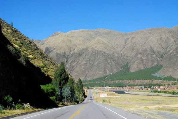
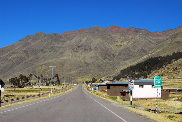
 San Sebastian, the first town outside of Cusco on Route 3S to Puno, the Gringo Trail |
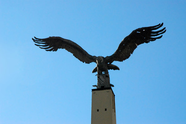
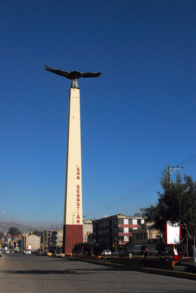 Condor monument at the entrance to San Sebastian |
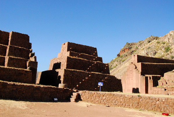 Inca ruins at Rumicola, ca 40 km from Cusco |
 Inca ruins at Rumicola |
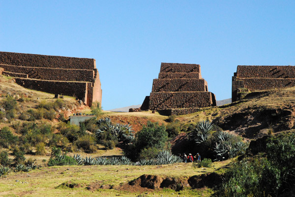 Inca ruins at Rumicola |
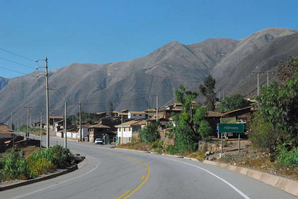 Pinipampa, Peru |
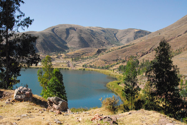 Laguna de Urcos, Peru |
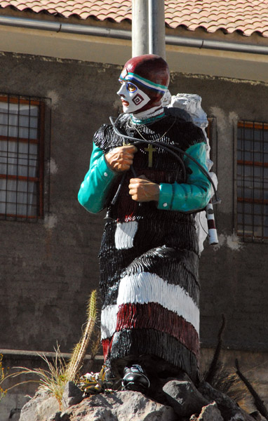 Statue of a folkloric figure, Urcos |
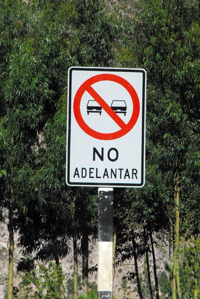 Spanish road sign - No Adelantar |
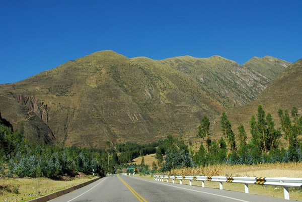
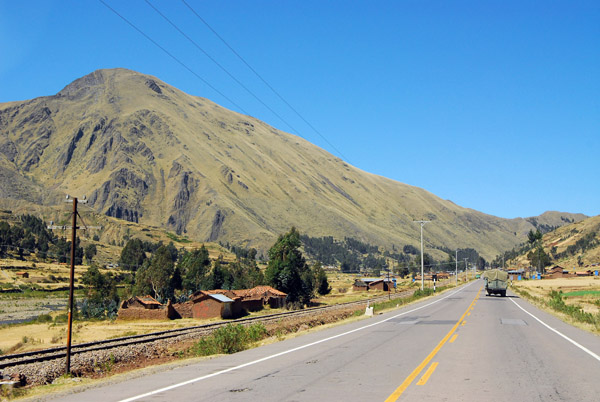
 Peru route 3S between Urcos and Quiquijana |
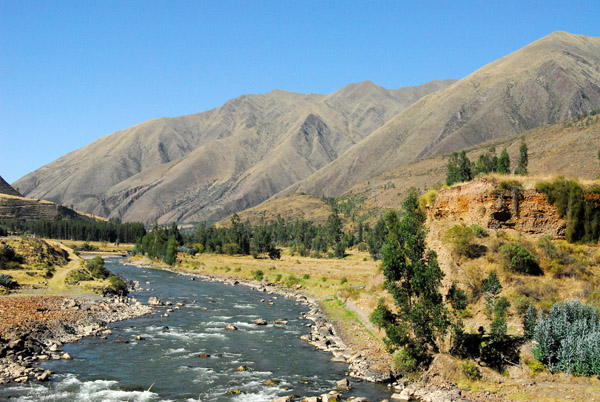 Rio Vilcanota, Peru |
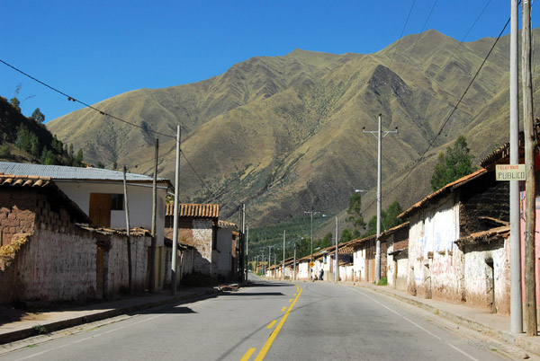 Village between Urcos and Quiquijana |
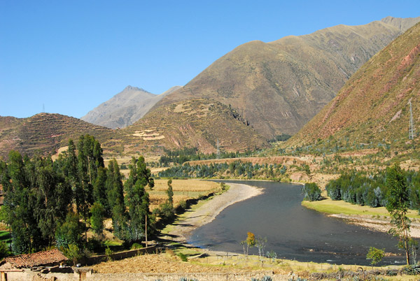 Rio Vilcanota, Peru |
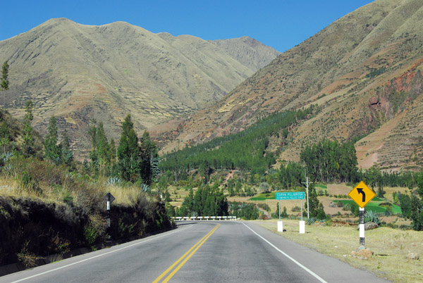
 Peru route 3S between Urcos and Quiquijana |
 Route 3S, south of Quiquijana |
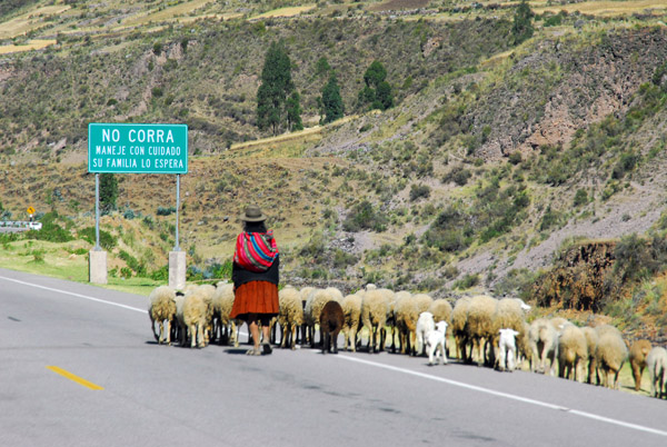 Herd of sheep along the main road |
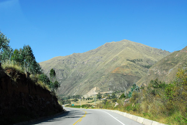 Route 3S, near Llocllora |
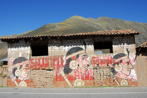 Si Cumple - Peruvian political party, formerly Alberto Fujimori's Vamos Vecino party |
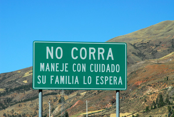 NO CORRA Maneje Con Cuidad Su Familia Lo Espera "Don't run (speed), drive with care, your family will wait for you |
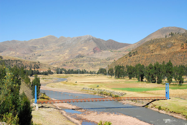 Pedestrian suspension bridge over the Rio Vilcaota near Combapata |
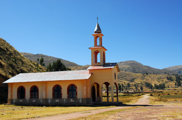
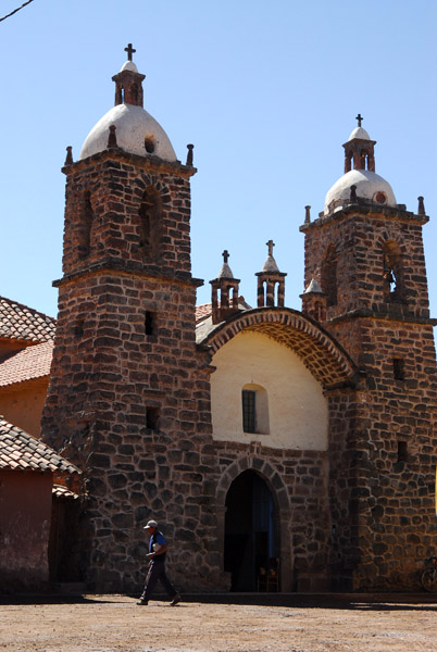 Colonial church of village of San Pedro |
 San Pedro is the village next to the ruins of Raqchi |
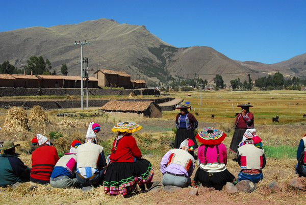
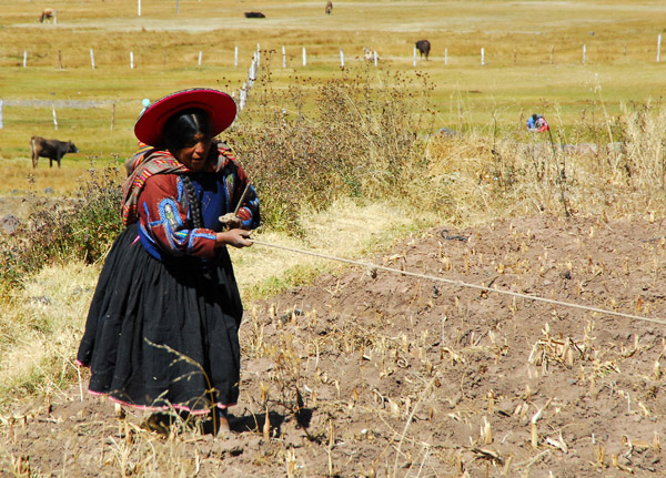 Peruvian Indian woman pulling a rope (with a cow on the other end) San Pedro de Raqchi |
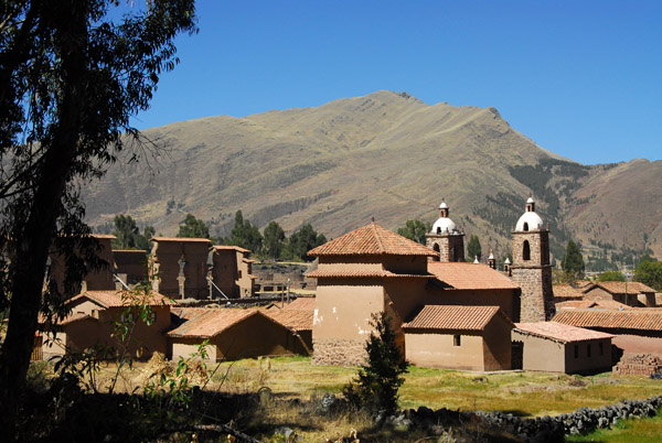 San Pedro and Raqchi |
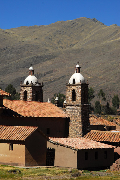 Iglesia de San Pedro |
 Church of San Pedro, Raqchi |
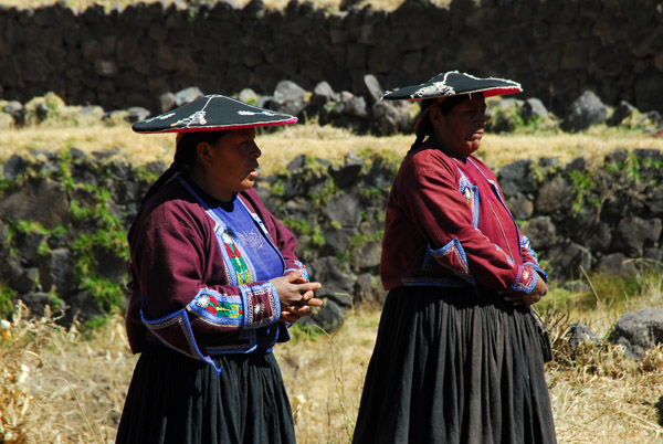
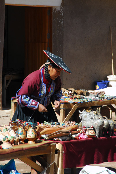 Traditionally dressed woman, San Pedro-Raqchi |
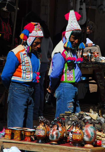 Traditional men's costume, San Pedro-Raqchi |
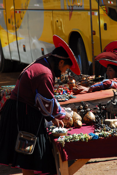 Market of San Pedro-Raqchi |
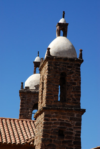
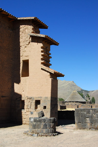
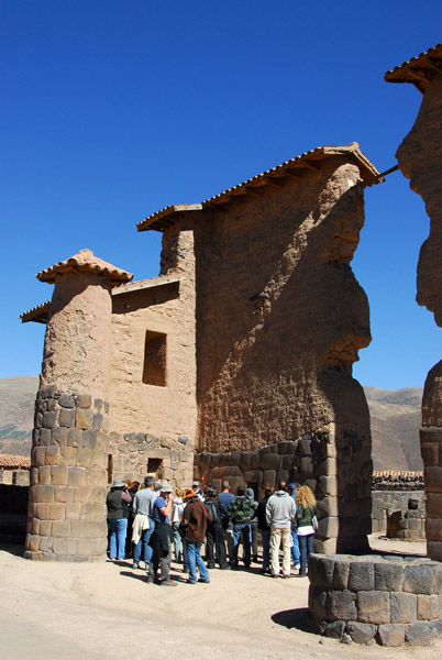
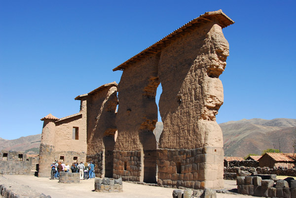
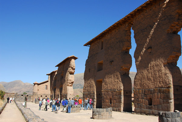
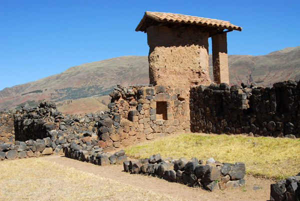
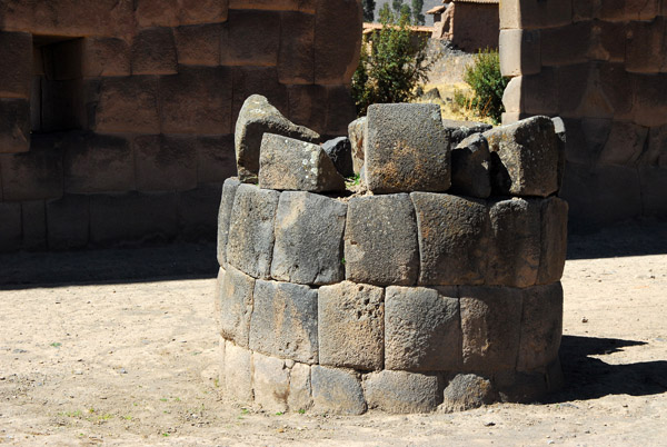 Inca ruins, Raqchi - Temple of Viracocha |
 Raqchi |
 Raqchi |
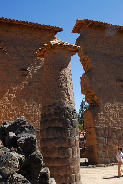 One of 22 columns, Temple of Viracocha |
 Templo de Viracocha, Raqchi |
 Temple of Viracocha, Raqchi |
 Temple of Viracocha, Raqchi |
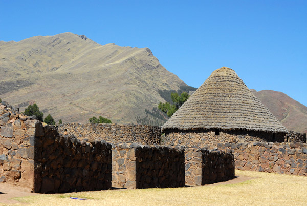
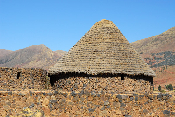 Restored thatched roof of a hut at Raqchi |
 Templo de Viracocha, Raqchi |
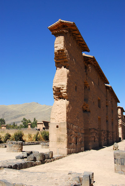 Temple of Viracocha, Raqchi |
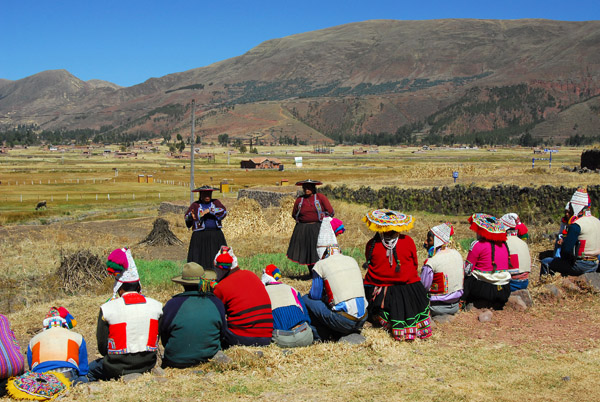 Community meeting of some type near the ruins of Raqchi |
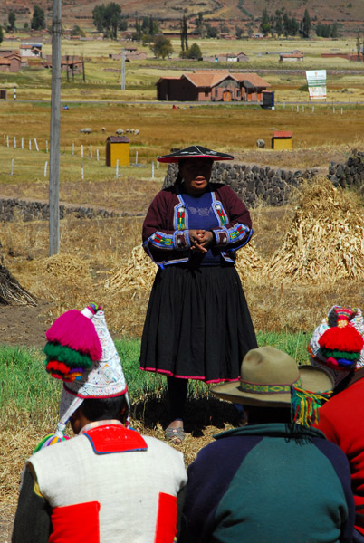 Woman addressing the group |
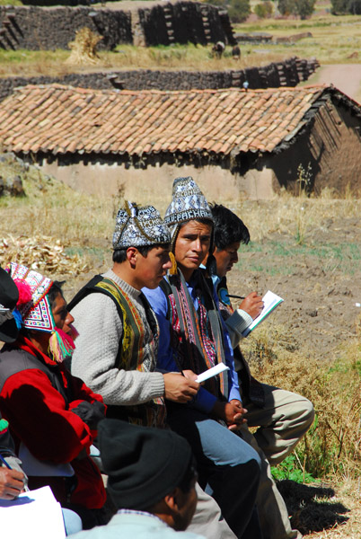 Diligently taking notes |
 Community meeting, San Pedro, at the ruins of Raqchi |
 Community leaders, San Pedro (Raqchi) |
 Church between San Pedro and Sicuani |
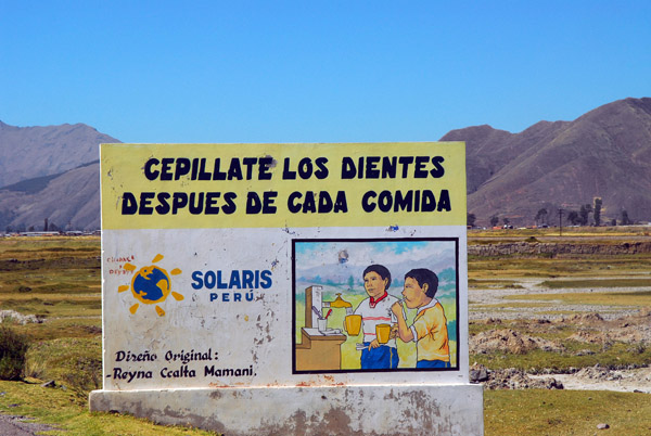 Cepillate Los Dientes Despues de Cada Comida - brush your teeth after eating |
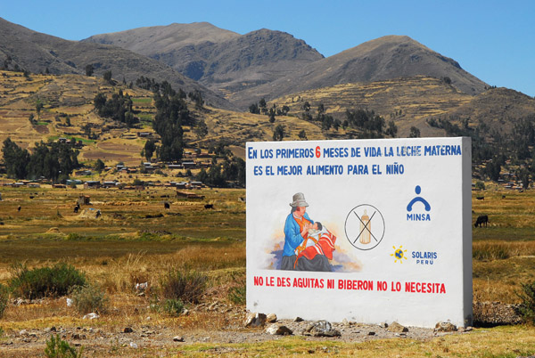 Breast feed for the first six months... |
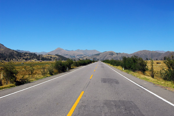 Straight section of road just north of Sicuani |
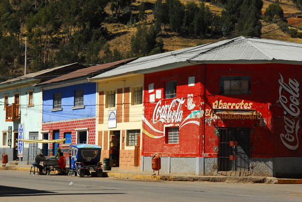
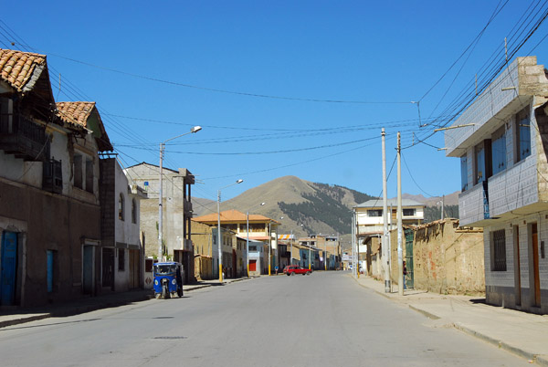 Entering Sicuani |
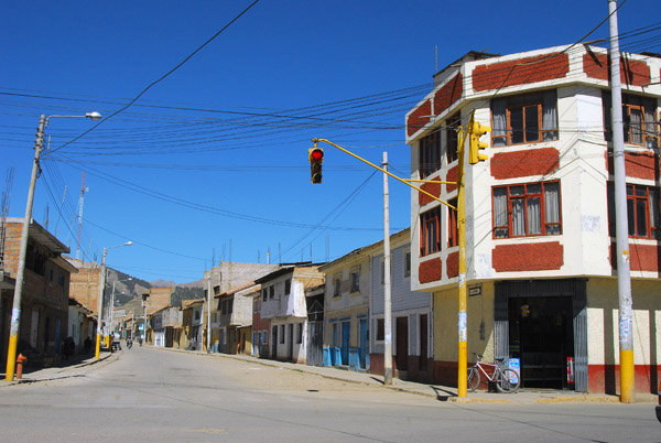 Intersection with traffic light, Sicuani |
 Sicuani |
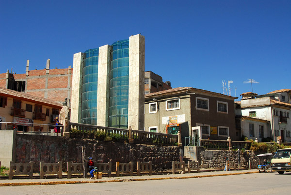 Stone and glass monument in Sicuani |
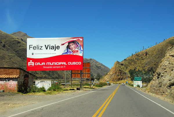 Feliz Viaje! Leaving Sicuani in the direction of Juliaca |
 Approaching Marangani |
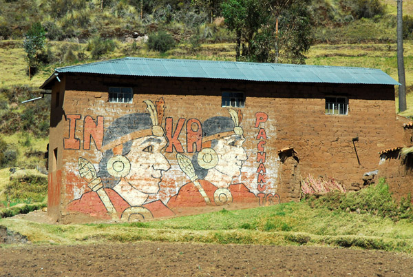 Inka Pachakut - indegenous political movement in the highlands |
 Route 3S - km 1126 |
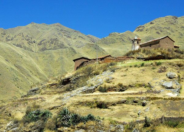 An old church on a hilltop along Route 3S |
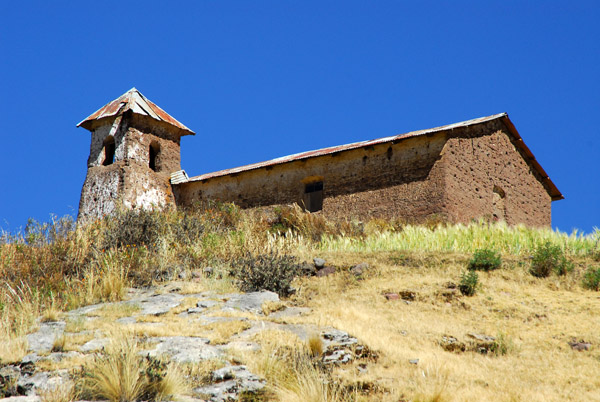 An old church on a hilltop along Route 3S |
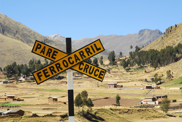 Pare Cruce Ferrocarril - Stop Railroad Crossing |
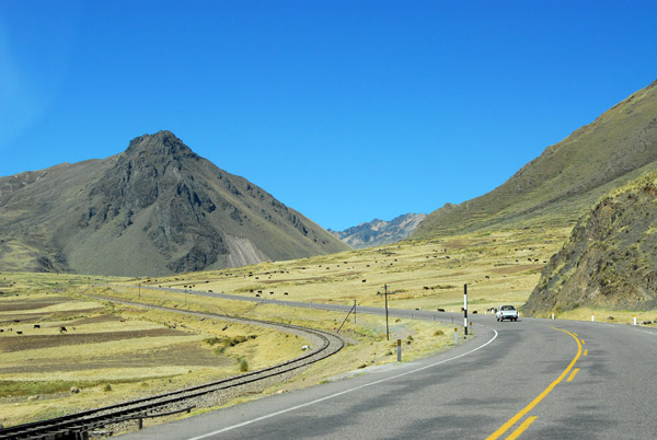
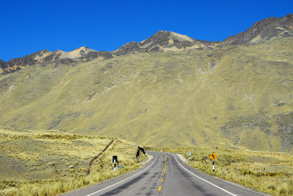
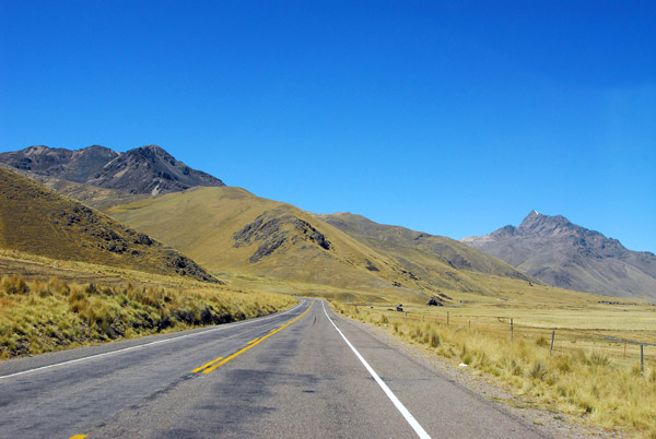
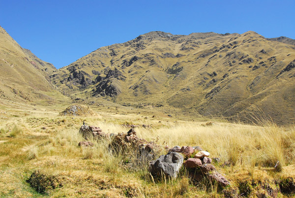 Landscape between Sicuani and Abra La Raya |
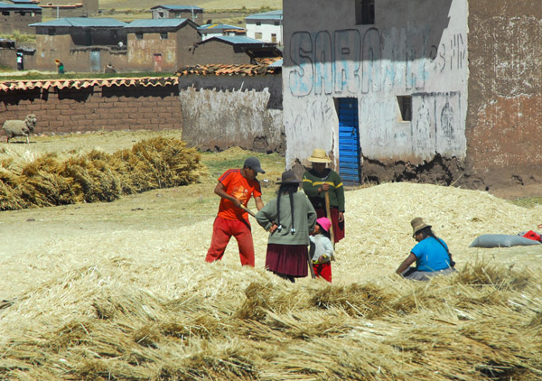 Famers working with the harvest, Occobamba |
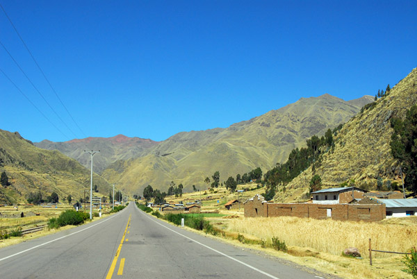
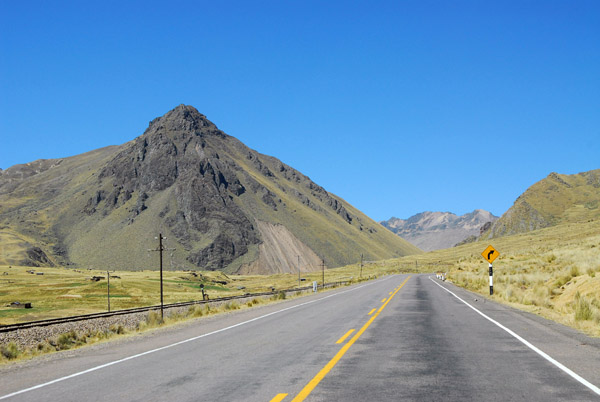
 Route 3S, Canchis |
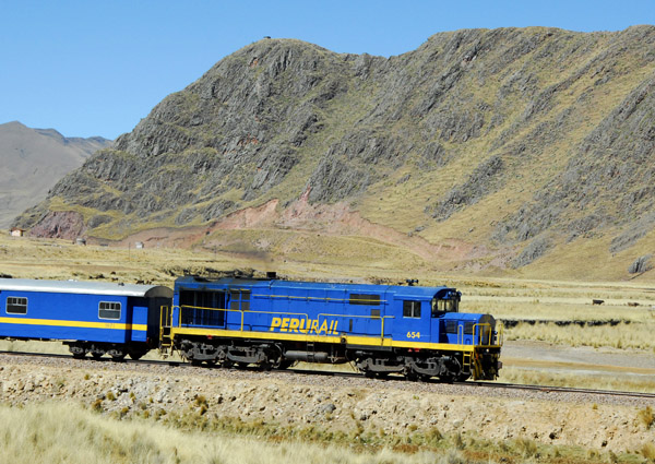
 Peru Rail paralleling the main road to Lake Titicaca |
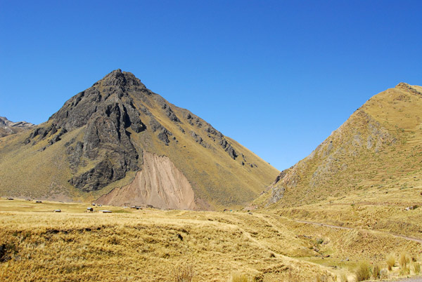
 Almost out of Cusco Region |
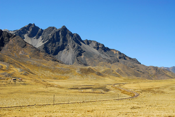
 Approaching Abra La Raya from the north |
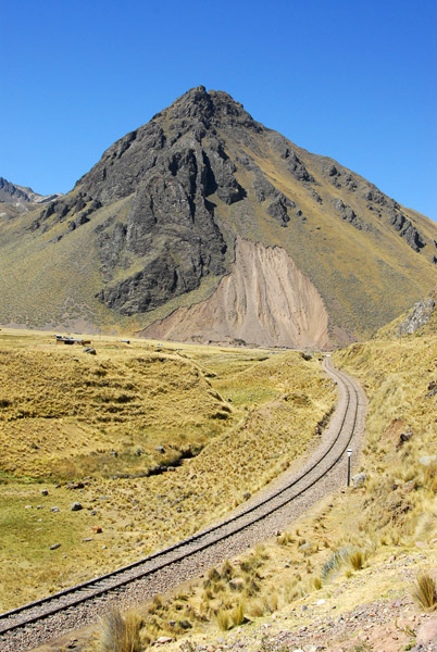 Peru Rail climbing to Abra La Raya |
 Peru Rail climbing to Abra La Raya |
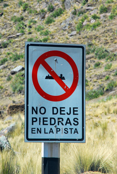 No Deje Piedras En La Pista - Don't put stones on the road |
 Arriving at Aguas Calientes - didn't stop... |
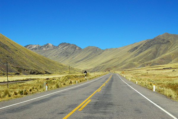
 Road through La Raya Gorge |
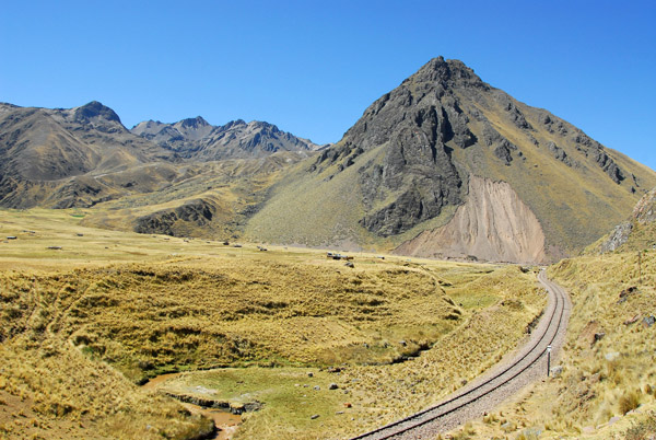
 Railroad passing through Abra La Raya |
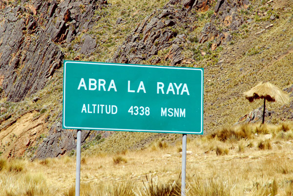 Abra La Raya - 4338m pass between the Cusco and Puno regions |
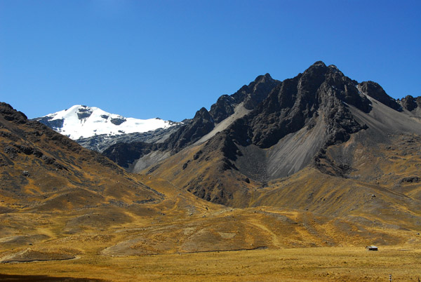
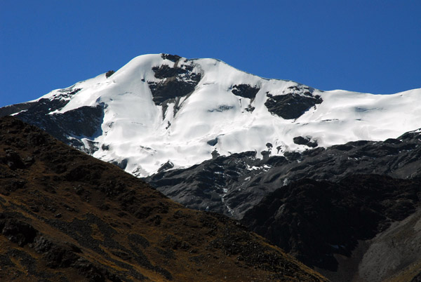 Snowcapped peak above La Raya |
 Abra La Raya, Peru |
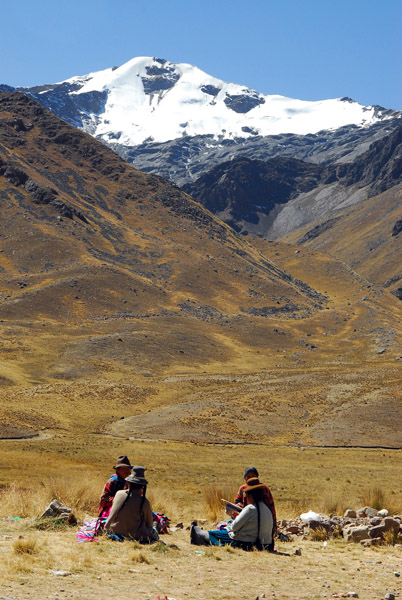 Picnic, Abra La Raya |
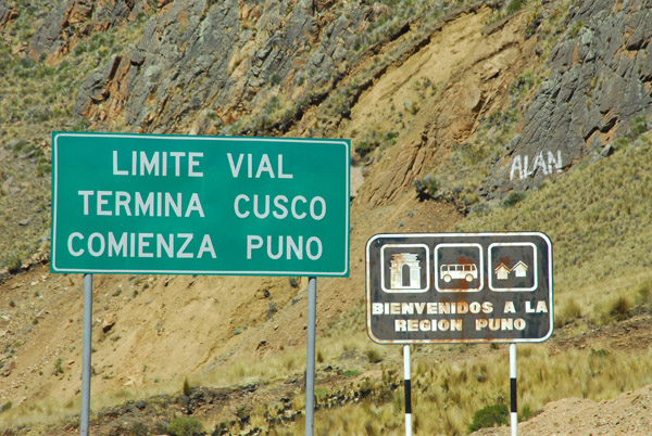 Bienvenidos a la Region Puno |
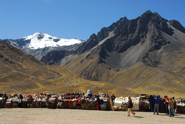 Roadside market at the regional border, Abra La Raya |
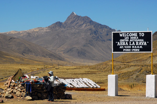 Centro Artesanal Abra La Raya 4338m |
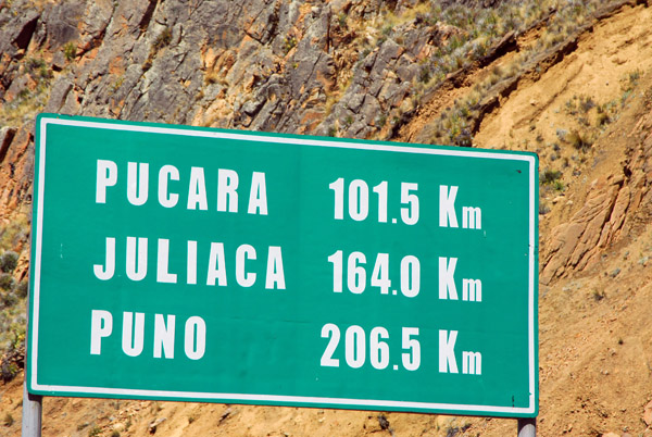 Still 206 km to Puno |
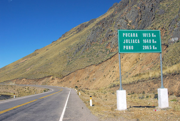 Continuing southbound along Route 3S to Lake Titicaca |
 Route 3S, Altiplano, Puno Region |
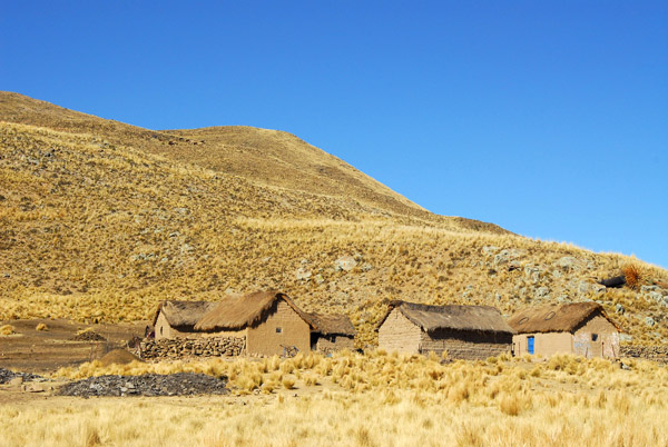
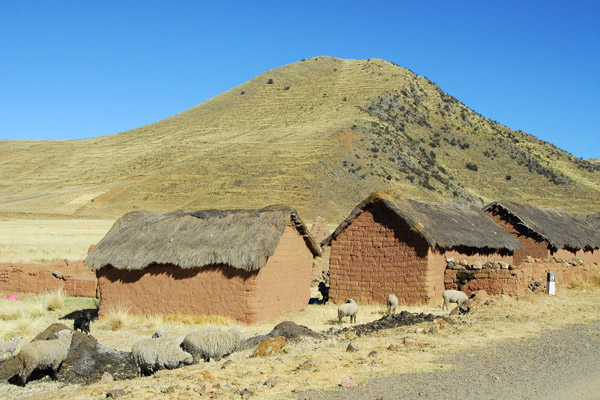
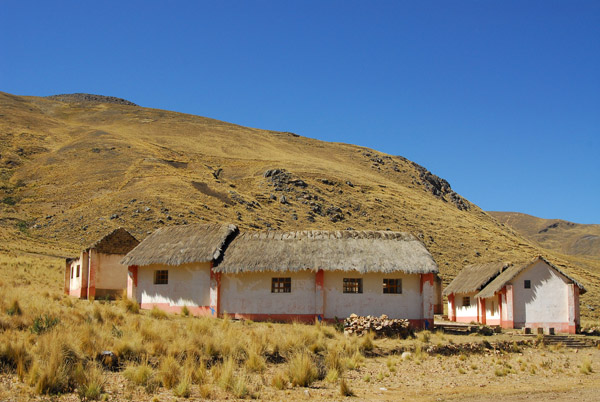 Thatched buildings along the roadside ... look abandoned |
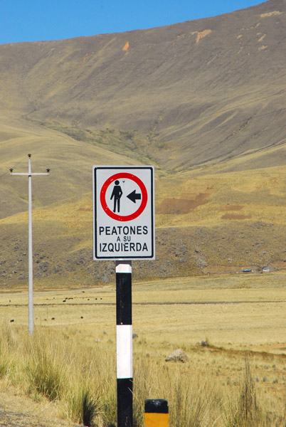 Peatones a su Izquierda - Pedestrians Keep Left |
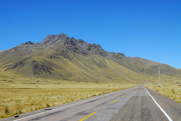 Route 3S, Altiplano, Puno Region |
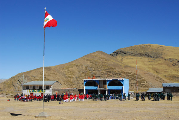 School on the Plaza of a village in the Municipality of Santa Rosa, Peru |
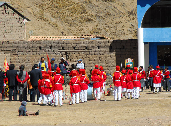 The school marching band |
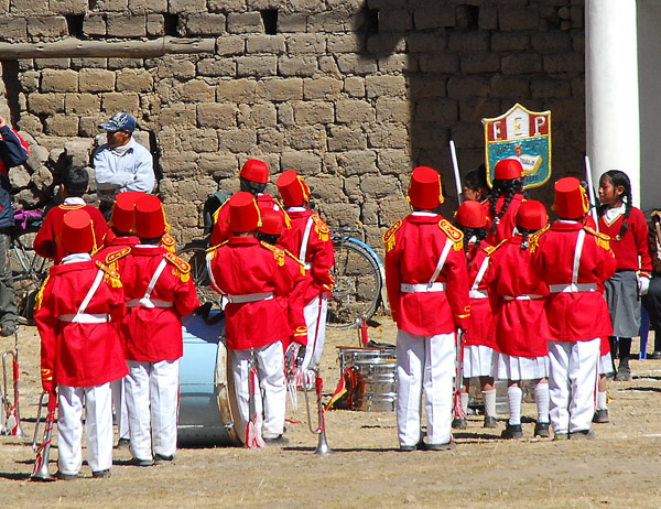 The school marching band |
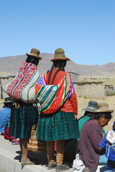 Spectators to the festivities |
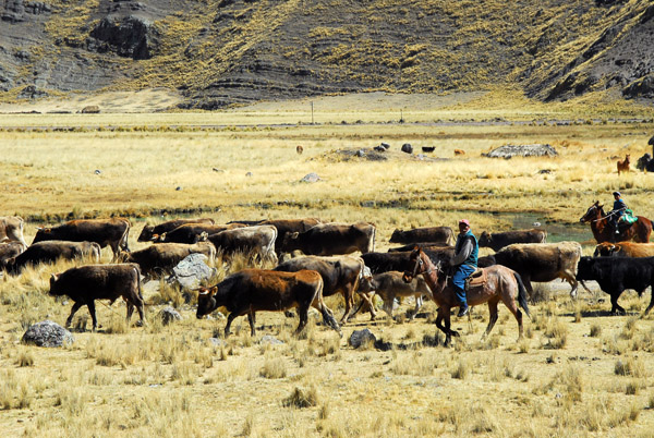 Peruvian cowboys, near Santa Rosa, Altiplano of Puno Region |
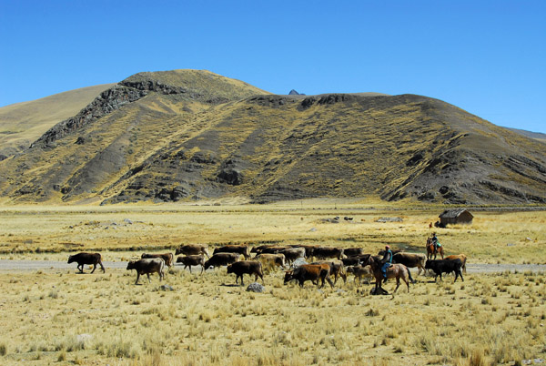 Peruvian cowboys, near Santa Rosa, Altiplano of Puno Region |
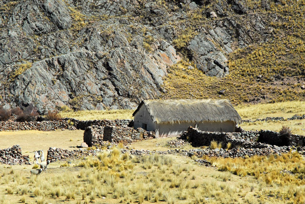
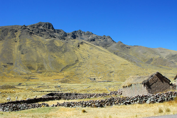 Thatched mudbrick hut and dry stone walls |
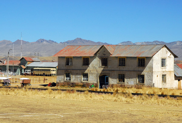
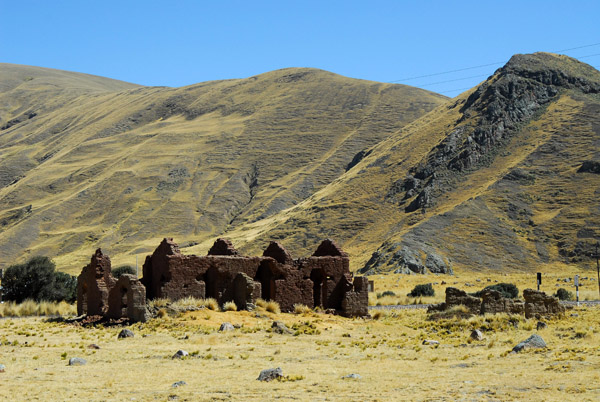 Ruins of an abandoned railroad station |
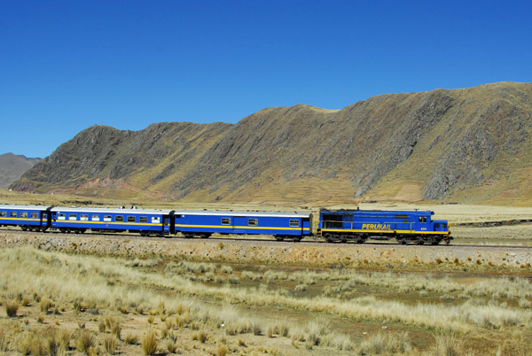
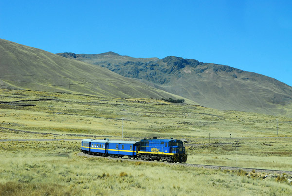 Peru Rail northbound across the Altiplano headed for Cusco |
 Peru Rail locomotive |
 These days, the Puno-Cusco route is primarily for tourists |
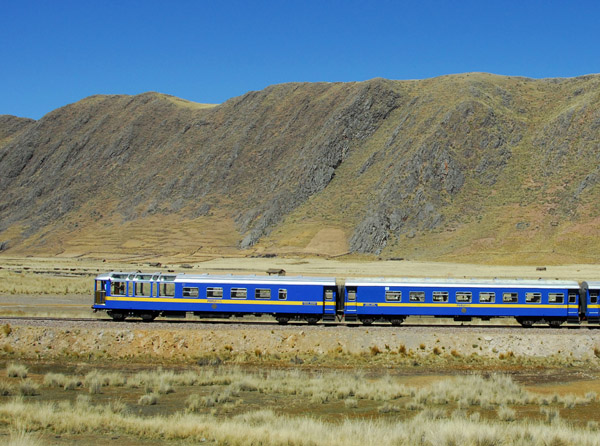 Tail end observation car, Peru Rail Puno-Cusco |
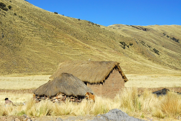
 Thatched farmhouse, Puno Region |
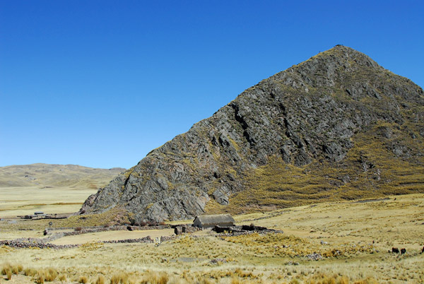 Rocky peak rising from the Altiplano north of Ayaviri, Peru |
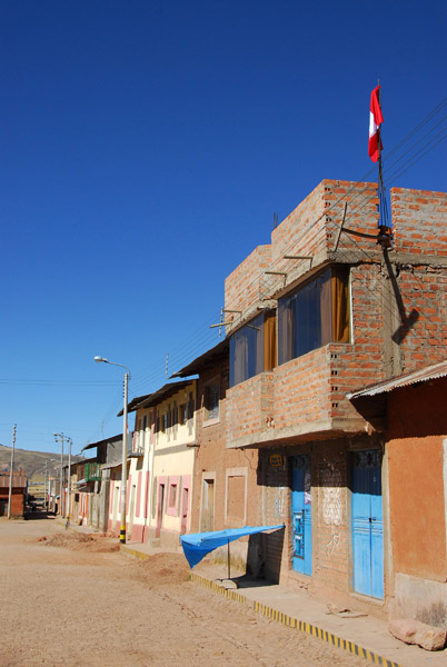
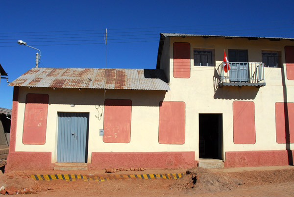
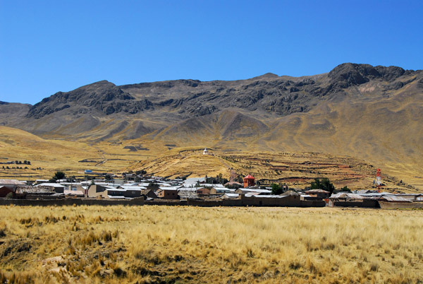 Santa Rosa (Puno) Peru |
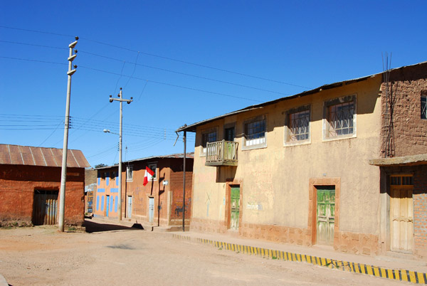
 Road south from Santa Rosa |
 Crossing the Altiplano of the Puno Region, near Santa Rosa, Peru |
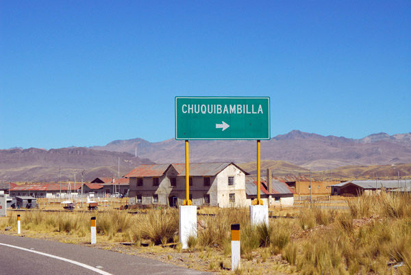 Chuquibambilla (Puno Region) |
 Chuquibambilla (Puno Region) |
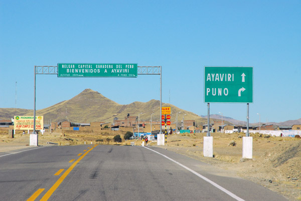 Bienvenidos a Ayaviri, Peru |
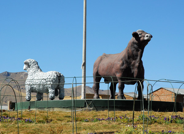 Cattle and sheep country, Ayaviri |
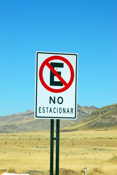 No Estacionar - No Parking |
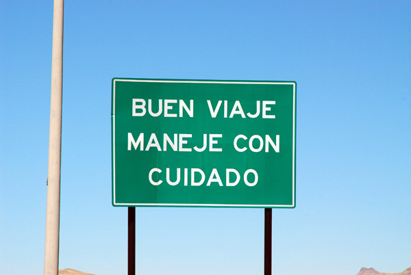 Buen Viaje Maneje Con Cuidado - Good trip, drive with care |
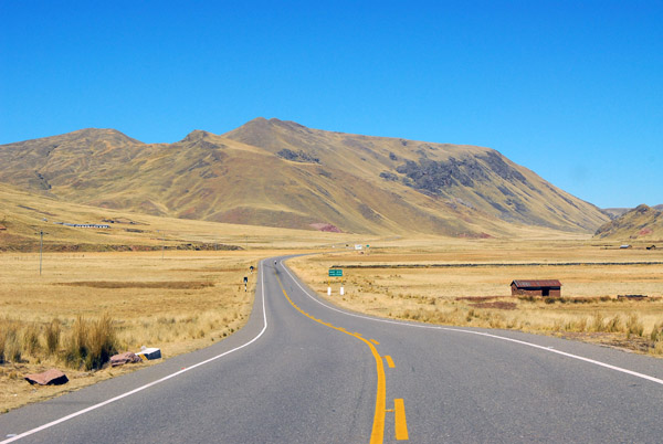
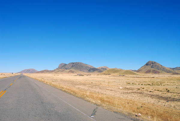 Altiplano south of Ayaviri |
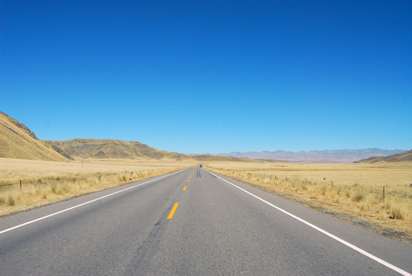
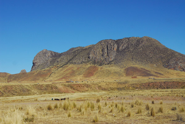 Landscape between Ayaviri and Pucara |
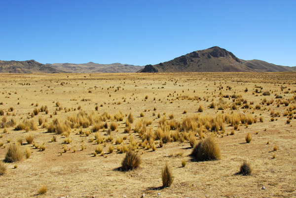 Andean High Plain - Altiplano, Peru |
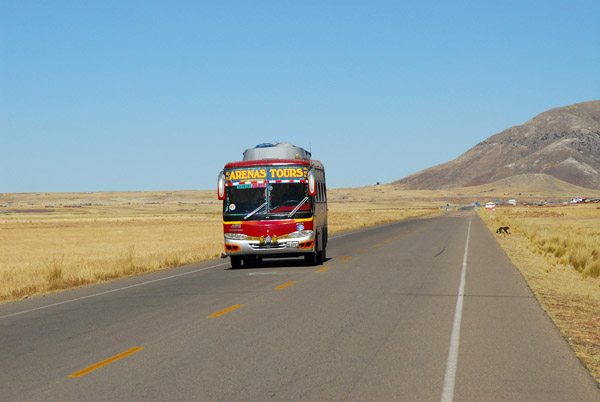 Northbound bus |
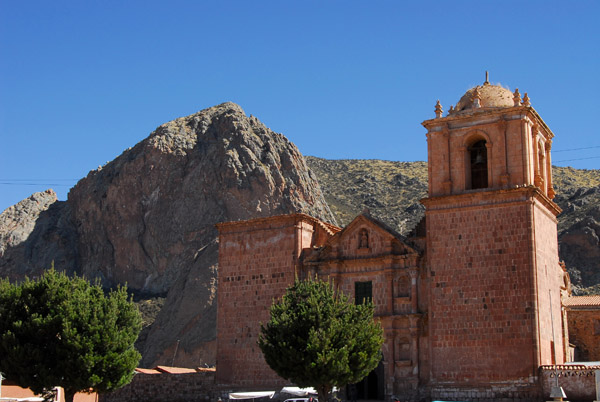
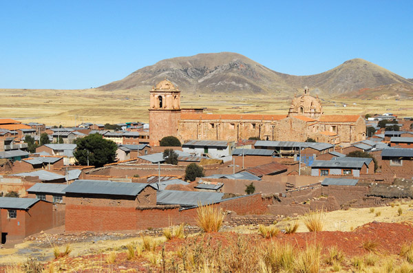
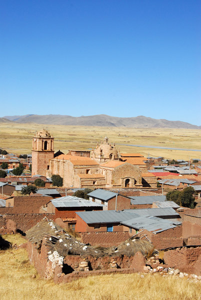
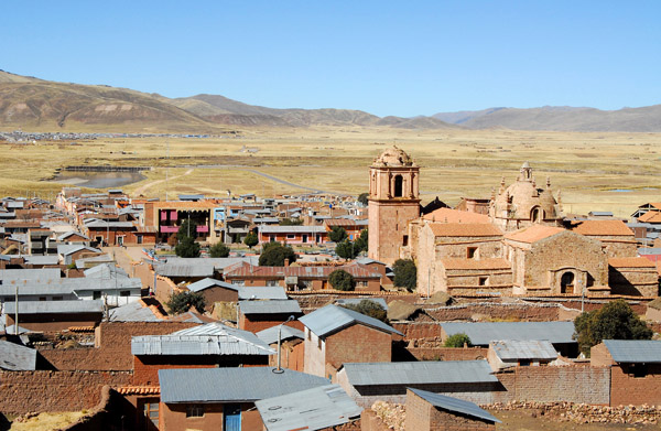
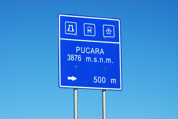 Pucara (Puno region) Peru 3876m, 61km north of Juliaca |
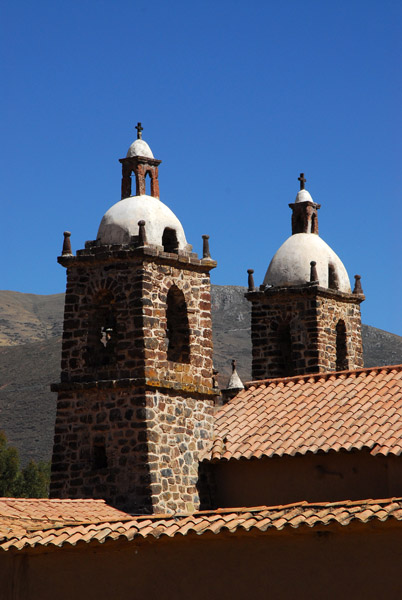
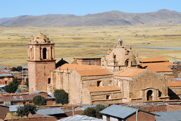
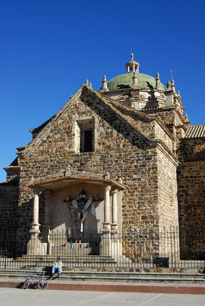
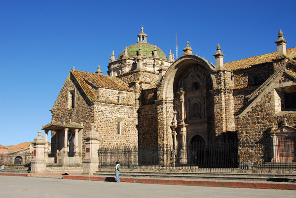
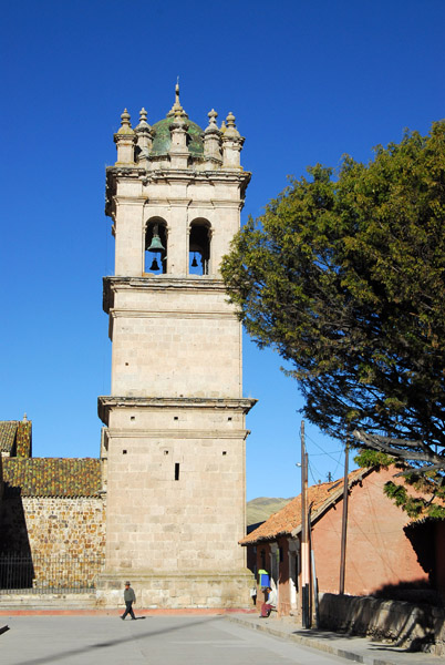
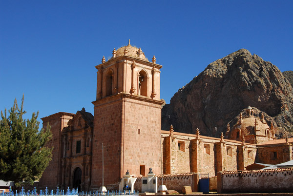 Iglesia de Santiago de Pupuja (1767) Pucara (Puno region) |
 Iglesia de Santiago de Pupuja, Pucara |
 Iglesia de Santiago de Pupuja, Pucara |
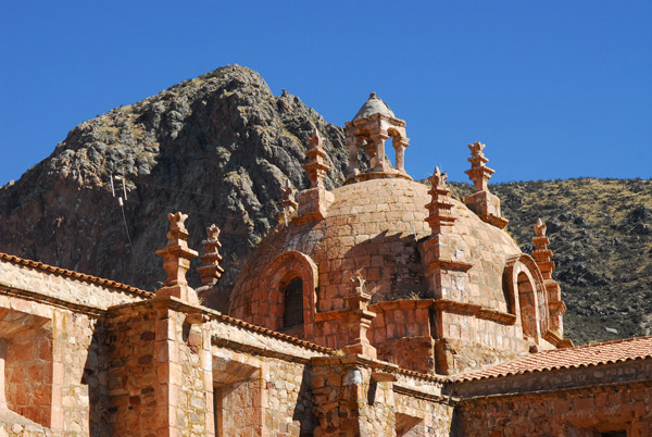 Dome, Iglesia de Santiago de Pupuja, Pucara |
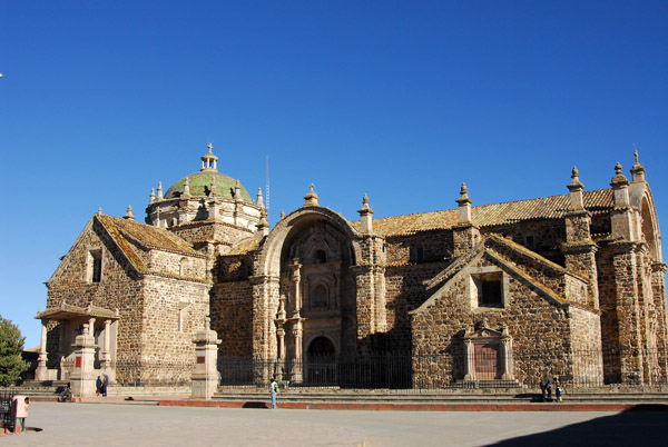
 Baroque-style colonial church in Pucara (Puno region) |
 Interior, Iglesia de Santiago de Pupuja, Pucara |
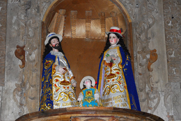
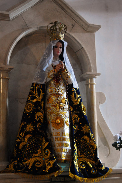
 Typical Peruvian religious statue, Pucara church |
 Baroque altar, Iglesia de Santiago de Pupuja, Pucara |
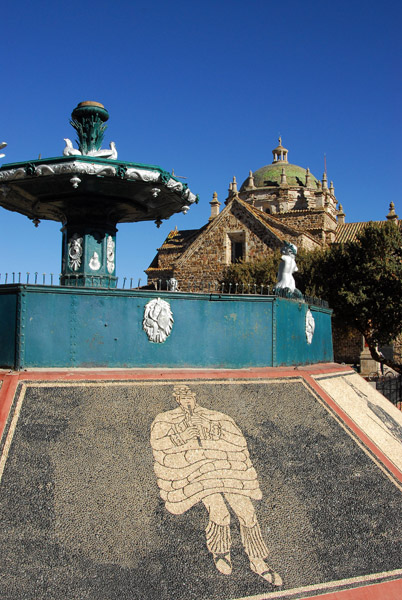
 Fountain on the Plaza, Pucara |
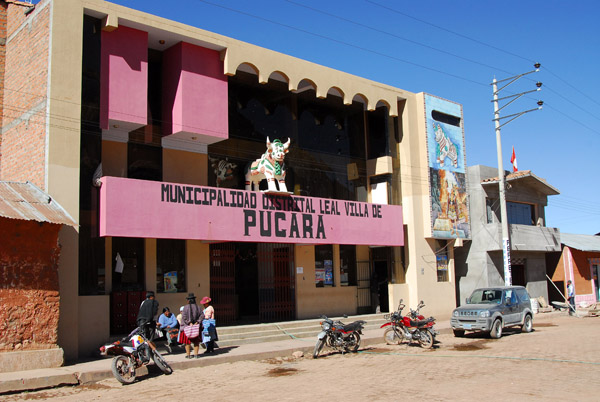 Municipalidad Distrital Leal Villa de Pucara, Peru |
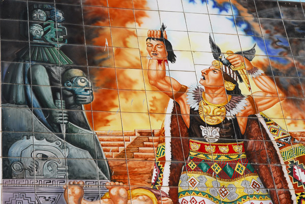 Inca priest holding a severed head, Pucara municipal building |
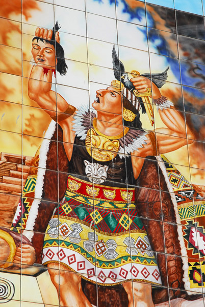 Tilework, Pucara Municipalidad |
 Plaza de Armas, Pucara (Puno) |
 Pucara |
 Pucara, Plaza de Armas |
 Southeast corner of the Plaza de Armas, Pucara |
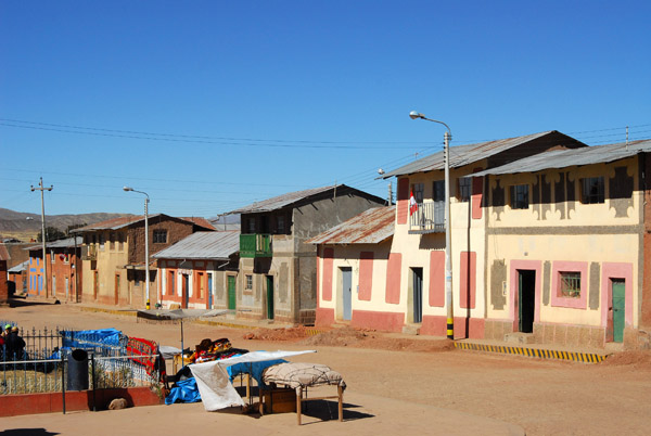
 Painted houses around the Plaza de Armas, Pucara |
 View of the town and church of Pucara from a dirt road behind the town |
 Pucara |
 Iglesia de Santa Isabel, Pucara (XVIII C.) |
 View of the town and church of Pucara from a hill near the ruins |
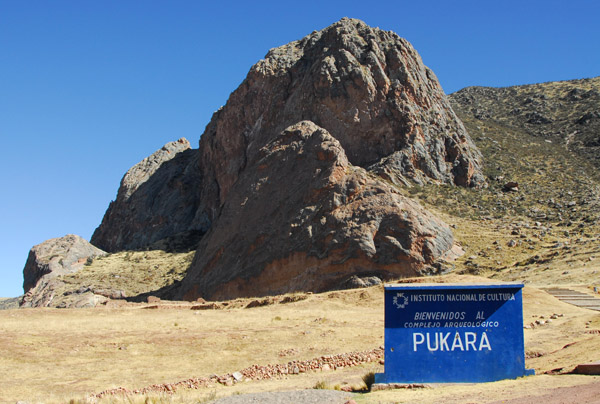 Inca ruins at Pukara |
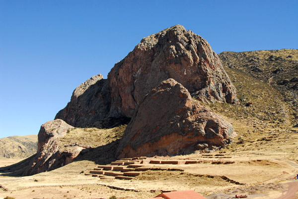 Inca ruins at Pukara (Puno) beneath a large rocky outcropping |
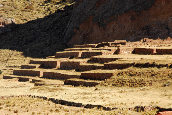 Inca ruins at Pukara (Puno) |
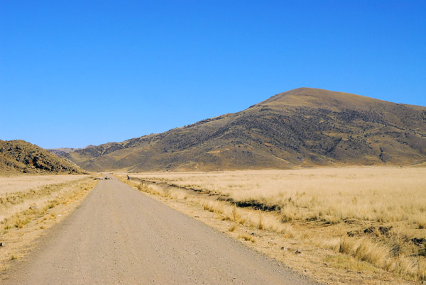 Doing well on time, I left the main road for a dirt road to Lampa |
 Thatched houses on the road to Lampa |
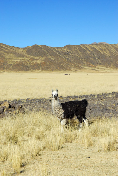 Llama |
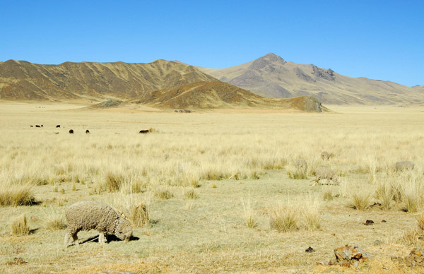 Sheep grazing on the Altiplano |
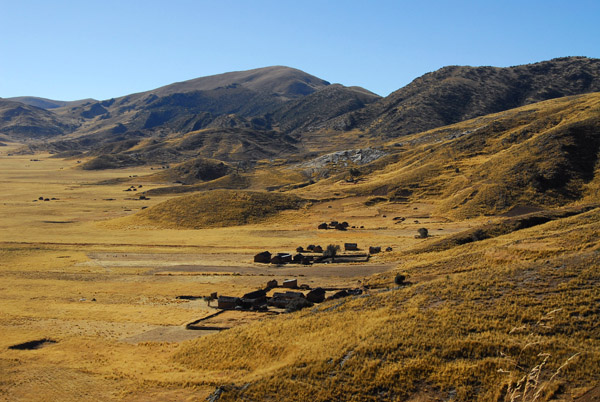
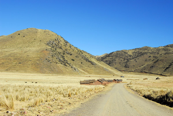 Approaching a small settlement on the road to Lampa |
 Thatched adobe huts |
 Thatched adobe huts |
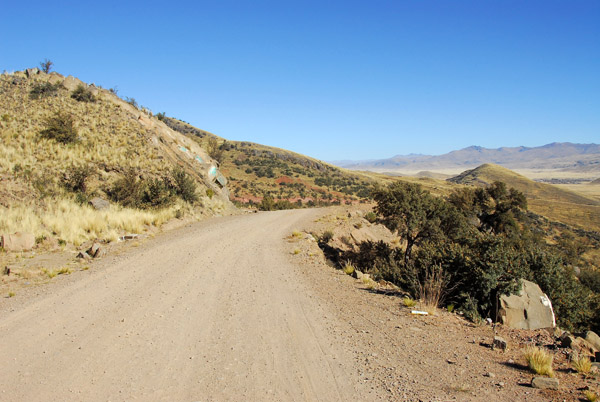 Dirt road climbing some hills enroute to Lampa |
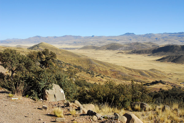 View of Lampa in the distance |
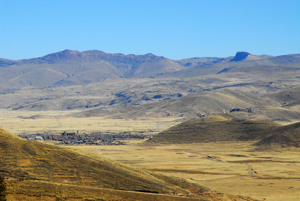 The town of Lampa on the plain below |
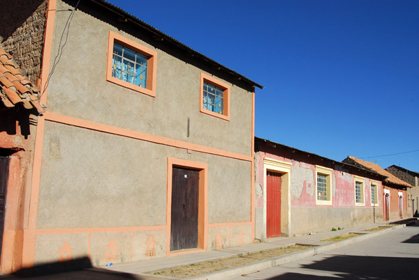
 Outskirts of Lampa |
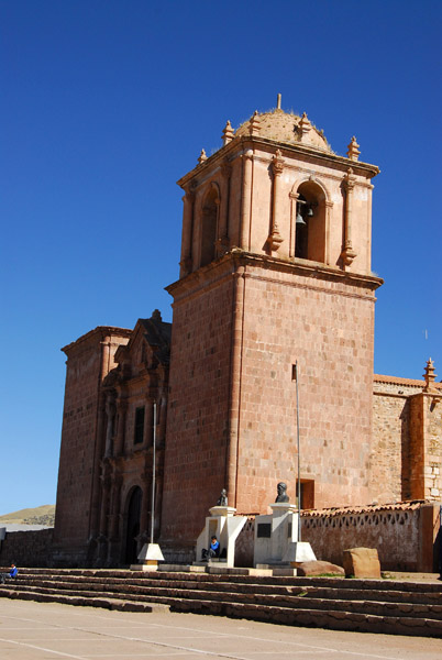
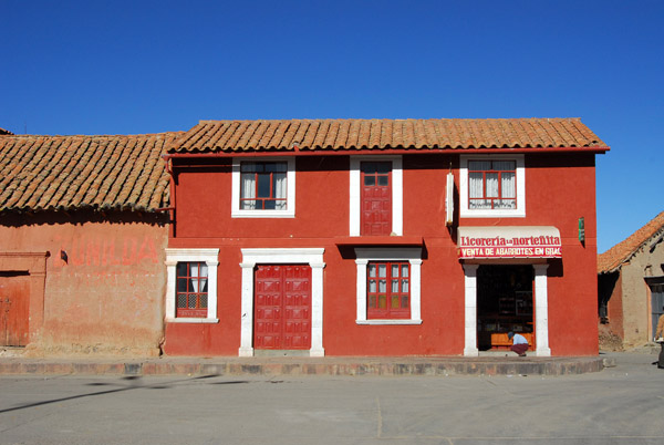
 Lampa (Puno) Peru, 36km NW of Juliaca |
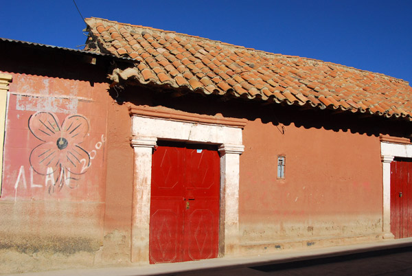 The Pink City, Lampa |
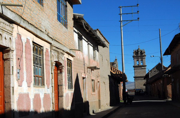 Headed for the Plaza, Lampa |
 Lampa - La Ciudad Rosada |
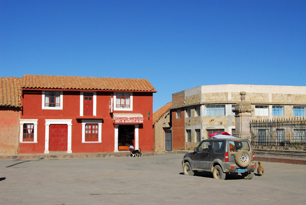 Plaza de Armas, Lampa |
 Plaza de Armas, Lampa |
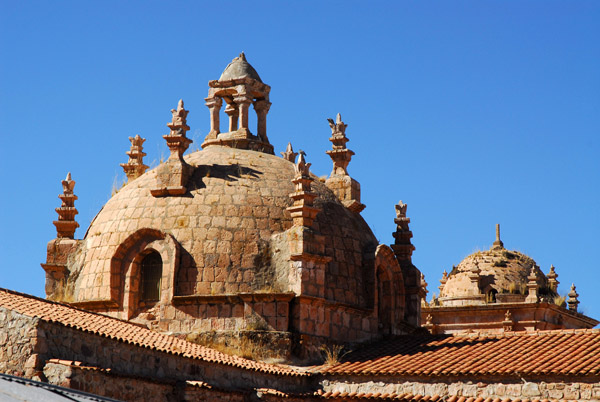
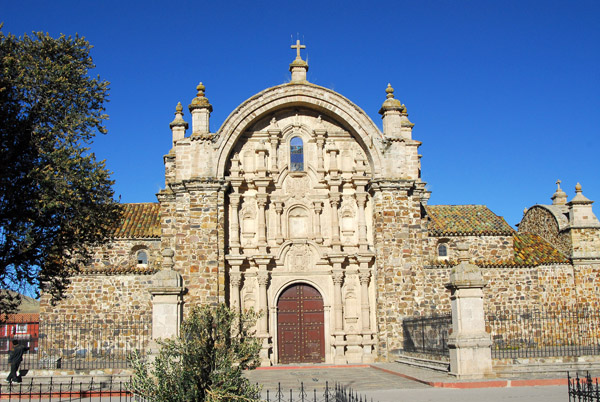
 Templo de Santiago Apostol (17th C.) Lampa |
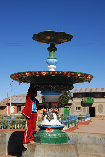
 Fountain on the plaza of Lampa |
 Templo de Santiago Apostol (17th C.) Lampa |
 Also called Iglesia de la Inmaculada, Lampa |
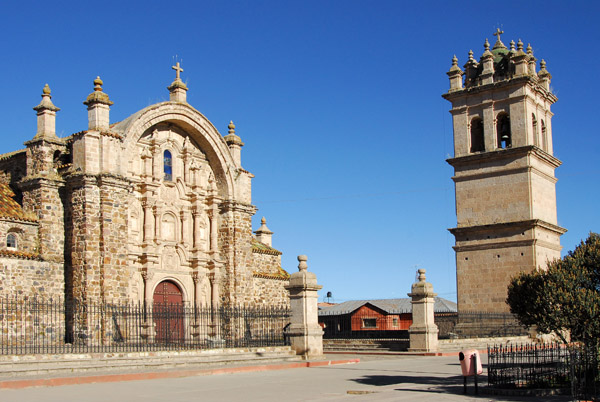 Colonial church and bell tower, Lampa |
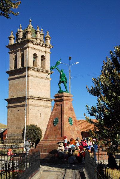 Bell tower and monument, Lampa |
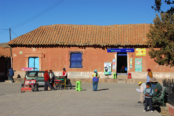
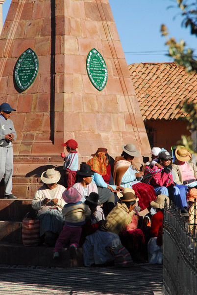 Locals hanging out on the Plaza, Lampa |
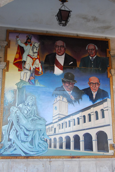
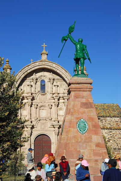 Monument to Coronel Jose Miguel Rios, killed in the Battle of Tarapaca, 1879 |
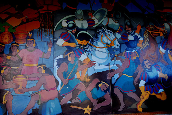
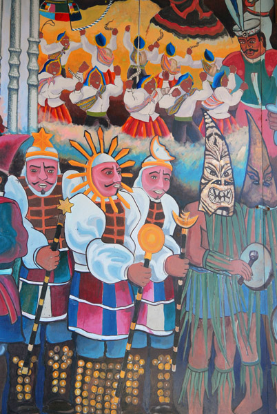 Murals on the Municipalidad, Lampa |
 Murals on the Municipalidad, Lampa |
 Murals on the Municipalidad, Lampa |
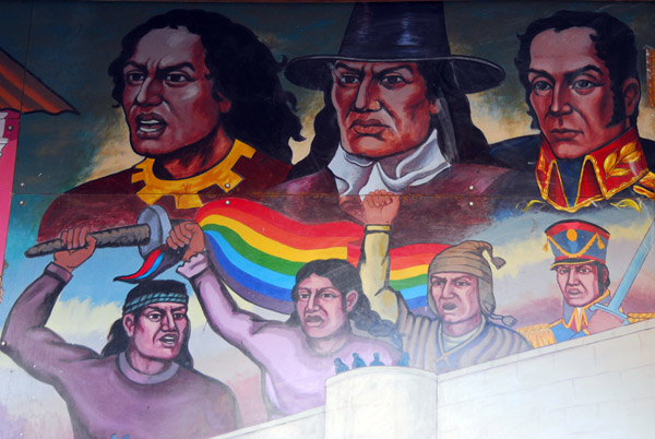
 Conquistadors mural, Municipalidad, Lampa |
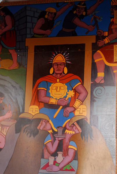 Inca, mural on the Municipalidad, Lampa |
 Bell tower of Lampa |
 Iglesia de la Inmaculada, Lampa |
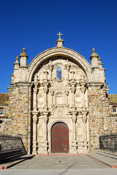 Iglesia de la Inmaculada, Lampa |
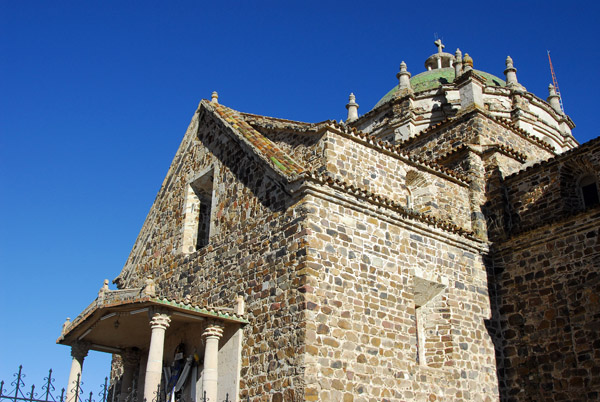 Templo de Santiago Apostol (17th C.) Lampa |
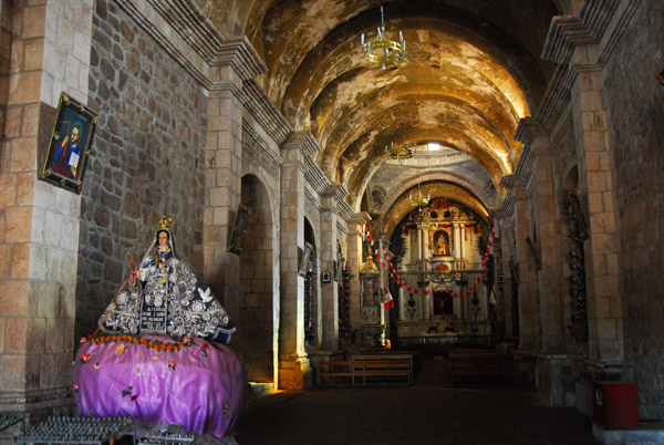
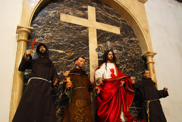 Interior of the colonial church of Lampa |
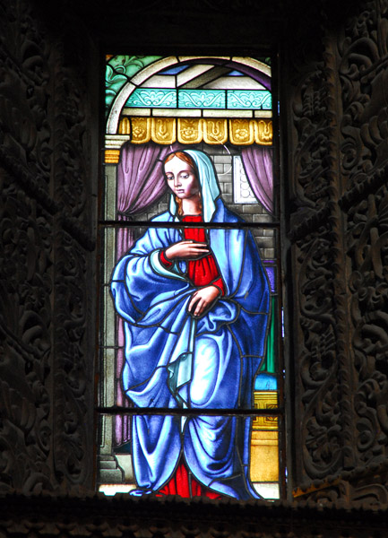 Stained glass window, Lampa (Puno) Peru |
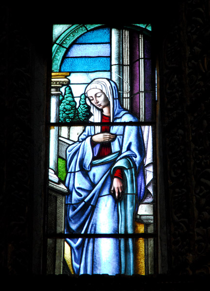 Stained glass window, Lampa (Puno) Peru |
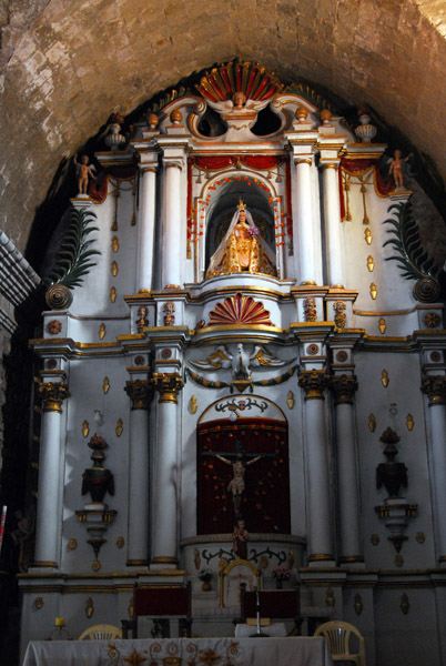
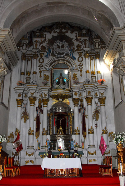 Main altar, Lampa |
 Mian altar, Lampa |
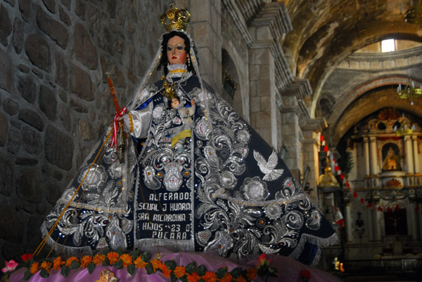
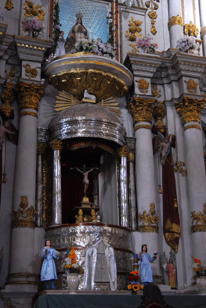
 Colorful Peruvian costumes, Iglesia de la Inmaculada, Lampa |
 Iglesia de la Inmaculada, Lampa |
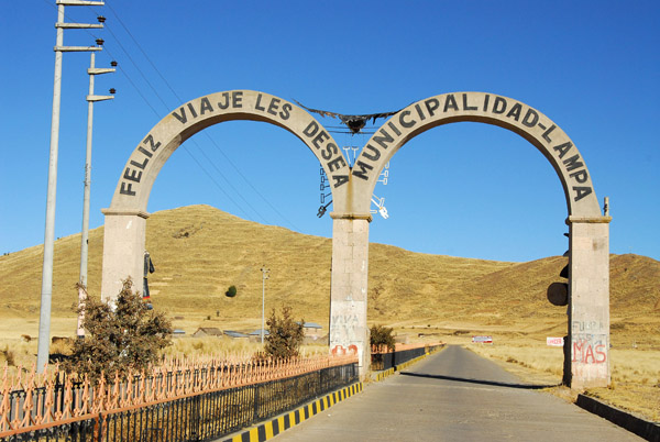 Arches marking the end of town, Lampa |
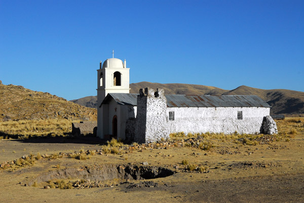 Old church between Lampa and Juliaca |
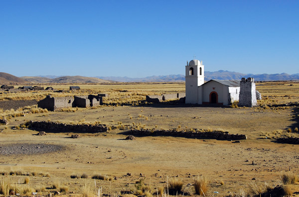 Old church between Lampa and Juliaca |
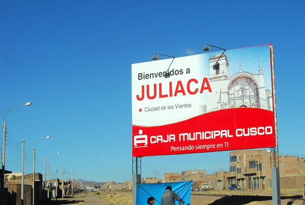 Welcome to Juliaca, pop 198,000 |
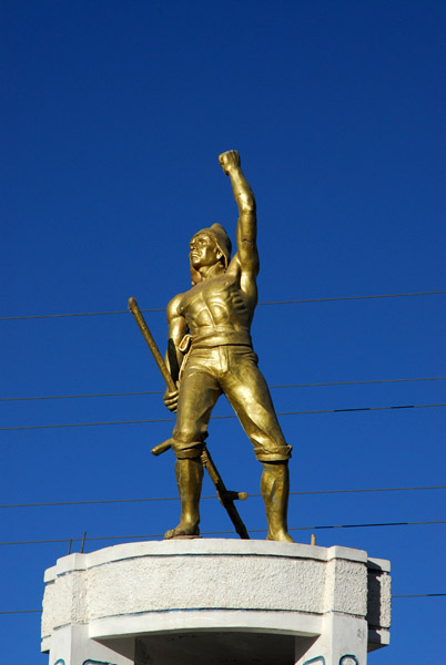 Monument of a muscular figure, "El Cholo" Juliaca |
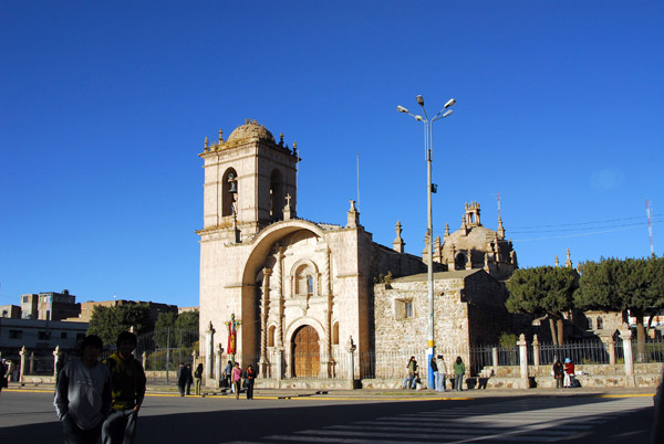 Iglesia de Santa Catalina, Plaza de Armas, Juliaca |
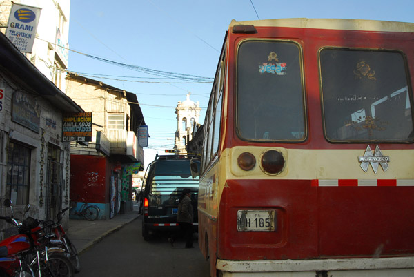 Driving through Juliaca was pretty tough... |
| comment | share |