


|
|
|
|
|
|
| Brian McMorrow | profile | all galleries >> Subsaharan Africa >> Namibia >> Namibia Flying Safari 2010 | tree view | thumbnails | slideshow |
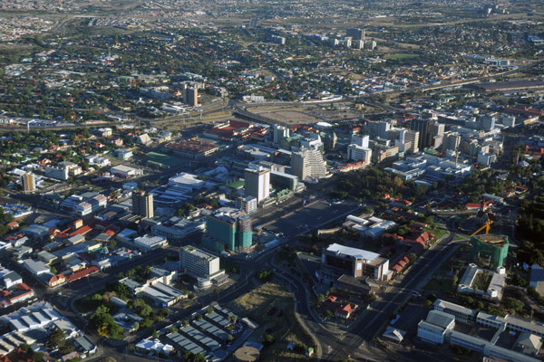 Windhoek, Namibia |
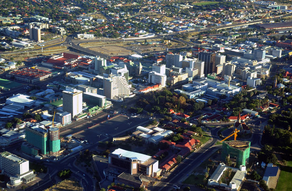 Windhoek, Namibia |
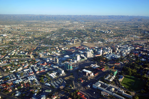 Windhoek, Namibia |
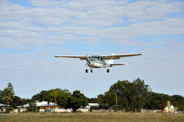
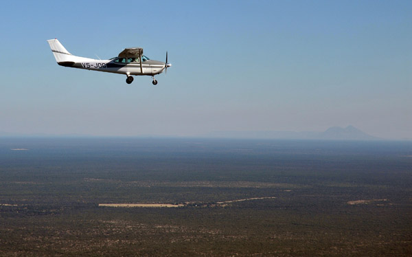 V5-JOG in flight between Windhoek and Eureka |
 Light aircraft are a great way to get around Namibia since distances are vast and the roads mostly unpaved |
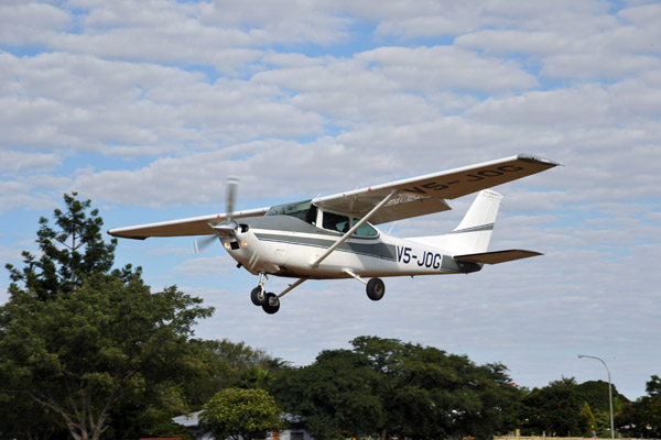
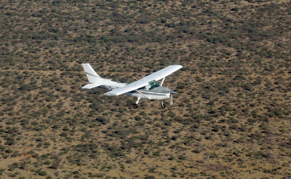 V5-JOG in flight between Windhoek and Eureka |
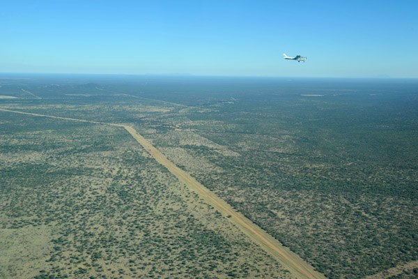
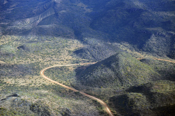
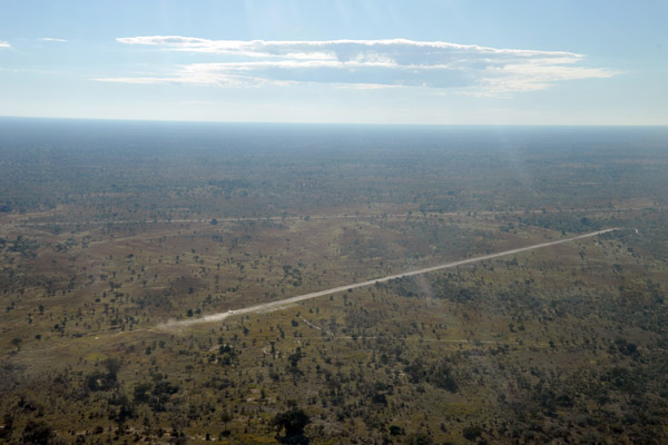
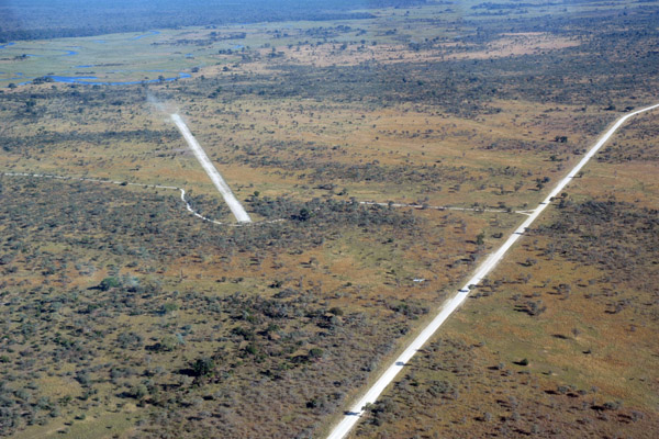
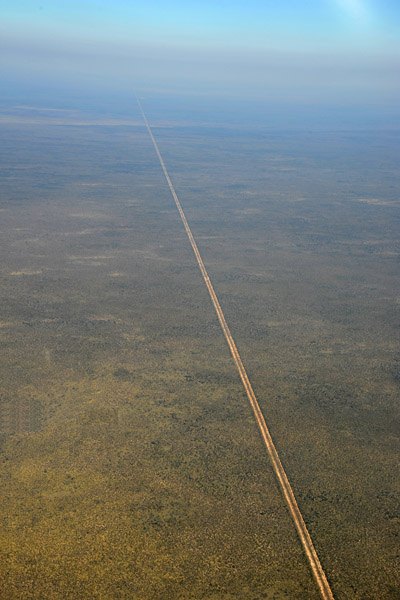
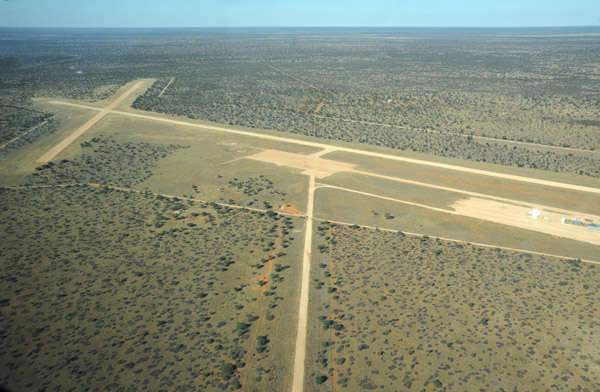
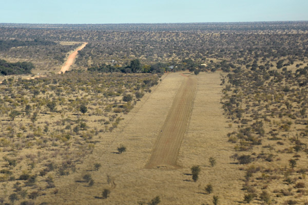
 Runways along the road C31 northeast of Windhoek |
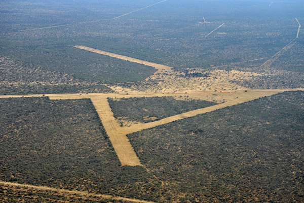
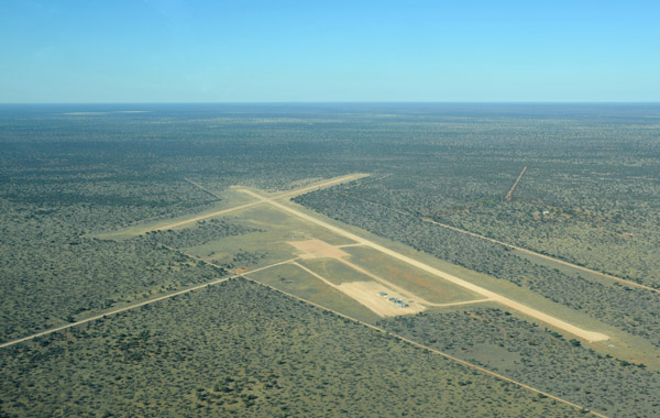
 Runway at a farm NE of Windhoek (S21 36.4/E17 42.4) |
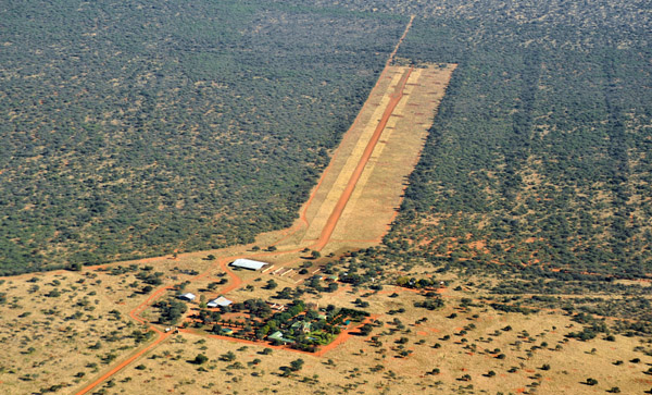
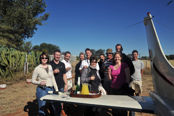 Champagne reception on arrival at Eureka Farm |
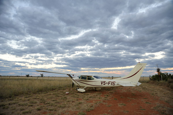 V5-FIS at Eureka Farm, Namibia (S21 11.9/E017 49.3) |
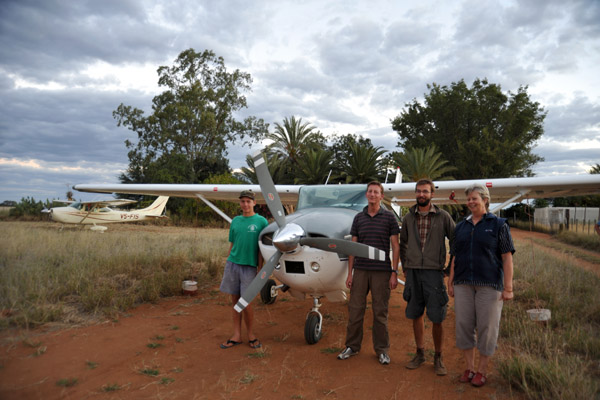 Peter, Ralph, a neighbor, Monika with V5-JOG at Eureka |
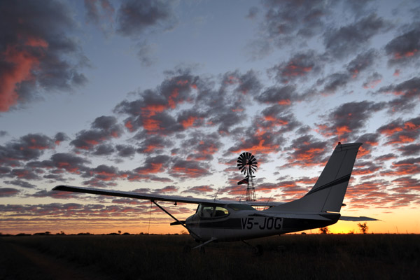 Sunrise on the the day of departure from Eureka |
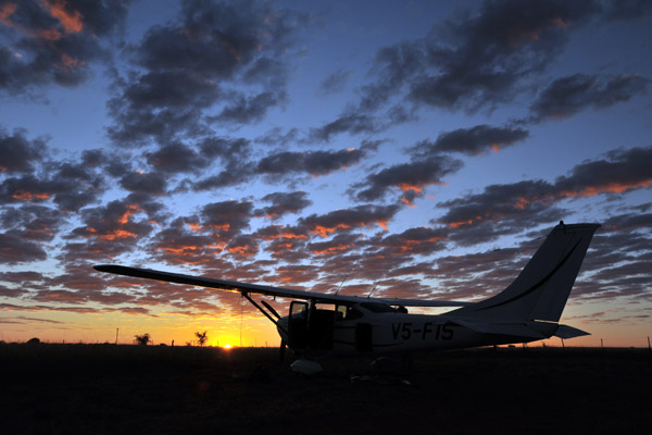 Silhouette of V5-FIS against the pink clouds at dawn, Eureka |
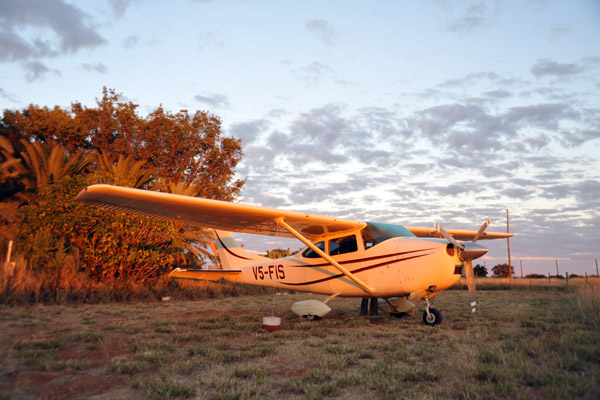 V5-FIS at dawn, Eureka Farm, Namibia |
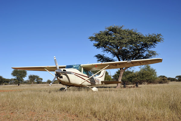
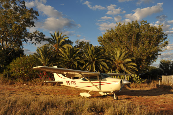 V5-FIS - Cessna 182 - at Eureka Farm, Namibia |
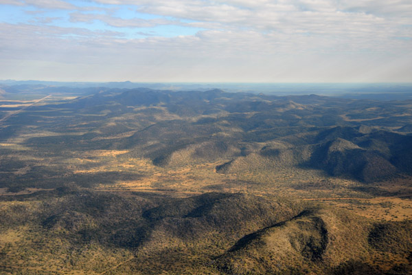 Gross Otavi Mountains south of Tsumeb, Namibia |
 Big curve in the dirt road through the Otavi Mountains between Kombat and Tsuemb, Namibia |
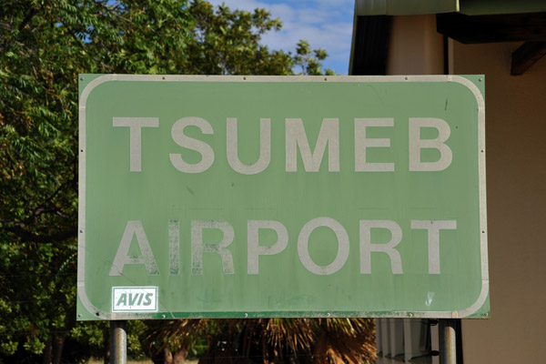
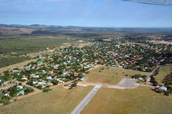 Tsuemb, Namibia - FYTM |
 Tsuemb, Namibia - FYTM |
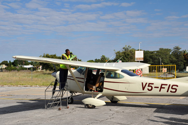
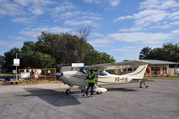 V5-FIS at Tsumeb - one of the only places for Avgas in northern Namibia |
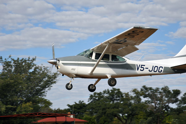
 V5-JOG landing at Tsumeb |
 They hit us up for a steep US$70 landing fee at Tsumeb |
 Ralph T�lle in V5-JOG landing at Tsumeb |
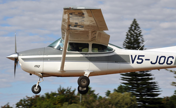 Cessna 182 (V5-JOG) landing at Tsumeb |
 Fueling at Tsumeb since there is no more Avgas available at Katima Mulilo (FYKM) |
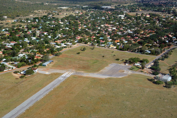
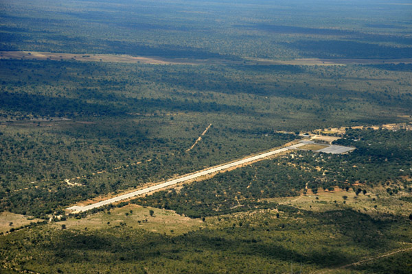
 Tsumeb Airport, Namibia |
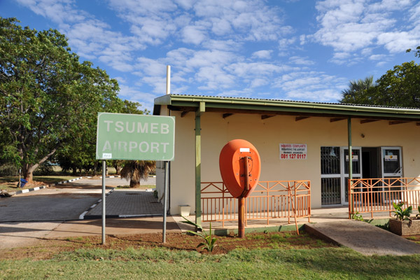 Tsumeb Airport, Namibia |
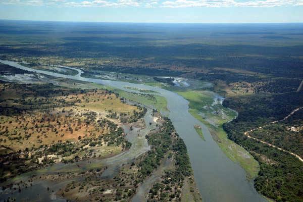
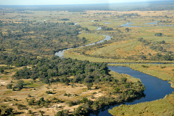
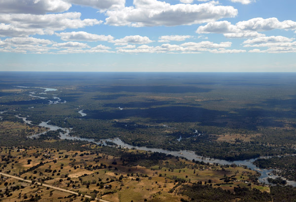 Okavango River crossing the Caprivi Strip of Namibia between Angola and Botswana |
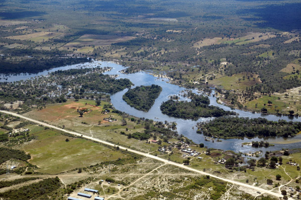
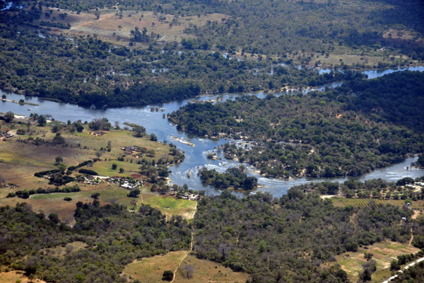 Okavango River near Divundu, Namibia (Caprivi) |
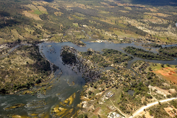
 Okavango River at Divundu, Namibia (Caprivi) |
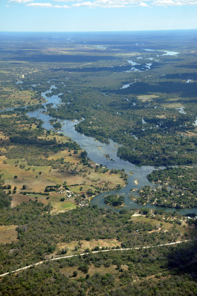
 Looks like a nice lodge on the Okavango River upstream from the bridge between Divundu and Bagani, Caprivi Strip |
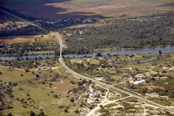
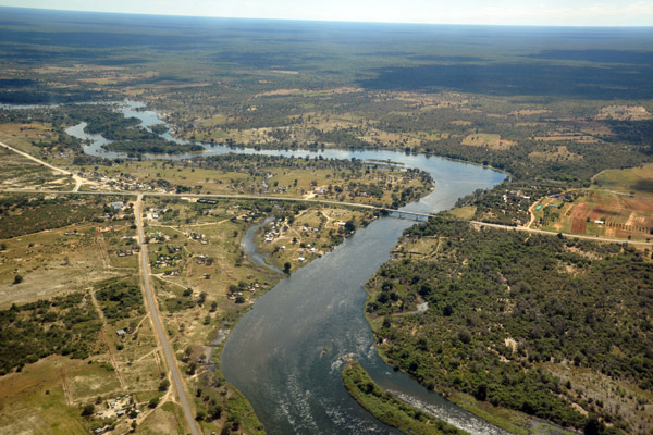
 The Okavango River Bridge between Divundu and Bagani, Namibia |
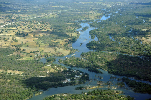
 Okavango River at Divundu, Namibia |
 The Okavango River Bridge between Divundu and Bagani, Namibia |
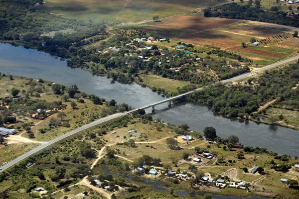 The Okavango River Bridge between Divundu and Bagani, Caprivi Strip |
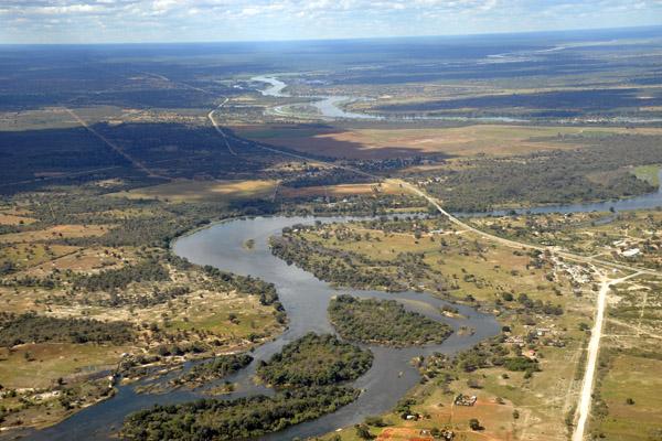
 Okavango River, Namibia |
 Okavango River downstream from the Divundu-Bagani Bridge |
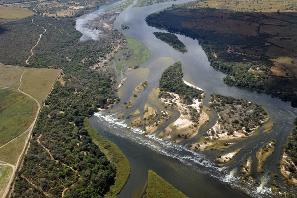 Popa Falls, Okavango River, Bagani - Caprivi Strip, Namibia |
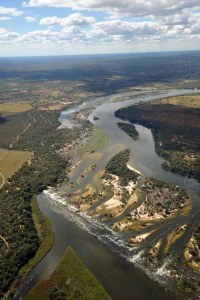 Popa Falls, Okavango River, Caprivi-Namibia |
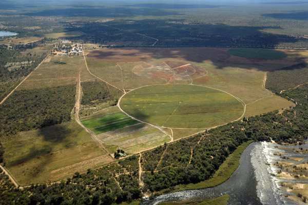 Irrigation at Popa Falls, Namibia |
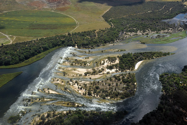 Popa Falls, Namibia |
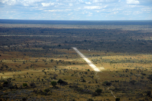
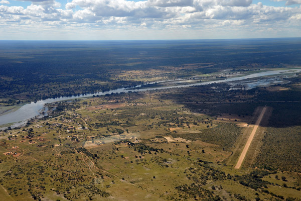 Airstrip at Bagani, Namibia (FYBG) |
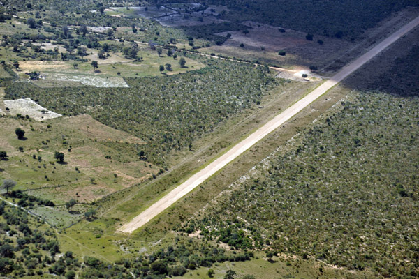 Airstrip at Bagani, Namibia (FYBG) |
 Okavango River, Caprivi Strip, Namibia |
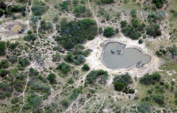 Elephants in a water hole, Caprivi Strip, Namibia |
 Omega Airport FYOE - former South African military base - 31st Battalion |
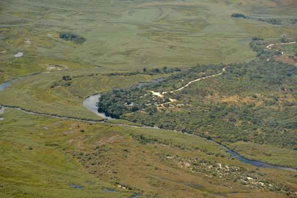 Kwando Camp, Namibia - the Kwando River later becomes the Chobe and forms the border here between Namibia and Botswana |
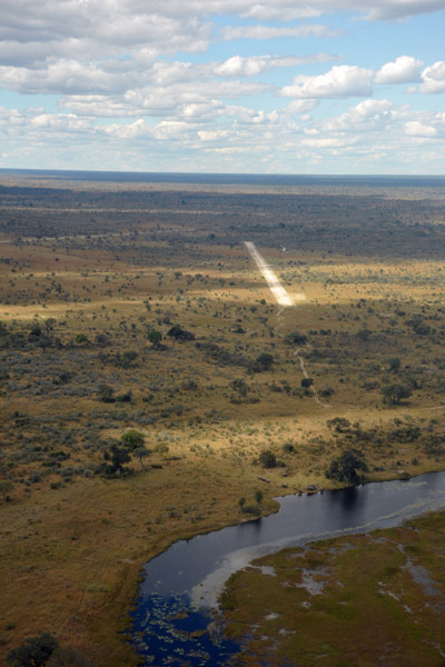
 Lianshulu Airstrip, Namibia (FYLS) |
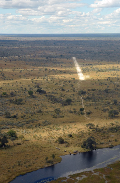
 Approach to Runway 11 at Lianshulu, Namibia FYLS |
 Notice the elephants by the Kwando River near Lianshulu Airstrip |
 Lianshulu Lodge (Wilderness Safaris), Mudumu National Park, Namibia |
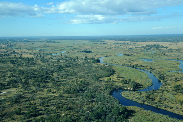
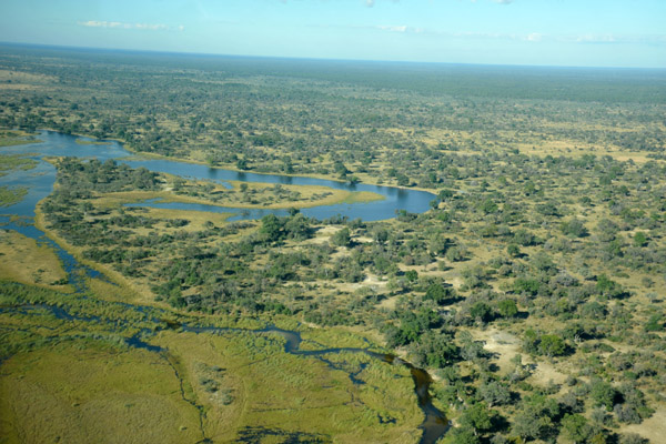 Kwando River - Namibia/Botswana |
 Mudumu National Park, Namibia - Kwando River |
 Lianshulu Airstrip, Namibia (FYLS) |
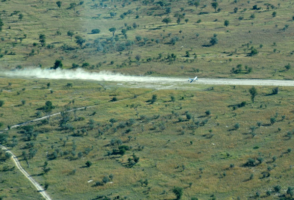 V5-JOG kicking up a plume of dust departing Lianshulu |
 V5-JOG airborne from Lianshulu |
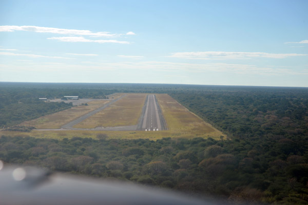 Landing runway 09 at Katima Mulilo (FYKM), Namibia |
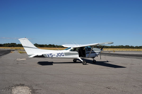 V5-JOG at Katima Mulilo - FYKM |
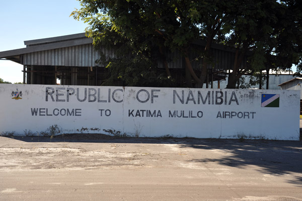 The Republic of Namibia welcomes you to Katima Mulilo Airport |
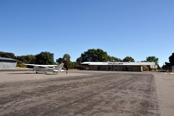 Katima Mulilo Airport |
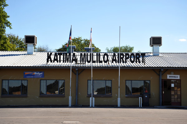 Katima Mulilo Airport for outbound Namibian Customs & Immigration |
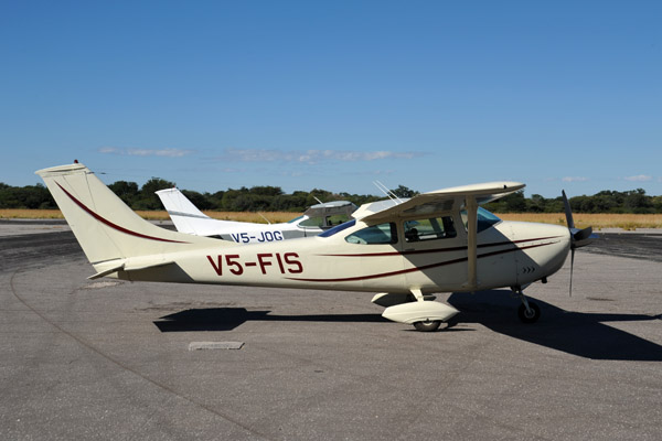 V5-FIS at Katima Mulilo Airport |
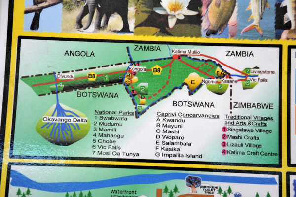 Map of the Caprivi Strip, Namibia |
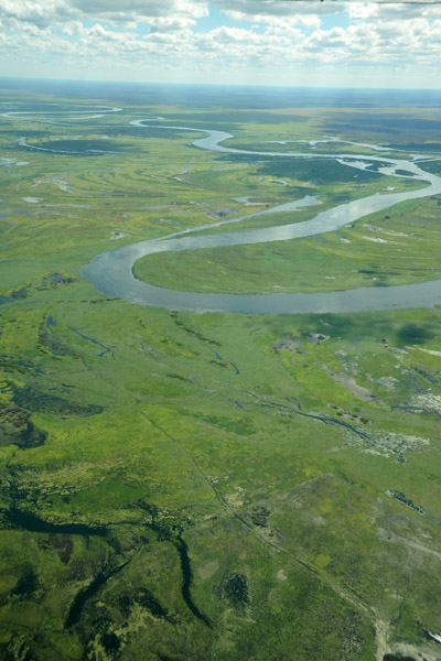
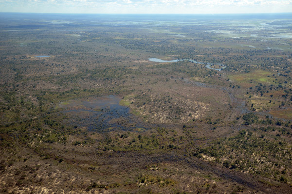 Eastern Caprivi, Namibia |
 Eastern Caprivi, Namibia |
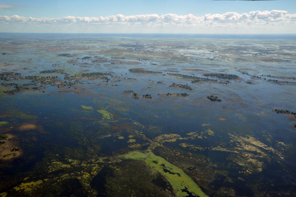
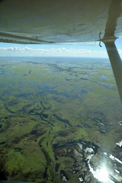
 Eastern Caprivi in flood, May 2010 |
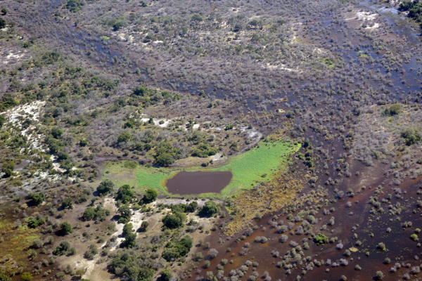
 Small village on a patch of dry land in the flooded Eastern Caprivi, Namibia |
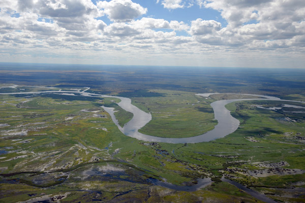
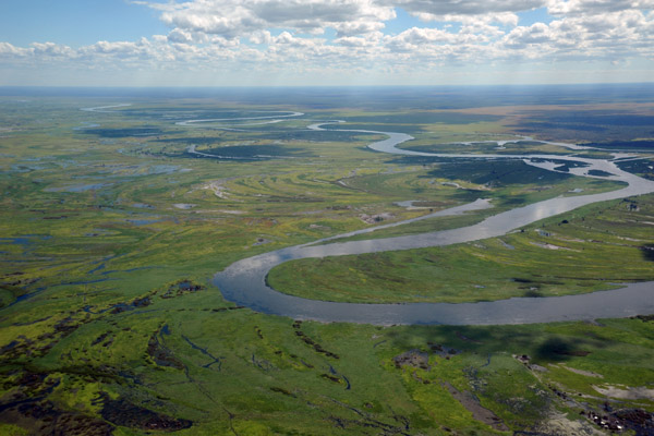
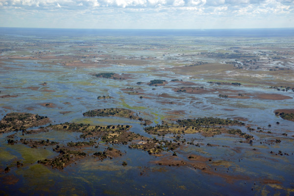 Eastern Caprivi - wetlands between the Zambezi and Chobe Rivers |
 The water level seemed much higher as we flew between Katima Mulilo and Livingstone, Zambia, than when we were here in 2005 |
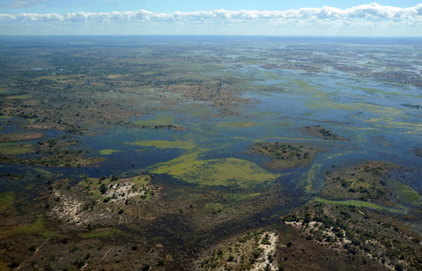
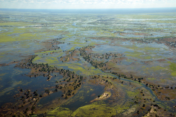
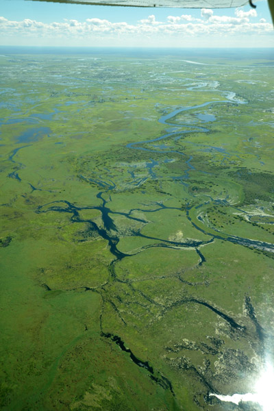
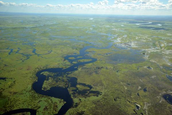
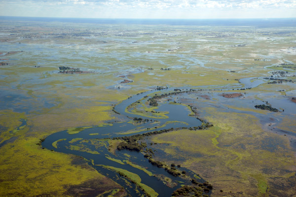 Wetlands of the Eastern Caprivi, Namibia |
 A river in the Eastern Caprivi that has burst its banks |
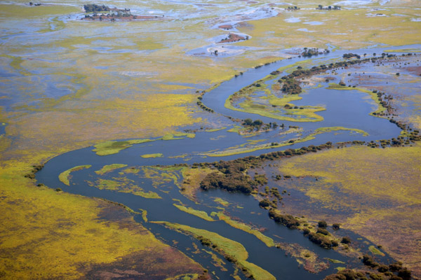
 Wetlands of the Eastern Caprivi with the main channel of the Zambezi at the top of the frame, Namibia |
 Sun shining off the flood waters, Eastern Caprivi, Namibia |
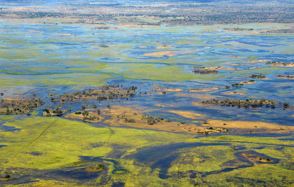
 Eastern Caprivi in flood, Namibia |
 Eastern Caprivi in flood, Namibia |
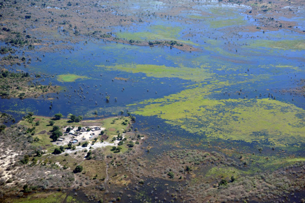
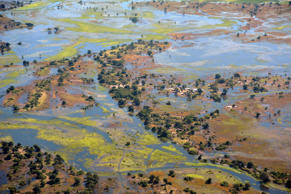 A Namibian village surrounded by flood waters, Eastern Caprivi (S17 41.4/E24 54.2) |
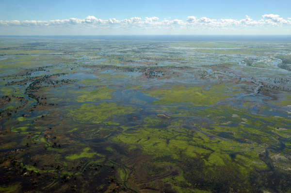 Eastern Caprivi in flood, Namibia |
 Eastern Caprivi Wetlands, Namibia |
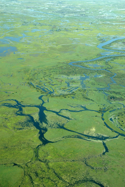 Eastern Caprivi Wetlands, Namibia |
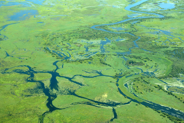 Kasika Concervancy, Eastern Caprivi, Namibia |
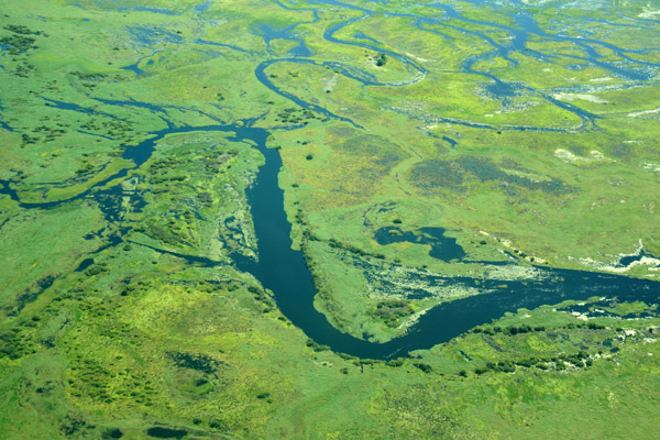 Kasika Concervancy, Eastern Caprivi, Namibia |
 Kasika Concervancy, Eastern Caprivi, Namibia |
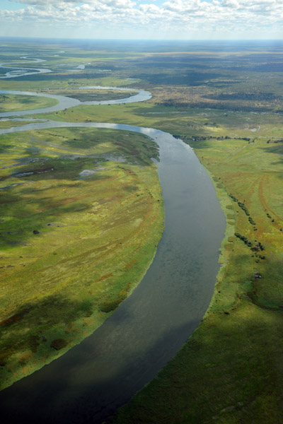
 Bend in the Zambezi River, Namibia-Zambia |
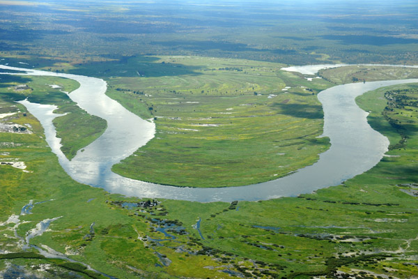 Bend in the Zambezi River, Namibia-Zambia (S17 42.2/E025 06.2) |
 Crossing the Zambezi River from Namibia to Zambia |
 Zambezi River between Namibia (left) and Zambia (right) |
 Crossing the Zambezi River from Namibia to Zambia |
 On the return trip - the Botswana-Namibia border |
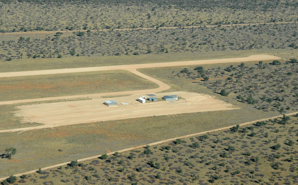 Gobabis Airport, Namibia (FYGB) |
 Gobabis Airport, Namibia (FYGB) |
 Gobabis Airport, Namibia (FYGB) |
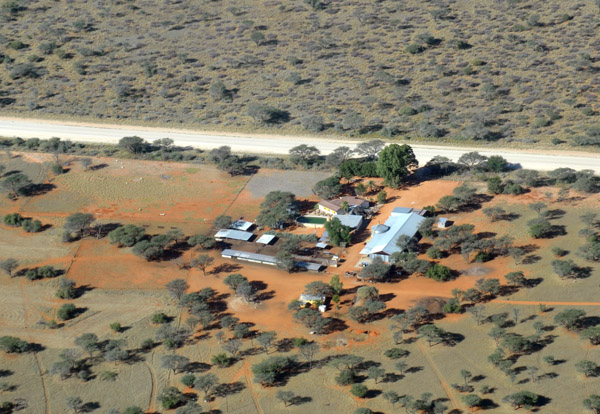 Farm southwest of Gobabis |
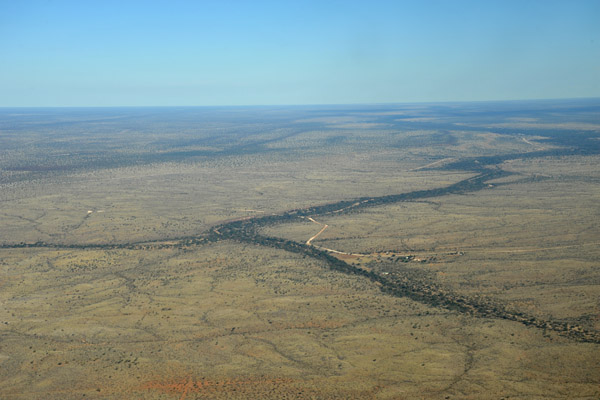 Course of the Nossob through the Kalahari |
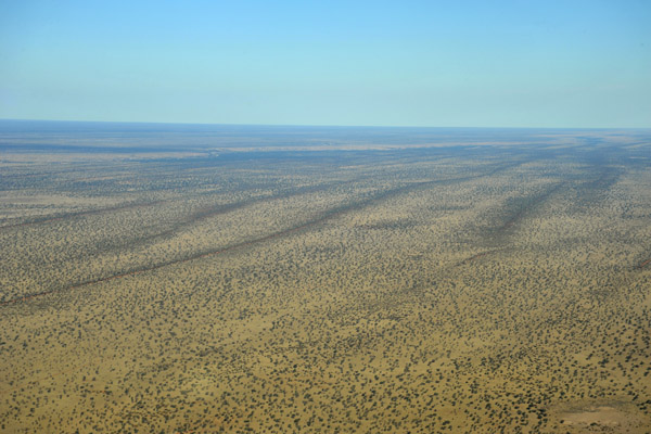 Western Kahahari, Namibia |
 Landing Runway 19 at Olifantwater West |
 V5-FIS at Olifantwater West, Eckhart's farm |
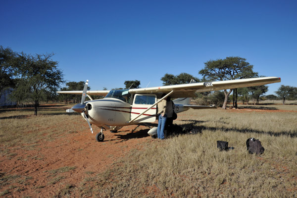 V5-FIS at Olifantwater West, Eckhart's farm |
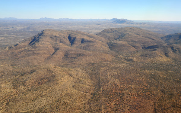
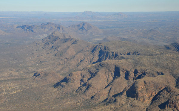 Mountains southeast of Windhoek, Namibia |
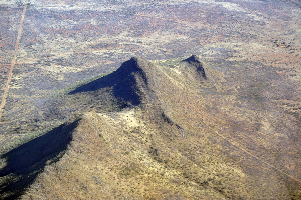
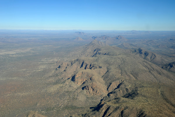 Mountains southeast of Windhoek, Namibia |
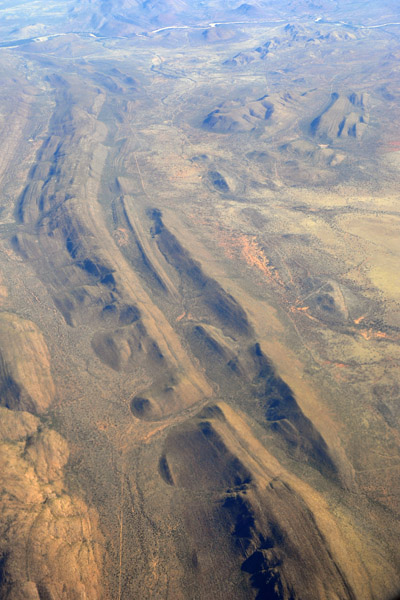
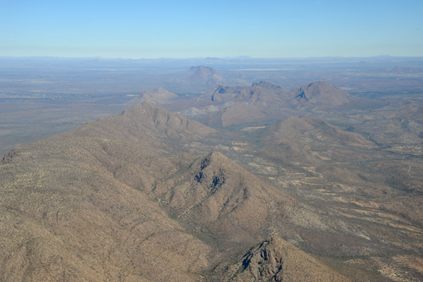 Mountains southeast of Windhoek, Namibia |
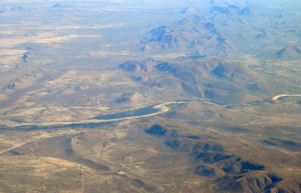
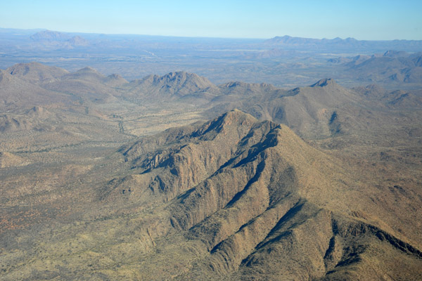 Mountains southeast of Windhoek, Namibia |
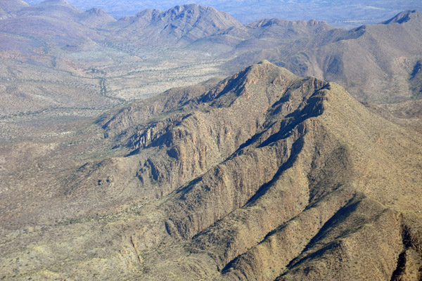 Mountains southeast of Windhoek, Namibia |
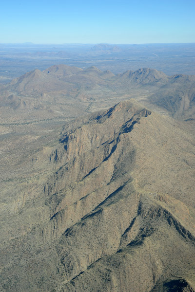 Mountains southeast of Windhoek, Namibia |
 Mountains southeast of Windhoek, Namibia |
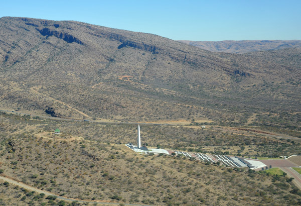 Heroes Acre, Windhoek, Namibia |
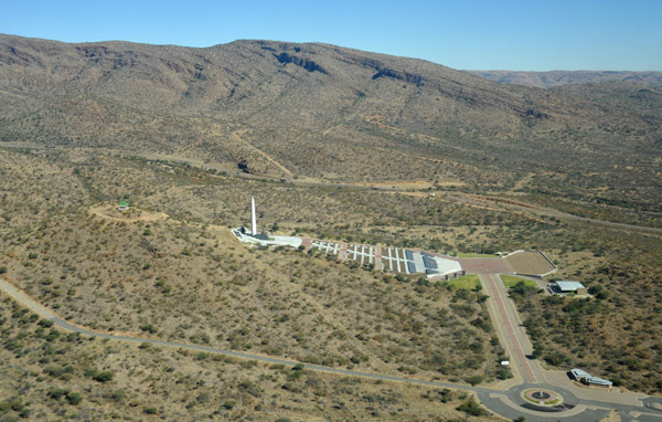 Heroes Acre, Windhoek, Namibia |
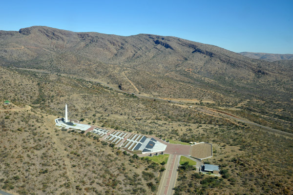 Heroes Acre, Windhoek, Namibia |
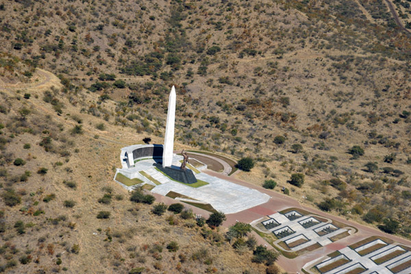 Heroes Acre, Windhoek, Namibia |
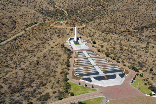 Heroes Acre, Windhoek, Namibia |
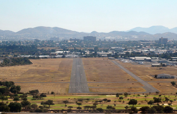 Landing Runway 01 at Windhoek-Eros (FYWE) |
 Mountains east of Windhoek |
 Enroute Windhoek-Johannesburg |
 Enroute Windhoek-Johannesburg |
 Enroute Windhoek-Johannesburg |
| comment | share |