


|
|
|
|
|
|
| Brian McMorrow | profile | all galleries >> Middle East, North Africa & the Caucasus >> Sudan السودان >> Eastern Sudan >> Kassala to Khartoum | tree view | thumbnails | slideshow |
 Up before the sun to catch a bus to Khartoum |
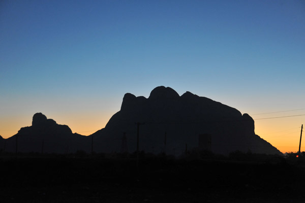
 Dawn in Kassala with the outline of the Taka Mountains |
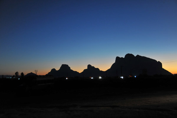
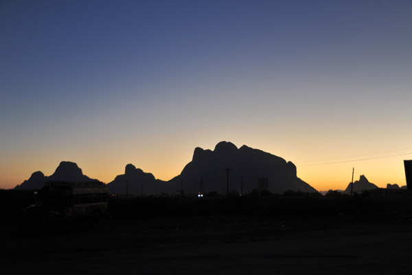 Dawn in Kassala with the outline of the Taka Mountains |
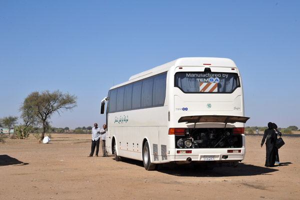
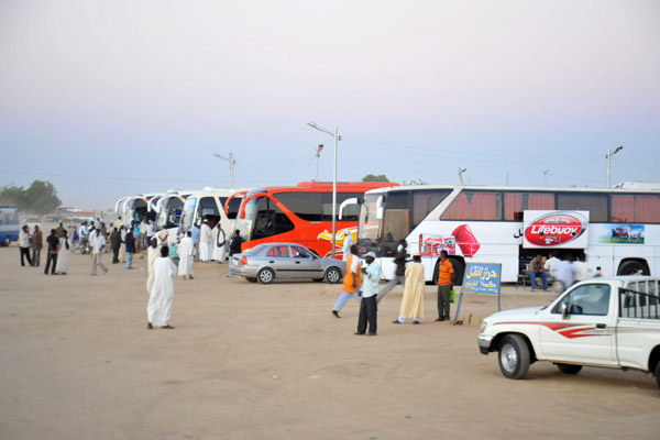 Early morning at the Kassala Long-Distance Bus Station |
 Early morning start for another long distance bus ride - this time, back to Khartoum |
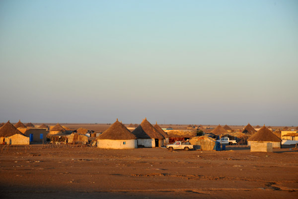
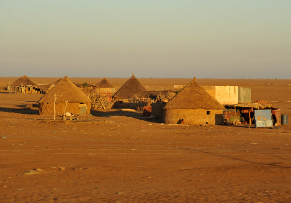
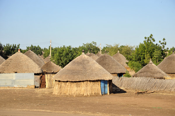
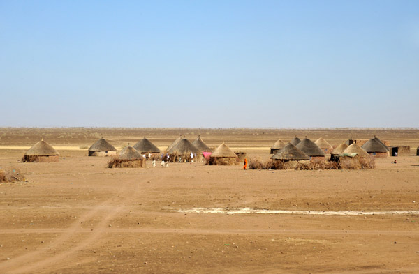
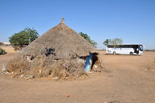
 Village of thatched rondavels outside Kassala |
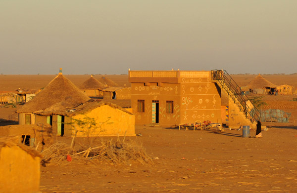
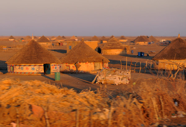 Some of the rondavels were painted with interesting symbols |
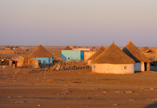
 Village of thatched rondavels on the flat desert of Eastern Sudan |
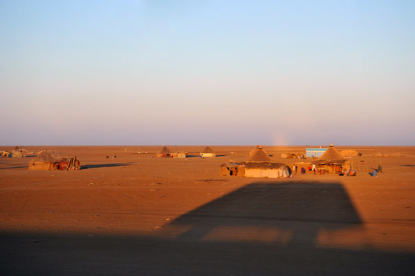 Early morning shadow of the bus bound for Khartoum |
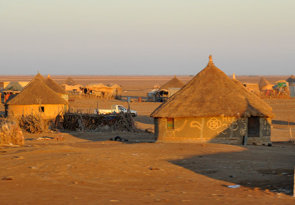
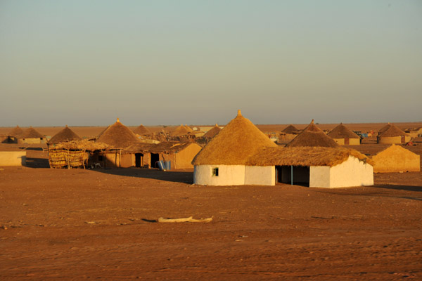
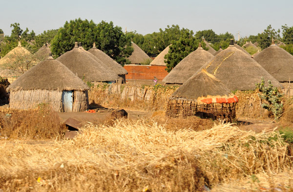
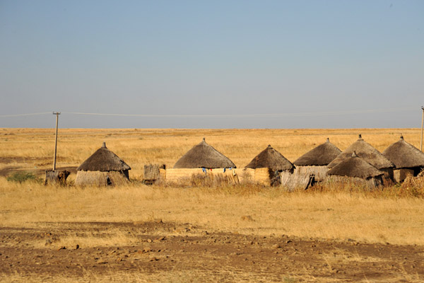
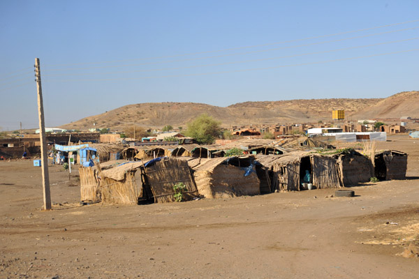
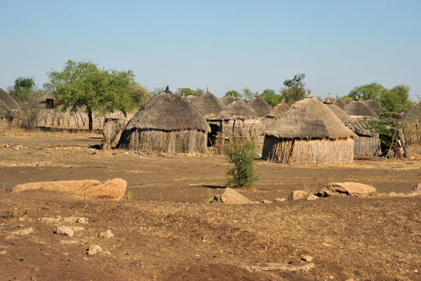
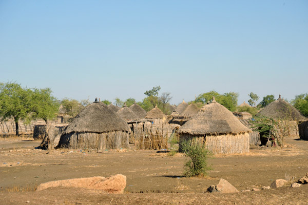
 Village between Kassala and Al Gadaref, Eastern Sudan |
 Village between Kassala and Al Gadaref, Eastern Sudan |
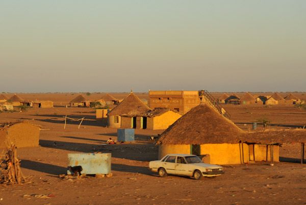 Village between Kassala and Al Gadaref, Eastern Sudan |
 Village between Kassala and Al Gadaref, Eastern Sudan |
 Thatched rondavel with an attached two-cart garage |
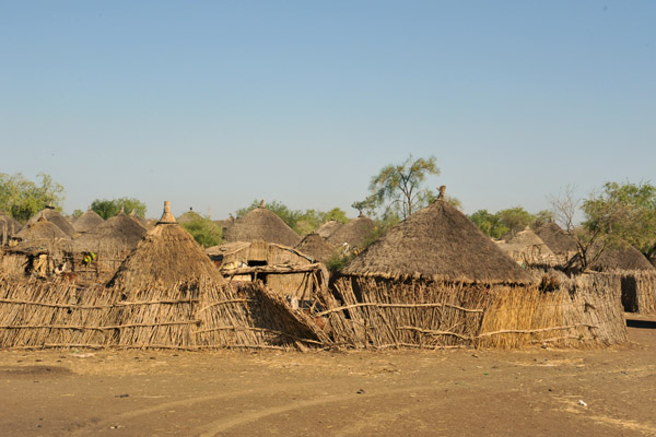
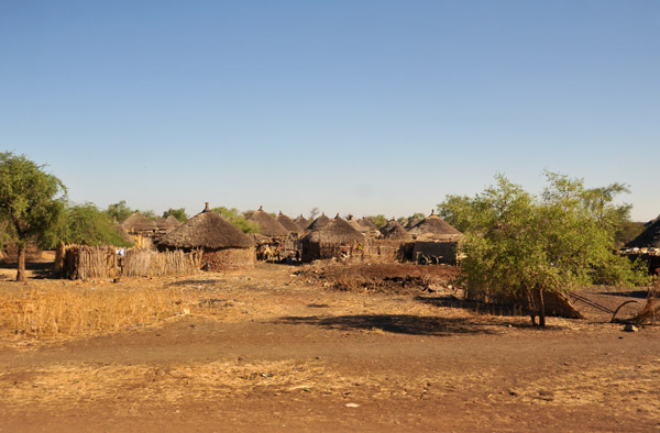
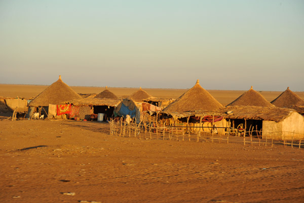 Village between Kassala and Al Gadaref, Eastern Sudan |
 Village between Kassala and Al Gadaref, Eastern Sudan |
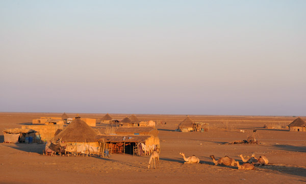
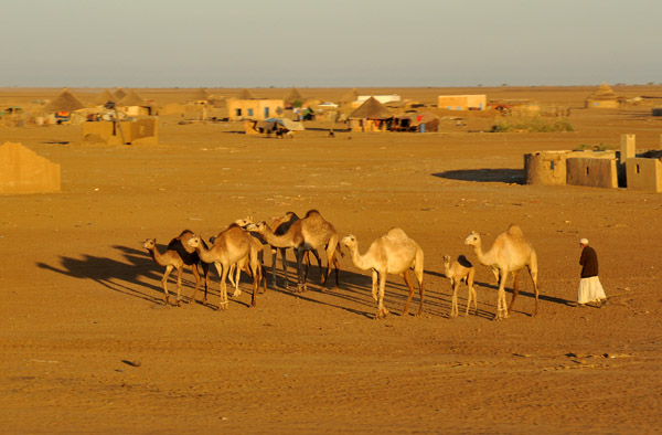 A herd of camels in a village |
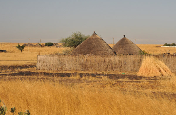
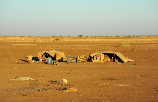 A pair of tents, Eastern Sudan |
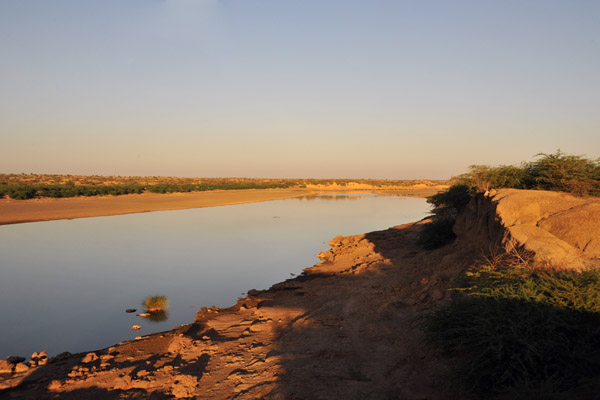 The Atbara River near Khashm el Qirba, Sudan |
 The Atbara River, the last major river to flow to the Nile |
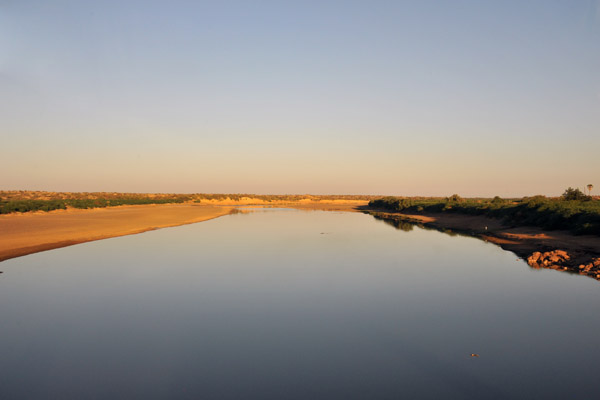
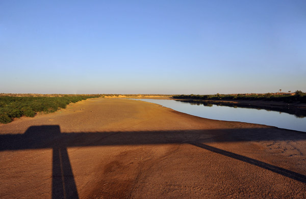 Crossing the bridge over the Atbara River at Kashm el Qirba, Sudan |
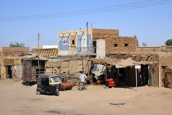
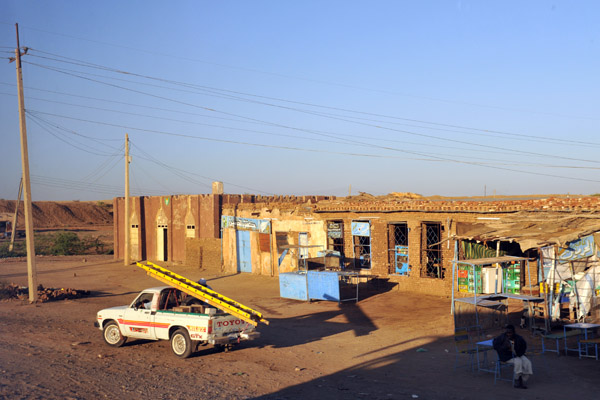 Sudanese "Strip Mall" |
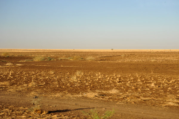 Emptiness |
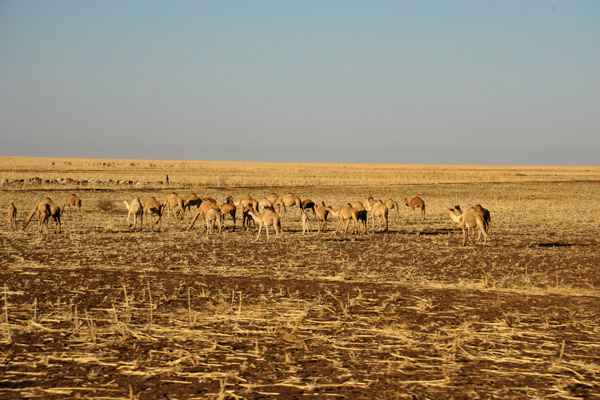 Herd of camels on a stubbly plain |
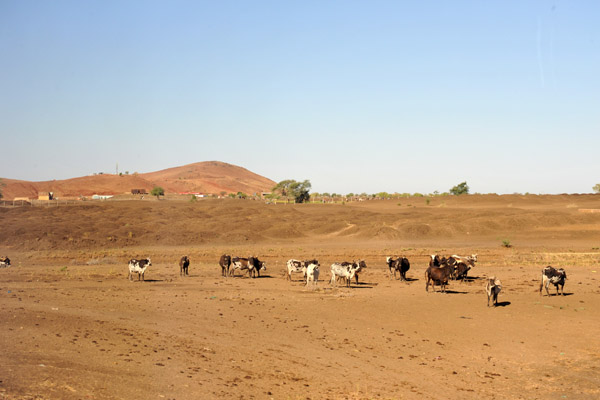
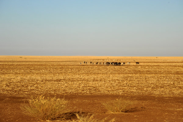 Cattle country of Eastern Sudan near El Gadaref |
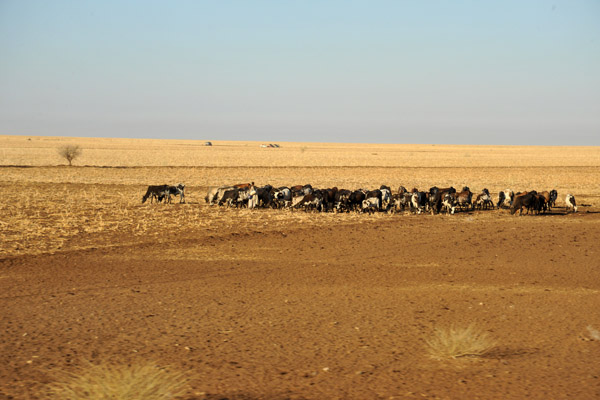 Cattle country of Eastern Sudan near El Gadaref |
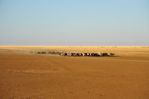 Cattle country of Eastern Sudan near El Gadaref |
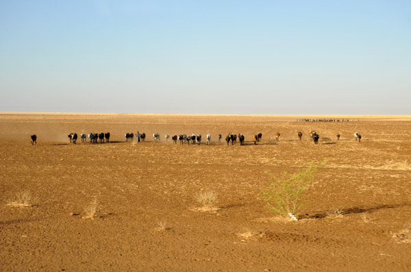 Cattle country of Eastern Sudan near El Gadaref |
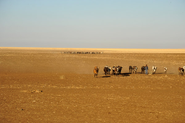 Cattle country of Eastern Sudan near El Gadaref |
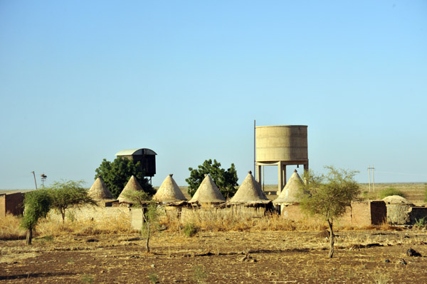 Conical huts of Sudan Railways |
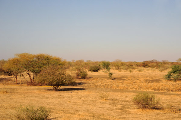 Passing through an area of scrubby bush |
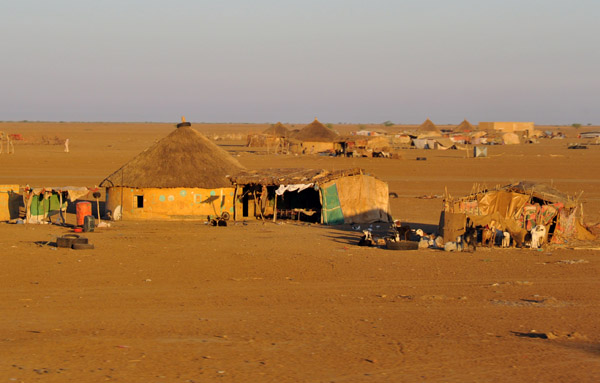
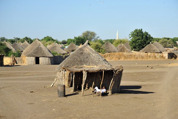 Huts of a "Real African" village near Cattle country of Eastern Sudan near El Gadaref |
 This area of Eastern Sudan is not far from the Ethiopian border |
 Village near near El Gadaref |
 Village near near El Gadaref |
 Village near near El Gadaref |
 Village near near El Gadaref |
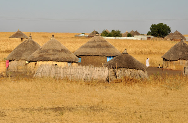 Village near near El Gadaref |
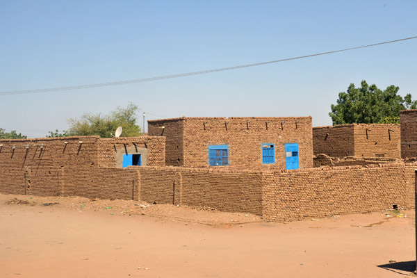
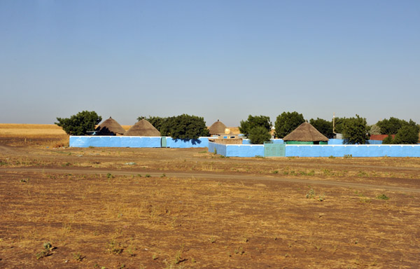 Village of rondavels surrounded by a blue wall |
 ...first hill in a while... |
 Al Gadarif |
 Al Gadarif |
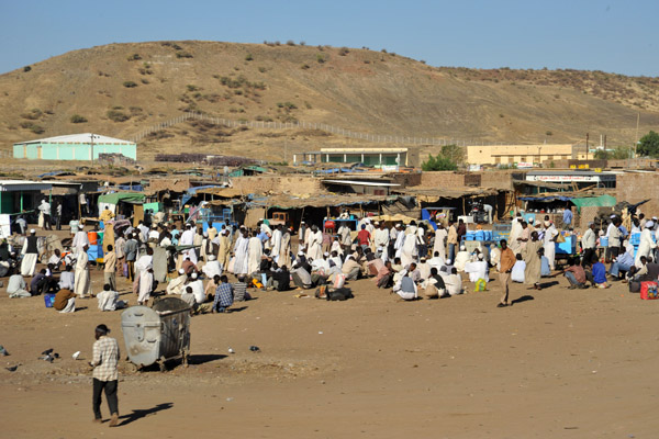 Al Gadarif |
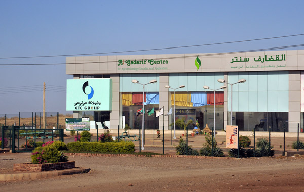 Al Gadarif Centre for Agrotechnology and Application |
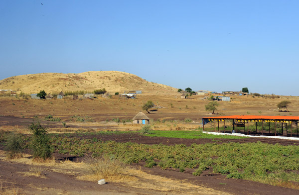
 Cattle and small hills near Al Gadarif |
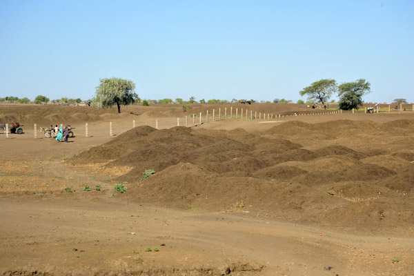 I'm not sure what all the small piles of dirt are for... |
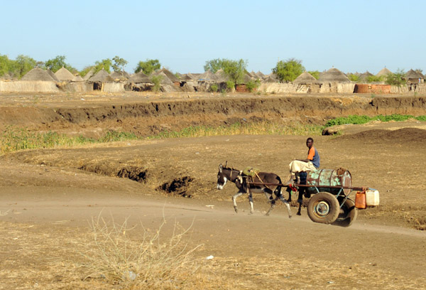 Donkey cart on a dirt road |
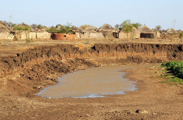 Water hole next to a village |
 As we continue west from Al Gedarif, the villages retain a distinctly "African" look |
 Village of thatched rondavels west of Al Gedarif, Eastern Sudan |
 Village of thatched rondavels west of Al Gedarif, Eastern Sudan |
 Eastern Sudan between El Gedarif and the Nile |
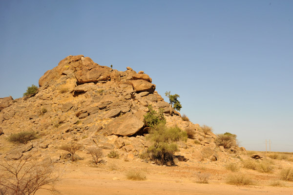 Rocky outcropping |
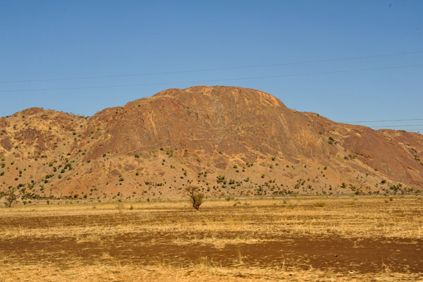 A small mountain ridge - Jebel Abu Khudud |
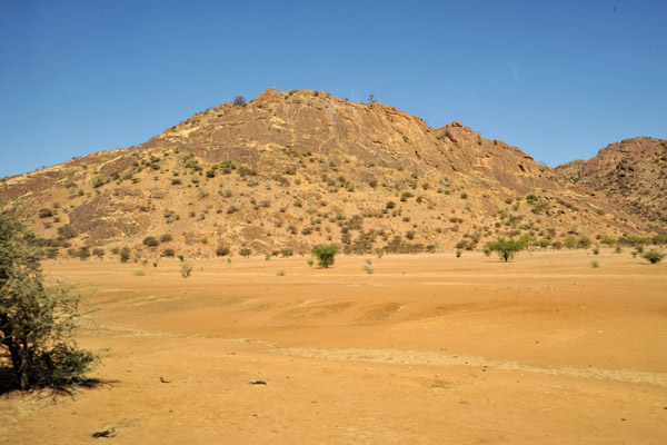 This small area of rocky hills doesn't last long |
 ...back in the flat plains... |
 Rest stop between Al Gedarif and Wadi Madani, Sudan |
 Thatched hut near at the rest stop |
 Secret Police control - again |
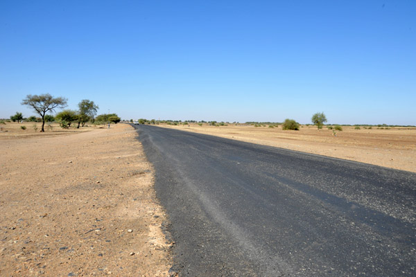 The road leading to Khartoum from Eastern Sudan |
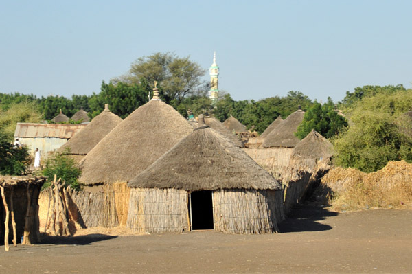
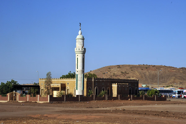
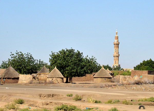 Minaret in a village that is a combination of rondavels and the more typical houses we've seen all over northern Sudan |
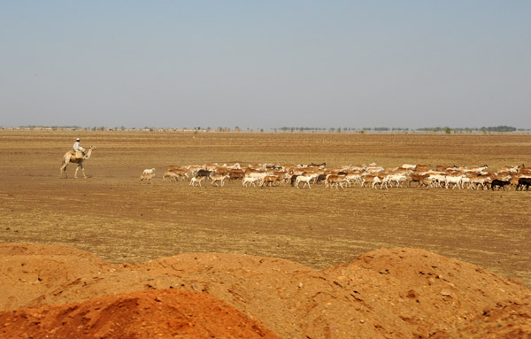 Man on camel herding sheep |
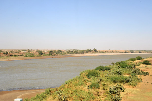 Crossing the Blue Nile at Wadi Medani |
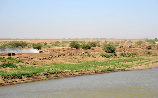 Brickyard on the west bank of the Blue Nile at Wadi Medani |
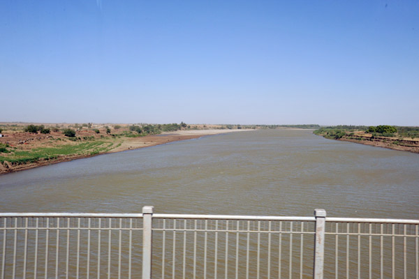 Crossing the Blue Nile at Wadi Medani |
 From Wadi Medani northward, no more thatched rondavel villages |
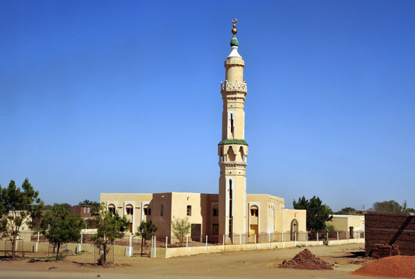
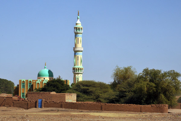
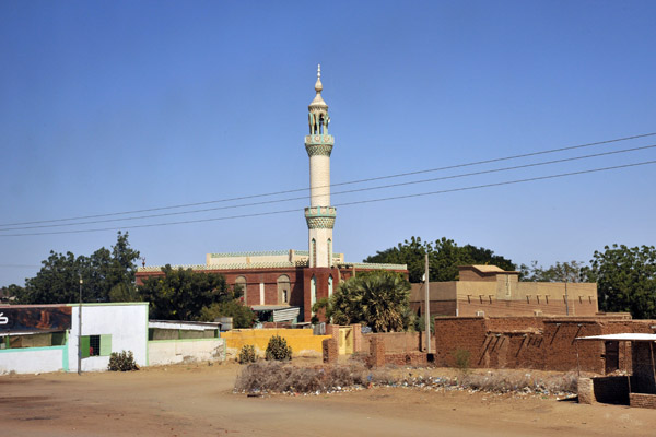 Mosque in a town along the southern Blue Nile |
 Mosque along the Blue Nile southeast of Khartoum |
 The area between the Blue and White Niles south of Khartoum is known as "Gezira" - the island |
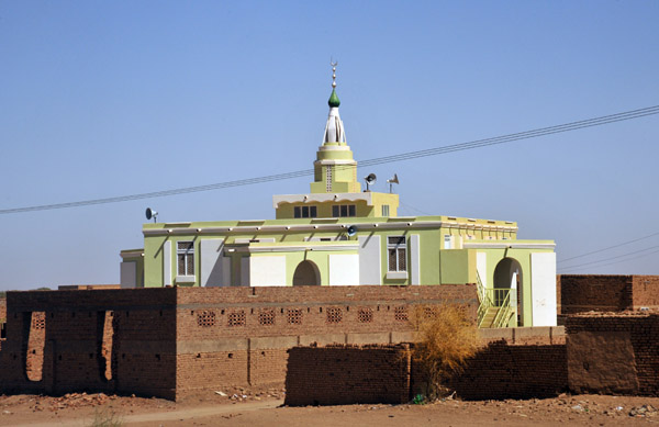 A rather different mosque - Gezira, Sudan |
 Typical house of Northern Sudan - Gezira |
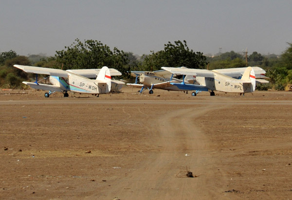 Antonov An-2 biplanes (cropdusters) - Al-Hasaheisa |
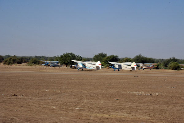 Antonov An-2 biplanes (cropdusters) - Al-Hasaheisa |
 Mosque - Gezira, Sudan |
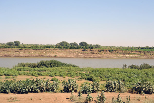 The Blue Nile |
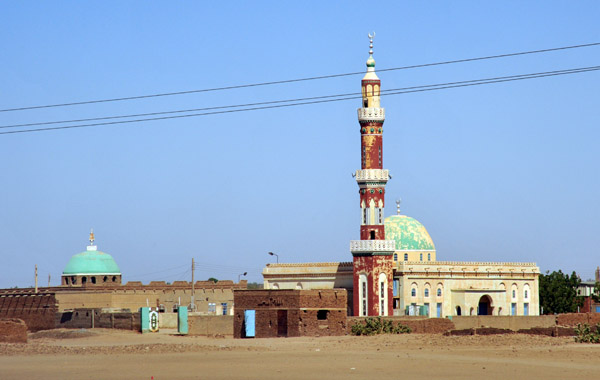
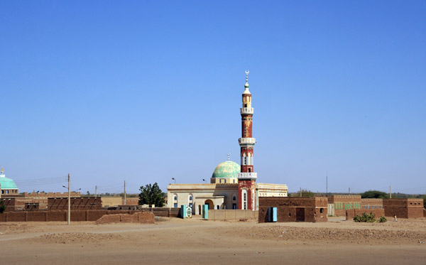
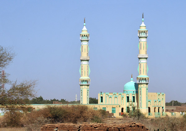 Mosque with two tall minarets, Gezira, Sudan |
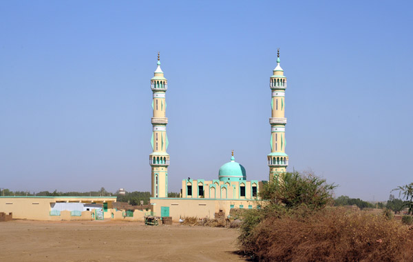 Mosque with two tall minarets, Gezira, Sudan |
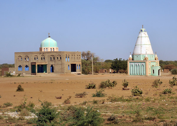 Tomb and mosque, Gezira |
 Mosque - Gezira |
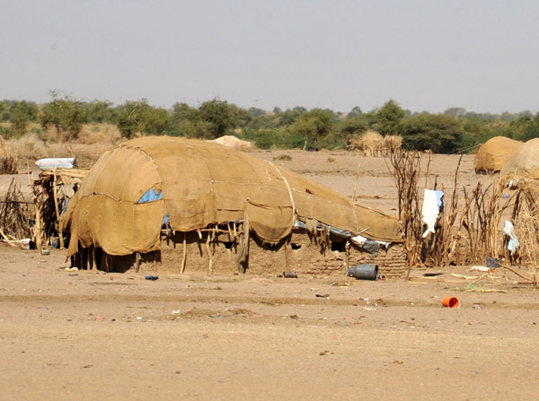 Village of tent-like huts, Gezira-Sudan |
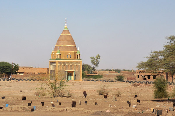 Cemetery and a large tomb, Gezira-Sudan |
 Arriving in Khartoum |
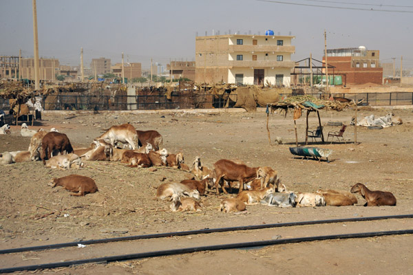 Livestock along the railway in southern Khartoum |
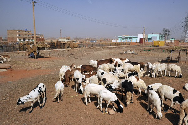 Herd of sheep, southern Khartoum |
| comment | share |