


|
|
|
|
|
|
| Brian McMorrow | profile | all galleries >> Europe >> Norway >> Jotunheimen to Gerainger | tree view | thumbnails | slideshow |
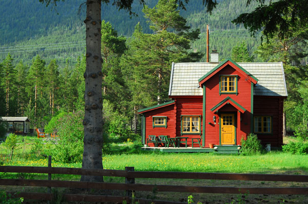
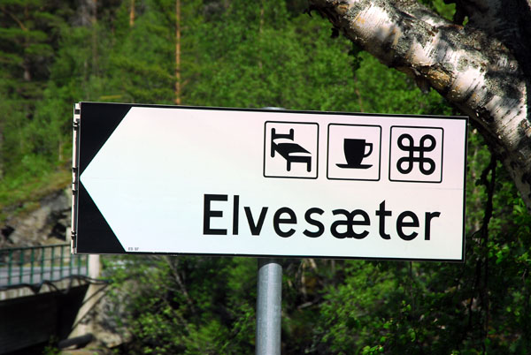 Elvesćter |
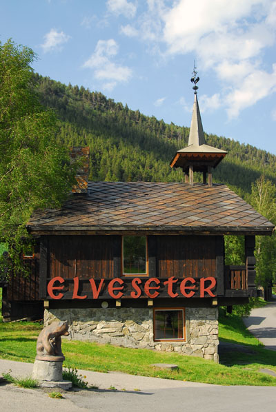 Elveseter Hotel |
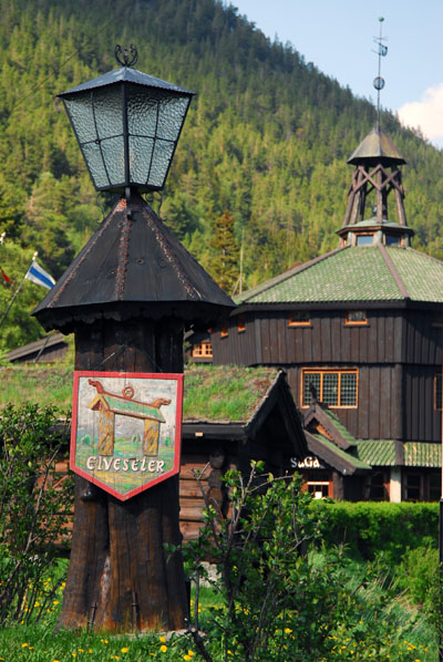 Elvesćter |
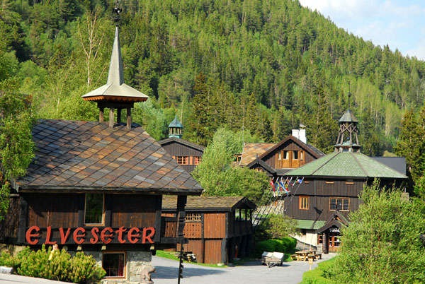 Elvesćter |
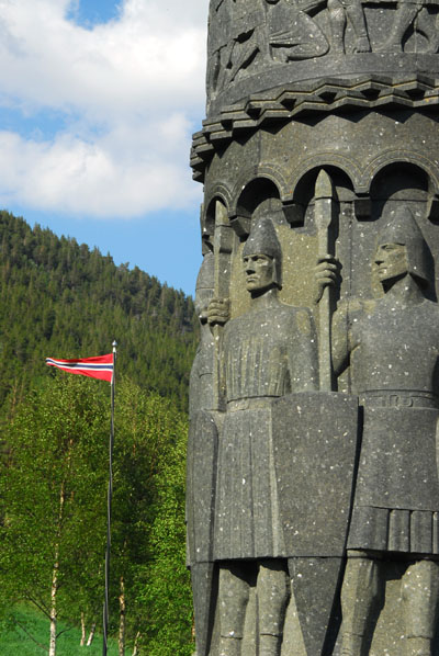
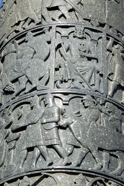
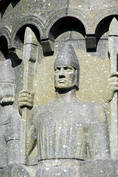
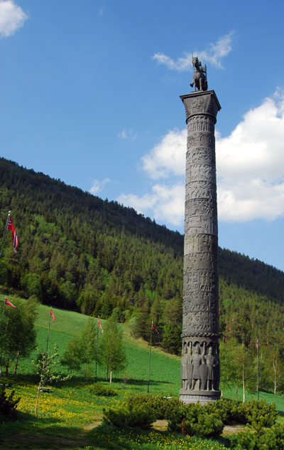 The Saga Column, Elvesćter, by W. Rasmussen |
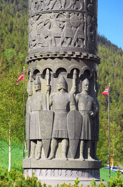 Represents Norwegian history 872-1814 |
 It was to be named the Eidsvoll Column |
 Eidsvoll was the site of the Norwegian constitutional convention |
 Work halted with World War II |
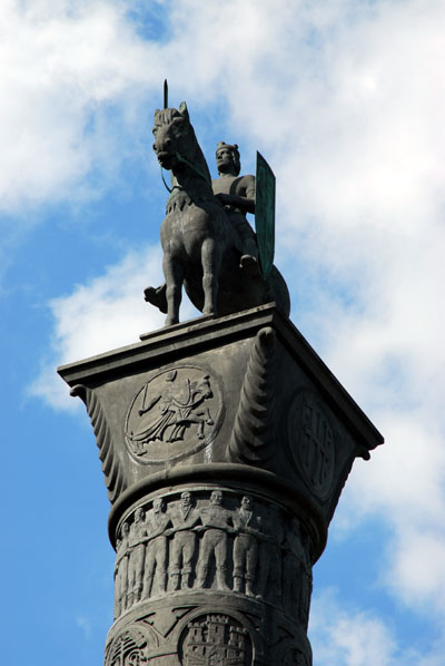 The unfinished column was acquired by Elvesćter |
 The Saga Column was finally finished in 1992 |
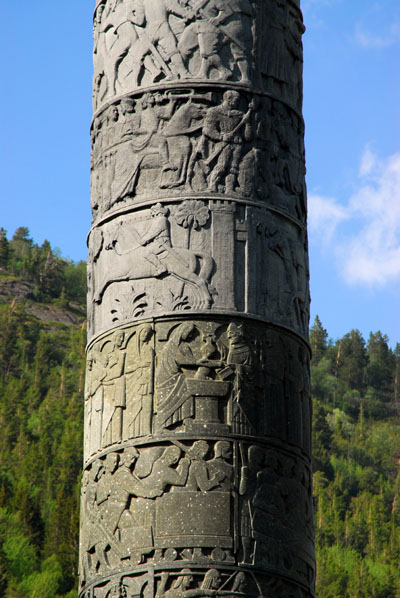 Saga Column starts with the Battle of Hafirsfjord |
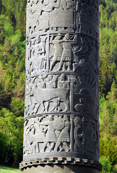 Saga Column ends with the 1814 Constitutional Convention at Eidsvoll |
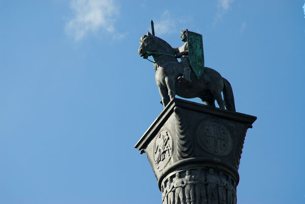 Saga column topped by King ??? |
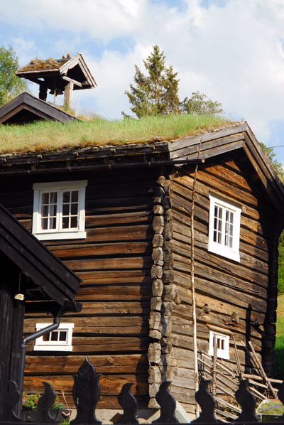
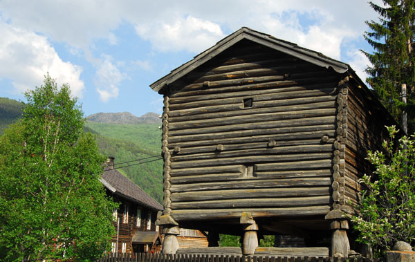
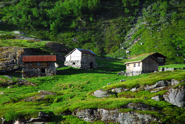
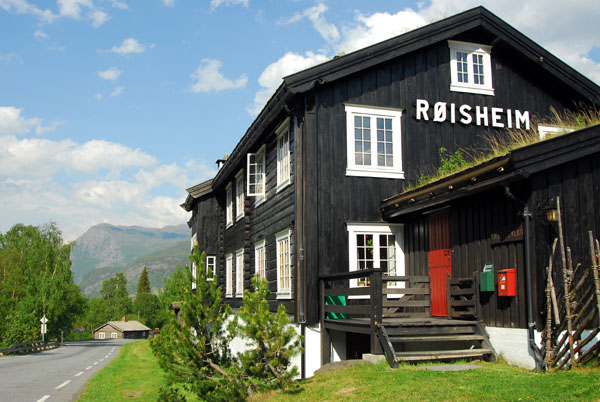 Rřisheim, Břverdalen |
 Turf roofed log house, Rřisheim |
 Log cabin, Rřisheim |
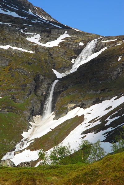
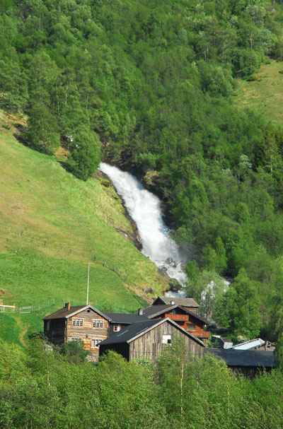 Waterfall near Rřisheim, Břverdalen |
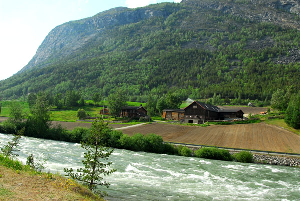
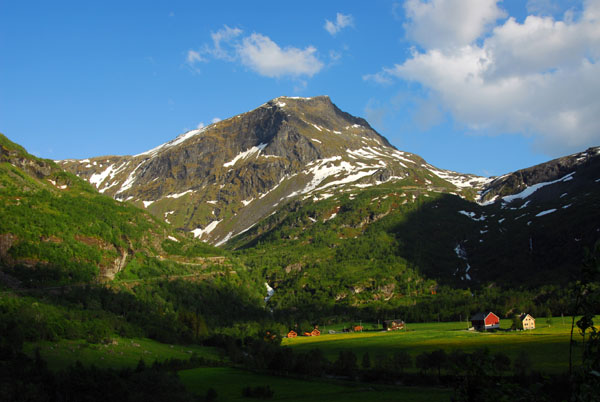
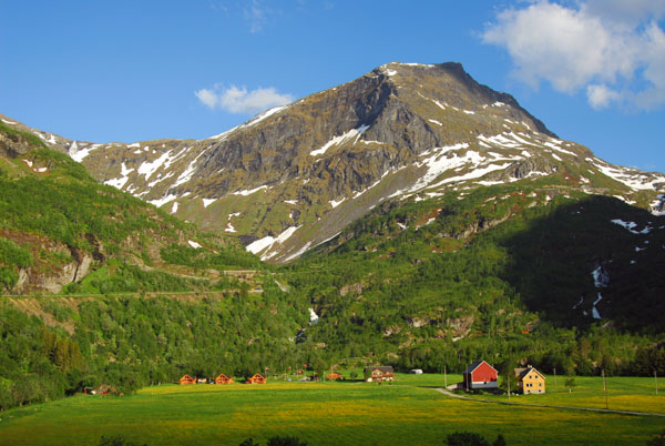
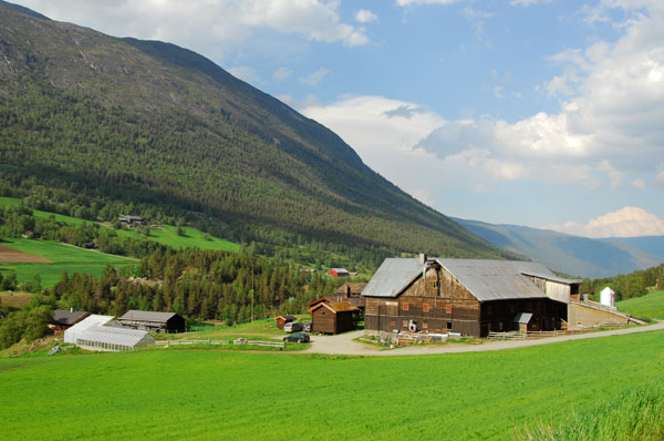 Farmland, Břverdalen |
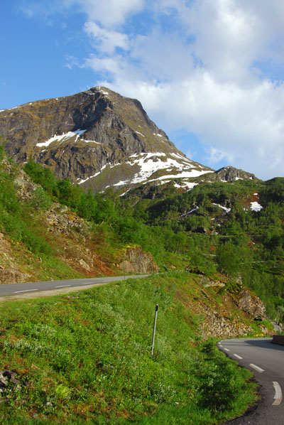
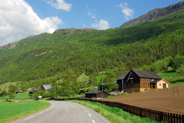 Route 55, Břverdalen |
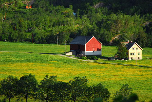
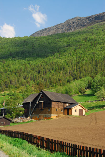 Farm, Břverdalen |
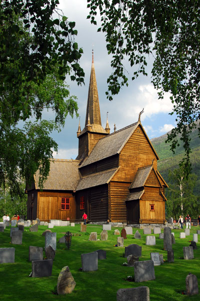
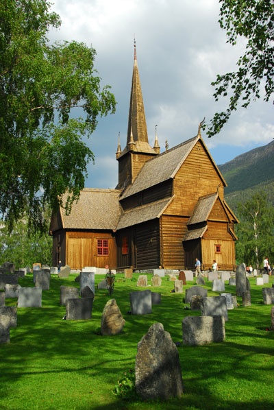
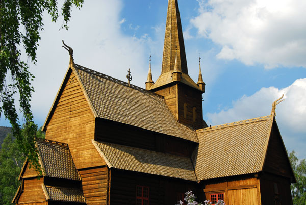
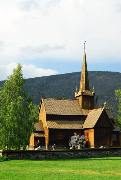 Stave Church, Lom |
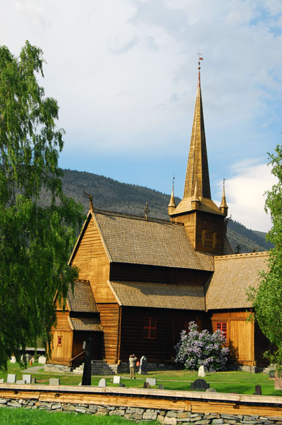 800 year old stave chuch, Lom |
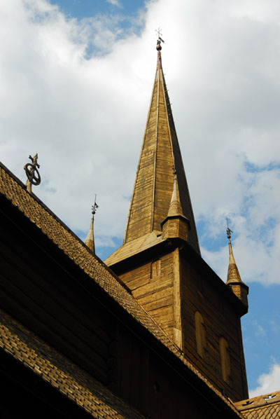
 Wooden steeple of Lom stave church |
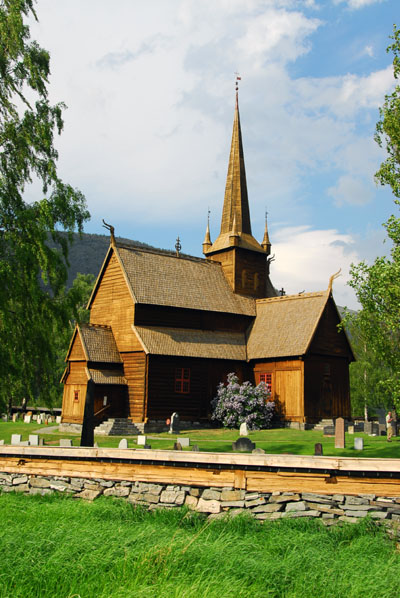 Lom stave church, ca 1200 |
 Lom Stabskirche |
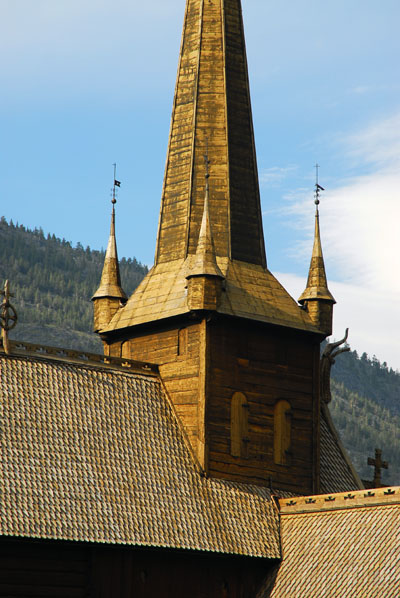
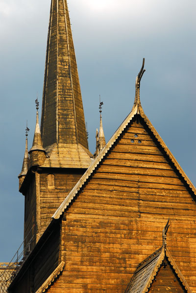
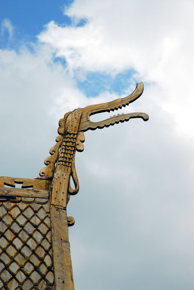 Detail of Lom stave church |
 Lom stave church |
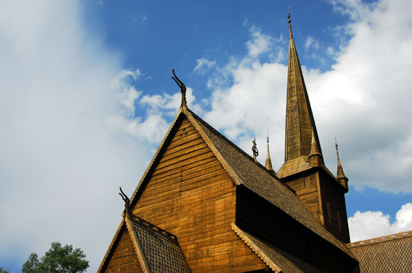
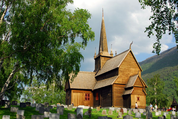 Lom Stavkyrkje |
 Lom stave church |
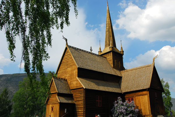
 Lom stave church |
 Lom stave church |
 Lom Stavkyrkje |
 Lom stave church |
 Lom stave church |
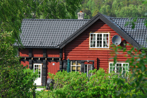 Red log home west of Lom along route 15, Ottadal |
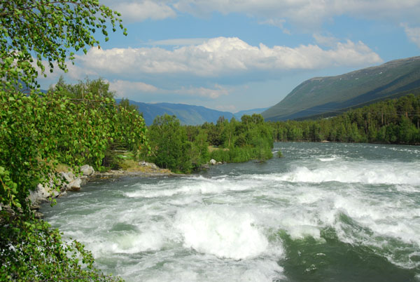 Raging Otta River at Ofossen Mill, Skjĺk, west of Lom |
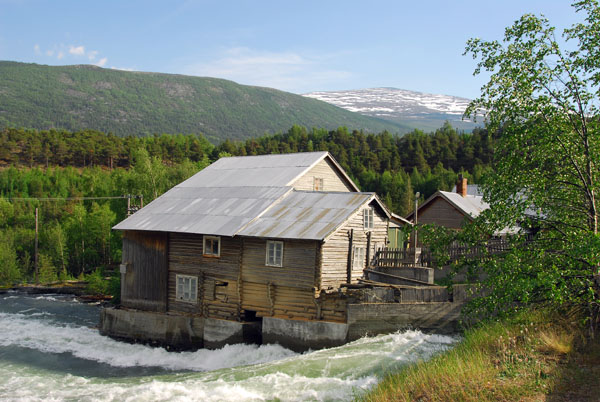 Ofossen Mill, Skjĺk |
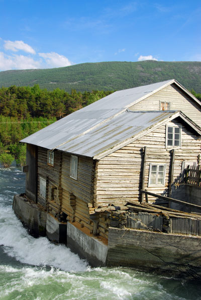 Ofossen Mřlle |
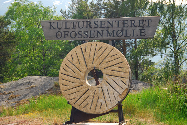 Kultursenteret Ofossen Mřlle, Skjĺk |
 Otta River |
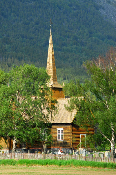
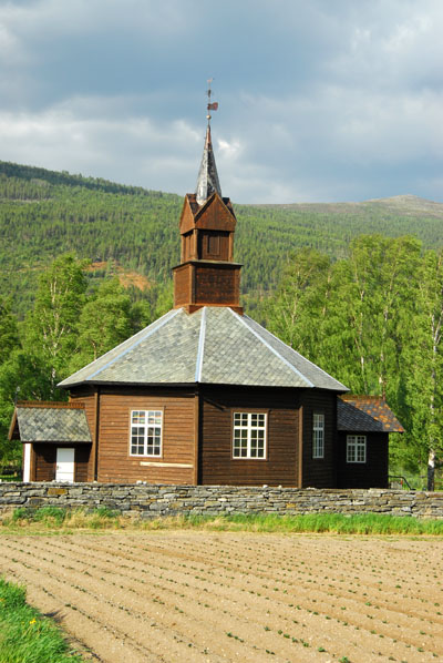
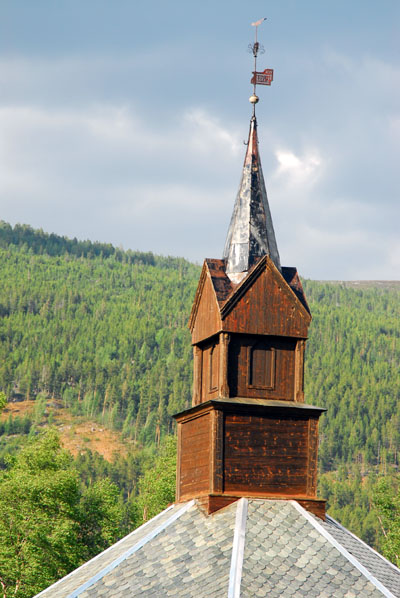
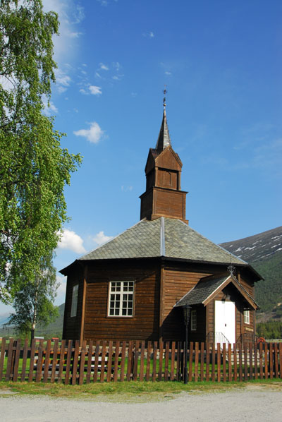 Nordberg kyrkje, 1864 |
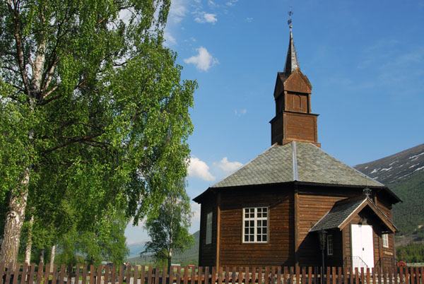 Octagonal Nordberg church along route 15 west of Lom |
 Nordberg church |
 Nordberg kyrkje |
 Red painted Norwegian log home near Nordberg, route 15 |
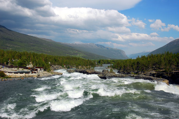 Otta River at Dřnfoss |
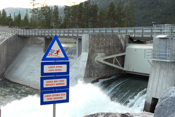 Dam on the Upper Otta River above Dřnfoss |
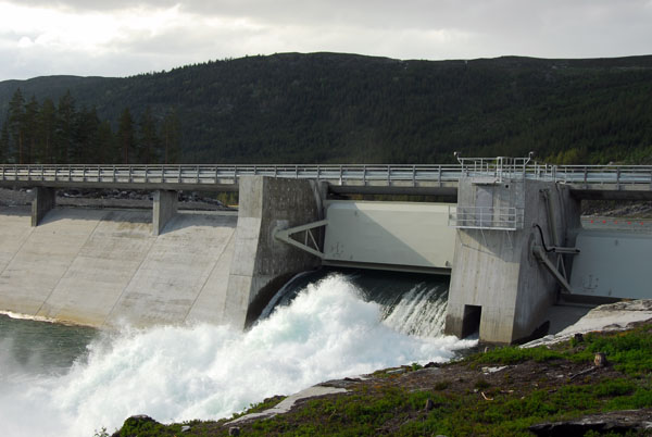 Heggebottvatnet Dam, Řvre Otta River |
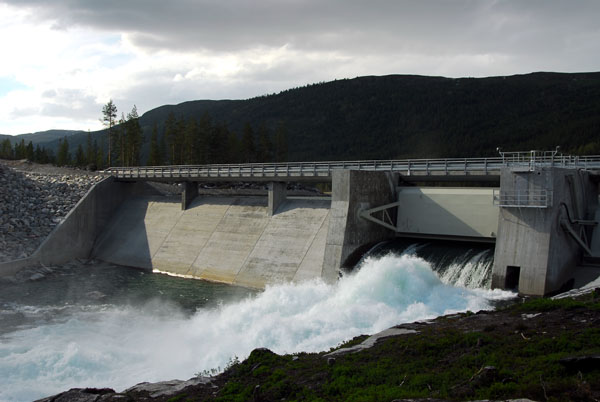 Heggebottvatnet Dam, Řvre Otta River |
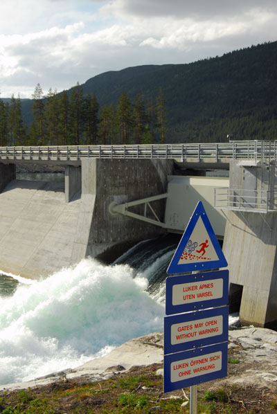 Gates May Open Without Warning |
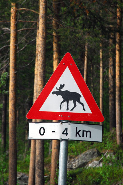
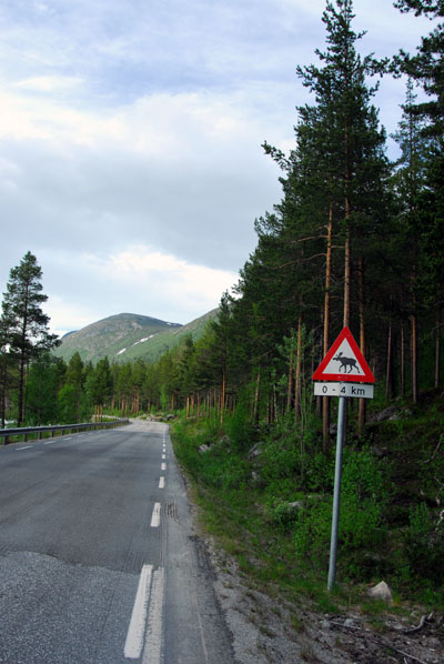 Moose territory, Route 15, Ottadalen |
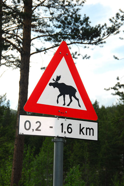 Moose crossing, Norway |
 Moose crossing, Norway |
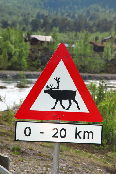 Reindeer crossing, Norway |
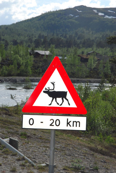 Reindeer crossing, Norway |
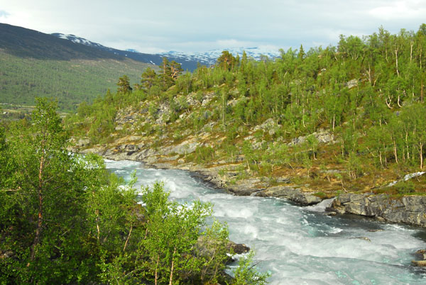
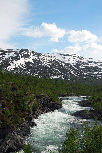
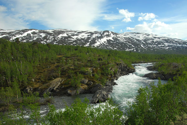
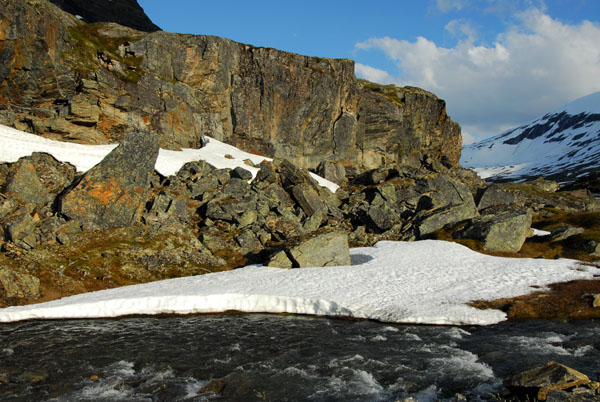
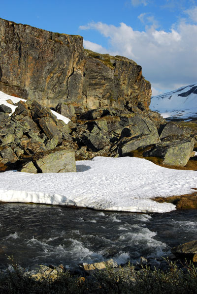
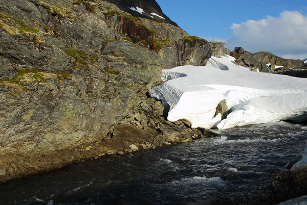
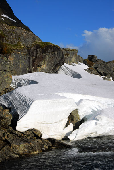
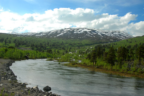 Otta River |
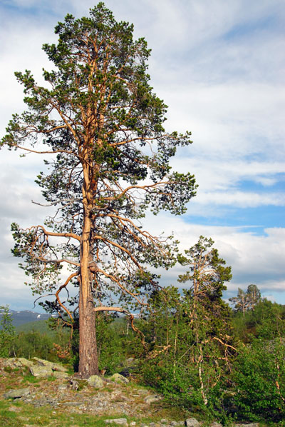 Tree, Ottadalen |
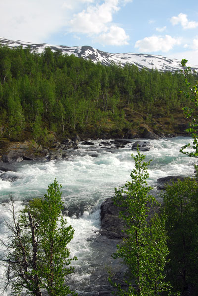 Otta River |
 Ottadalen |
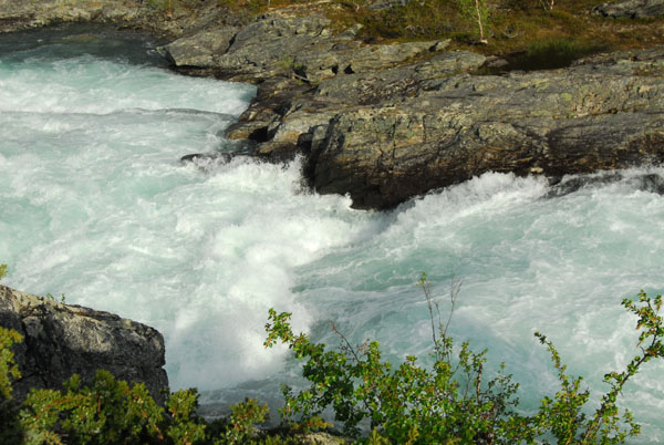 Otta River |
 Řvre Otta |
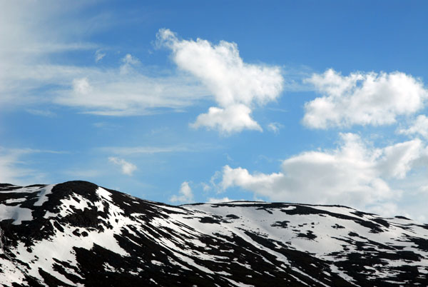 Mountaintops above the Otta River |
 Ottadalen |
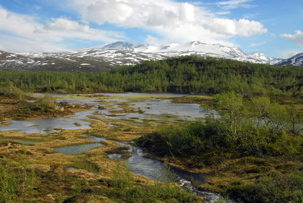 Moose habitat, Ottadalen, Norway |
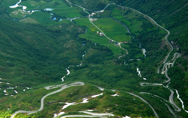
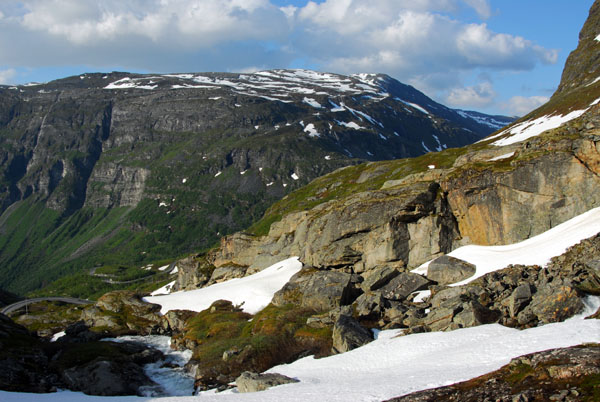
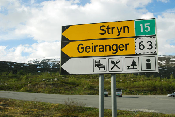 Route 15 to Stryn east of the Geiranger turnoff |
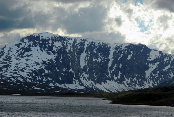
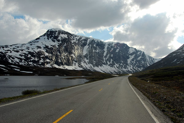
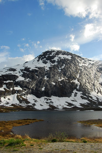
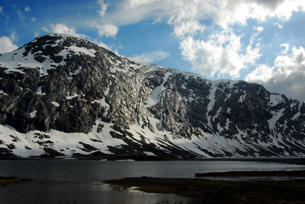
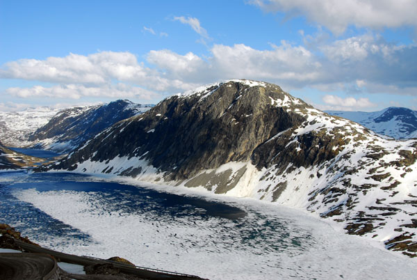
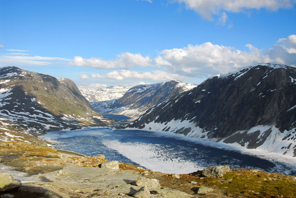
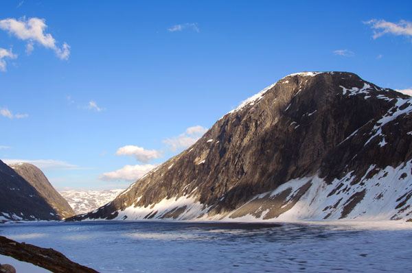
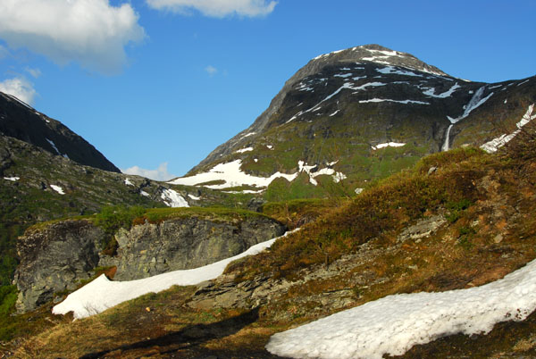
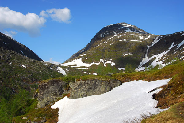
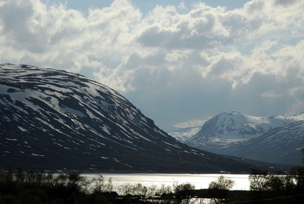 Approaching Breidalsvatn from the east |
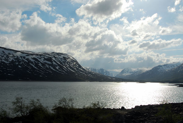 Breidalsvatn |
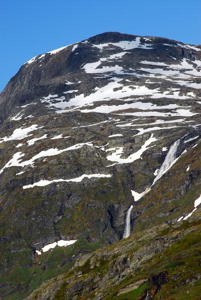
 Breidalsvatn, Vassvendegga |
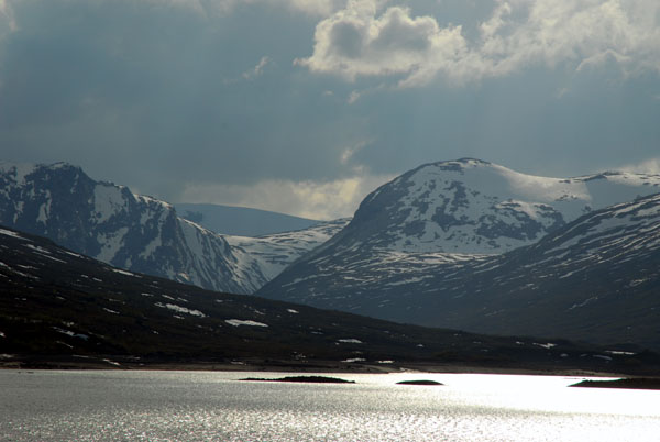 Mountains at the west end of Breidalsvatn |
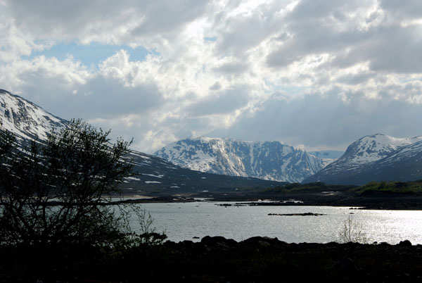 Breidalsvatn |
 Breidalsvatn |
 Breidalsvatn 880m |
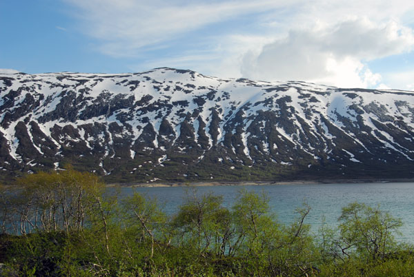
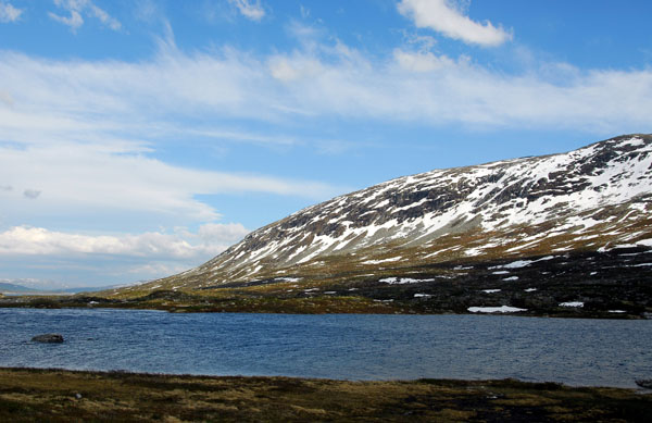
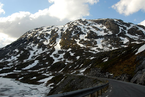
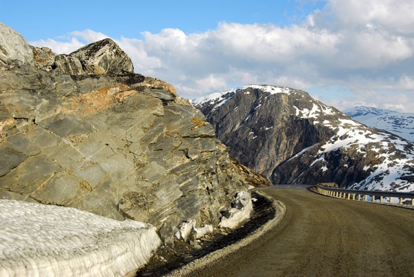
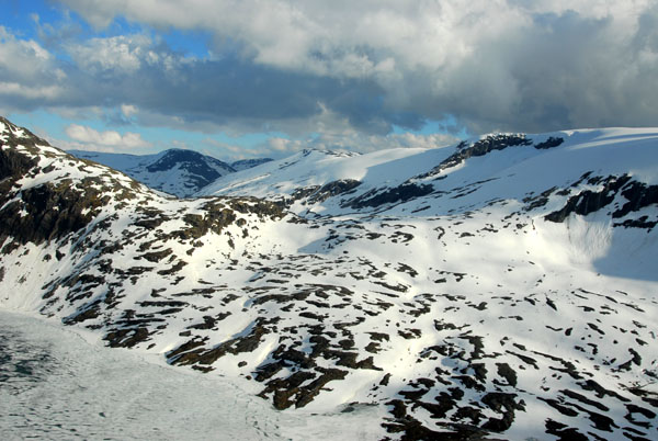
 North side of Strynefjellet from route 15 east of the 63 turnoff |
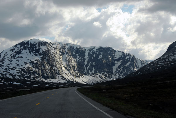 North side of Strynefjellet from route 15 east of the 63 turnoff |
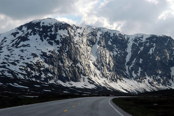 North side of Strynefjellet from route 15 east of the 63 turnoff |
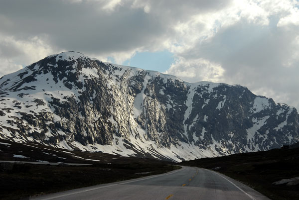 North side of Strynefjellet from route 15 east of the 63 turnoff |
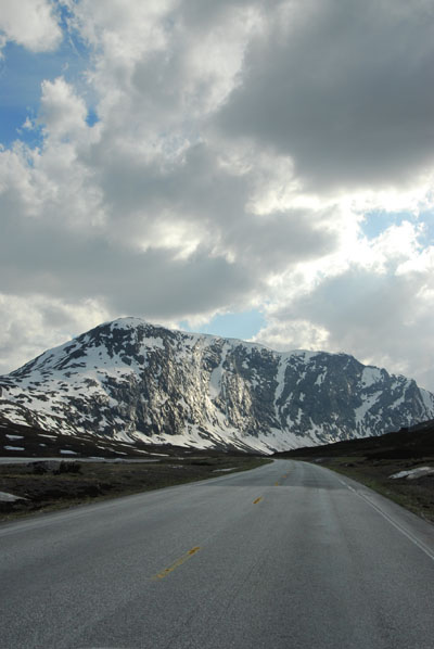 North side of Strynefjellet |
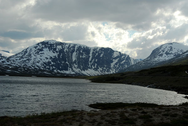
 Route 15, Lćgervatna, Strynefjellet |
 Lćgervatna, Strynefjellet |
 Lćgervatna, Strynefjellet |
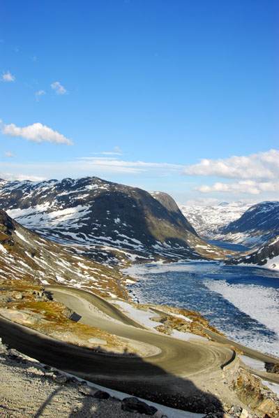
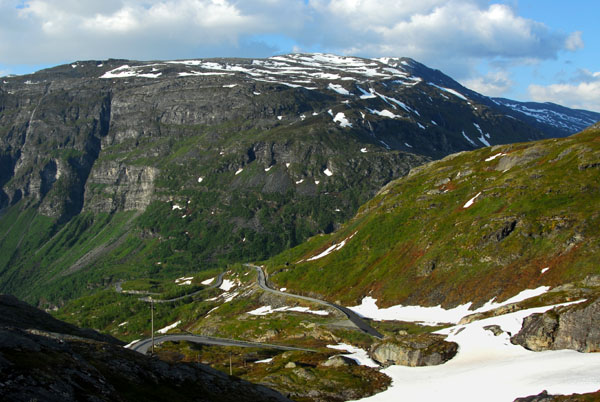
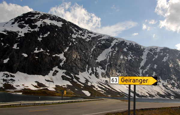 Turnoff from Rte 15 to Rte 63 to Gerainger |
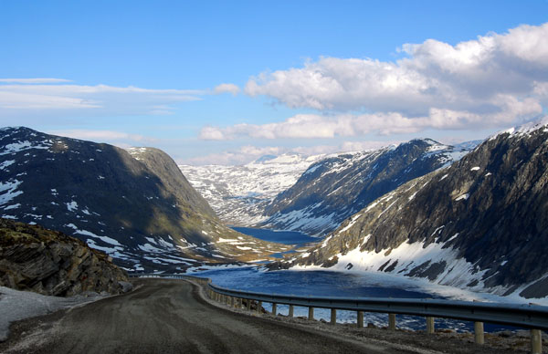
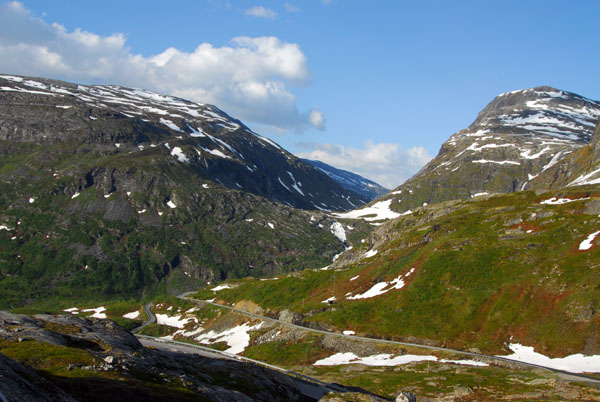
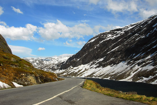 Route 63 along the Langevatn |
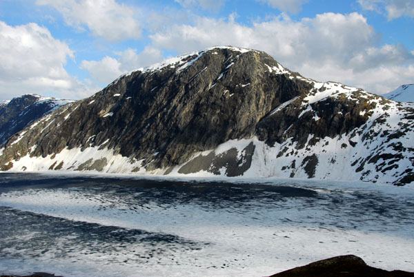
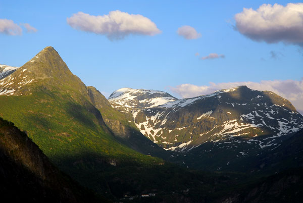
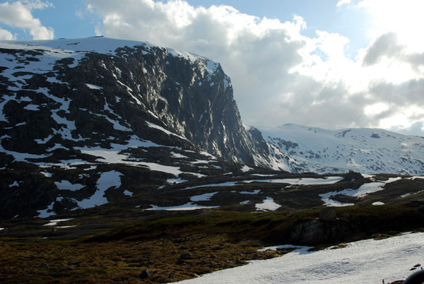 Grasdalsegga (1570m) |
 Route 63 |
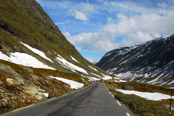
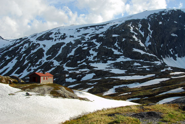 Remote hut along Route 63 |
 Route 63 |
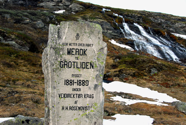 Monument marking the highest point on Route 63 (1038m/3294ft) built 1881-1889 |
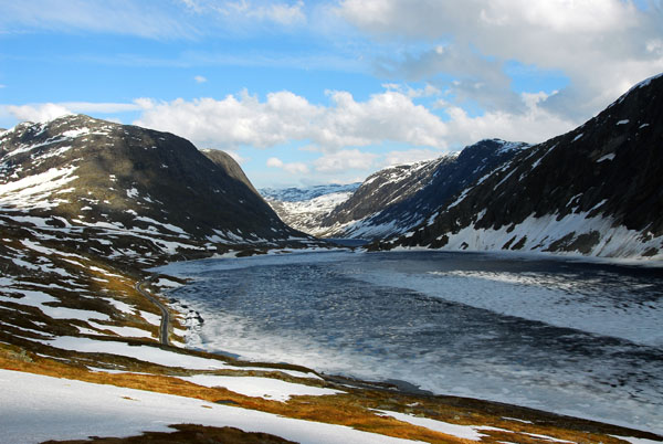
 Icy Djuppvann |
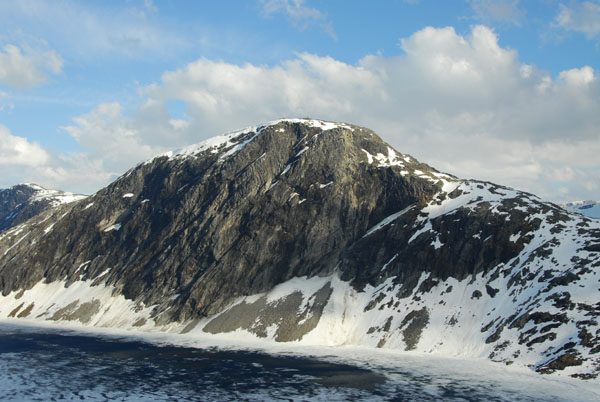
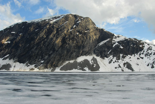 Grasdalsegga (1570m) |
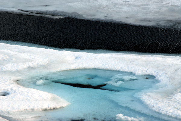
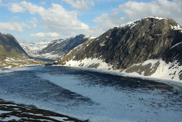
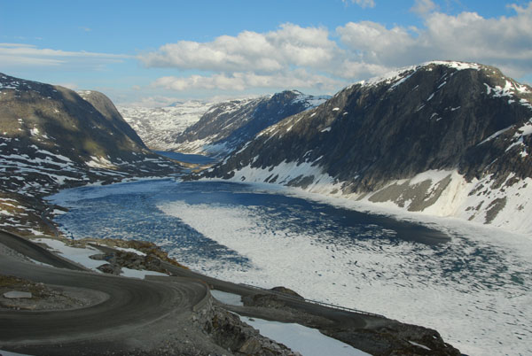
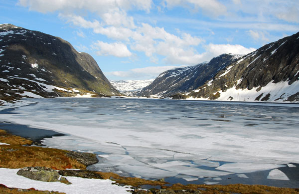 Djuppvann - lake (1004m) still mostly frozen |
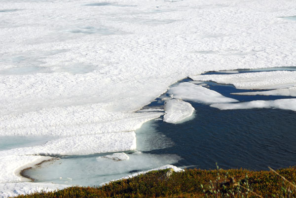 Break in the ice of Djupvann |
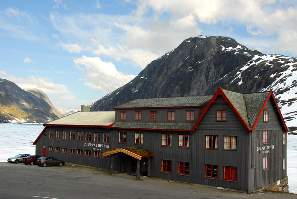 Djupvasshytta Hotel (1020m) |
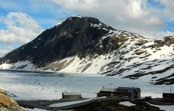 Djupvasshytta Hotel, Djupvann lake, Grasdalsegga mountain |
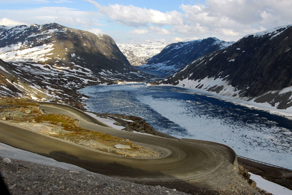
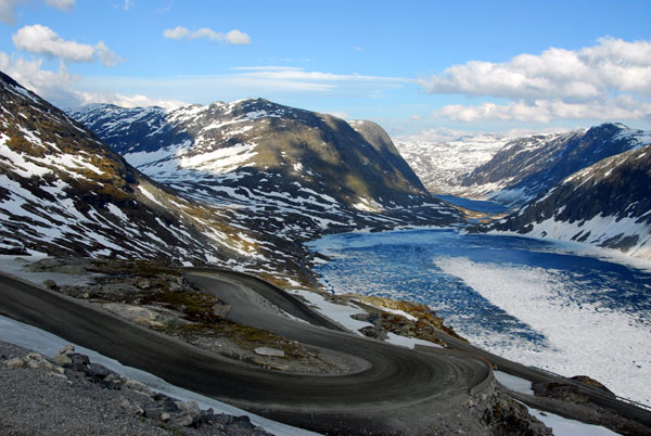
 Djupvann lake from the start of the Dalsnibba Road |
 Djupvann lake, Grasdalsegga mountain from Dalsnibba mountain road |
 Djupvann lake, Grasdalsegga mountain from Dalsnibba mountain road |
 Grasdalsegga mountain from Dalsnibba mountain road |
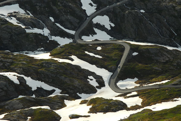
 Dalsnibba mountain road (toll) |
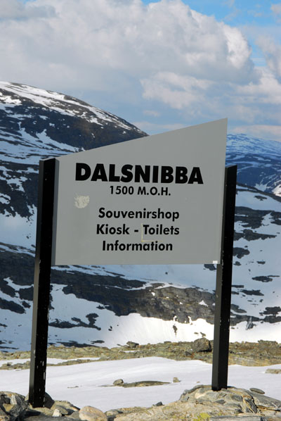 Dalsnibba summit, 1500m above Geirangerfjord |
 Dalsnibba summit |
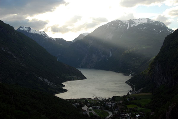
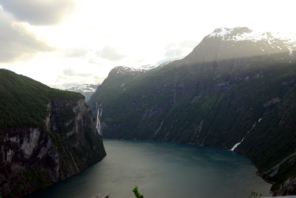
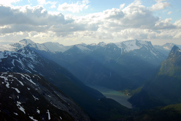 Geirangerfjord views are best in the morning |
 Geirangerfjord and a side view of Grindalsnibba from the summit of Dalsnibba (1500m) |
 View from the summit of Dalsnibba |
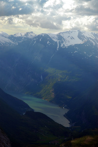 Geirangerfjord |
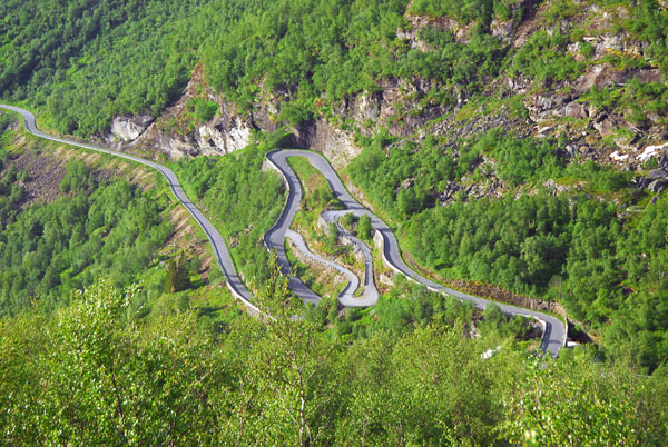
 Serpentine descent of Route 63 to Geirangerfjord seen from the summit of Dalsnibba |
 Rapid descent of Route 63 |
 Route 63 seen from Dalsnibba |
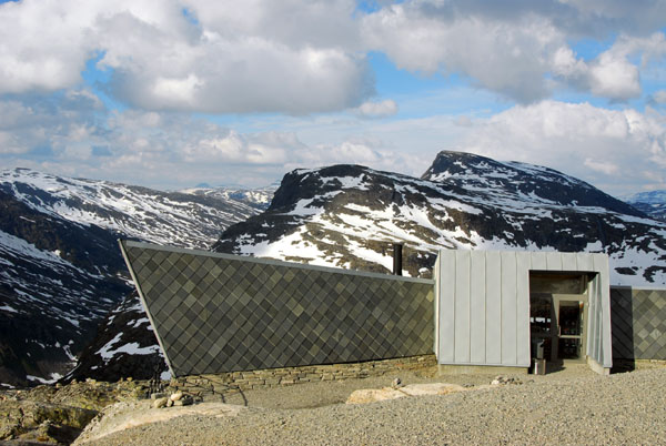
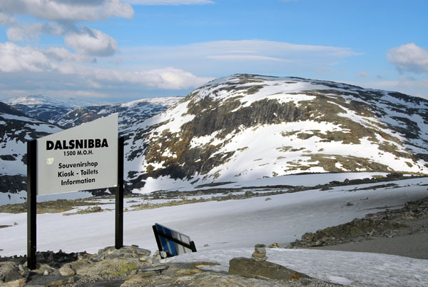 Dalsnibba Summit |
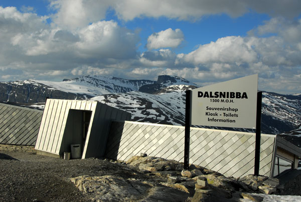 Kiosk at the summit of Dalsnibba |
 Vinsĺshornet 1343m from Dalsnibba |
 Dalsnibba summit |
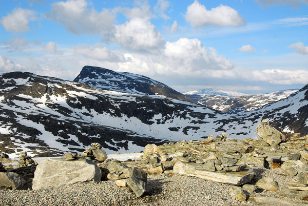
 Stone cairns on the summit of Dalsnibba |
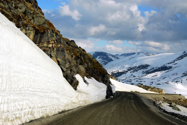 Descending Dalsnibba mountain road |
 Descending Dalsnibba mountain road |
 Descending Dalsnibba mountain road |
 Djupvann lake, Grasdalsegga mountain from Dalsnibba mountain road |
 Dalsnibba mountain road (toll) |
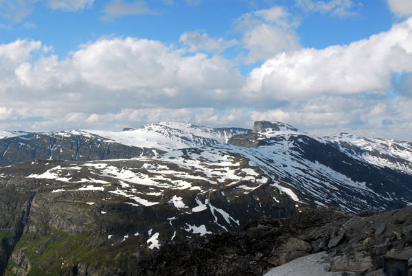
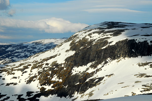
 Mountains surrounding Dalsnibba |
 Djupvann lake |
 Djupvann lake |
 Djupvann lake from Dalsnibba road |
 Djupvann lake and Grasdalsegga mountain |
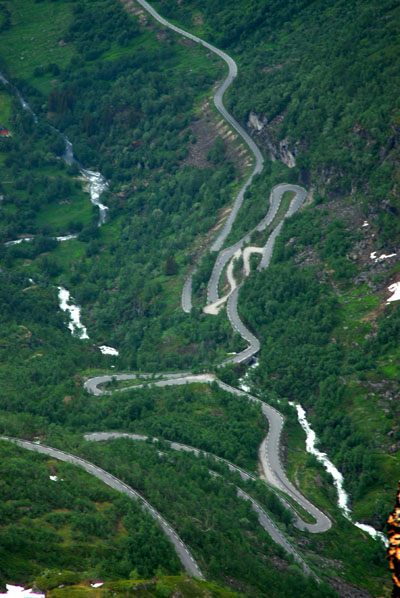
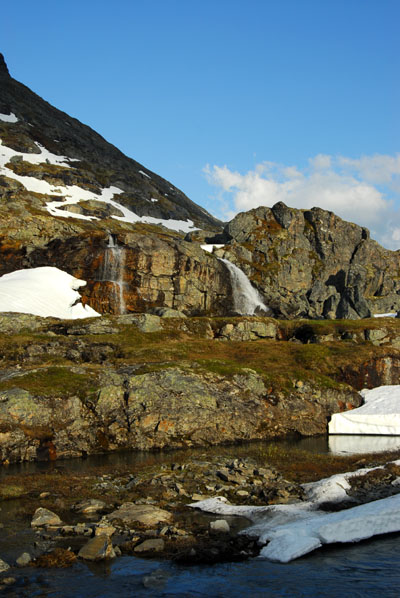 Along Route 63 |
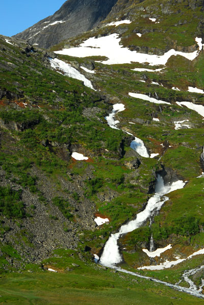
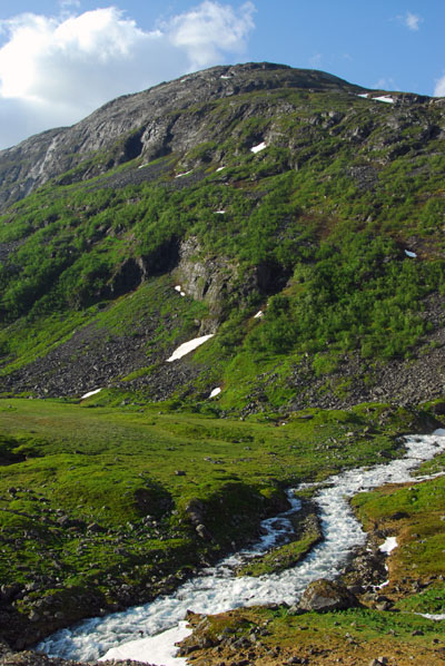
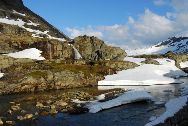 Snowy stream and small waterfalls along Route 63 descending from Djupvann to Geirangerfjord |
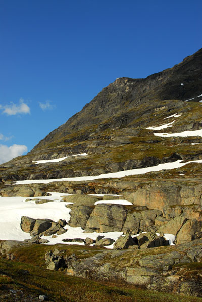 The side of Dalsnibba |
 Snowy stream and small waterfalls along Route 63 descending from Djupvann to Geirangerfjord |
 Along Route 63 |
 Stream and summer snow along Route 63 |
 Summer snow |
 Descending towards Geirangerfjord via Route 63 |
 Descending towards Geirangerfjord via Route 63 |
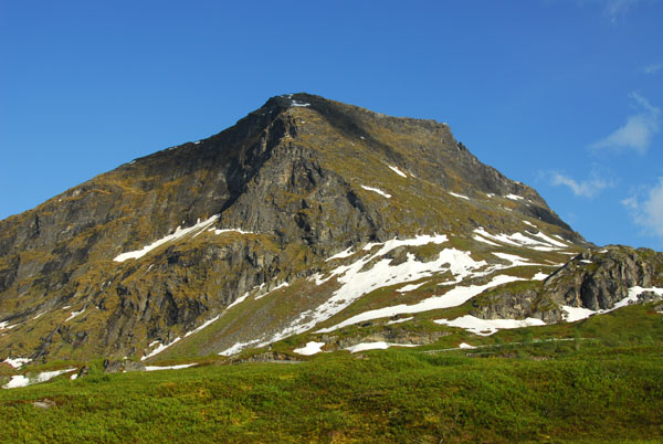
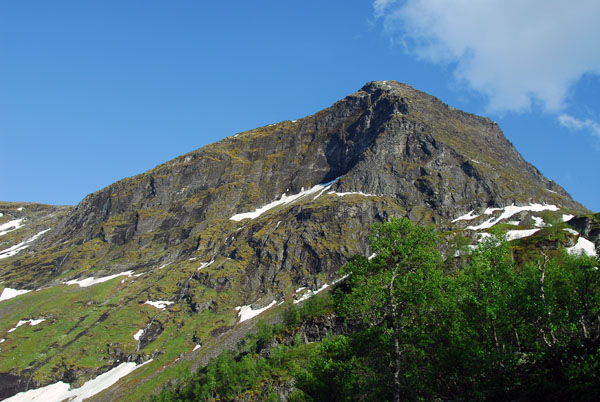
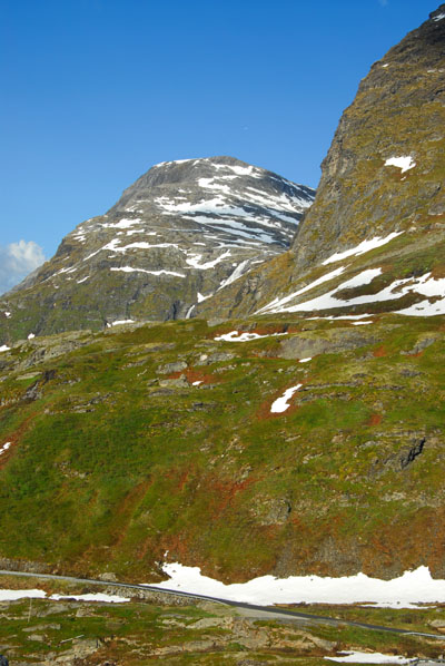 Vinsĺshornet 1343m |
 Side view of Grindalsnibba (left), Vinsĺshornet 1343m (right) |
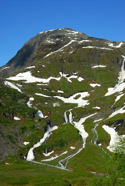
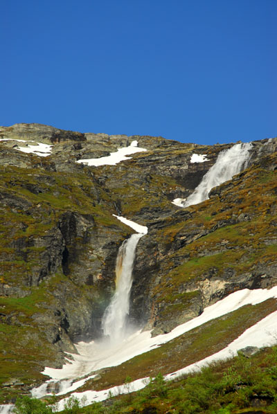
 Vinsĺshornet 1343m with waterfall |
 Vinsĺshornet 1343m |
 Waterfall on the saddle between Vinsĺshornet and Dalsnibba |
 Vinsĺshornet with snowfield |
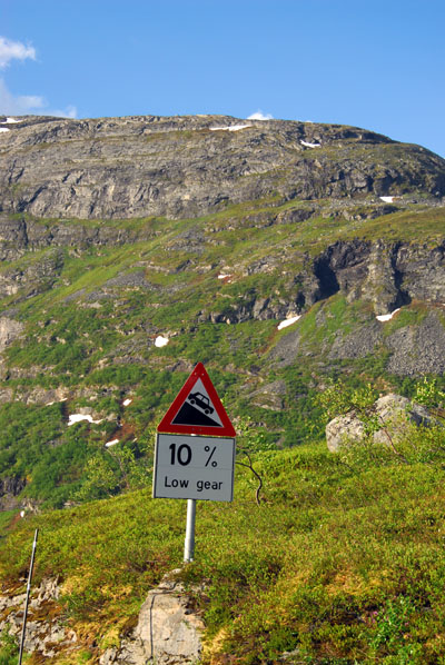 10% gradient, Rte 63 from Djupvasshytta |
 The 17 km road from Djupvasshytta to Geiranger loses 1000m within 7 km as the crow flies |
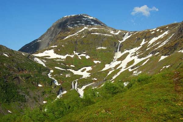 Vinsĺshornet 1343m |
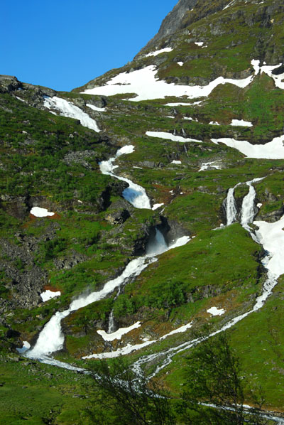
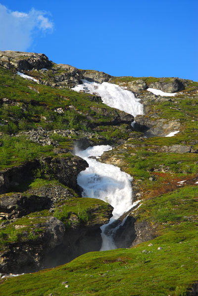
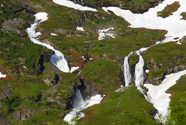 Numerous waterfalls on the side of Vinsĺshornet descending towards Geiranger |
 Dalsnibba seen from the road to Geiranger |
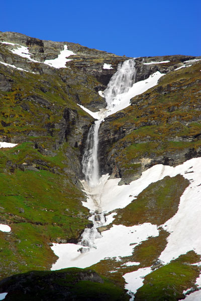
 Waterfall in the saddle between Numerous waterfalls on the side of Vinsĺshornet and Grindalsnibba |
 Vinsĺshornet |
 Dalsnibba |
 Waterfalls above Geiranger |
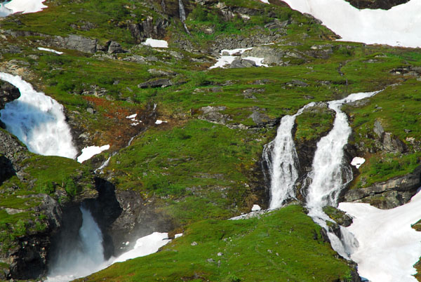 Numerous waterfalls on the side of Vinsĺshornet |
 Cascades deeply eroding the mountainside |
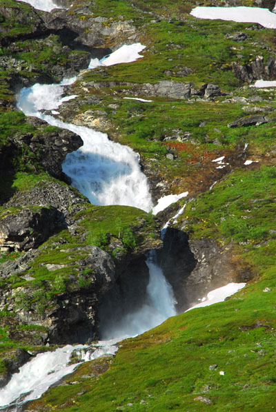
 River headed towards Geiranger |
 Waterfalls |
 Waterfalls |
 Waterfalls |
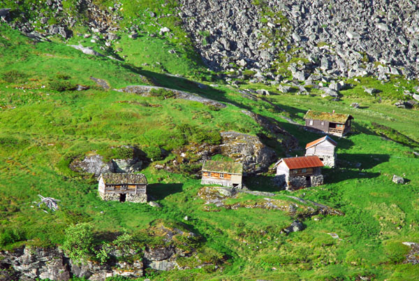 Mountain huts high above Geiranger |
 Mountain huts high above Geiranger |
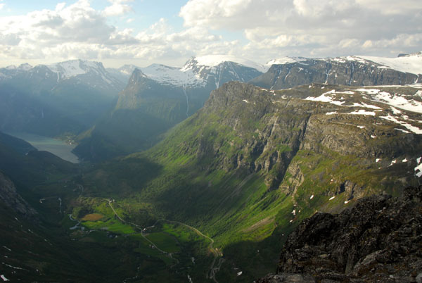
 The landscape gets greener |
 Dalsnibba |
 Dalsnibba rising above the sheltered valley floor |
 Farmland above Geiranger |
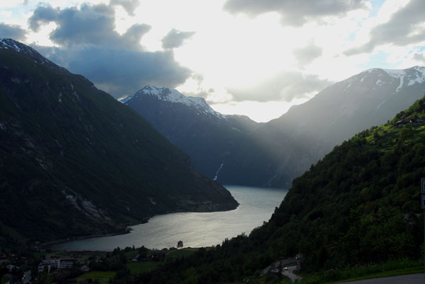
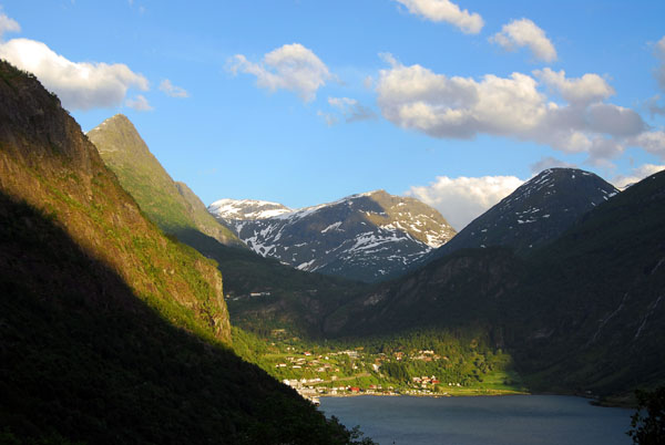
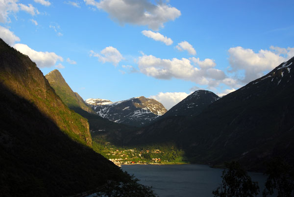
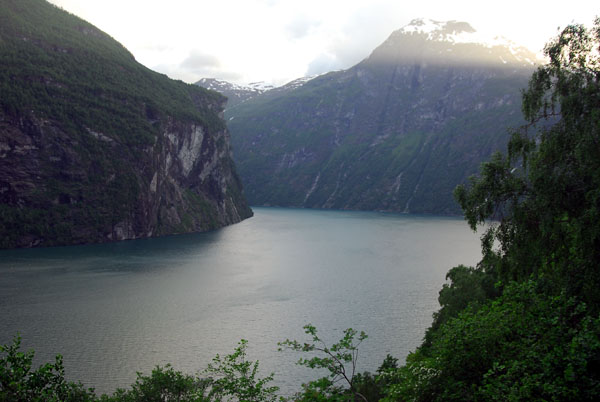
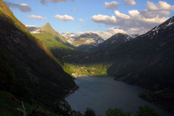
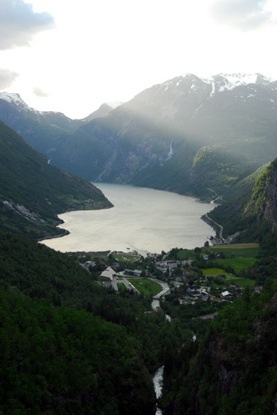 Geirangerfjord |
 Geirangerfjord |
 Geirangerfjord seen late from the east descending Rte 63 |
 Switchbacks of Řrneveien (Eagle's Road) with a waterfall, Geirangerfjord |
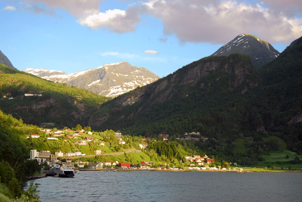
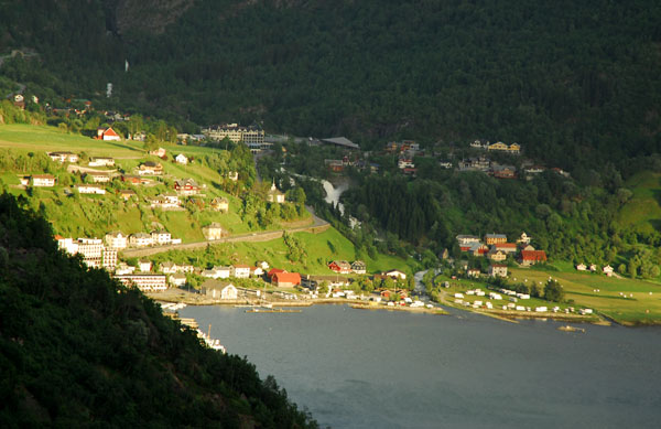
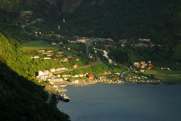
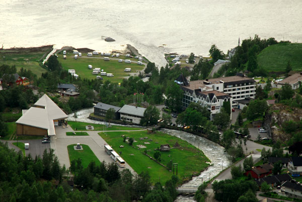 Town of Geiranger |
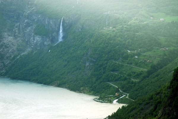
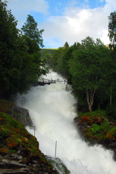 Waterfall tumbling into the center of Geiranger |
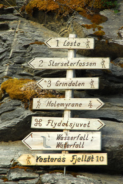 Hiking destinations, Geiranger |
 Gerainger looking back towards Dalsnibba |
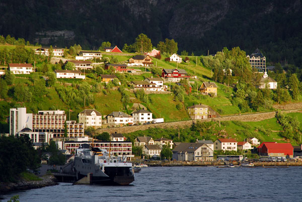 Car ferry terminal and lower town of Gerainger |
 View of Geiranger driving up Řrneveien |
 View of Geiranger driving up Eagle's Road, a switchback road built in 1954 |
 Geirangerfjord from Řrneveien |
 A ray of evening light on the small town of Geiranger |
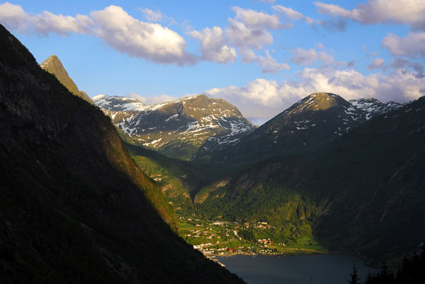 Dalsnibba is the mountain in the center of the frame |
 Geirangerfjord |
 "Downtown" Geiranger from Eagle's Road |
 Geirangerfjord from Adlerstrasse |
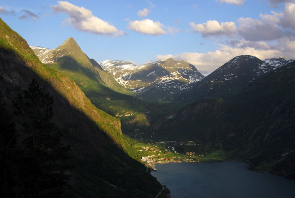
 Vinsĺshornet (left) |
 Geraingerfjord from the top of the Eagle's Road |
| comment | share |