


|
|
|
|
|
|
| Brian McMorrow | profile | all galleries >> Subsaharan Africa >> Botswana >> Botswana Flying Safari 2010 | tree view | thumbnails | slideshow |
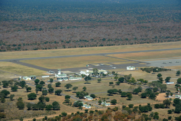
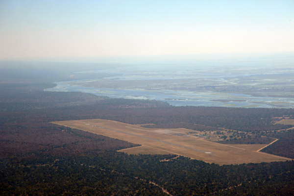 Aerial view of Kasane Airport, Botswana, from the southeast |
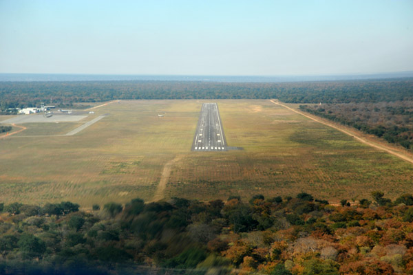 Approach to runway 8 at Kasane, Botswana (FBKE) |
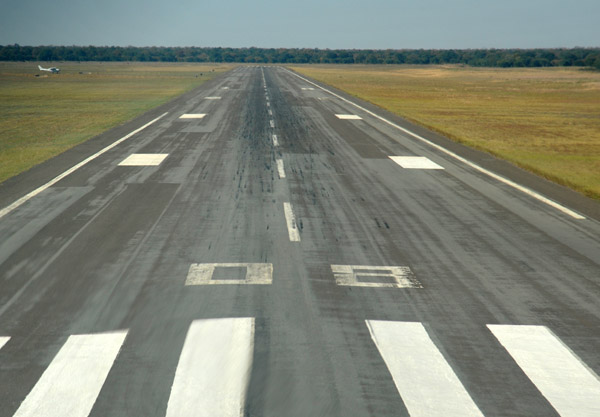 Landing Runway 8, Kasane |
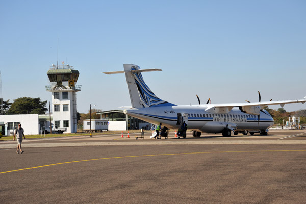 Air Botswana ATR (A2-ABS) at Kasane Airport |
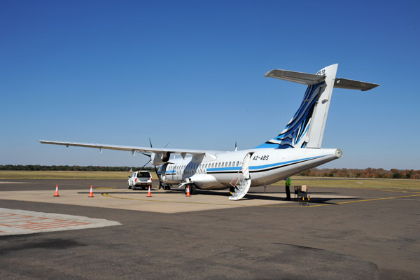 Air Botswana ATR (A2-ABS) at Kasane Airport |
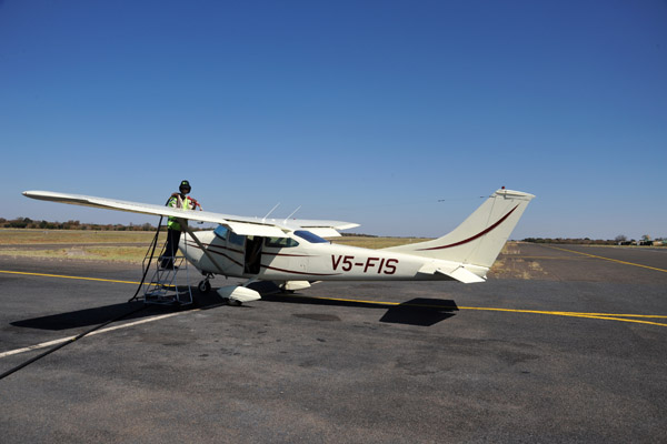
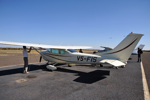 Tying down V5-FIS at Kasane |
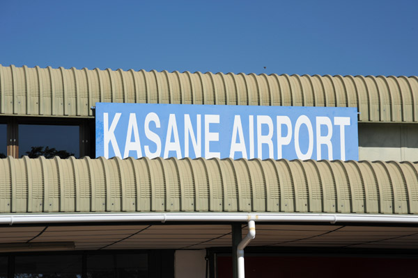 Kasane Airport, Botswana |
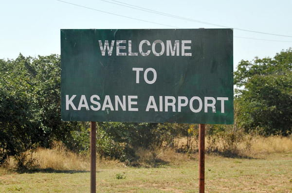 Welcome to Kasane Airport |
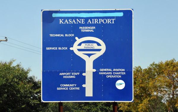 Kasane Airport, Botswana |
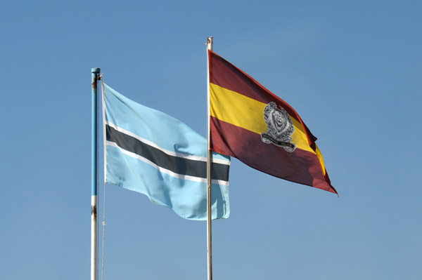 Flag of Botswana, Kasane Airport |
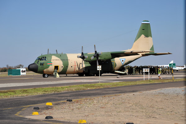 Botswana Defence Force C-130 Hercules at Kasane Airport |
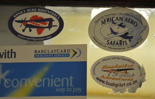 Self-fly safari companies: Hank's Aero Adventures, African Aero Safaris, Bushpilot Adventures |
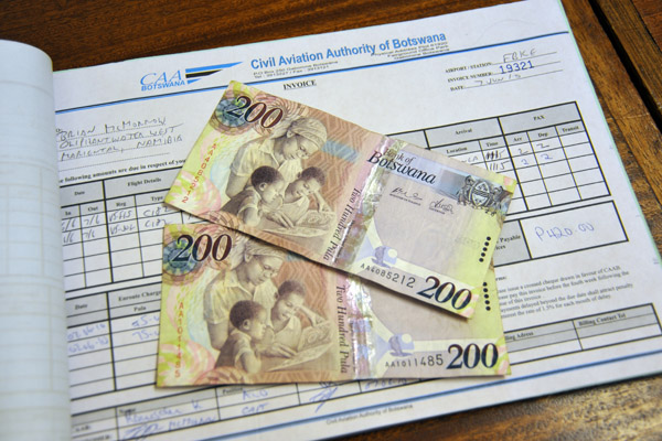 Landing fee invoice with Botswana pula notes, Kasane |
 Refueling V5-FIS at Kasane for the flight to Seronga on the northern Okavango River |
 Aerial view of the ramp at Kasane Airport from the north |
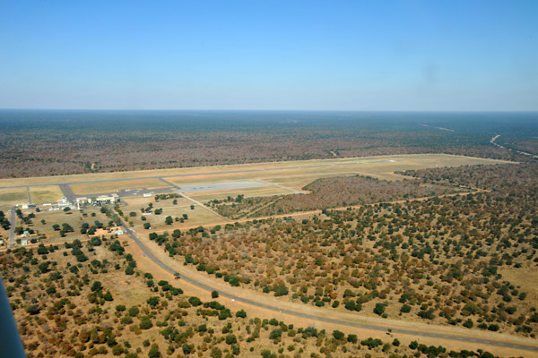 Kasane Airport from the north |
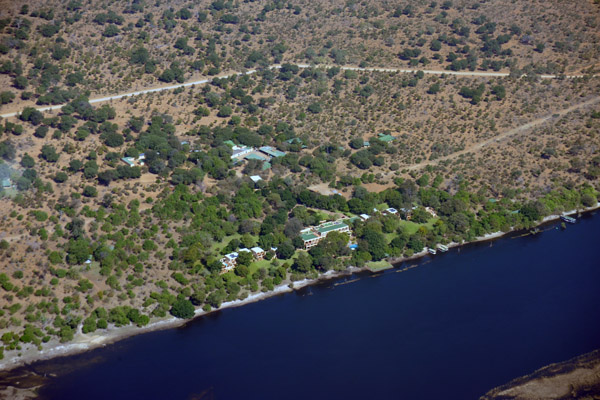
 Chobe River and the Chobe Safari Lodge, aerial |
 Sanctuary Chobe Chilwero Lodge, Chobe National Park |
 Ruins of a former ranger station at the old riverside entrance to Chobe National Park |
 Chobe Riverfront, Chobe National Park |
 Aerial view of the Chobe Game Lodge, Serondela, Chobe National Park |
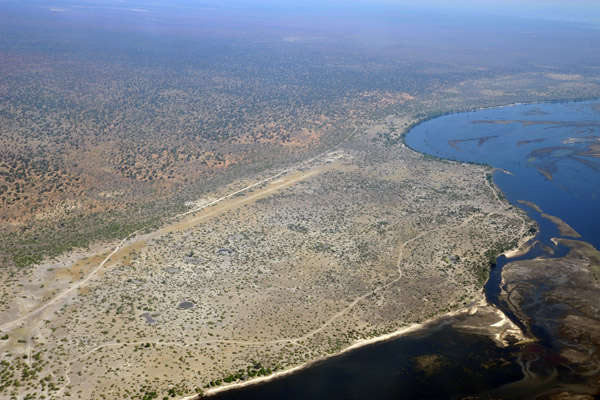 Airstrip near the Chobe Game Lodge (S17 50/E025 03) |
 Chobe River at the Chobe Game Lodge airstrip |
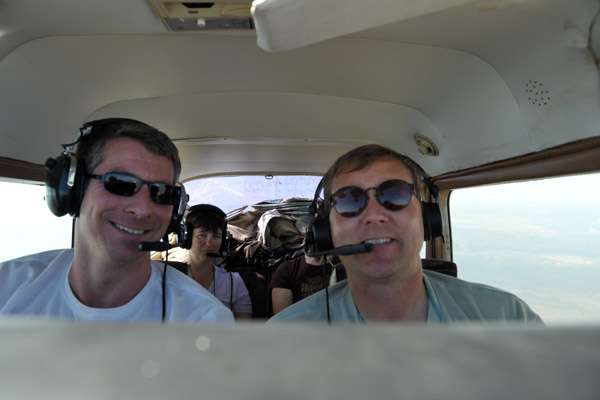
 So exciting, this flight.... |
 Chobe River, Chobe National Park, from the Namibia side |
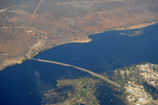 Ngoma Bridge linking Namibia and Botswana across the Chobe River |
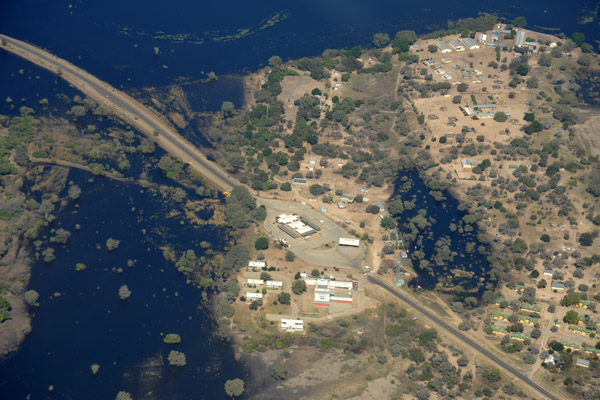 Namibian side of the Ngoma Bridge, Chobe River |
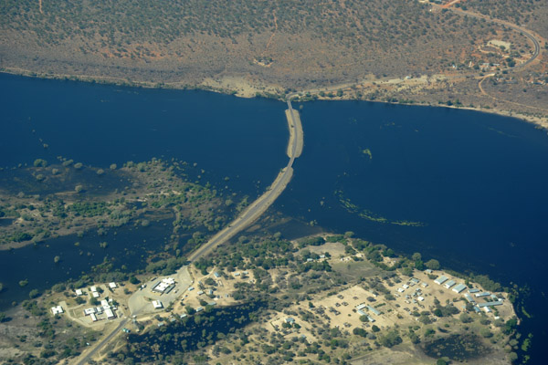 Namibian side of the Ngoma Bridge, Chobe River |
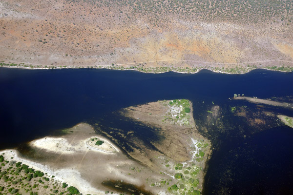
 Chobe River, Chobe National Park, Botswana |
 Chobe River with very high water level, June 2010 |
 Chobe River, Chobe National Park, Botswana |
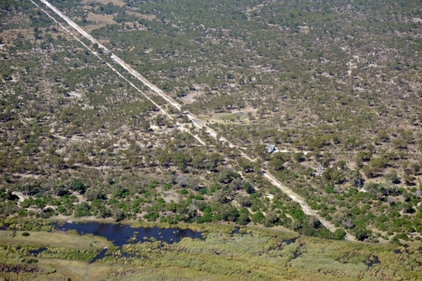
 The road to Kachikau, Botswana |
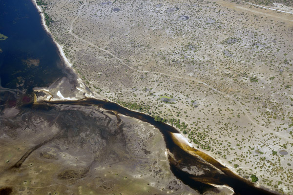
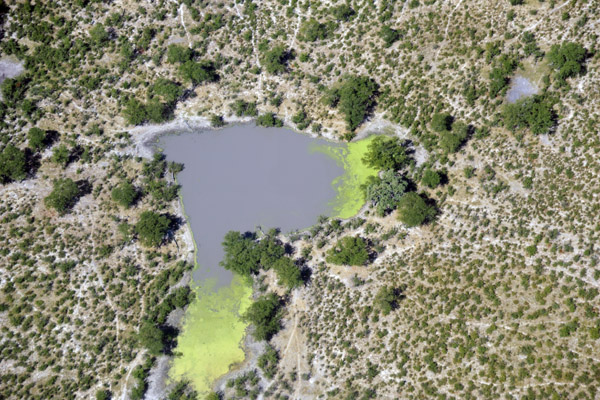
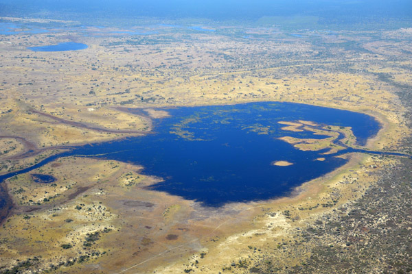 Water-filled pan 6 km NNW of Kataba (S18 07 / E24 24), Chobe National Park |
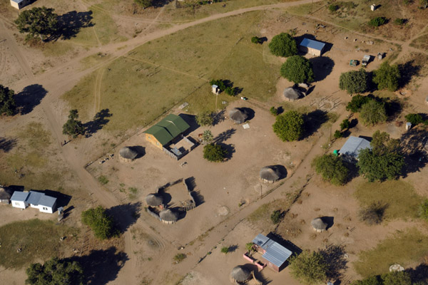
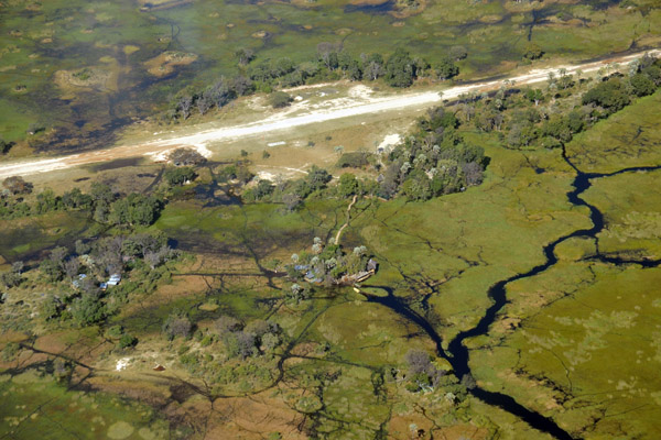
 Camp that I was unable to spot on Google Earth (Jul 2010) but it's near Parakarungu, Botswana |
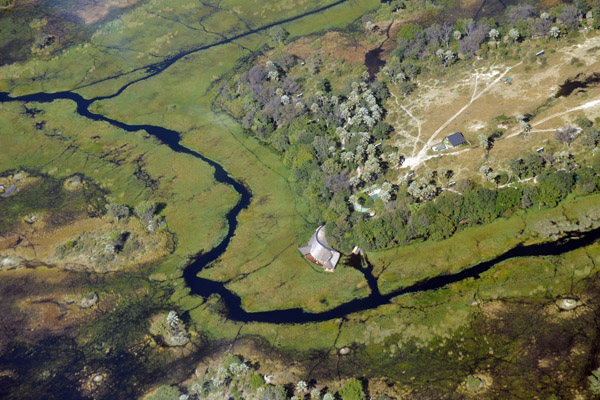
 Anyone know this camp? It's half way between the Ngoma Bridge and Linyanti Gate, Chobe |
 Wetlands near the Linyanti Gate, Chobe |
 Just east of the Linyanti Gate, Botswana |
 Linyanti Gate, Chobe National Park |
 Linyanti Swamps, Mamili National Park, Namibia |
 Linyanti Swamps, Mamili National Park, Namibia |
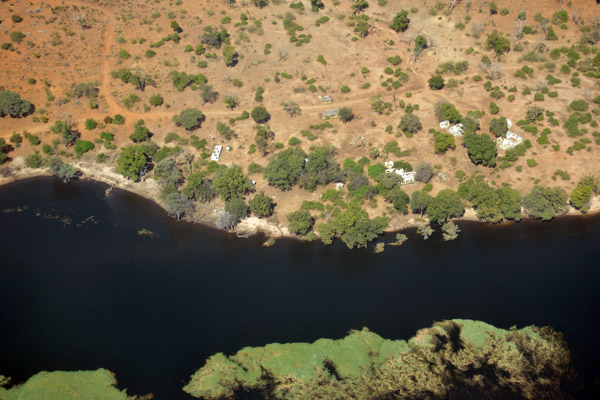
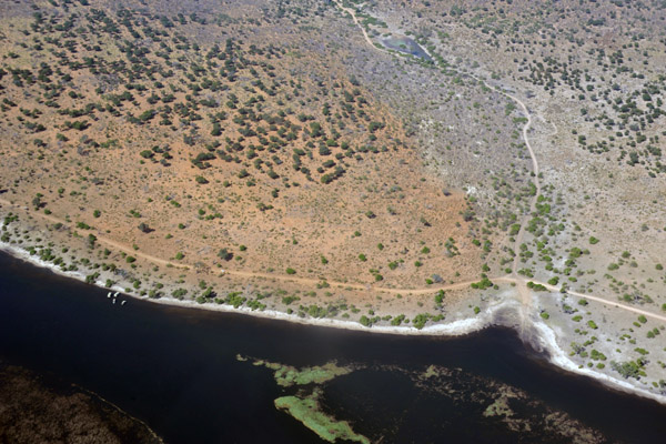
 Kwando River, Namibia-Botswana |
 Kwando Area, Botswana |
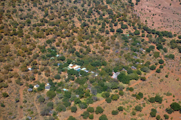
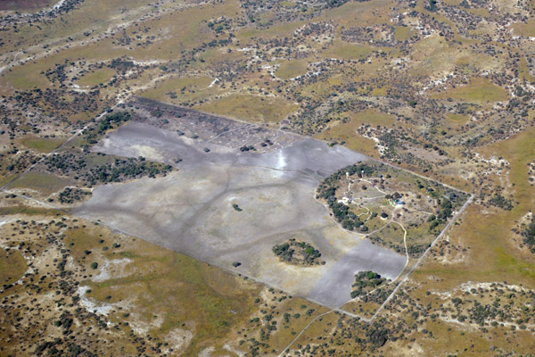
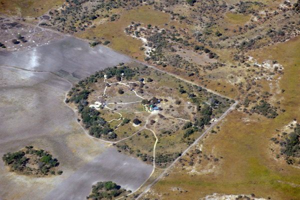
 Kwando Lebala Camp, Botswana (S18 24.85/E023 32.55) |
 New (post-2002) Kwando Lebala Camp Airstrip, Botswana |
 New Lebala Camp Airstrip not yet on Google Earth (Jul 2010), Botswana |
 New Lebala Camp Airstrip (S18 26/E23 32), Botswana |
 Waterhole, Linyanti-Kwando Area, Botswana |
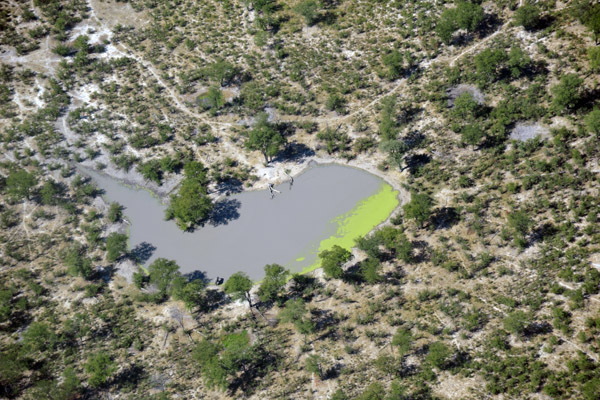 Waterhole with an elephant, Linyanti-Kwando Area, Botswana |
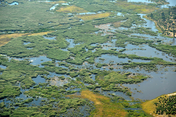
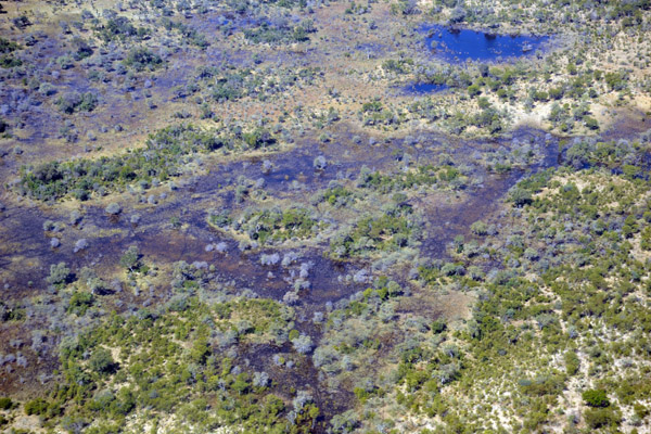
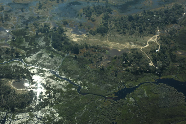
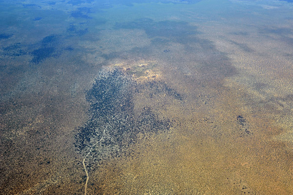
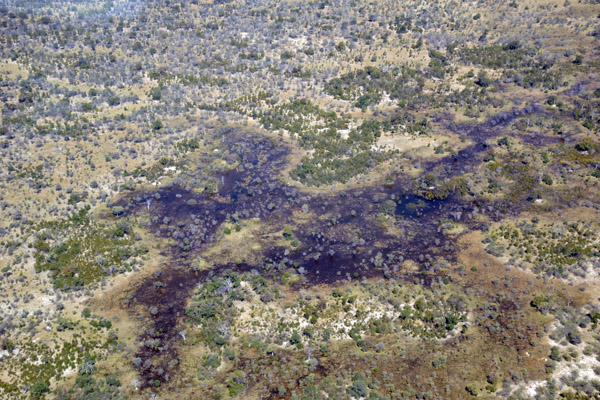 Flooded area between the Kwando and Okavango Rivers, Botswana |
 Flooded area between the Kwando and Okavango Rivers, Botswana |
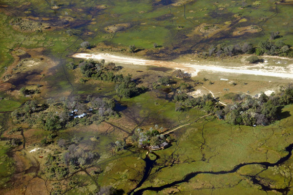
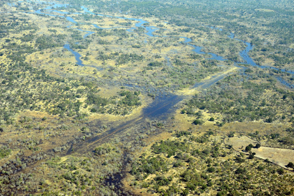 Flooded airstrip at Gudigwa, Botswana |
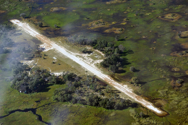
 Gudigwa Airstrip (S18 37/E22 55) |
 Gundingwa, Botswana |
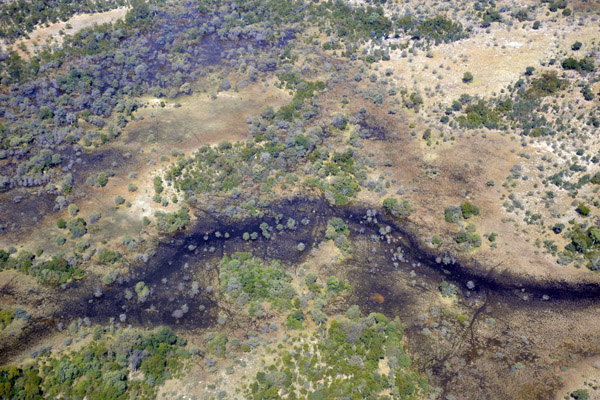
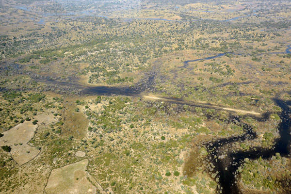
 Flooded area between the Kwando and Okavango Rivers, Botswana |
 Flooded area between the Kwando and Okavango Rivers, Botswana |
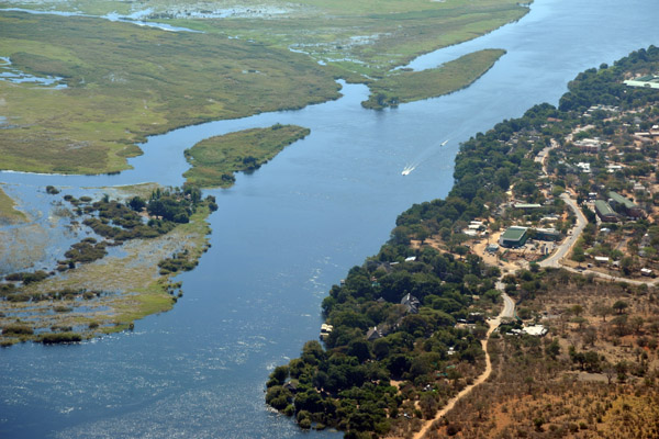
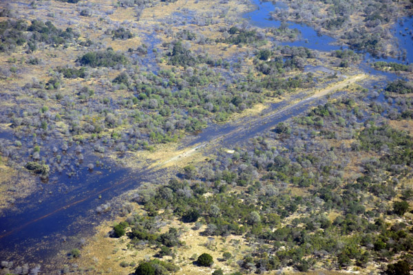
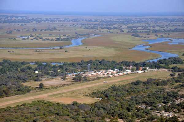
 Nearing Seronga, Botswana |
 Northern Okavango Delta, Seronga, Botswana |
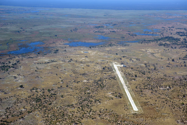
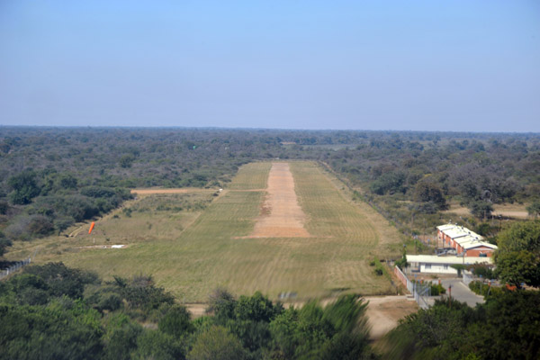
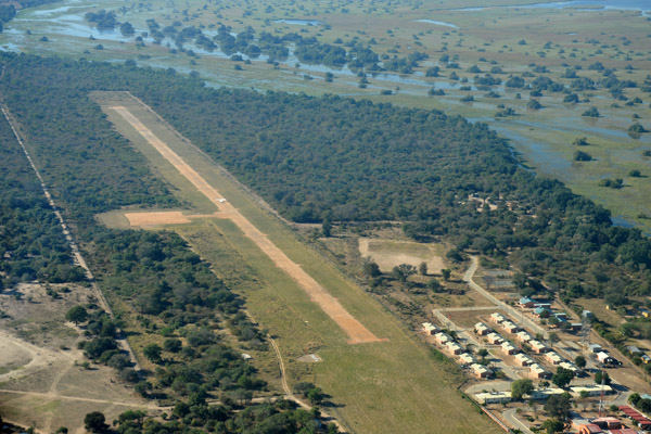
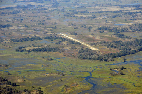
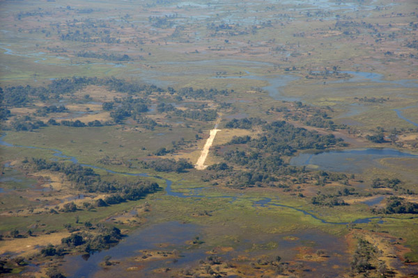
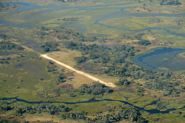
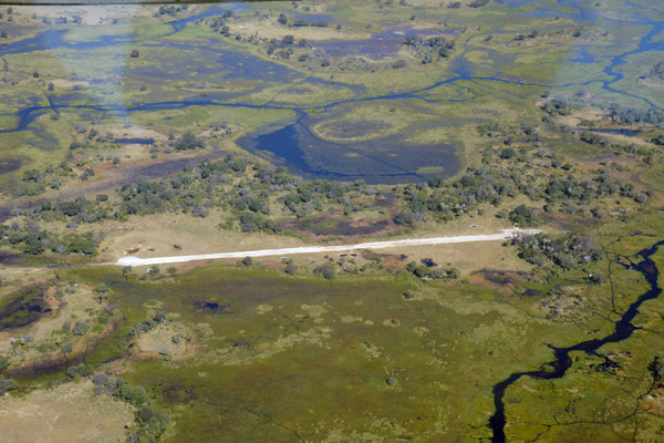
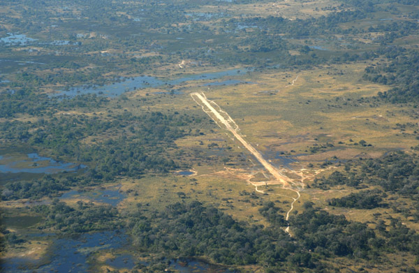
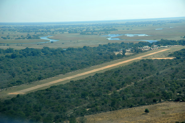 Seronga Airstrip, Botswana |
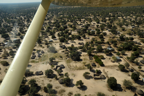 Rondavels of the small town of Seronga, Botswana |
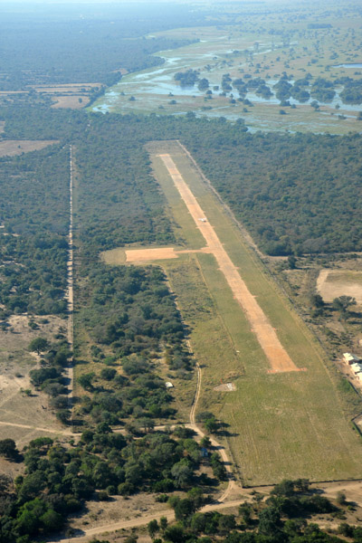
 Seronga Airstrip, Botswana |
 Final approach to Runway 12 at Seronga, Botswana |
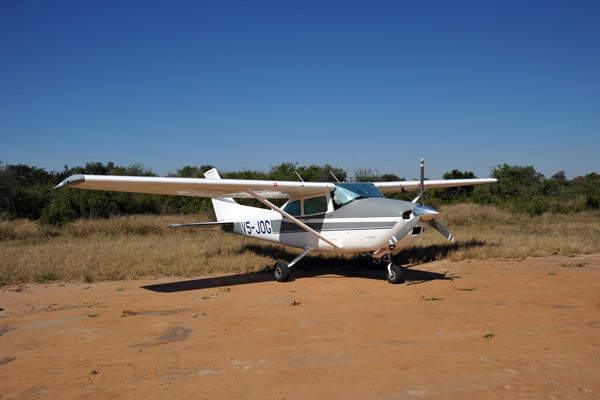 V5-JOG at Seronga |
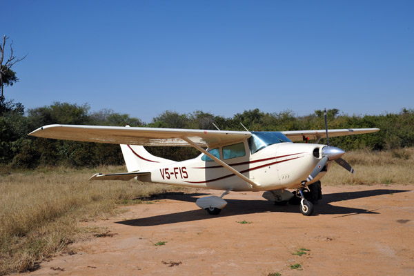 V5-FIS at Seronga |
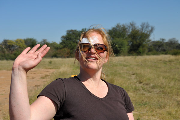 Wave from Stephanie |
 Departing Seronga - view of the airstrip from the northeast |
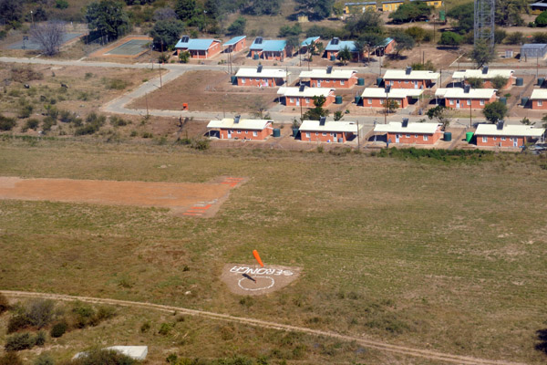
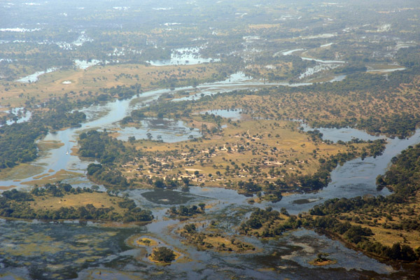
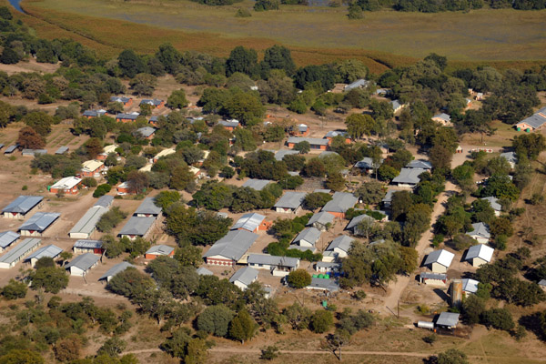 Seronga, Botswana |
 Seronga, Botswana |
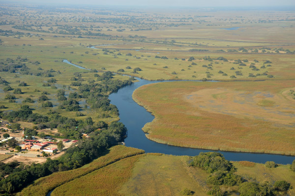 Okavango River, Seronga |
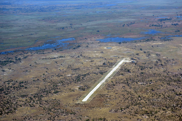
 Seronga Airstrip, Botswana |
 Seronga Airstrip, Botswana |
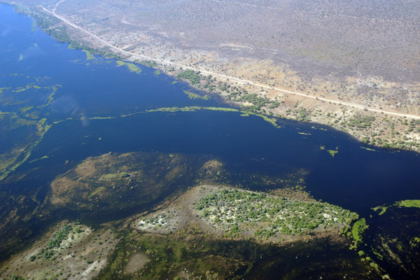
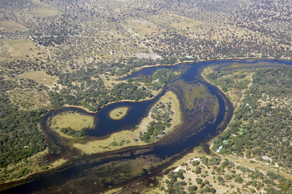
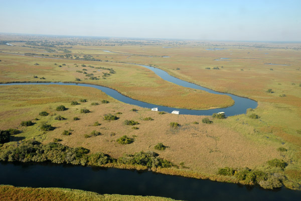 Big bend in the Okavango River at Seronga, Botswana |
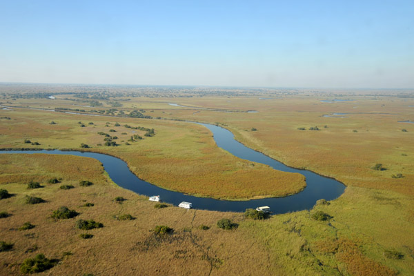 Big bend in the Okavango River at Seronga, Botswana |
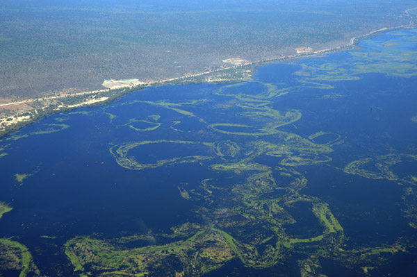
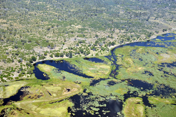
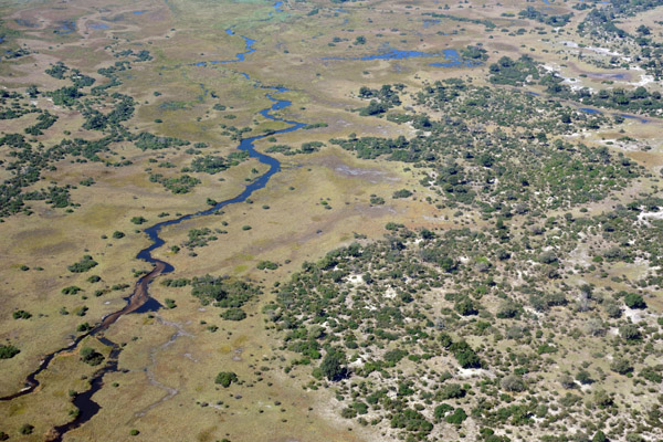
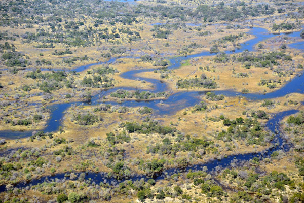
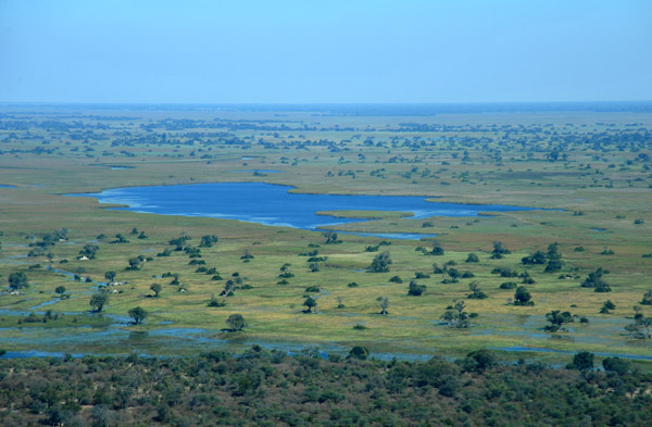
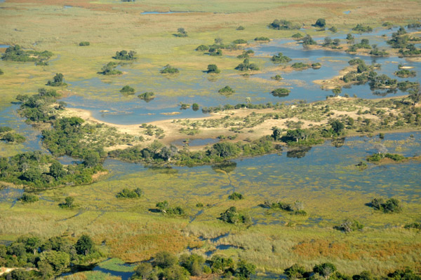
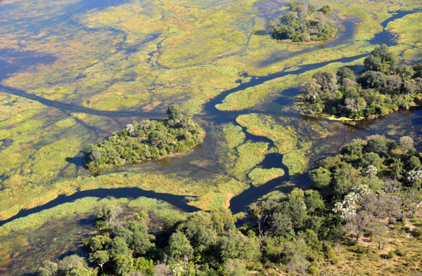
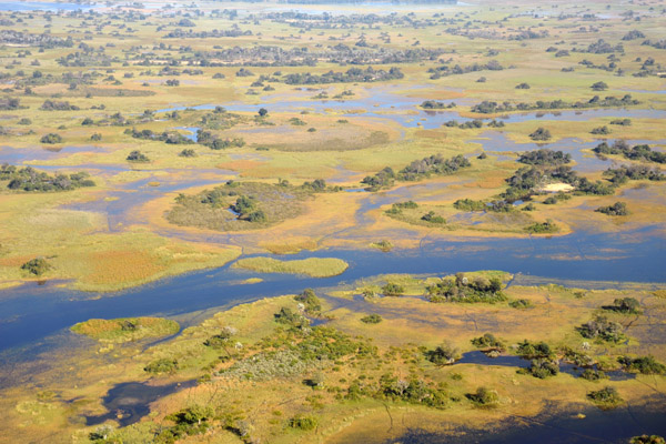
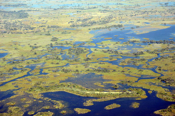
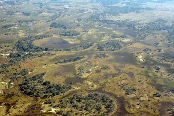
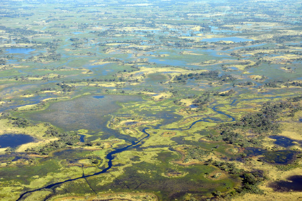
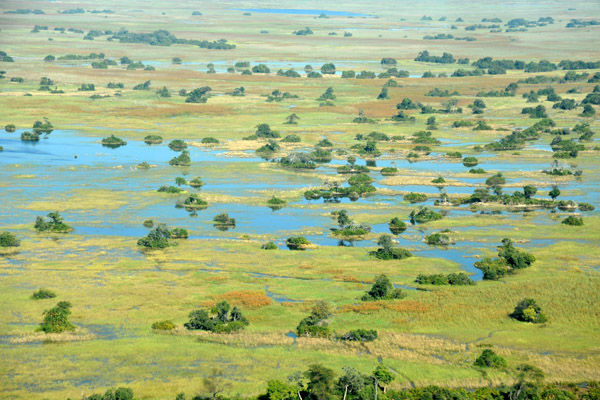 Northern Okavango Delta, Botswana |
 Northern Okavango Delta, Botswana |
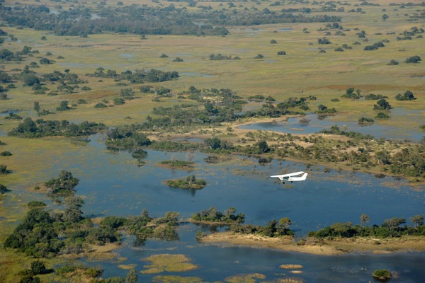
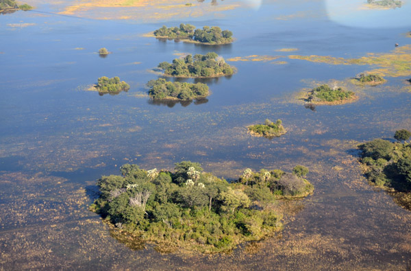
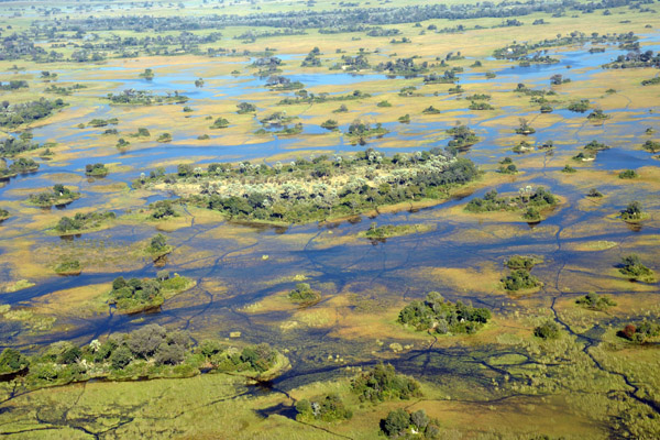
 Higher ground with trees become islands when the Okavango floods each year |
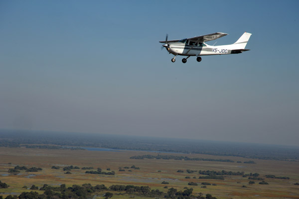
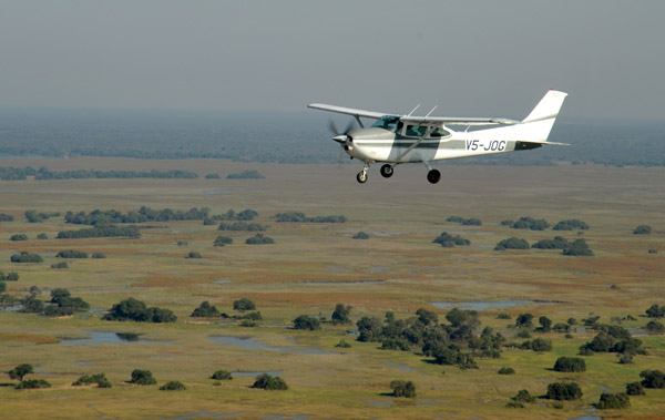 V5-JOG over the Okavango Delta, Botswana |
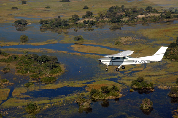
 V5-JOG over the Okavango Delta, Botswana |
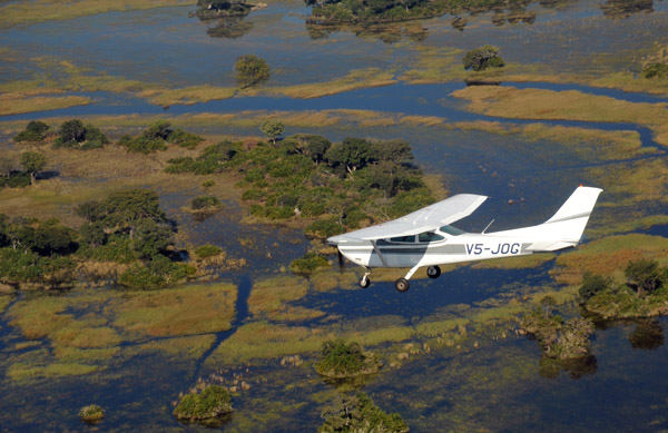
 V5-JOG over the Okavango Delta, Botswana |
 V5-JOG over the Okavango Delta, Botswana |
 V5-JOG over the Okavango Delta, Botswana |
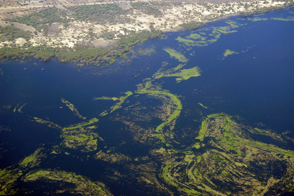
 Sandy island surrounded by papyrus swamps, Northern Okavango Delta |
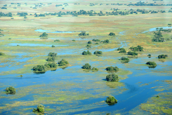
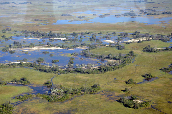
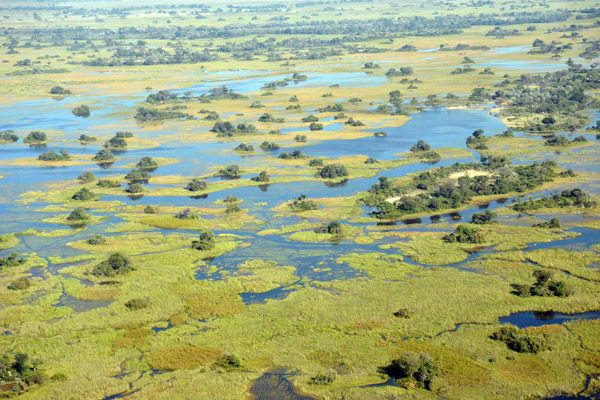
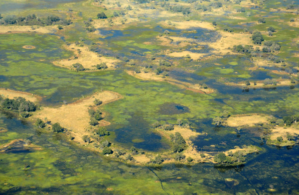
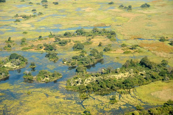 Islands formed by the flooding of the Okavango Delta |
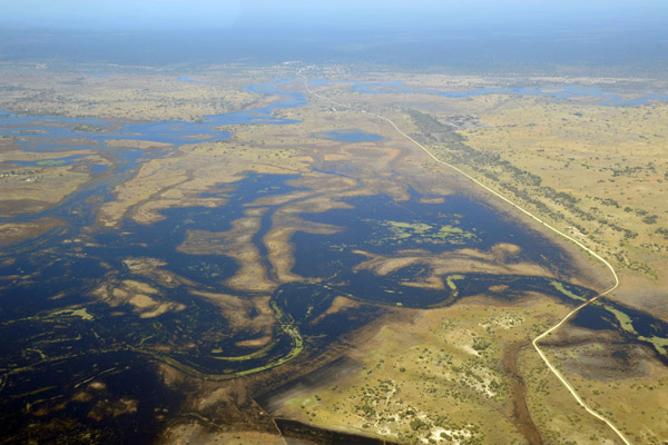
 The Okavango Delta is the world's largest inland delta |
 Rains in the Angolan highlands in January-Februrary flood the Okavango starting in March with its peak between June and August |
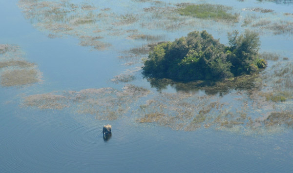 Elephant standing in the flood waters of the Okavango Delta near a small island |
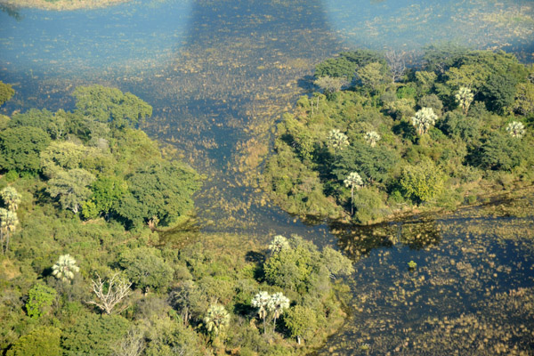 Tree-covered islands, Okavango Delta |
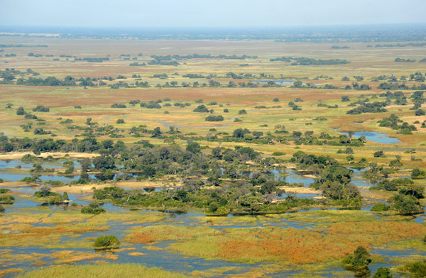
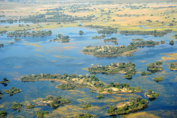
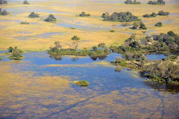
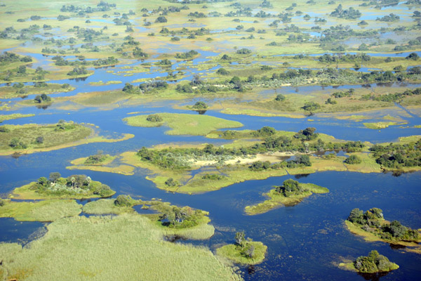
 Okavango Delta during the annual flood, Botswana |
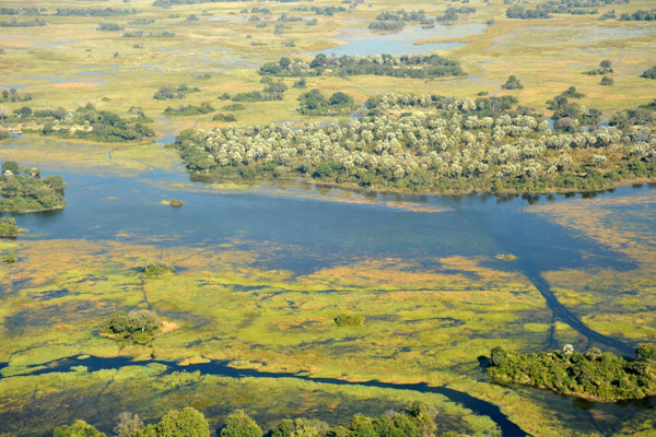 Okavango Delta during the annual flood, Botswana |
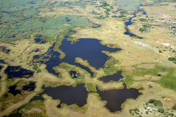
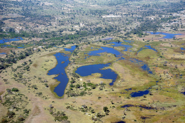
 Okavango Delta, Botswana |
 Okavango Delta, Botswana |
 Okavango Delta elephant wading between islands |
 Okavango Delta, Botswana |
 Hippo and elephant paths through the papyrus swamps of the Okavango Delta, Botswana |
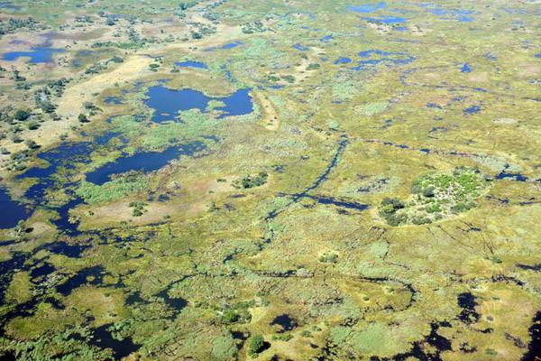
 Okavango Delta, Botswana |
 Okavango Delta, Botswana |
 Okavango Delta, Botswana |
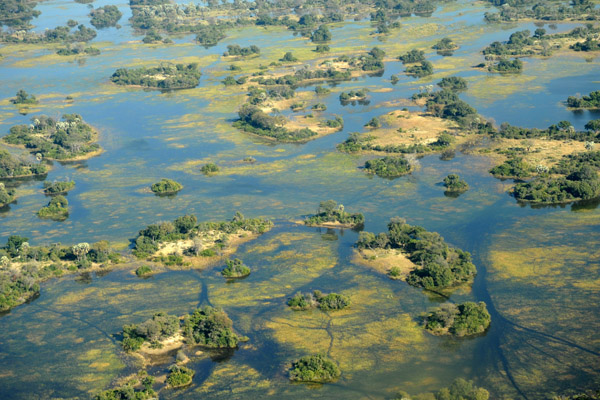
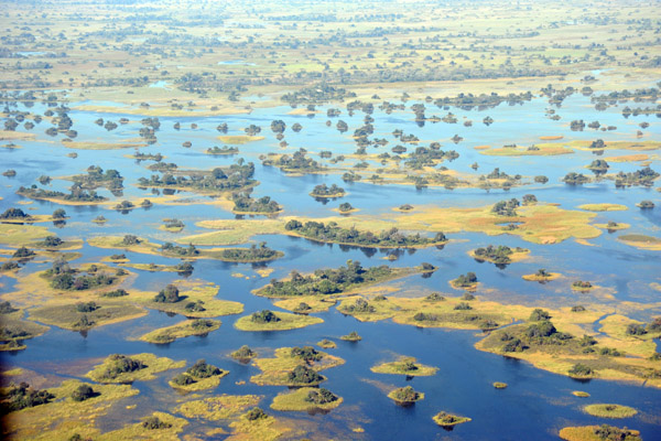 Dozend of tiny islands, Okavango Delta |
 Okavango Delta |
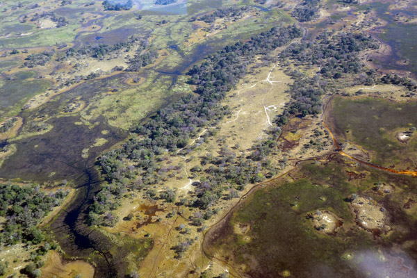
 Xaxaba Airstrip FBXB (Runway 15) - Eagle Island Camp (Orient Express) |
 Delta Camp Airstrip FBXX (Runway 14) |
 Okavango Delta near Delta Camp, Botswana |
 Delta Camp Airstrip FBXX |
 Delta Camp Airstrip FBXX (Runway 32-14) |
 Ntswi Island Airstrip - Gunn's Camp, Okavango Delta |
 Ntswi Island Airstrip - Gunn's Camp, Okavango Delta |
 Ntswi Island Airstrip - Gunn's Camp, Okavango Delta |
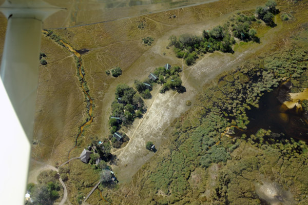
 Gunn's Bush Camp, Okavango Delta |
 Gunn's Bush Camp, Okavango Delta |
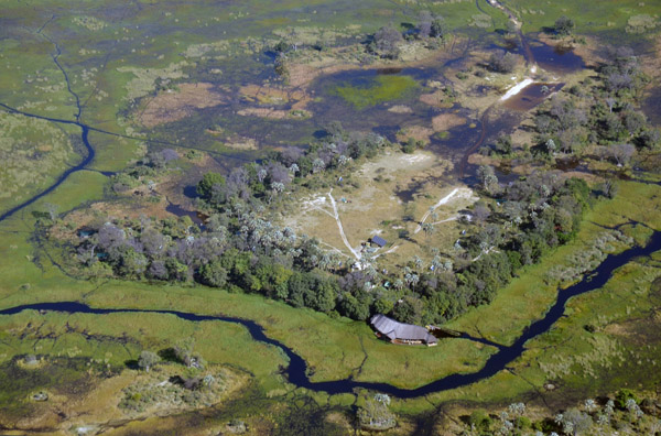 Gunn's Bush Camp, Okavango Delta |
 Moremi Game Reserve, Okavango Delta |
 Moremi Game Reserve, Okavango Delta |
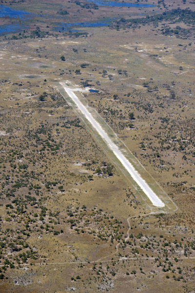
 Stanley's Airstrip, Okavango Delta |
 Southern Okavango Delta |
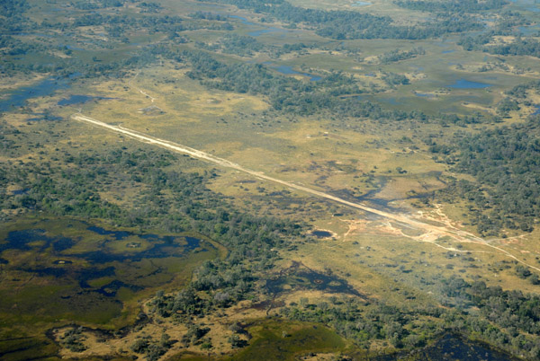 Stanley's Airstrip, Okavango Delta |
 Southern Okavango Delta |
 Southern Okavango Delta |
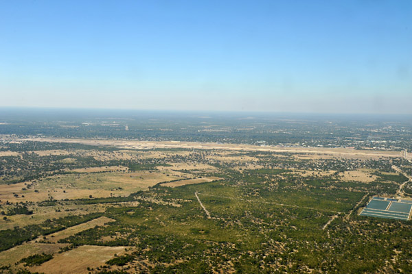 Maun, Botswana |
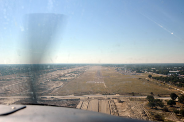
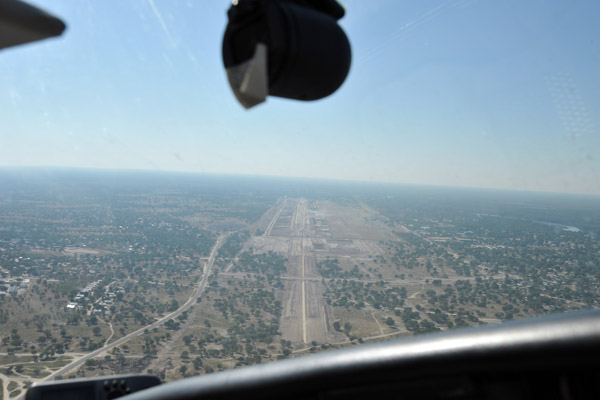 On approach to Maun Airport - looks like they might be building a parallel runway... |
 Final approach to Runway 08 at Maun |
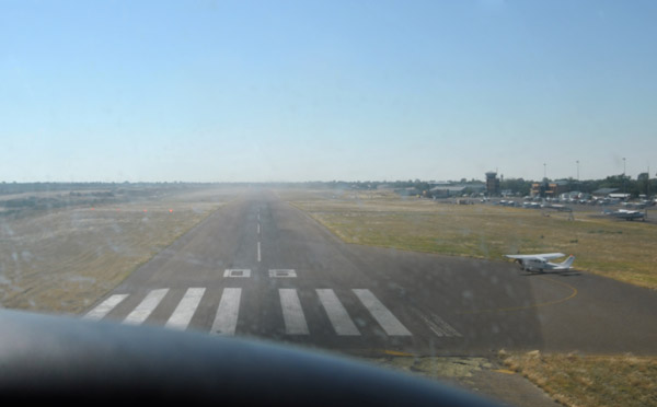 Runway 08 at Maun FBMN |
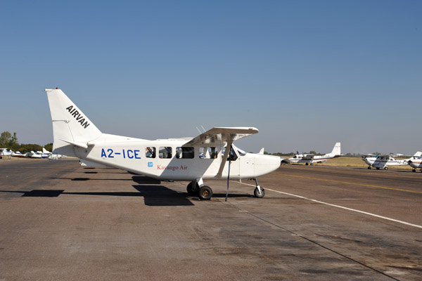 Kavango Air (A2-ICE), an Australian-built Gippsland GA8 Airvan |
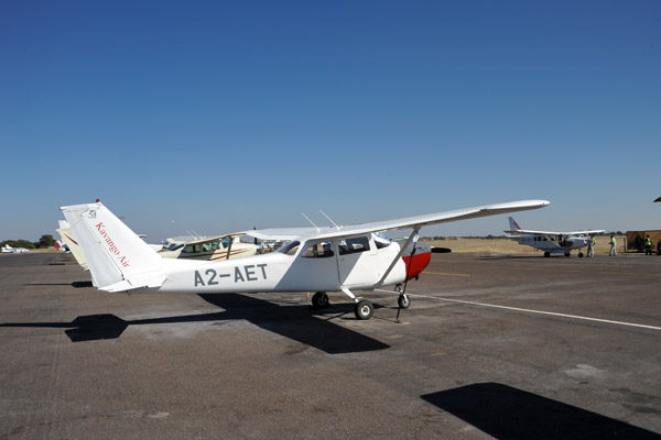 Kavango Air Cessna 172 (A2-AET) |
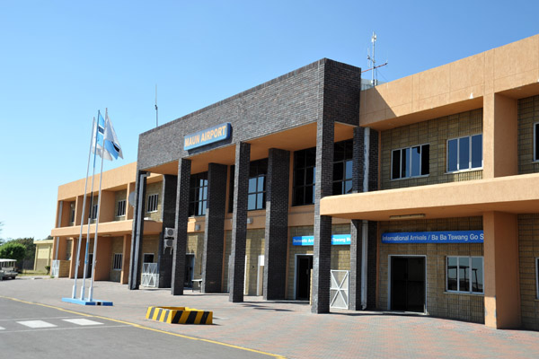 Teminal of Maun International Airport, Botswana |
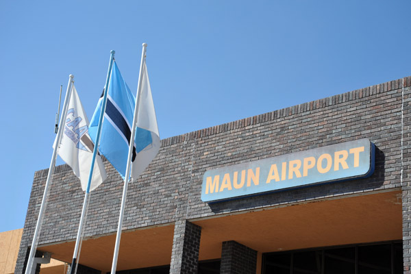 Teminal of Maun International Airport, Botswana |
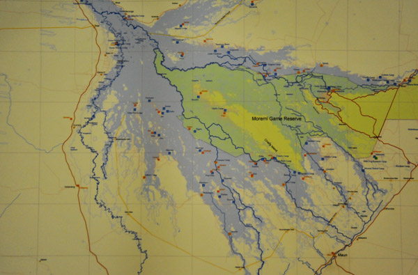 Chart of the Okavango Delta, Maun Airport briefing office |
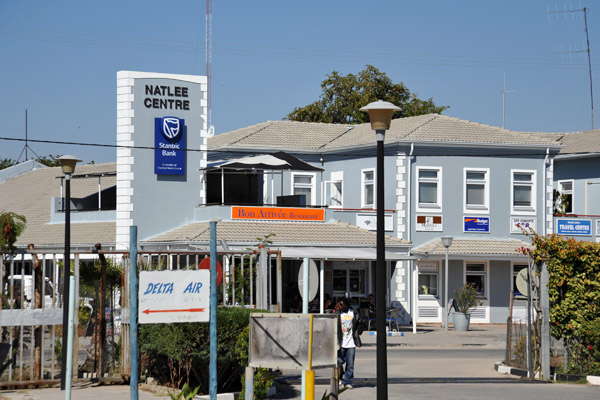 Natless Centre, Maun |
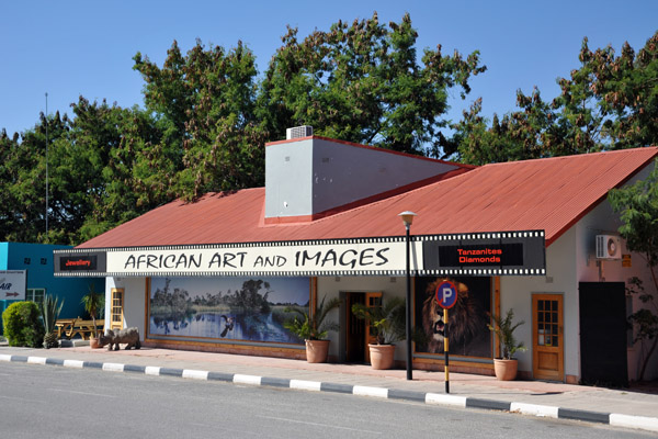 African Art and Images, Maun |
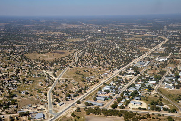 Maun, Botswana |
 Boteti River leading south from Maun |
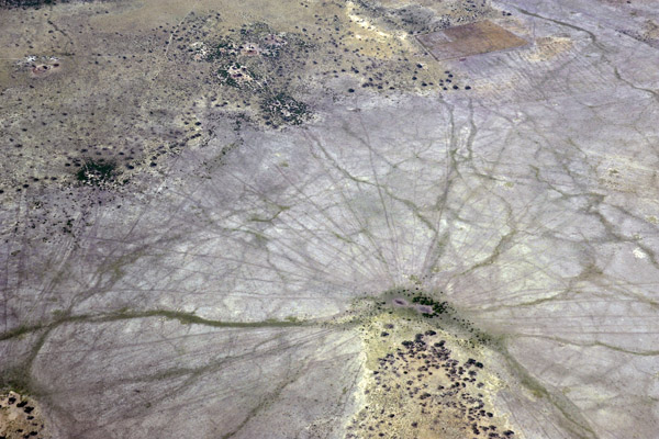 Animal tracks leading to a waterhole in the northern Kalahari, Botswana |
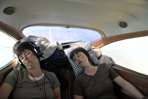
 On board V5-FIS (Look! Nicole is awake!) |
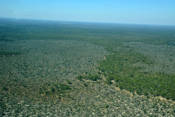
 Northern Kalahari southwest of Maun |
| comment | share |