


|
|
|
|
|
|
| Brian McMorrow | profile | all galleries >> Aviation >> Aerial Photos >> Aerials- Africa >> Aerials-West & Central Africa | tree view | thumbnails | slideshow |
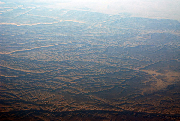
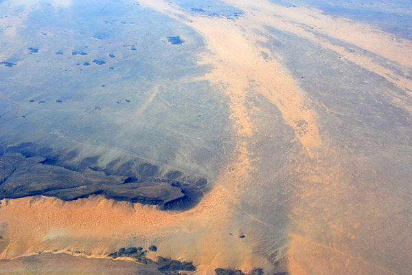
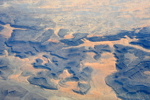
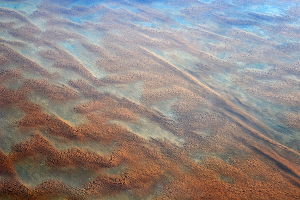
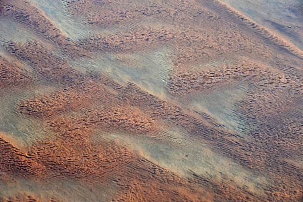
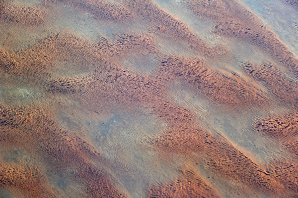
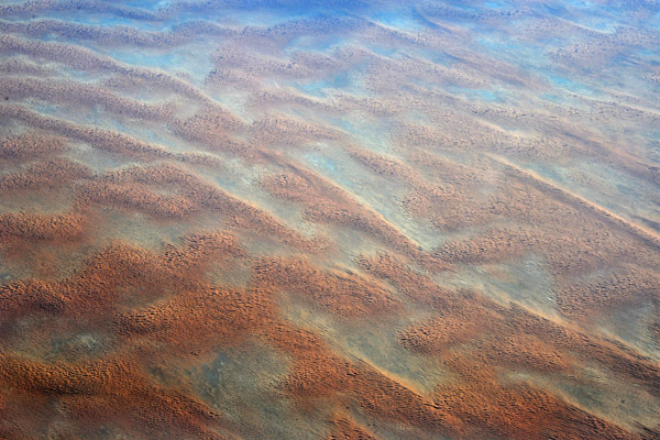
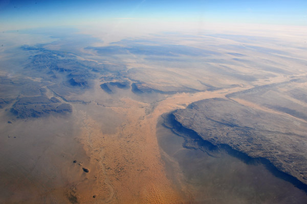
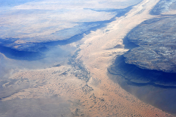
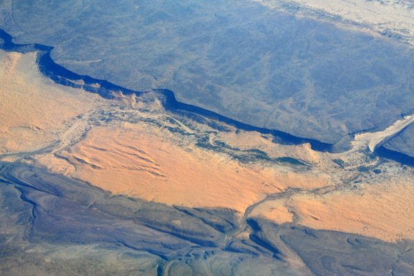
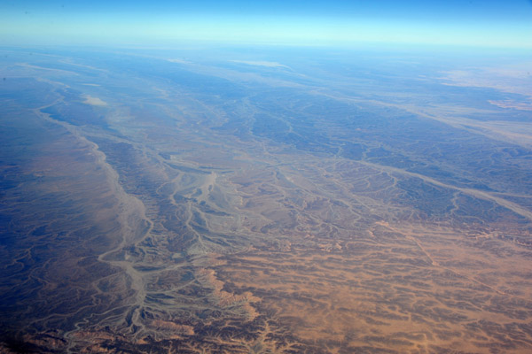
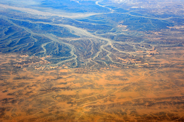
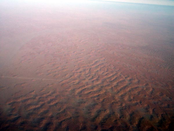 Sahara Desert, eastern Niger (Grand Erg of Bilma) |
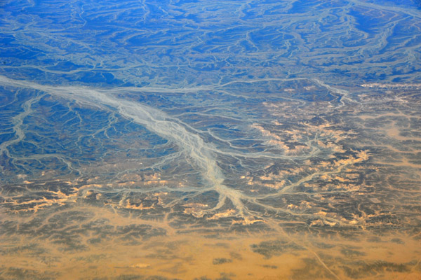
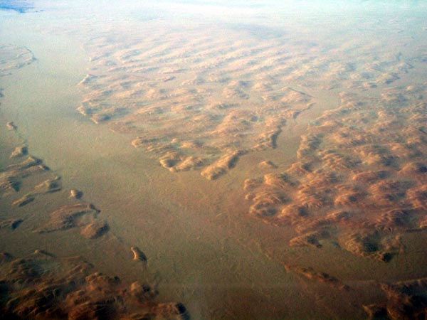 Sahara Desert, eastern Niger (Grand Erg of Bilma) |
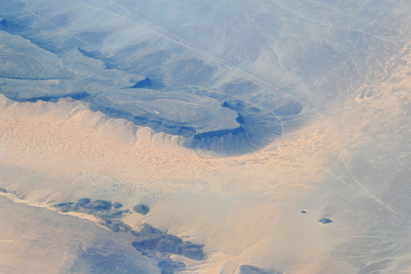
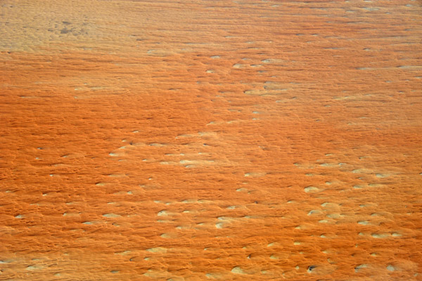
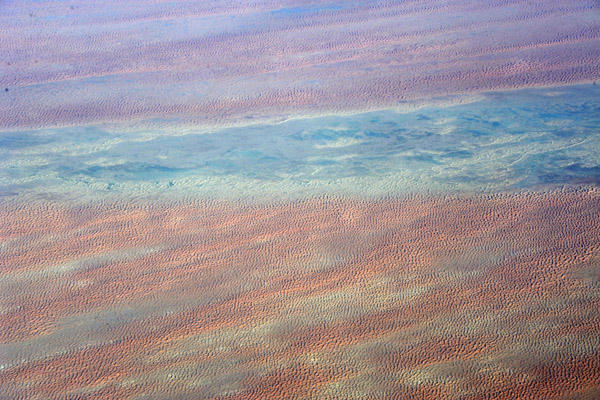
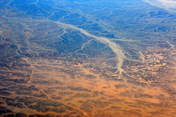
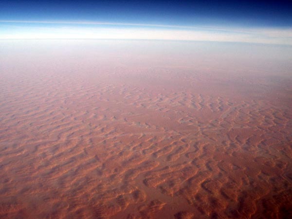 Sahara Desert, eastern Niger (Grand Erg of Bilma) |
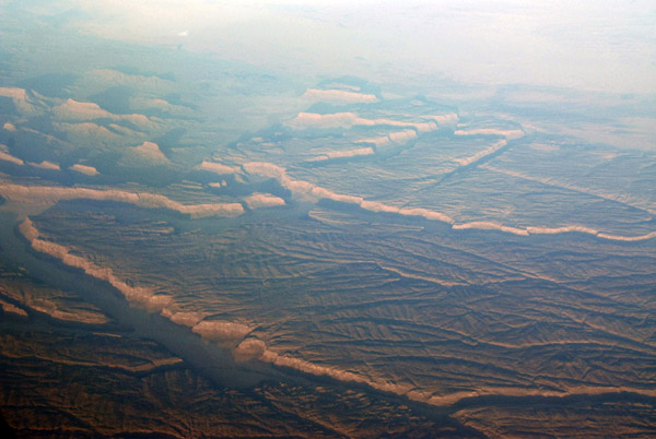
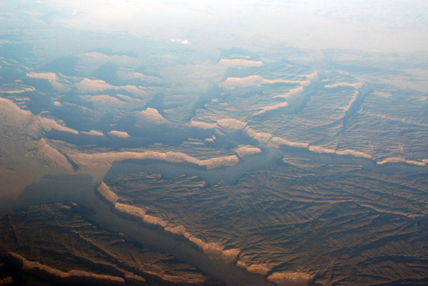
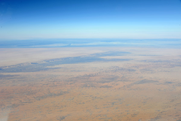
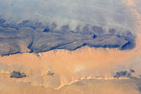
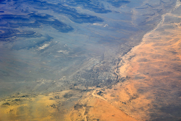
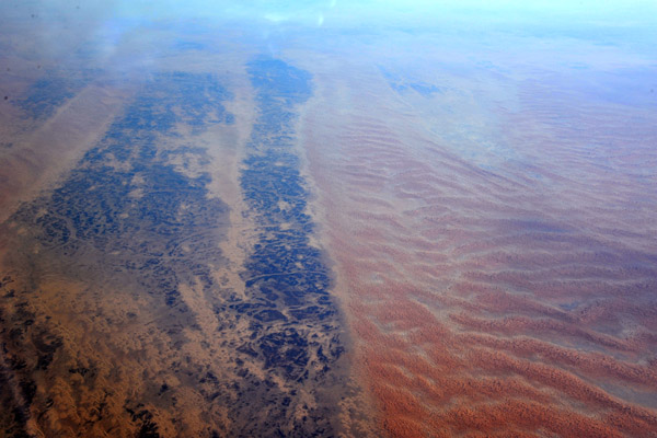
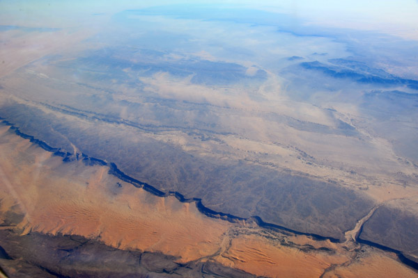
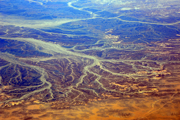
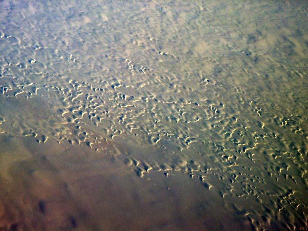 Sahara Desert, Niger/Chad border |
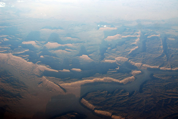
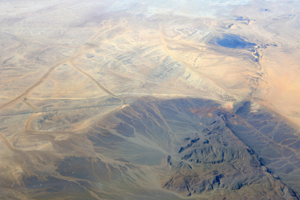
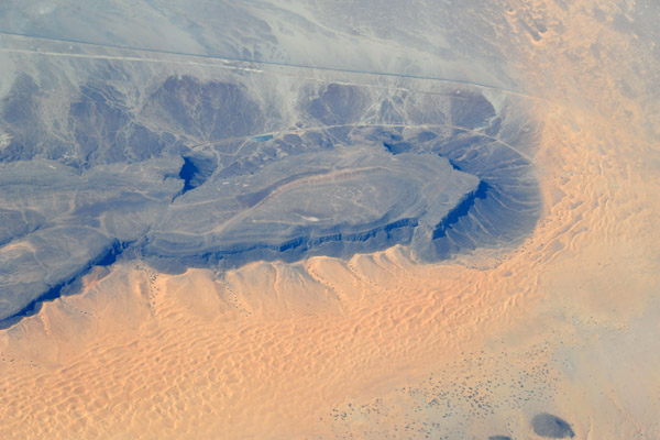
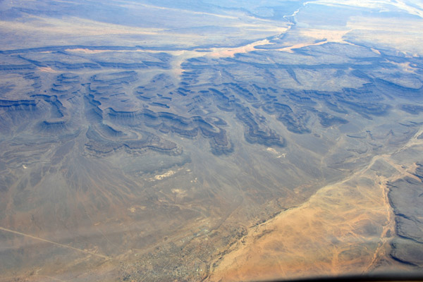
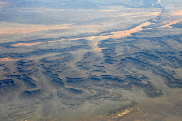
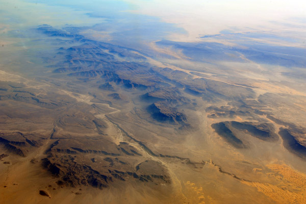
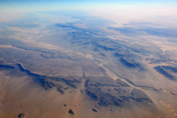
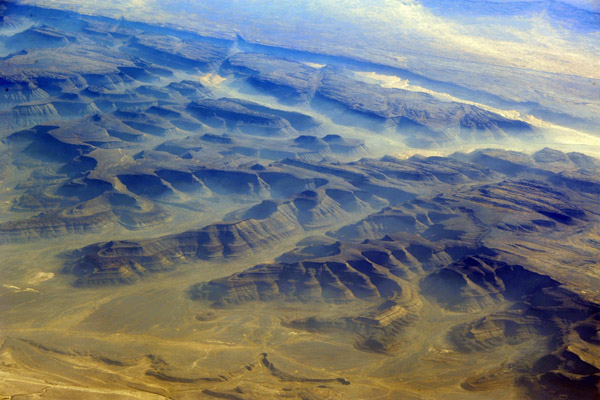
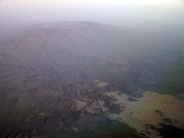 Tibesti Mountains, Chad |
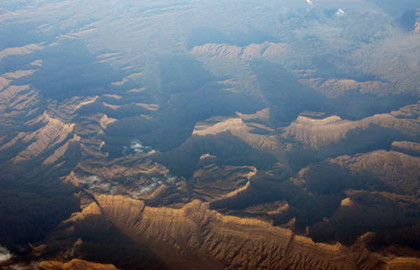
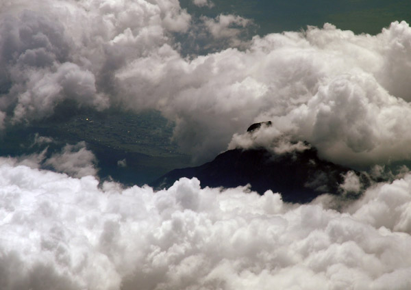
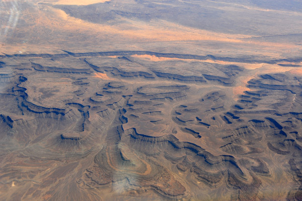
 Mantle plume, Tibesti Mountains, Chad |
 Tibesti Mountains, Chad |
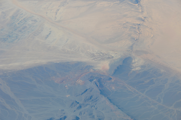
 N19 45.39/E017 41.56, Tibesti Mountains, Chad |
 Tibesti Mountains, Chad |
 Tibesti Mountains, Chad |
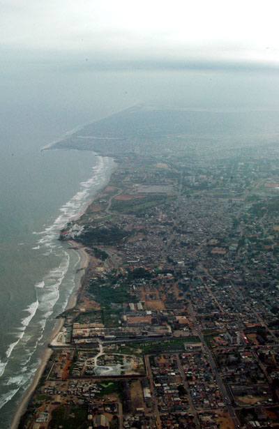
 Accra, Ghana |
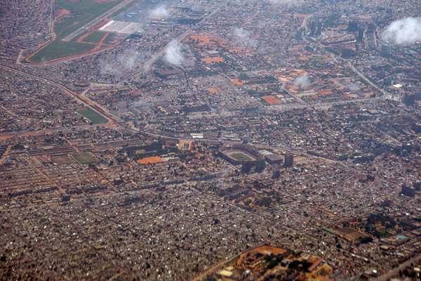
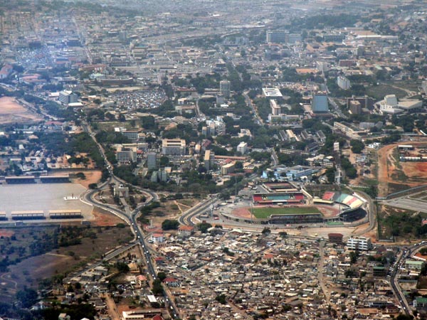 Independence Square and Stadium, Accra |
 Castle Osu and Independence Square, Accra |
 Accra, Ghana |
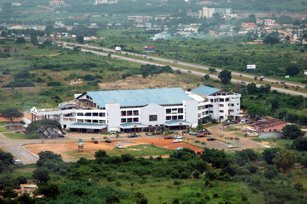
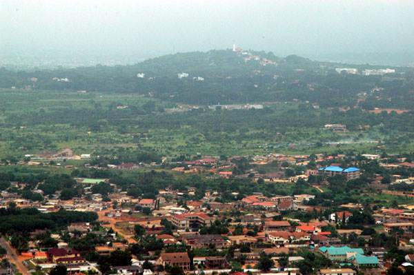 Hill north of Accra, Ghana |
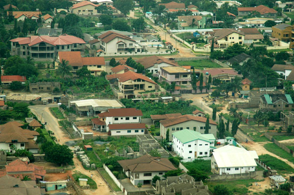
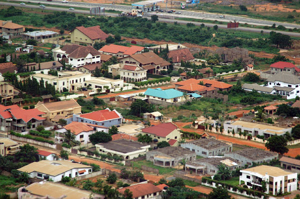 Accra, Ghana |
 Accra, Ghana |
 Accra, Ghana |
 Independence Square, Accra, Ghana |
 Accra, Ghana |
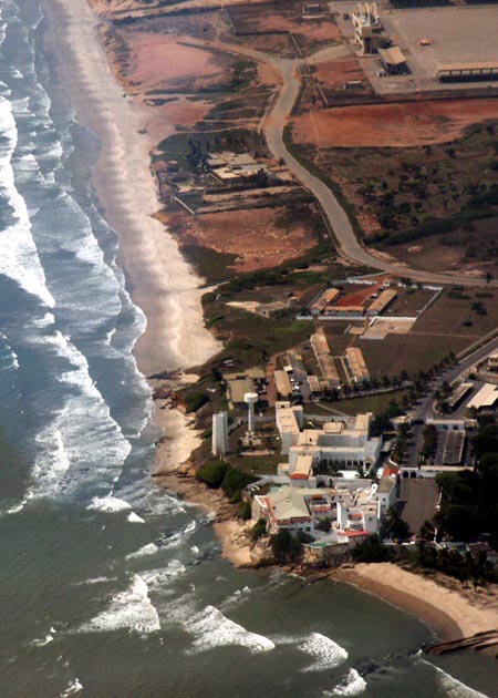
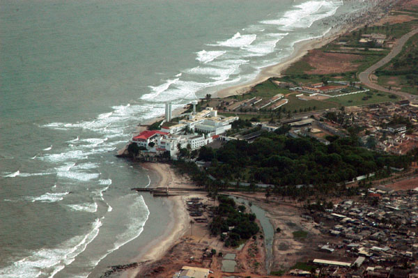 Osu Castle, Accra, Ghana |
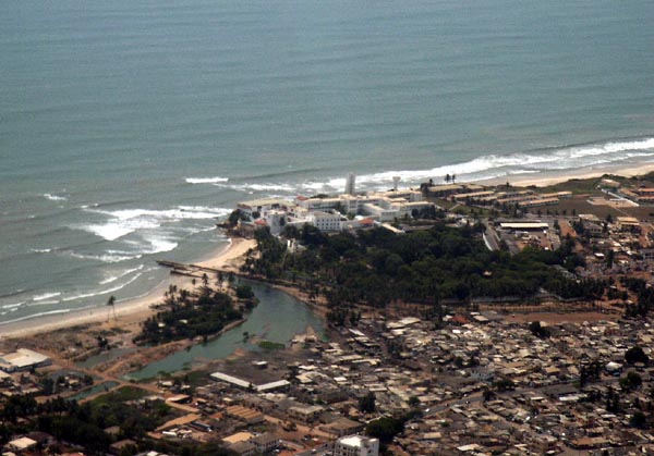
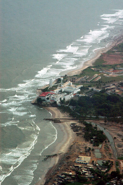 Osu Castle, Accra, Ghana |
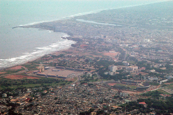
 Coast of Accra |
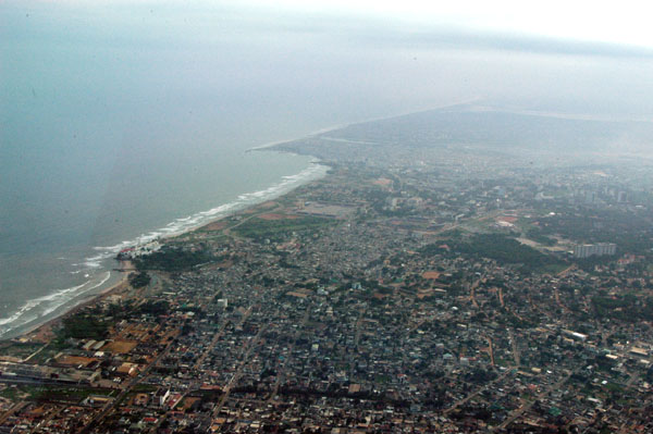
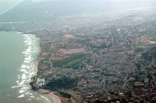 Accra, Ghana |
 Togo |
 Lom�, Togo |
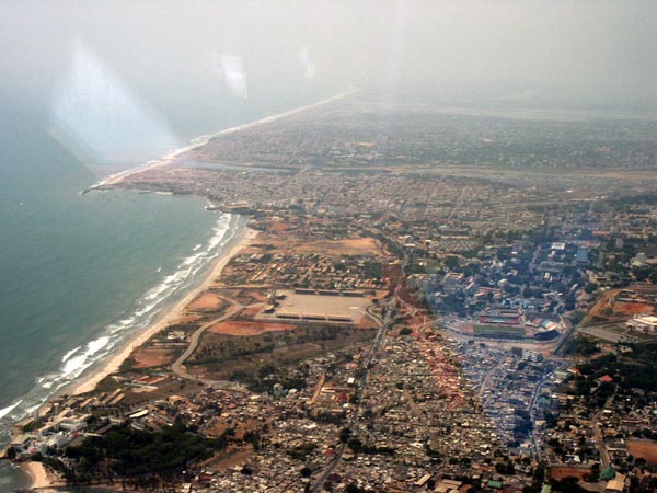
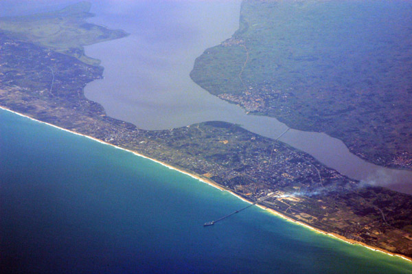
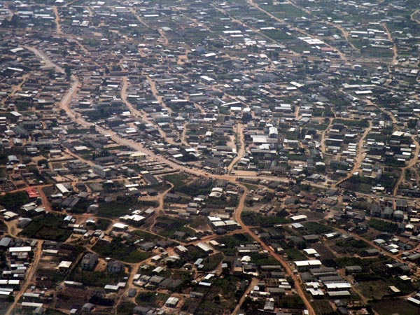
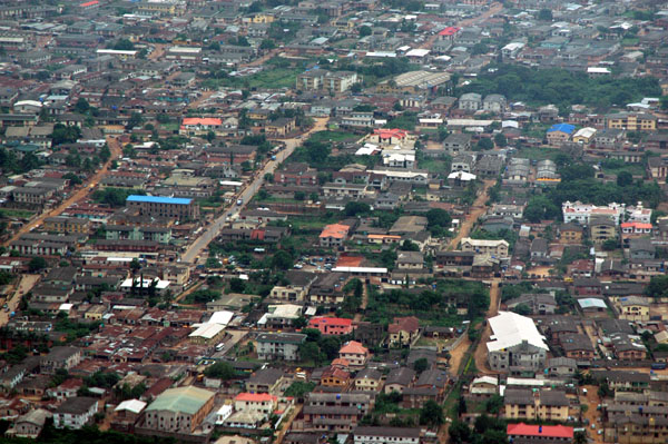
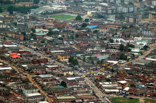
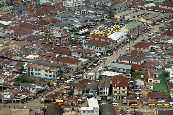
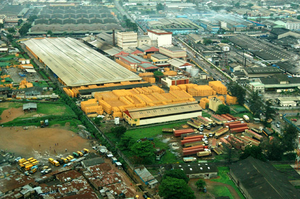
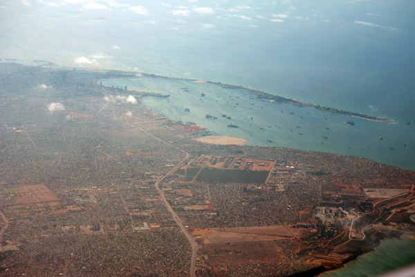
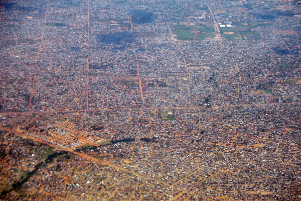
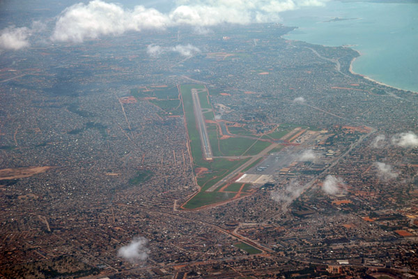
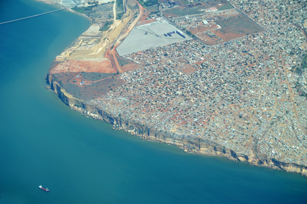
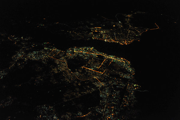
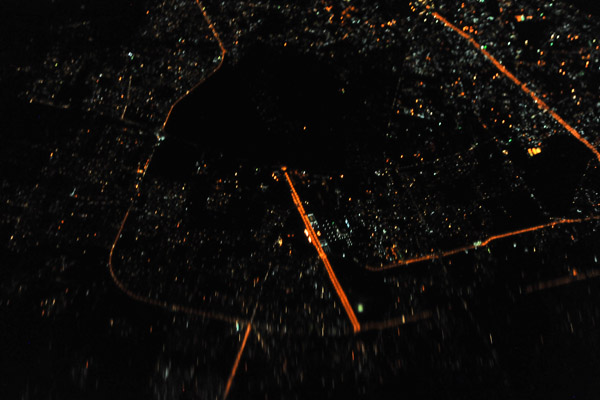
 Lagos, Nigeria |
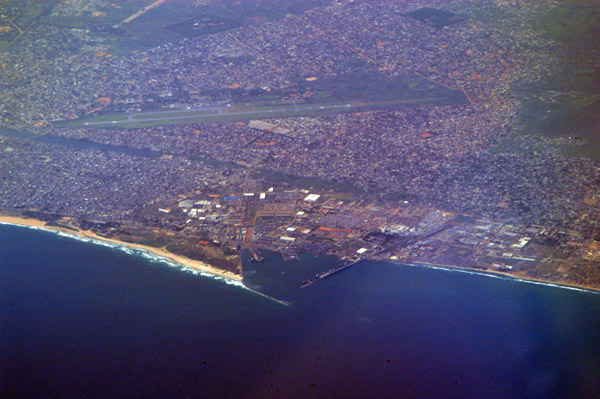
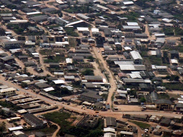
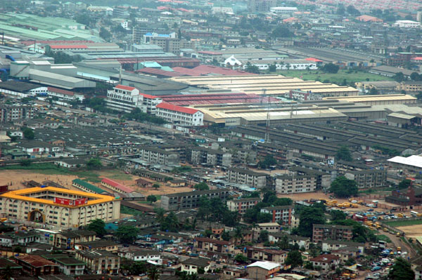
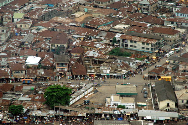
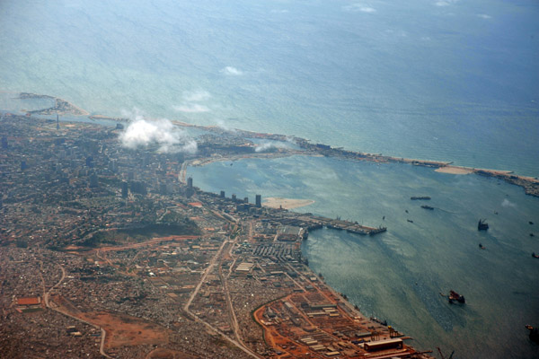
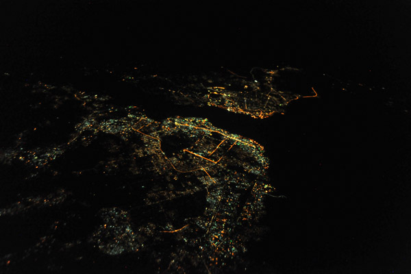
 Lagos, Nigeria |
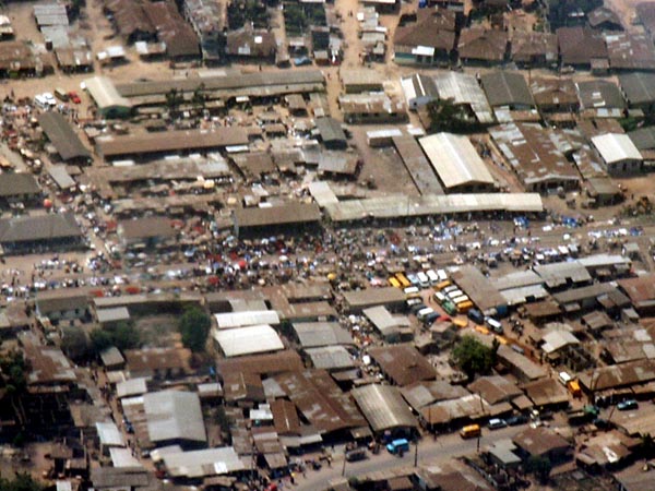
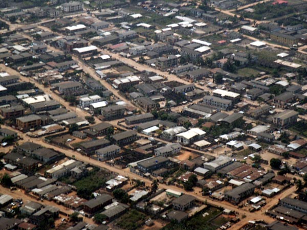
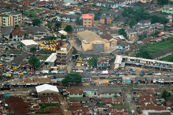
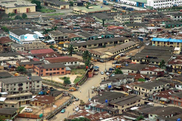
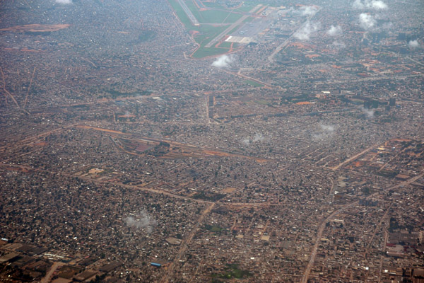
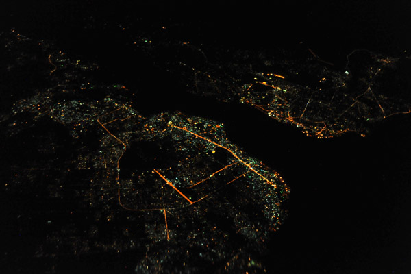
 Lagos, Nigeria |
 On approach to Lagos, Nigeria from Accra |
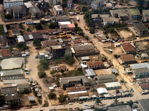
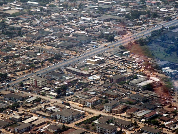
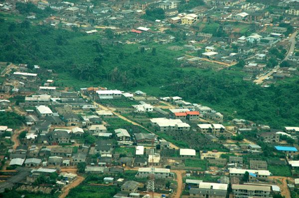
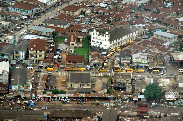
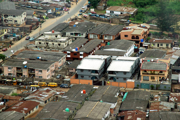
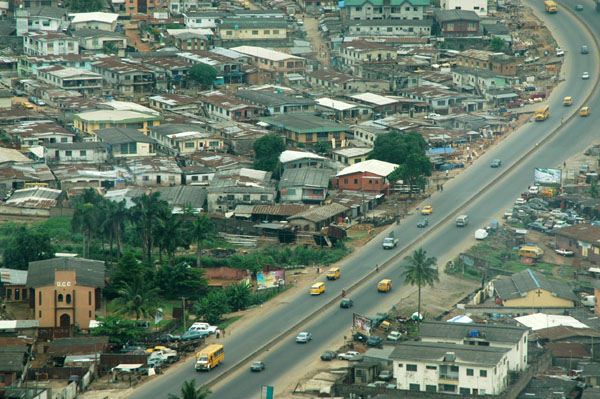
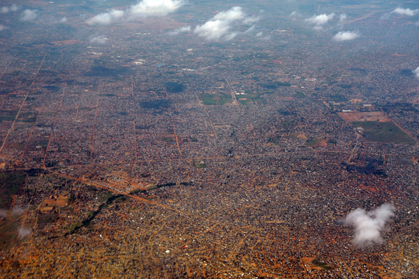
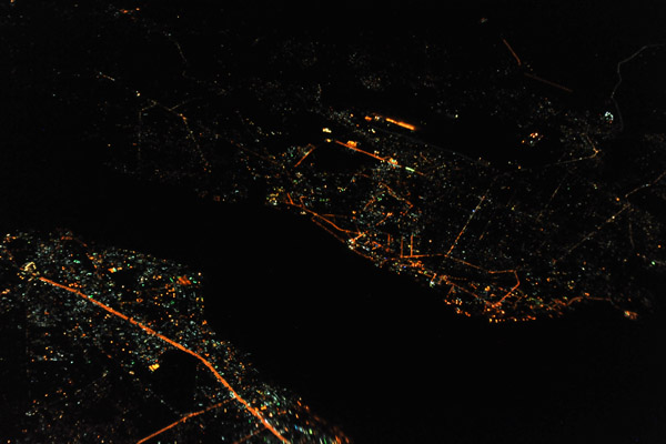
 Lagos, Nigeria |
 Lagos, Nigeria |
 Lagos, Nigeria |
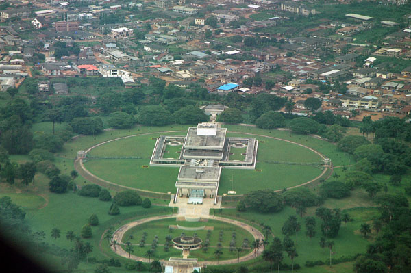 One of the few buildings that stand out on approach to Lagos, Nigeria |
 Lagos, Nigeria |
 Lagos, Nigeria |
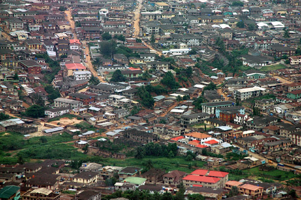 Lagos, Nigeria |
 Lagos, Nigeria |
 Lagos, Nigeria |
 Lagos, Nigeria |
 Lagos, Nigeria |
 Lagos, Nigeria |
 Lagos, Nigeria |
 Lagos, Nigeria |
 Lagos, Nigeria |
 Lagos, Nigeria |
 Lagos, Nigeria |
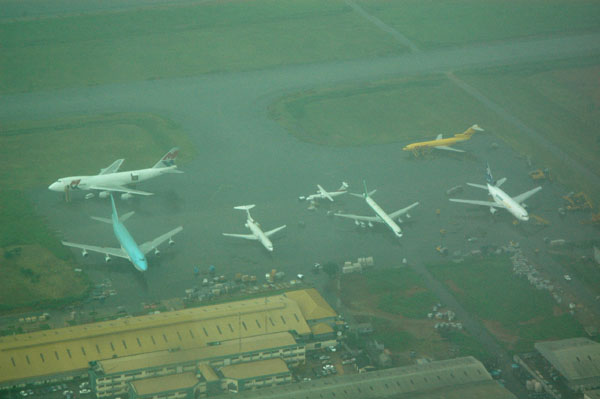 Rainy cargo ramp at Lagos, Nigeria |
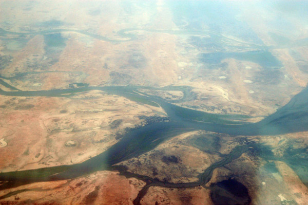
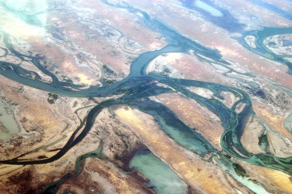
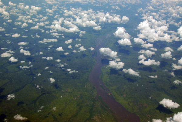
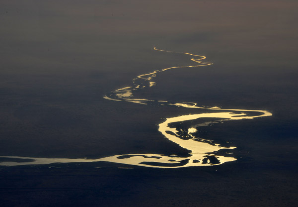
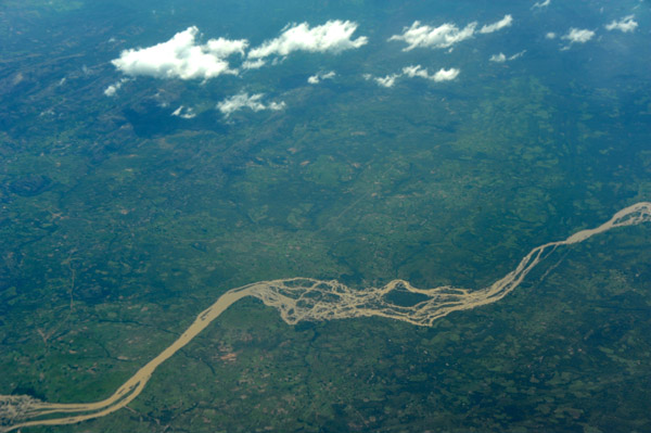
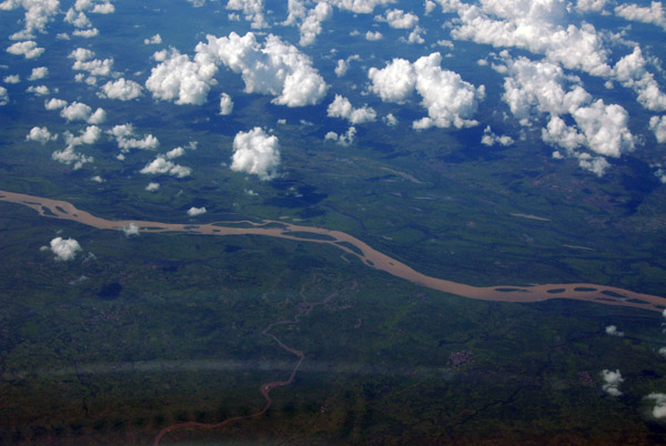 Niger River, Kwara State, Nigeria |
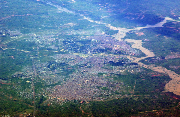
 Kaduna, Nigeria |
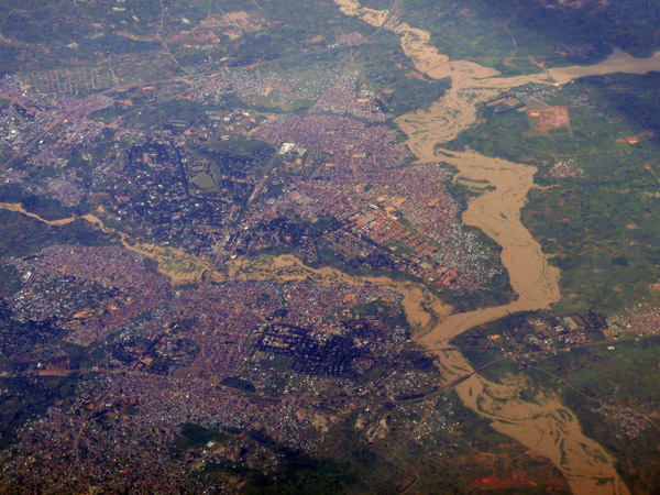
 Zaria, Nigeria |
 Zaria, Nigeria |
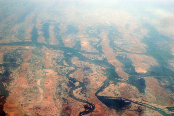
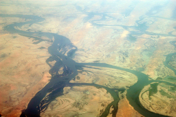
 Niger River, Mali at Aka, Yogoro and Sounkarou, looking east (15 25 51N/004 15 44W) |
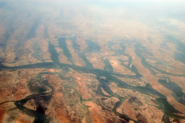
 Interesting parallel depressions with (seasonal?) lakes along the Niger Inland Delta, at Timba, Mali, looking east |
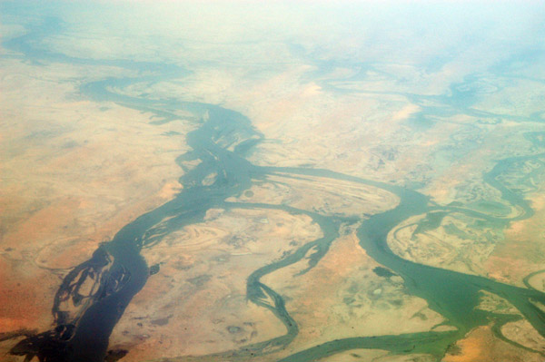
 Niger Inland Delta at Namadel and Toulel, Mali, looking east |
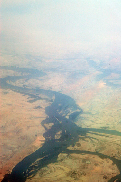
 Niger Inland Delta (Macina), Mali, looking northeast with Tindirma and Banikane at the bottom of the frame |
 Niger River between Mopti and Timbuktu, Mali |
 Niger River, Mali (16 07 36N/03 29 25W) |
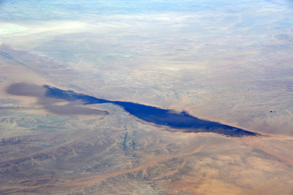
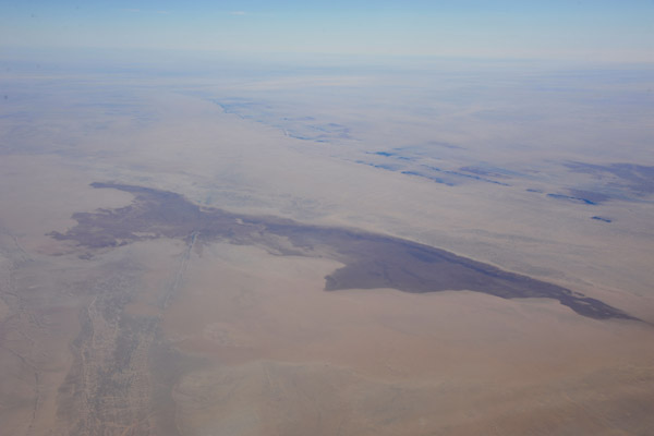
 Lac Fatil, Lac Kamango, Goundam, Mali |
 Lac Fatil, Lac Kamango, Goundam, Mali |
 Goundam, Mali (16 25 03N/003 40 04W) |
 Niger River, Mali at Aibongo (16 12 55N/003 14 30W) |
 Niger Inland Delta, Mali, looking southeast at Gabongo and Fata (16 10 38N/003 17 07W) |
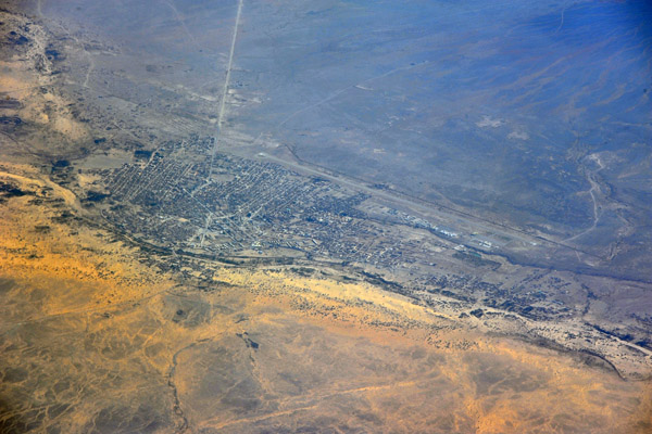
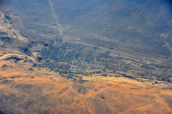
 Timbuktu, Mali (Tombouctou) |
 Timbuktu, Mali (Tombouctou) |
 Timbuktu, Mali (Tombouctou) |
 Timbuktu, Mali (Tombouctou) |
 Timbuktu, Mali (Tombouctou) |
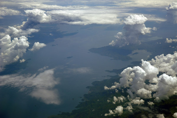
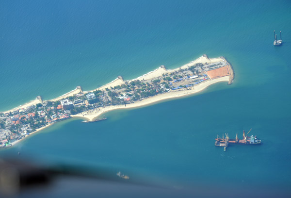
 Banana Island, Sierra Leone and Kent on the mainland (left) 8 07N/13 12W |
 Bangui, Central African Republic |
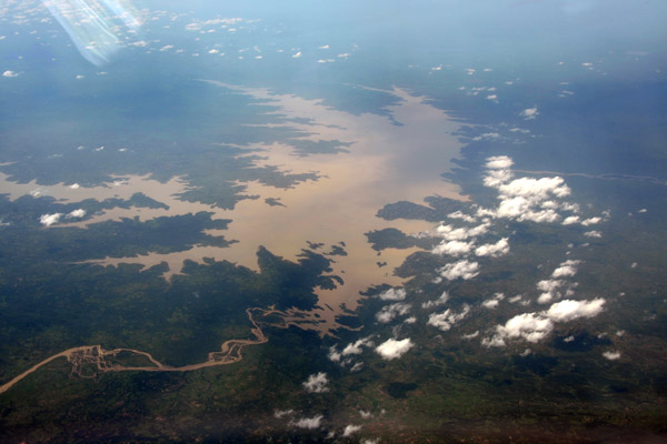
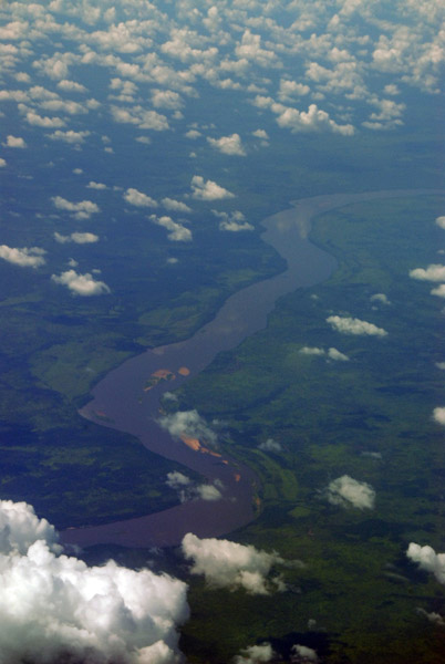 Ubangui River, CAR/DRC |
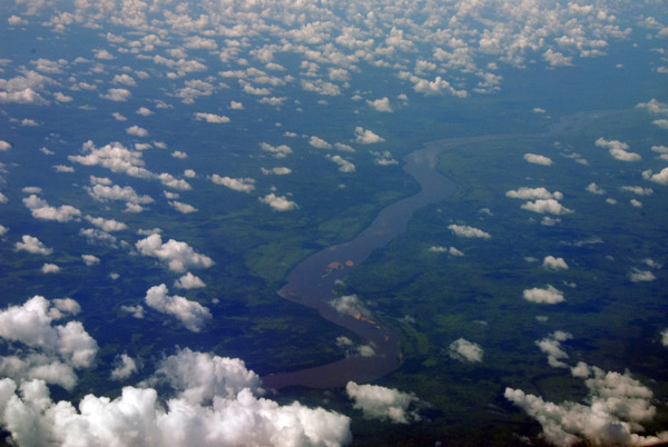 Ubangui River, Central African Republic/Democratic Republic of Congo |
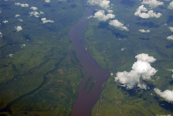 Ubangui River, Central African Republic/Democratic Republic of Congo |
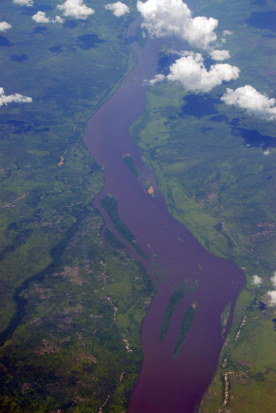 Ubangui River, CAR/DRC |
 Ubangui River, Central African Republic/Democratic Republic of Congo |
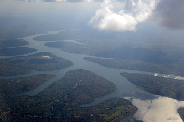
 Lake Kivu, Goma, DR Congo |
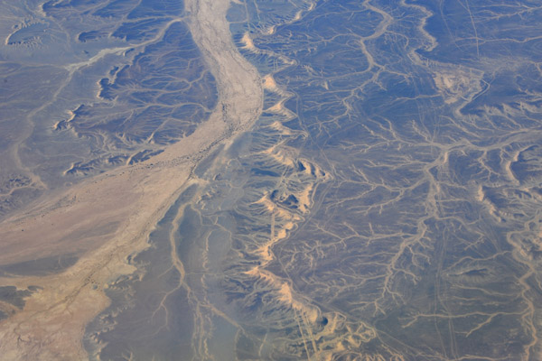
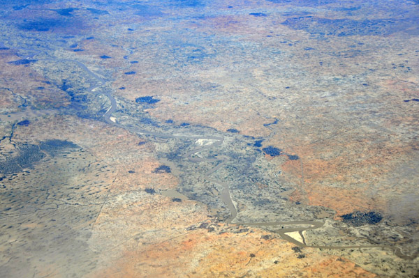
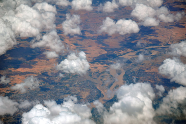
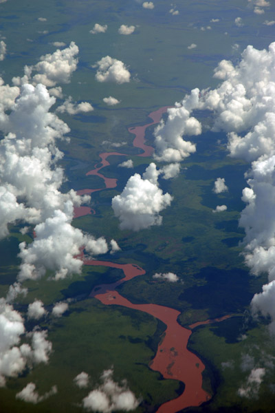 Tributary of the Congo, DRC (S05 23/E020 05) |
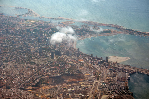
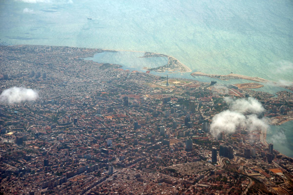
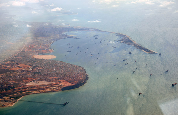
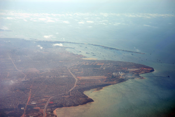 Luanda, Angola |
 Luanda, Angola |
 Luanda, Angola |
 Luanda, Angola |
 Luanda, Angola |
 Luanda, Angola |
 Luanda Airport, Angola |
 Luanda, Angola |
 Luanda, Angola |
 Luanda, Angola |
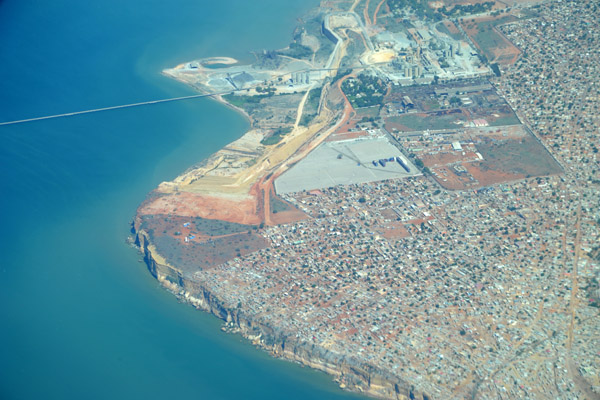
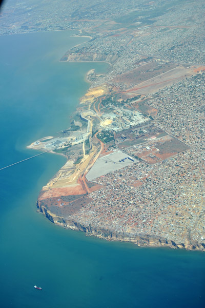
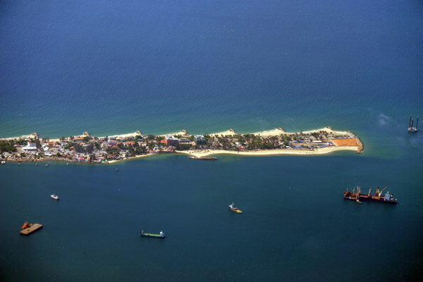
 Ilha do Cabo, Luanda, Angola |
 Luanda, Angola |
 Luanda, Angola |
 Luanda, Angola |
 Luanda, Angola |
 Ilha do Cabo, Luanda, Angola |
 Kinshasa, DR Congo & Brazzaville, Rep. Congo |
 Kinshasa, DR Congo & Brazzaville, Rep. Congo |
 Kinshasa, DR Congo & Brazzaville, Rep. Congo |
 Kinshasa, DR Congo & Brazzaville, Rep. Congo |
 Kinshasa, DR Congo & Brazzaville, Rep. Congo |
 Boulevard Triomphal, Kinshasa, Democratic Republic of Congo (ex-Zaire) |
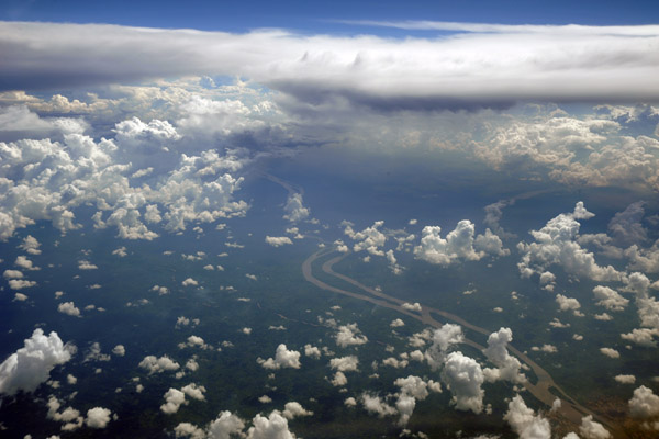
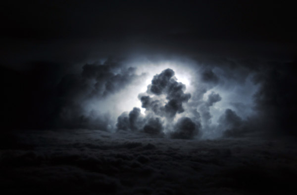 Thunderstorms over the Congo |
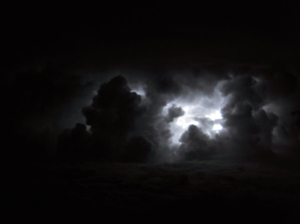 Thunderstorms over the Congo |
 Thunderstorms over the Congo |
 Virunga Mountains, Rwanda/DR Congo/Uganda |
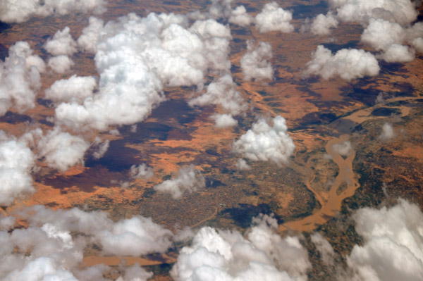
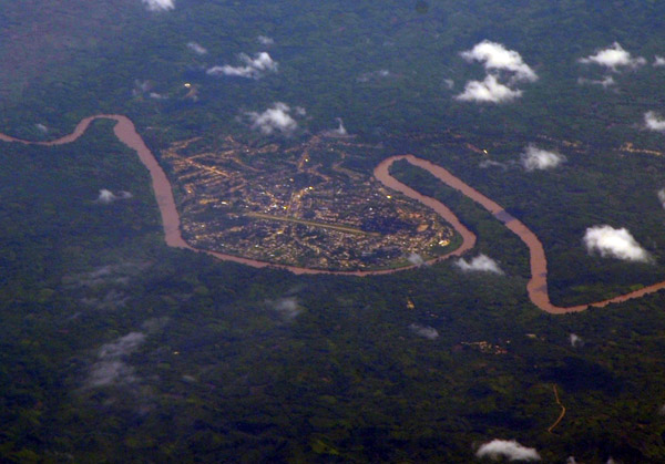 Shabunda, Democratic Republic of Congo |
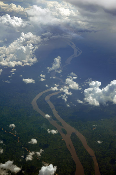
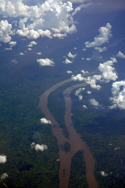
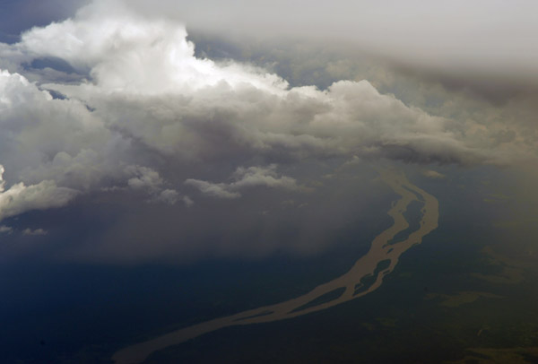
 The Congo River south of Kindu, Maniema province, Democratic Republic of Congo |
 The Congo River south of Kindu, DRC |
 The Congo River south of Kindu, DRC |
 The Congo River south of Kindu, DRC |
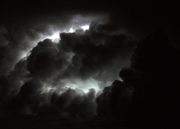
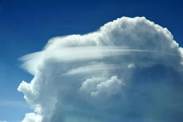 Storm cloud over the D.R. Congo |
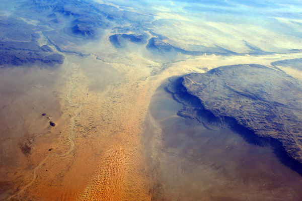
 Western Sahara (N26 54/W11 01) |
 Entering Mauritania from the north (N25 25/W11 02) |
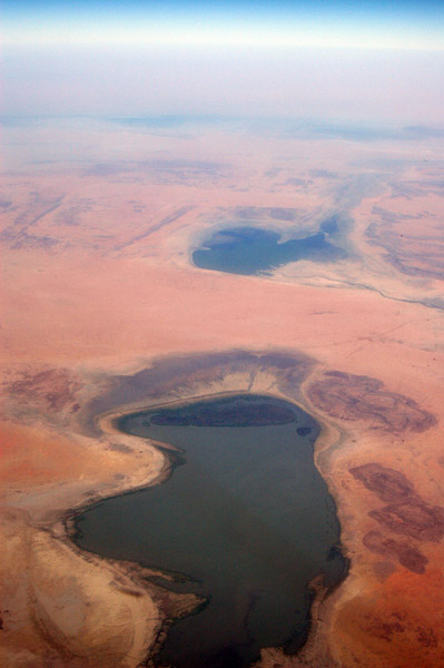
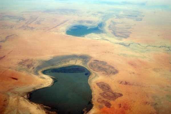
 What looks like a seasonal lake in the desert of northern Mauritania (January - N25/W11)) |
 Northern Mauritania |
 Northern Mauritania - (N24 20/W11 38) |
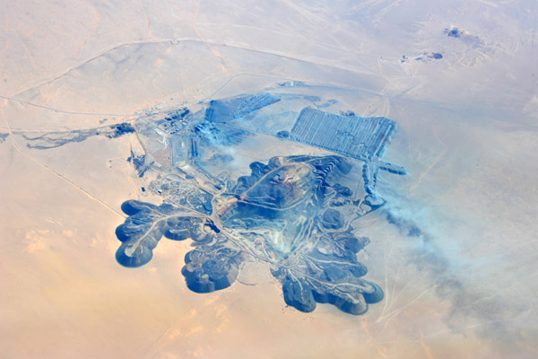
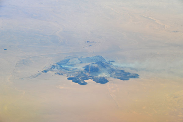 Guelb El Rhein mine, Zou�rat, Mauritania (N22 53/W12 19) |
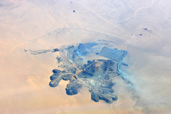
 Guelb El Rhein mine, Zou�rat, Mauritania (N22 53/W12 19) |
 Guelb El Rhein mine, Zou�rat, Mauritania (N22 53/W12 19) |
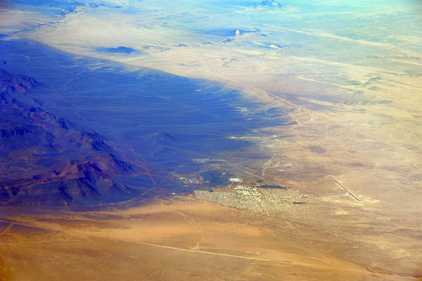
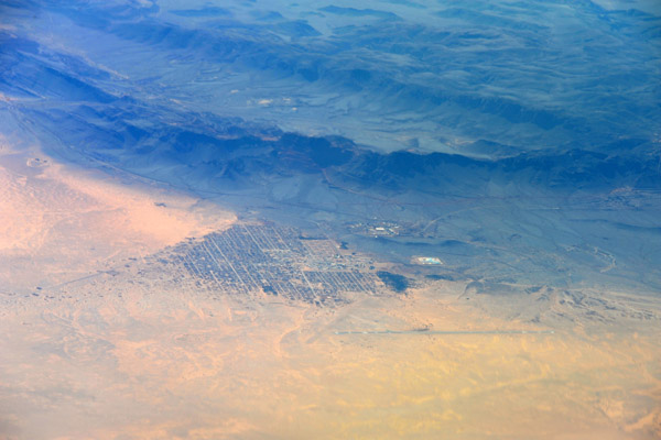 Zou�rat, Mauritania |
 Iron mining center, Zou�rat, Mauritania |
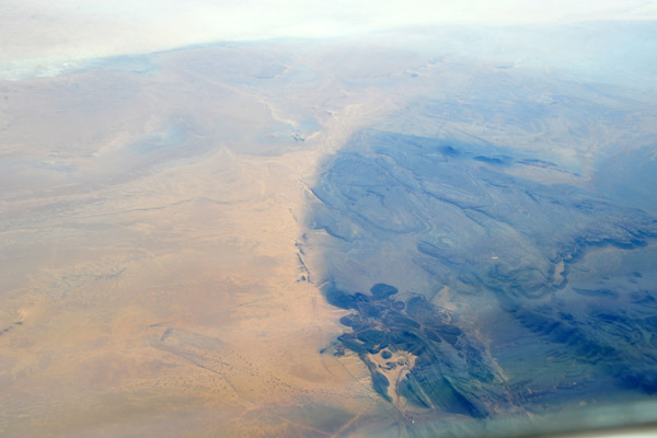
 Fderik, Mauritania |
 Fderik, Mauritania |
 Northern Mauritania flying south from Zou�rat towards Atar |
 Atar region - Choum, Mauritania |
 Atar region - Choum, Mauritania |
 Choum, Mauritania, with a colonial-era tunnel (N21 20.4/W12 59.5) |
 Choum, Mauritania, with a colonial-era tunnel (N21 20.4/W12 59.5) |
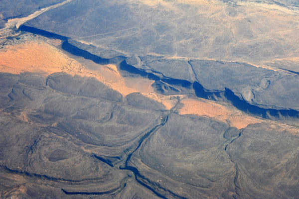
 Erg Macqteir, Atar Region, Mauritania (N21 15/W12 53) |
 Atar, Mauritania |
 Atar, Mauritania |
 Adrar Plateau, Atar, Mauritania |
 Adrar Plateau, Atar, Mauritania |
 Terjit, Mauritania |
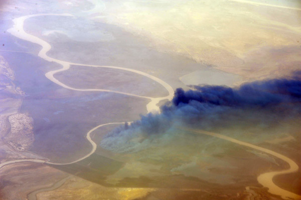 Senegal-Mauritania border - fire burning along the Senegal River near Tiguet |
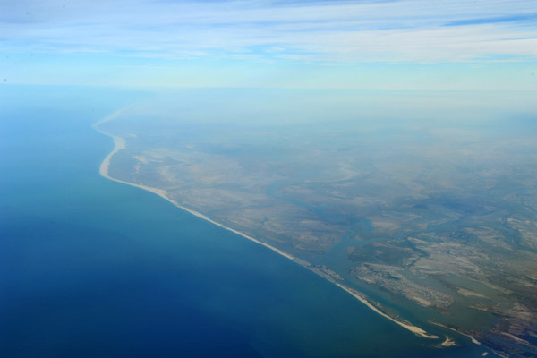
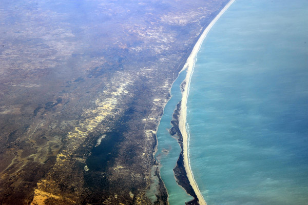 Long beach south of St. Louis, Gnayam, S�n�gal |
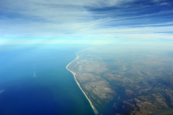
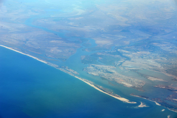 Atlantic coast at St. Louis, Senegal |
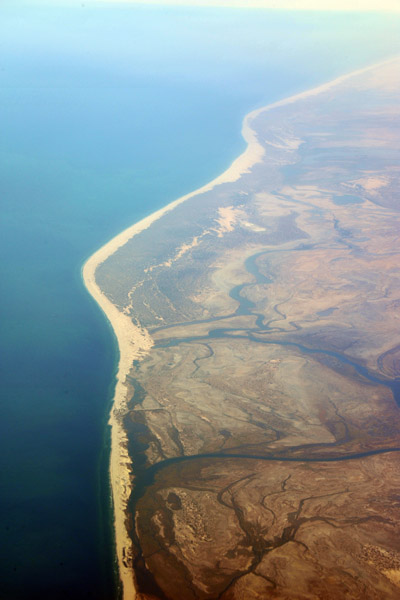
 Looking north along the Mauritanian coast from St. Louis, Senegal |
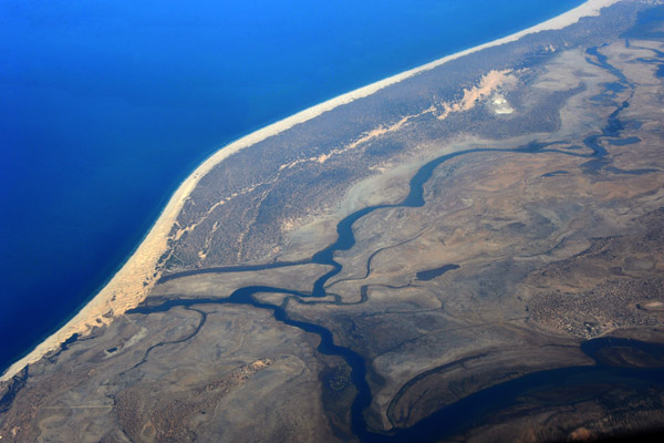
 West African coast - St. Louis, Senegal and southern Mauritania |
 Southern coast of Mauritania |
 Southern coast of Mauritania |
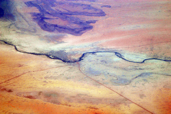
 Senegal River forming the border between Senegal and Mauritania |
 Sahara to the east of Nouakchott, Mauritania |
 Sahara to the east of Nouakchott, Mauritania |
 Sahara to the east of Nouakchott, Mauritania |
 Desert of southern Mauritania |
 Desert of southern Mauritania |
 Southern Mauritania |
 Adrar Plateau, Mauritania - Oued El Abiod to the right |
 Adrar Plateau, Mauritania (N20 11/W13 16) |
 Adrar Plateau, Mauritania |
 The White Valley - Oued El Abiod - Adrar Plateau, Mauritania |
 Adrar Plateau, Mauritania |
 Adrar Plateau, Mauritania |
 Atar, Mauritania |
 Atar, Mauritania |
 Azougui, Mauritania |
 Azougui, Mauritania |
 Azougui, Mauritania |
 Zou�rat, Mauritania |
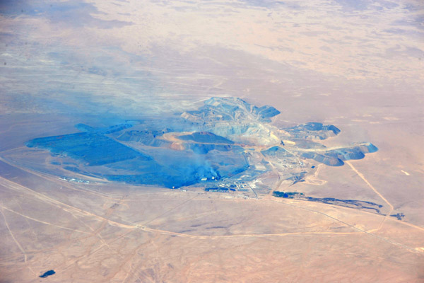 Guelb El Rhein mine, Zou�rat, Mauritania (N22 53/W12 19) |
 Western Sahara (N26/W10) |
 Western Sahara |
 Western Sahara |
 Western Sahara |
 Western Sahara |
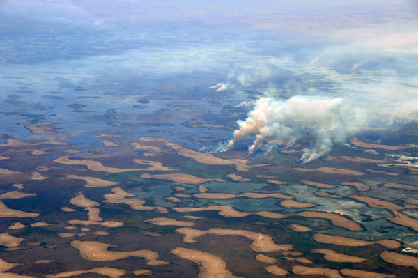 Fires on the north side of Lake Chad |
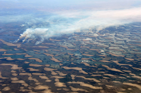 Fires on the north side of Lake Chad |
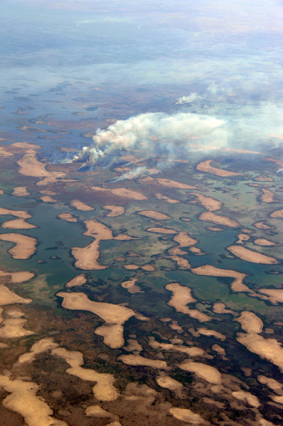 Fires on the north side of Lake Chad |
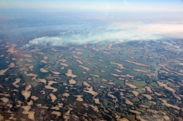 Fires on the north side of Lake Chad |
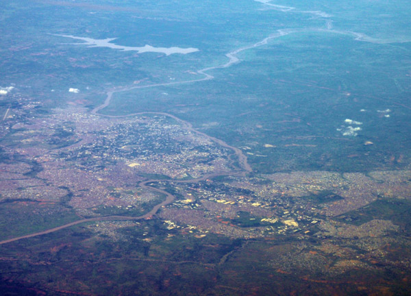
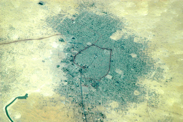
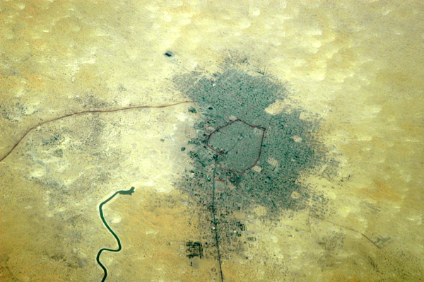
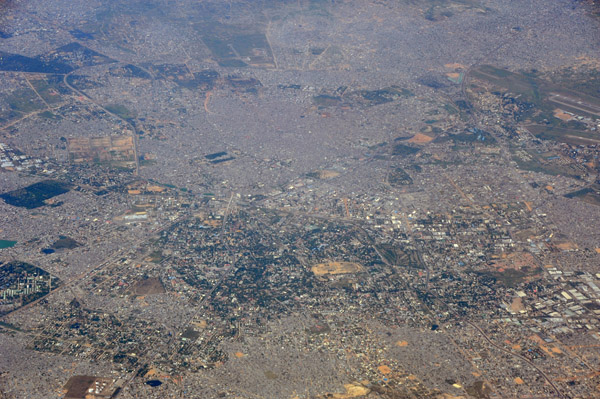
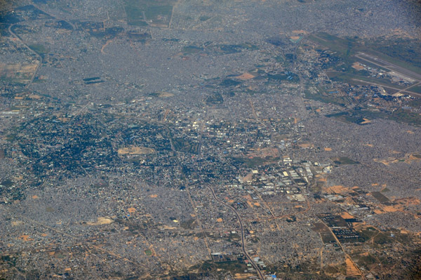 Kano, Nigeria |
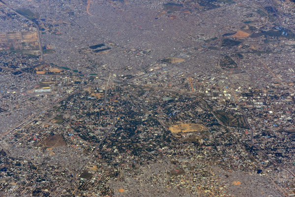
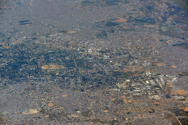 Kano, Nigeria |
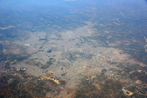
 Kano, Nigeria |
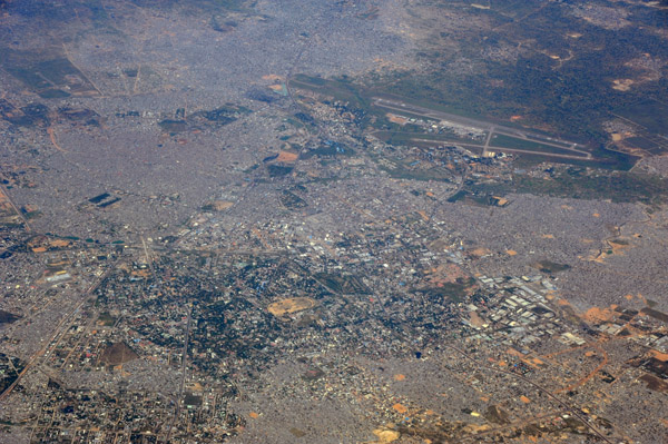
 Kano, Nigeria |
 Kano, Nigeria |
 Kano, Nigeria |
 Kano, Nigeria |
 Kaduna River, Nigeria |
 Lake formed by the Shiroro Dam on the Kaduna River, Nigeria |
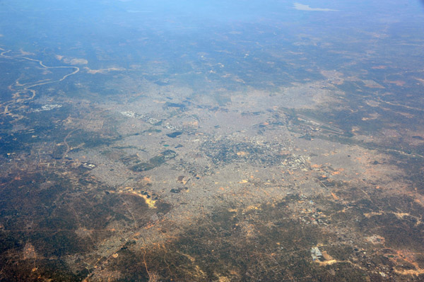
 Northern Nigeria |
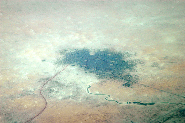
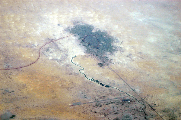
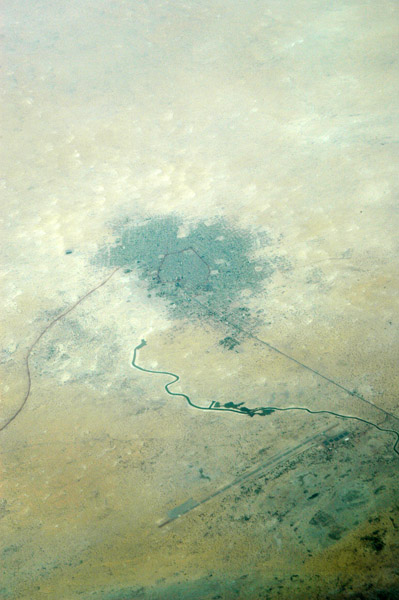
 Magagindoke Nigeria |
 Niamey, Niger |
 Niamey, Niger |
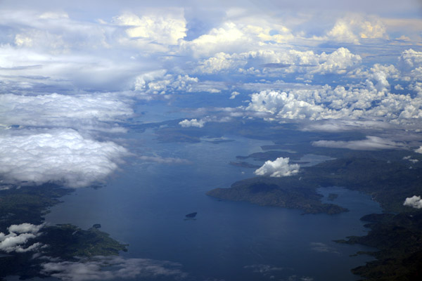
 Lake Muhazi, Rwanda |
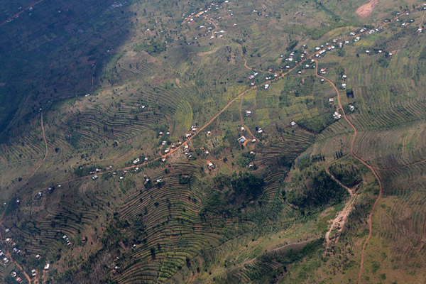 Terraced fields on the hills of Rwanda |
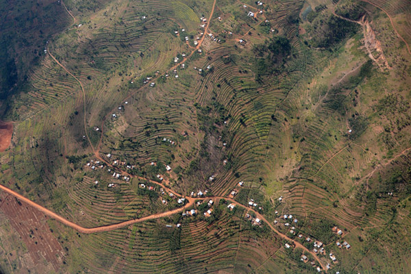 Terraced fields on the hills of Rwanda |
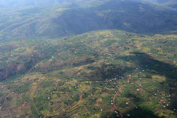 Rwanda - the Green Heart of Africa |
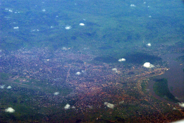
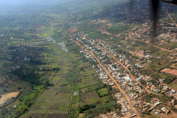
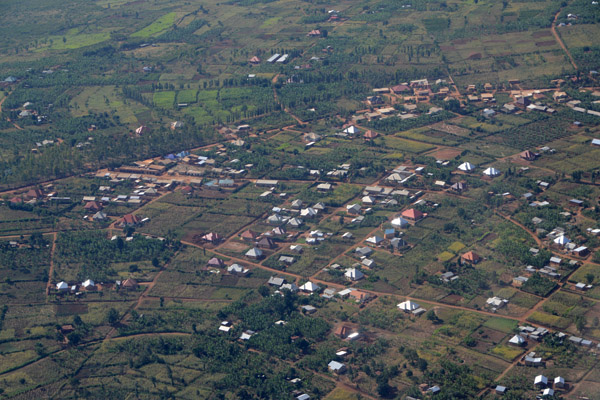 Outskirts of Kigali, Rwanda |
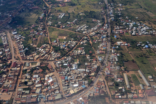 Kigali, Rwanda |
 Landing in Kigali, Rwanda |
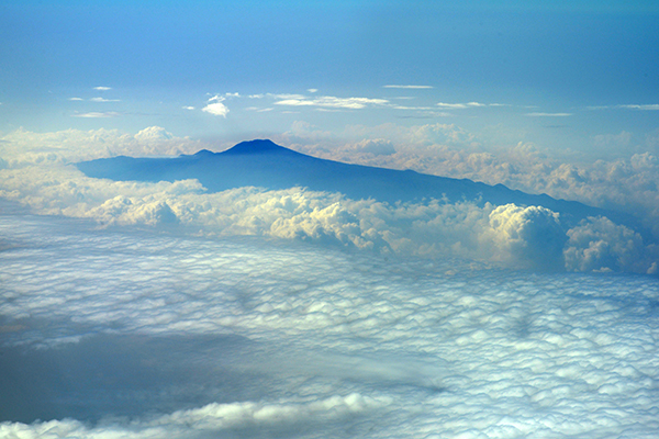 Mount Cameroon (4040m/13,254 ft) |
 Lake Kivu, Goma, D.R. Congo |
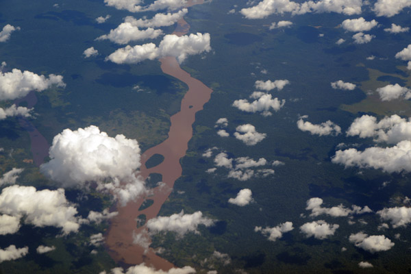 Kasai River, D.R. Congo |
| comment | share |