


|
|
|
|
|
|
| Brian McMorrow | profile | all galleries >> Aviation >> Aerial Photos >> Aerials- Africa >> Aerials-North Africa | tree view | thumbnails | slideshow | map |
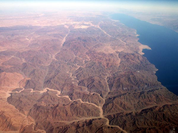
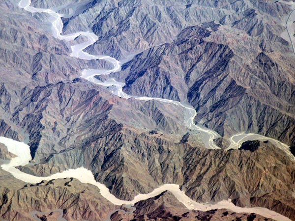
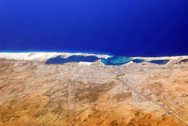
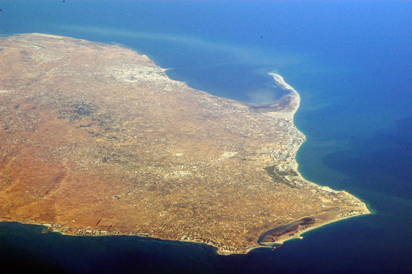
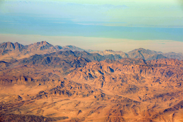
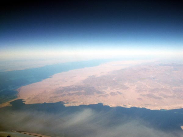 Sinai Peninsula, Egypt |
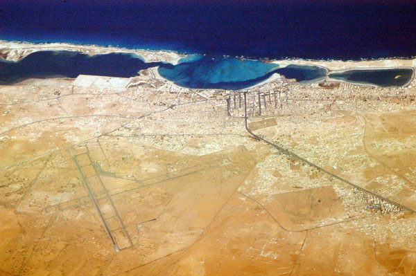
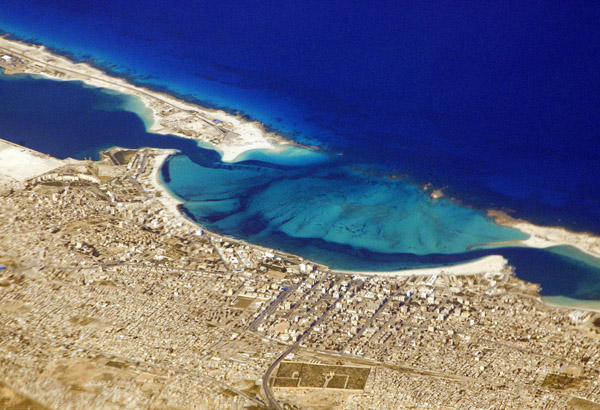
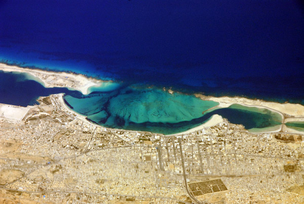
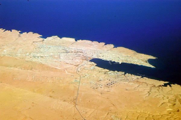
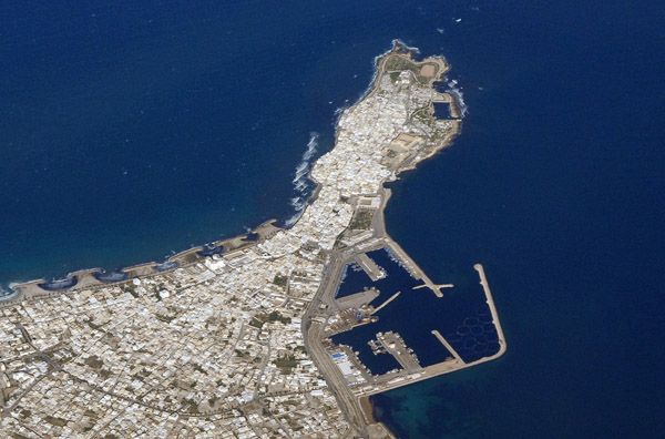
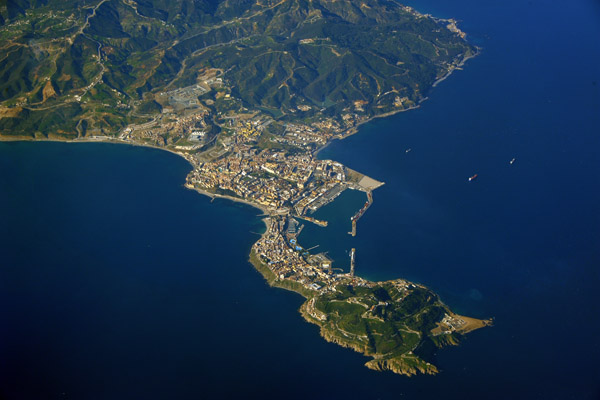
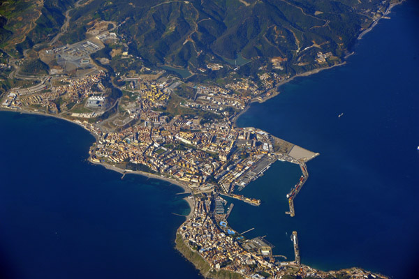
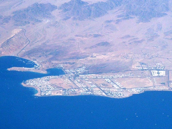 Sharm el Sheikh, Egypt |
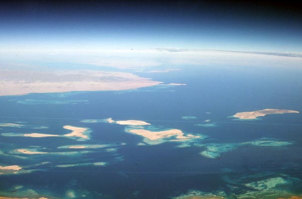
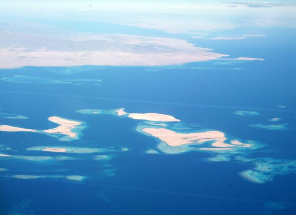
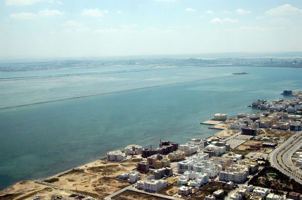
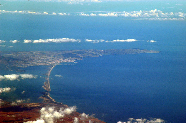
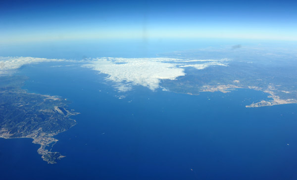
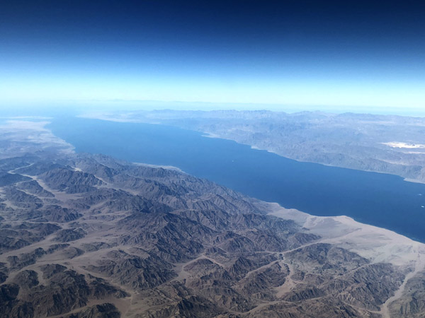
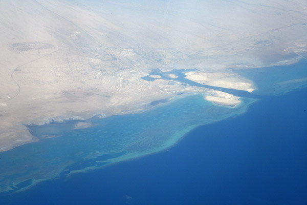
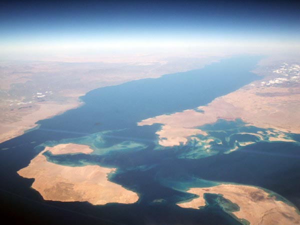 Gulf of Aqaba looking north, Tiran island on left |
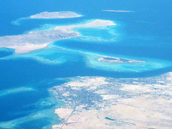
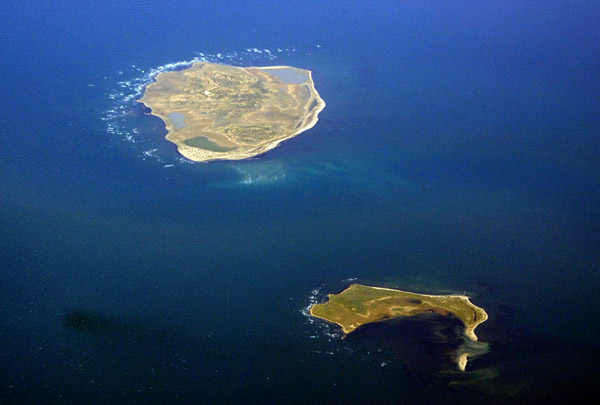
 Sanafir Island, Saudi Arabia (Red Sea, near Sharm el Sheikh) |
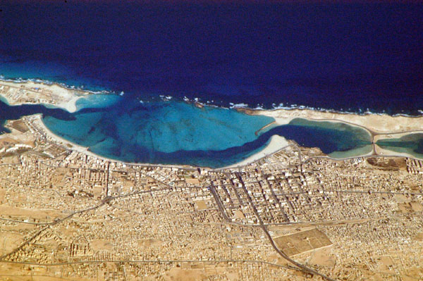
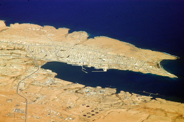
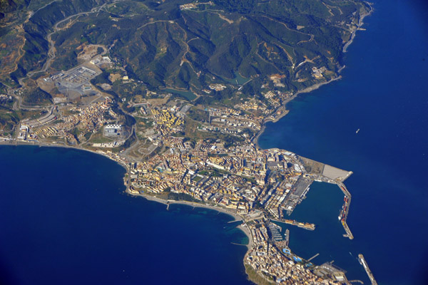
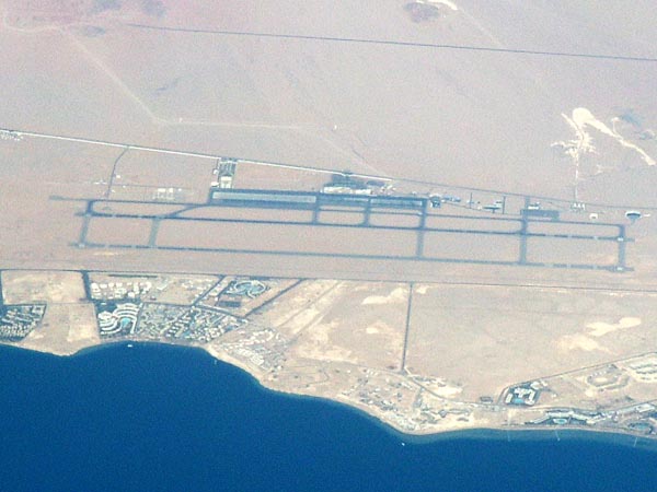 Sharm el Sheikh, Egypt |
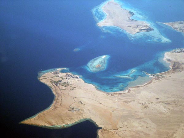
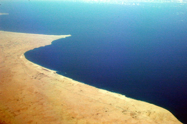
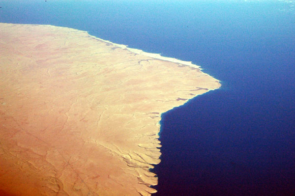
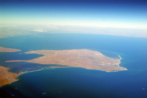
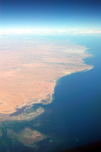
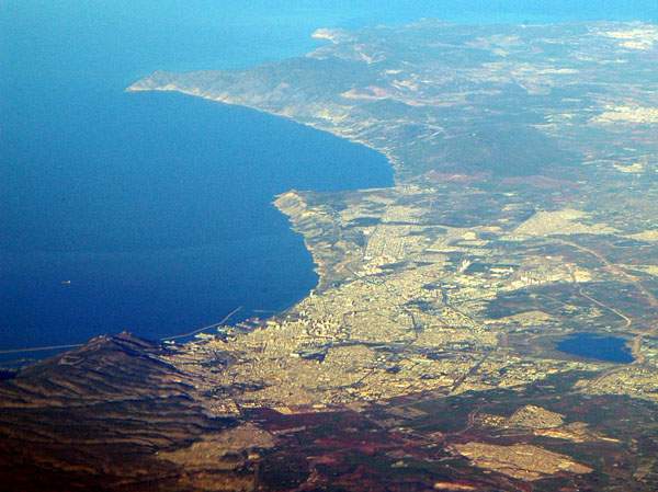
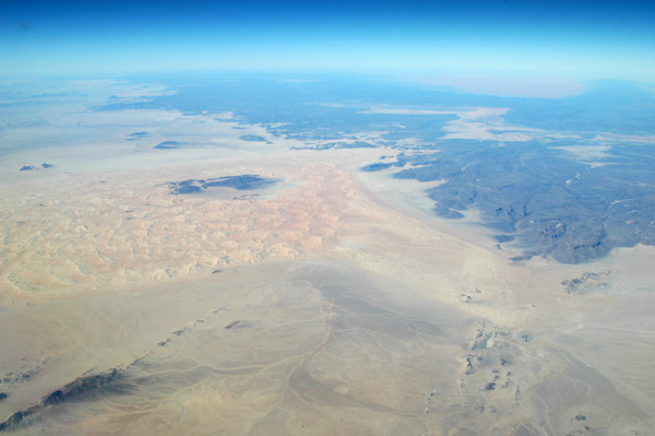
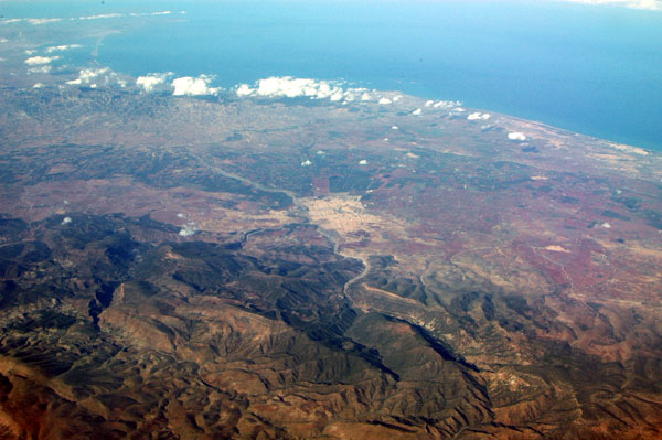
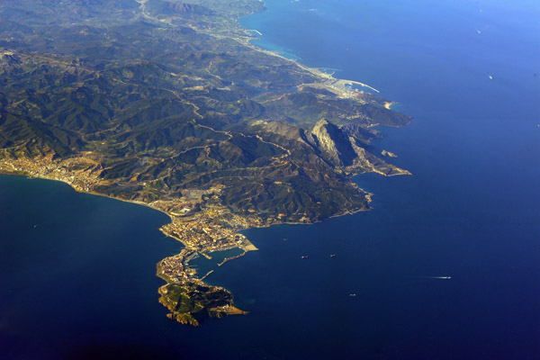
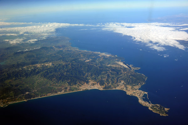
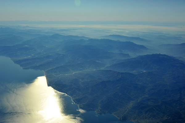
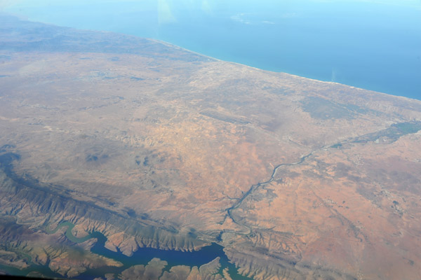
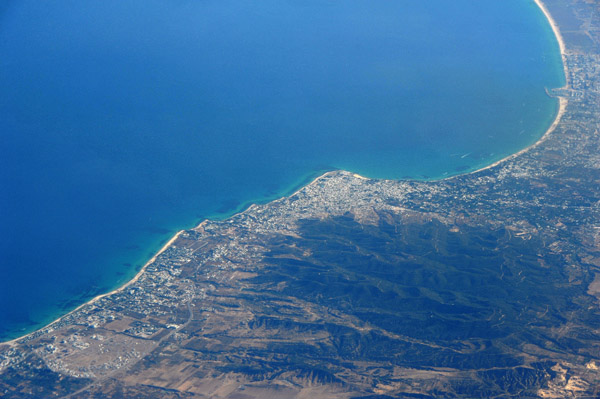
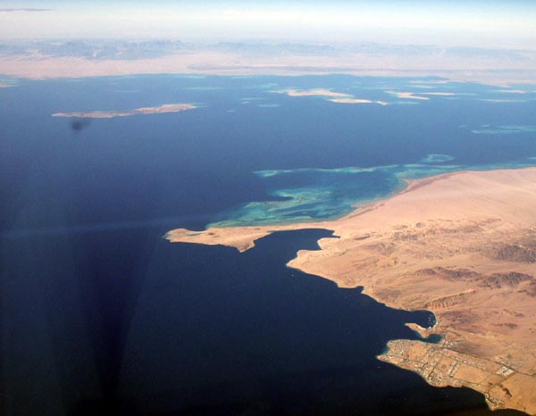 Southern tip of Sinai and the African mainland |
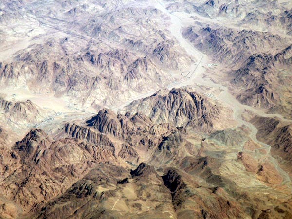
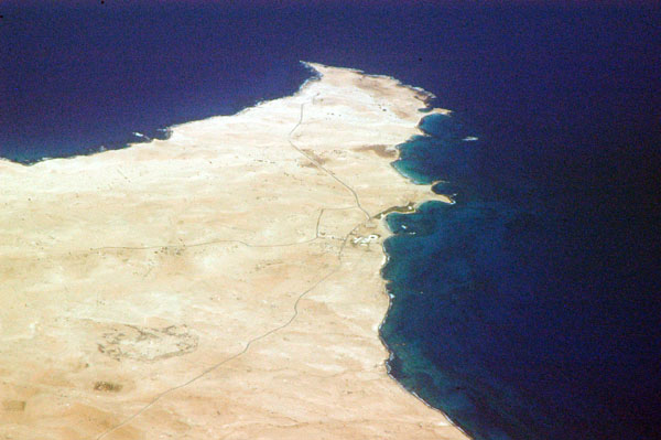
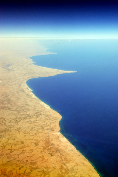
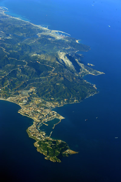
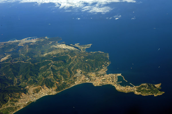
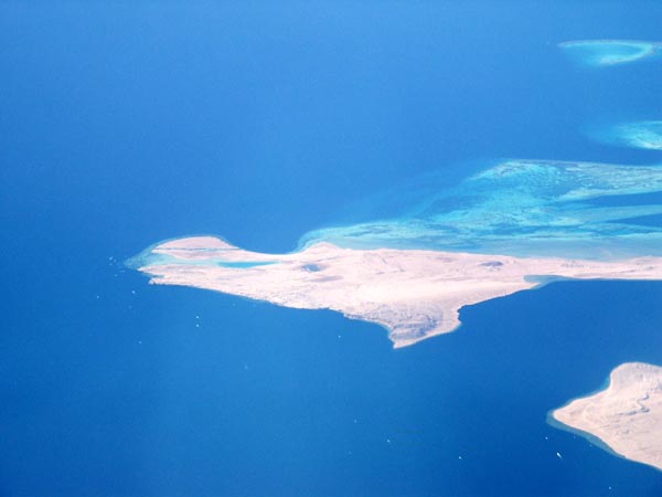 Southern tip of Sinai |
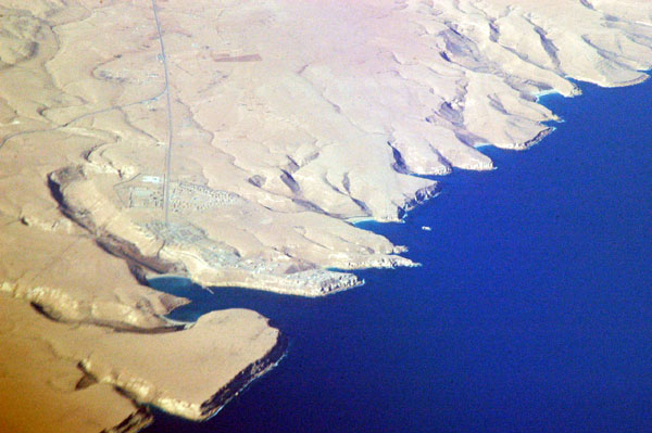
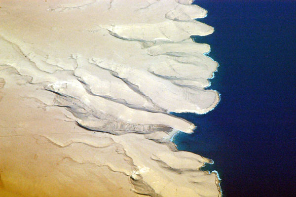
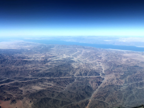
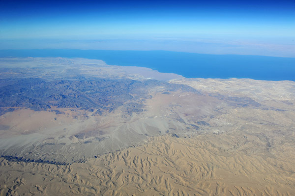
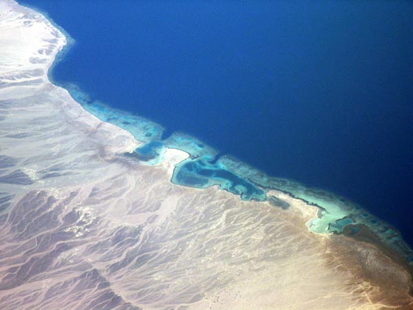 Gulf of Aqaba coast of Sinai |
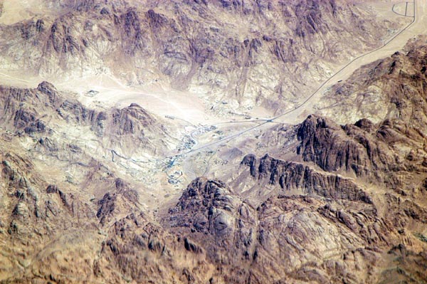
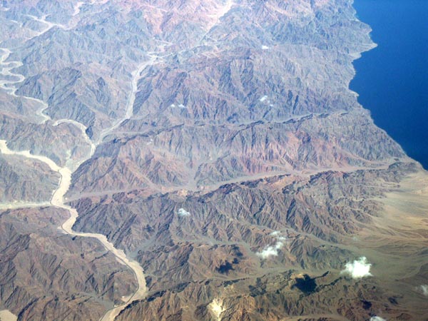 Sinai, Egypt |
 Sinai and Gulf of Aqaba |
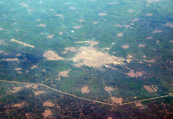
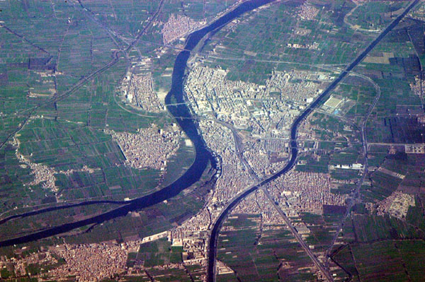
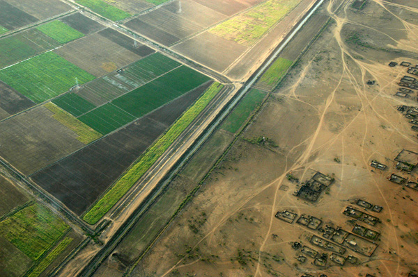
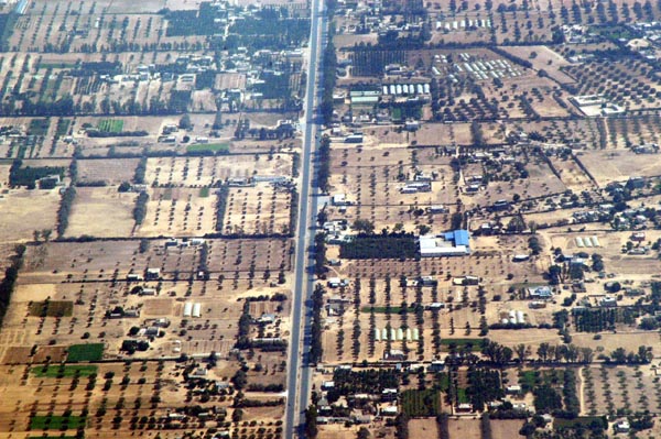
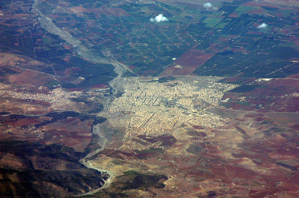
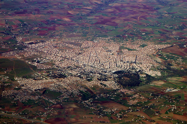
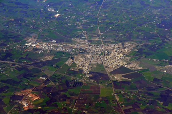
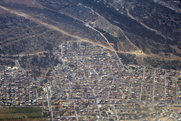
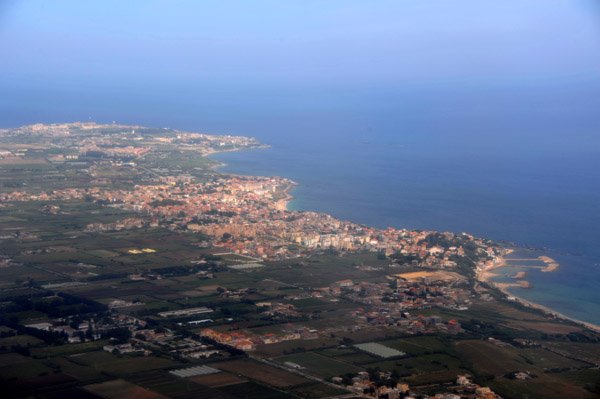
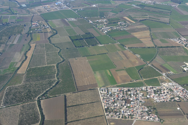
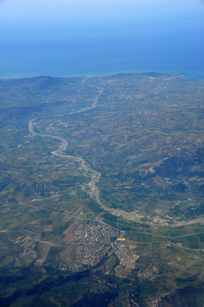
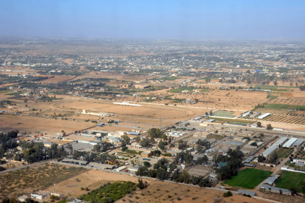
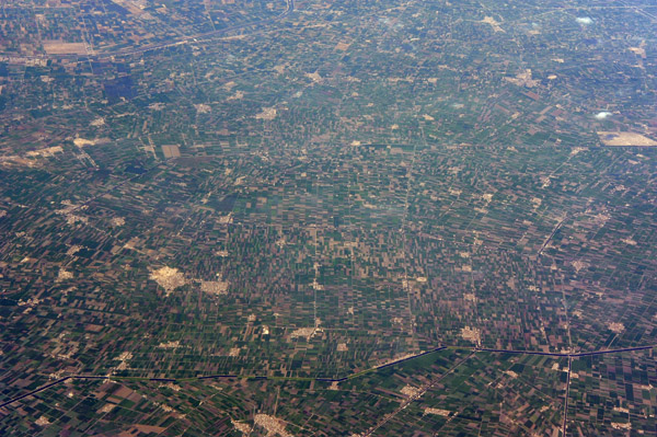
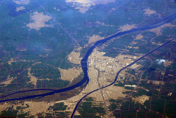 Banha, Al Qalyubiyah Governate, Nile Delta, Egypt |
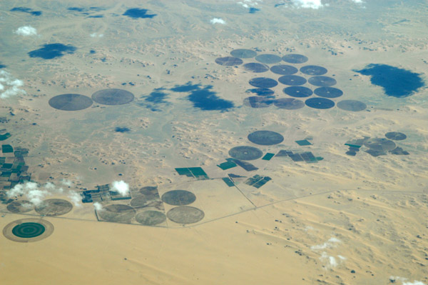
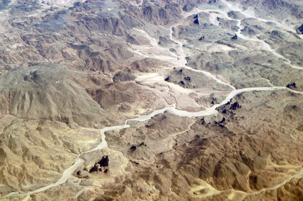
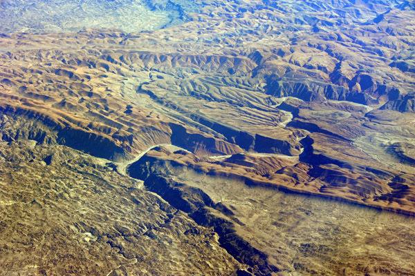
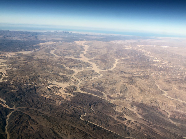
 Sinai Peninsula |
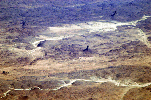
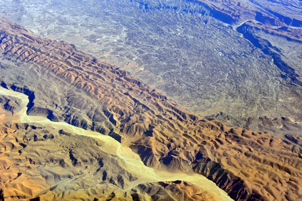
 Sinai Peninsula |
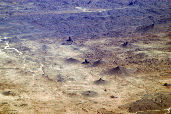
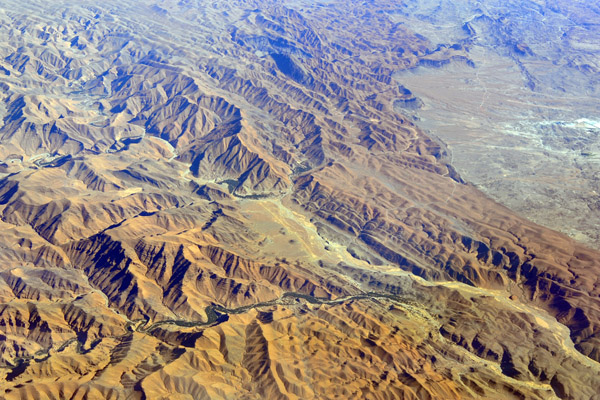
 Sinai, Egypt |
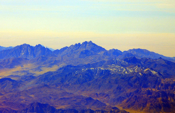
 Mount Sinai and St. Catherine's, Egypt |
 Mount Sinai, Egypt |
 Mount Sinai, Egypt |
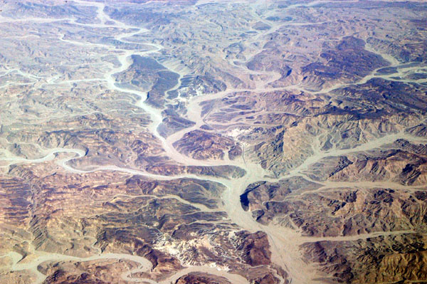
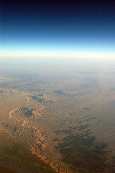
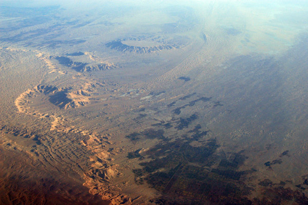
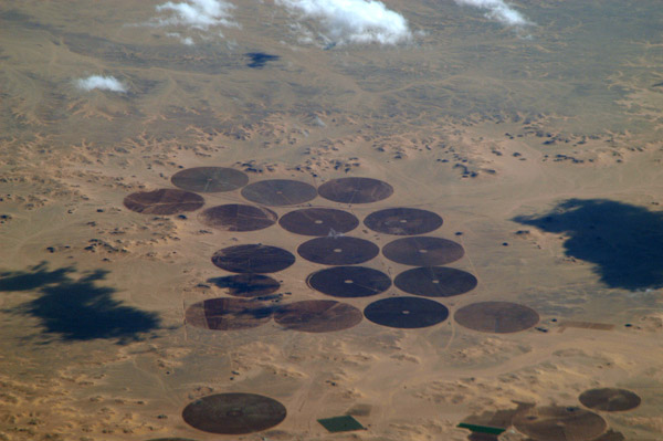
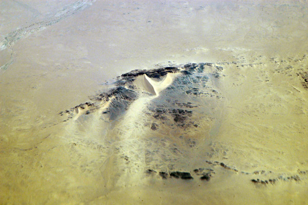
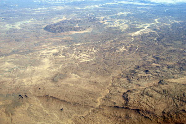
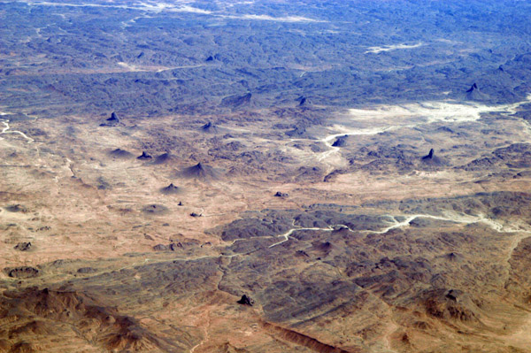
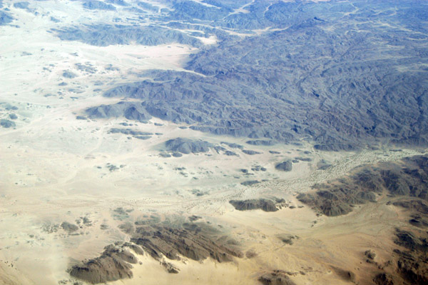
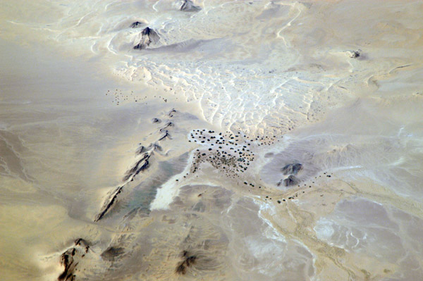
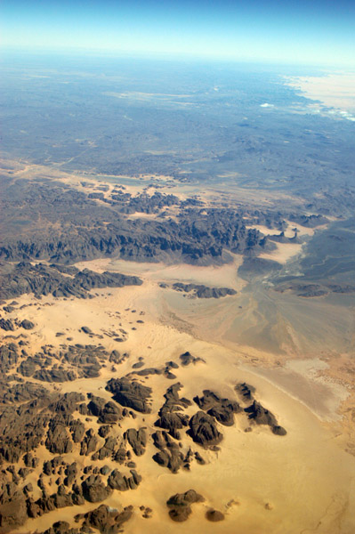
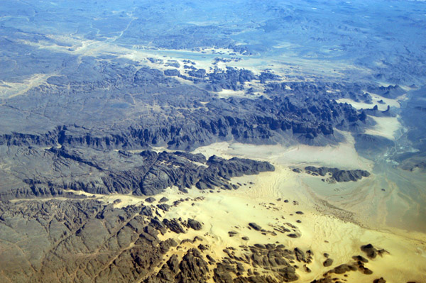
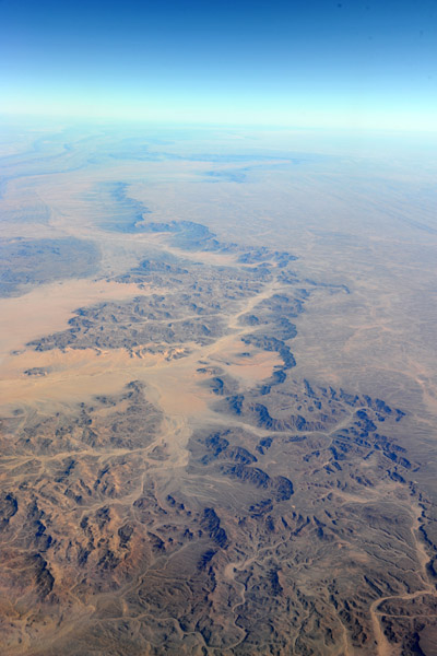
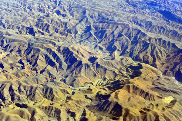
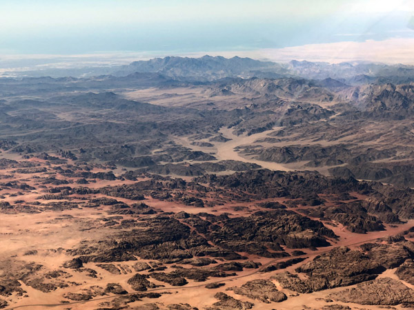
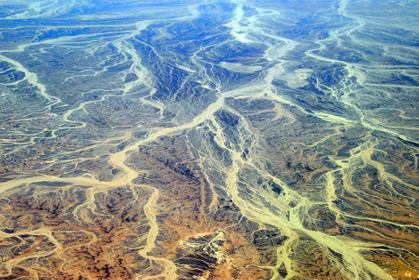 Sinai Desert, Egypt (29 27N/33 58E) |
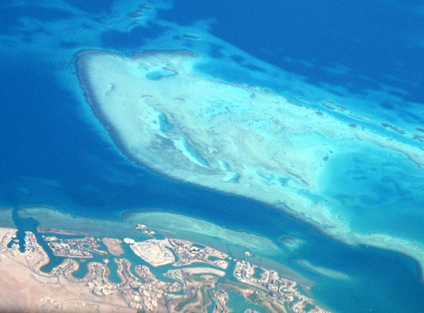
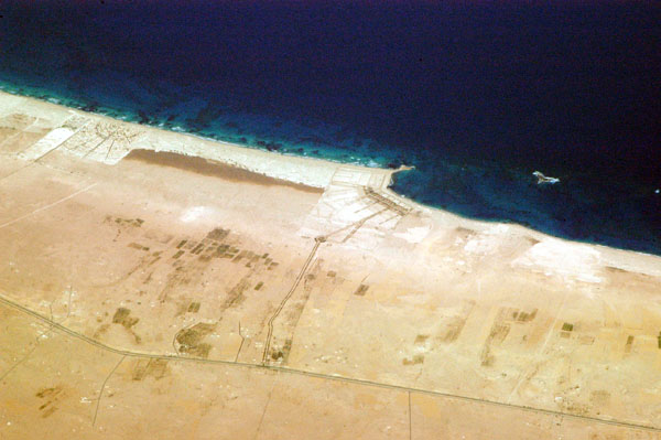
 Hurghada, Egypt |
 Sinai Peninsula, Egypt |
 Sinai Peninsula, Egypt |
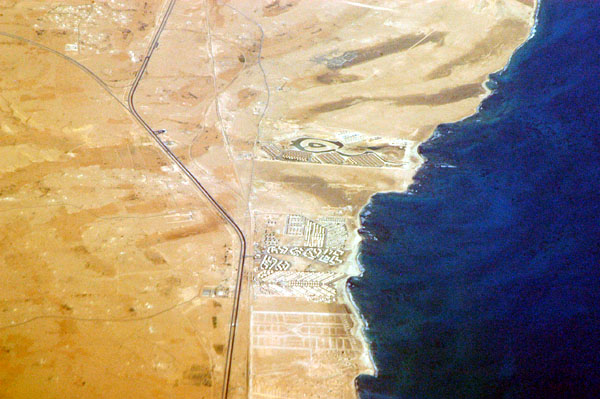
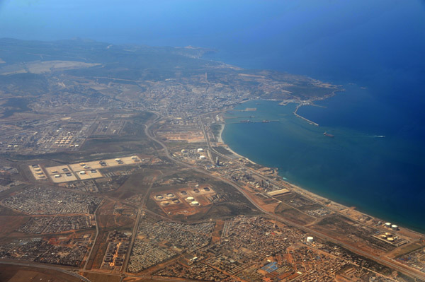
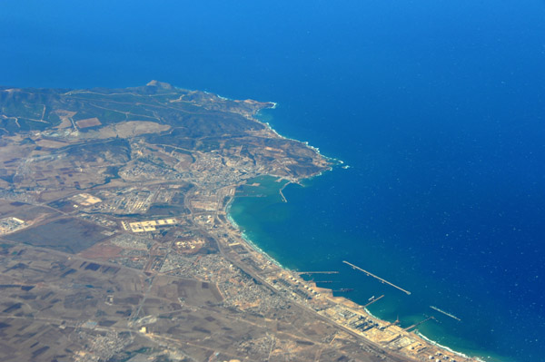
 Hurghada, Egypt |
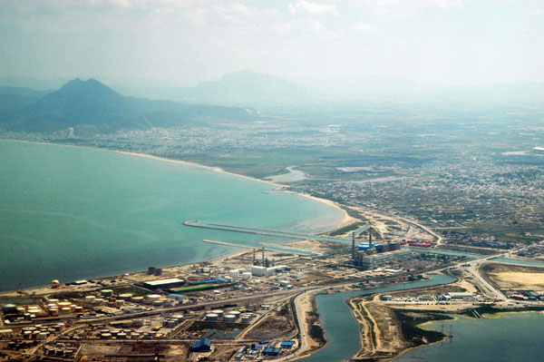
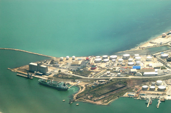
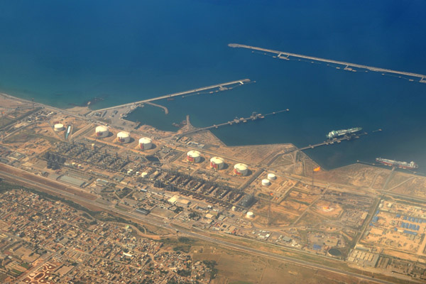
 Port Safaga, Red Sea, Egypt |
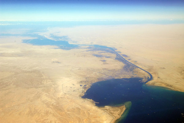
 Suez Canal, Egypt |
 Gulf of Suez and the Suez Canal |
 Suez Canal, Egypt |
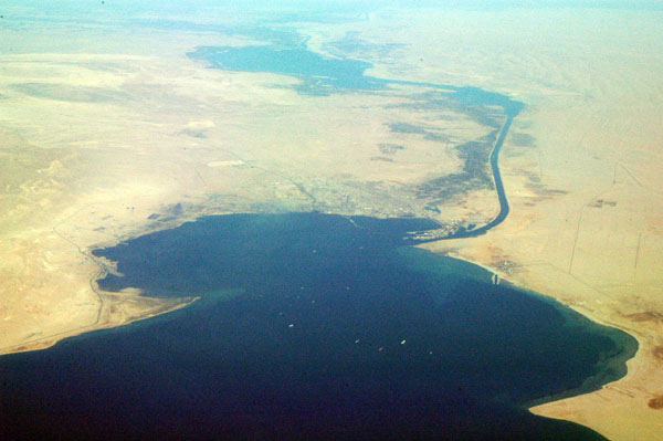
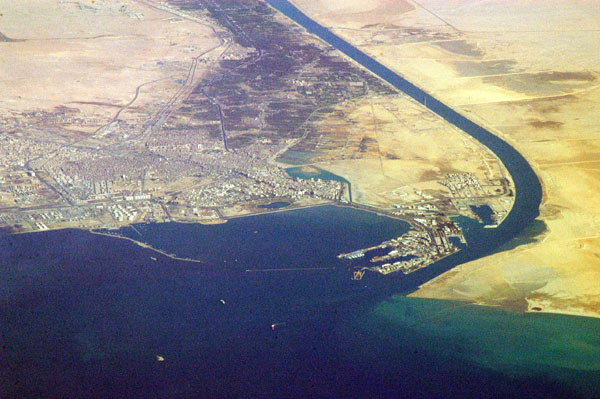
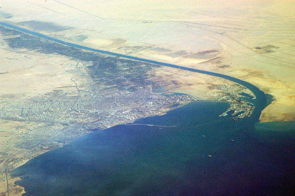
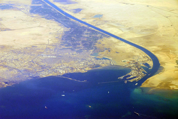
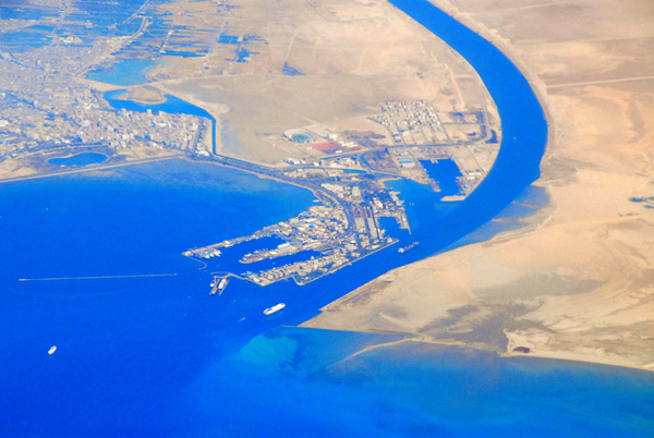 Port of Suez and the Suez Canal |
 Suez Canal, Egypt |
 Suez and the Suez Canal |
 Suez Canal, Egypt, from the Port Suez to Port Said on the Mediterranean |
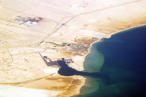 Al-Hafa'ir, Gulf of Suez, Sokhna or North Ain Sukhna |
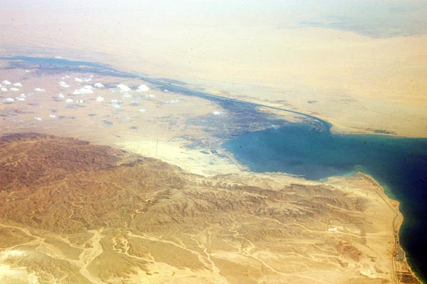
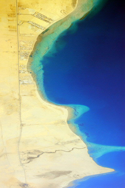 Gulf of Suez, Egypt |
 Suburbs east of Cairo, Egypt |
 Suburbs east of Cairo, Egypt |
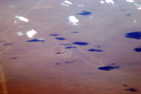
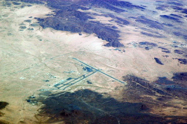
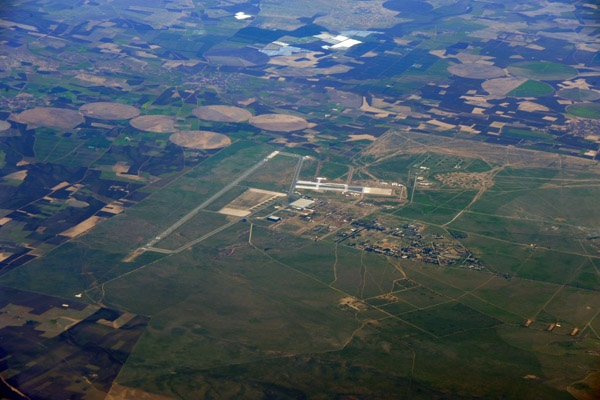
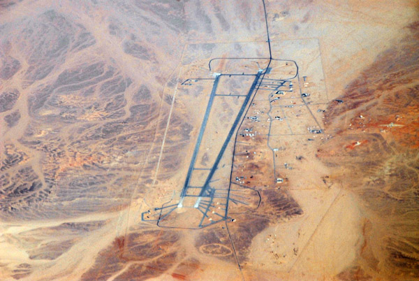 Wadi Al Jandali Airbase, Egypt (30.0504N/31.8395E) |
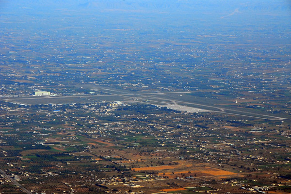
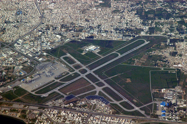
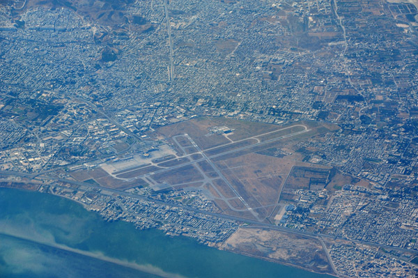
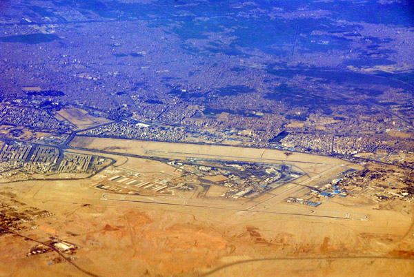 Cairo International Airport (CAI/HECA) |
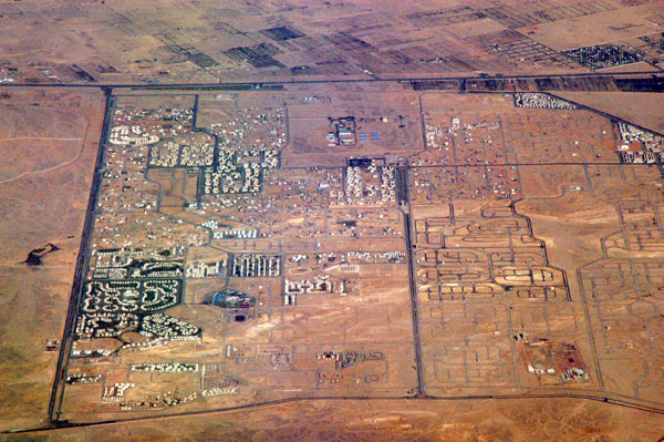
 Madinat ash-Shuruq (El Sherouk) Egypt |
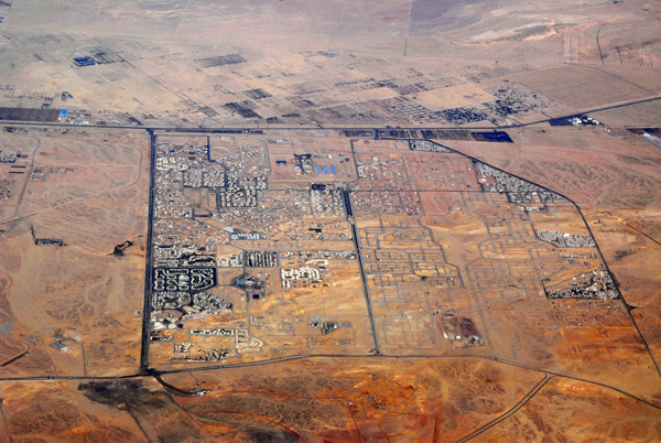
 El Obour City, suburban Cairo NE, Egypt |
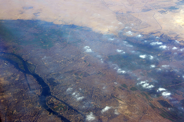
 Nile Valley, south of Cairo, Egypt |
 Saqqara and Memphis, Egypt |
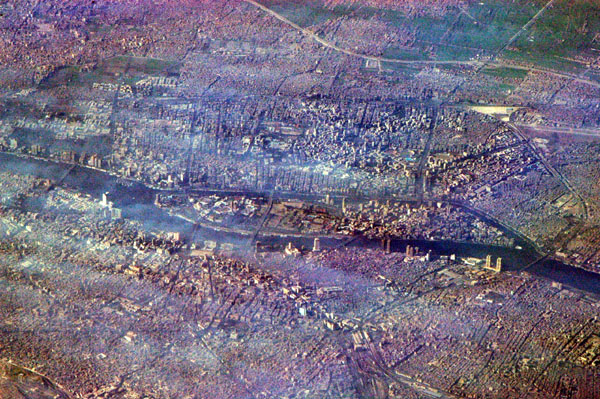 Cairo, Egypt |
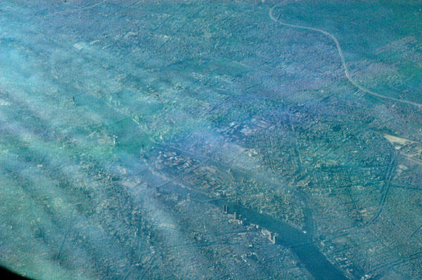 Cairo, Egypt |
 Cairo, Egypt |
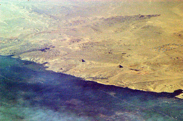
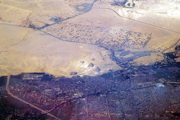
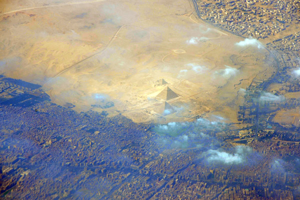
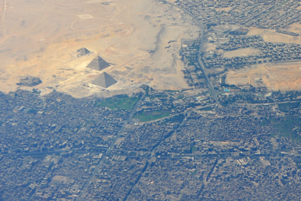
 The Pyramids of Giza from 40,000 ft |
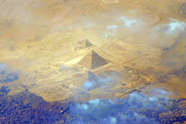
 The Pyramids of Giza, Egypt |
 Near Cairo |
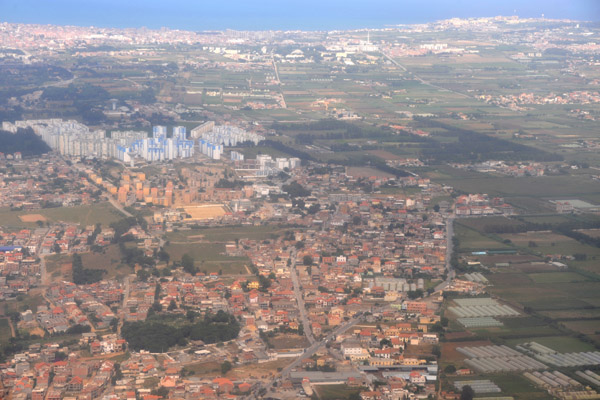
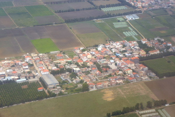
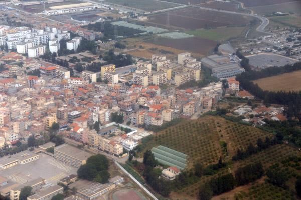
 Nile Delta, Egypt |
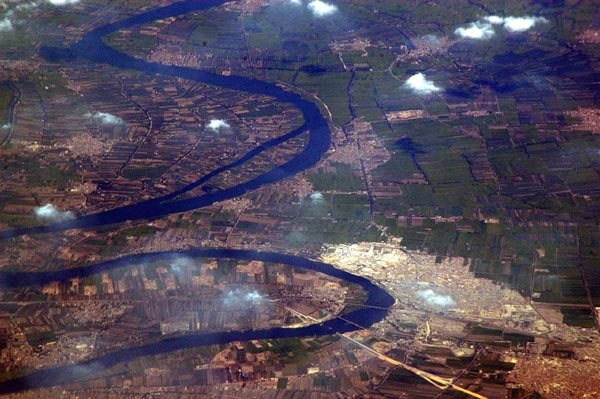 Nile Delta, Egypt |
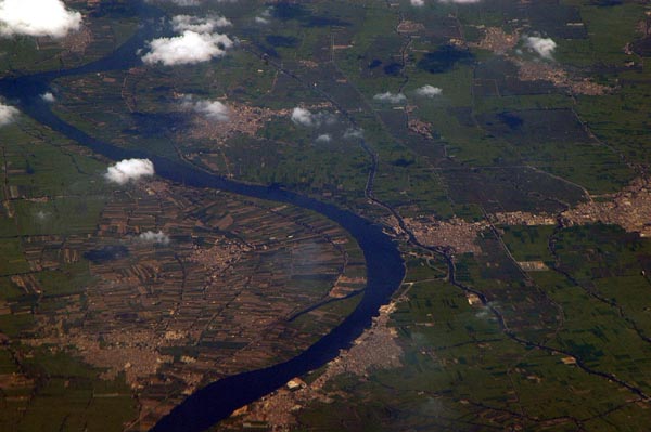 Nile Delta, Egypt |
 Nile Delta, Egypt |
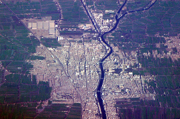 Nile Delta, Egypt |
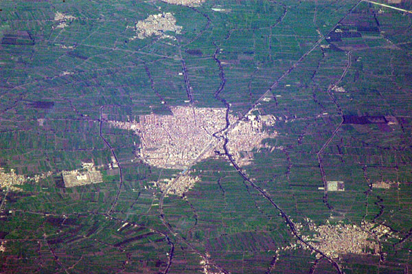 Nile Delta, Egypt |
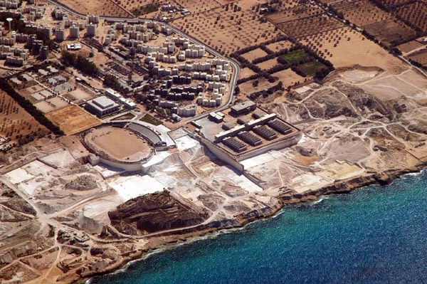
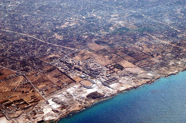
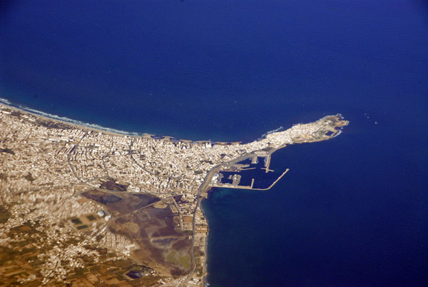
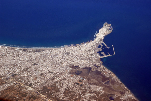
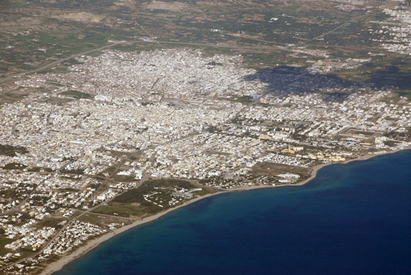
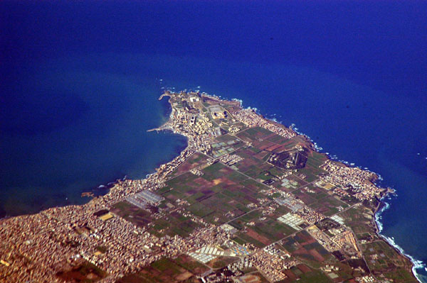
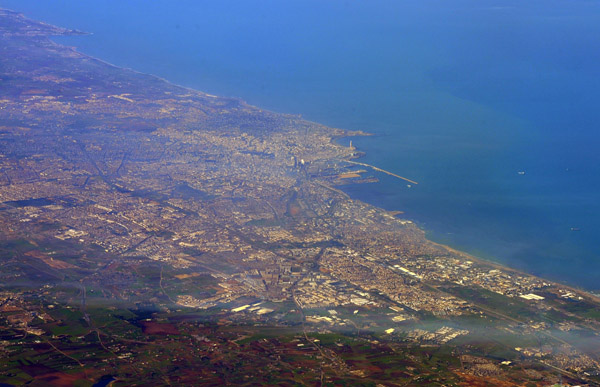
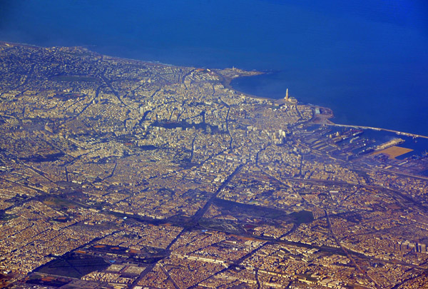
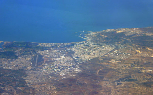
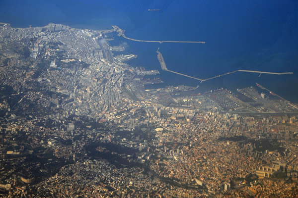
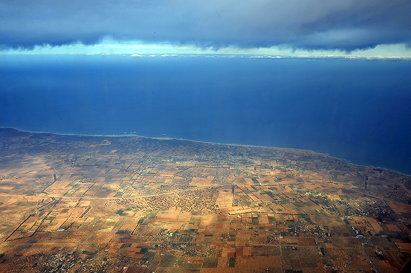
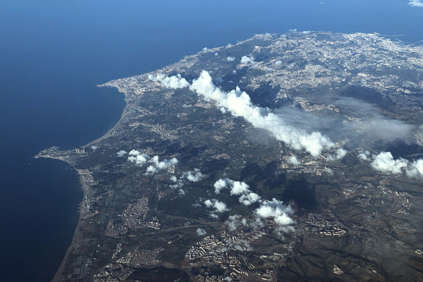
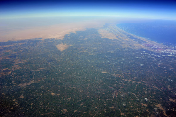
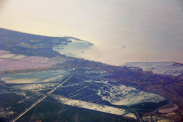
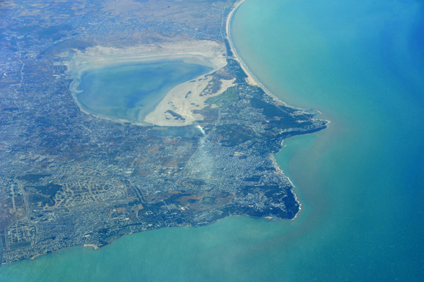
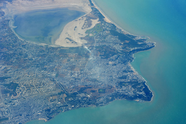
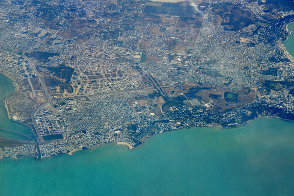
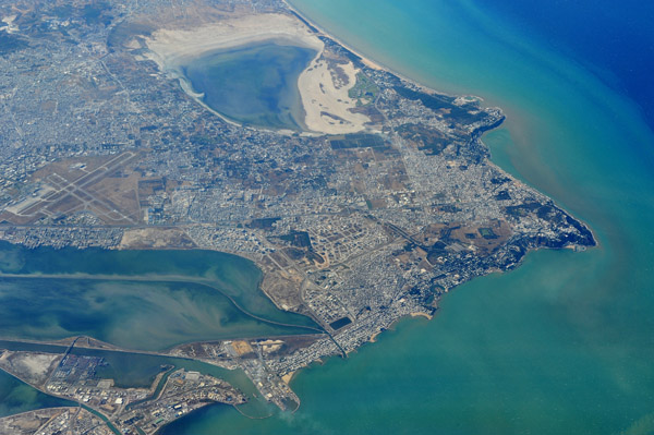
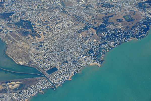
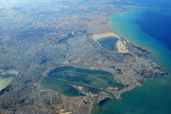
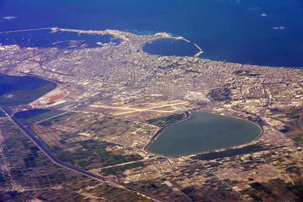
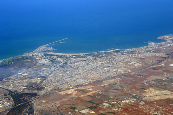
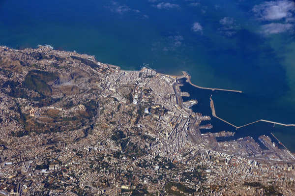
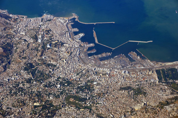
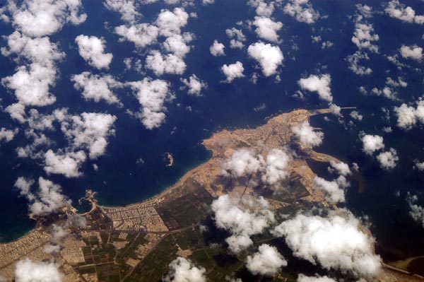 Alexandria, Egypt |
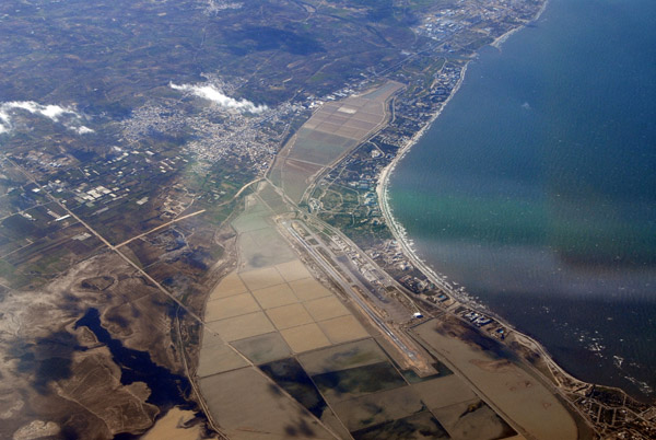
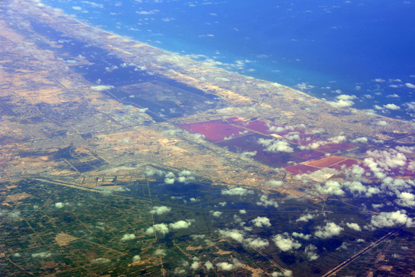
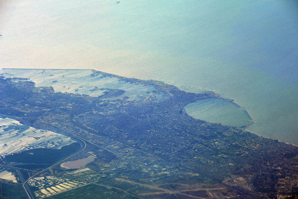
 Alexandria, Egypt (Abu Qir) |
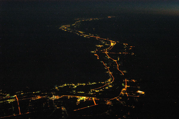
 Luxor, Egypt and the Nile at night |
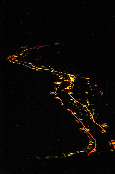 The Nile south of Luxor at night |
 Luxor, Egypt |
 The Nile at night south from Luxor |
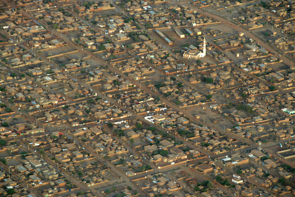
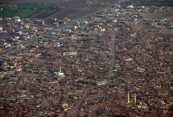
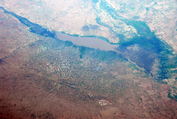
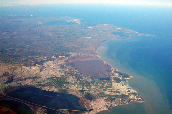
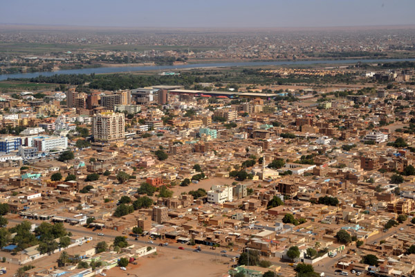
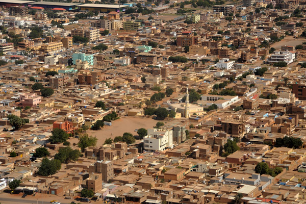
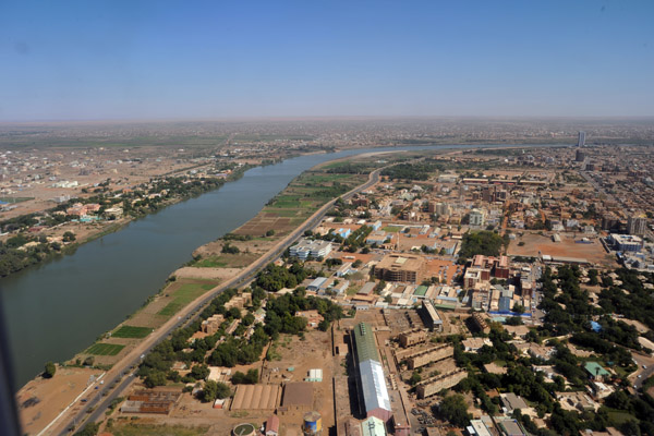
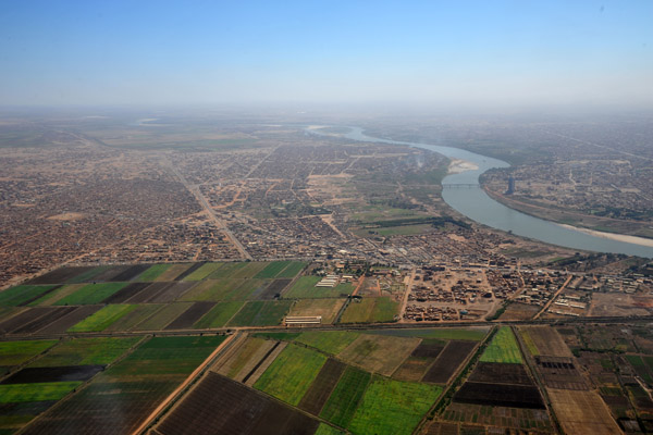
 Khartoum, Sudan |
 Omdurman, Sudan |
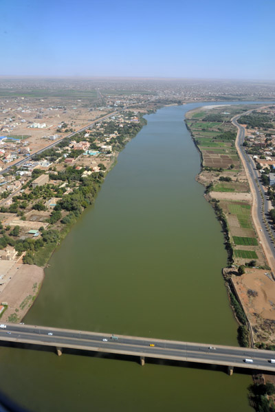
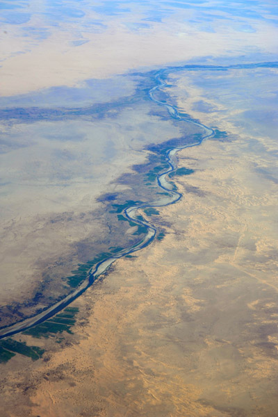
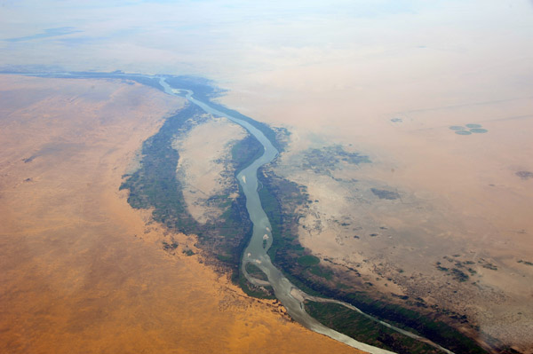
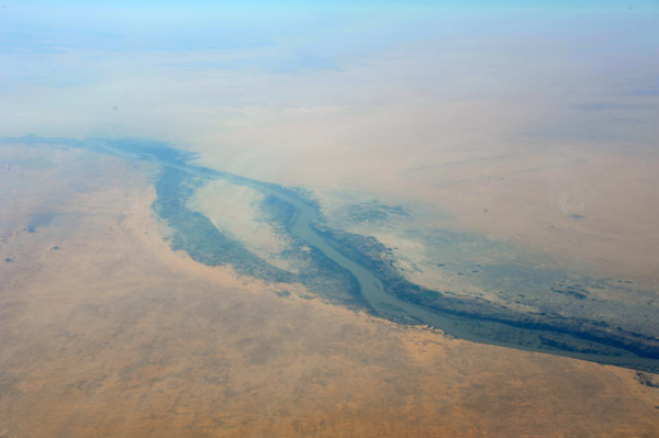
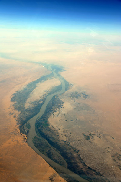
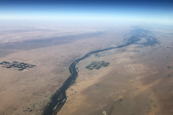
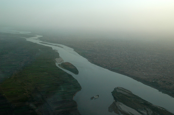 Nile River, north of Khartoum, Sudan |
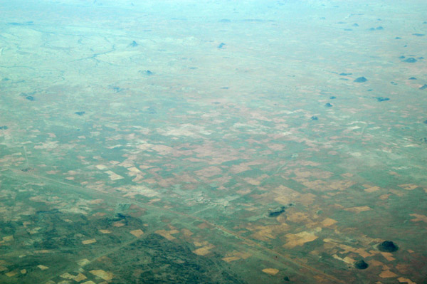
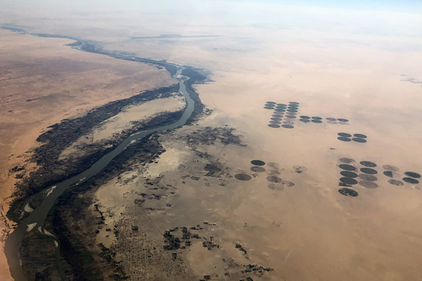
 Irrigated fields along the Nile, north of Khartoum, Sudan |
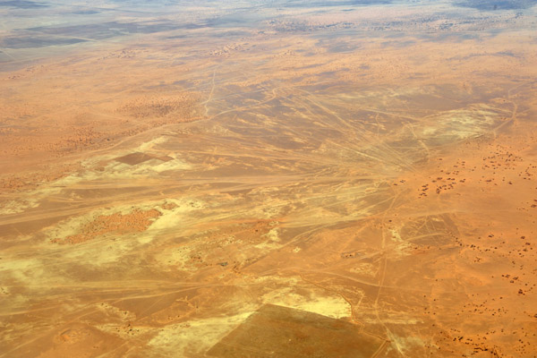
 Desert north of Khartoum, Sudan |
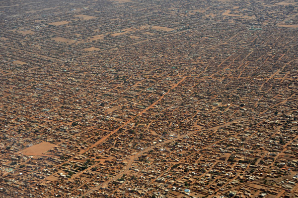
 North Khartoum, Sudan |
 North Khartoum, Sudan |
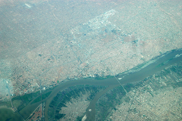
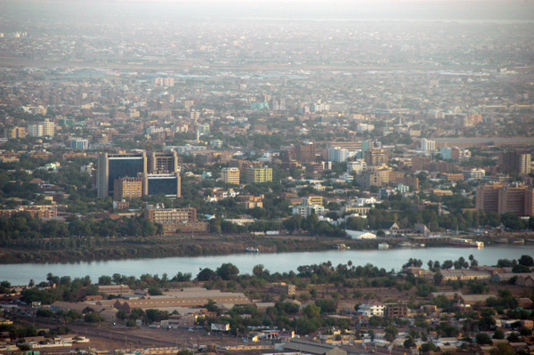
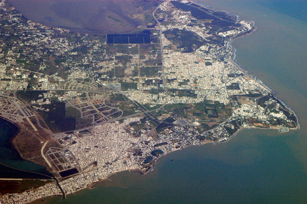
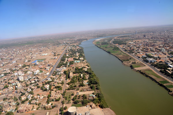
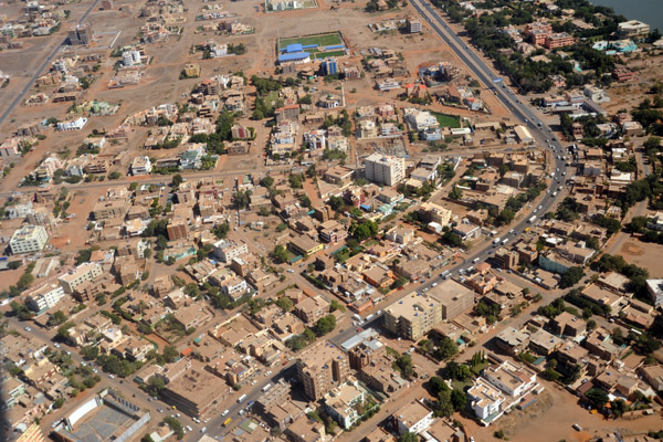
 Khartoum, Sudan |
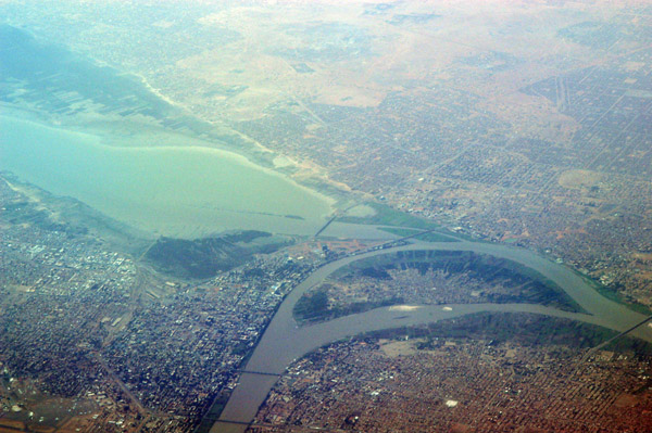
 Nile Confluence, Khartoum, Sudan |
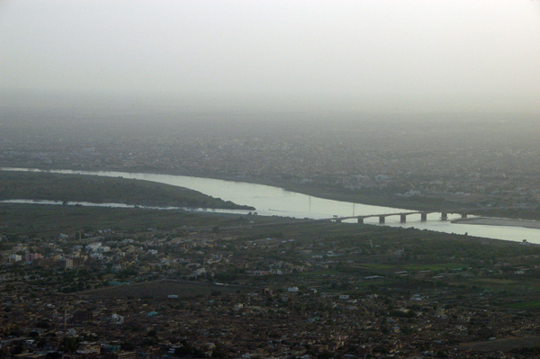
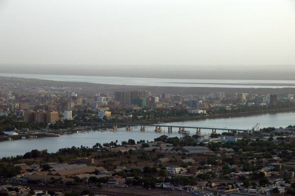
 Bridge to Omdurman, Sudan, on the west bank of the Nile |
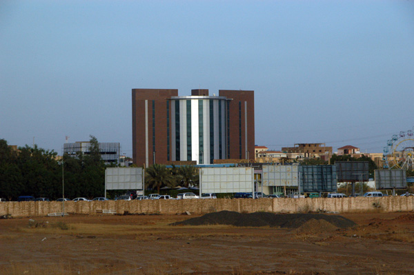
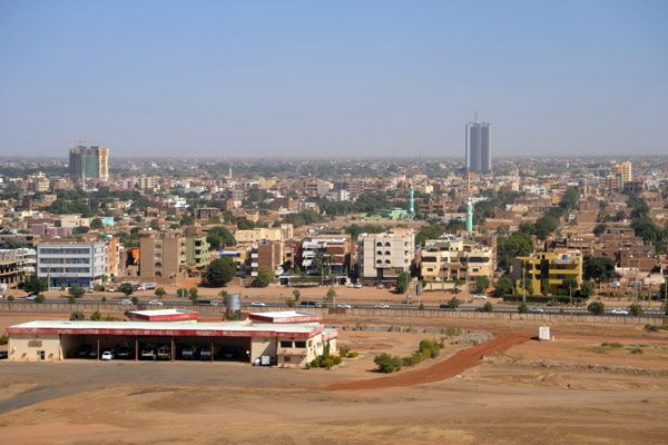
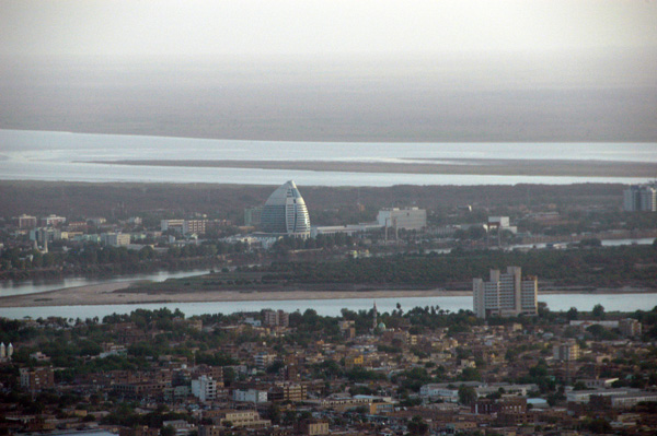 Al Fatih Tower stands out as Khartoum's most modern building |
 Downtown Khartoum along the Blue Nile |
 Downtown Khartoum, Blue Nile, Sudan |
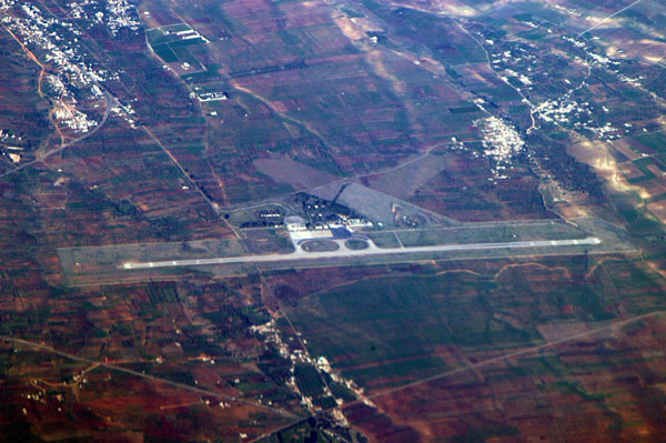
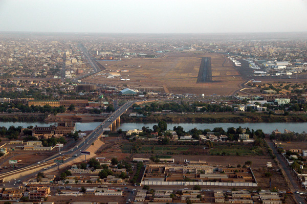 Khartoum Airport Runway 18 |
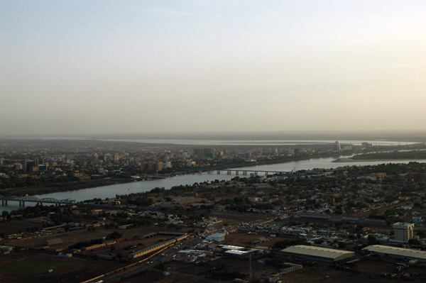 Khartoum, Sudan |
 Khartoum, Sudan |
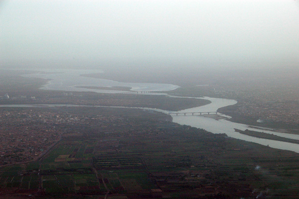
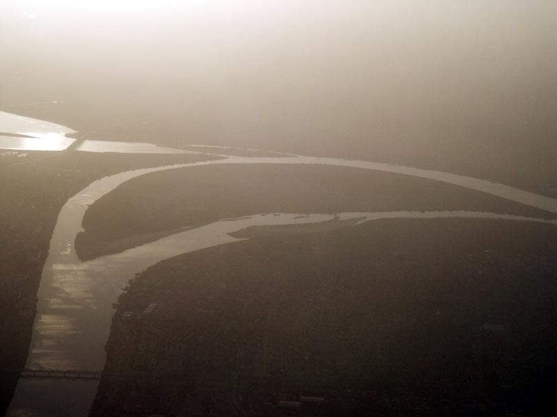 The confluence of the Blue Nile (bottom) and the White Nile at Khartoum, Sudan |
 Khartoum, Sudan |
 Khartoum, Sudan |
 Khartoum, Sudan |
 Khartoum, Sudan |
 Khartoum, Sudan |
 Desert north of Khartoum, Sudan |
 Desert north of Khartoum, Sudan |
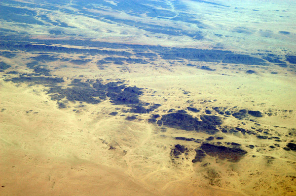
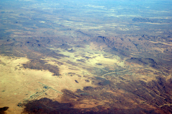
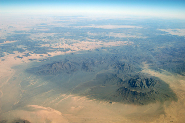
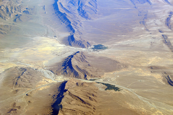
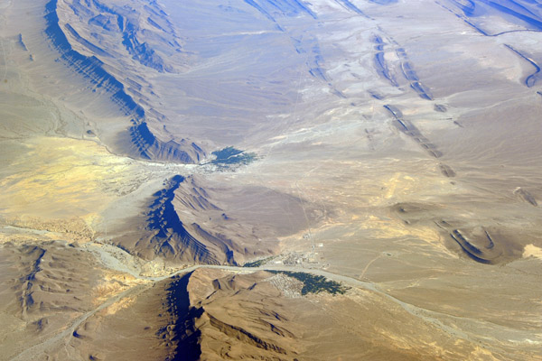
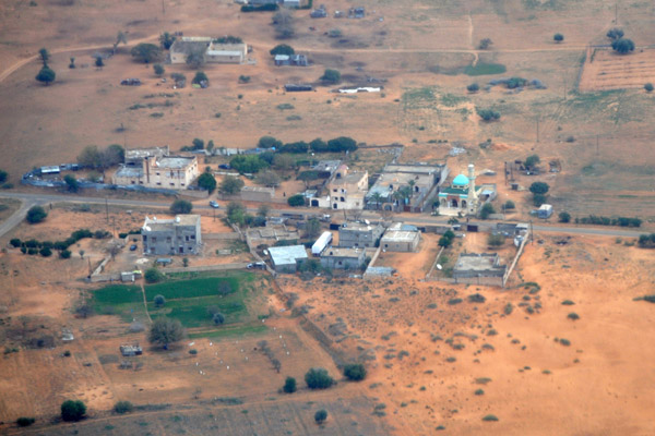
 Darfur, Sudan, around El Gedab (14 15/027 35E) |
 Darfur, Sudan |
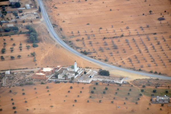
 Darfur, Sudan (crossroads 13 51 04.7N/025 44 46.35E) |
 Darfur, Sudan |
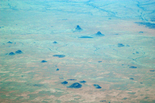
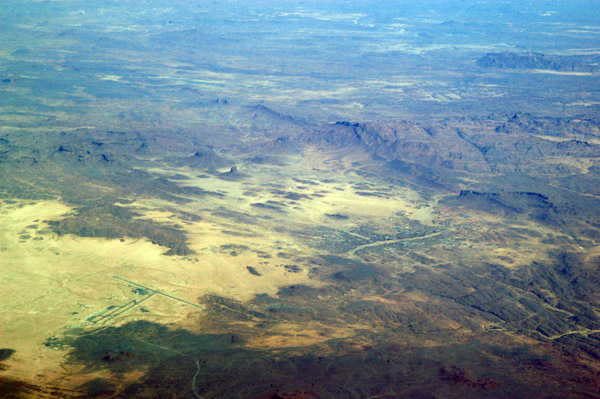
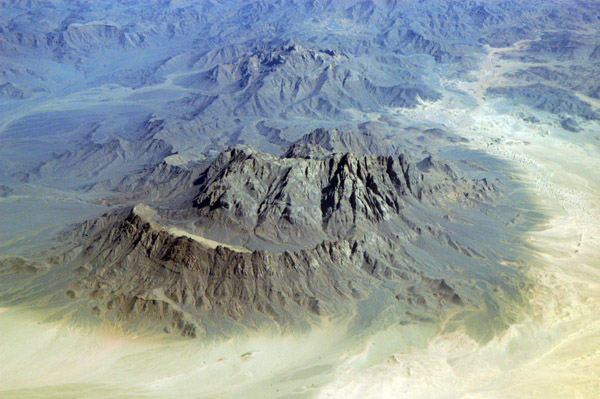
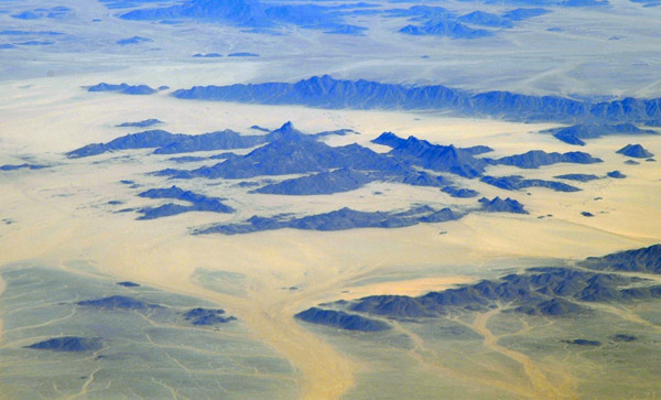
 Jebel Tarnei, Darfur, Sudan near the Chad border |
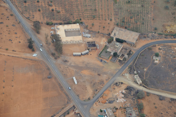
 Abu Zabad, South Kurdufan, Sudan |
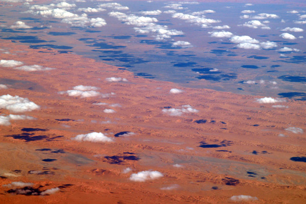
 Clouds over Port Sudan |
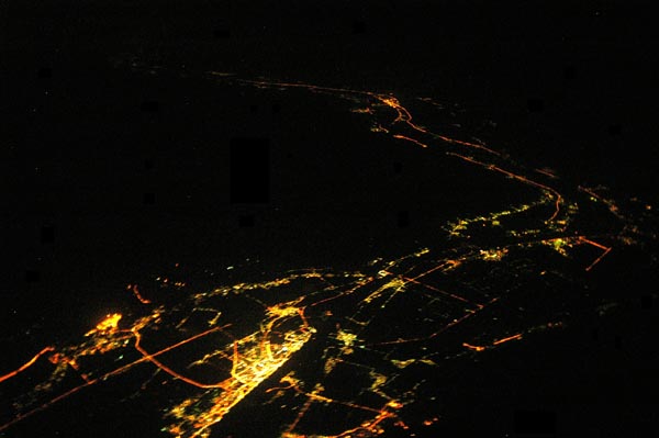
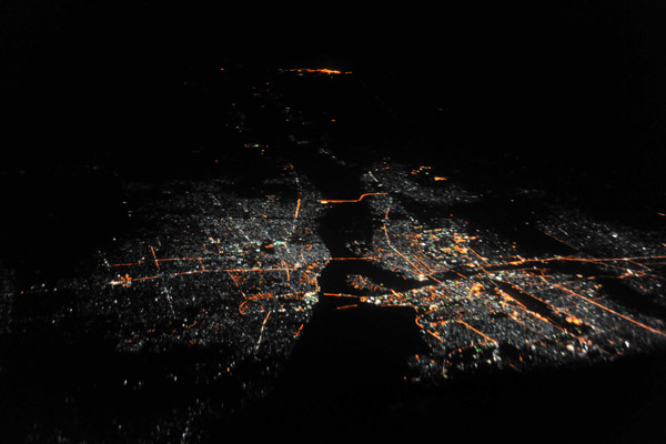
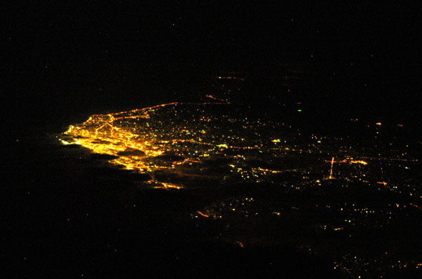
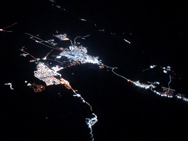
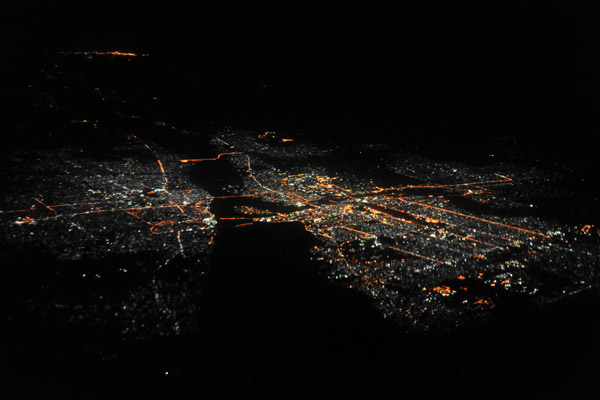 Khartoum and Omdurman, Sudan at night |
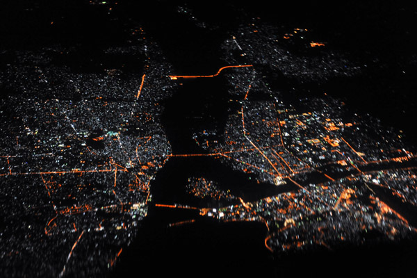
 Khartoum and Omdurman, Sudan at night |
 Khartoum and Omdurman, Sudan at night |
 El Alamein, Egypt, a WWII battlefield |
 Mediterranean coast of Egypt near Zawiyat al Awwamah |
 Egyptian coast from Ras al Hikmah to Zawiyat al Awwamah |
 Zawiyat Sidi Musa and Fuka, Egypt |
 Ras al Hikmah, an Egyptian peninsula on the Mediterranean |
 Resort style development along the Egyptian Mediterranean |
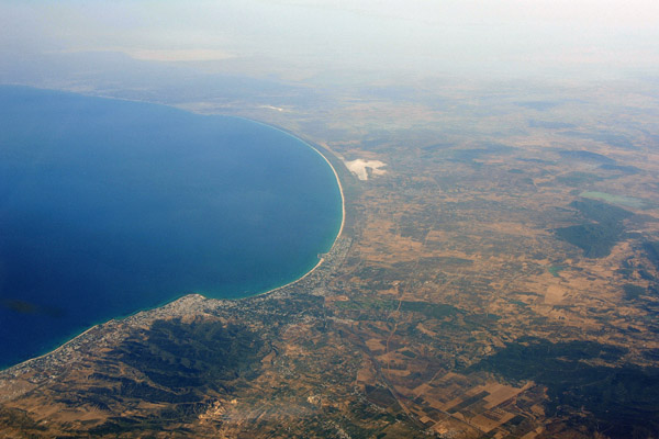
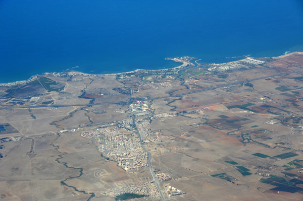
 Marsa Matruh, Egypt |
 Marsa Matruh, Egypt |
 Egyptian Mediterranean coast from El Dab'a / El Alamain west |
 Marsa Matruh, Egypt |
 Marsa Matruh, Egypt |
 Marsa Matruh, Egypt |
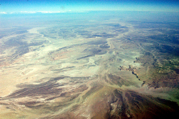
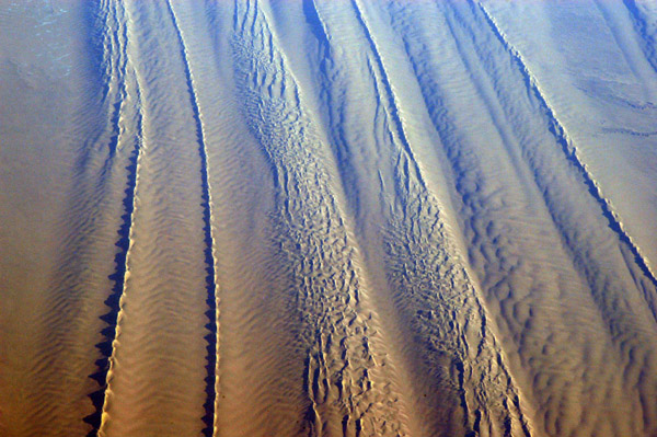
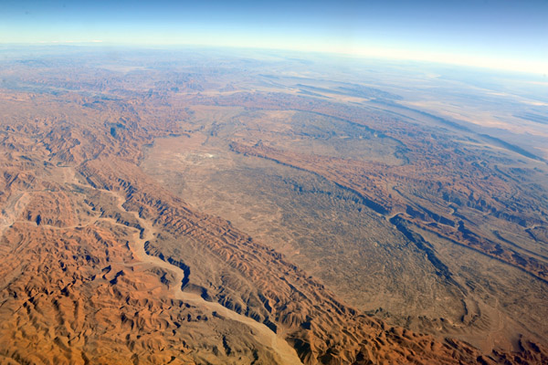
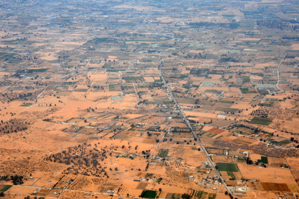
 Libyan (Western) Desert, Egypt (N26 48/E025 37) |
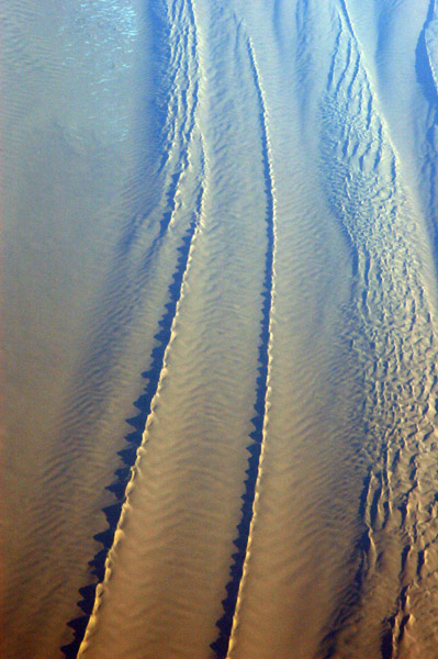
 Dunes, Libyan (Western) Desert, Egypt (N26 48/E025 37) |
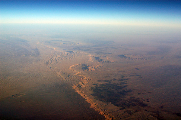
 Libyan (Western) Desert, Egypt |
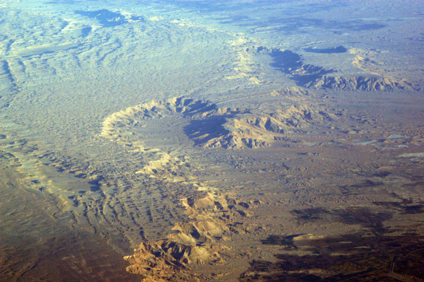
 Libyan (Western) Desert, Egypt |
 Libyan (Western) Desert, Egypt |
 Libyan (Western) Desert, Egypt |
 Libyan (Western) Desert, Egypt |
 Libyan (Western) Desert, Egypt |
 Libyan (Western) Desert, Egypt |
 Libyan (Western) Desert, Egypt |
 Libyan (Western) Desert, Egypt |
 Libyan (Western) Desert, Egypt |
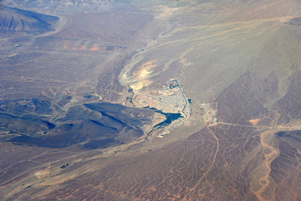
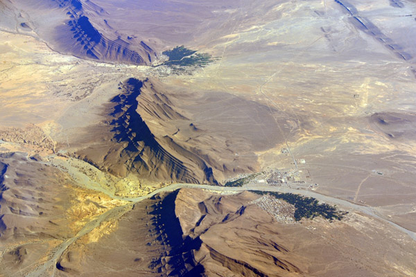
 Dakhla Oasis, Western Desert, Egypt (N26 05/E028 23) |
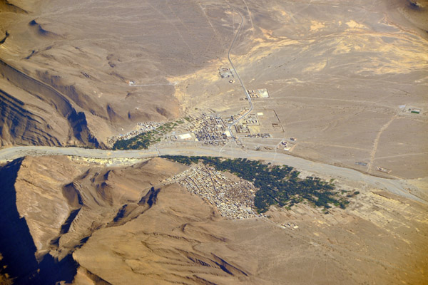
 Dakhla Oasis, Western Desert, Egypt (N26 05/E028 23) |
 Dachla Oasis, Egypt |
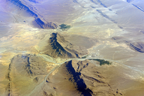
 Dakhla Oasis, Western Desert, Egypt (N26 05/E028 23) |
 Bardiyah, Libya |
 Libyan coast from the Egyptian border northwestward |
 Western Libyan Mediterranean coast |
 Tobruk, Libya, another important site WWII site |
 Tobruk, Libya |
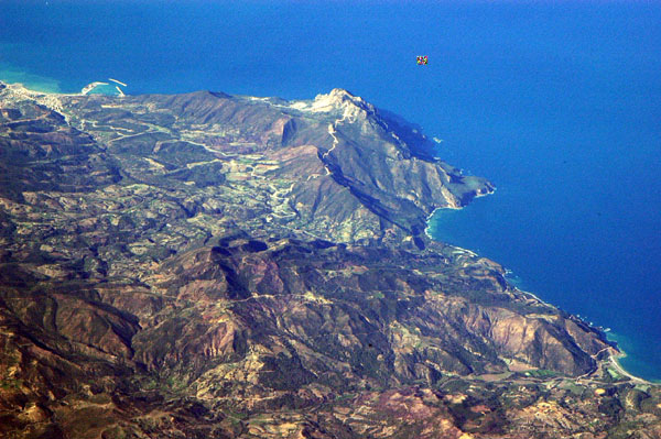
 Al Jabal Al Akhdar region, Libya |
 Near Sayyad, Libya, west of Tripoli |
 Coast of Libya, west of Tripoli |
 Tripolitania, Libya |
 West of Tripoli Airport, Libya |
 West of Tripoli Airport, Libya |
 Approach to Runway 9 at Tripoli Airport, Libya (HLLT) |
 Tripoli, Libya |
 Tripoli, Libya |
 Tripoli Airport, Libya |
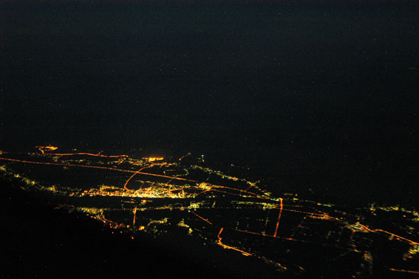
 Tripoli, Libya, at night |
 Idhan Awarbi Desert, western Libya |
 Idhan Awarbi Desert, western Libya |
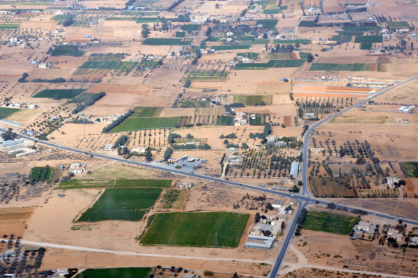
 Irrigation, Idhan Awarbi Desert, Sabah, Libya |
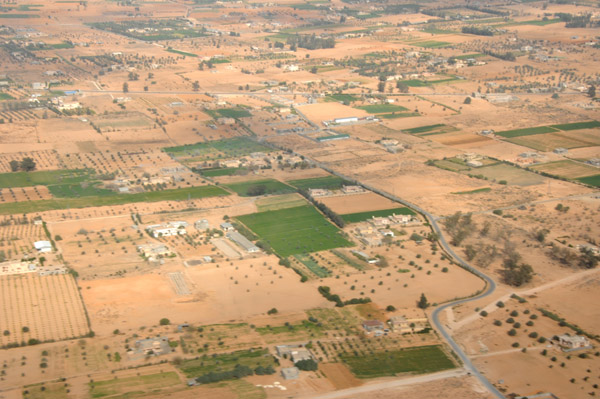
 Irrigation, Idhan Awarbi Desert, Sabah, Libya |
 Al Khuwaymat Airport, Libya |
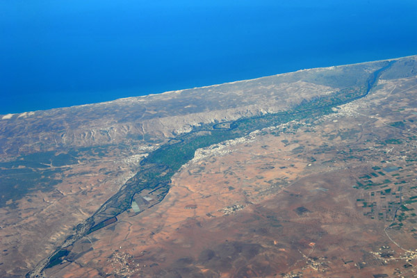
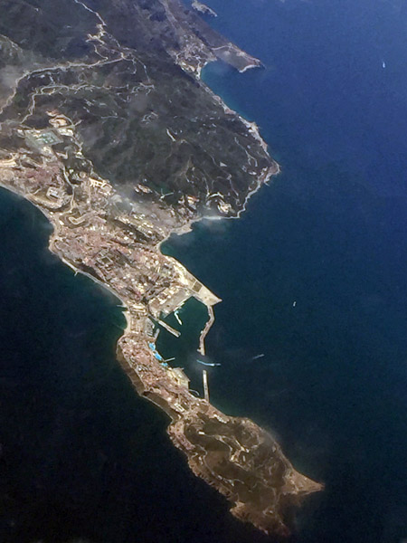
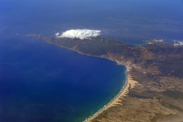
 Jerba, Tunisia (Jazirat Jarba) |
 Jerba, Tunisia |
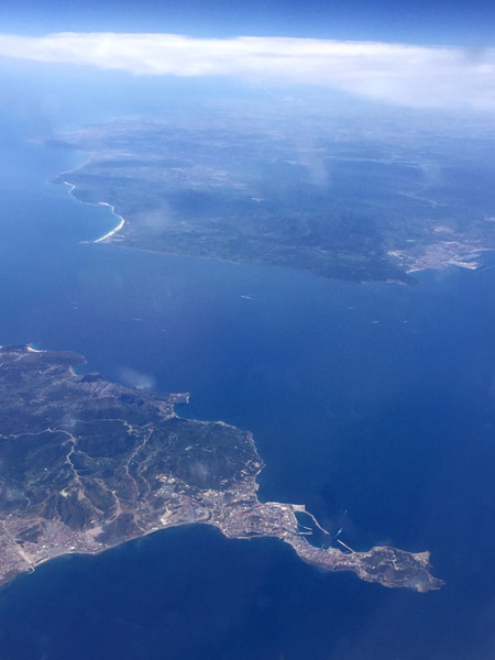
 Southern coast of Tunisia |
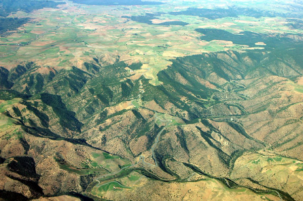
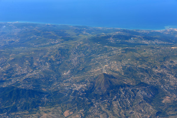
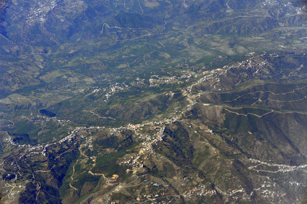
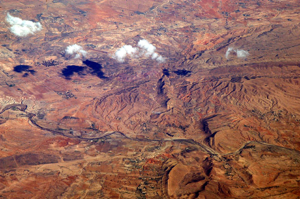 Atlas Mountains, Central Tunisia |
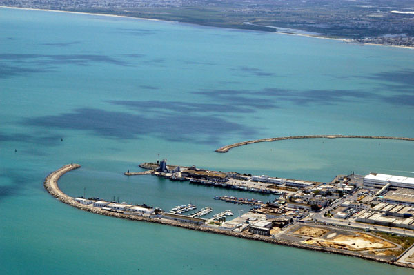
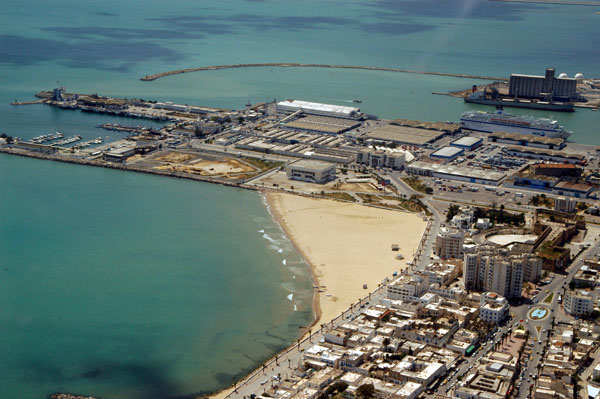
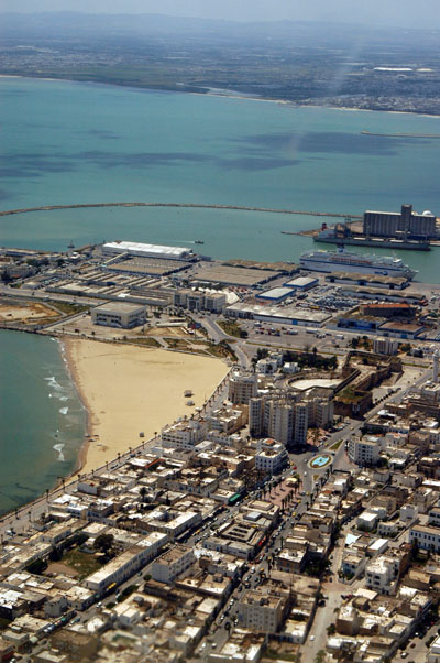
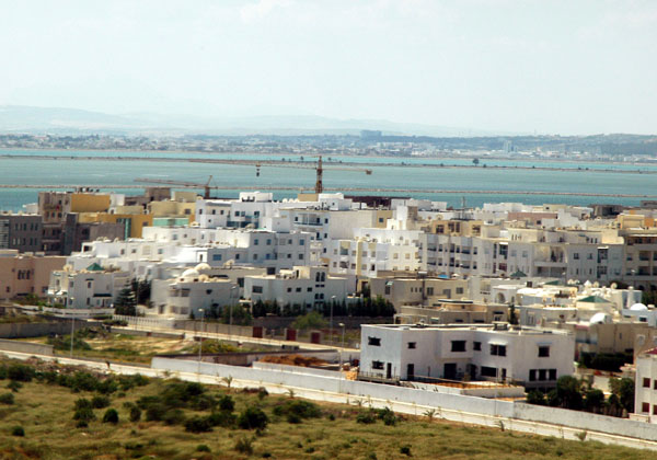
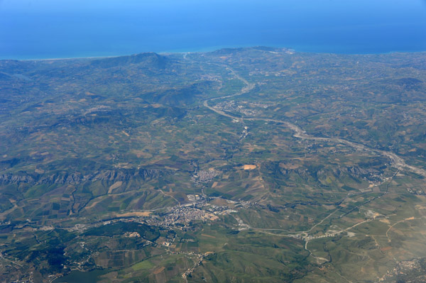
 Mahdia, Tunisia |
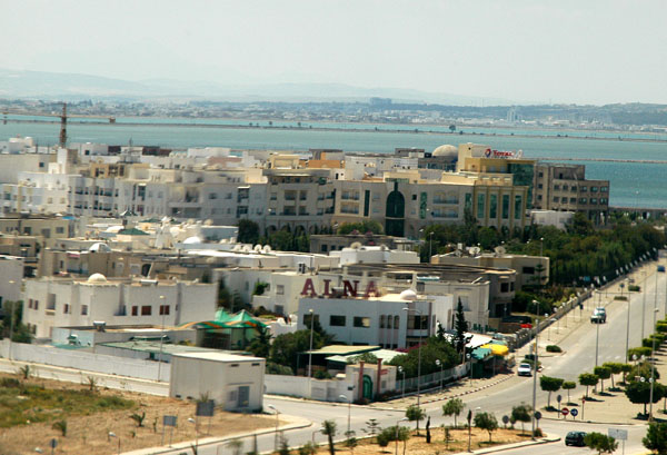
 Mahdia, Tunisia |
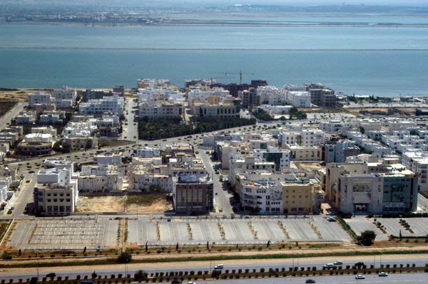
 Mahdia, Tunisia |
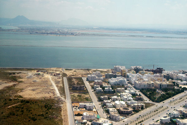
 Jazirat Qurayyat - Kuriat Island (Conigliera) Tunisia |
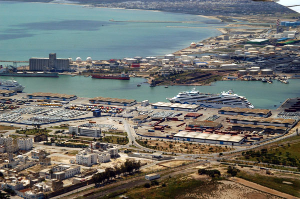
 Habib Bourguiba International Airport, Monastir, Tunisia (MIR) |
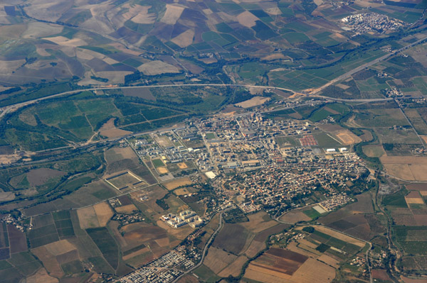
 Nabeul, Tunisia |
 Nabeul, Tunisia |
 New subdivision, Nabeul, Tunisia |
 Nabeul, Tunisia |
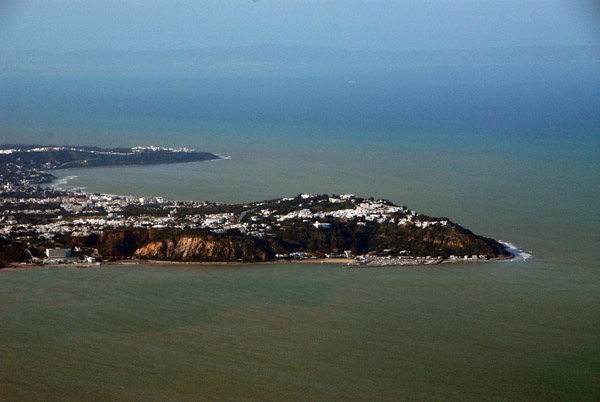 Sidi Bou Said, Tunisia |
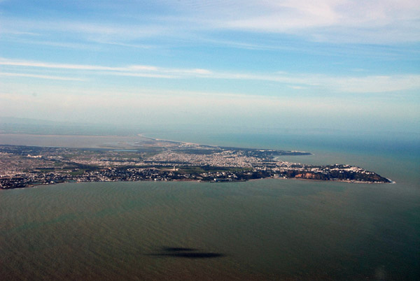 Carthage to Sidi Bou Said, Tunisia |
 Carthage-Hannibal, Tunis, Tunisia |
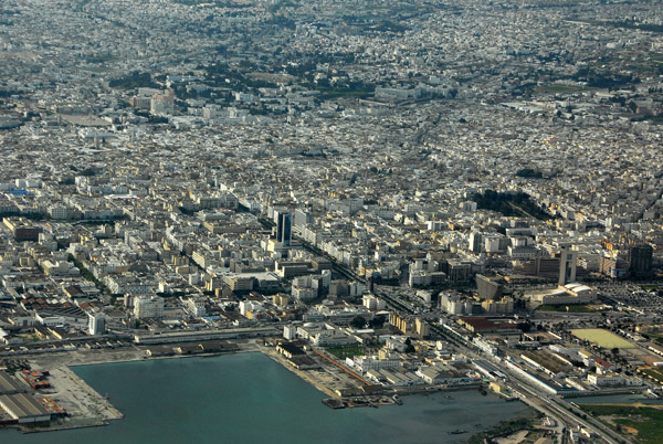 Downtown Tunis |
 Madha, Tunisia |
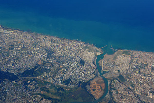
 Tunis, Tunisia |
 Carthage-Hannibal, Tunis, Tunisia |
 Tunis Airport, Tunisia |
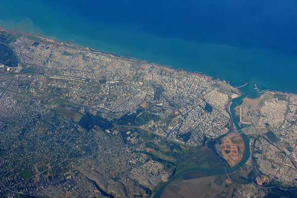
 Tunis, Tunisia |
 Tunis, Tunisia |
 Tunis, Tunisia |
 Port of Tunis, Tunisia with a cruise ship |
 Tunis, Tunisia |
 Tunis, Tunisia |
 Tunis, Tunisia |
 Tunis, Tunisia |
 Tunis, Tunisia |
 Gulf of Tunis |
 Tunis, Tunisia |
 Cap Bon, Tunisia |
 Cap Bon, Tunisia |
 Kelibia, Tunisia |
 Scenic Collo, Algeria, on the Bay of Tamanert |
 Atlas Mountains, Eastern Algeria |
 Atlas Mountains on the Algerian Mediterranean coast |
 Massif des Babors, Atlas Mountains, Algeria |
 Massif des Babors, Atlas Mountains, Algeria |
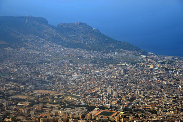
 Algiers, Algeria |
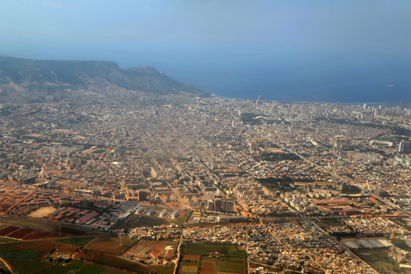
 Algiers, Algeria |
 Tamentfoust, Algeria, on the eastern end of the Bay of Algiers |
 Algiers, Algeria |
 Around Tenes, Algeria, between Algiers and Oran |
 Algerian coast near Tenes |
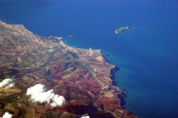
 Beni Saf, Algeria |
 Algerian coast west of Beni Saf (35N/1W) |
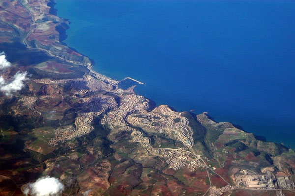
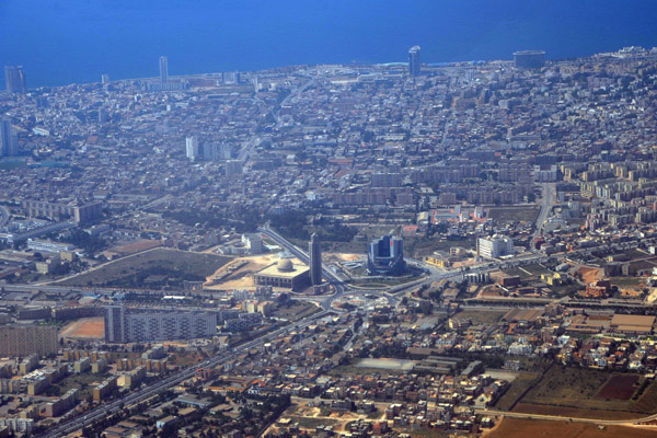
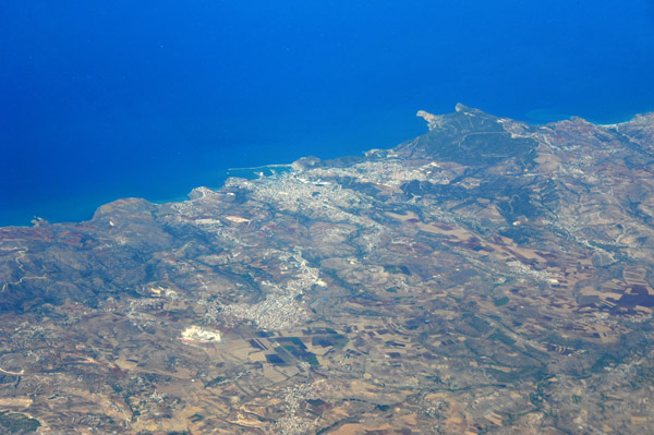
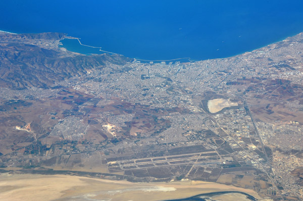
 Oran, Algeria |
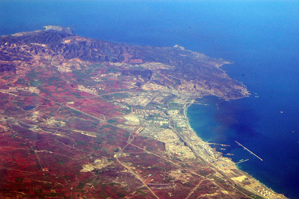
 Oran, Algeria |
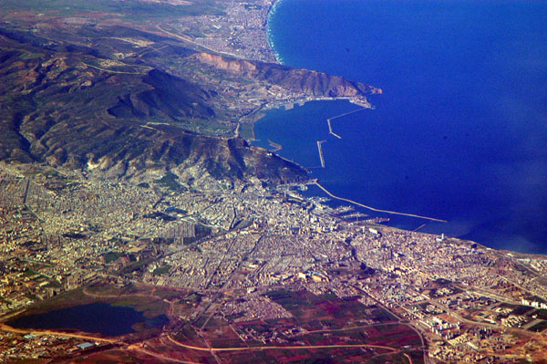
 Oran, Algeria |
 Oran, Algeria |
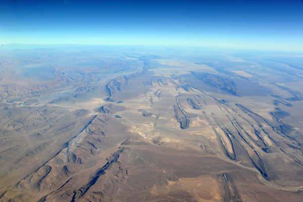
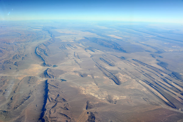
 Plateau in southern Algeria (21 16N/002 48 44E) |
 Sahara of southern Algeria (21 21 48N/003 13 33E) |
 Sand dune built up against rocky outcropping, southern Algeria, Sahara (21 55 40N/004 14 40E) |
 Sahara south of Tamanrasset, Algeria (22 19 16N/004 49 12E) |
 Hoggar (Ahaggar) Mountains, south of Tamanrasset, Algeria (22 24 50N/005 20 59E) |
 Tamanghasset, Algeria |
 Tamanrasset Airport, Algeria (DAAT/TMR) |
 Tamanghasset, Algeria |
 Tamanrasset, Algeria |
 Northwest of Tamanrasset, Algeria (22 57 17N/005 18 00E) |
 Hoggar Mountains, east of Tamanrasset, Algeria (22 52 18N/005 40 04E) |
 Wadi in the Hoggar Mountains (Tamanrasset Massif) Algeria (22 11 32N/006 00 01E) |
 Aokassit, Ahaggar Mountains, Tamanrasset Massif, Algeria (23 25 50N/006 23 40E) |
 Tihilafine, Hoggar Mts, Tamanrasset Massiv, Algeria (23 28 50N/006 24 02E) |
 Ahaggar Mountains, Tamangrasset Massif, Algeria |
 Jebel Tahount, Algeria (23 53 12N/006 12 39E) |
 Algerian Sahara looking NW seen from 23 54N/006 20E |
 Algerian Sahara - Jebel Seimane (23 57N/006 13E) |
 Abelouah, Algeria looking SSE (23 55N/006 31E) |
 Jebel Telerhteba, Algeria (24 09 52N/006 51 24E) |
 Djebel Telerhteba, Algeria (24 09 52N/006 51 24E) |
 Jebel Telerhteba, Algeria (24 09 52N/006 51 24E) |
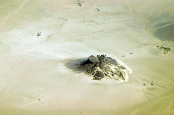 Outcropping in the Algerian Sahara |
 Sandy desert around Tiouririne, Algeria (25 23 44N/006 58 23E) |
 Sandy desert around Tiouririne, Algeria (25 23 44N/006 58 23E) |
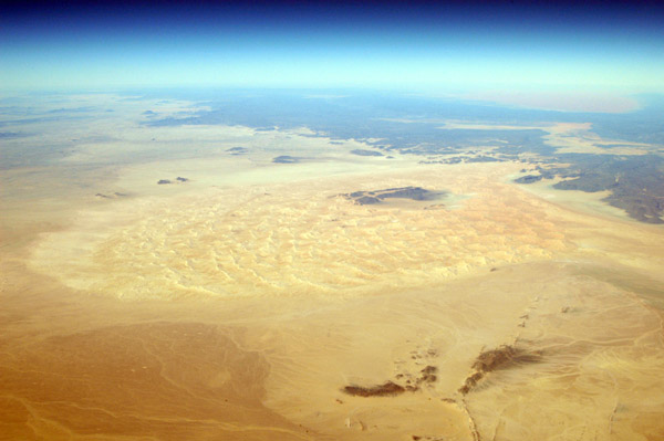
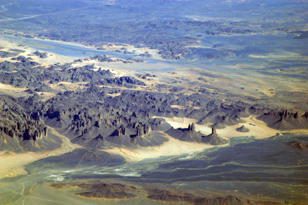
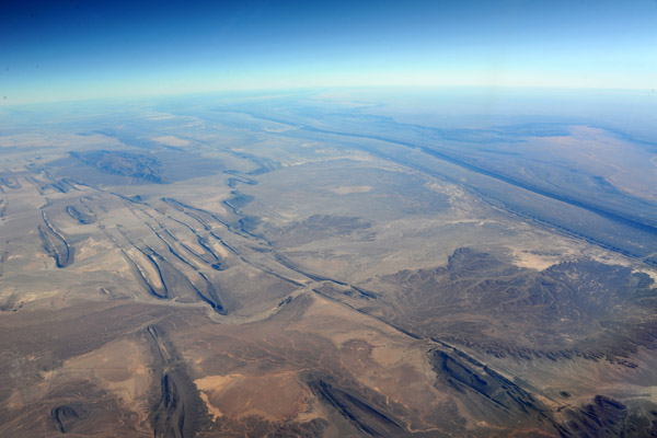
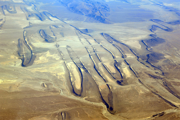
 Tassili A'Ajjer National Park, Algeria (25 23 44N/006 58 23E) |
 Tassili N'Ajjer National Park, Algeria (SW) |
 Small oasis, Tassili N'Ajjer National Park, Algeria (25 16 20N/007 14 00E) |
 Tassili N'Ajjer, Ti-n-Haberti, Algeria (25 24 44N/007 12 09E) |
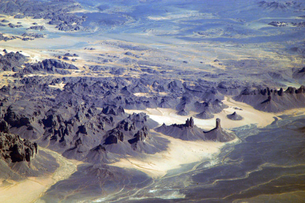
 Tassili A'Ajjer National Park, Algeria |
 Tassili A'Ajjer National Park, Algeria |
 Tassili Plateau World Heritage Site, Algeria |
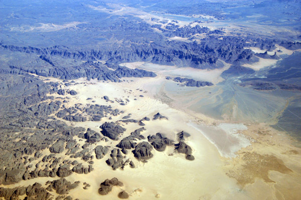 Southern end of the Tassili Plateau, Algeria |
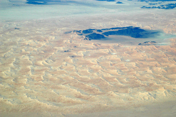
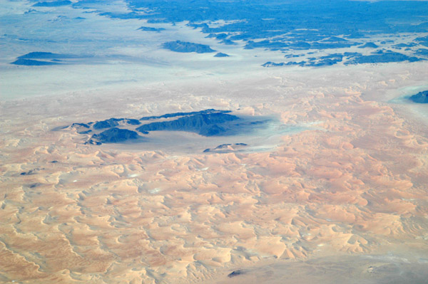
 Tassili N'Ajjer National Park, Gara Takchilalene, (25 16 15N/007 52 30E) Algeria |
 Tassili A'Ajjer National Park, Algeria |
 Tassili A'Ajjer National Park, Algeria |
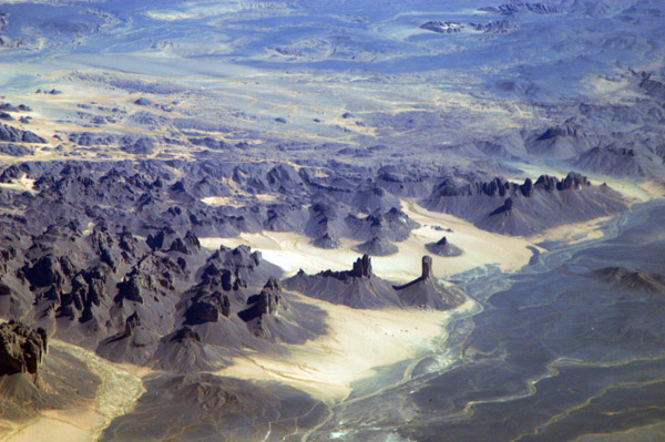
 Tassili Plateau, Algeria (25 27 33N/007 04 06E) |
 Tassili Plateau, Algeria (25 27 33N/007 04 06E) |
 Looking east from overhead Illizi, Algeria |
 Sahara near I-n-Amenas, Algeria on the Libyan border |
 Sahara near I-n-Amenas, Algeria on the Libyan border |
 Facility on the Algerian side of the Libyan border (27 47 10N/009 53 28E) |
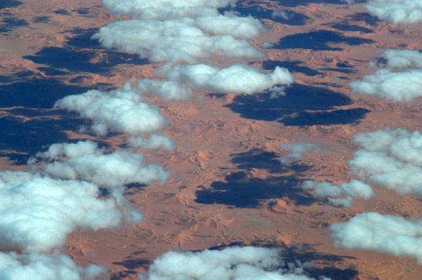
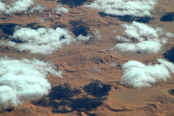
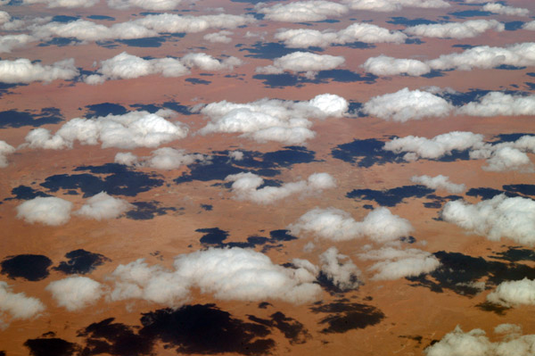 Clouds over the Sahara, In Amenas, Algeria-Libya border region (N27 50/E009 31) |
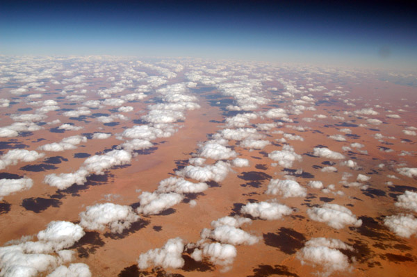 Clouds over the Sahara, In Amenas, Algeria-Libya border region (N27 50/E009 31) |
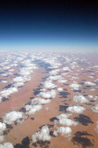 Clouds over the Sahara, In Amenas, Algeria-Libya border region |
 Idhan Awarbi Desert, western Libya |
 Eastern Morocco, looking towards the Spanish enclave of Melilla |
 Spanish north African enclave of Melilla |
 Berkane, Morocco |
 Reservoir east of Fez, Morocco |
 Fez, Morocco |
 Medina of Fez, Morocco |
 Old and New town, Fez, Morocco |
 Fez, Morocco |
 Fez Airport, Morocco |
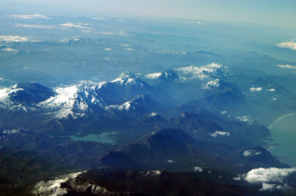
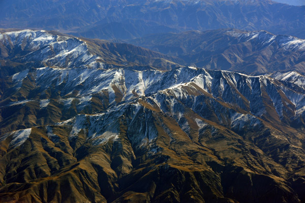
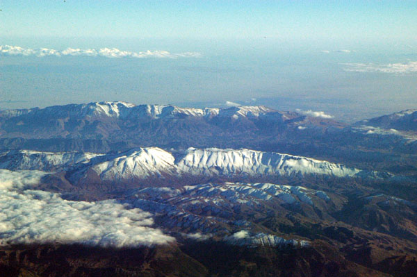 Fresh snow on the High Atlas Mountains south of Fez, Morocoo |
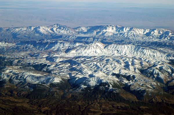 Atlas Mountains south of Fez, Morocco |
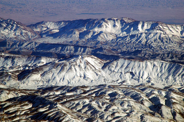 Atlas Mountains south of Fez, Morocco |
 Moroccan town between Meknes and Casablanca |
 Green landscape approaching Casablanca, Morocco |
 Landing to the north in Khartoum with the airport fire station |
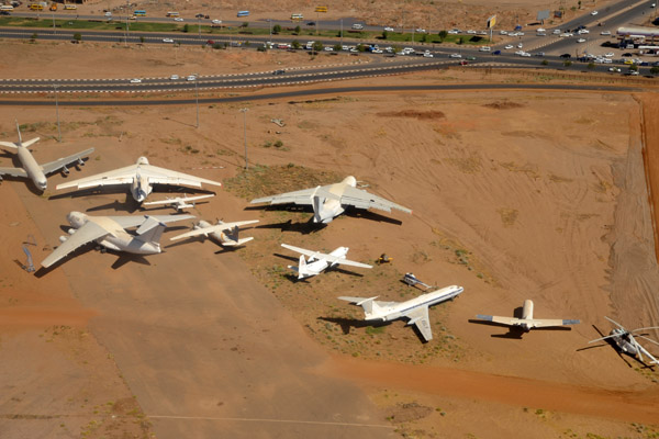 Derelict aircraft at Khartoum (HSSS/KTM) |
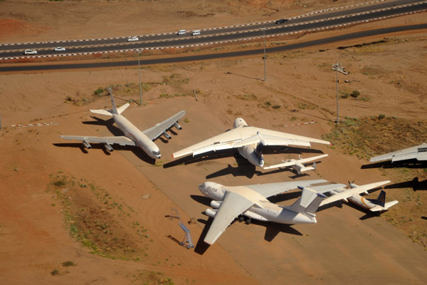 Alfa Airlines Ilyshin IL-76 (ST-EDW) and Sudanese States Aviation B707 at Khartoum |
 Khartoum, Sudan |
 Khartoum, Sudan |
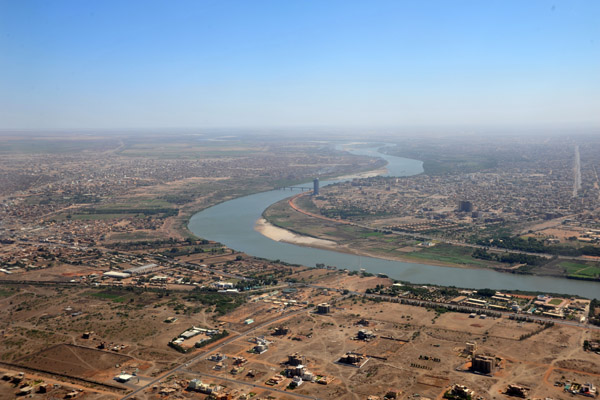
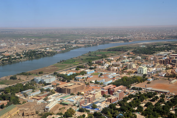 Khartoum and the Blue Nile |
 Khartoum and the Blue Nile |
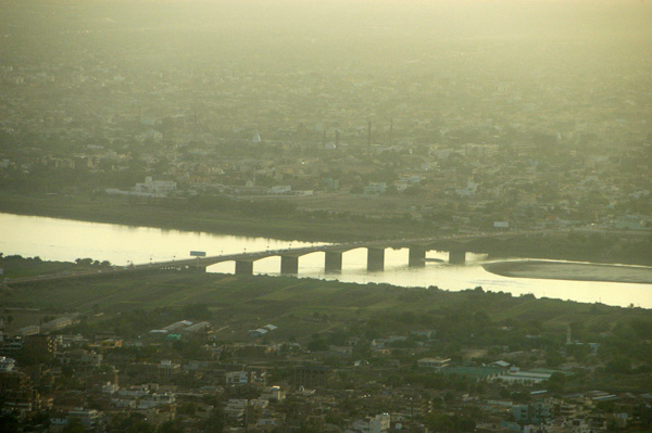
 Crossing the Blue Nile, Khartoum |
 The Blue Nile, Khartoum |
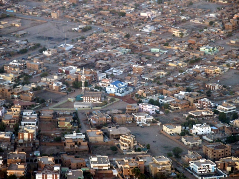
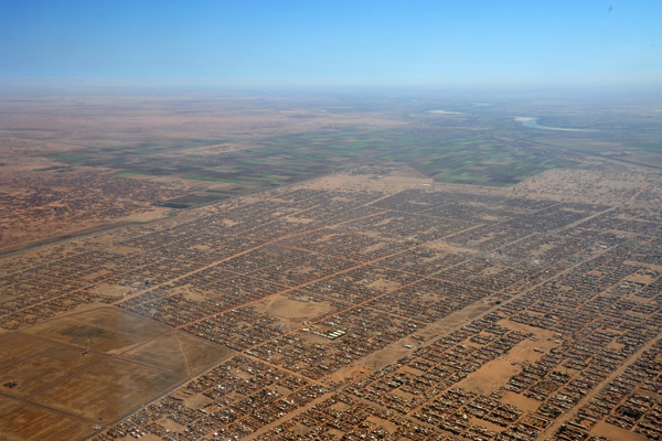
 North Khartoum Sudan |
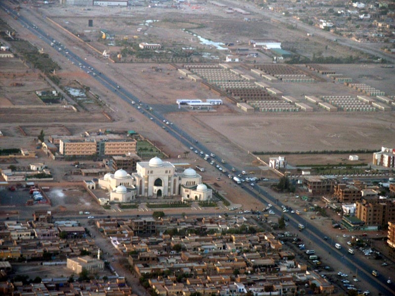
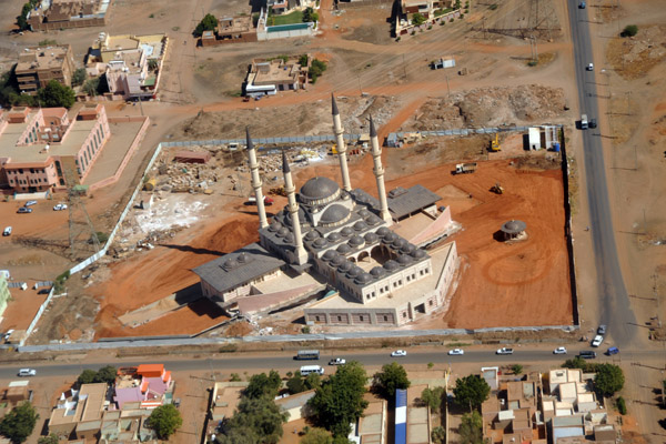 New Al-Noor Mosque in North Khartoum |
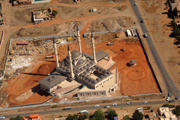 New Al-Noor Mosque in North Khartoum |
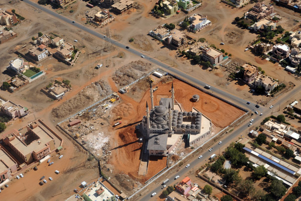 New Al-Noor Mosque in North Khartoum |
 The Blue Nile, Khartoum |
 Farmland, North Khartoum, with the Blue Nile |
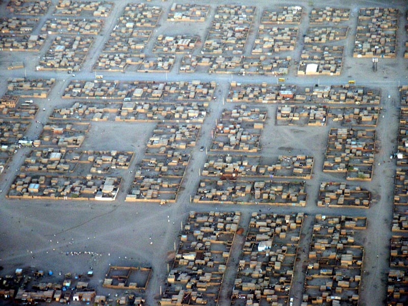
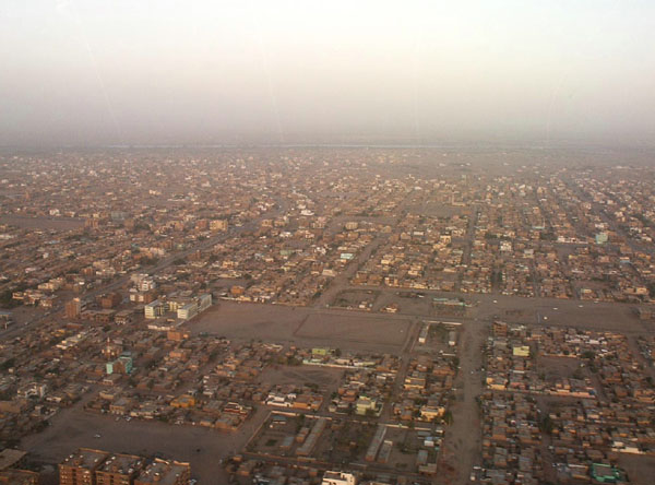
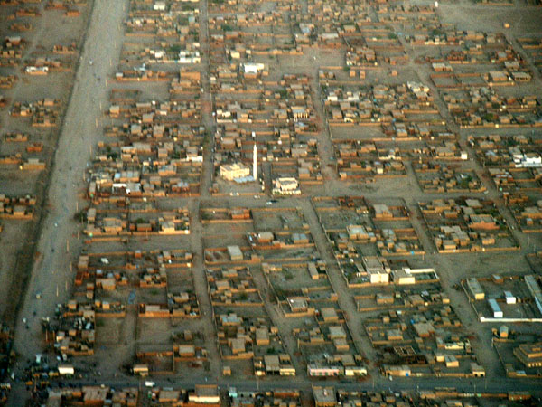
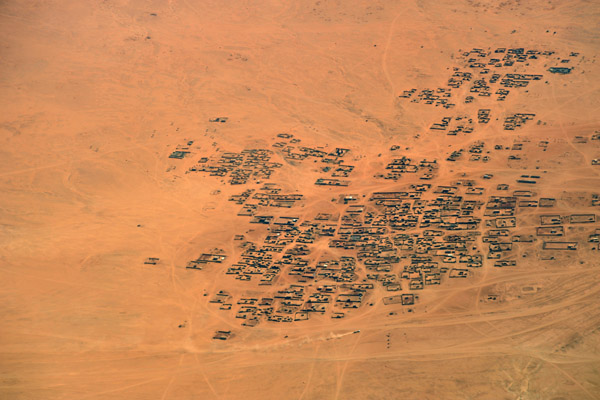
 Vast expanse of low mudbrick houses extending NE from Khartoum |
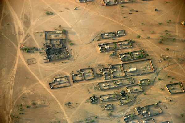
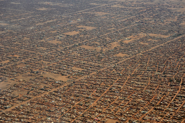 Vast expanse of low mudbrick houses extending NE from Khartoum |
 Vast expanse of low mudbrick houses extending NE from Khartoum |
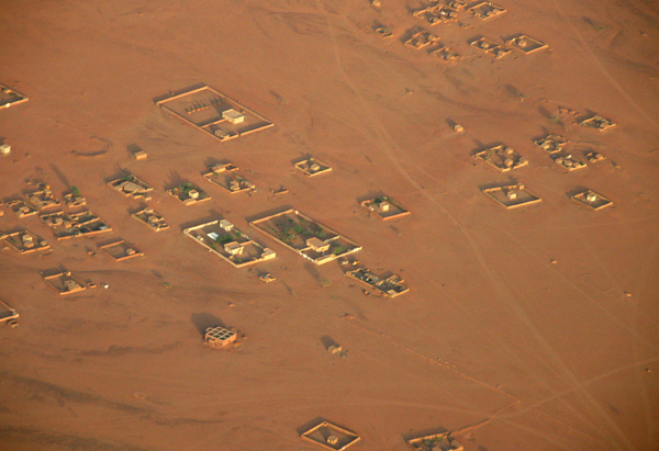
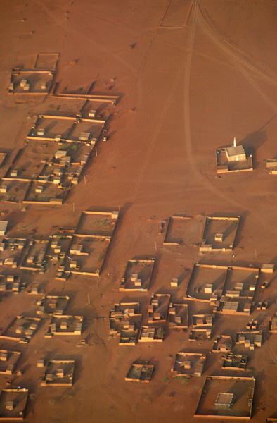
 Desert village, Sudan |
 Desert between Khartoum and Port Sudan |
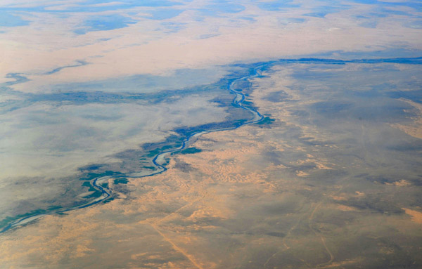 Atbara River, Sudan |
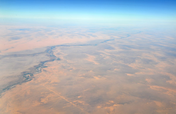 Atbara River, Sudan |
 Atbara River, Sudan |
 Northeastern Sudan |
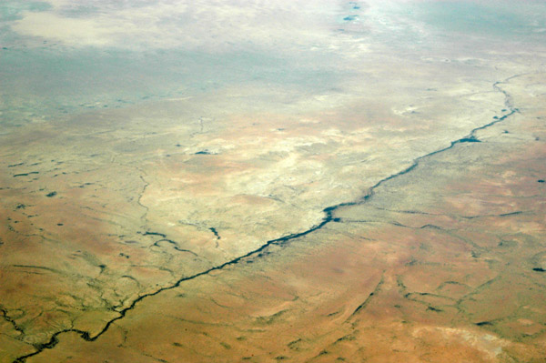
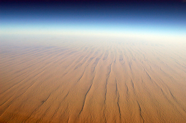
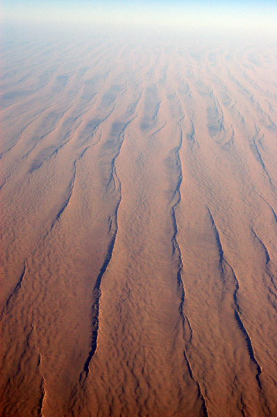
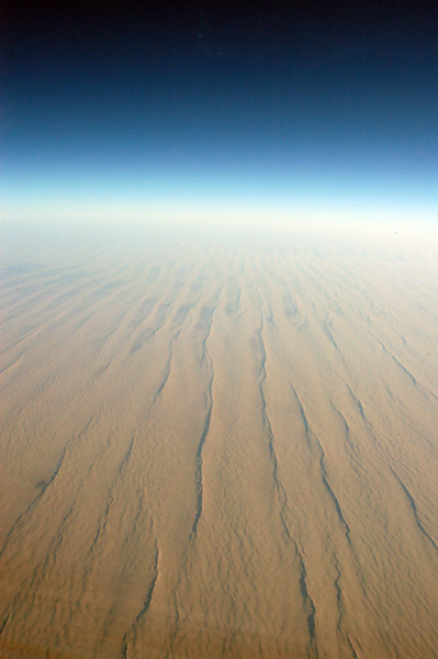
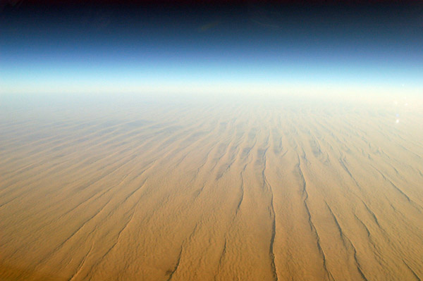
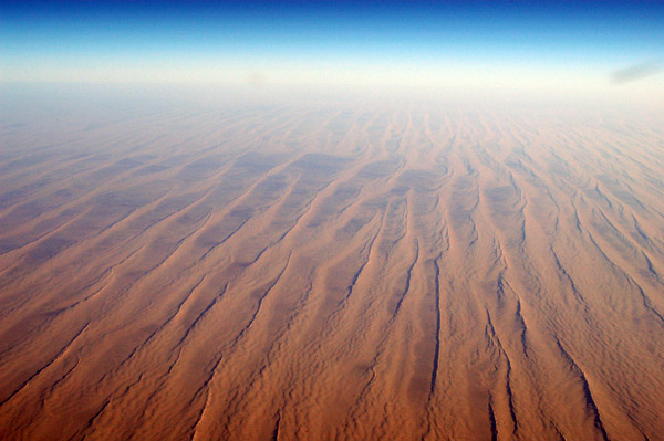
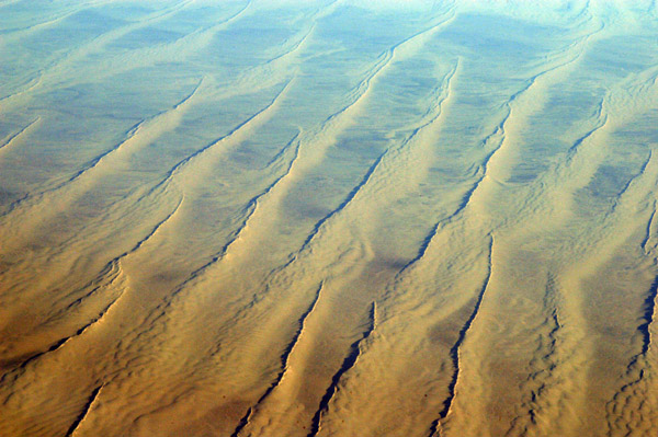
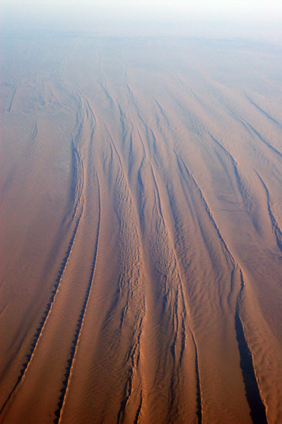
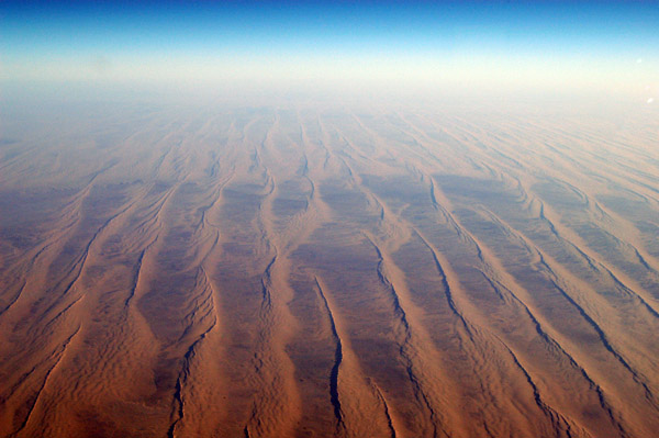
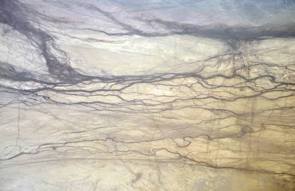 Vein-like wadis, NE Sudan |
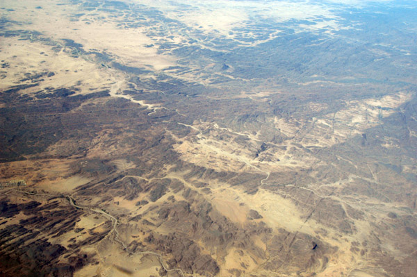
 Northeastern Sudan |
 Northeastern Sudan |
 Northeastern Sudan |
 The road crossing the railroad to Port Sudan |
 Red Sea Hills, NE Sudan |
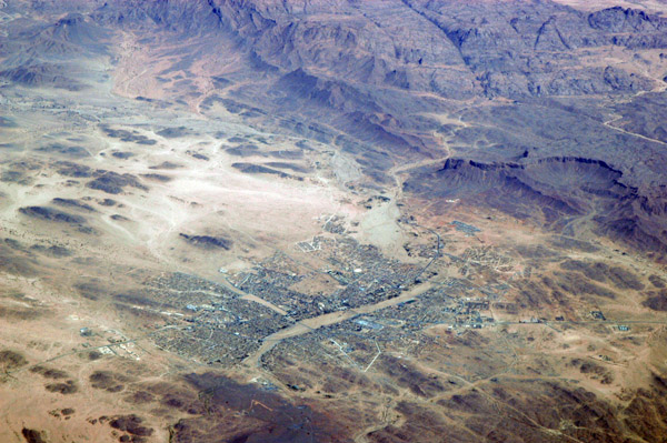
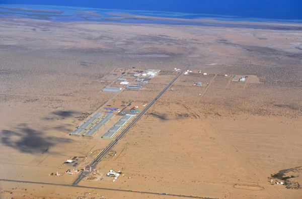
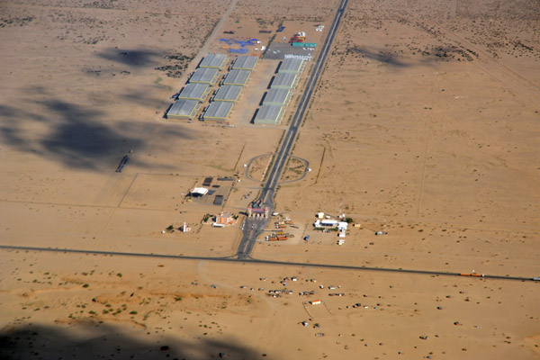
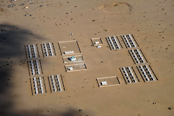
 Town of Gebeit, Red Sea State, NE Sudan |
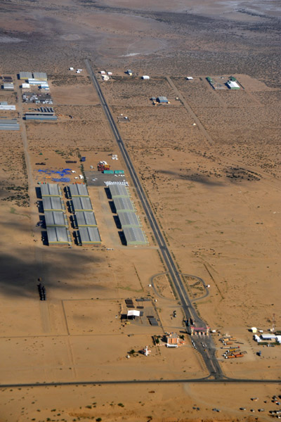
 Town of Gebeit, Red Sea State, NE Sudan |
 Red Sea Hills, NE Sudan |
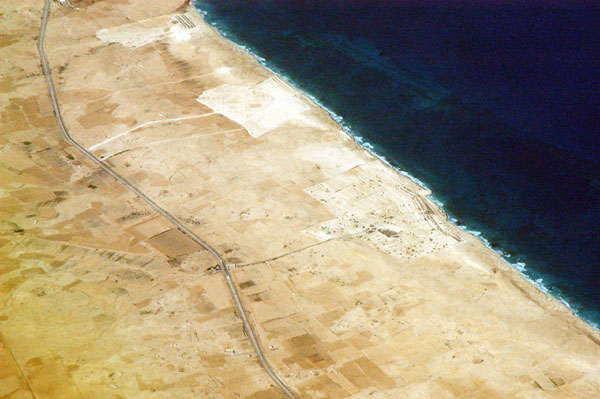
 Red Sea coast, Sudan |
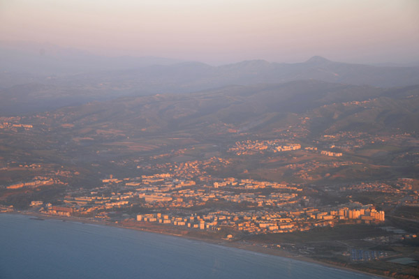
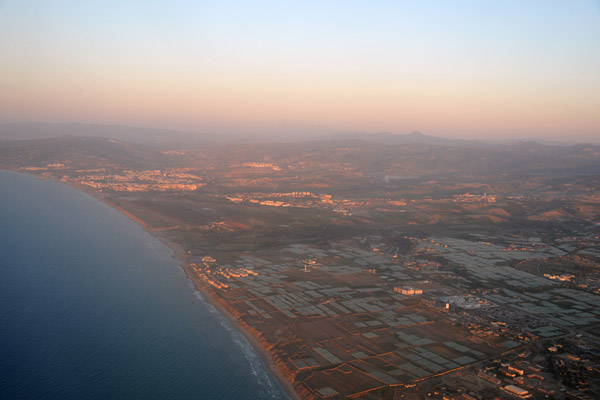
 Red Sea Free Zone, Port Sudan |
 Red Sea Free Zone, Port Sudan |
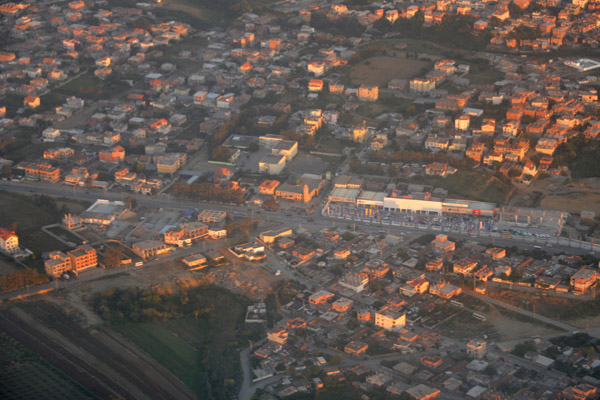
 Housing settlement near the Red Sea Free Zone, Port Sudan |
 Red Sea Free Zone, Port Sudan |
 Red Sea Free Zone, Port Sudan |
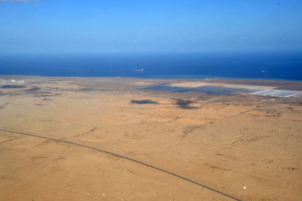 Red Sea coast on approach to Port Sudan Airport |
 Desert near Port Sudan |
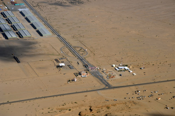
 Landing in a CRJ at Port Sudan (PSD) |
 The Straits of Gibraltar separating Africa on the left with Europe on the right |
 Cueta, a Spanish enclave in northern Morocco opposite Gibraltar |
 Cueta (Spanish) |
 Cueta - Spanish enclave, northern Morocco |
 Cueta - Spanish enclave, northern Morocco |
 Cueta - Spanish enclave, northern Morocco |
 The Spanish enclave of Cueta, a peninsula in northern Morocco |
 The Spanish enclave of Cueta - northern Morocco |
 Mediterranean coast of northern Morocco |
 Rabat, Morocco |
 Rabat, Morocco |
 Atlantic coast - Skhirat, Morocco |
 Skhirat, Morocco |
 Mohammedia, Morocco |
 Ben Slimane Airport, Chaouia-Ouardigha region,Morocco |
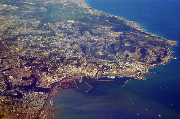
 Approaching Casablanca, Morocco |
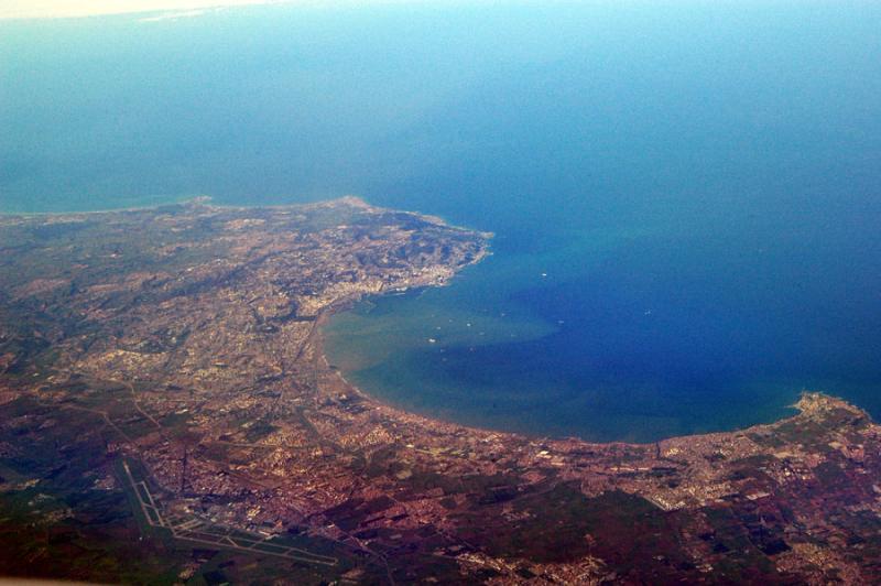
 Casablanca, Morocco |
 City center of Casablanca with the King Hassan II Mosque |
 Casablanca, Morocco |
 Casablanca, Morocco |
 Casablanca, Morocco |
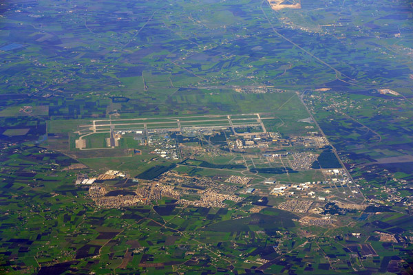 Mohammed V International Airport (CMN), Casablanca, Morocco |
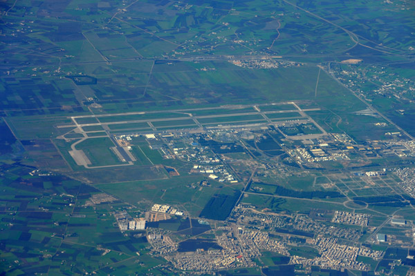 Mohammed V International Airport (CMN), Casablanca, Morocco |
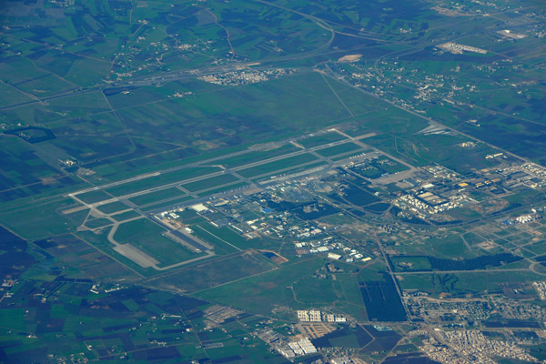 Mohammed V International Airport (CMN), Casablanca, Morocco |
 Berreshid, Morocco |
 Ben Guerir Air Base, El Kelaat, Morocco |
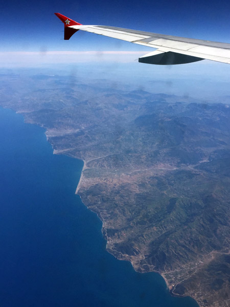
 Snow in the mountains between Marrakech and Agadir, Morocco |
 Agadir, Morocco |
 Youssaf Dam, southern Morocco |
 Chtouka Ait Baha Province, southern Morocco |
 Tigmmi Al Hana, El Handek, Ifrane Anti-Atlas, Morocco (N29 14.3/W009 26.9) |
 Southern Morocco (N28 41/W009 42) |
 This feature, paralleling the Atlantic coast, runs for several hundred km through southern Morocco |
 Detail of the ridge - southern Morocco (N28 16.7/W009 56.7) |
 Section of the long ridge, southern Morocco |
 Escarpment northeast of Zag, Morocco (N28 09/W008 07) |
 Northeast of Zag, Guelmim-Es Semara, Morocco |
 Assa, Morocco |
 Southern Morocco - Guelmim-Es Semara (N28 52/W008 50) |
 Interesting features in southern Morocco - (N28 51/W008 53) |
 Southern Morocco - Guelmim-Es Semara |
 Southern Morocco - Guelmim-Es Semara |
 Fam El Hisn and Icht, Tata Province, Guelmim-Es Semara, Morocco |
 Fam El Hisn and Icht, Tata Province, Guelmim-Es Semara, Morocco |
 Fam El Hisn and Icht, Tata Province, Guelmim-Es Semara, Morocco |
 Fam El Hisn, Tata Province, Guelmim-Es Semara, Morocco |
 Fam El Hisn and Icht, Morroco |
 Southern Morocco - large view of area of next 3 photos |
 Southern Morocco (N29 20/W 008 44) |
 Wadi in southern Morocco - N29 23/W008 52 |
 Talat n'Yssi, Morocco |
 Tizerkine, southern Morocco |
 Azrou Ouado, Tidli, Ighaln, Tamaloukte and Ait Omgas, Morocco |
 Central Morocco |
 Central Morocco |
 Atlas Mountains - heading north towards Marrakech, Morocco |
 Ouled Berhil and Oulad Aaissa, Morocco |
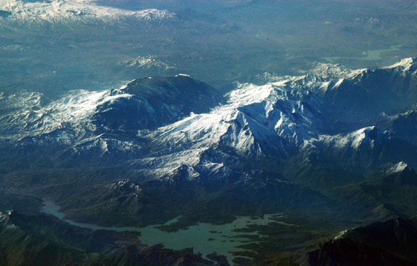
 Mountain oasis in the High Atlas, Morocco (N30 45/W008 50) |
 Green valleys in the High Atlas Mountains (N30 45/W 008 46) |
 Tozmtane, on the north side of the High Atlas Mountains, Morocco (N31 11/W008 46) |
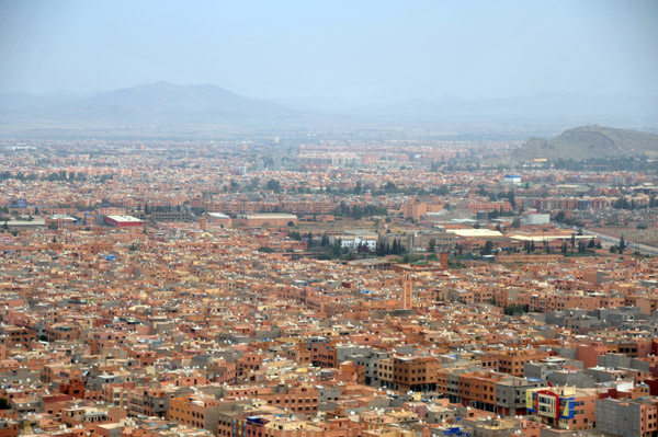
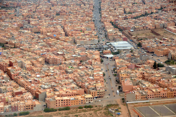
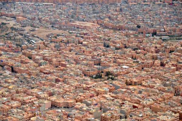
 Marrakech, Morocco |
 Marrakech, Morocco |
 Marrakech, Morocco |
 Marrakech, Morocco |
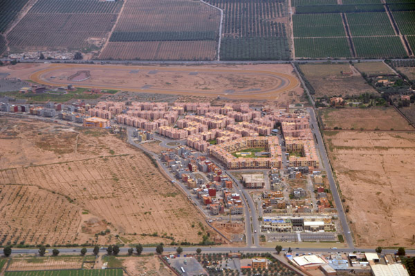
 Tamensourt, Morocco |
 Ceuta, autonomous Spanish city on the coast of Morocco |
 Ceuta and the Strait of Gibraltar |
 North coast of Morocco |
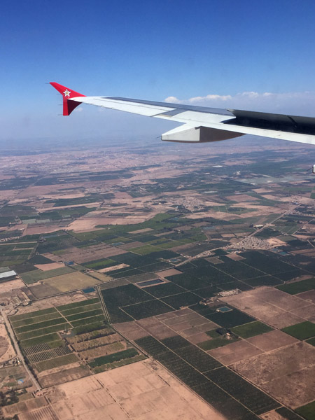 Descent into Marrakech |
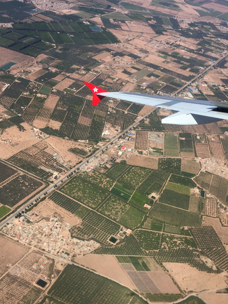 Descent into Marrakech |
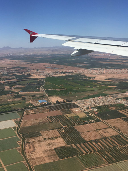 Descent into Marrakech |
 Departing Marrakech for Lisbon |
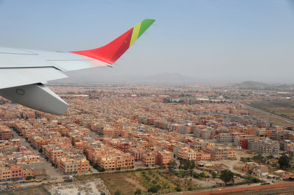
 Marrakech, Morocco |
 Marrakech, Morocco |
 Marrakech, Morocco |
 Marrakech, Morocco |
 Sinai Peninsula |
 Sinai Peninsula |
 Gulf of Aqaba |
 Sinai Peninsula |
 Gulf of Aqaba - Egypt, Israel, Jordan, Saudi Arabia |
 Boumerdes, Algeria |
 Coast east of Algiers |
 Suburb east of Algiers landing at ALG |
 Oran, Algeria |
 Oran, Algeria |
 Third Ring Road at the N4, Oran Algeria |
 Abdul Hamid bin Badis Mosque & Sonatrach, Oran, Algeria |
 Palais des Congr�s, Cit� Chouhada, Oran, Algeria |
 East side of Oran, Algeria |
 Quartier El Ryad, Oran, Algeria |
 Sidi El Bachir, Oran, Algeria |
 Hassi Ben Okba, Algeria |
 Ain El Bia & Arzew, Algeria |
 Arzew Petrochemicals Platform (Sonatrach), Algeria |
 Algiers |
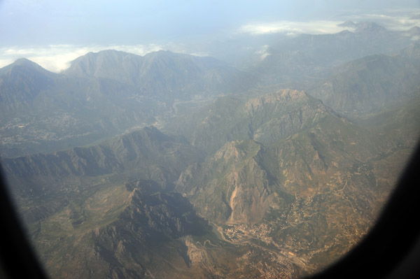
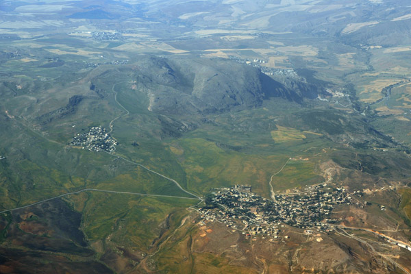
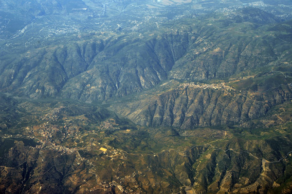 Mountain villages between Algiers and Constantine, Algeria |
 Mountain villages between Algiers and Constantine, Algeria |
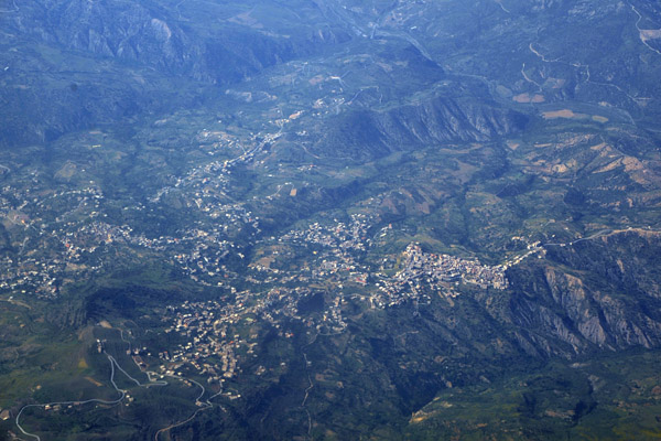
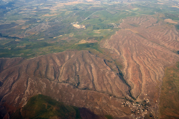
 Tell Atlas Mountains, Algeria |
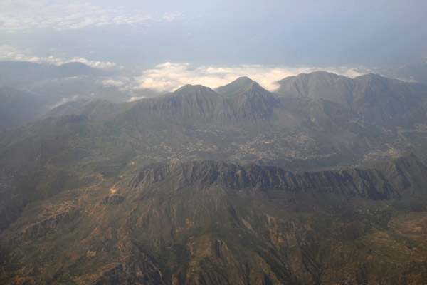 Tell Atlas Mountains, Algeria |
 Tell Atlas Mountains, Algeria |
 Ferdjioua, Mila Province, Algeria |
 Zaouia Sidi Lhocine, Sidi Khelifa, Mila Province, Algeria |
 Sidi Khelifa, Mila Province, Algeria |
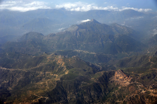
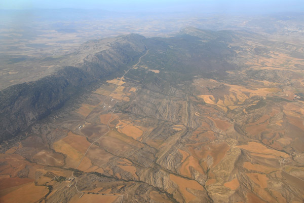
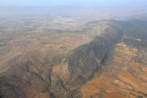 Djebel Chettabah, Constantine, Algeria |
 Djebel Chettabah, Constantine, Algeria |
 Djebel Chettabah, Constantine, Algeria |
 Ain Smara, Constantine, Algeria |
 Ain Smara, Constantine, Algeria |
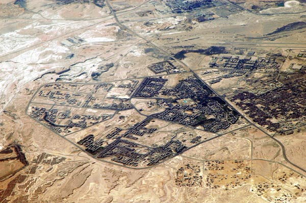
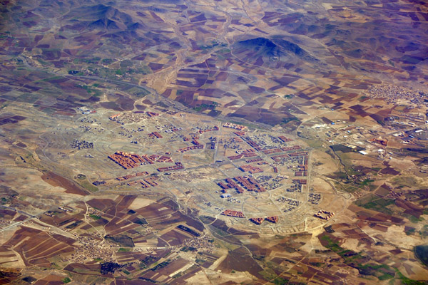
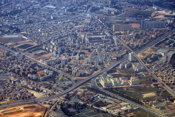
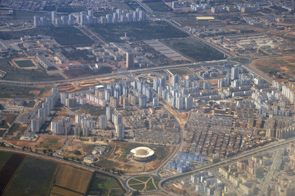
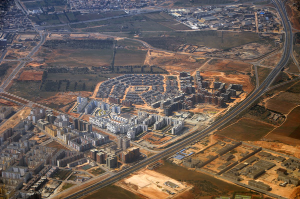
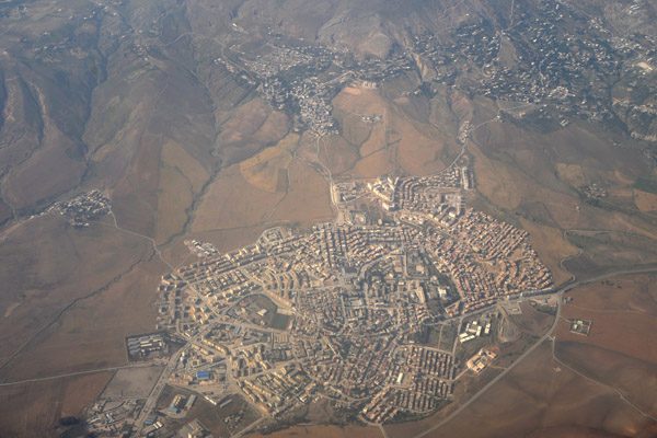
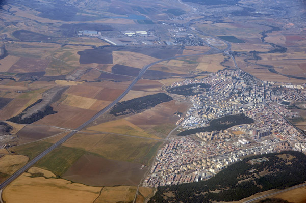
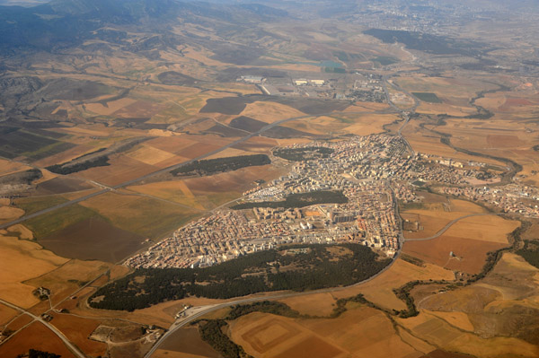
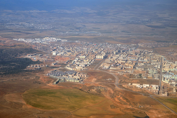 Ali Mendjeli, Constantine, Algeria |
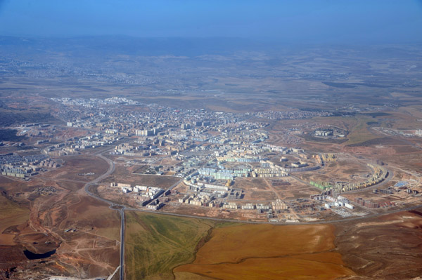 Ali Mendjeli, Constantine, Algeria |
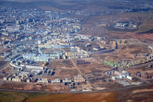 Ali Mendjeli, Constantine, Algeria |
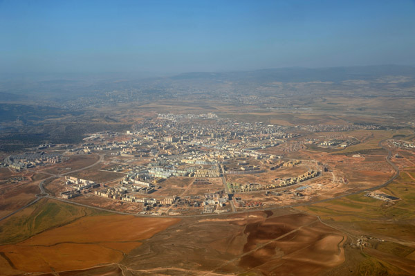 Ali Mendjeli, Constantine, Algeria |
 N79, Guettar El Aich, Constantine, Algeria |
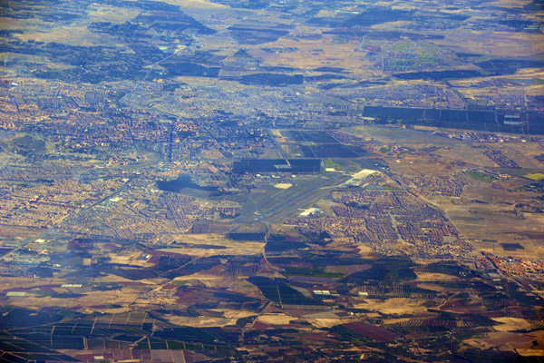
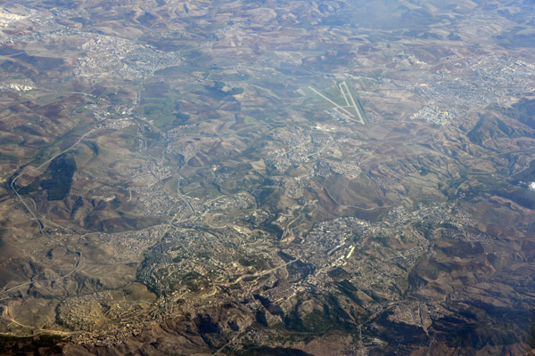
 Hills around Constantine Airport, Algeria |
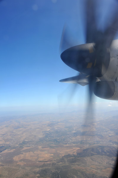
 Departing Constantine Airport, Algeria |
 Ain El Bey, Constantine, Algeria |
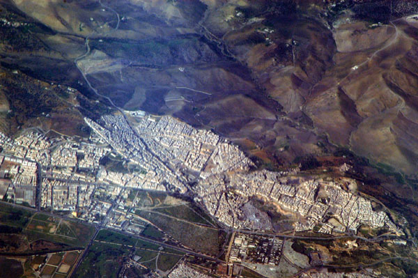
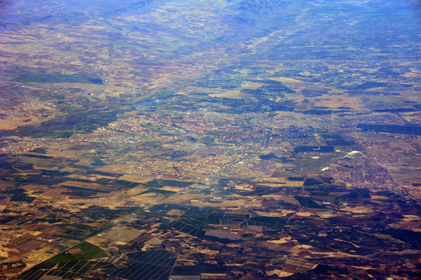
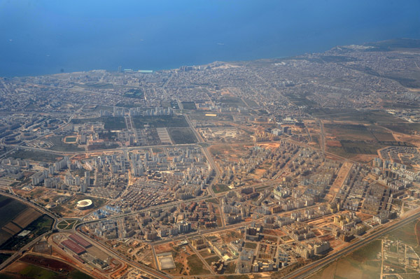
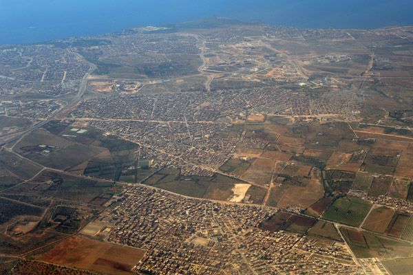
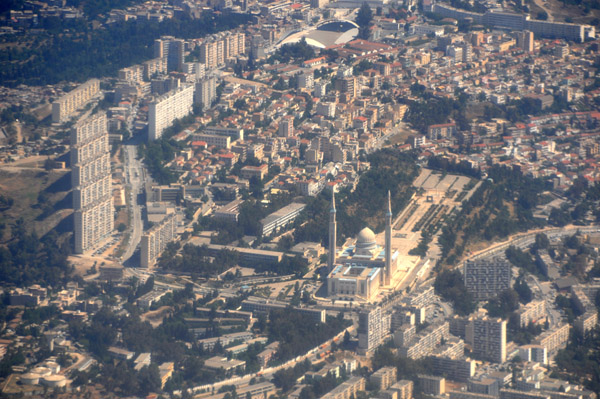
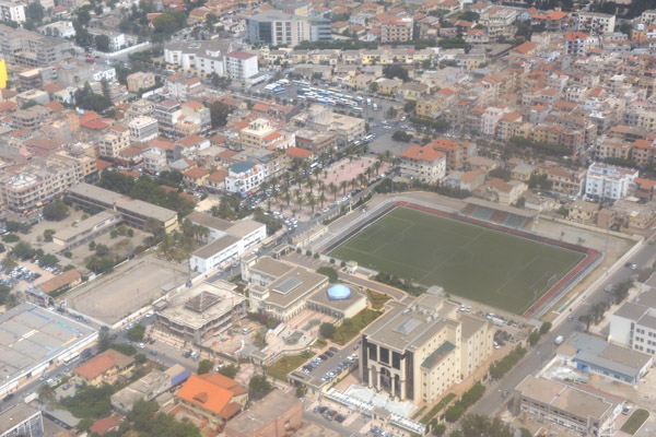
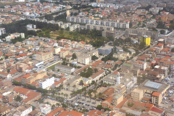
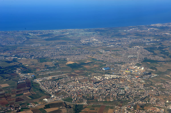
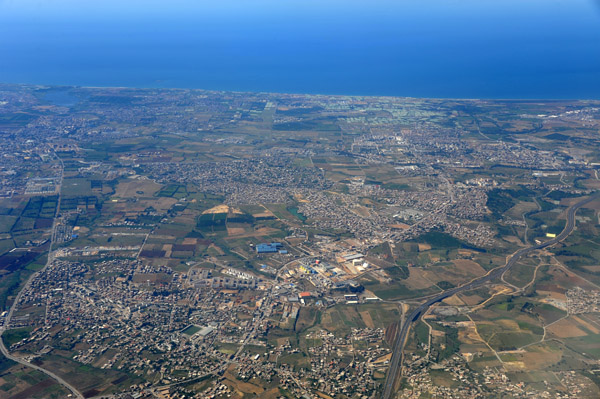
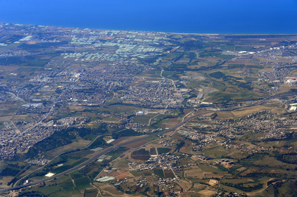
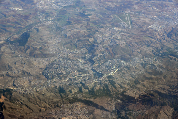
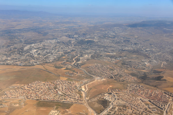 Constantine, Algeria |
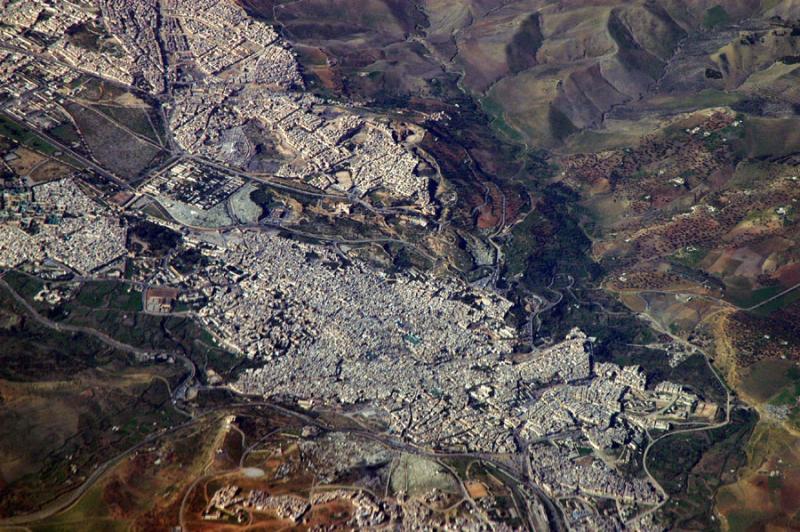
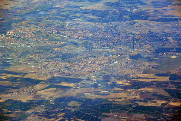
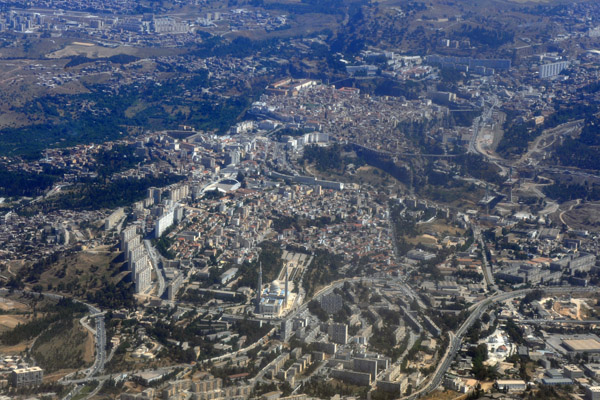
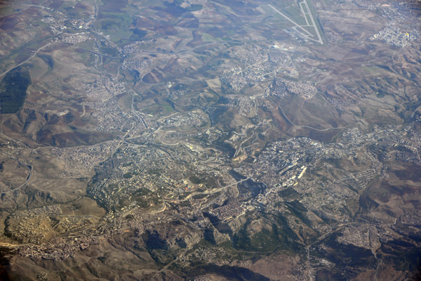
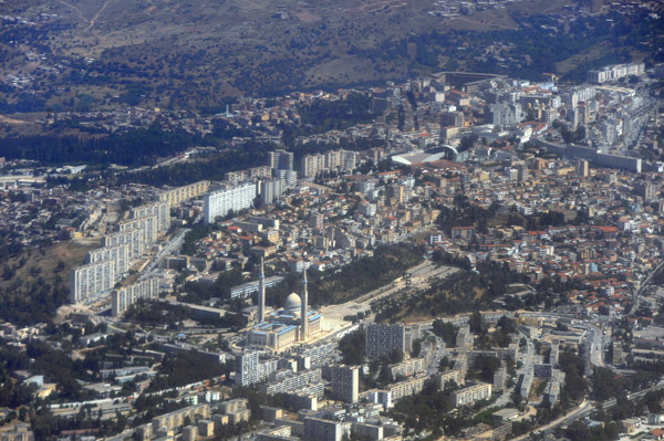 Constantine, Algeria |
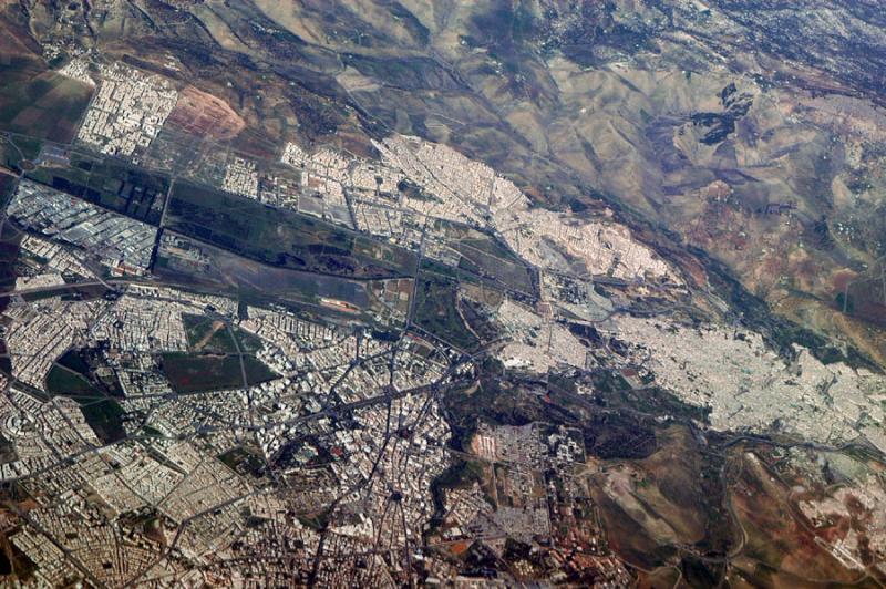
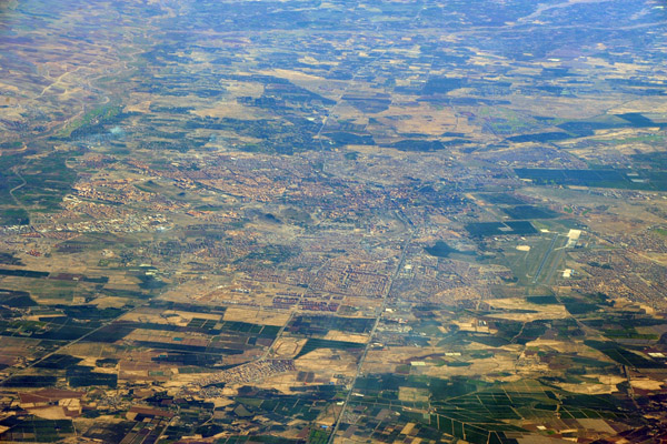
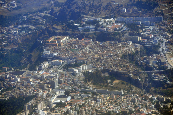
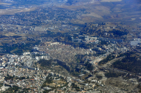 Constantine, Algeria |
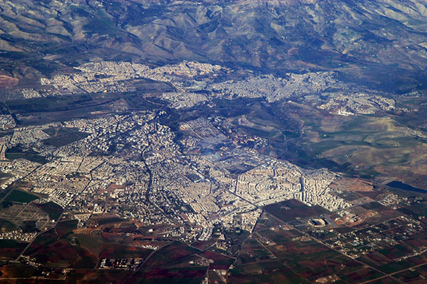
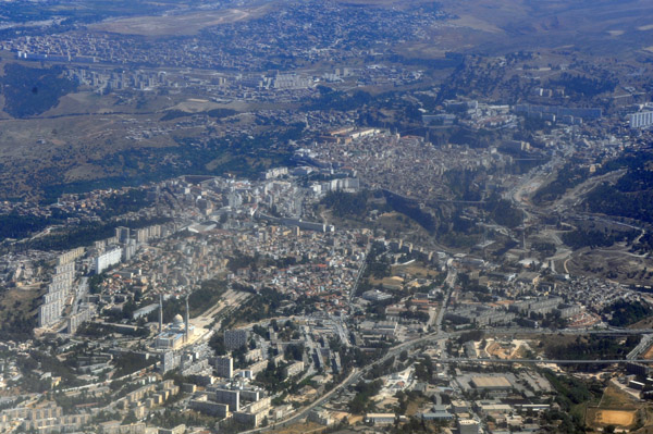 Constantine, Algeria |
 Constantine, Algeria |
 Constantine, Algeria |
 Constantine, Algeria |
 Constantine to Algiers |
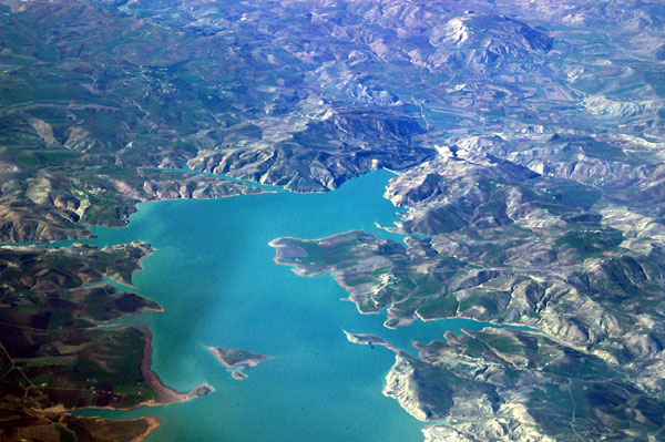
 Lake Beni Haroun, Mila, Algeria |
 Aftis Beach, Taza, Algeria |
 Ziama Mansouriah, Algeria |
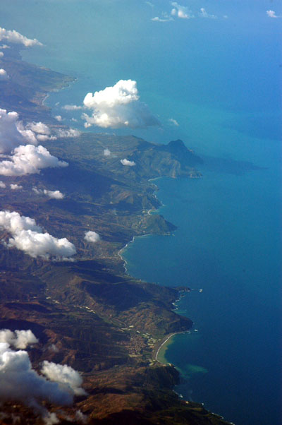
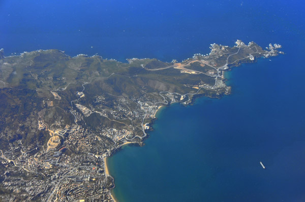
 Cap Carbon, B�jaia, Algeria |
 Ain Taya, Algeria |
 Suburbs east of Algiers |
 Village to the east of Algiers |
 Rou�ba, Algeria |
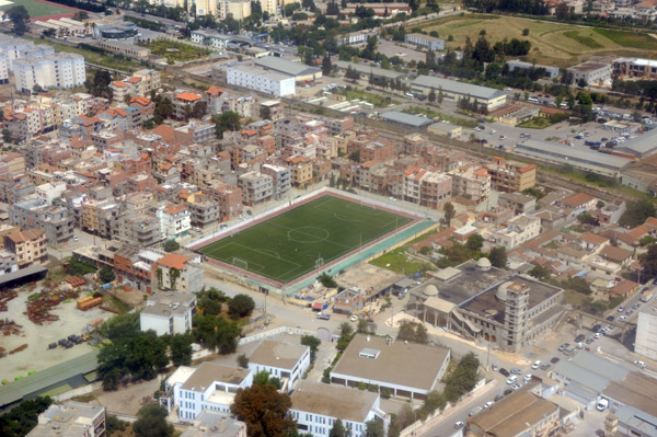
 Stade municipal Rouiba, Rou�ba, Algeria |
 Rou�ba, Algeries, Algeria |
 Stade Ali Meguelati, Rou�ba, Algeries |
 Crossing the N5 landing Rwy 23 at ALG |
 Departing Algiers |
 Departing Algiers |
 Farmland outside Algiers |
 Farmland outside Algiers |
 Farmland outside Algiers |
 Farmland outside Algiers |
 Agricultural village and orchards outside Algiers |
 Farm and orchard near Algiers |
 Farm and orchard near Algiers |
 Algiers Airport and farmland looking to the Mediterranean |
 Algiers Airport |
 Algiers Airport |
 Farmland south of Algiers |
 South of Algiers Airport |
 South of Algiers Airport |
 Junction of the Eastern Highway and 2nd Ring Road, Algiers |
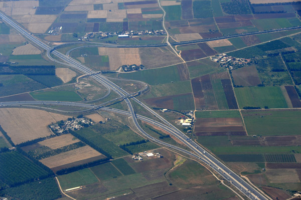 Junction of the Eastern Highway and 2nd Ring Road, Algiers |
 Ouled Moussa, Algeria |
 Ouled Moussa, Algeria |
 Boudouaou, Algeria |
 Coastal mountains and quarries east of Algiers |
 Bordj Mena�el, Boumerd�s Province, Algeria |
 Bordj Mena�el, Boumerd�s Province, Algeria |
 Naciria, Boumerd�s Province, Algeria |
 N25 north from Tadmayt, Algeria |
 Tizi Ouzou Province, Algeria |
 Ridgetop villages in the mountains east of Algiers |
 Cap de Fer, El Marsa, Algeria |
 Cap de Garde, Annaba, Algeria |
 Constantine, Algeria |
 Constantine, Algeria |
 Constantine, Algeria |
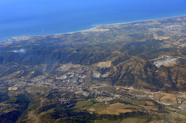
 Tabarka, Tunisia |
 Beja, Northern Tunisia |
 Nile River at Abu Hamad, Sudan |
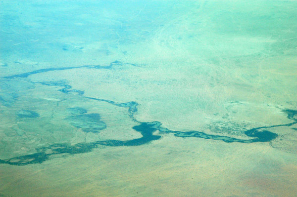
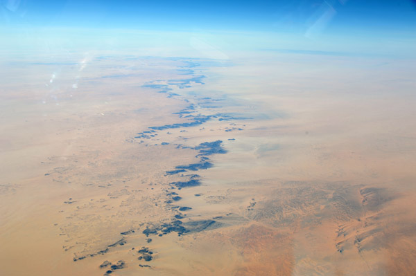
 Part of the great bend in the Nile River, Sudan |
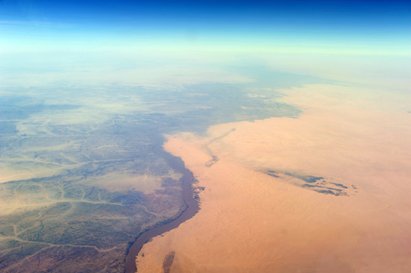 Part of the great bend in the Nile River, Sudan |
 Nile River at Al 'Amarin, Sudan |
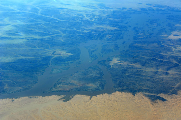
 Lake created by the Merawi Dam, Nile River, Sudan |
 Lake created by the Merawi Dam, Nile River, Sudan |
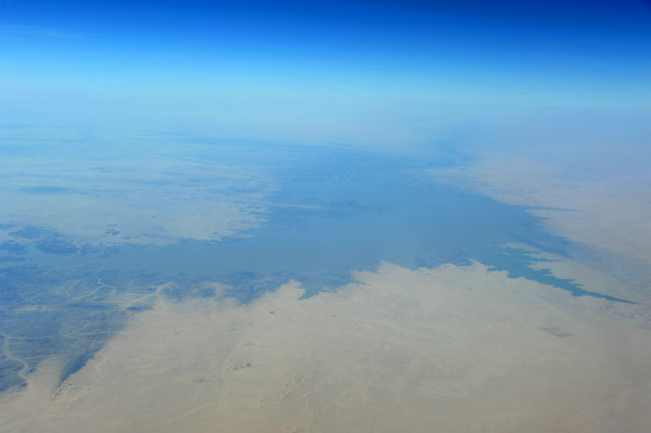
 Nile River looking south at Old Dongala, Sudan |
 Nile River looking south at Old Dongala, Sudan |
 Nile River looking south at Old Dongala, Sudan |
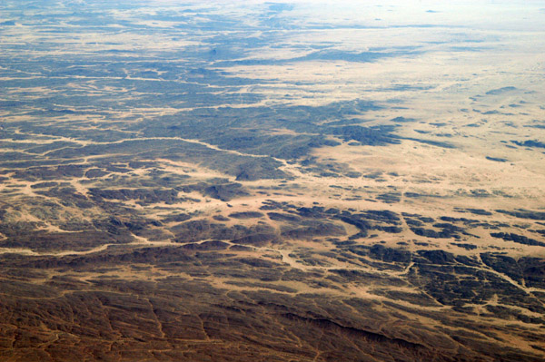
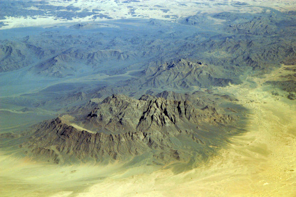
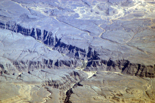
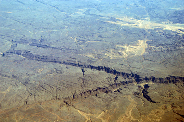
 Ridge standing out in the Sahara, eastern Darfur, Sudan (N17 E27) |
 Libyan coast east of Tripoli |
 South of Tripoli landing to the west at Tripoli Airport, Libya |
 Bir Toutah Road - Qasr Bin Ghashir, Libya |
 Qasr Bin Ghashir, Libya |
 Qasr Bin Ghashir, Libya |
 Departing Tripoli, Libya |
 Departing Tripoli, Libya |
 Departing Tripoli, Libya |
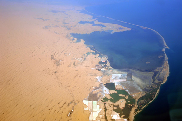 Lake Bardawil, Sinai Peninsula, Egypt |
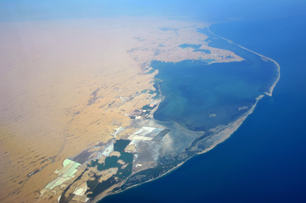 Lake Bardawil, Sinai Peninsula, Egypt |
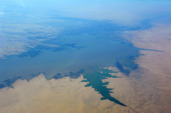
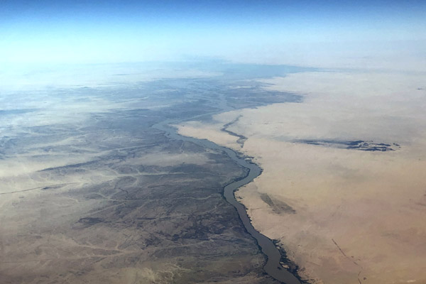 Nile River, Nubia, Sudan |
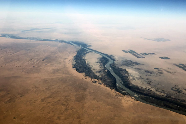 Nile River, Nubia, Sudan |
 Nile River, Nubia, Sudan |
 Nile River, Nubia, Sudan |
 West side of Algiers, Algeria |
 Algiers, Algeria |
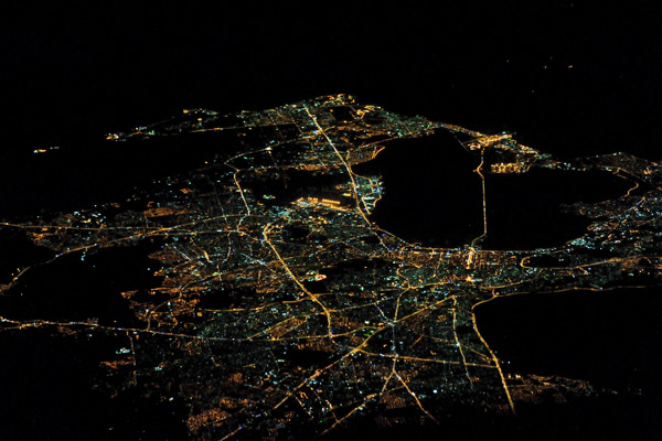 Tunis, Tunisia, at night |
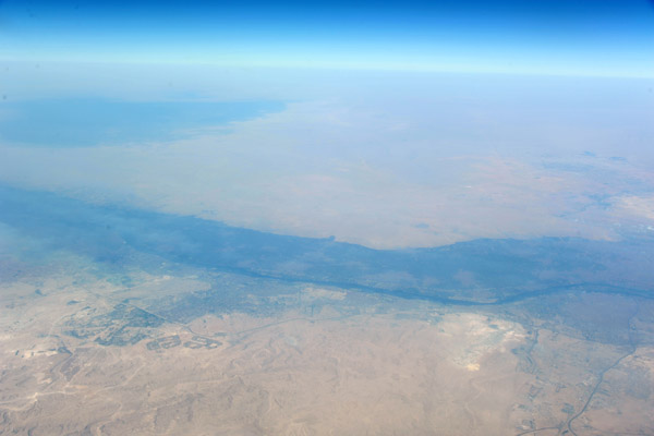 The Nile south of Cairo, Egypt |
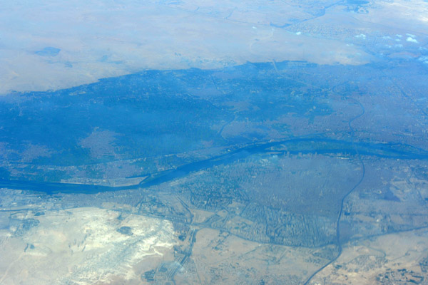 Cairo, Egypt |
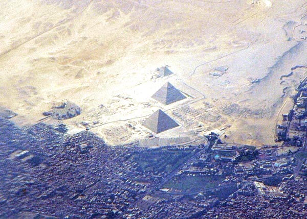
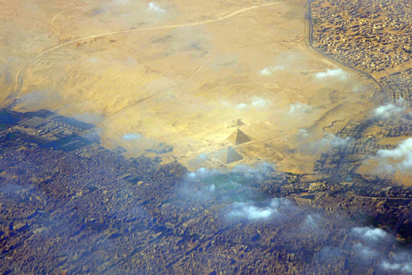
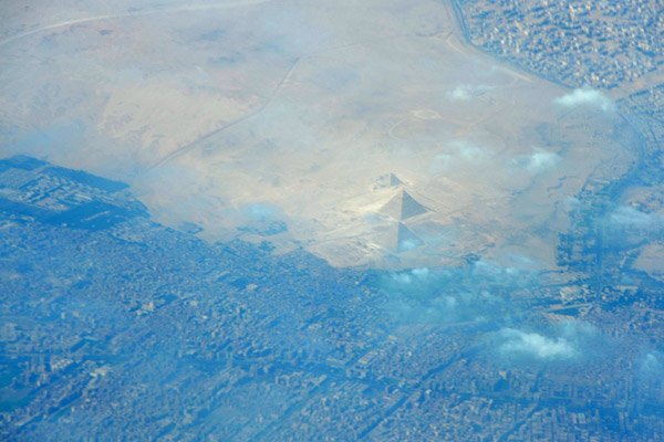 Great Pyramids of Giza, Egypt |
 Cairo and the Pyramids, Egypt |
 Great Pyramids of Giza, Egypt |
 Cairo, Egypt |
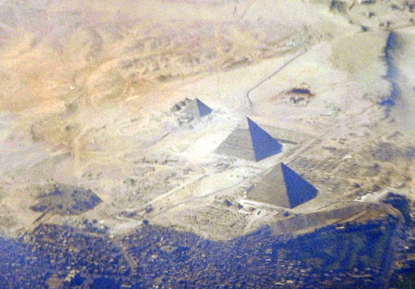
 Cairo and the Pyramids, Egypt |
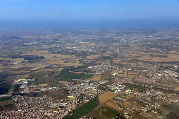
 The fertile Nile Delta, Egypt |
 The Nile Delta, Egypt |
 Mediterranean coast of Egypt west of Alexandria |
 Mediterranean coast of Egypt west of Alexandria |
 Looking west across the Gulf of Aqaba to the Sinai Peninsula of Egypt |
 Sinai Peninsula, Egypt |
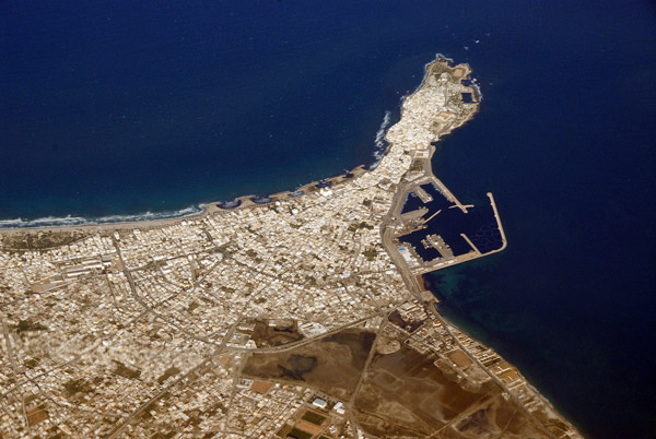
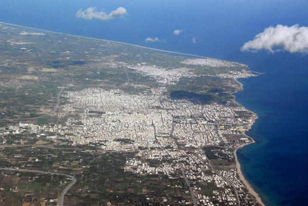
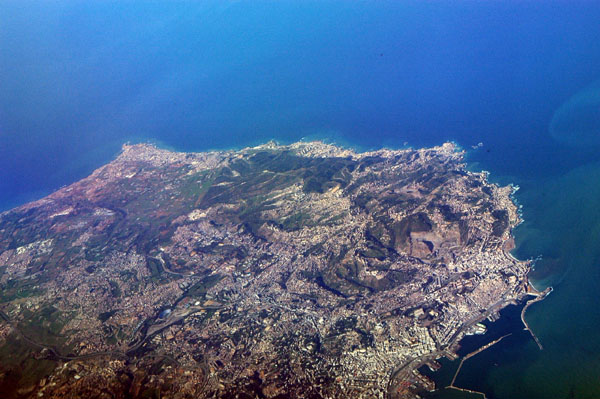
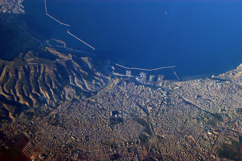
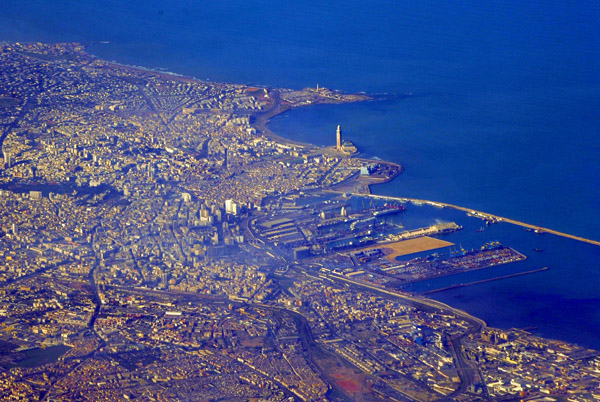
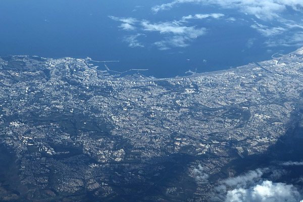
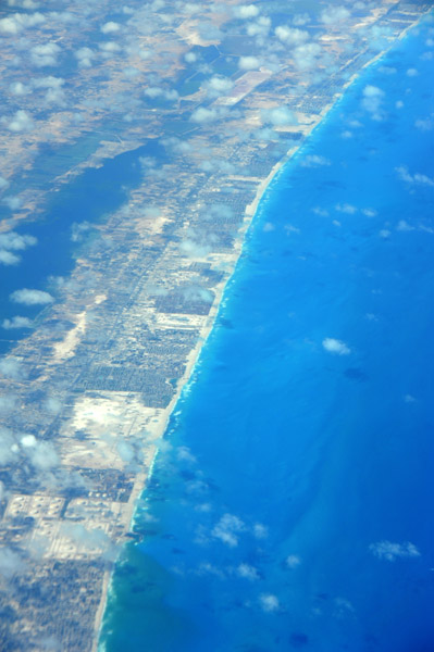
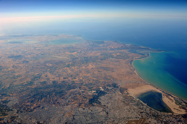
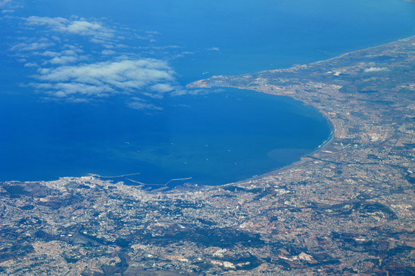
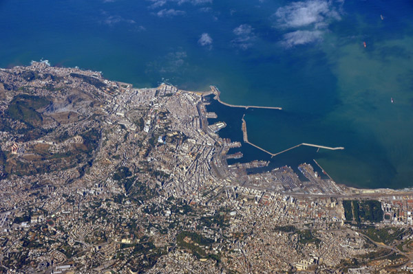
 Alexandria, Egypt |
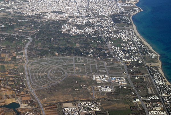
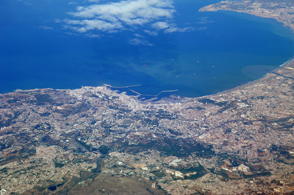
 Alexandria, Egypt |
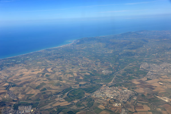
 Hammamet, Tunisia |
 Gulf of Hammamet, Tunisia |
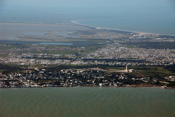
 Carthage, Sidi Bou Sa�d and La Marsa, Tunisia |
 Carthage, Sidi Bou Sa�d and La Marsa, Tunisia |
 Carthage and Le Kram, Tunisia |
 Tunis International Airport |
 Tunis International Airport and the suburbs of Tunis |
 Carthage, Le Kram and La Goulette, Tunisia |
 Tunis, Tunisia |
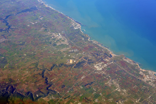
 Suburbs of Tunis north to Bizerte, Tunisia |
 Annaba and Chetaibi, Algeria, Cap de Garde late afternoon |
 Annaba and Chetaibi, Algeria, Cap de Garde late afternoon |
 Kassala, Sudan |
 Attaka, Suez Governorate, Egypt |
 Great Pyramids of Giza, Egypt |
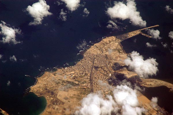
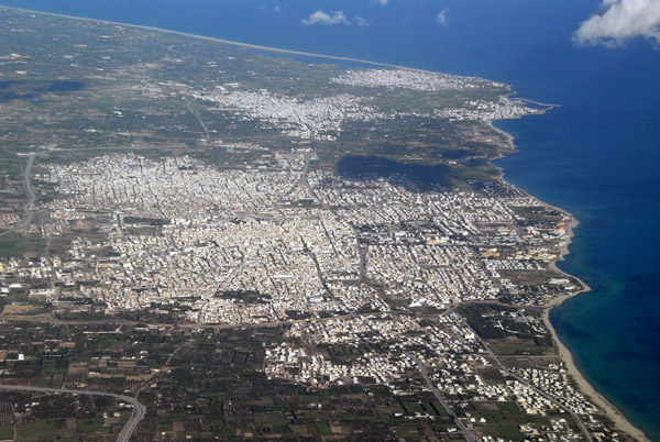
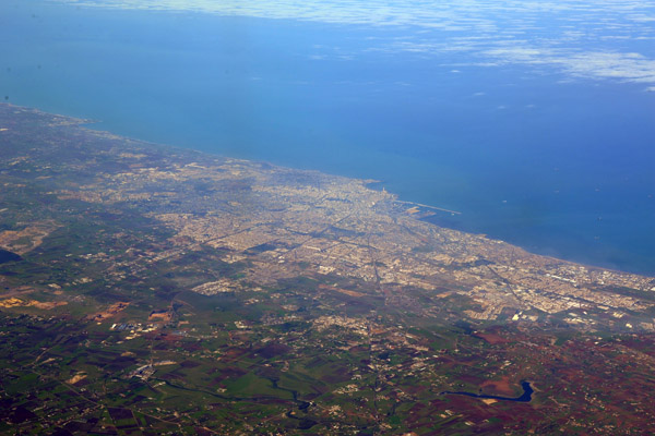
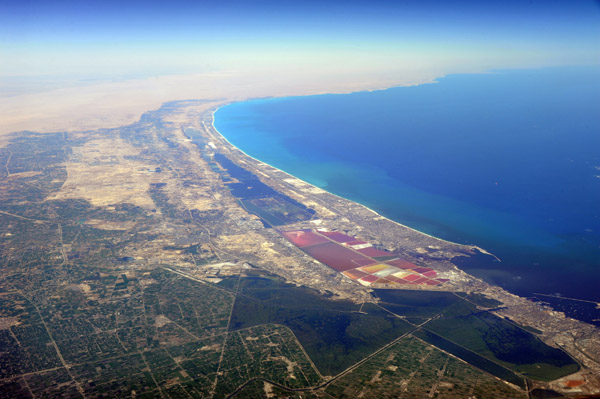
 Alexandria, Egypt |
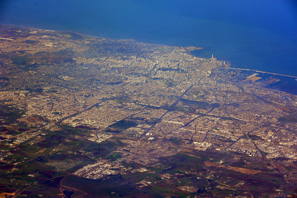
 Alexandria, Egypt |
 Mediterranean coast west of Alexandria, Egypt |
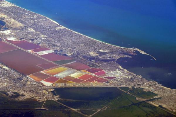 Dukhaylah, Alexandria, Egypt |
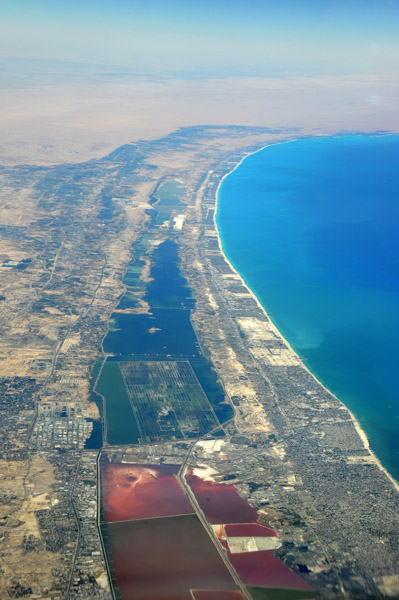 Mediterranean coast west of Alexandria, Egypt |
 Mohammedia, Morocco |
 Bouznika, Morocco |
 Ghazaouet, Tlemcen Province, Algeria |
 Oran, Algeria |
 Arzew, Algeria |
 Algiers, Algeria |
 Algiers, Algeria |
 Algiers, Algeria |
 Algiers, Algeria |
 Algiers, Algeria |
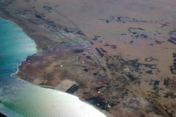
 Suakin, Sudan |
| comment | share |