


|
|
|
|
|
|
| Brian McMorrow | profile | all galleries >> Aviation >> Aerial Photos >> Aerials-Middle East >> Aerials - Iraq & Kuwait | tree view | thumbnails | slideshow | map |
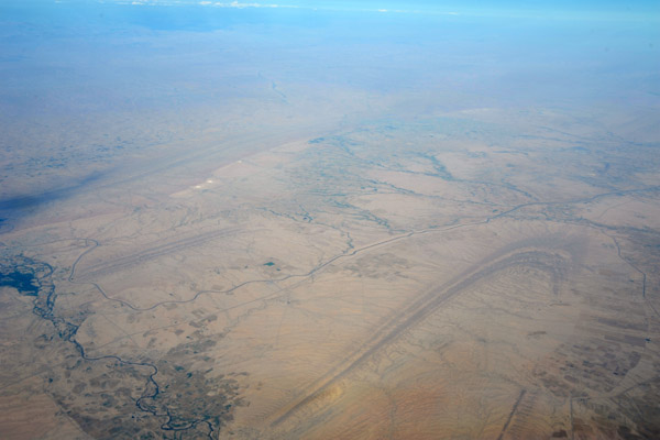
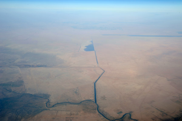
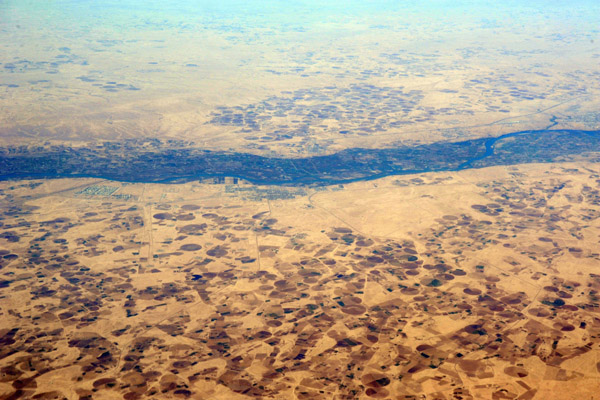
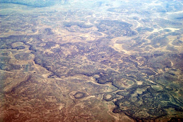 Iraq across from Rafhah, Saudi Arabia |
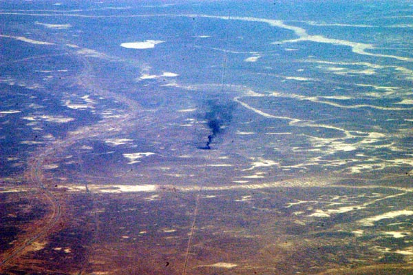 Iraqi pipeline burning just before the Jordanian border |
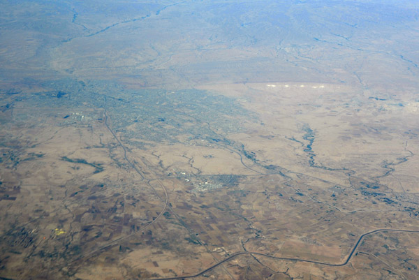
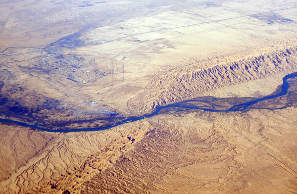
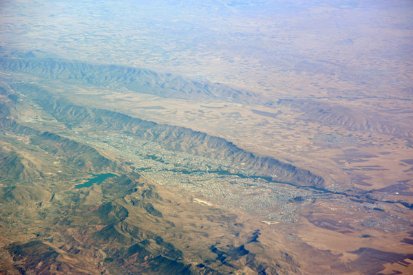 Dahuk, Iraq, on the Tigris River near the Turkish border |
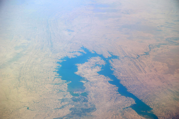
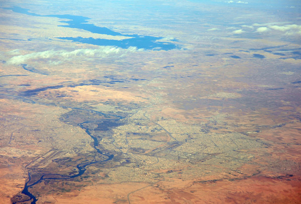
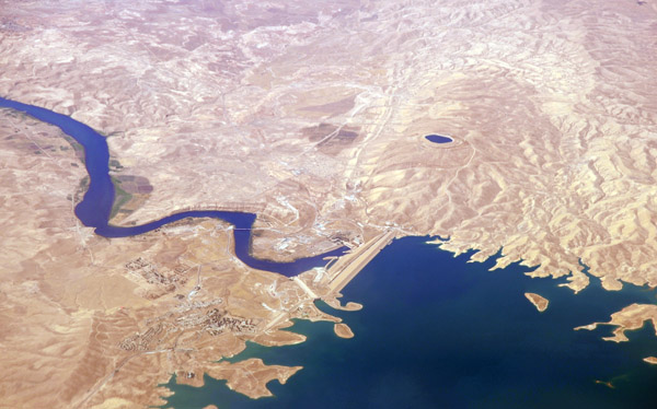
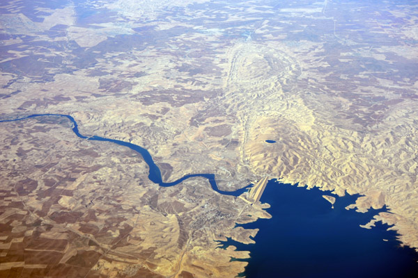
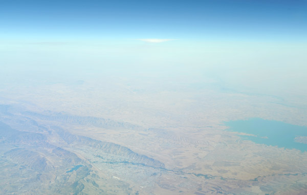 Northern Iraq from Dahuk to the large reservoir behind the Al-Mosul Dam on the Tirgris River |
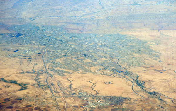
 Dahuk, Iraq (Kurdish region) |
 Kurdish borderlands - Turkey on the left, Iraq on the right |
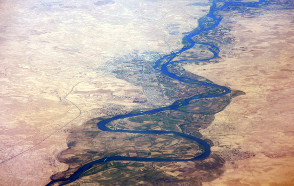
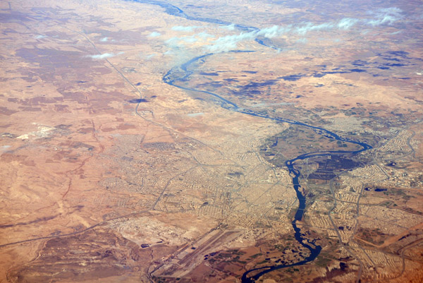
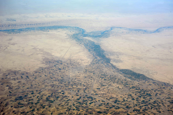
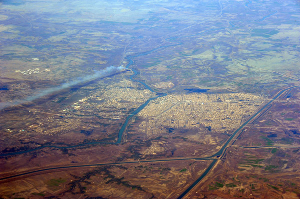
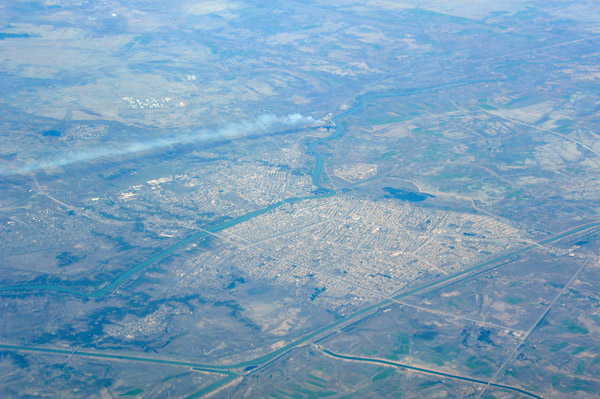
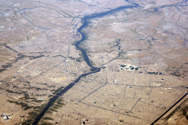
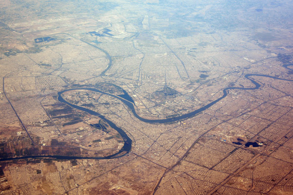
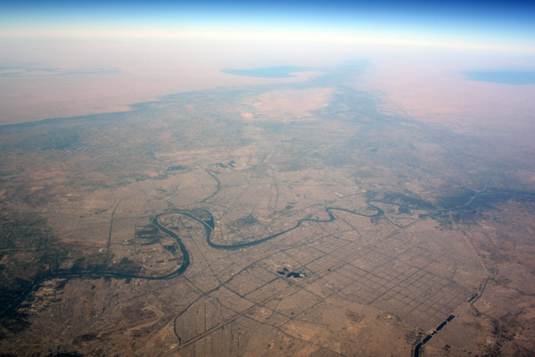
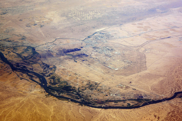
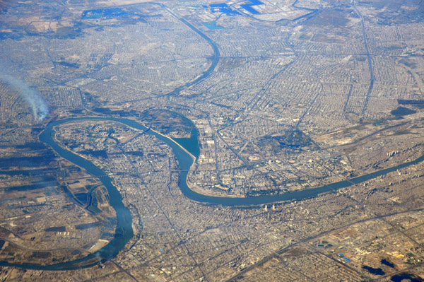
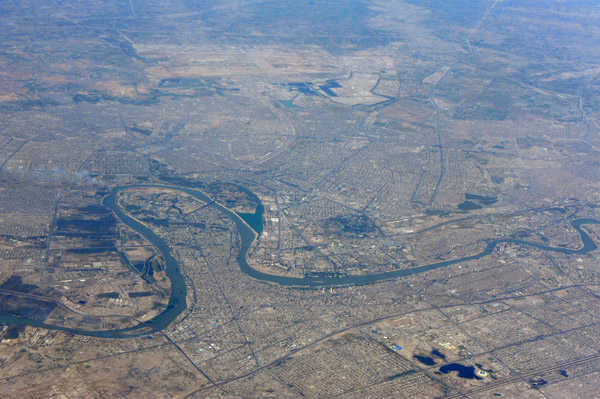
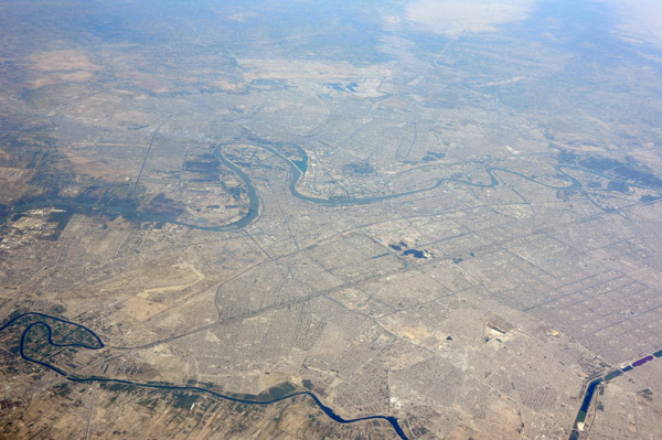
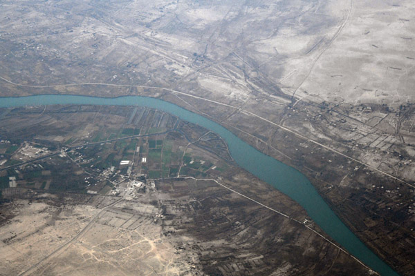
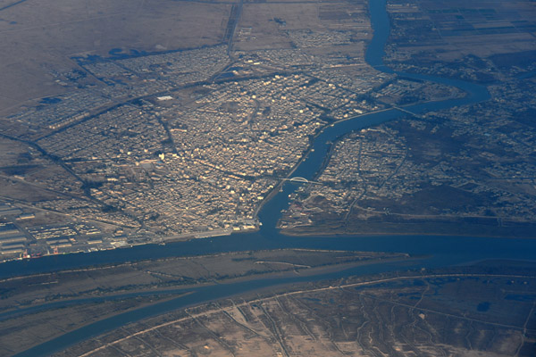
 Mosul, Iraq, Tigris River |
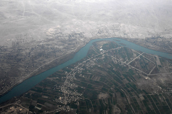
 Mosul, Iraq, Tigris River |
 Great Zab River and a smaller tributary, Iraq, looking towards Erbil |
 Farmland along the Great Zab River, Iraqi Kurdistan, with Erbil in the distance |
 Khabat, Iraq and farmland along the Great Zab River, Kurdish north |
 Erbil, the capital of the Kurdish region of Iraq |
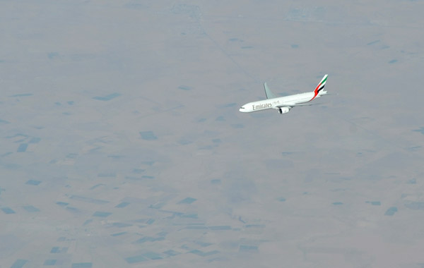 Emirates Boeing 777 over northern Iraq |
 Low mountains between Erbil and Kirkuk, Iraq |
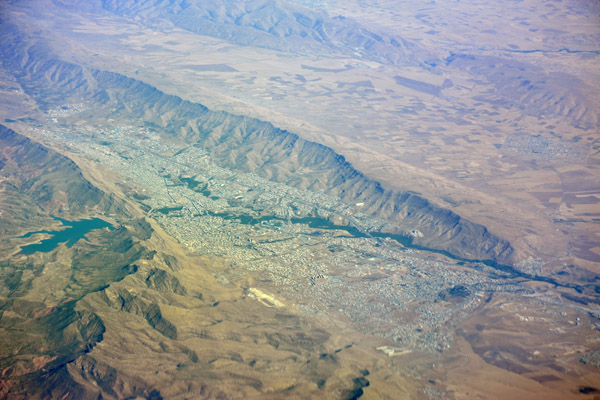
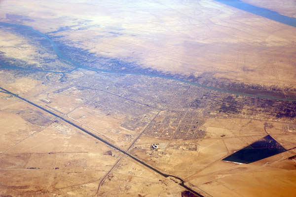
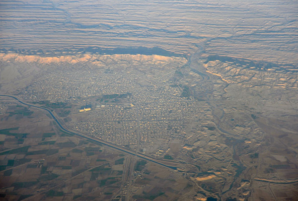
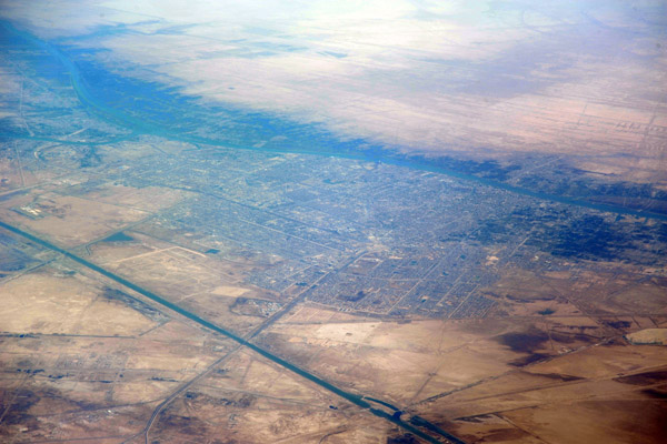
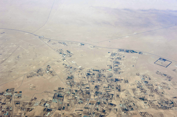
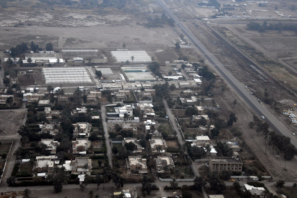
 Kirkuk, Iraq |
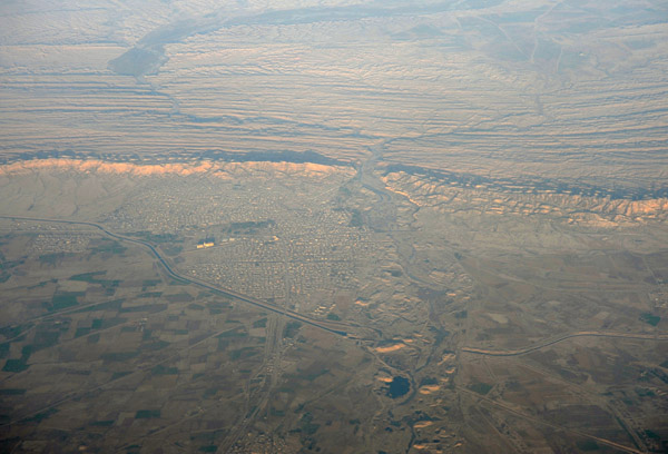
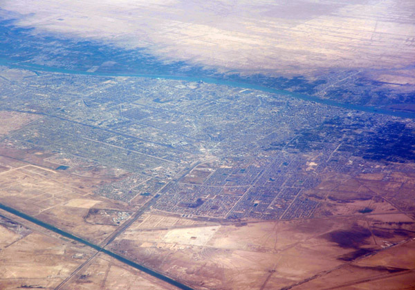
 Kirkuk, Iraq |
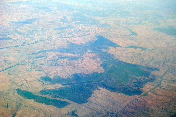
 Dam on a minor river in Iraq forming a rather large reservoir 140 km N of Baghdad (N34.56/E44.51) |
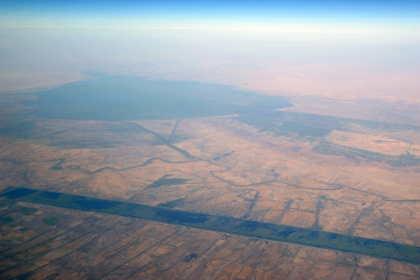
 Reservoir behind the Himreen Dam, Iraq (N34.11/E44.97) 105 km NE of Baghdad |
 Dyala River and Himreen Dam, Iraq |
 WindsorJun09 681.jpg |
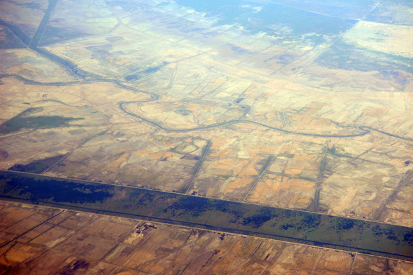
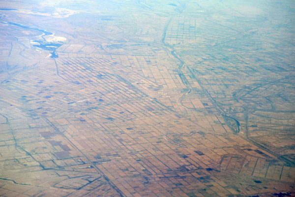 Irrigated farmland, Diyala Province, Iraq |
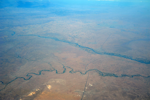
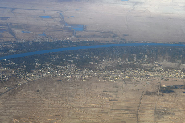
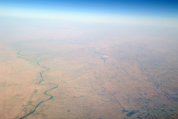 Tigris River and farmland of Wasit (Al Kut) Province, Iraq |
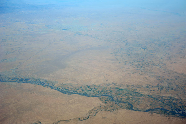
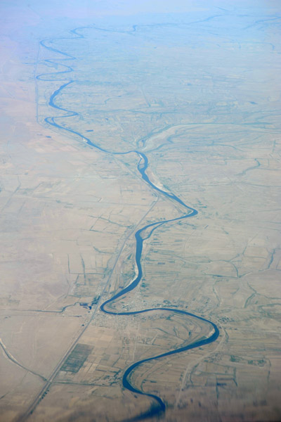 Highway 6 and the Tigris River southeast of Al Kut, Iraq |
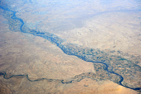
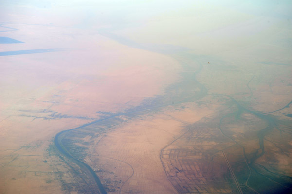
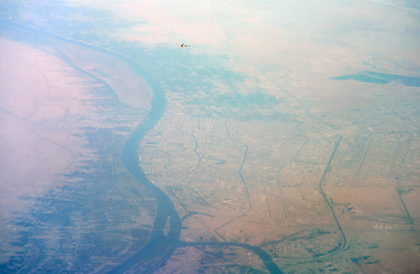
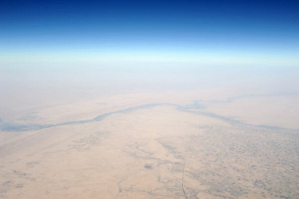
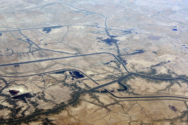
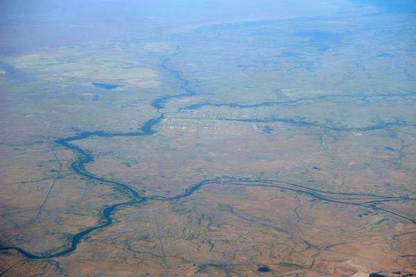 Amarah, Iraq, the northern end of the marshlands between the Tigris and Euphrates |
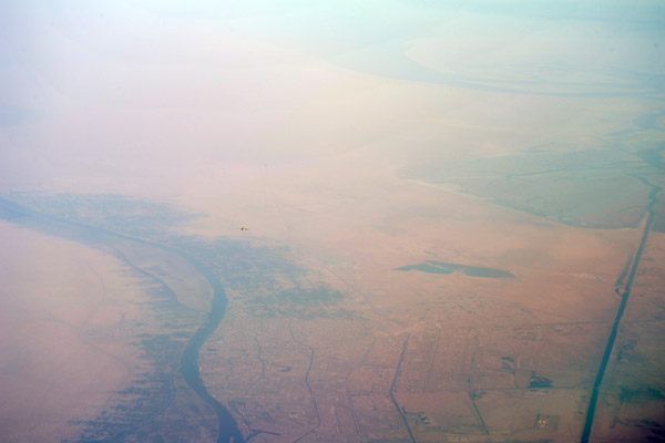
 Mesopotamian marshes, southern Iraq |
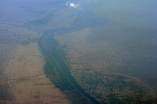
 Saddam's "Prosperity River" - canal used to drain the marshes of southern Iraq |
 Saddam's "Prosperity River" - canal used to drain the marshes of southern Iraq |
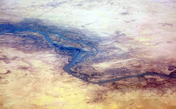
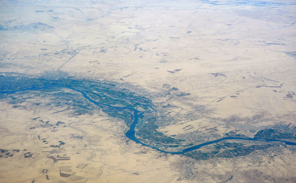
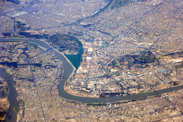
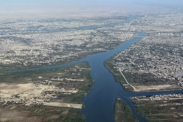
 Confluence of the Tigris and Euphrates at Al Qurna, Iraq |
 Iran - Iraq border east of Al Qurna, Iraq |
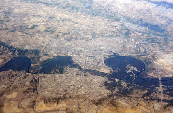
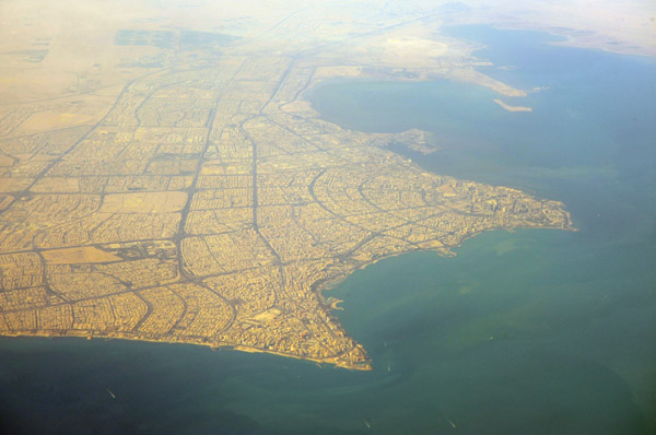
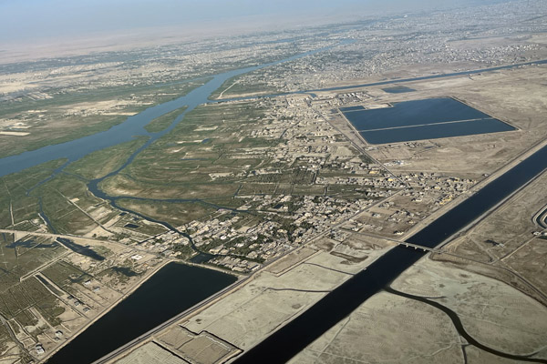
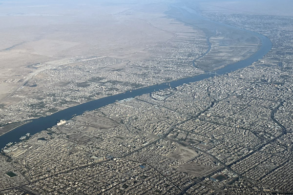
 Basra, Iraq |
 Iran - Iraq border east of Al Qurna, Iraq |
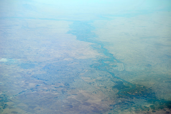
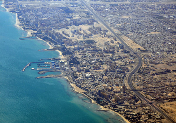
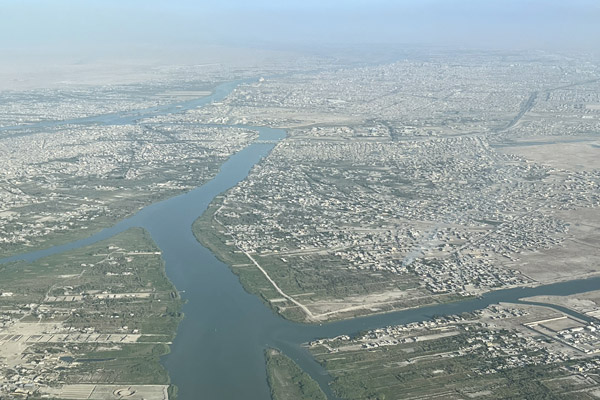
 Shatt Al Arab leading south to Basrah, Iraq |
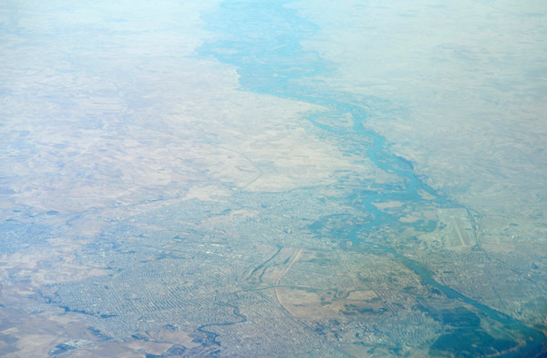
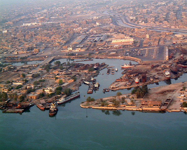
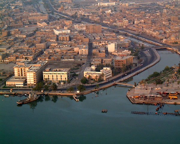
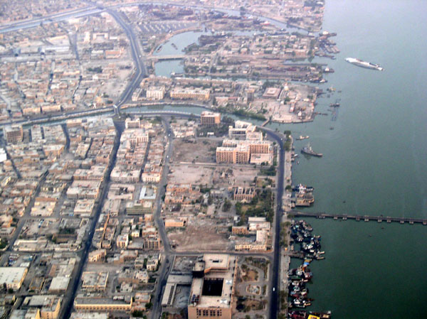
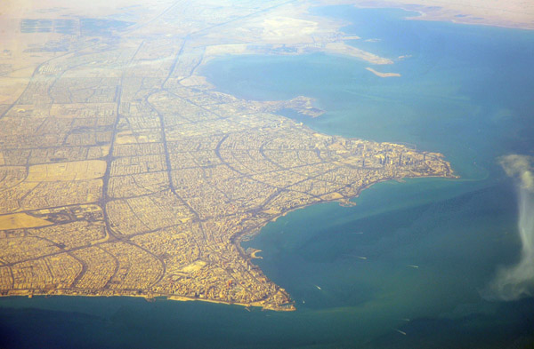
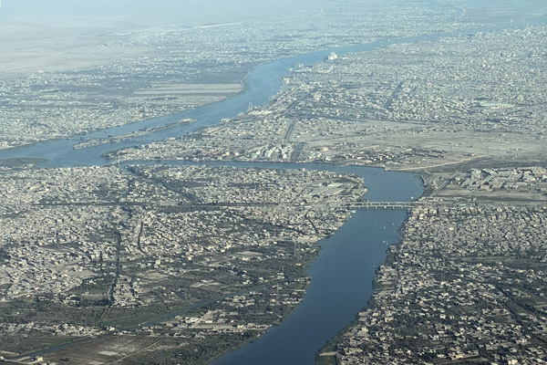
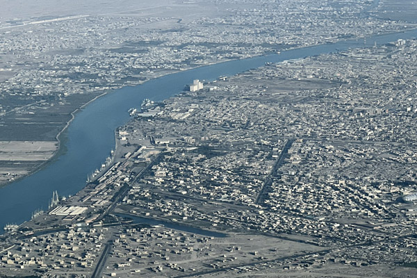
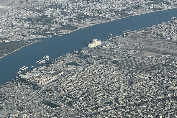
 Basrah, Iraq |
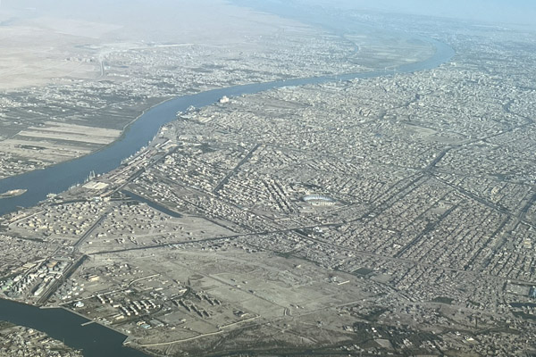
 Basrah, Iraq |
 Shatt al-Arab (combined Tigris and Euphrates) Iran/Iraq border, near Basra |
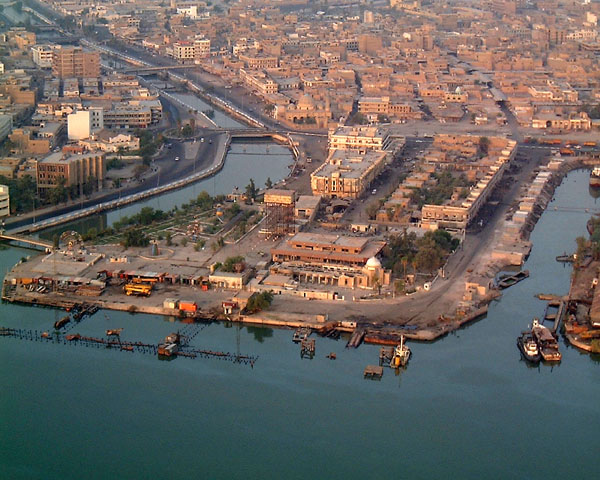
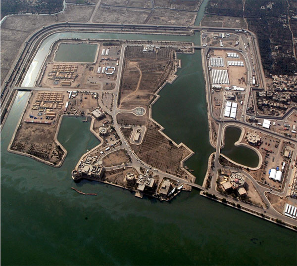 Basrah Palace, Iraq |
 Al Mazlaq, Basrah, Iraq |
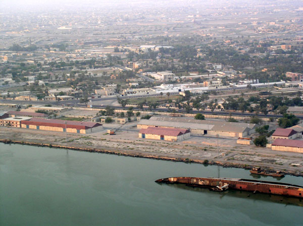 Basrah docks with shipwreck, Iraq |
 Looking east-southeast, Basrah, Iraq |
 Manawi al-Basha, Basrah, Iraq |
 Nahr Al Krawrah, Basrah, Iraq |
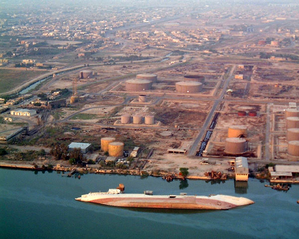 Oil refinery with shipwreck, Basrah, Iraq |
 PSAB, Basrah, Iraq |
 Basrah, Iraq with Saddam's sunken yacht in the upper right |
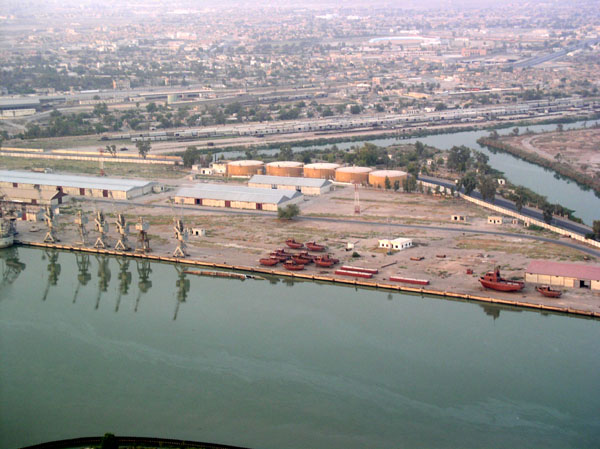 Shipyard, Shatt Al-Arab waterway, Basrah, Iraq |
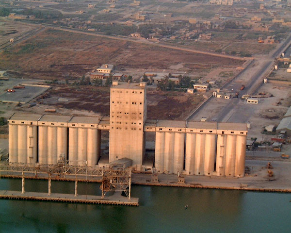 Docks with grain elevators, Basrah, Iraq |
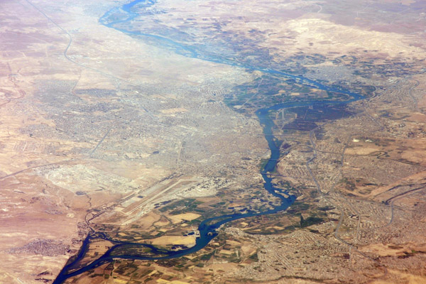
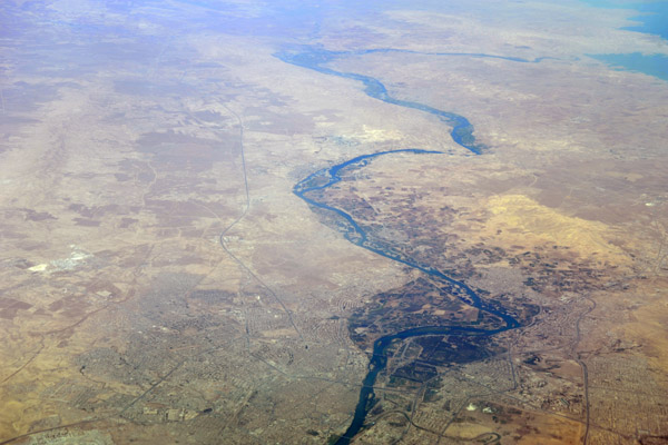
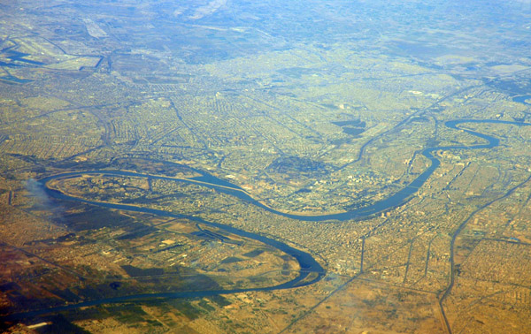
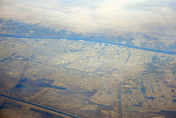
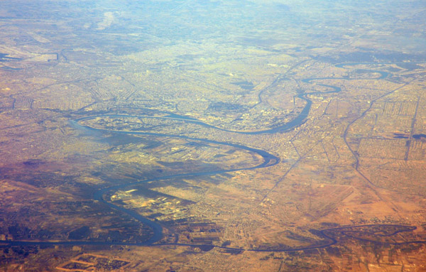
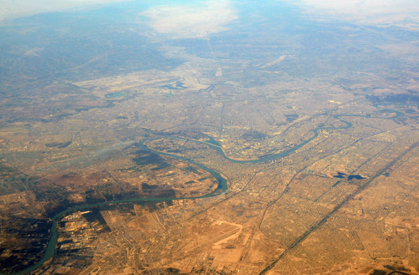
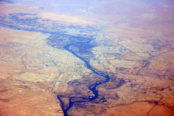
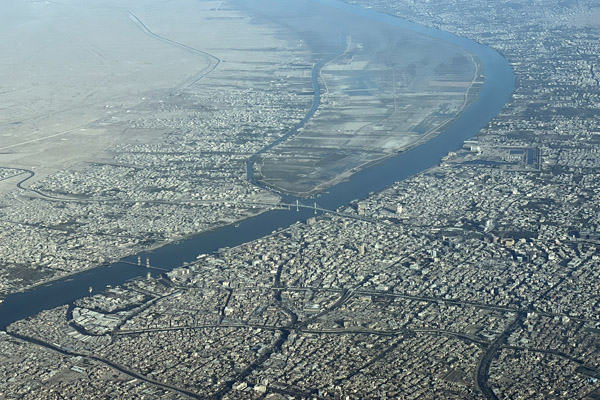
 Tigris River, Baghdad, Iraq |
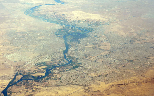
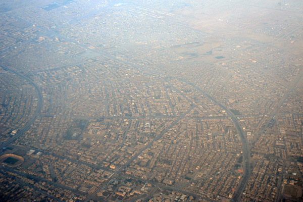
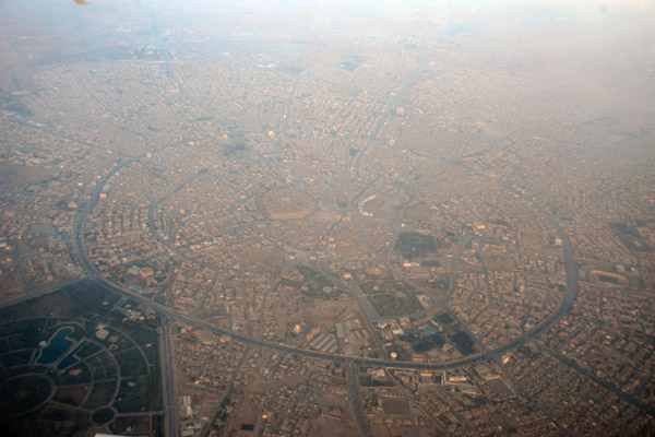
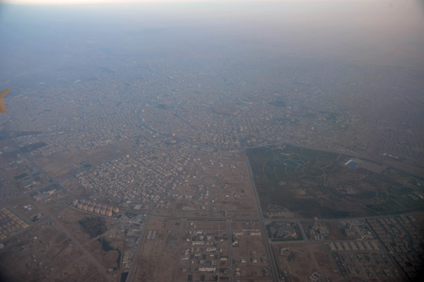
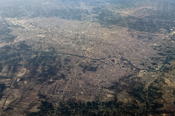
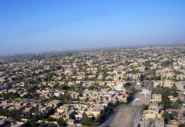 Baghdad, Iraq |
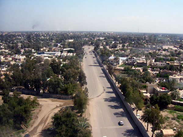
 Motorway through Baghdad, Iraq |
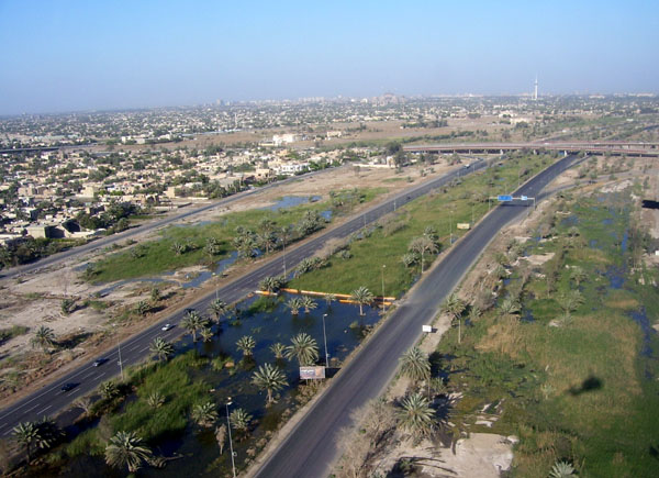
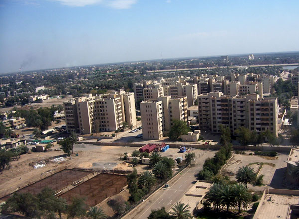
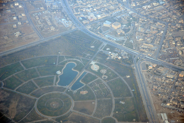
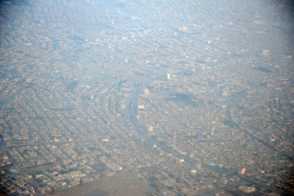
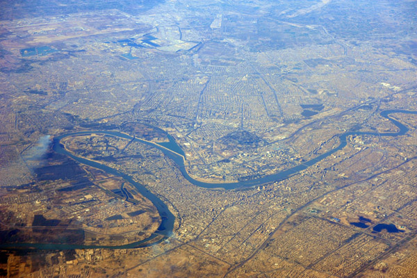
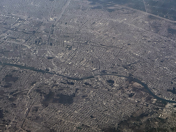
 Baghdad, Iraq |
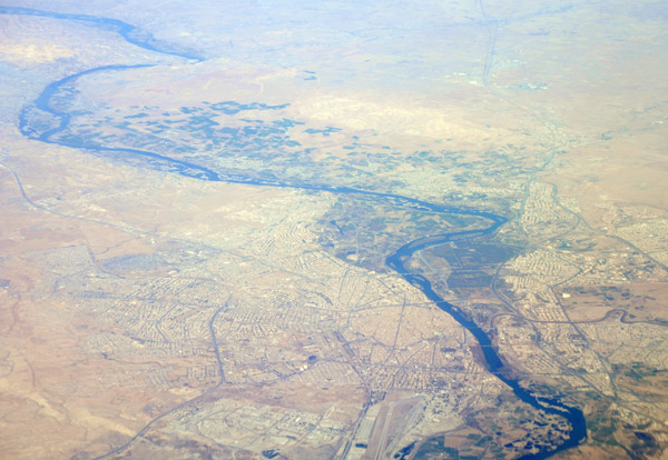
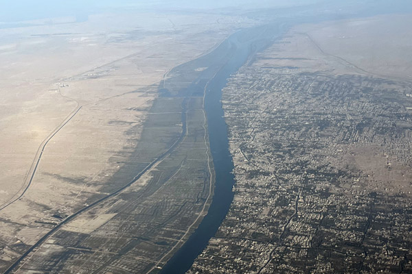
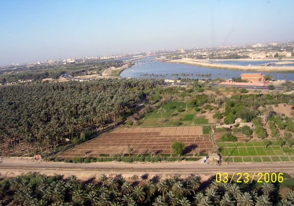 Agriculture and the Tigris River, Baghdad, Iraq |
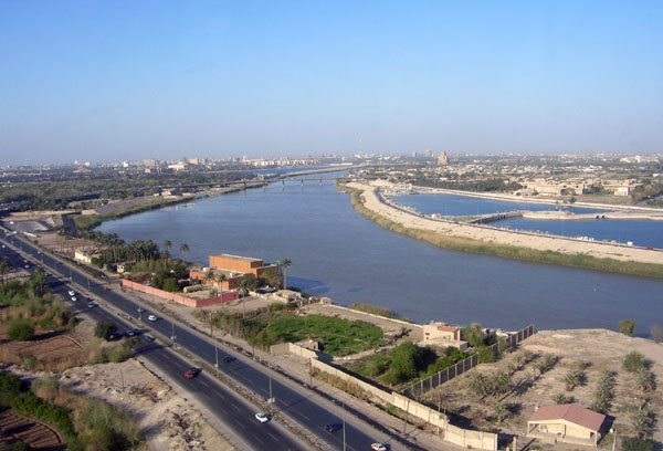 Tigris River, Baghdad, Iraq |
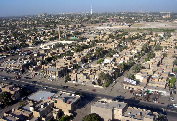
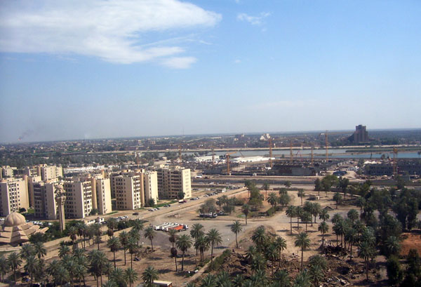
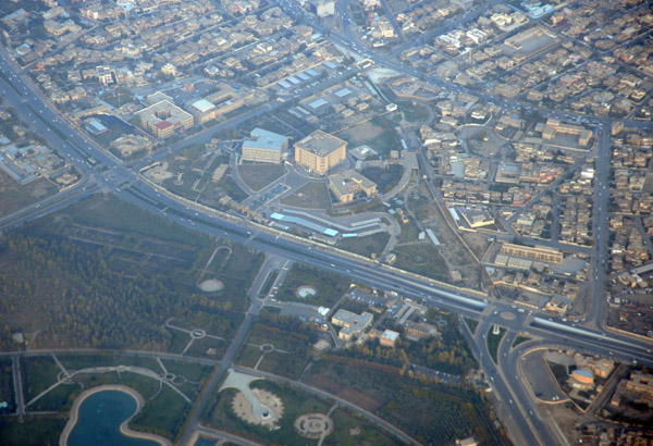
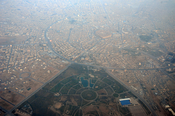
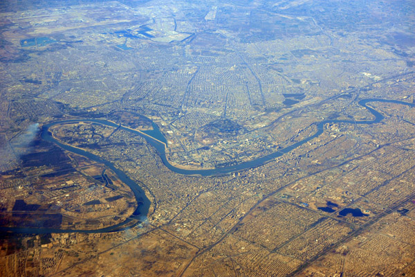
 Baghdad, Iraq |
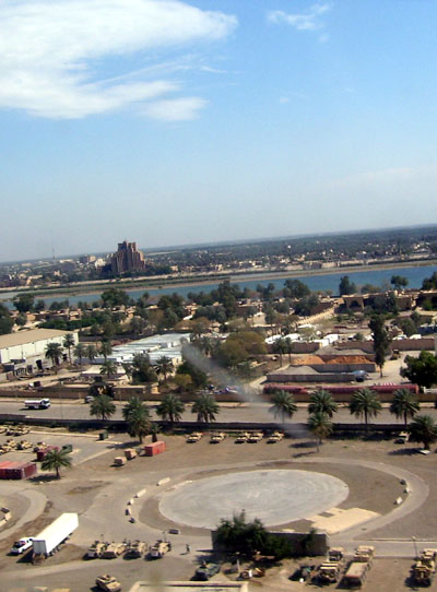
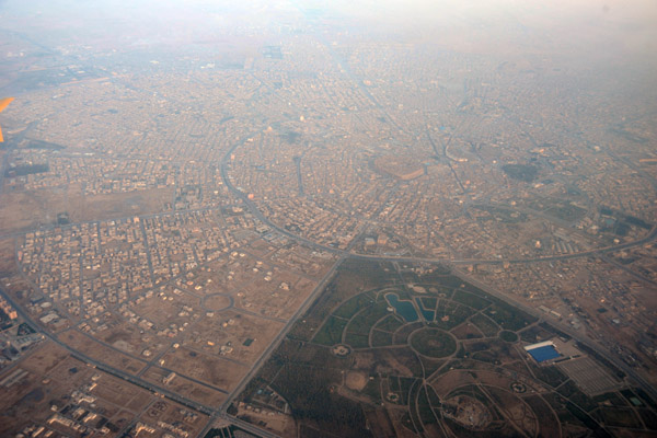
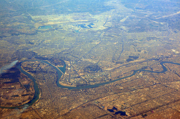
 Baghdad, Iraq |
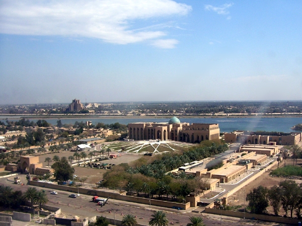
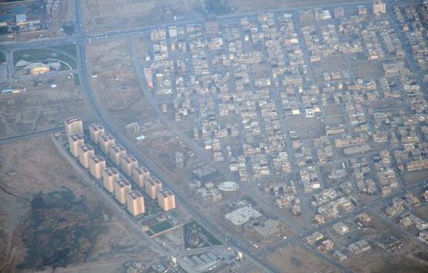
 Baghdad, Iraq |
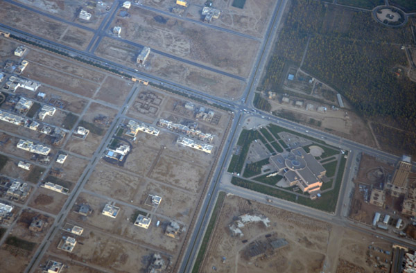
 Baghdad, Iraq |
 Baghdad, Iraq |
 Baghdad, Iraq |
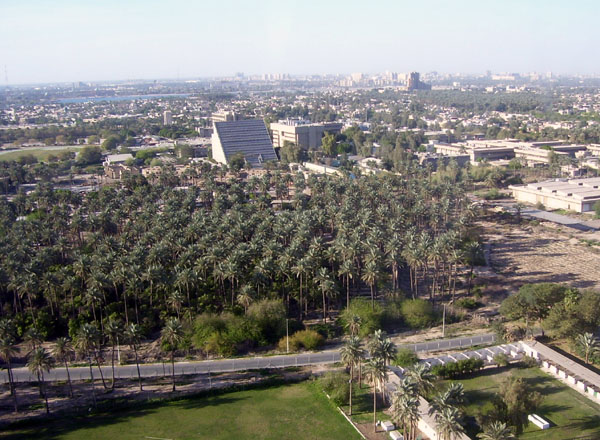
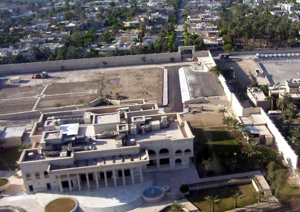
 Palace on the Tigris River, Baghdad, Iraq |
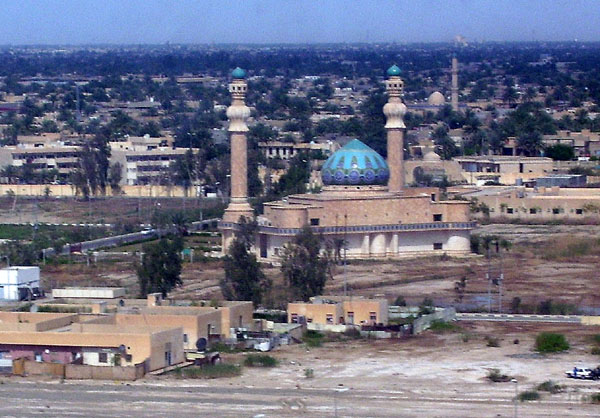 Mosque in Baghdad, Iraq |
 Mosul, Iraq, at night |
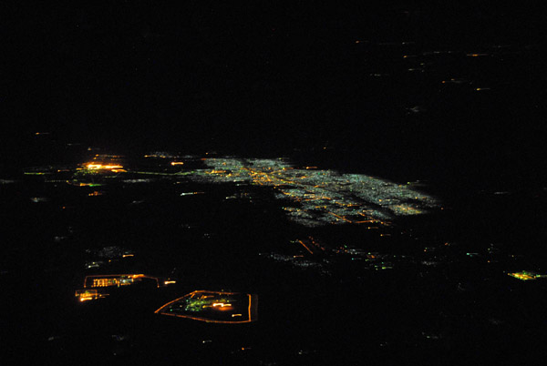
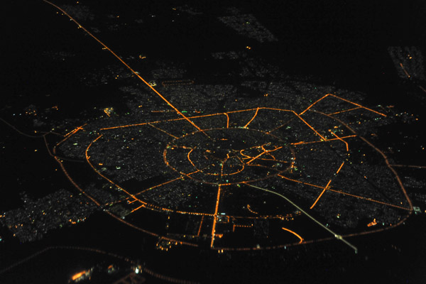
 Erbil, Iraq, at night |
 Erbil, Iraq, at night |
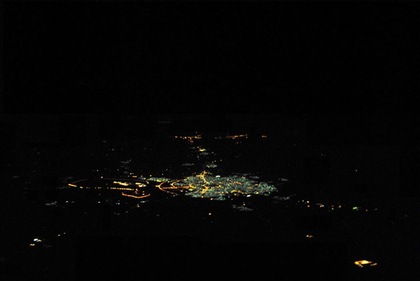
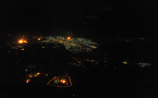
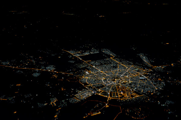
 Kirkuk, Iraq, at night |
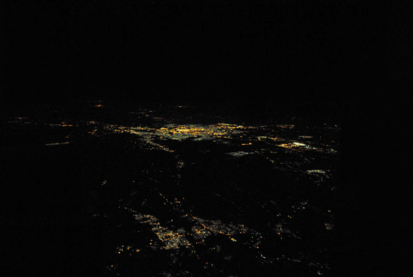
 Kirkuk, Iraq, at night |
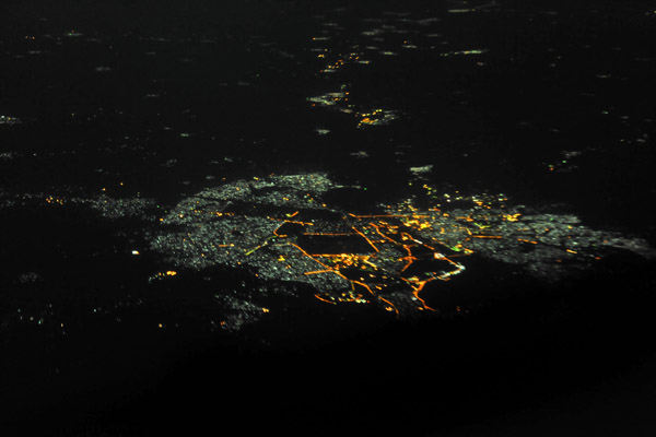
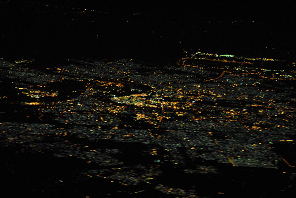
 Night aerial of Baghdad seen from the NE |
 Night aerial of Baghdad seen from the NE |
 Aerial of Baghdad at night |
 Aerial of Baghdad at night |
 Al Zubayr, Basra Governate, Iraq |
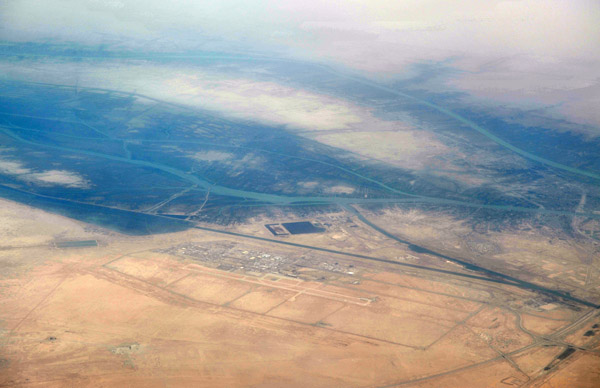 Basra Airport (BSR/ORMM) Iraq |
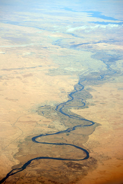
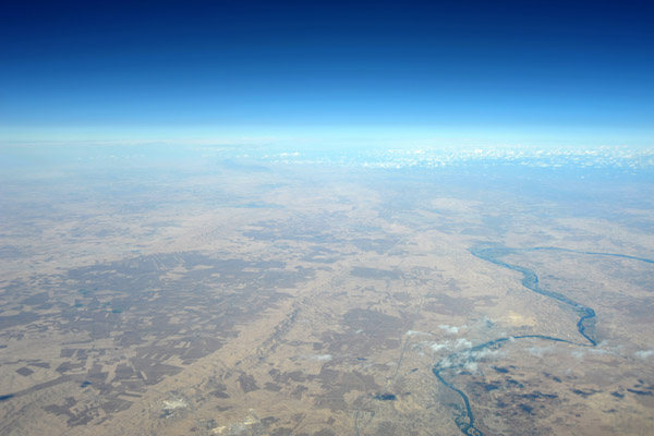
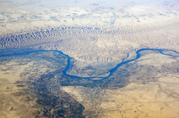
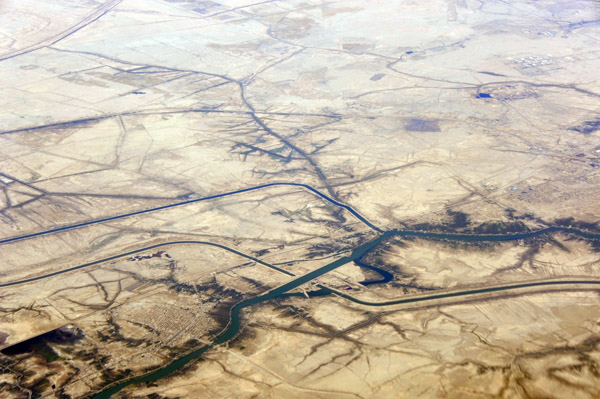
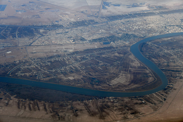
 Tigris River 60 km south of Mosul, Iraq |
 Tigris River 60 km south of Mosul, Iraq |
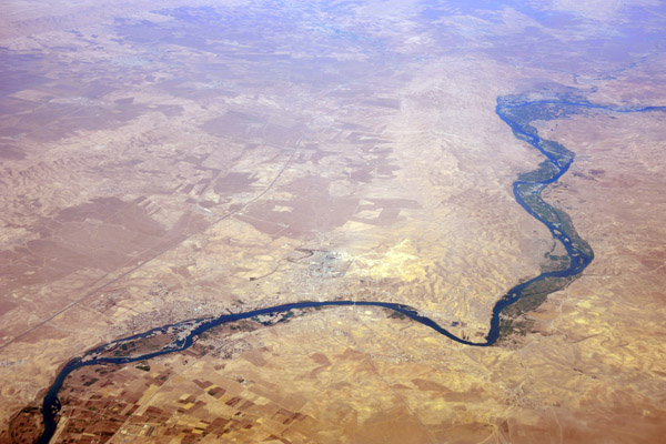
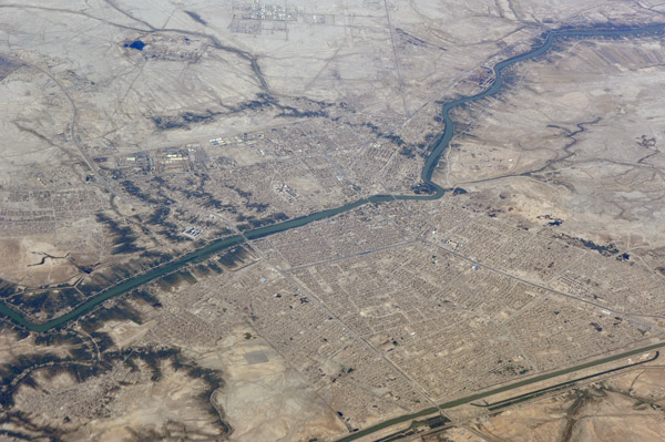
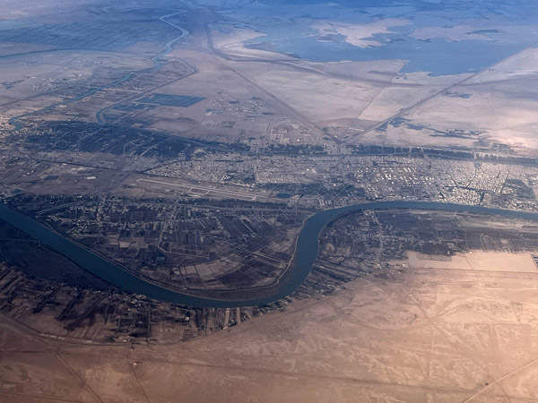
 Tigris River south of Mosul, Iraq |
 Tigris River south of Mosul, Iraq |
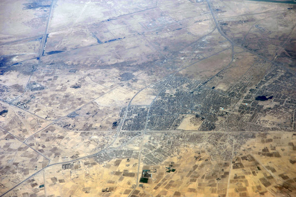
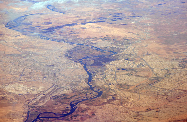
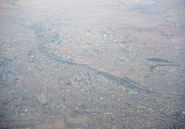
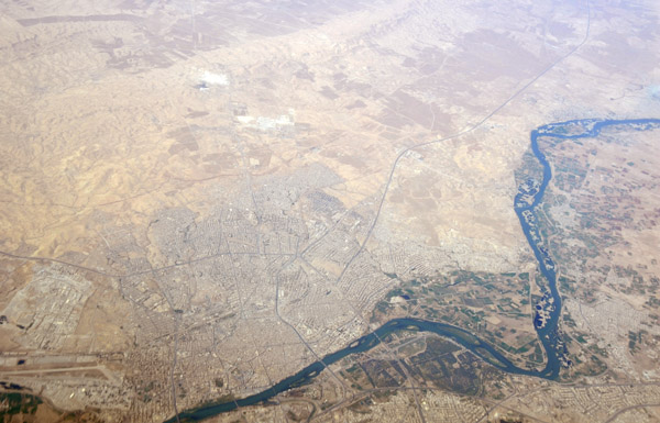
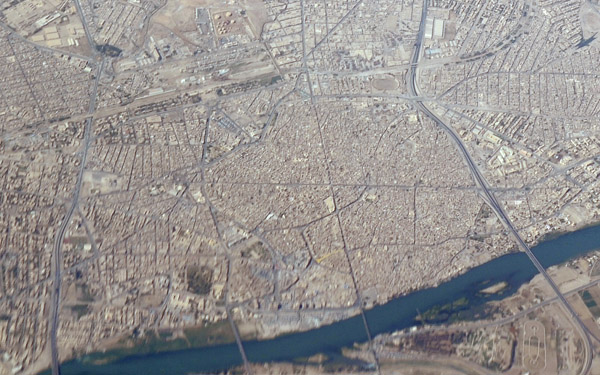
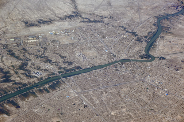
 Mosul, Iraq |
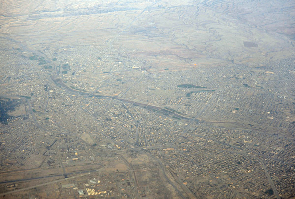
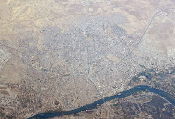
 Mosul, Iraq |
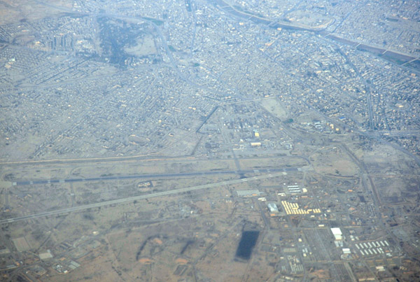
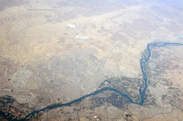
 Mosul, Iraq |
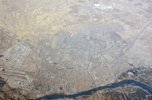
 Mosul, Iraq |
 Mosul, Iraq |
 Mosul, Iraq |
 Tigris River, north of Mosul, Iraq |
 Tigris River north of Mosul, Iraq |
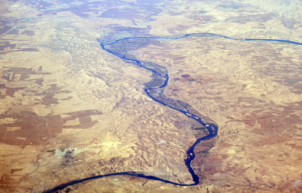 Tigris River, north of Mosul, Iraq |
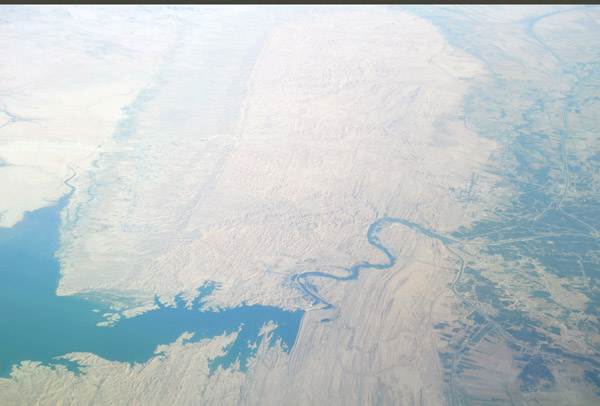
 Al Mosul Dam, Iraq |
 Al Mosul Dam on the Tigris River, Iraq |
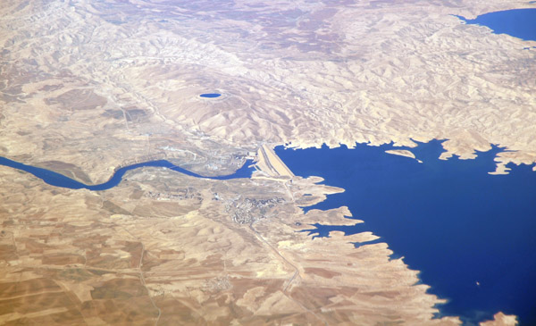 Al Mosul Dam on the Tigris River, Iraq |
 Al Mosul Dam on the Tigris River, Iraq |
 Al Mosul Dam on the Tigris River, Iraq |
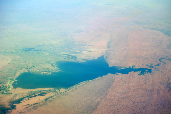
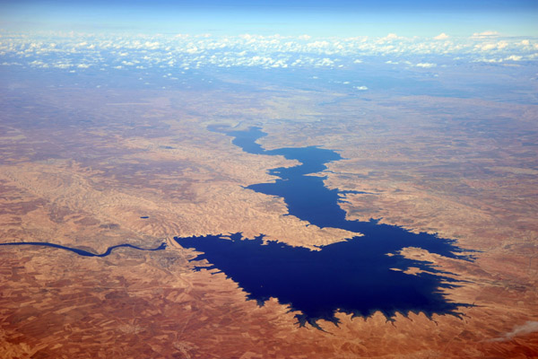
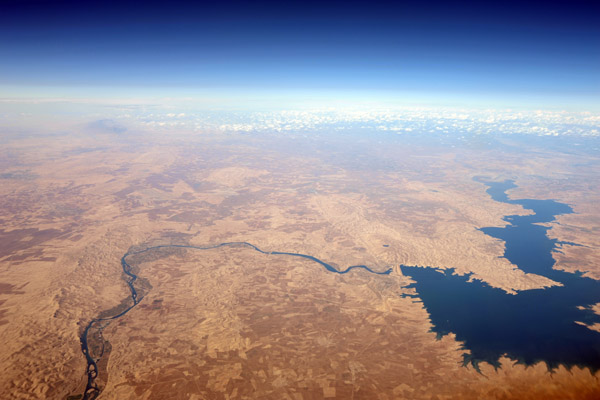
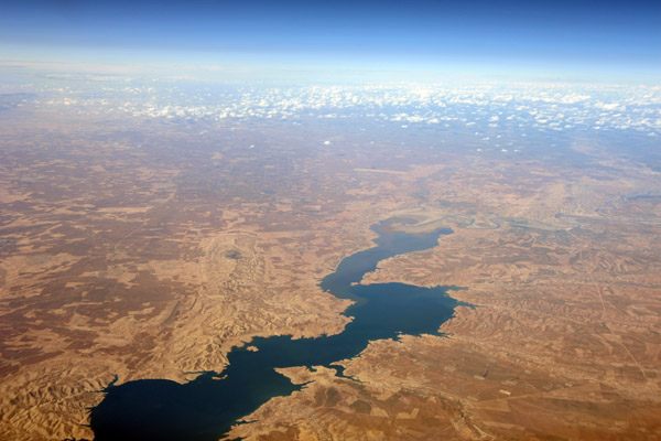 Lake formed by the Al Mosul Dam, Iraq |
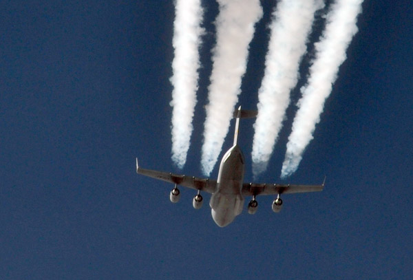
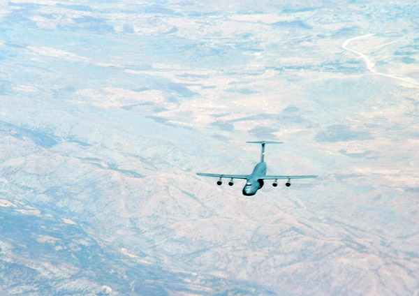 USAF C-5 Galaxy crossing the northern Iraqi border |
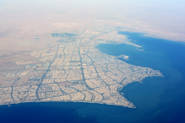
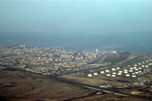 Southern coast of Kuwait |
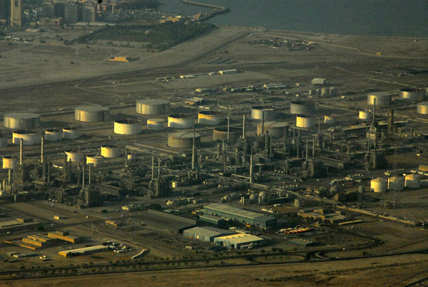 Oil installation, Kuwait |
 Nightfall, Kuwait |
 Kuwait |
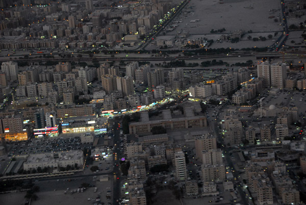
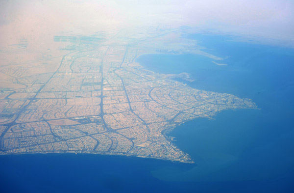
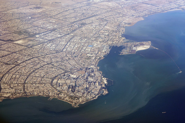
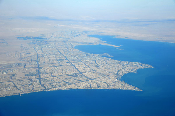
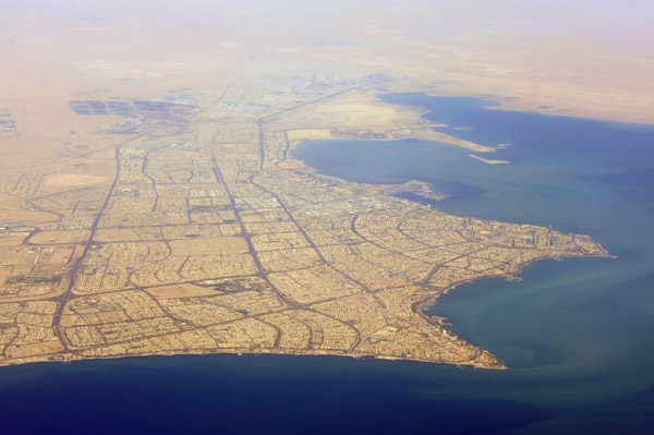
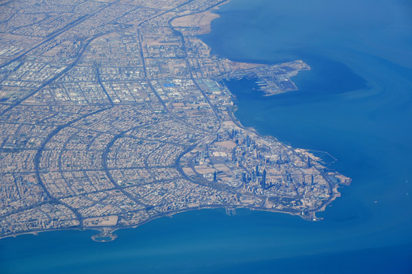
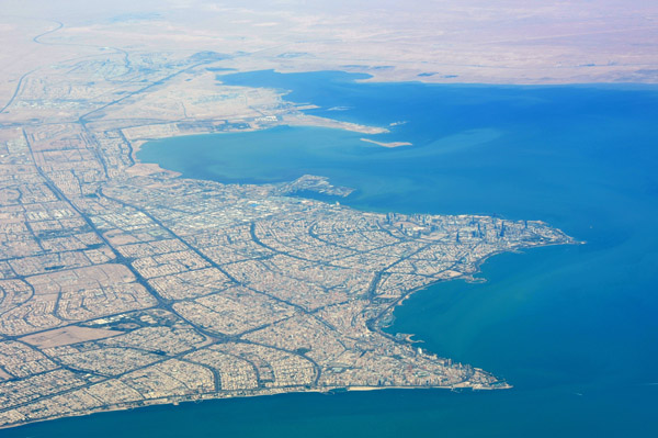
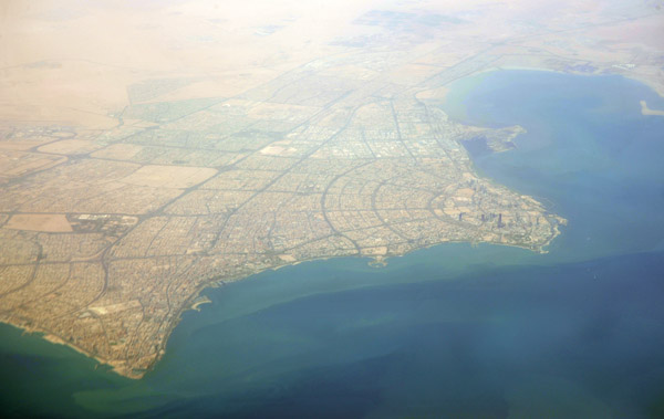 Kuwait City |
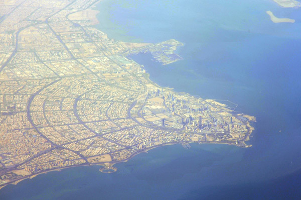
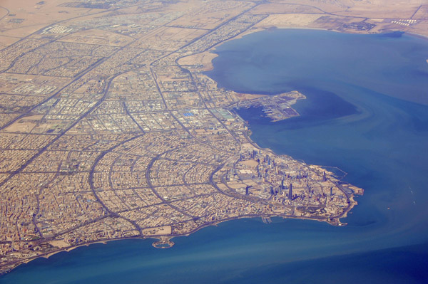
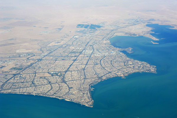
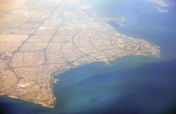 Kuwait City |
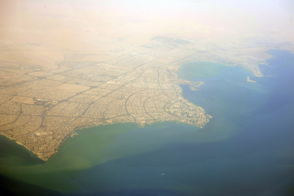
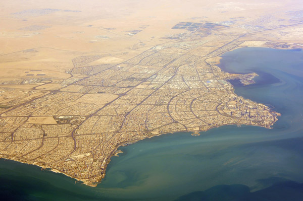
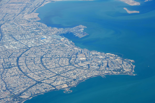
 Kuwait City |
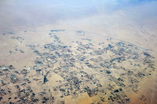 Agriculture in the far north of Kuwait along the road to Basra |
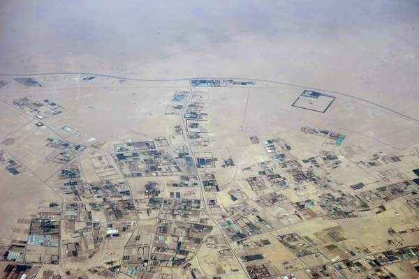 Agriculture in the far north of Kuwait along the road to Basra |
 Iraqi Kurdistan on the Turkish border near Dahuk, Iraq |
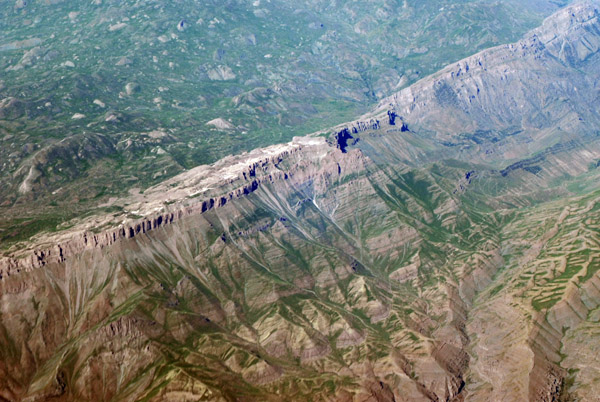
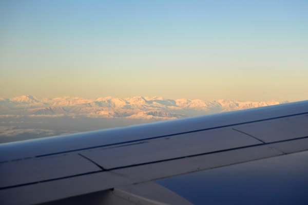 Snowcapped mountains, Iraqi Kurdistan |
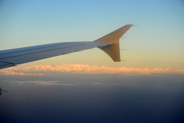 Snowcapped mountains, Iraqi Kurdistan |
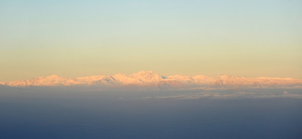 Snowcapped mountains, Iraqi Kurdistan |
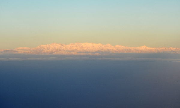 Snowcapped mountains, Iraqi Kurdistan |
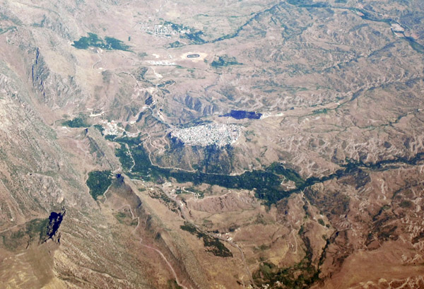
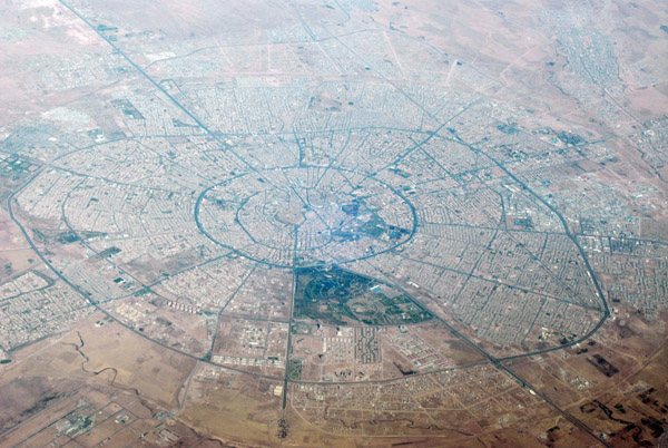
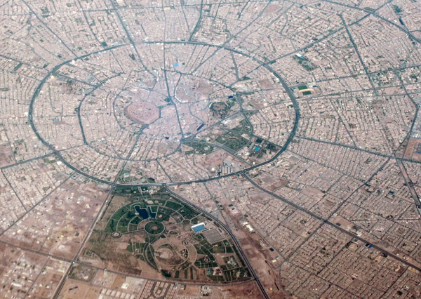
 Erbil, Iraq (Kurdistan) |
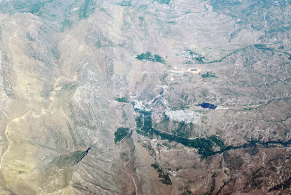
 Erbil, Iraq (Kurdistan) |
 Erbil, Iraq (Kurdistan) |
 Erbil, Iraq (Kurdistan) |
 Erbil, Iraq (Kurdistan) |
 Parliament of Iraqi Kurdistan |
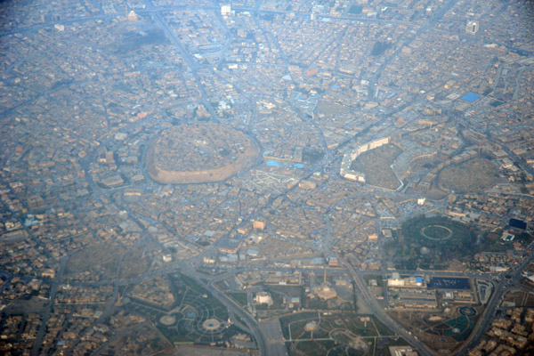
 Erbil Citadel, Iraq |
 Erbil, Iraq (Kurdistan) |
 Erbil, Iraq (Kurdistan) |
 Erbil, Iraq (Kurdistan) |
 Erbil, Iraq (Kurdistan) |
 Erbil, Iraq (Kurdistan) |
 Erbil, Iraq (Kurdistan) |
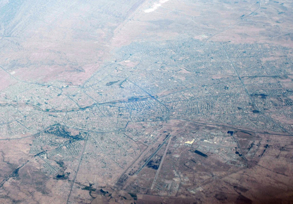
 North of Erbil Airport, Iraq |
 North of Erbil Airport, Iraq |
 Baghdad, Iraq |
 Baghdad, Iraq |
 Baghdad, Iraq |
 Baghdad, Iraq |
 USAF C-17 over northern Iraq |
 Erbil, Iraqi Kurdistan, at night |
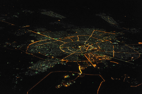 Erbil, Iraqi Kurdistan, at night |
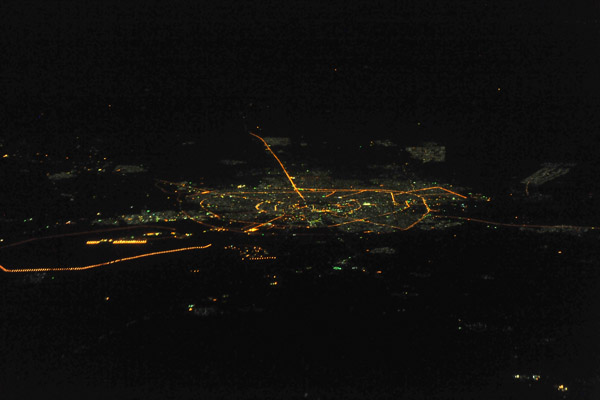
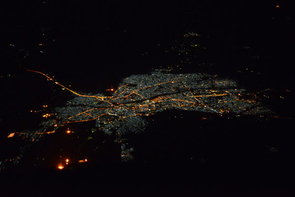
 Basra, Iraq, at night |
 Irrigation from the Euphrates River, Al-Qādisiyyah Governorate, Iraq |
 Shayka Mazhar Airbase, Iraq - south of Baghdad |
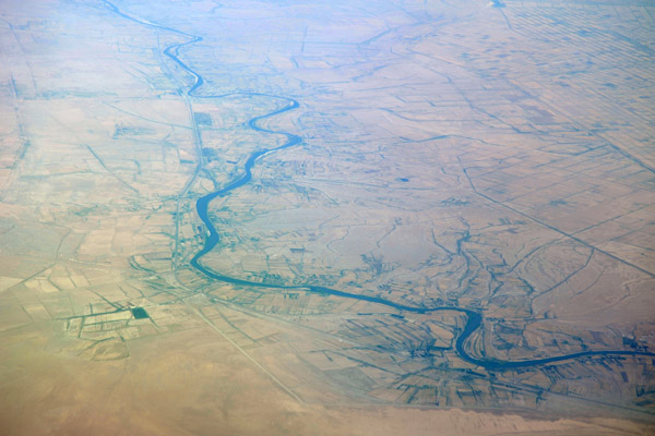
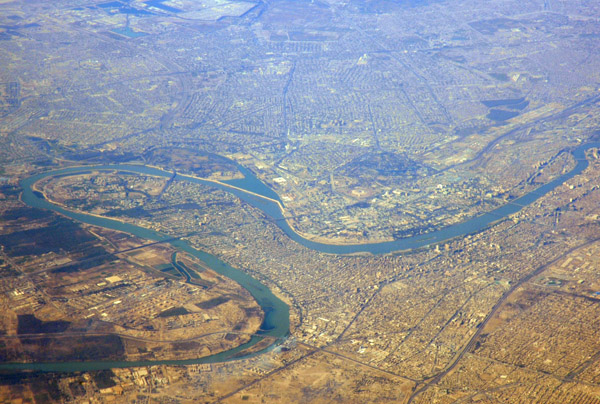
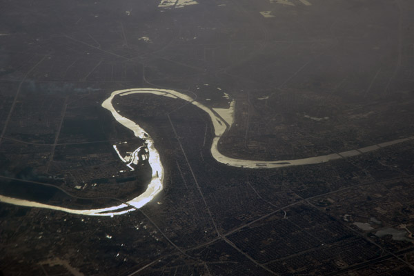 Loop in the Tigris River at Baghdad, Iraq |
 Basra, Iraq |
 Tawuq, Salāh ad-Dīn Governate, Iraq |
 Tawuq, Salāh ad-Dīn Governate, Iraq |
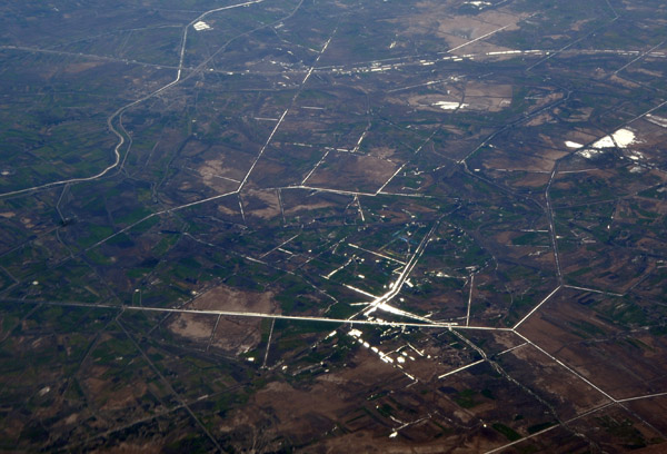
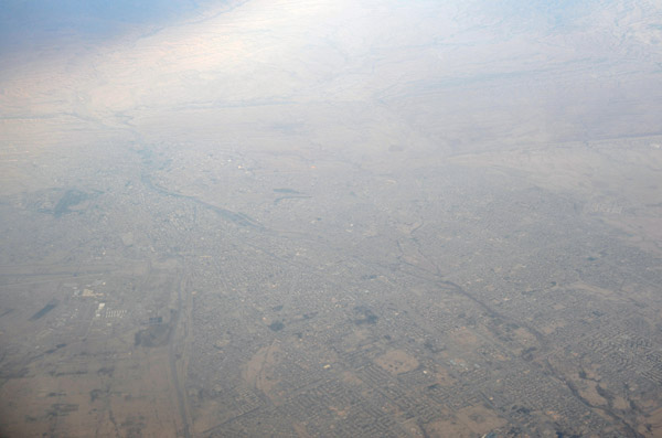
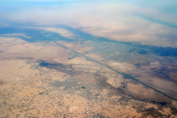
 Late afternoon just south of Kirkuk, Iraq |
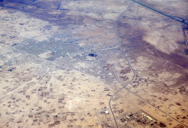
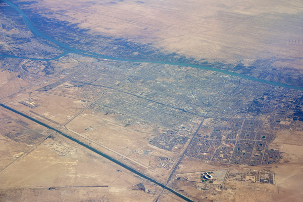
 Kirkuk, Iraq |
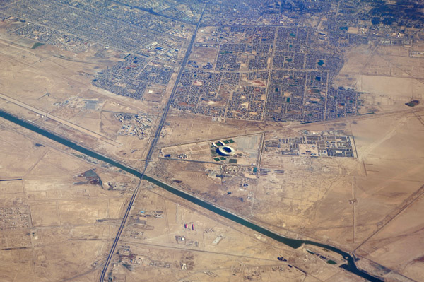
 Kirkuk, Iraq |
 Kirkuk, Iraq |
 Kirkuk, Iraq |
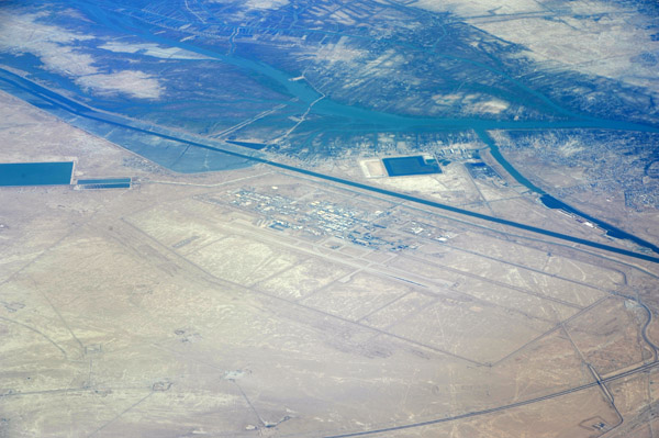
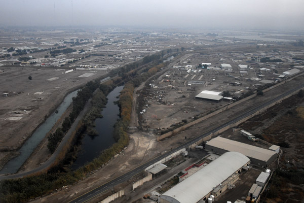
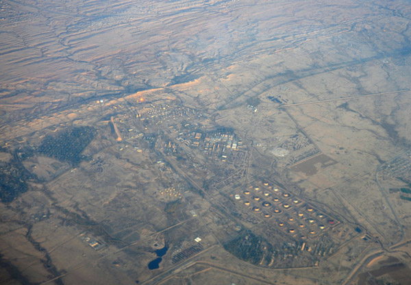 Oil facilities, Kirkuk, Iraq |
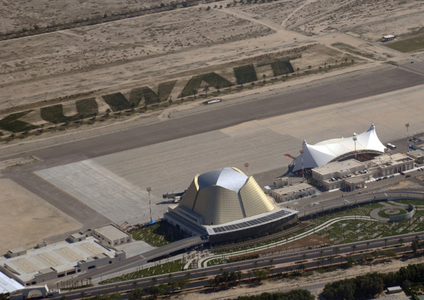
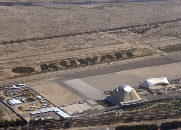
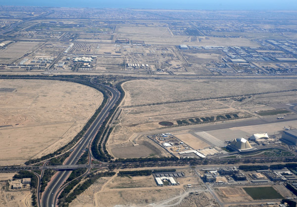
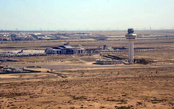 Kuwait International Airport |
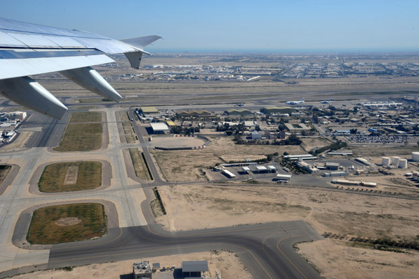 Departing to the north at Kuwait International Airport |
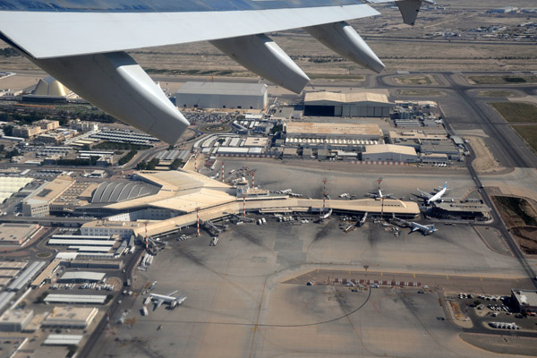 Passenger terminal, Kuwait International Airport |
 Passenger terminal, Kuwait International Airport |
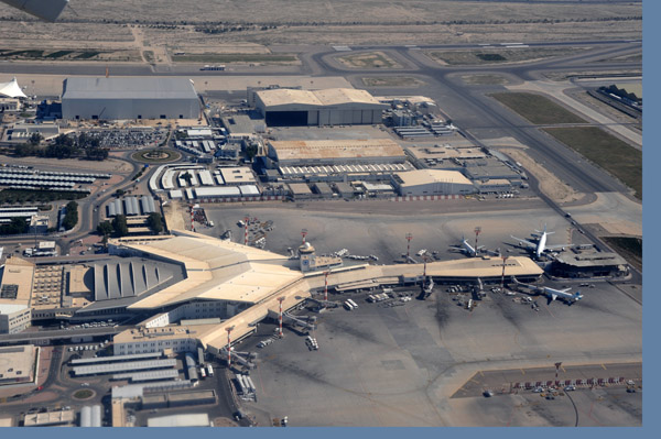
 Kuwait International Airport |
 Kuwait International Airport |
 Kuwait - Gazali Expy |
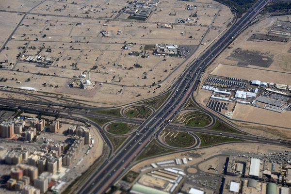
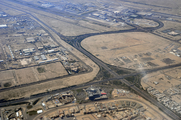
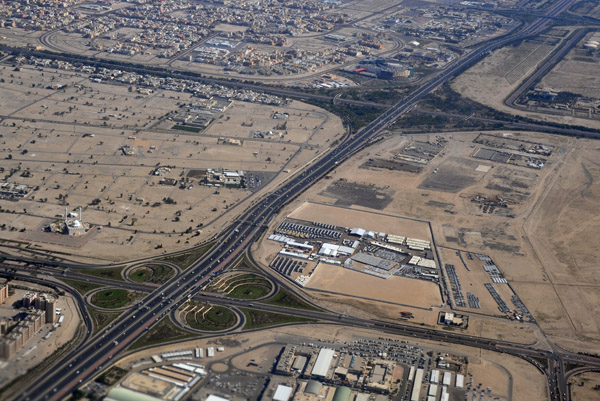 Kuwait - Sixth Ring Road interchanges |
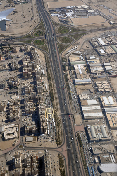
 Kuwait - Sixth Ring Road / Airport Road interchange |
 Kuwait - Sixth Ring Road |
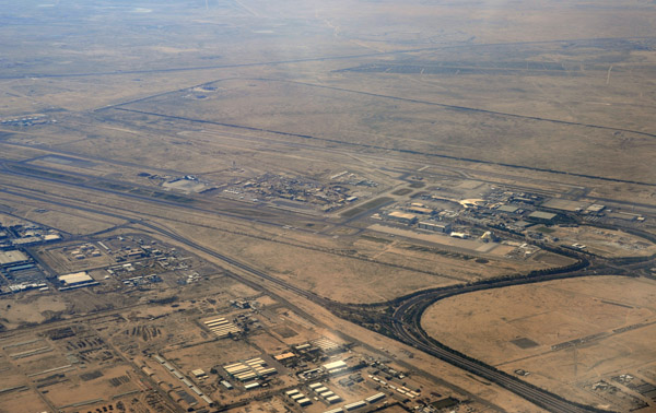
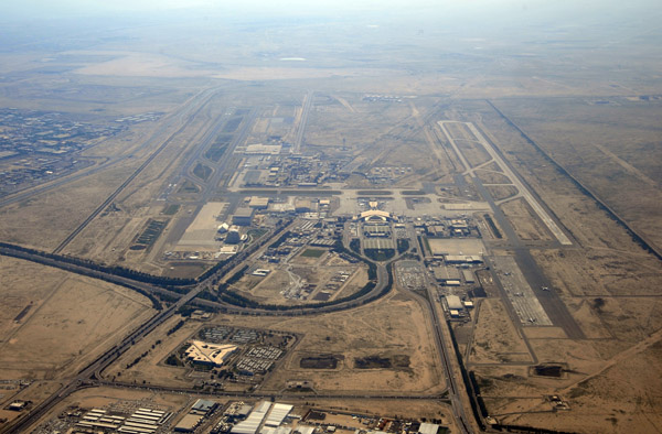 Kuwait International Airport, looking south |
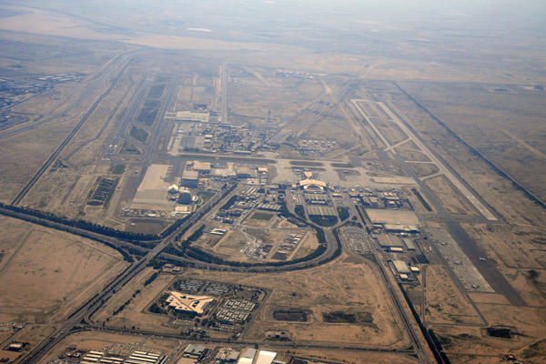 Kuwait International Airport, looking south |
 Kuwait - Sixth Ring Road / Magwa Road interchange |
 Kuwait International Airport |
 Kuwait - Al Fintas |
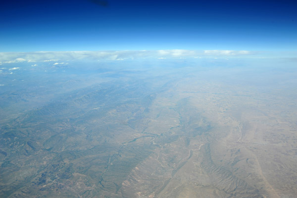
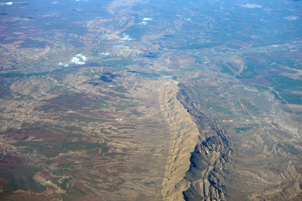
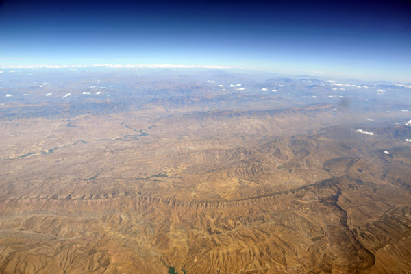
 Mountains along the Turkish-Iraq border |
 Al Amadiyah, Dahuk Governate, Iraqi Kurdistan |
 Al Amadiyah, Dahuk Governate, Iraqi Kurdistan |
 Erbil, Iraqi Kurdistan |
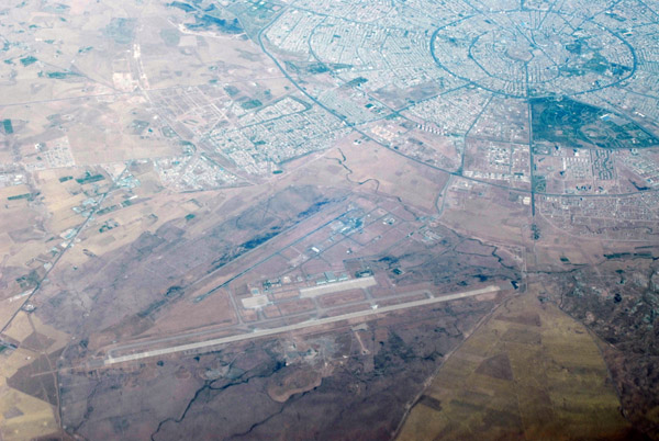 Erbil International Airport (ORER/EBL), Iraqi Kurdistan |
 Erbil, Iraqi Kurdistan |
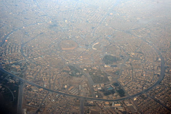
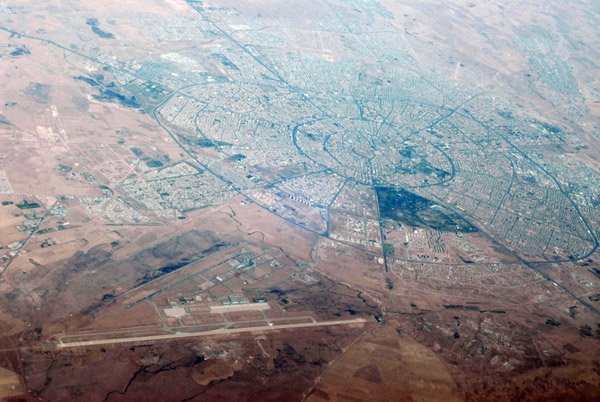
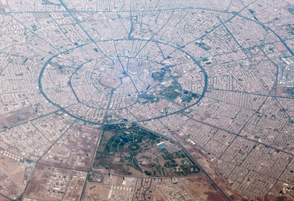 Ring roads of Erbil encircle the ancient citadel |
 Central Erbil, Iraqi Kurdistan |
 Kirkuk, Iraq |
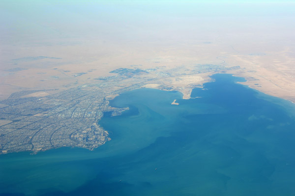
 Kuwait |
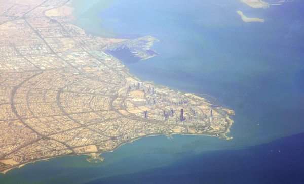
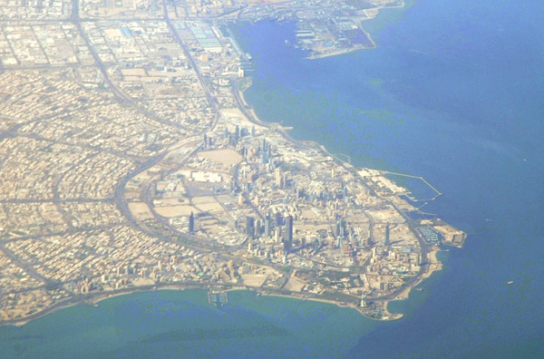
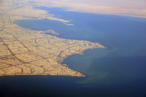
 Kuwait City |
 Kuwait |
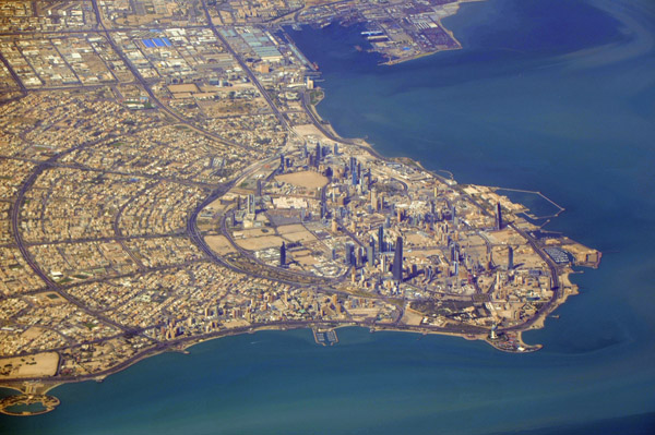
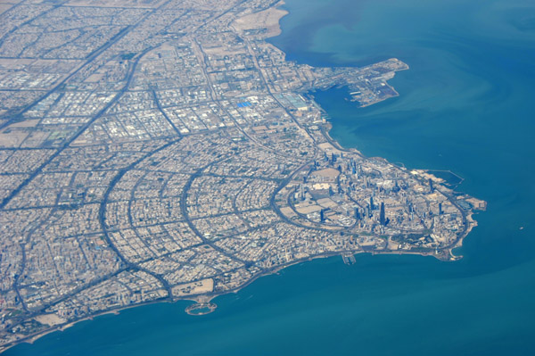
 Central Kuwait City |
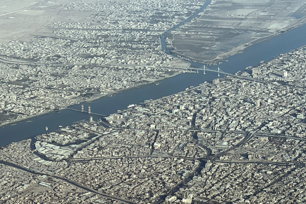
 Basra, Iraq |
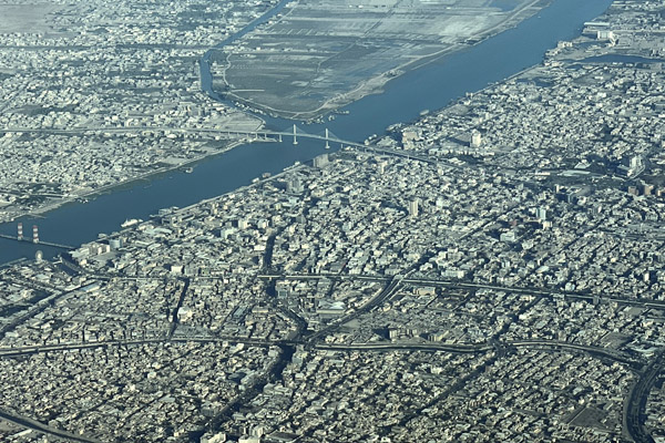
 Basra, Iraq |
 Basra, Iraq |
 Basra, Iraq |
 Al Zubayr, Basra Governate, Iraq |
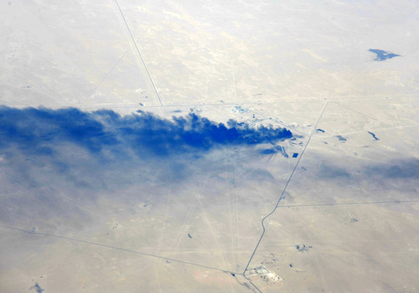 Black smoke plume from an oil installation near Basra, Iraq |
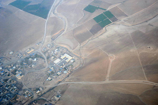
 Baqubah, Diyala Governorate, Iraq |
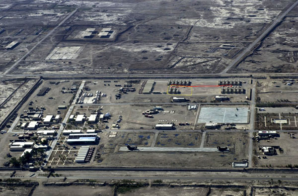
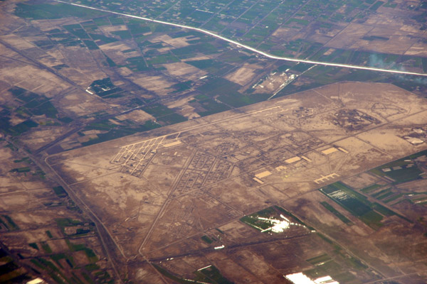
 Balad Southeast Airbase, Salah ad Din Governorate, Iraq |
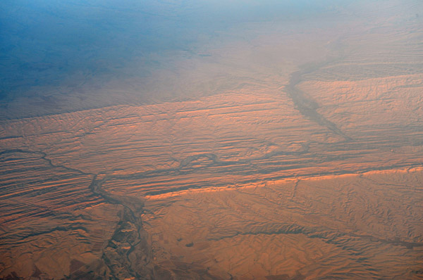
 The Tigris west of Kirkuk, Iraq |
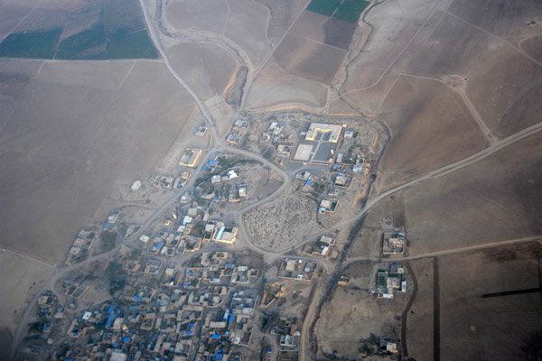
 Shaykh, Iraq |
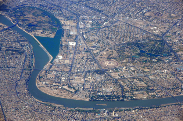
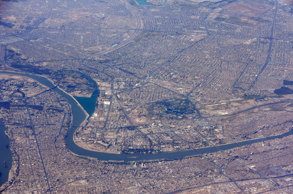
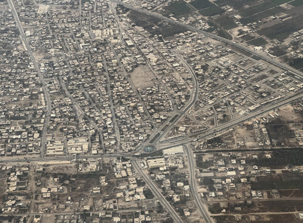
 Mosul, Iraq |
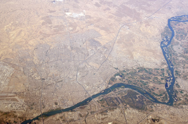 Mosul, Iraq |
 Mosul, Iraq |
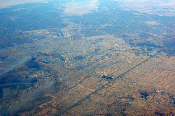
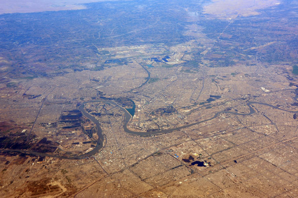
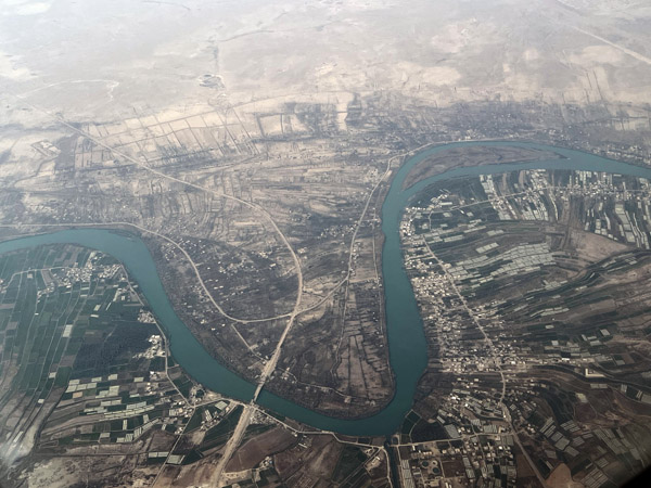
 Central Mosul, Iraq |
 Mosul, Iraq |
 Mosul, Iraq |
 Mosul, Iraq |
 Looking north across the mountains from Iraq into Turkey |
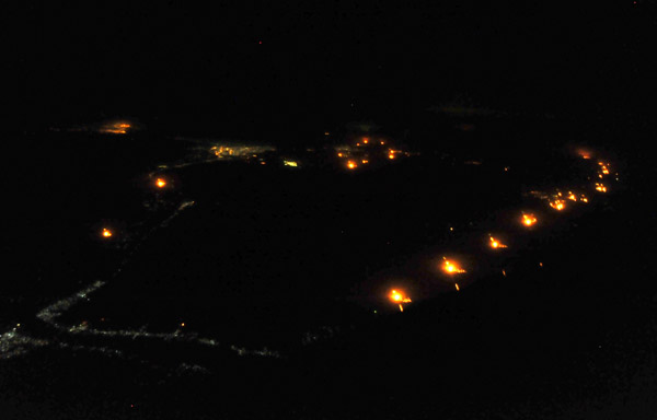 Flares from oil wells outside Basra, Iraq |
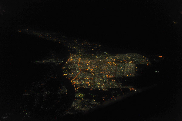
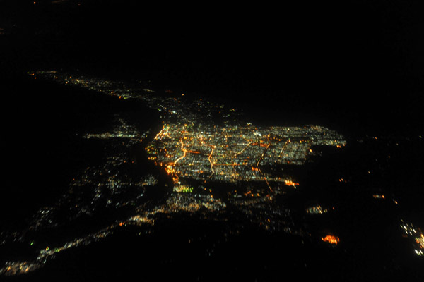 Basra, Iraq, at night |
 Kuwait |
 Kuwait |
 The Tigris River cutting through a ridge at Laqlal, Iraq |
 Shakyk, Iraq, on the Tigris west of Kirkuk |
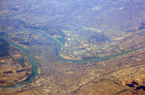
 Baghdad, Iraq |
 Baghdad, Iraq |
 Baghdad, Iraq |
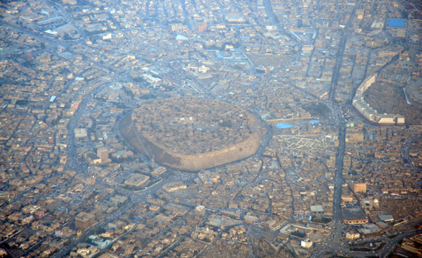
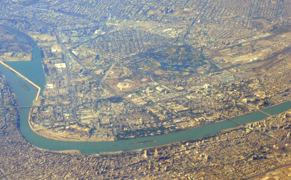 Central Baghdad, Iraq |
 Baghdad, Iraq |
 The Tigris River just south of Tikrit - Saddam captured here |
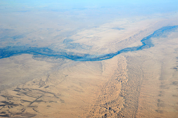 The Tigris River cutting through a ridge at Laqlal, Iraq |
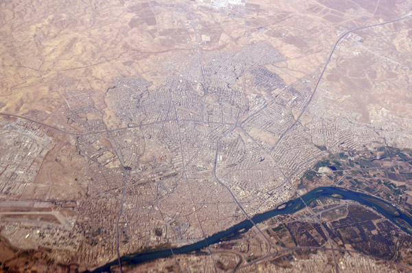
 Mosul, Iraq |
 Mosul, Iraq |
 Nasiriah, Iraq |
 Nasiriah, Iraq |
 Baghdad, Iraq |
 Baghdad, Iraq |
 Baghdad, Iraq |
 Kuwait City |
 Kuwait City |
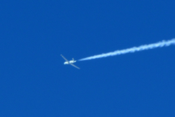 USAF drone at high altitude over southern Iraq |
 Nasiriah, Iraq |
 Nasiriah, Iraq |
 Baghdad, Iraq |
 Baghdad, Iraq |
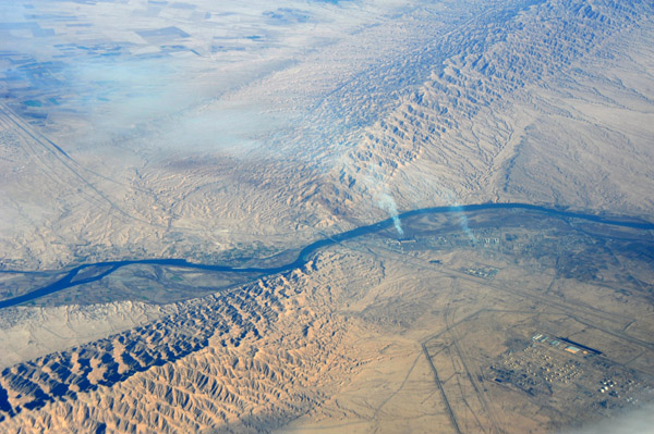
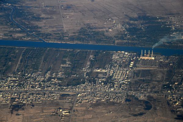
 Baiji Oil Refinery, Tigris River, Iraq |
 Kuwait City |
 Kuwait City |
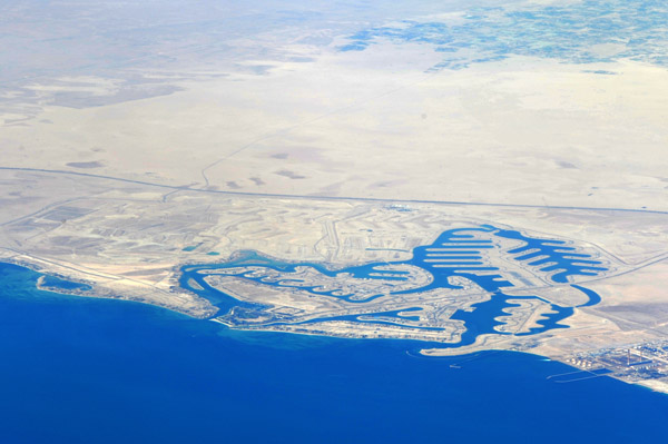
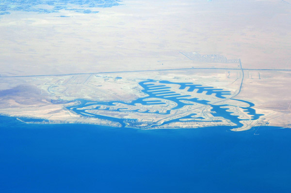 Al Khiran, Kuwait |
 Kuwait City |
 Kuwait City |
 Kuwait City |
 Kuwait City |
 Kuwait City |
 Kuwait |
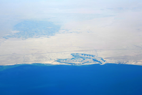 Al Khiran and Al Wafra, Kuwait |
 Al Khiran, Kuwait |
 Kuwait City |
 Kuwait City |
 Kuwait City |
 Kuwait City |
 Abdali, Kuwait |
 Basra, Iraq |
 Basra Sports City, Iraq |
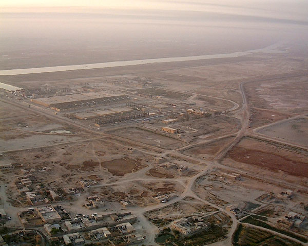
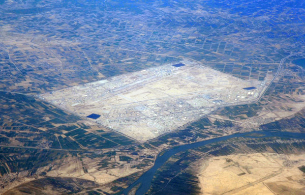
 Basra International Airport, Iraq |
 Baghdad, Iraq |
 Al-Fadhliyah, Iraq |
 Nasiriyah, Iraq |
 Nasiriyah, Iraq |
 Baghdad, Iraq |
 Baghdad, Iraq |
 Center of Baghdad, Iraq |
 Baghdad, Iraq |
 Erbil, Iraq, at night |
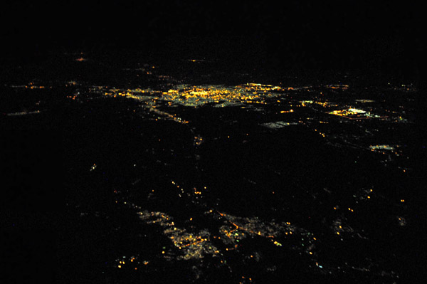
 Kirkuk, Iraq, at night |
 Tigris River, Bayji Oil Refinery, Salah Al-Din, Iraq |
 Al Khora, Iraq |
 Al Khora, Iraq |
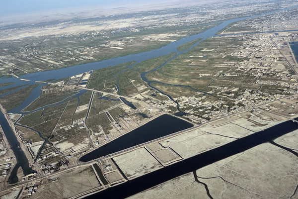
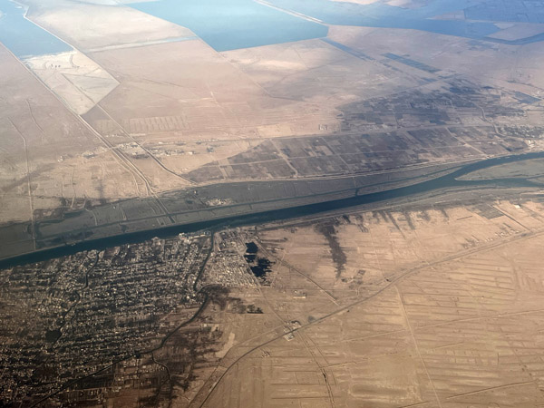
 Qamat Ali canal on the north side of Basra, Iraq |
 North side of Basra, Iraq |
 North side of Basra, Iraq |
 Shatt al-Arab, Basra, Iraq |
 Basra, Iraq |
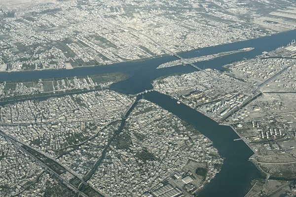 Junction of the Qamat Ali canal and the Shatt al-Arab, Basra |
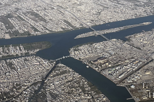 New Najibiya Bridge, Khalid bin Walid Bridge, Sinbad Island, Basra |
 Port of Basra, Iraq |
 Basra, Iraq |
 Salihiya Bridge, Shatt al-Arab, Basra |
 Salihiya Bridge, Shatt al-Arab, Basra |
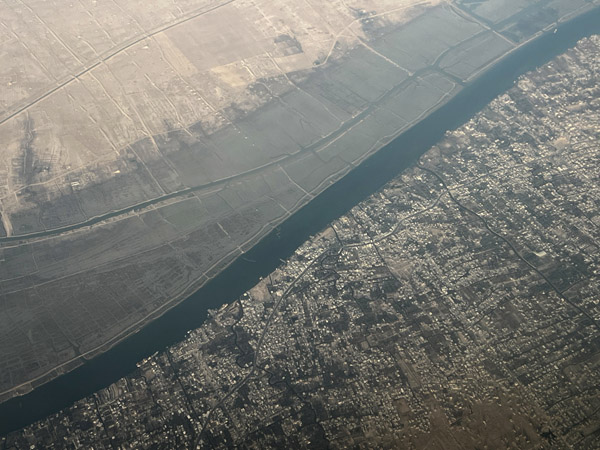
 Shatt al-Arab, Basra, Iraq |
 Shatt al-Arab, Abu Al-Khaseeb, Iraq |
 Hillah, Iraq |
 Hillah, Iraq |
 Euphrates River, Jurf Sakhar, Babil Governate, Iraq |
 Euphrates River, Yusufiyah |
 Euphrates River bridge at Salman al Husain, Iraq |
 Al-Karmah, Al Anbar Province, Iraq |
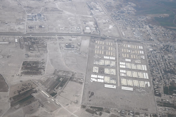 Military camp, Al-Karmah, Al Anbar Province, Iraq |
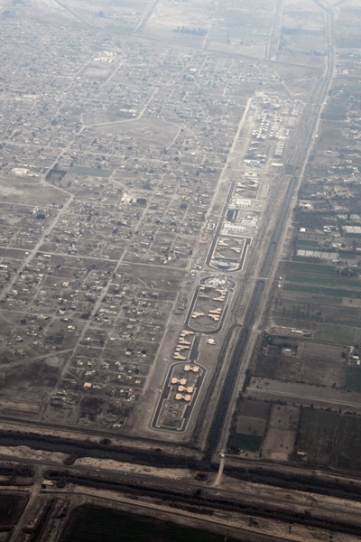 Sabaa Al Bour, Baghdad Governate, Iraq |
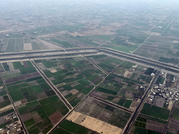 Canals at Al Salamiaat north of Baghdad Airport |
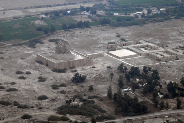 Ziggurat Aqar-Qūf north of Baghdad Airport |
 Road 10 on the north side of Baghdad Airport |
 Short Final Runway 15L at Baghdad International Airport |
 Al Hartha on the Shatt al-Arab north of Basra Airport |
 Hartha Power Station, Shatt al-Arab, Iraq |
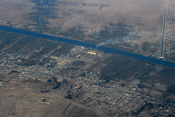 Hartha Power Station, Shatt al-Arab, Iraq |
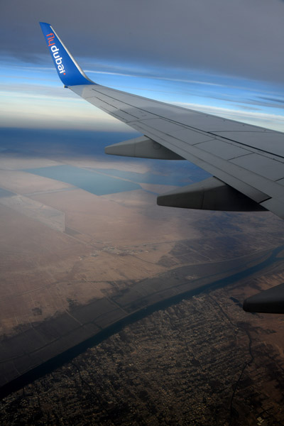 FlyDubai over the Shatt al-Arab, Iraq |
 Shatt al-Arab, Abu Al-Khaseeb, Iraq |
 Shatt al-Arab at Abu Al-Khaseeb, Shalamche Iraqi-Iranian Border |
 Shatt al-Arab, the Iraq-Iran border at Khorramshahr, Iran |
 Shatt al-Arab, the Iraq-Iran border, Khorramshar Airport, Iran |
 Shatt al-Arab, the Iraq-Iran border, Khorramshar Airport, Iran |
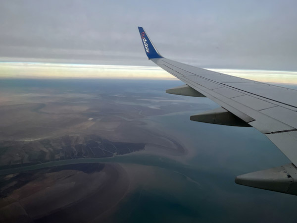 FlyDubai crossing over the Gulf at the mouth of the Shatt al-Arab |
| comment | share |
| joseantonio | 02-Jun-2020 09:42 | |