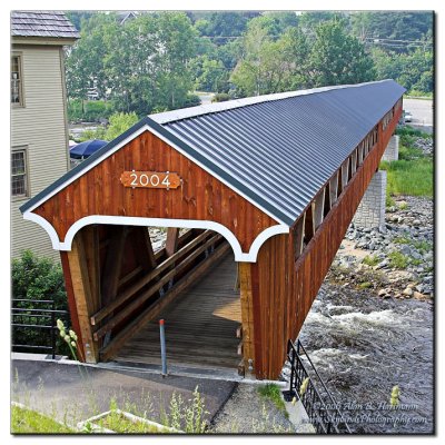
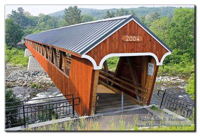
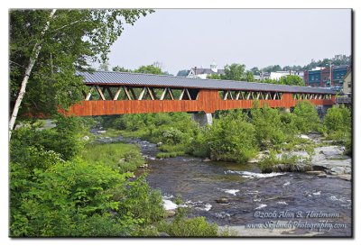
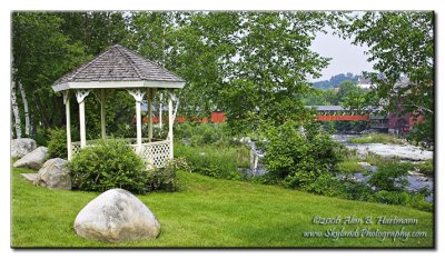
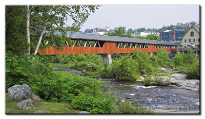
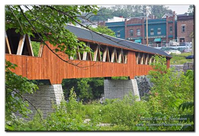
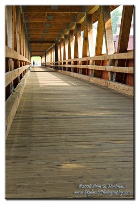
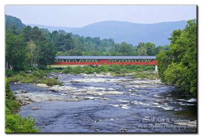
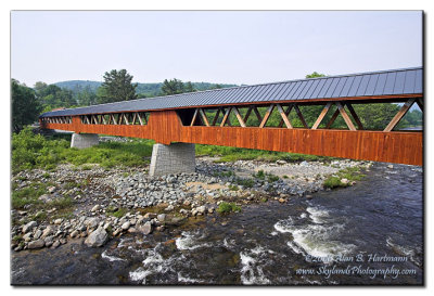
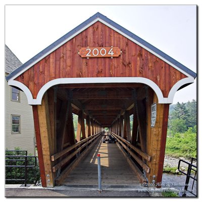
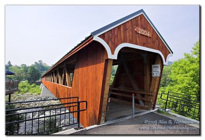
Alan Hartmann |
profile
|
all galleries
>>
Covered Bridges
>>
Covered Bridges of New Hampshire
>> 29-05-l Grafton County, Riverwalk Covered Bridge
tree view
| thumbnails |
slideshow
|
map
29-05-l Grafton County, Riverwalk Covered Bridge
There is no New Hampshire bridge number assigned for this bridge.
In downtown Littleton. Spans the Ammonoosuc River
GPS is parking lot, about 100 feet from northern end of bridge. There is also public parking on the southern end of the bridge, in Riverside Park.
N44 18.376 W71 46.437
Added to
PBase Maps
5/2/08. Satellite imagery does not show this new bridge.
Littleton, NH
IA7X6262
IA7X6264
IA7X6272
IA7X6280
IA7X6286
IA7X6288
IA7X6290
IA7X6296
IA7X6301
IA7X6303
IA7X6305
comment
|
share
Type your message and click Add Comment
It is best to
login
or
register
first but you may post as a guest.
Enter an optional name and contact email address.
Name
Name
Email
help
private comment
click on thumbnails for full image