13-Apr-2019
Coastal Wildflowers.
Growing and in bloom along the dirt track on the way back to the motel. The last image from this particular area.
13-Apr-2019
Troubridge Point scene 4 - heading back.
We drove along the coast on this dirt road.. it was quite a rough old road and the car
was covered in dust by the time we got back to the motel.
13-Apr-2019
The Troubridge Lighthouse
Named after a boat that sunk near here.
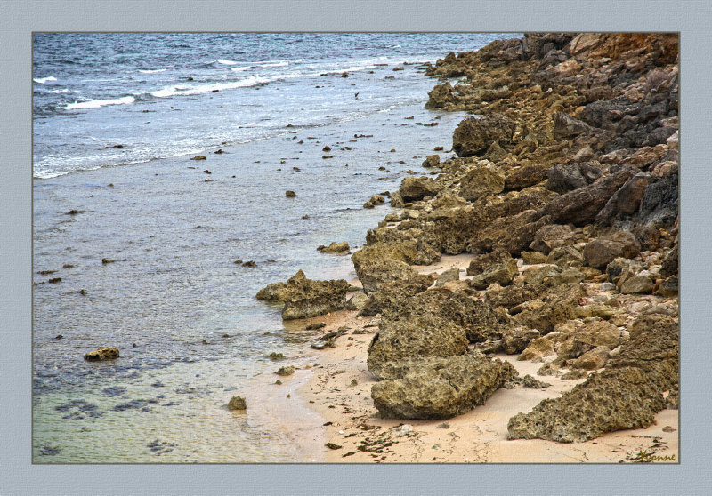
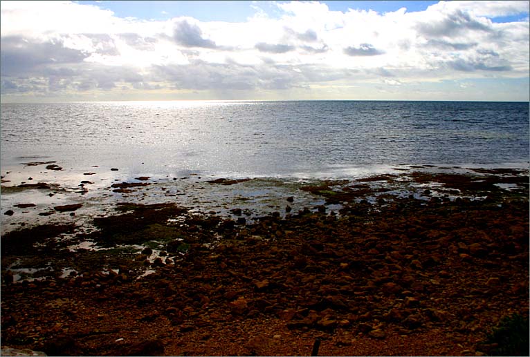
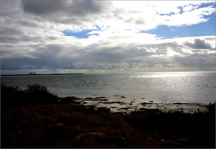
13-Apr-2019
Troubridge Point scene 3
We had a bit of a wander on foot while Trudy took photos of the plaque
and this one shows a little more of the water and sand.
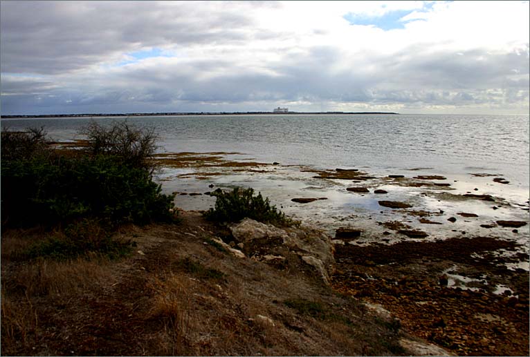
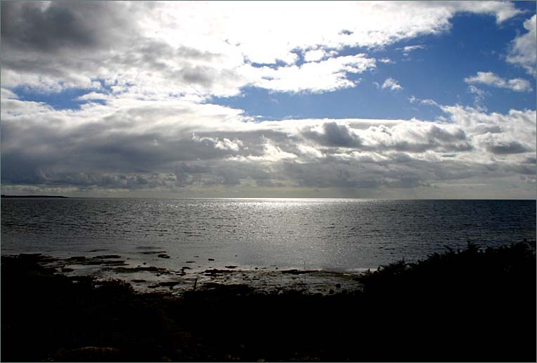
13-Apr-2019
Troubridge Point scene 2
A view of the sea. Not far from here one of our granddaughter's English teacher was taken by a shark.
There we found a plaque commemorating the event and our daughter who was travelling with us took more photos than I did
so she could show a photo to her daughter on our return.
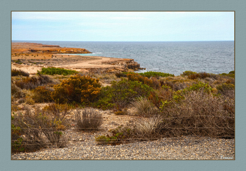
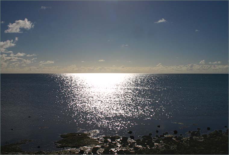
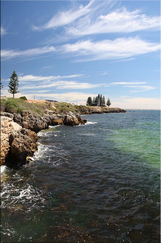
13-Apr-2019
Troubridge Point scene 1
Troubridge Point is about 11 kilometres (6.8 miles) south west of Edithburgh.
It is the most easterly point of the Yorke Peninsula coast that directly adjoins Investigator Strait.
It is the termination for a pair of coastlines - one extending from Cape Spencer
in the west and the other extending from Sultana Point from the north in Gulf St Vincent.
It is the western end of the opening to Gulf St Vincent.[Wikipedia]
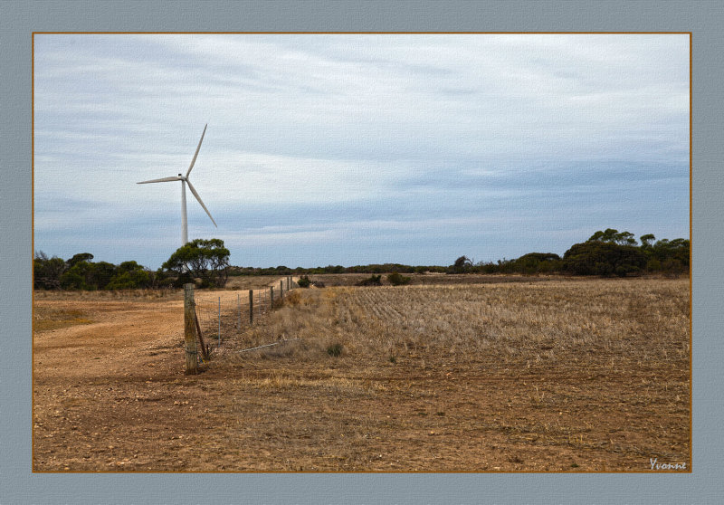
13-Apr-2019
Dirt tracks and a Turbine
A very dusty road through this wind farm area, especially when a very large truck
passed our car. Luckily for us, the truck slowed down and we had time to put
up all our windows!
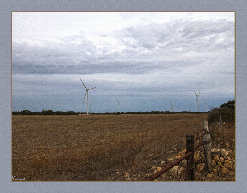
13-Apr-2019
Rusty Fenceline
Some of the turbines had sheep at their feet, but not this paddock for obvious reasons.
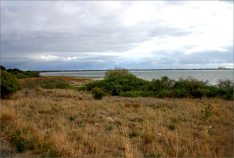
13-Apr-2019
Sultana Point
Sultana Point is a headland in the Australian state of South Australia located near the south east tip of Yorke Peninsula
in the gazetted locality of Sultana Point about 3.3 kilometres (2.1 miles) south-southeast of the town of Edithburgh.
The waters to its immediate east contain the shoal system known as the Troubridge Shoals. It is one of the natural features named after the Sultana,
a ship which was wrecked on the Troubridge Shoals on 28 September 1849. The waters adjoining its shores are located within the boundaries of the
Lower Yorke Peninsula Marine Park.
Photo taken at the edge of a rather large Wind Farm.
08-NOV-2014
Country view
Photo taken on the golf course across the road from where we stayed overnight.
This country is used for grain growing mainly but some farmers also graze
sheep and cattle. Huge silos dot the landscape on the Yorke Peninsula, but
none are in Stansbury where we were staying. A drive North & South on the coast road
there are a couple of huge silos where grain is stored and shipped.
08-NOV-2014
Country Golf course
Over the road from the motel we spent the night last weekend when we visited my old Mum.
I bravely walked onto the course watching alertly for snakes
as the day was still quite warm, and this area is known for having
plenty of snakes. Although this was a Saturday there were no golfers playing
a round.
Best in original format
09-NOV-2014
Sea & sand
As you can see we had the place to ourselves on a Sunday afternoon
09-NOV-2014
Sultana Point
South of Edithburgh, a lovely wide beach especially when the tide is out.
22-APR-2007
Beachside walking trail 1
22-APR-2007
Beachside walking trail 2
22-APR-2007
Beachside walking trail 3
04-NOV-2011
Interesting cloud formation
Dick said that these clouds indicate a windy day is to follow. This
photo was taken from the jetty.
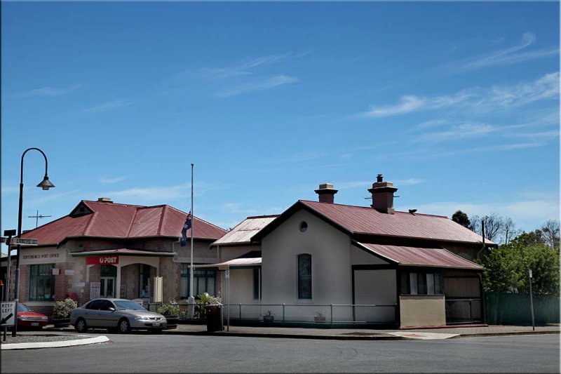
04-NOV-2011
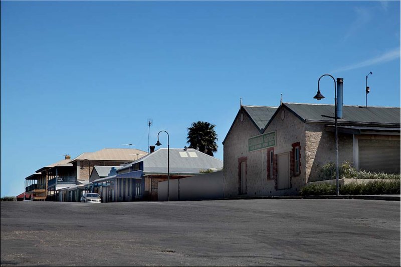
Post Office
Lovely to see the old buildings in use instead of being bulldozed and replaced.
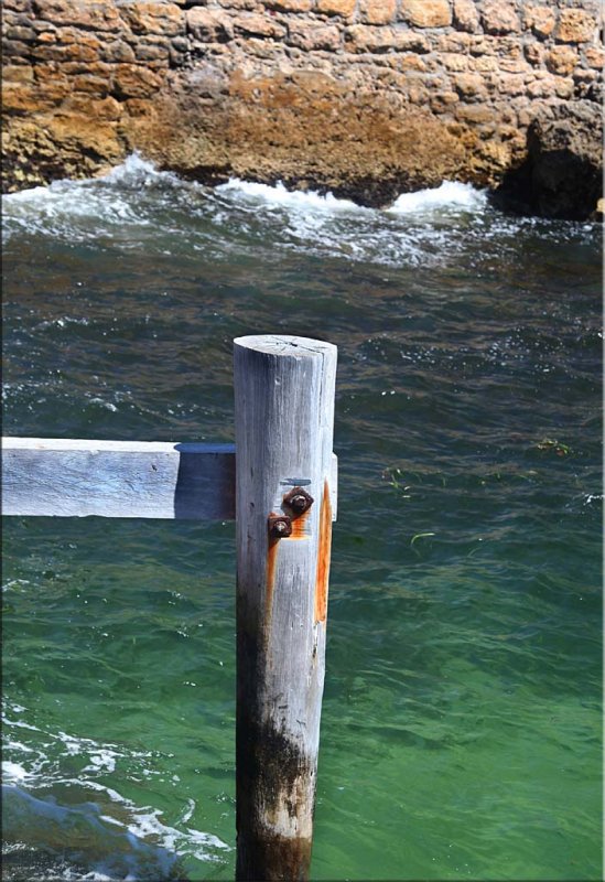
04-NOV-2011
Post in the deep
Have no idea why its there...
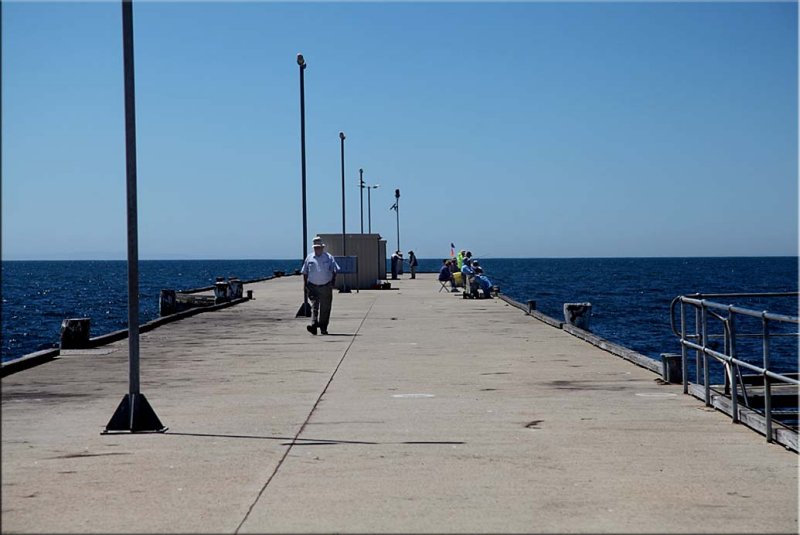
04-NOV-2011
Edithburgh jetty
I didn't venture onto the jetty, didn't feel safe without rails,
the sea bed was very deep