PLEASE GO TO NEW SITE: http://www.beautifulworld.photography
It's a #BEAUTIFULWORLD. Karthik Raja Photography
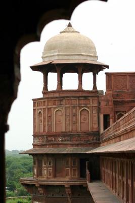
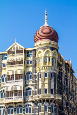
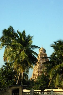
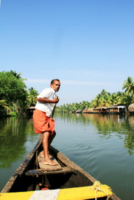
Incredible India
Around the World

 |
 |
 |
 |
 |
 |
| Karthik Raja | profile | guestbook | all galleries | recent | tree view | thumbnails |

[ Galleries ] |