photo sharing and upload picture albums photo forums search pictures popular photos photography help login
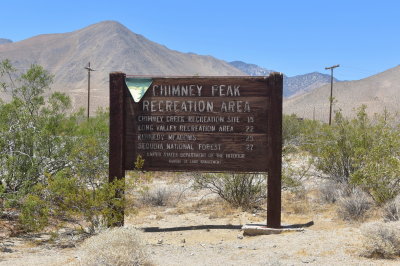
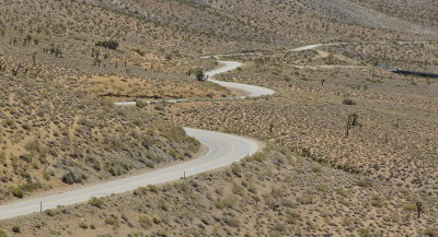
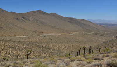
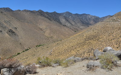
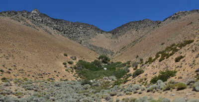
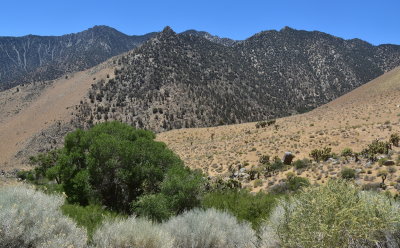
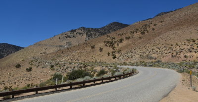
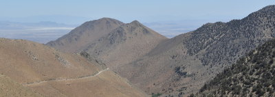
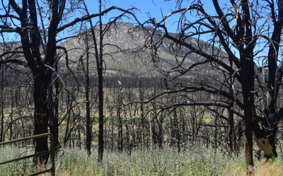
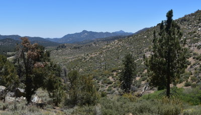
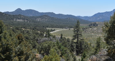
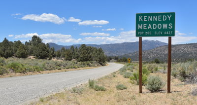
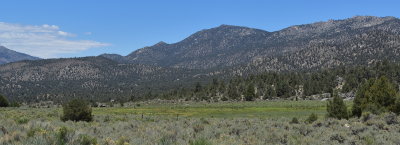
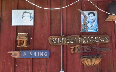
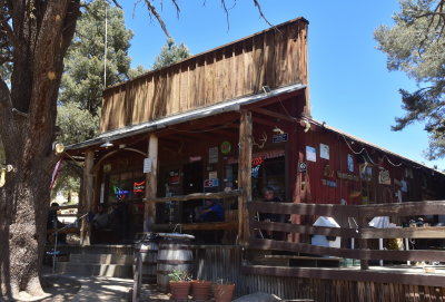
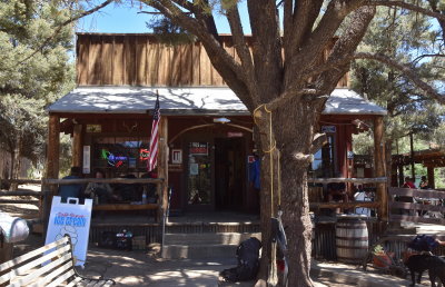
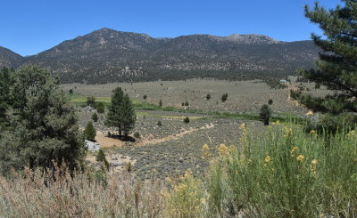
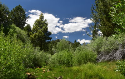
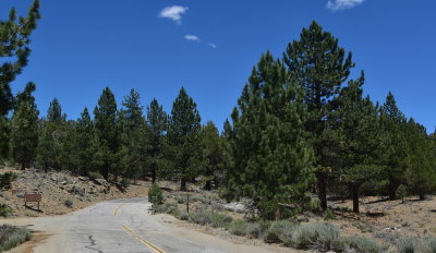
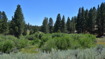
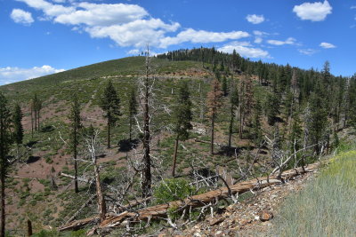
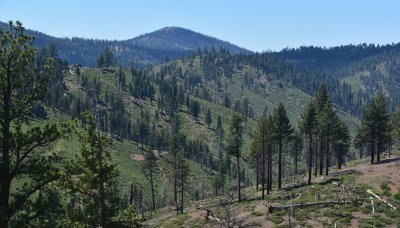
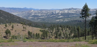
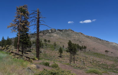
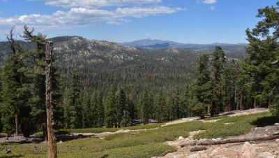
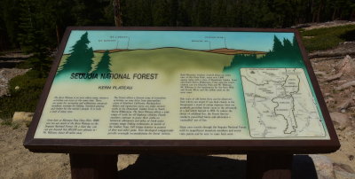
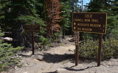
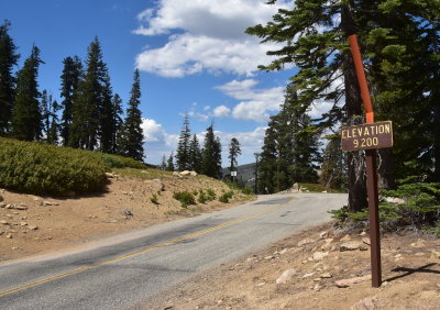
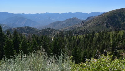
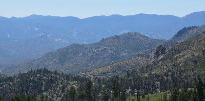
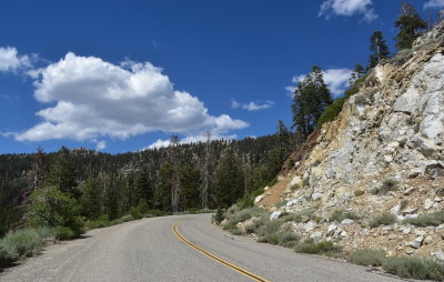
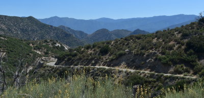
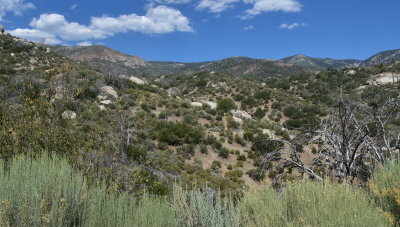
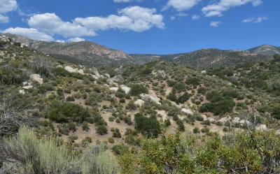
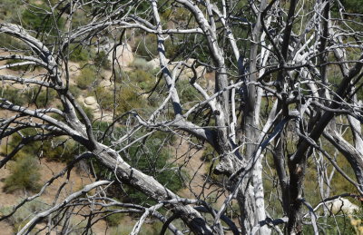
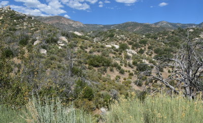
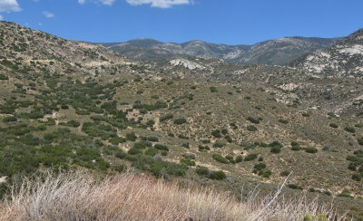
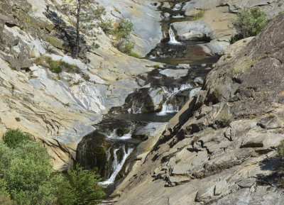
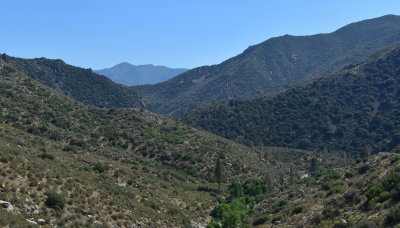
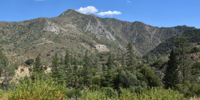
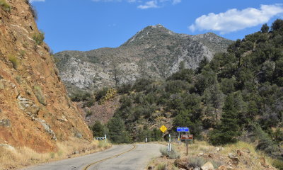
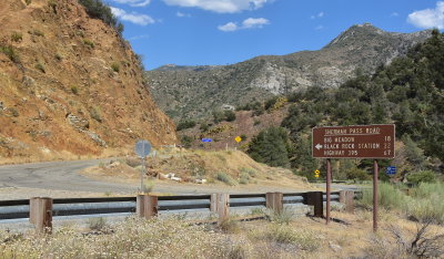
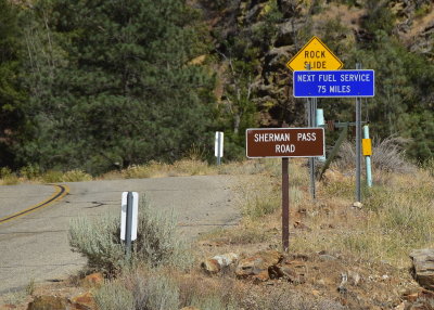
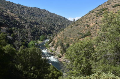
Backroads Galleries | profile | all galleries >> Backroads of Central & Southern California >> Sherman Pass Road tree view | thumbnails | slideshow

Sherman Pass Road


This seldom used road takes one through some of the most rugged terrain of the Sierra which is accessible by car. When traveling from east to west, the Sherman Pass road begins on US Hwy 395 as Nine Mile Canyon Road about 20 miles south of Olancha. It steeply rises into the southern Sierra, turns north and in 20 miles reaches the community of Kennedy Meadows. About another 25 miles west of Kennedy Meadows lies the 9200 foot summit of Sherman Pass. From there, the road rapidly descends the western slope of the Sierra and reaches the upper portion of the Kern River 15 miles down from the summit.
DSC_0384-001.JPG DSC_0396-001.JPG DSC_0405-001.JPG DSC_0410-001.JPG DSC_0420-001.JPG DSC_0432-001.JPG
DSC_0441-001.JPG DSC_0447-001.JPG DSC_0456-001.JPG DSC_0459-001.JPG DSC_0465-001.JPG DSC_0479-001.JPG
DSC_0480-001.JPG DSC_0495-001.JPG DSC_0507-001.JPG DSC_0519-001.JPG DSC_0534-001.JPG DSC_0558-001.JPG
DSC_0564-001.JPG DSC_0567-001.JPG DSC_0570-001.JPG DSC_0585-001.JPG DSC_0594-001.JPG DSC_0606-001.JPG
DSC_0609-001.JPG DSC_0612-001.JPG DSC_0639-001.JPG DSC_0642-001.JPG DSC_0645-001.JPG DSC_0651-001.JPG
DSC_0660-001.JPG DSC_0663-001.JPG DSC_0681-001.JPG DSC_0693-001.JPG DSC_0696-001.JPG DSC_0706-001.JPG
DSC_0715-001.JPG DSC_0718-001.JPG DSC_0721-001.JPG DSC_0730-001.JPG DSC_0733-001.JPG DSC_0739-001.JPG
DSC_0751-001.JPG DSC_0793-001.JPG DSC_0796-001.JPG DSC_0805-001.JPG DSC_0826-001.JPG DSC_0829-001.JPG
DSC_0838-001.JPG DSC_0847-001.JPG DSC_0862-001.JPG DSC_0874-001.JPG DSC_0892-001.JPG DSC_0895-001.JPG
DSC_0907-001.JPG DSC_0910-001.JPG