


|
|
|
|
|
|
| Philip Game | profile | all galleries >> Outback Australia (10 galleries) >> Simpson Desert | tree view | thumbnails | slideshow |
Snuggle up under the stars in Central Australia's Simpson Desert. Between Oodnadatta and Birdsville lies a wilderness of windblown dunes, running parallel for hundreds of kilometres. Traversing this tract of brick-red sand and salt lakes at the heart of Central Australia is an achievement in itself.
The Simpson Desert extends from northeast South Australia north into the Northern Territory and northeast into southwest Queensland's Channel Country. Our party followed the old Ghan railway line, skirting Lake Eyre to enter the Simpson at Dalhousie Springs. Routes across the desert are mainly survey lines set out by geophysicists some decades ago. Big Red, the last major wind-blown dune, lies just west of Birdsville, the last outpost in Queensland. From Birdsville, the way home followed the (in)famous Birdsville Track south to rejoin the old Ghan route at Marree.
Original images were 35mm Fujichrome or Ektachrome transparencies. Hi-res. scans are available for licensing.
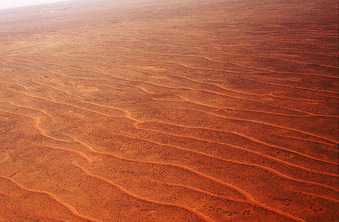 Flying over the parallel sand dunes |
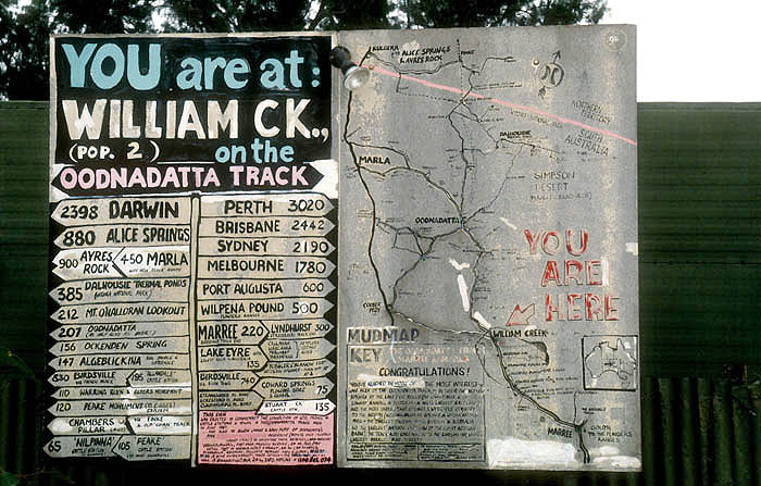 Traveller's advisory at William Creek, near Lake Eyre |
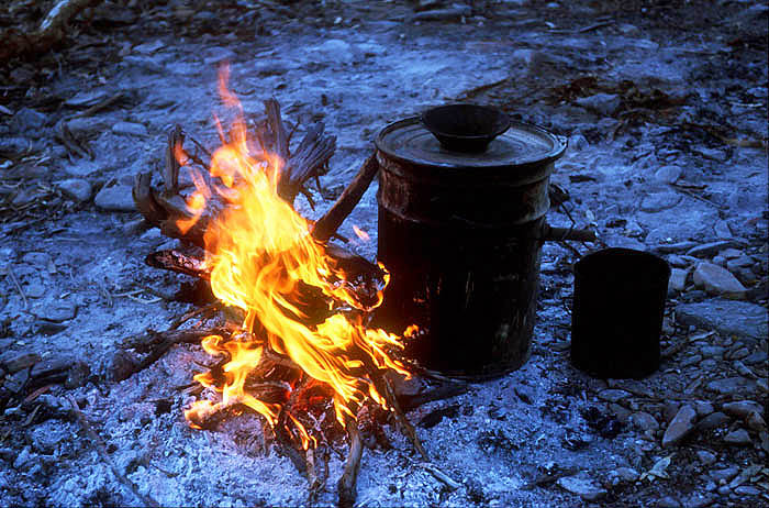 Outback campfire |
 Free lunch for Aboriginal kids at the Pink Roadhouse, Oodnadatta |
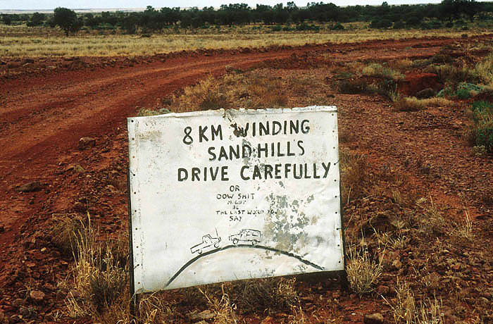 Sandhill warning at the western approaches to the Simpson |
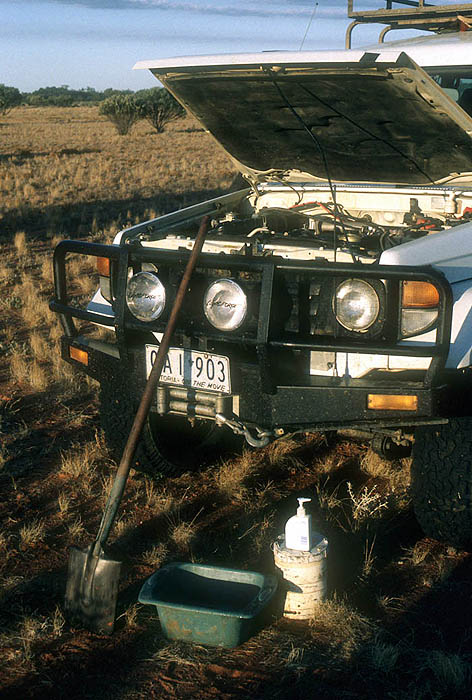 Desert bathroom |
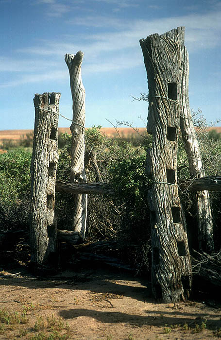 Ruined stockyard at Dalhousie Springs |
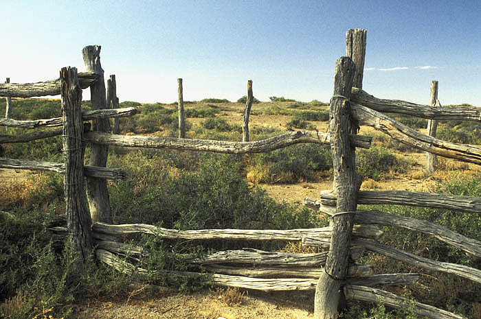 Ruined stockyard (cattleyard) at Dalhousie Springs at the western edge of the Desert |
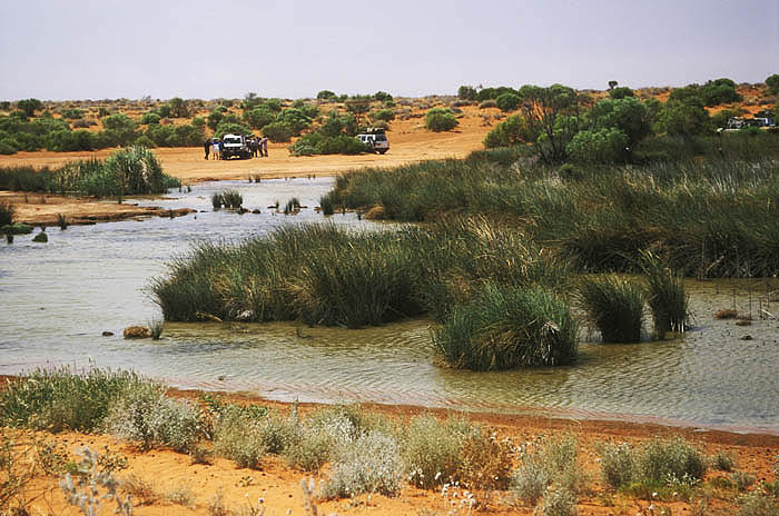 Purnie Bore, the last surface water on the western edge of the Simpson |
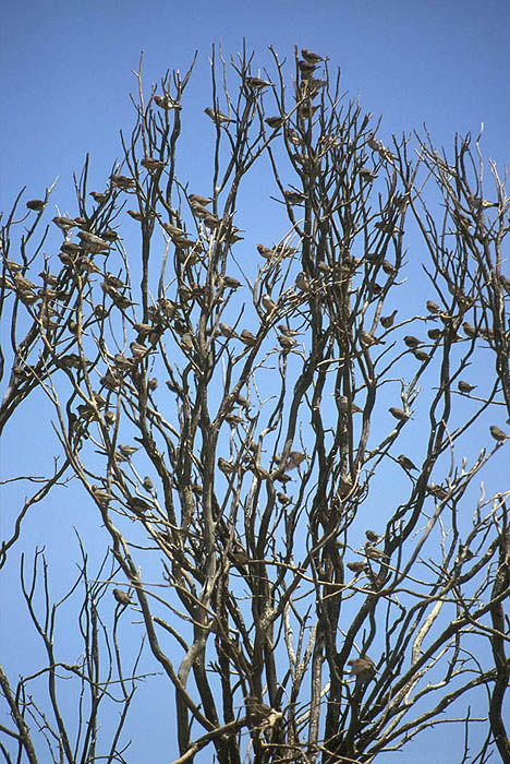 Zebra finches congregate at Purnie Bore |
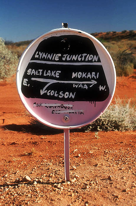 Unofficial road sign at �Lynnie Junction� |
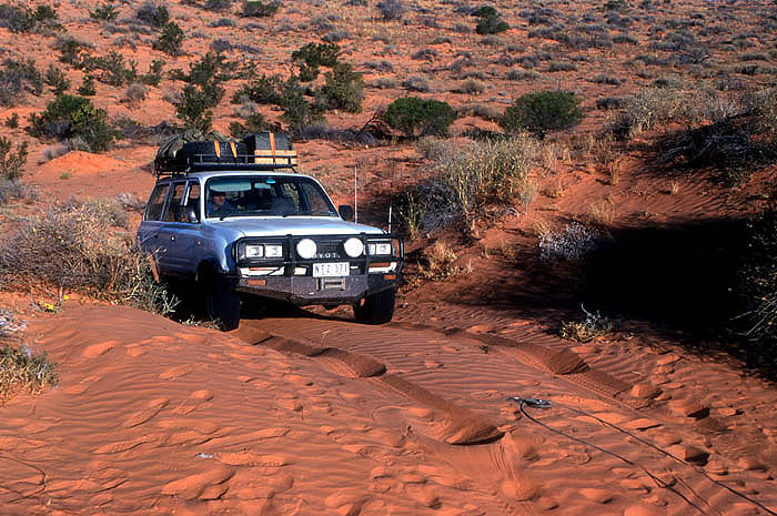
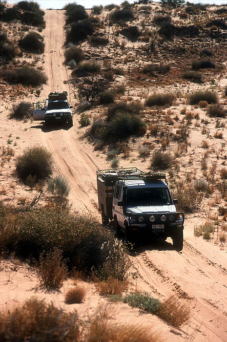
Tackling the parallel dunes |
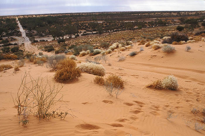
 Sand dunes |
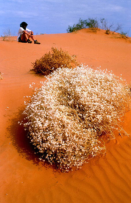
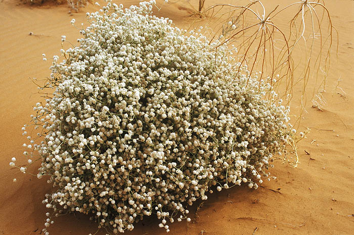 Flowering bush in the desert |
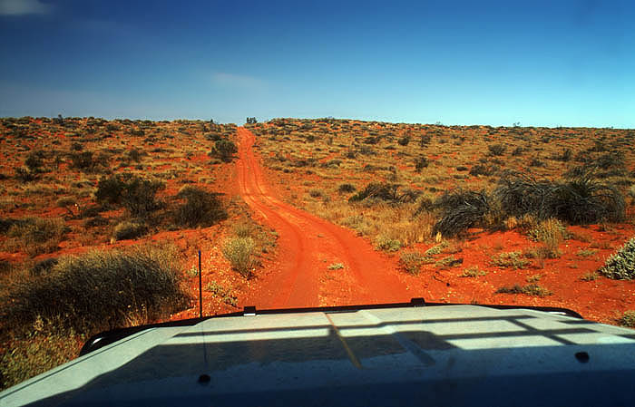 Through the windshield |
 Crossing the dunes in the scorching heat of midday |
 Track across the dunes |
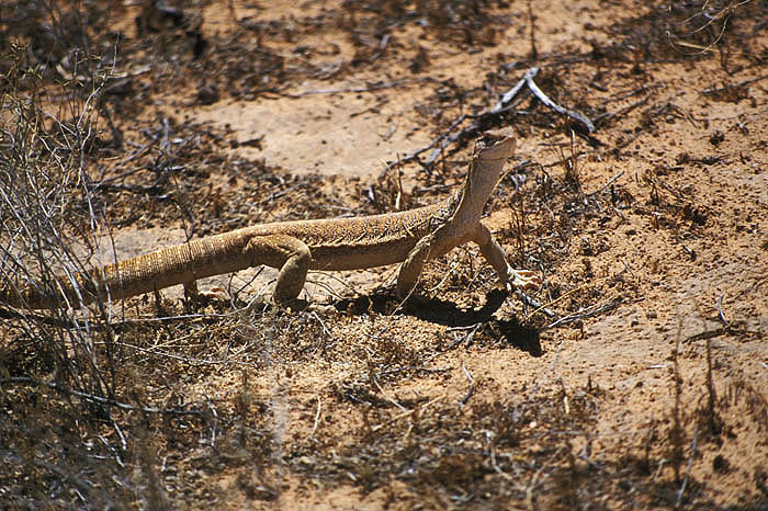 Gould's goanna |
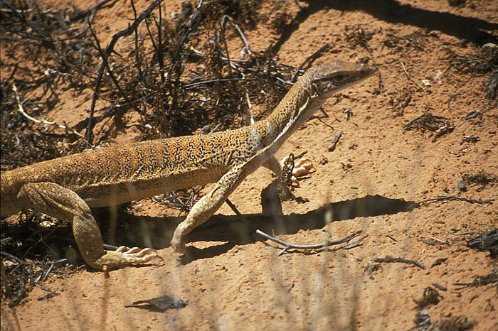 Gould's goanna |
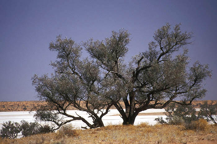 Saltpan at Poeppel Corner |
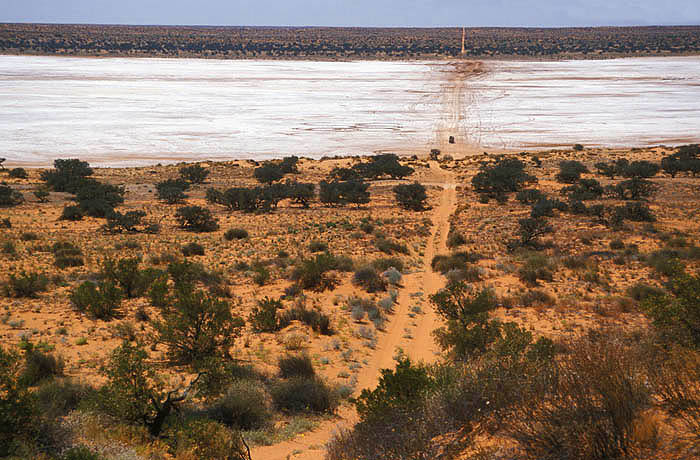 Poeppel Corner |
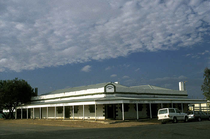 The Birdsville Hotel, founded 1884 |
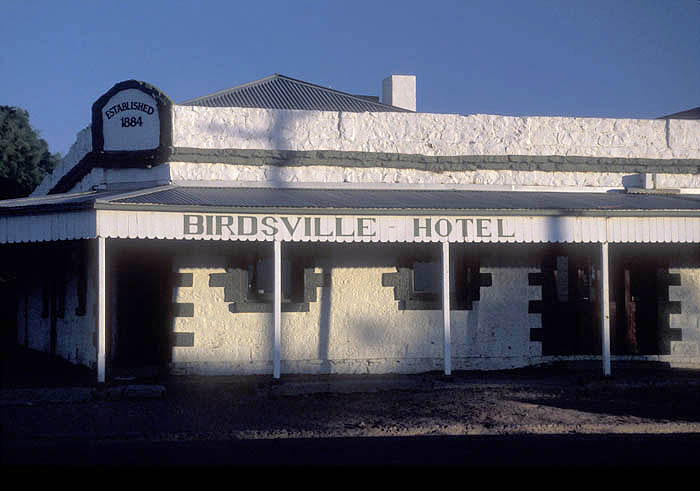 Birdsville Pub, founded 1884 |
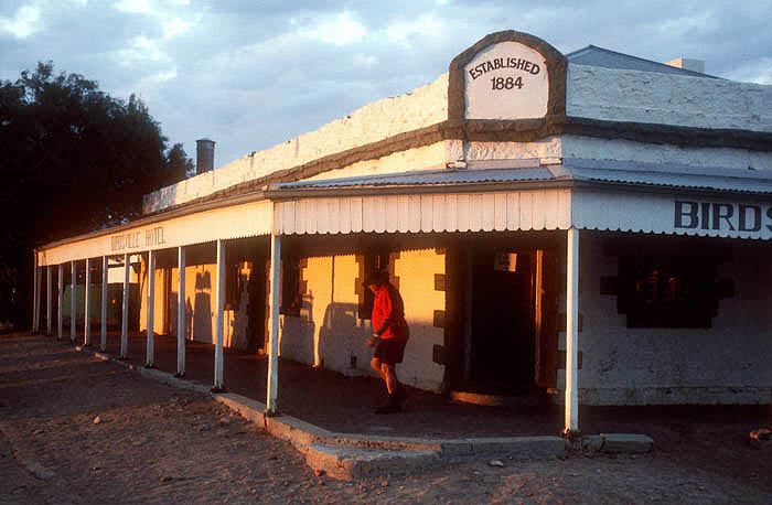 Birdsville Pub, founded 1884 |
 Folk museum proprietor, Birdsville, Qld |
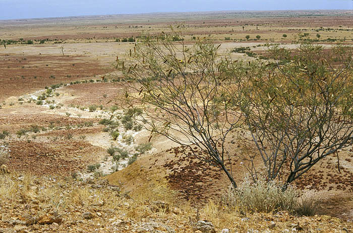 Channel Country, outside Birdsville |
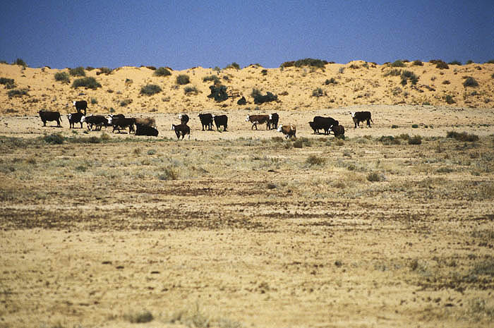 Cattle grazing beside the Birdsville Track |
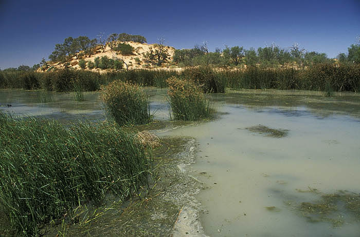 Mungerannie Bore on the Birdsville Track |
| comment | share |
| Mary | 23-Oct-2010 04:38 | |
| Drew | 06-Aug-2010 08:42 | |
| Photodelles | 09-Sep-2007 10:25 | |