


|
|
|
|
|
|
| takeda | profile | all galleries >> life in washington >> visiting the volcano | tree view | thumbnails | slideshow |
| previous page | pages 1 2 3 4 5 6 7 8 ALL | next page |
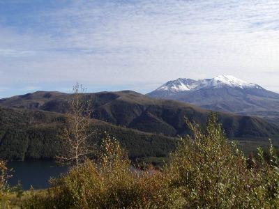
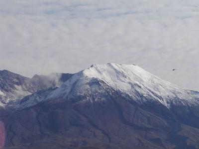
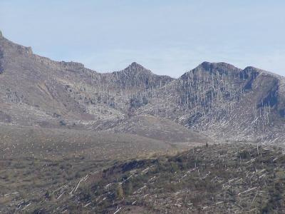 another one |
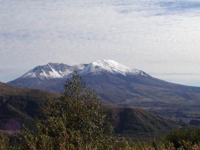
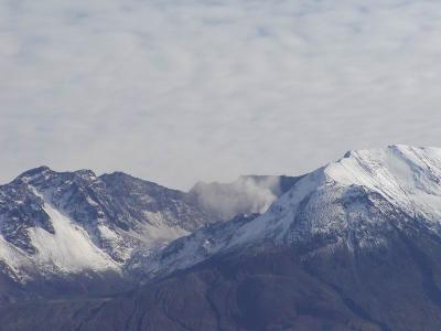
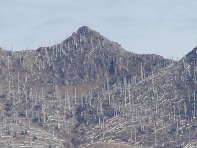 zoomed in (i love my zoom) |
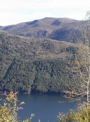
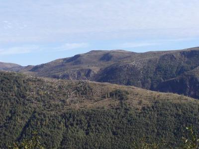 i think this is the edge where weyerhouser's property ends and the nat'l park begins. |
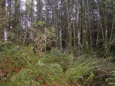
 man-helped vs natural growth, i guess we do do good sometimes |
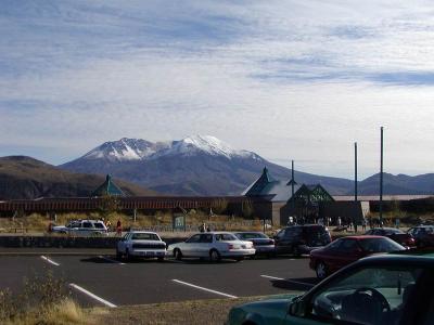
 more postcard shots |
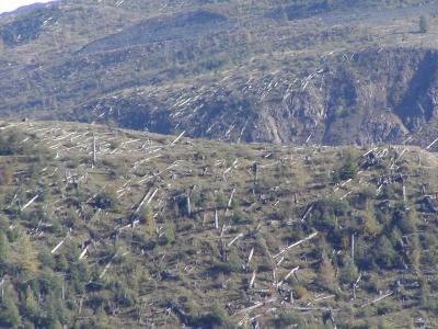
 more edge of man vs nature |
 can't take enough |
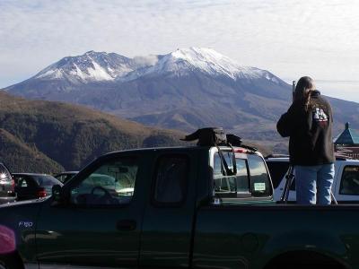
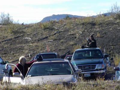 lots of amateur photographers hoping to get the best shot |
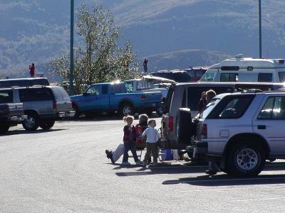 and people just chillin in the parking lot |
 another angle |
 ingenious! |
 observatory and volcano |
 helicopter and volcano, to compare the size of it |
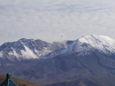 i think that was a USGA one taking readings or photos |
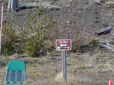 you can take your pets for a bathroom break too |
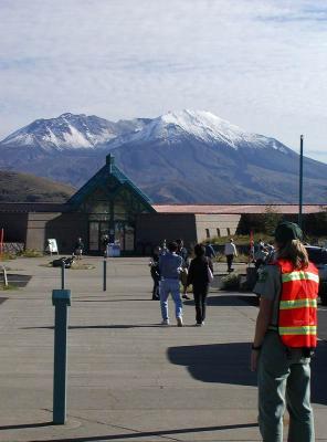 they brought in a whole bunch of extra rangers to handle the large crowds |
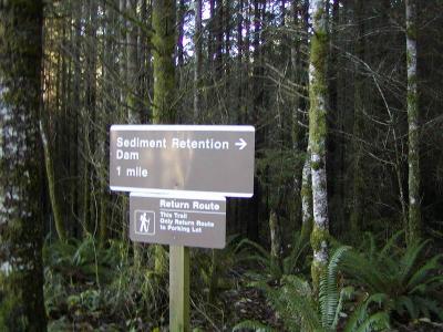
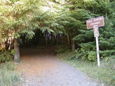 path to the sediment dam that the army corp of engineers built |
 after the 1980 eruption to hopefully stop the flow of ash from causing the same damage again |
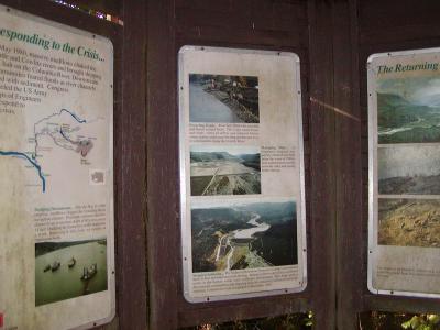 info |
 short path |
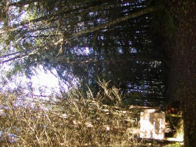
 i'm walking in the wrong direction. oh well |
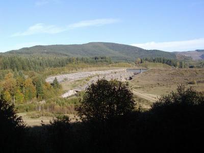 dam! |
 it looks kinda small, not sure it would actually work |
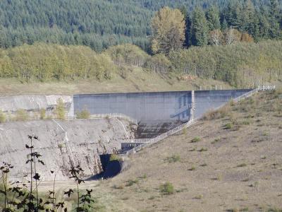 but i'm not an engineer, so i don't know anything |
| previous page | pages 1 2 3 4 5 6 7 8 ALL | next page |
| comment | share |