


|
|
|
|
|
|
| Mike Staudenmaier, Jr. | profile | all galleries >> Galleries >> Bryce Canyon/Escalante | tree view | thumbnails | slideshow |
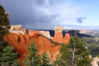
 Approaching Storm over Escalante |
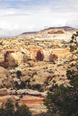 Tortured Terrain |
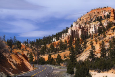
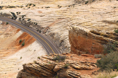 Highway 12 |
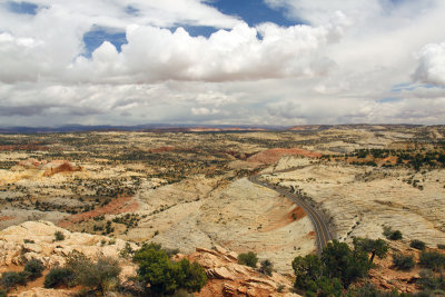 Disappearing into the Distance |
 Late Day Sun in Bryce Canyon |
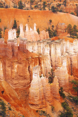
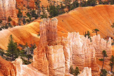
 Pillars of Color |
 Fading Light |
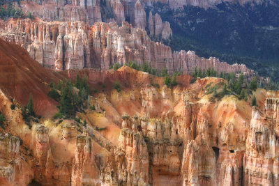
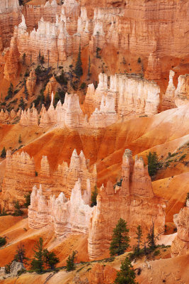
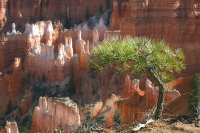
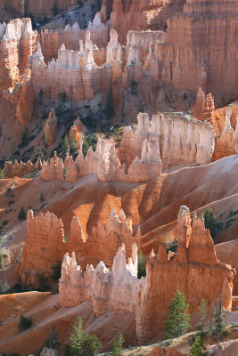
 Hoodoos |
 A Broader Perspective |
 Along Queen's Garden Trail |
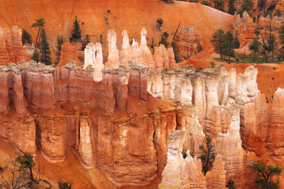
 Picture Postcard |
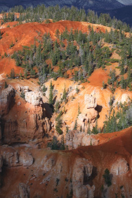
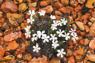 Local Flora |
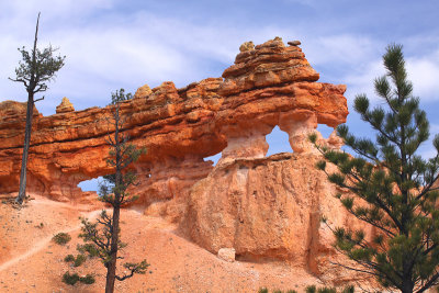
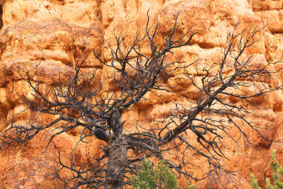 Tree in Red Canyon |
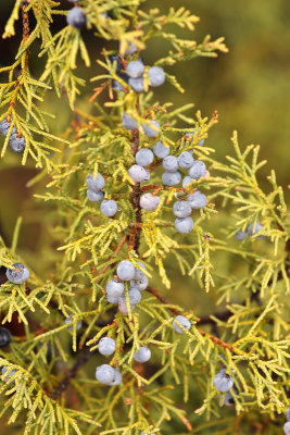 Juniper Berries |
 Returning to Bryce Canyon |
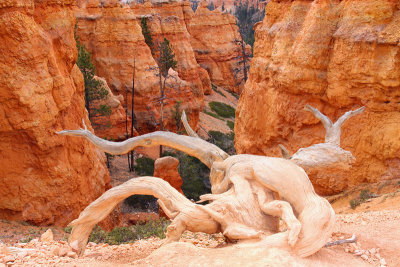
 The Dragon |
 On the Edge |
 In the Morning Light |
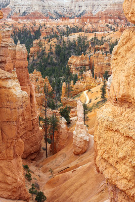 Descending Down |
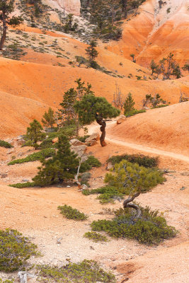 Along the Trail |
 Around the Corner |
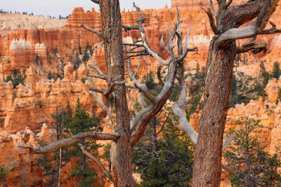
 Gnarled Juniper |
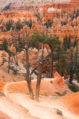
 Looking Back |
| comment | share |