


|
|
|
|
|
|
| T. Knight | profile | guestbook | all galleries | recent | tree view | thumbnails |
Boyce Thompson Arboretum Galleries by Year |
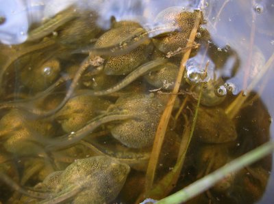
Boyce Thompson Arboretum. A Tadpole Story in Photos |

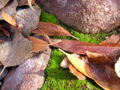
Fall Color at Boyce Thompson Arboretum |
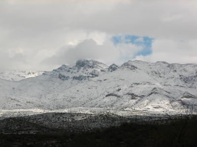
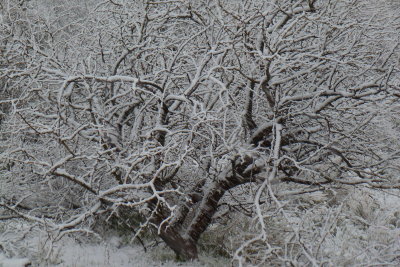
Snow Scenes Around Superior March 12, 2006 |
Best of Photos - by Year |
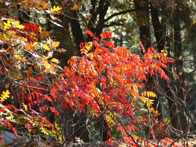
Fall Color in Arizona |
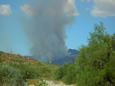
Peachville Fire July 2005 |
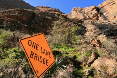
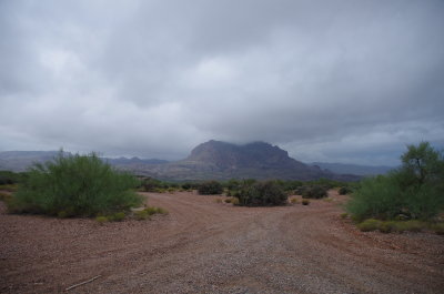
Arizona Places |
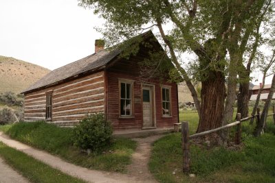
Interesting Places in Other States |

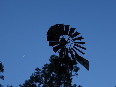
My Home |
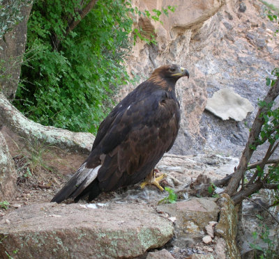
Golden Eagle at Boyce Thompson Arboretum September 2006 |
Canon SX10 IS |
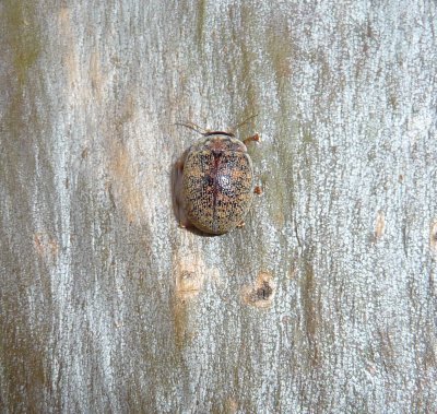
Eucalyptus Tortoise Beetle |
Sony HX80 |

Panasonic DMC-ZS8 |
Pentax K-5IIs |

Fujifilm XF1 |
Sony DSC-WX350 |