


|
|
|
|
|
|
| T. Knight | profile | all galleries >> Best of Photos - by Year >> Best of 2013 | tree view | thumbnails | slideshow |
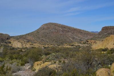
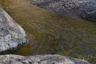 Wood Canyon Creek - Tonto National Forest |
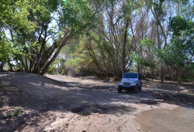
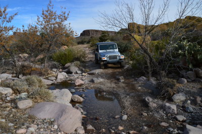 Jeep about to cross Wood Canyon Creek - Tonto National Forest |
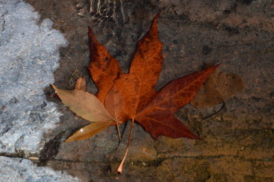 Sycamore Leaf in Wood Canyon Creek - Tonto National Forest |
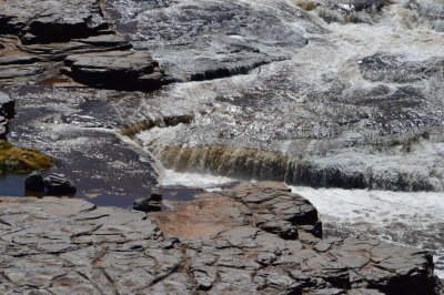
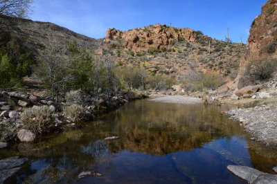 Wood Canyon Creek - Tonto National Forest |
 Wood Canyon Road - Tonto National Forest |
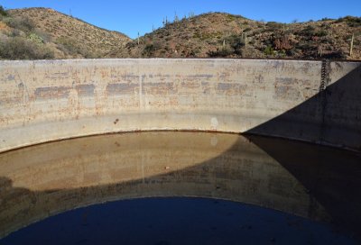 Tank at Arnett Well - Tonto National Forest |
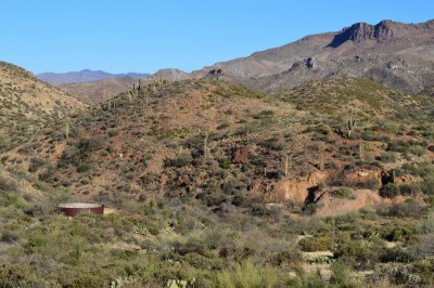 Arnett Well - Tonto National Forest |
 USFS 81 - Tonto National Forest |
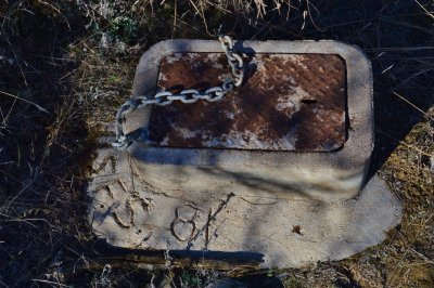
 Rusty tank at Arnett Well - Tonto National Forest |
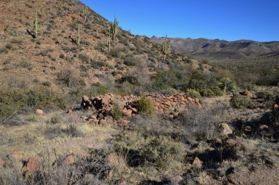 Stone structure on White Water Spring Road - Tonto National Forest |
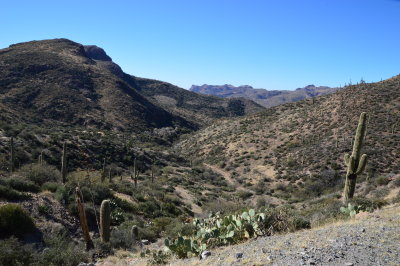 White Water Spring road in White Canyon |
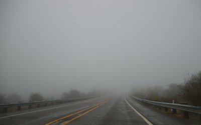 Fog beyond Queen Creek tunnel |
 Queen Creek |
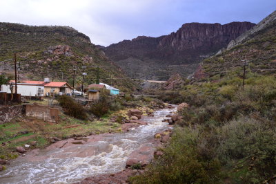 Queen Creek - Superior AZ |
 San Pedro River |
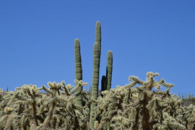 Saguaro and Cholla, Camano Rio Road |
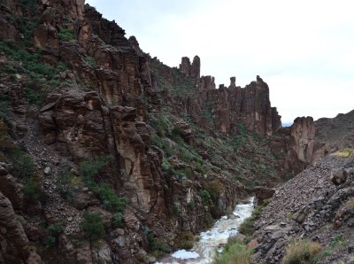
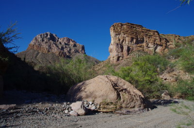
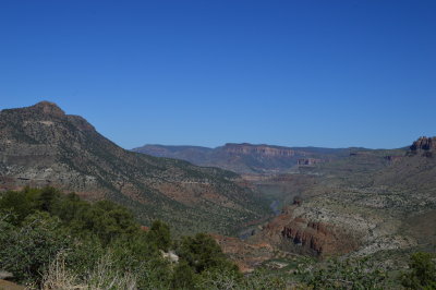 Salt River Canyon |
 Salt River Canyon |
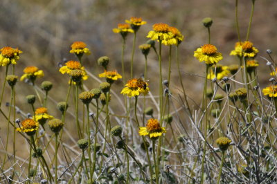 Viguiera species - Goldeneye in Salt River Canyon |
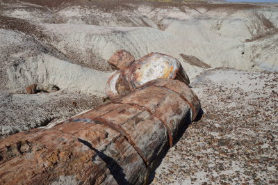
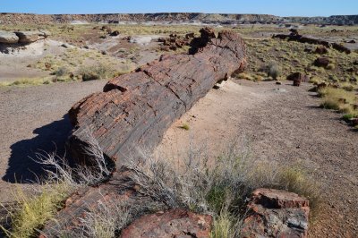 DSC_2953.JPG |
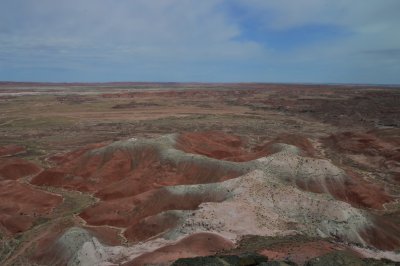
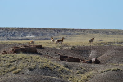 Antelope seen from the Crystal Forest Trail, Petrified Forest National Park |
 DSC_3024.JPG |
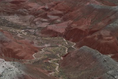 View from near Painted Desert Inn |
 View from near Painted Desert Inn |
 Biopark Botanical Garden, Albuquerque, New Mexico |
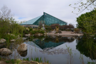
 Biopark Aquarium, Albuquerque, New Mexico |
 Sandstone Bluffs in El Malapais National Monument, New Mexico |
 La Ventana Arch in El Malapais National Monument, New Mexico |
 Lava Falls Trail in El Malapais National Monument, New Mexico |
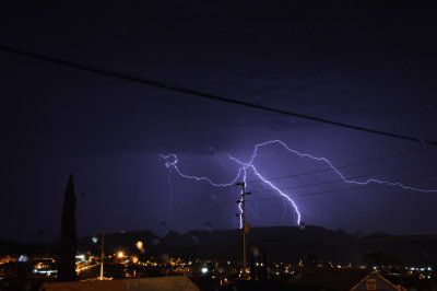 Lightning. The White Fire Wildfire is in the distance |
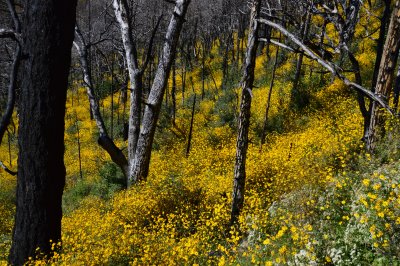 Horeshoe Two Burn area, Chiricahua Mountains |
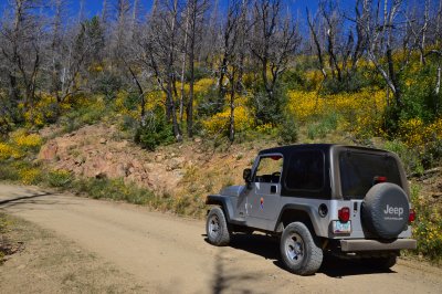 The Jeep on FR 42 in the Horseshoe Two Burn area, Chiricahua Mountains |
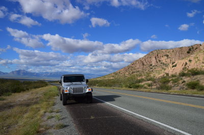 The Jeep in New Mexico on Highway 80 |
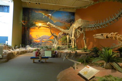 New Mexico Museum of Natural History and Science. Saurophaganax and Brachiosaurus |
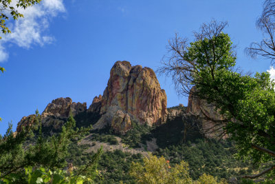
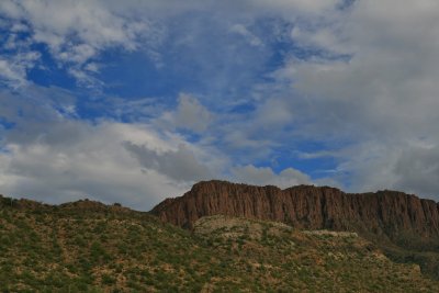 Apache Leap |
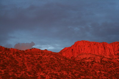 Zoom shot of sunset alpenglow on Apache Leap |
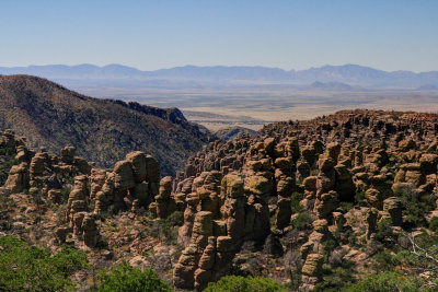 HDR (High Dynamic Range) photo taken at Massai Point in Chiricahua National Monument |
 HDR (High Dynamic Range) photo taken near Portal, AZ |
 On the road to White Canyon Wilderness |
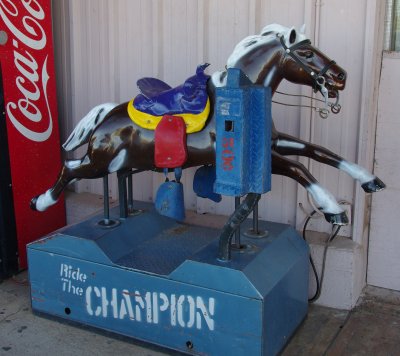 At the Save Money Market |
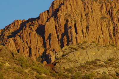 Close up of Apache Leap |
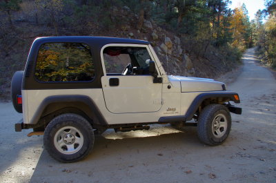 Autumn Jeep |
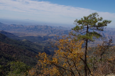 View from the Pinal mountains |
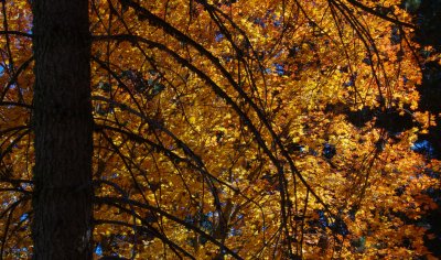 Bigtooth Maple. Pinal Mountains |
| comment | share |