


|
|
|
|
|
|
| Ron Horloff | profile | all galleries >> Inside The Grand Canyon >> Inside The Grand Canyon Gallery III | tree view | thumbnails | slideshow |
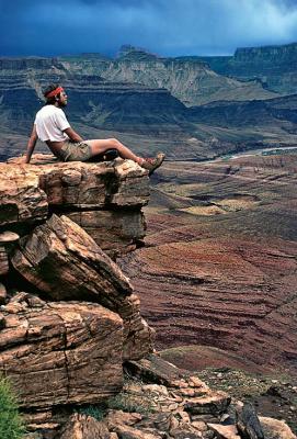 Enjoying the view |
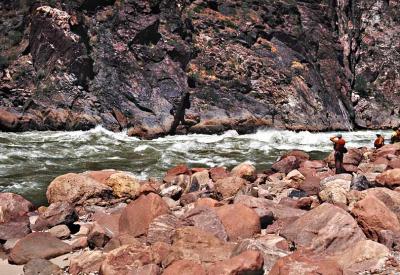
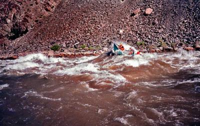
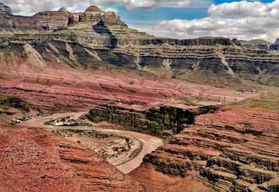 Unkar Rapids |
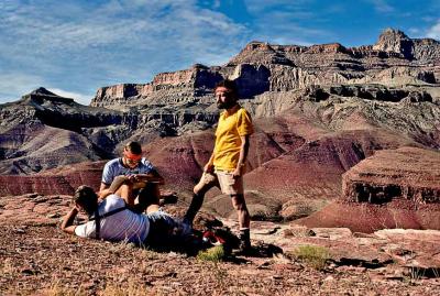 Checking the map |
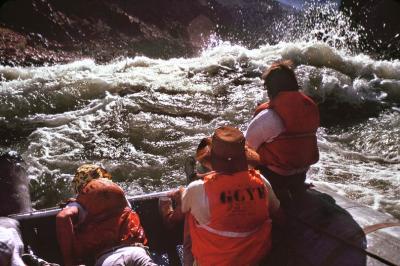 Approaching a rapid |
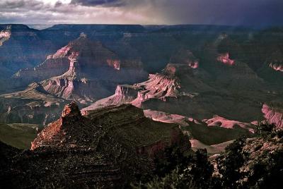 Stormy weather in the Canyon |
 Enjoying the vista |
 Looking for a way through the rapids |
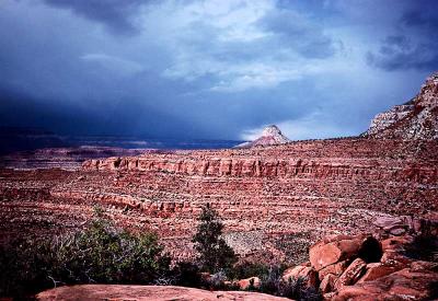
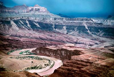 Storm over Unkar |
 Not much of a trail |
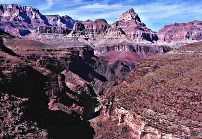
 A thousand foot drop |
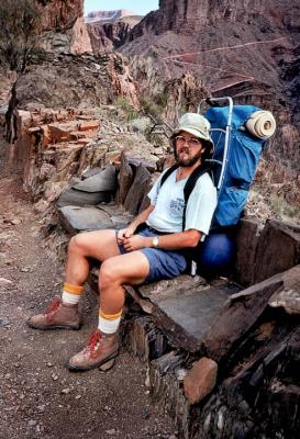
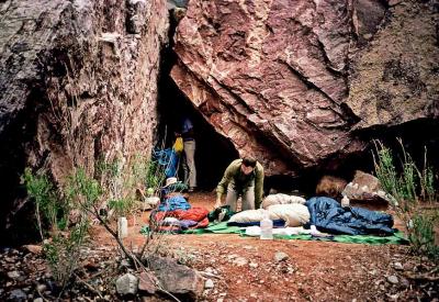
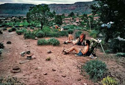
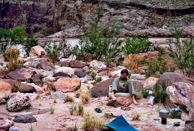 Resting in the evening along the Colorado River |
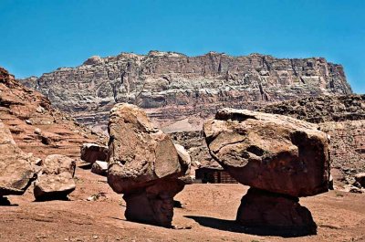 Balanced boulders |
 Wooden dory |
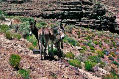 Two wild burros |
 Foot bridge across the Colorado River, and trails |
 A handy rock bench on Clear Creek Trail |
 On the Tonto Plateau |
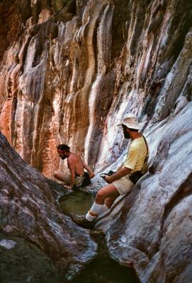
 A difficult pass along Clear Creek |
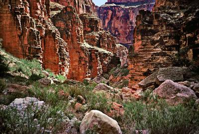
 Hiking in the Inner Gorge |
 A night at upper Clear Creek |
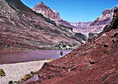 Between Tanner and the Little Colorado River |
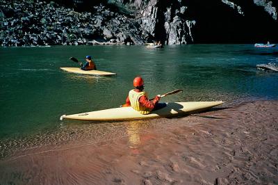 Kayaks at Clear Creek beach |
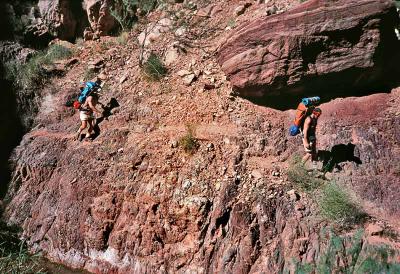
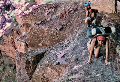
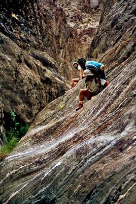
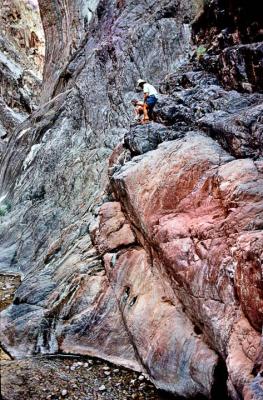
 Climbing down |
 Vista along a hike |
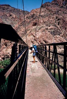 Footbridge crossing the Colorado River |
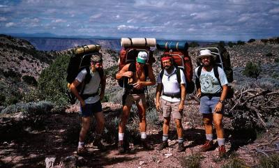 Start of the Kanab to Thunder River 9 day trip |
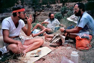
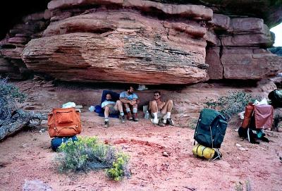 Taking a break, first day on the Kanab trip |
 In Jumpup Canyon, Kanab trip |
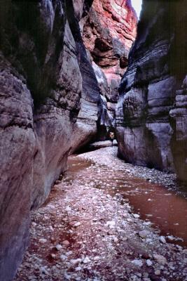 In Jumpup Canyon narrows, Kanab trip |
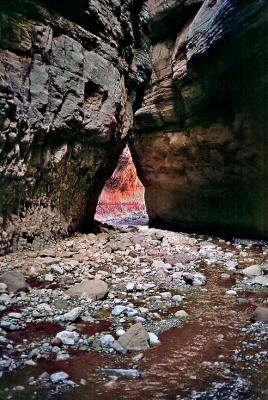 In Jumpup Canyon narrows, Kanab trip |
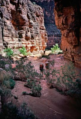 Morning hike, Kanab trip |
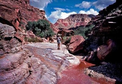
 Lunch at Kanab Creek |
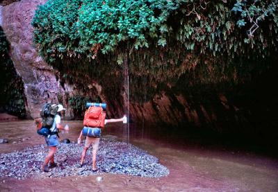
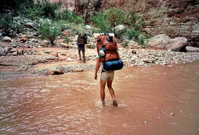 Crossing Kanab Creek |
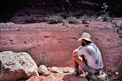 Waiting to cross the muddy Kanab Creek |
 Getting fresh water, Kanab Creek Canyon |
 Filling bottles with fresh water, near Kanab Creek |
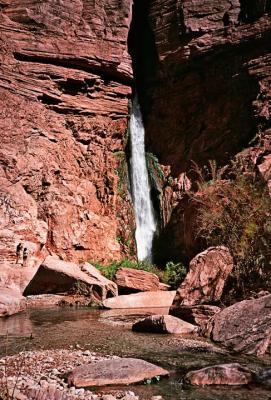 Deer Creek Falls, two photographers on the left, Kanab trip |
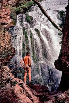 Deer Spring Waterfall, Kanab trip |
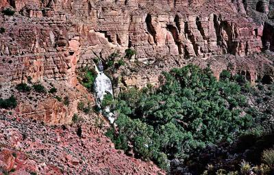 Oasis, Kanab trip |
 Last evening on the Esplanade, Kanab trip |
 Storm in the Canyon |
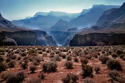
 Morning view |
 How to get down? |
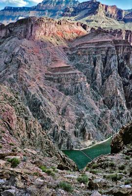
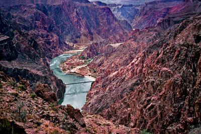
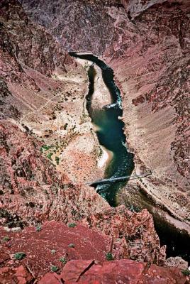 Looking down at the Colorado |
| comment | share |
| Wendy & Larry Burke | 11-May-2006 16:04 | |
| Monte Dodge | 09-May-2006 20:32 | |
| Julie and Marinus VandenEnde. | 26-Feb-2006 21:26 | |
| Besati | 26-Jul-2005 15:39 | |
| Guest | 13-Jul-2005 17:58 | |
| Franz Bauer | 10-Jul-2005 17:36 | |
| Doron Avi-Ad | 01-Jul-2005 18:03 | |
| Chris Sofopoulos | 21-Jun-2005 10:29 | |