


|
|
|
|
|
|
| Richard Glenn | profile | all galleries >> Galleries >> Anza-Borrego State Park | tree view | thumbnails | slideshow |
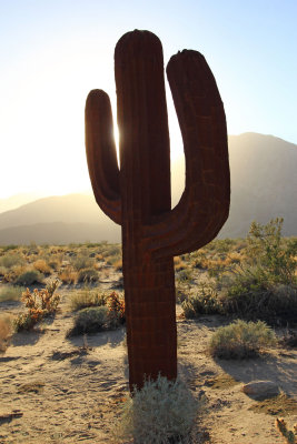
 IMG_0263_tonemapped.jpg |
 IMG_0256 copy.jpg |
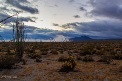
 IMG_0221.jpg |
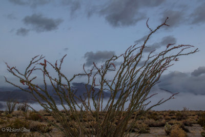
 IMG_0213.jpg |
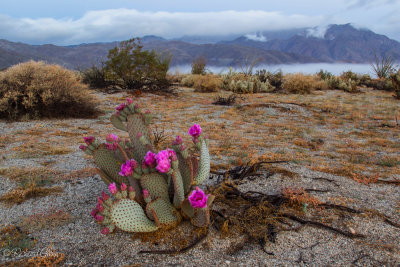
 IMG_0146_7_8_fused.jpg |
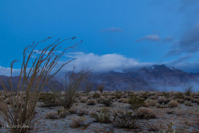
 IMG_0144.jpg |
 IMG_0112_3_4_fused.jpg |
 IMG_0089.jpg |
 IMG_9407_ copy.jpg |
 IMG_9378_79_80_tonemapped.jpg |
 IMG_9332_pano.jpg |
 IMG_9332.jpg |
 IMG_9327.jpg |
 IMG_9319.jpg |
 IMG_9313_tonemapped.jpg |
 IMG_9308_tonemapped_copy.jpg |
 IMG_9294.jpg |
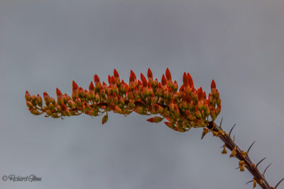
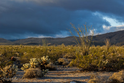
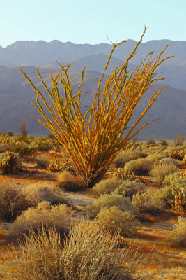 Golden Hour Ocotillo |
 IMG_9284.jpg |
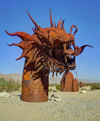
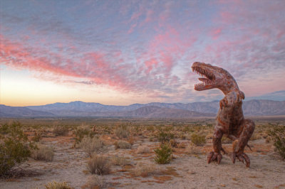
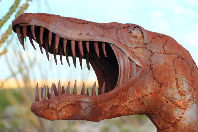
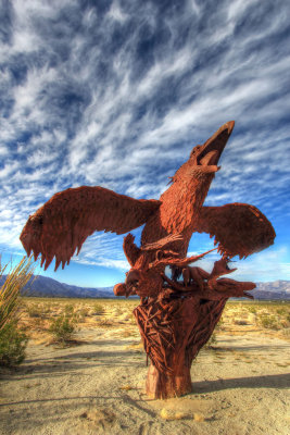 A Ricardo Baccera Creation of what use to be. |
 IMG_9245_tonemapped.jpg |
 IMG_9420.jpg |
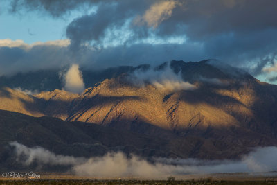
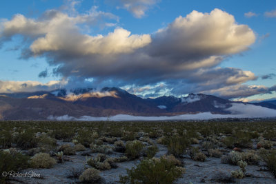
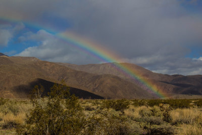 Rainbow Ridge |
 IMG_9381.jpg |
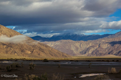
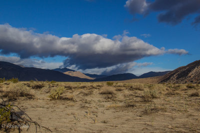
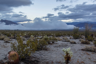
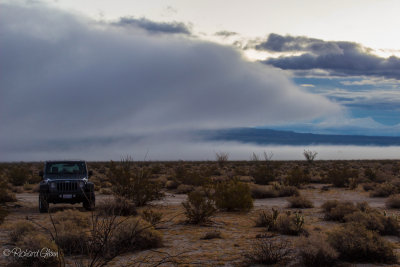
 Clark Dry Lake |
 IMG_9373.jpg |
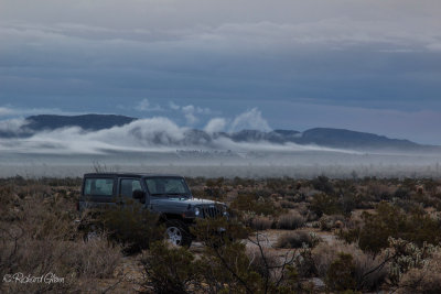
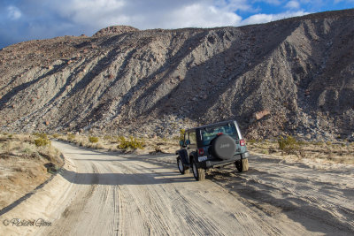 Coyote Canyon Road |
 IMG_9371.jpg |
 IMG_9370.jpg |
 IMG_9369.jpg |
 IMG_9366.jpg |
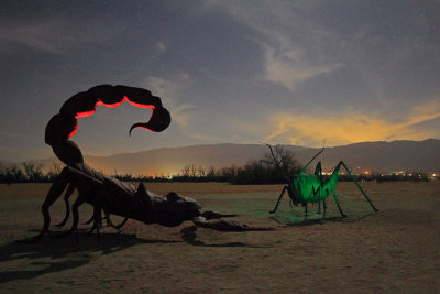
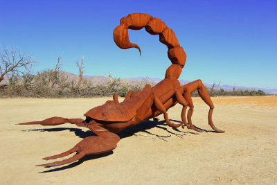
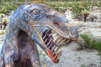
 Prehistoric Times |
 IMG_9358.jpg |
 IMG_9357.jpg |
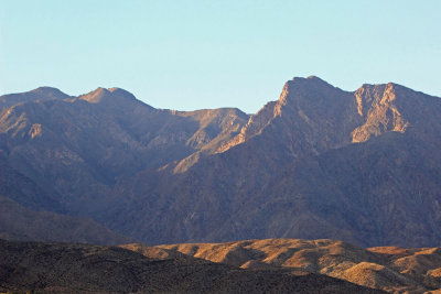
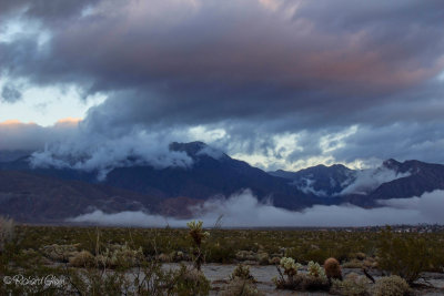
 Indian Head Mountain |
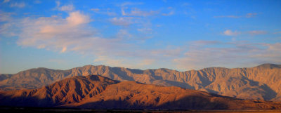
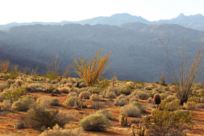
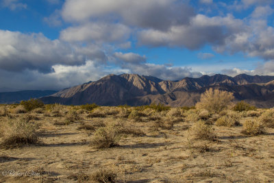
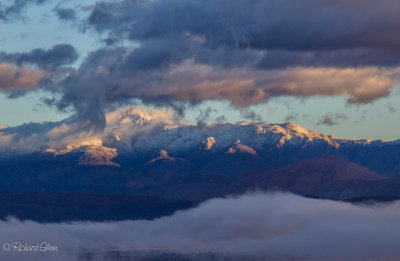
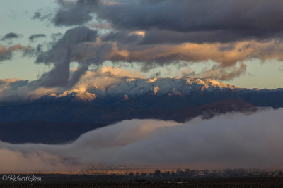 Sunrise on the Santa Rosa Mountains |
 IMG_9351.jpg |
 IMG_9343.jpg |
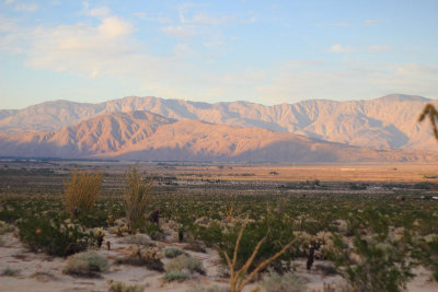
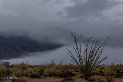
 Barrel and Chola Cactus |
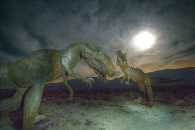
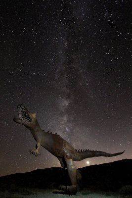
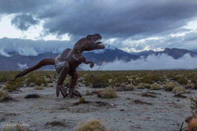 10,000,000 BC |
 IMG_9336.jpg |
 IMG_9331.jpg |
 IMG_9329.jpg |
 IMG_9328.jpg |
 IMG_9327.jpg |
 IMG_9325.jpg |
 IMG_9318.jpg |
| comment | share |
| fotabug | 13-Nov-2017 15:04 | |
| Jola Dziubinska | 13-Sep-2016 22:53 | |
| Walter Otto Koenig | 14-Jul-2015 01:58 | |