


|
|
|
|
|
|
| Ray Mathis | profile | all galleries >> Galleries >> Canyonlands National Park, Utah | tree view | thumbnails | slideshow |
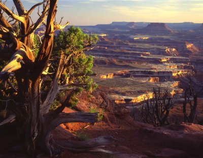
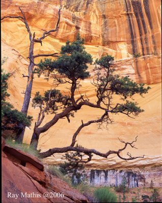
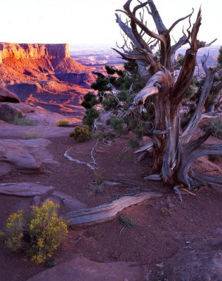
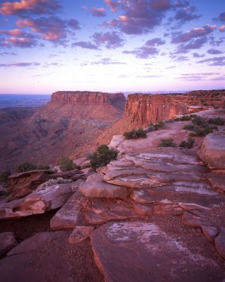
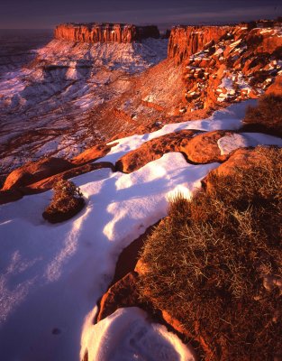
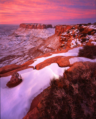
 1 Canyonlands National Park, Utah |
 2 Gooseneck Overlook |
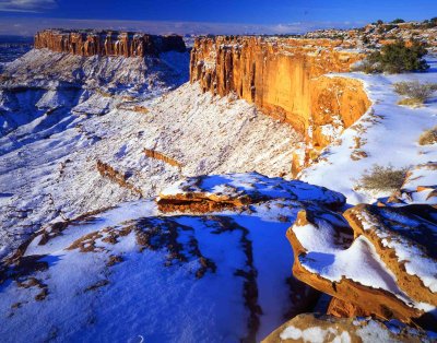
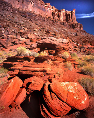
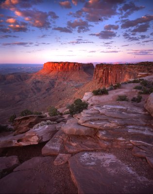
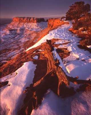
 3 Canyonlands National Park, Utah |
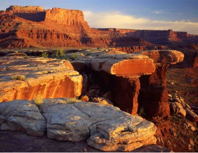
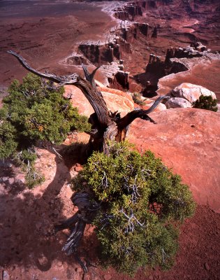
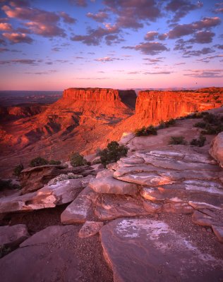
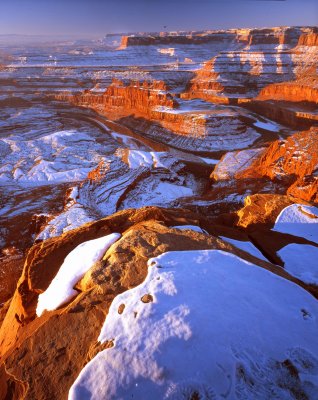
 4 Canyonlands National Park, Utah |
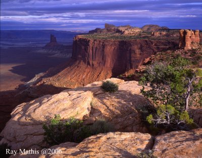
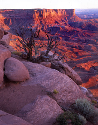
 5 Grandview Point |
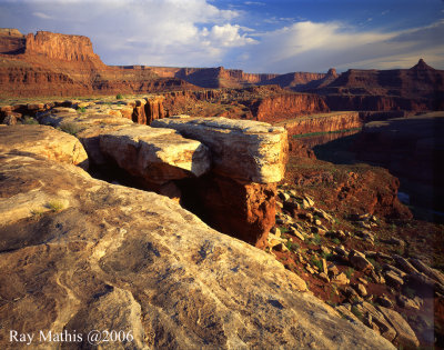
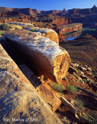
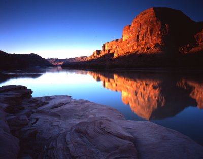
 6 Colorado River Overlook |
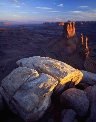
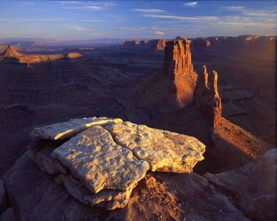
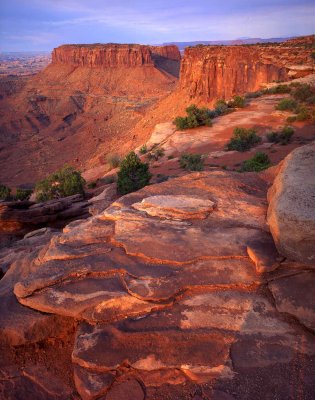
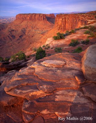
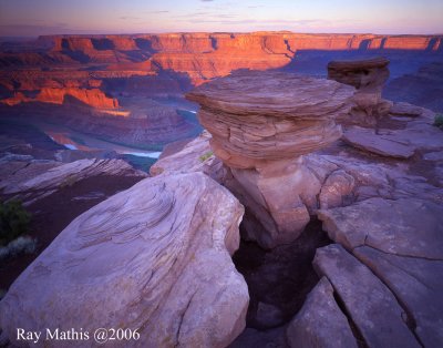
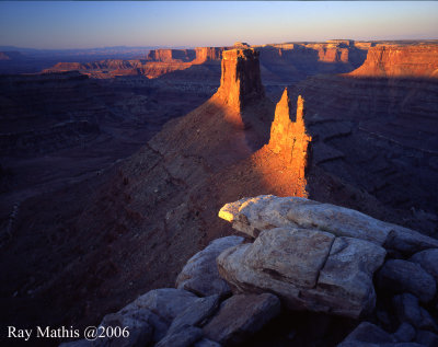
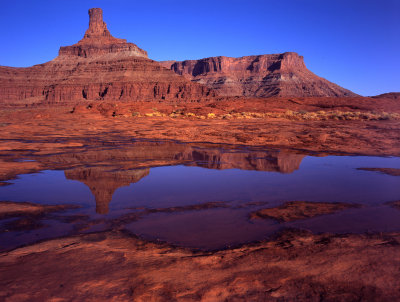
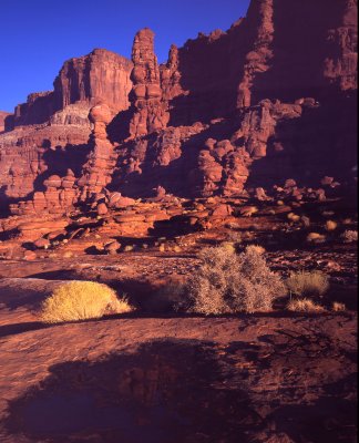
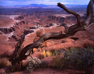
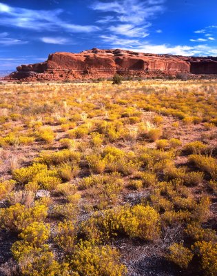
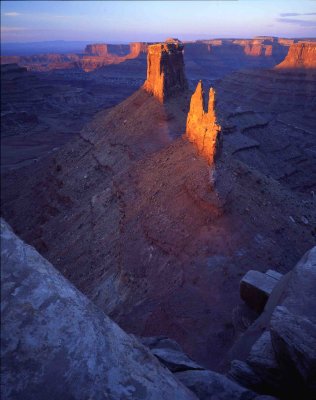 7 Marlboro Point |
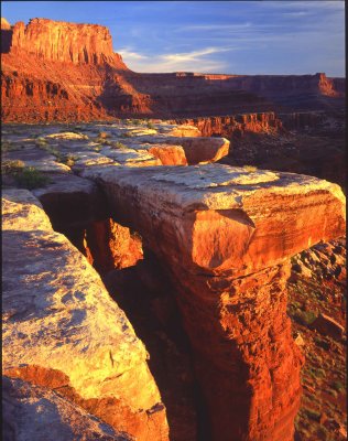
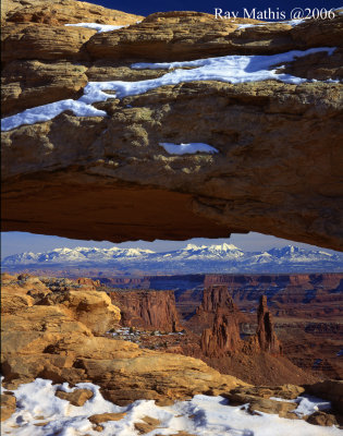
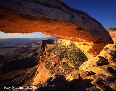
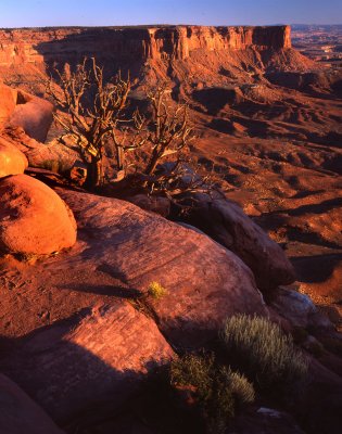
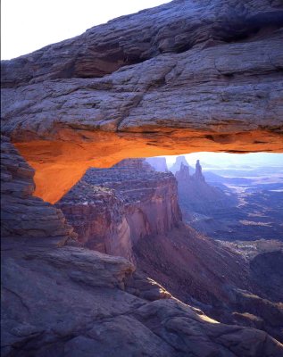 8 Mesa Arch |
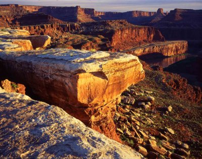
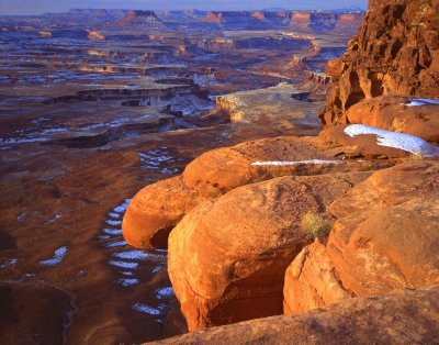
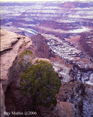
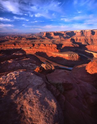
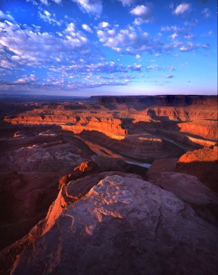
 9 Shafer Canyon from Dead Horse Point |
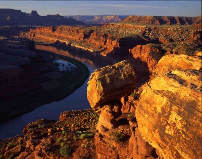
 10 Colorado River Overlook |
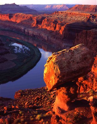
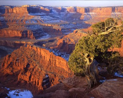
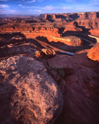
 11 Gooseneck from Dead Horse Point |
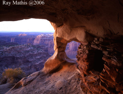
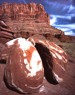
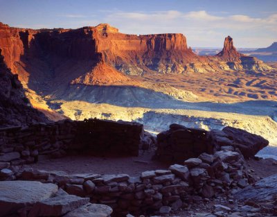 12 Anasazi Ruin, Candlestick Tower |
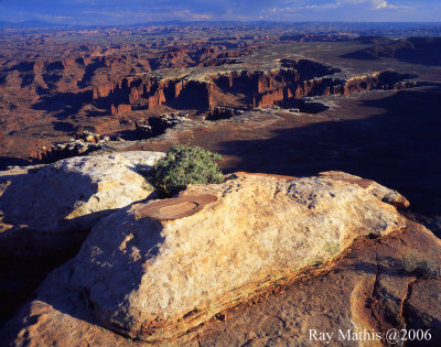
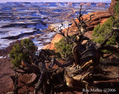
 13 Green River Overlook |
 14 Green River Overlook |
 15 Colorado River Overlook |
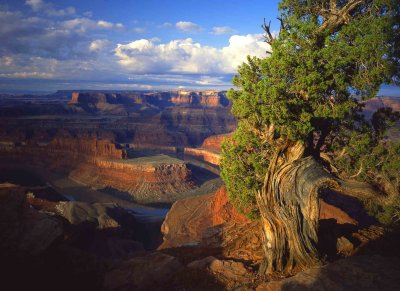
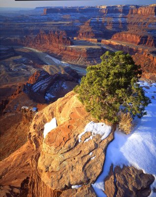 16 Gooseneck from Dead Horse Point |
 17 Grand View Point |
 18 Mesa Arch |
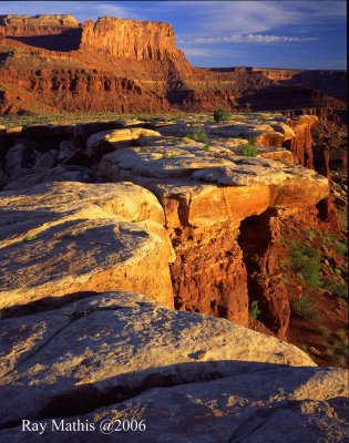
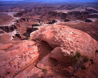
 19 White Rim Overlook |
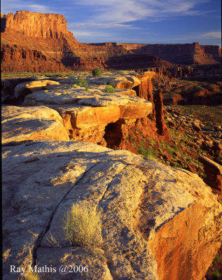
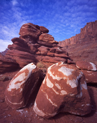
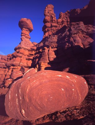
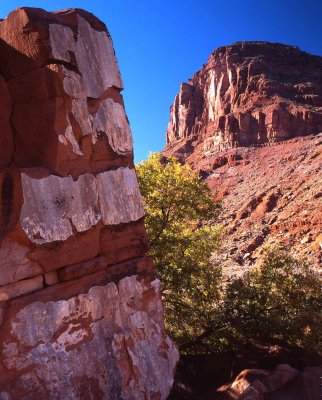
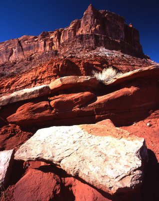
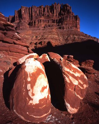
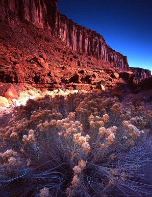
 20 Walking Rocks, White Rim |
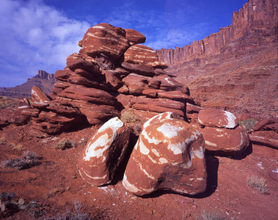
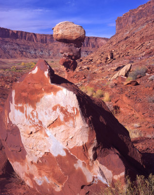
 21 Walking Rocks, White Rim |
 22 Grand View Point |
 23 Walking Rocks, White Rim |
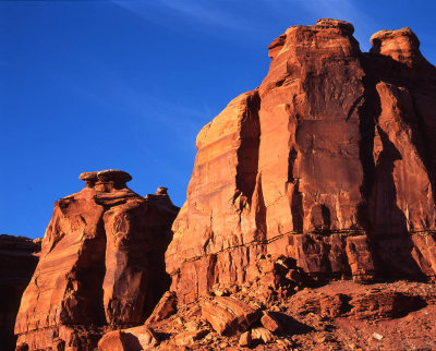
 24 Candlestick Tower |
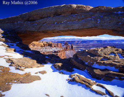 25 Mesa Arch |
 26 Dead Horse Point |
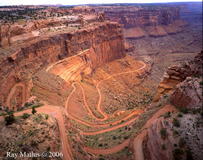 27 Shafer Canyon Trail |
 28 Dead Horse Point |
 29 Marlboro Point |
 30 Walking Rocks, White Rim |
 31 Green River Overlook |
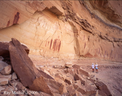 32 Great Gallery, Horse Canyon |
 33 Shafer Trail |
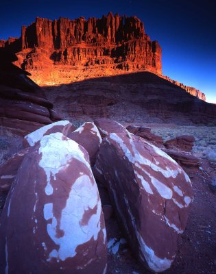
 34 Aztec Butter |
 35 Potash Road |
 36 Potash Road |
 37 Potash Road |
 38 Kane Creek |
 39 Potash Road |
 40 Kane Creek |
 41 Potash Road |
 42 Mesa Arch |
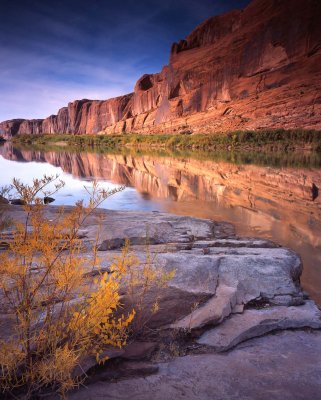
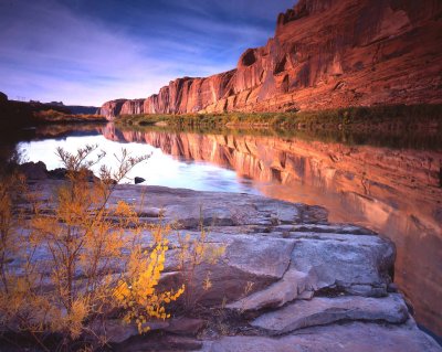
 Gold Bar, Colorado River, Moab, UT |
 Potash Road Rocks, Moab, UT |
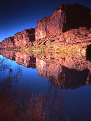
 Colorado River, Kane Creek Road, Moab, UT |
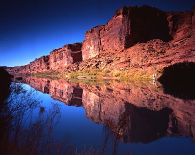
 Colorado River, Kane Creek Road, Moab, UT |
 Colorado River, HWY 128, Utah |
 Colorado River, HWY 128, Utah |
 Big Bend Rocks, HWY 128, Moab, UT |
 HWY 313, Moab Utah |
 HWY 313, Moab, Utah |
 Potash Road Rocks, Moab, UT |
 Long Canyon, near Moab, UT |
 Dead Horse Point SP |
 Dead Horse Point SP |
 Green River Overlook, Canyonlands NP |
 Green River Overlook, Canyonlands NP |
 HWY 313, near Moab, Utah |
 White Rim Overlook Trail, Canyonlands NP |
 White Rim Overlook Trail, Canyonlands NP |
 White Rim Overlook Trail, Canyonlands NP |
 HWY 313 near Canyonlands NP |
 Dead Horse Point SP |
 Green River Overlook, Canyonlands NP |
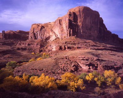
 Grand View Point, Canyonlands NP |
 Grand View Point, Canyonlands NP |
 Grand View Point, Canyonlands NP |
 Potash Rocks, near Moab, UT |
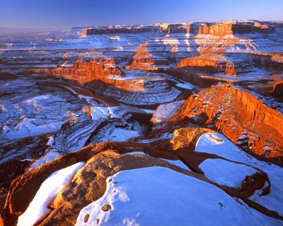
 Canyonlands Natrional Park, Utah |
 Canyonlands Natrional Park, Utah |
 Dead Horse Point State Park, UT |
 Dead Horse Point State Park, UT |
 Canyonlands Natrional Park, Utah |
| comment | share |
| Bill Taylor | 26-Aug-2015 16:23 | |
| Pierre | 11-Mar-2015 20:46 | |
| Gar Cropser | 02-Sep-2014 05:00 | |
| John Fleming | 13-Mar-2012 19:26 | |
| the Charles | 12-Mar-2011 06:53 | |
| Guest | 27-Sep-2010 18:40 | |
| Dennis Buchner | 24-Oct-2009 21:31 | |
| GeneWard | 29-Apr-2008 03:36 | |